The best road cycling routes around Montella
3.9
(98)
960
riders
14
rides
Road cycling around Montella is characterized by its position within the Monti Picentini Regional Park, offering varied terrain for cyclists. The town, situated at an elevation of 546 to 556 meters, provides a natural setting with inherent ascents and descents. This mountainous region features diverse ecosystems and winding roads, creating a challenging environment for road cycling.
Best road cycling routes around Montella
- The most popular road cycling route is Ruspoli Castle of Candriano loop from Montella, a 43.0 miles…
Last updated: July 1, 2026
25
riders
83.1km
04:09
1,290m
1,290m
Hard road ride. Very good fitness required. Mostly well-paved surfaces and easy to ride.
1.0
(1)
24
riders
54.8km
02:43
740m
740m
Moderate road ride. Good fitness required. Mostly well-paved surfaces and easy to ride.

Sign up for free
20
riders
86.8km
04:22
1,250m
1,250m
Hard road ride. Very good fitness required. Some segments of this route may be unpaved and difficult to ride.
4.0
(20)
18
riders
40.6km
02:04
640m
640m
Moderate road ride. Good fitness required. Mostly well-paved surfaces and easy to ride.
18
riders
63.6km
03:20
1,060m
1,060m
Hard road ride. Very good fitness required. Mostly well-paved surfaces and easy to ride.
Get access to more routes and recommendations from other explorers.
Sign up for free
Already have an account?
Our route recommendations are based on thousands of hikes, rides, and runs completed by other people on komoot.
Start today with a free account
Your next adventure awaits.
Login or Signup
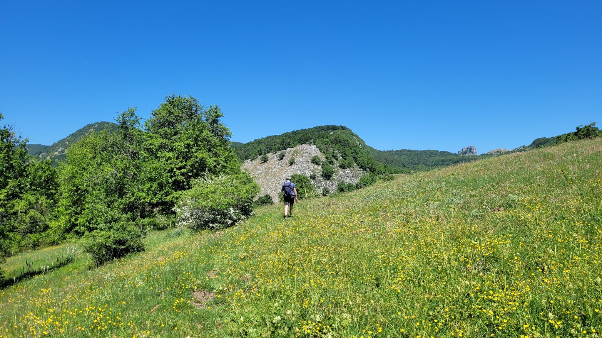
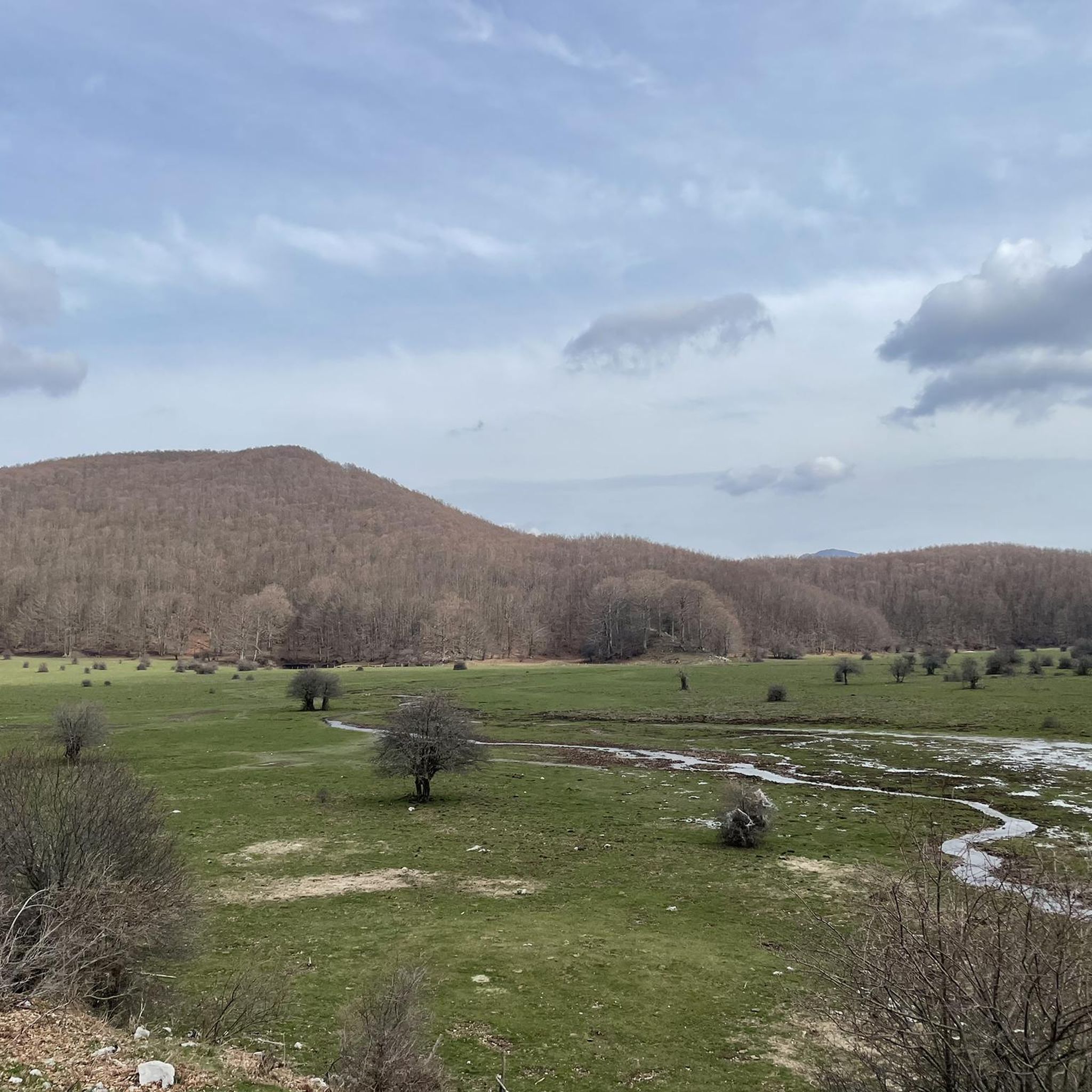
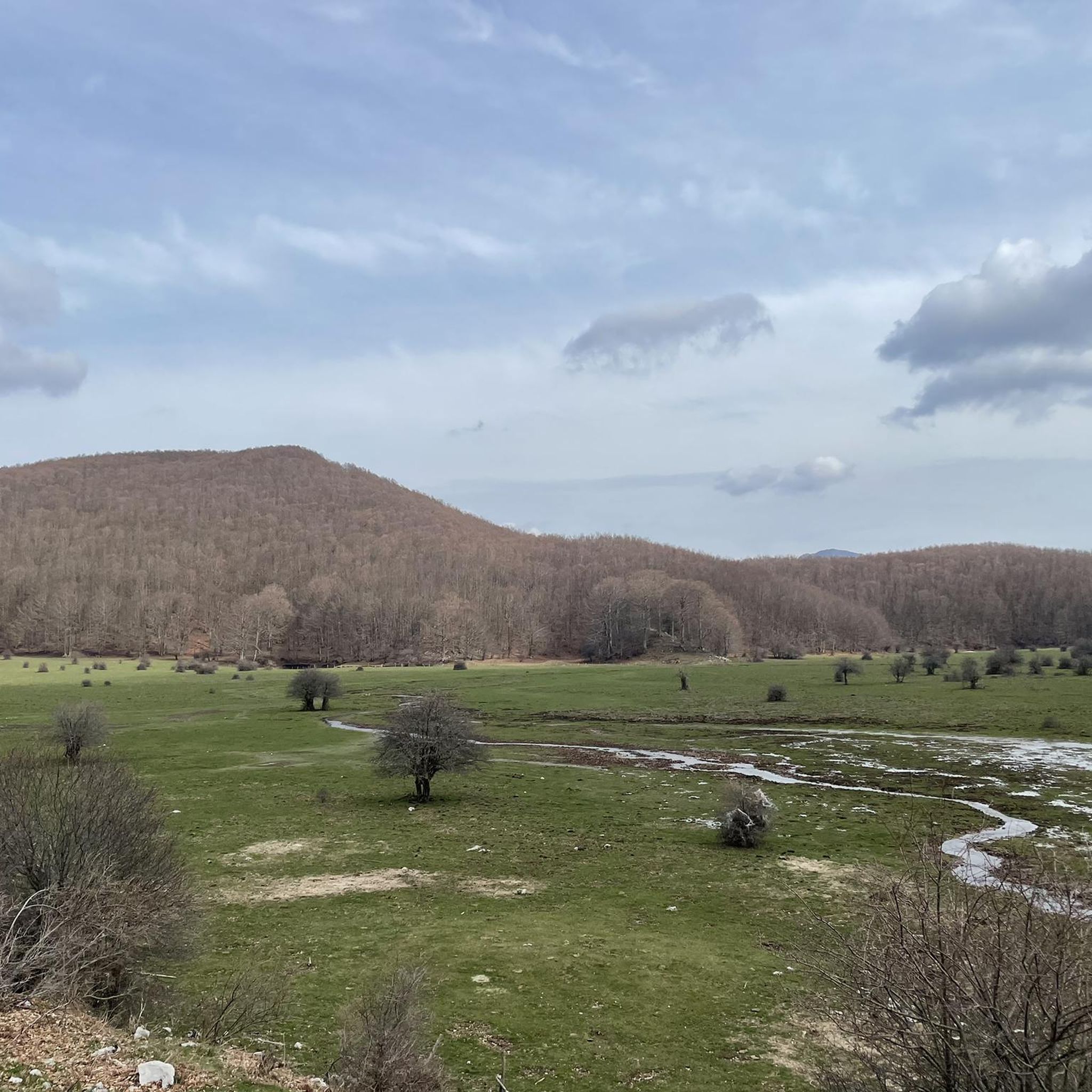
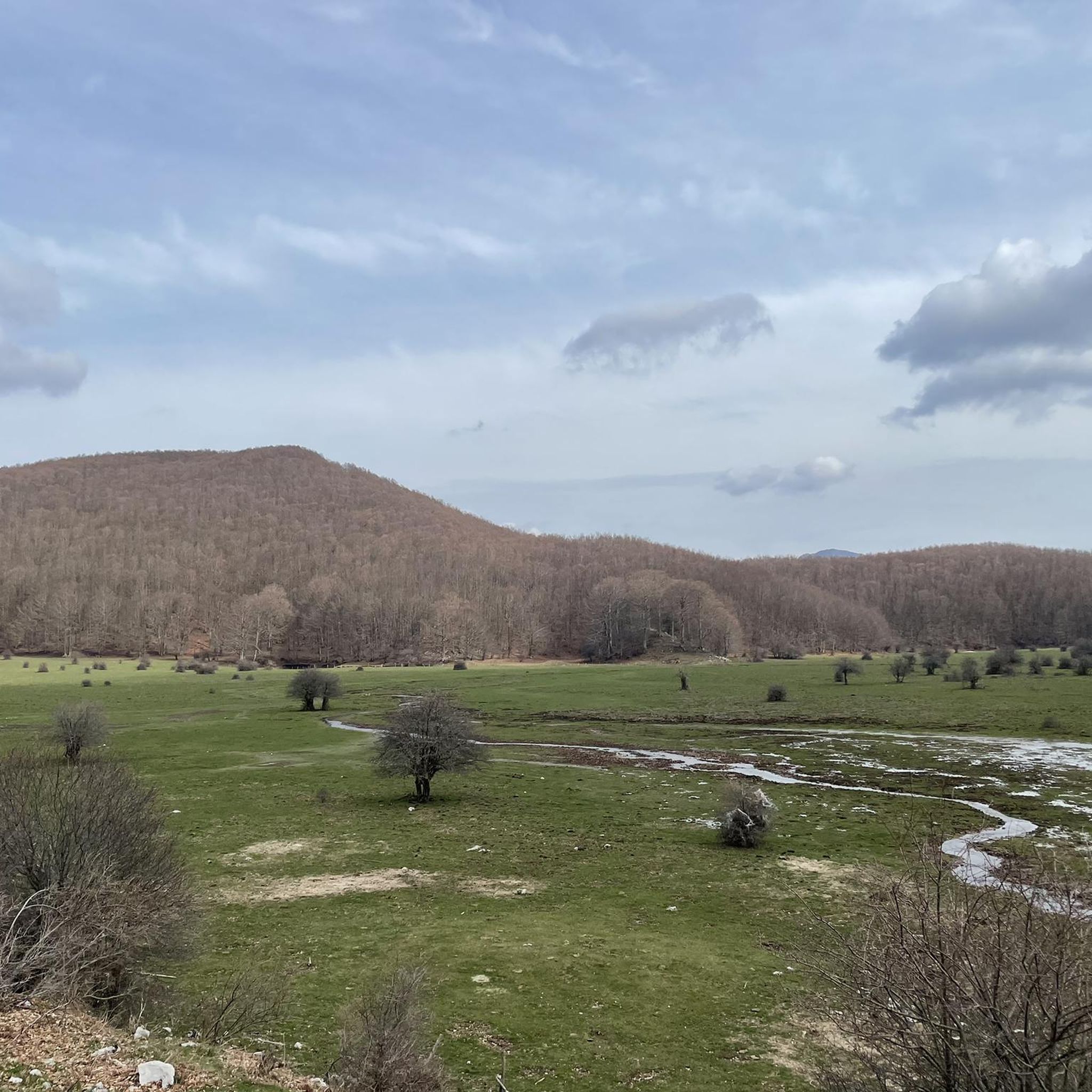
Other adventures around Montella

Tips from the Community

From the Castelvetere-Lioni state road you go down a lot, and then you have to go back up. There is a fountain on the left side as soon as you arrive.
1
0
It can be reached either from Ofantina, from the Sant'Angelo - Industrial Area junction there is a fast-flowing road, or from the state road that connects Lioni to Sant'Angelo or Torella d.L. If you choose, coming from Lioni, the junction for Nusco-Bagnoli (turn left immediately before the petrol station) there are roads with little traffic and with the scenic complex of the Picentini mountains on the left.
0
0
A place out of time, an oasis of peace as the sign in the internal entrance says ("respect this place of peace". Entering it by bike, silent and discreet, is a gesture of respect in the wake of the pilgrims on the path of San Guglielmo, patron saint of Irpinia.
0
0
Some views of the main square of the new town of Conza della Campania, the monument of two figures tearing apart the earth is evocative of the 1980 earthquake.
0
0

You can fill your water bottle! Pure and fresh water!
2
0

Incredibly suggestive place, it is undoubtedly worth a visit. Presence of toilets with drinking water to fill water bottles
0
0

Take bottles with you to fill up on delicious spring water
0
0

The pass of the Croci di Acerno marks the border between the provinces of Salerno and that of Avellino. At an altitude of 840 meters, several paths start from here within the Regional Park of the Picentini Mountains.
2
0
Frequently Asked Questions
How challenging are the road cycling routes around Montella?
Road cycling around Montella is primarily characterized by its mountainous terrain within the Monti Picentini Regional Park, offering routes that range from moderate to difficult. You can expect significant ascents and descents, providing a rewarding experience for cyclists seeking physical exertion.
What kind of scenery can I expect while road cycling in Montella?
You'll experience diverse landscapes, from winding roads through mountains to varied ecosystems within the Monti Picentini Regional Park. Many routes offer extensive views of the surrounding area, including the possibility of seeing the Pizzo San Michele Summit which overlooks Campania.
Are there any specific natural attractions to look out for on a road cycling tour?
Yes, the region is rich in natural beauty. While cycling, you might encounter features like the Casone De Fazio and Acqua Carpegna Spring. The nearby Pizzo San Michele Summit is also a prominent natural landmark offering breathtaking views.
Can I find routes suitable for beginners or those looking for an easier ride?
While Montella's terrain is generally challenging, there are moderate options available. For example, the Abbey of Goleto loop from Montella is a moderate 33.9-mile route, and the Beautiful Rock Fountain – Belvedere Tusciano loop from Montella is another moderate option at 40.6 miles.
What are some of the longer or more challenging road cycling routes available?
For those seeking a significant challenge, the Drinking Water Fountain – Ruspoli Castle of Candriano loop from Montella is a difficult 52.1-mile path with substantial elevation changes. Another demanding option is the Abbey of Goleto – Teora Monument loop from Montella, spanning 86.6 km.
Are there any circular road cycling routes starting from Montella?
Yes, many of the popular road cycling routes around Montella are designed as loops, starting and ending in the town. Examples include the Ruspoli Castle of Candriano loop from Montella and the Abbey of Goleto loop from Montella.
What is the best time of year to go road cycling in Montella?
Given Montella's elevation and mountainous terrain, spring and autumn generally offer the most pleasant conditions for road cycling, with milder temperatures and beautiful scenery. Summers can be warm, while winters may bring colder weather and potential for snow at higher elevations within the Monti Picentini Regional Park.
Are there any historical or cultural landmarks I can visit along the way?
Beyond natural beauty, Montella and its surroundings offer historical sites. The Abbey of Goleto loop from Montella suggests proximity to historical sites. The Convent of Saint Francis at Folloni is also a notable cultural attraction in the area.
What do other cyclists say about road cycling in Montella?
The road cycling routes in Montella are highly rated by the komoot community, with an average score of 3.8 stars from over 50 reviews. Cyclists often praise the mountainous vistas, winding roads, and the diverse ecosystems encountered along the trails.
Is Montella a good destination for family-friendly road cycling?
Montella's road cycling routes are generally characterized by significant elevation changes and are rated moderate to difficult. While specific family-friendly routes are not highlighted, families with experienced teenage cyclists might find the moderate routes enjoyable. Younger children or less experienced riders may find the terrain challenging.
Are there options for parking near the road cycling routes in Montella?
As a town recognized as a cycling hub, Montella likely offers various parking options for visitors. It's advisable to check local signage or inquire in the town center for the most convenient parking areas before starting your ride.
How many road cycling routes are available in Montella?
There are 14 road cycling routes available around Montella, offering a variety of distances and difficulty levels to explore the region's diverse landscapes.
Are there any routes that offer particularly extensive views?
Many routes in the Montella area, especially those traversing higher elevations, provide extensive views. The Ruspoli Castle of Candriano loop from Montella is specifically noted for offering extensive views of the surrounding landscape.
Most popular attractions around Montella

Get inspired with the komoot mobile app


Explore more
Browse the best Road cycling routes in other regions.
