The best road cycling routes around Saint-Christophe
4.3
(443)
13,511
riders
125
rides
Road cycling around Saint-Christophe features routes through mountainous terrain, including significant ascents to high passes and scenic lakes. The region is characterized by its dramatic elevation changes, with routes often following river valleys like the Dora Baltea before climbing towards alpine landscapes. Cyclists can expect a mix of challenging climbs and more moderate paths, traversing areas with historical significance and natural beauty.
Best road cycling routes around Saint-Christophe
- The most popular road cycling route is Great St Bernard Pass from…
Last updated: October 18, 2026
4.6
(7)
431
riders
65.2km
03:50
1,590m
1,590m
Hard road ride. Very good fitness required. Mostly well-paved surfaces and easy to ride.
4.5
(6)
170
riders
47.2km
03:03
1,280m
1,280m
Hard road ride. Very good fitness required. Mostly well-paved surfaces and easy to ride.

5.0
(2)
52
riders
18.5km
01:00
350m
350m
Moderate road ride. Good fitness required. Mostly well-paved surfaces and easy to ride.
4.6
(14)
389
riders
43.8km
02:40
1,130m
1,130m
Hard road ride. Very good fitness required. Mostly well-paved surfaces and easy to ride.
64
riders
85.1km
05:13
2,180m
2,180m
Hard road ride. Very good fitness required. Mostly well-paved surfaces and easy to ride.
Get access to more routes and recommendations from other explorers.
Already have an account?
Our route recommendations are based on thousands of hikes, rides, and runs completed by other people on komoot.
Start today with a free account
Your next adventure awaits.
Popular around Saint-Christophe
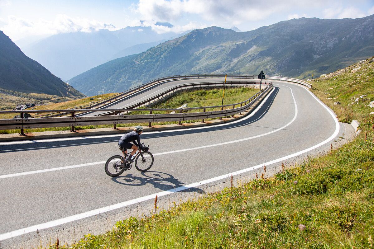
Road cycling in the Aosta Valley – major climbs and alpine routes
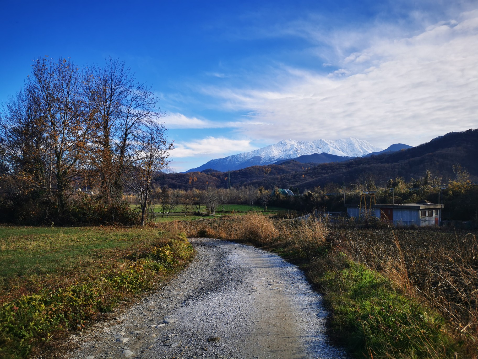
The alpine northwest – mountain gravel between Piedmont and the Aosta Valley
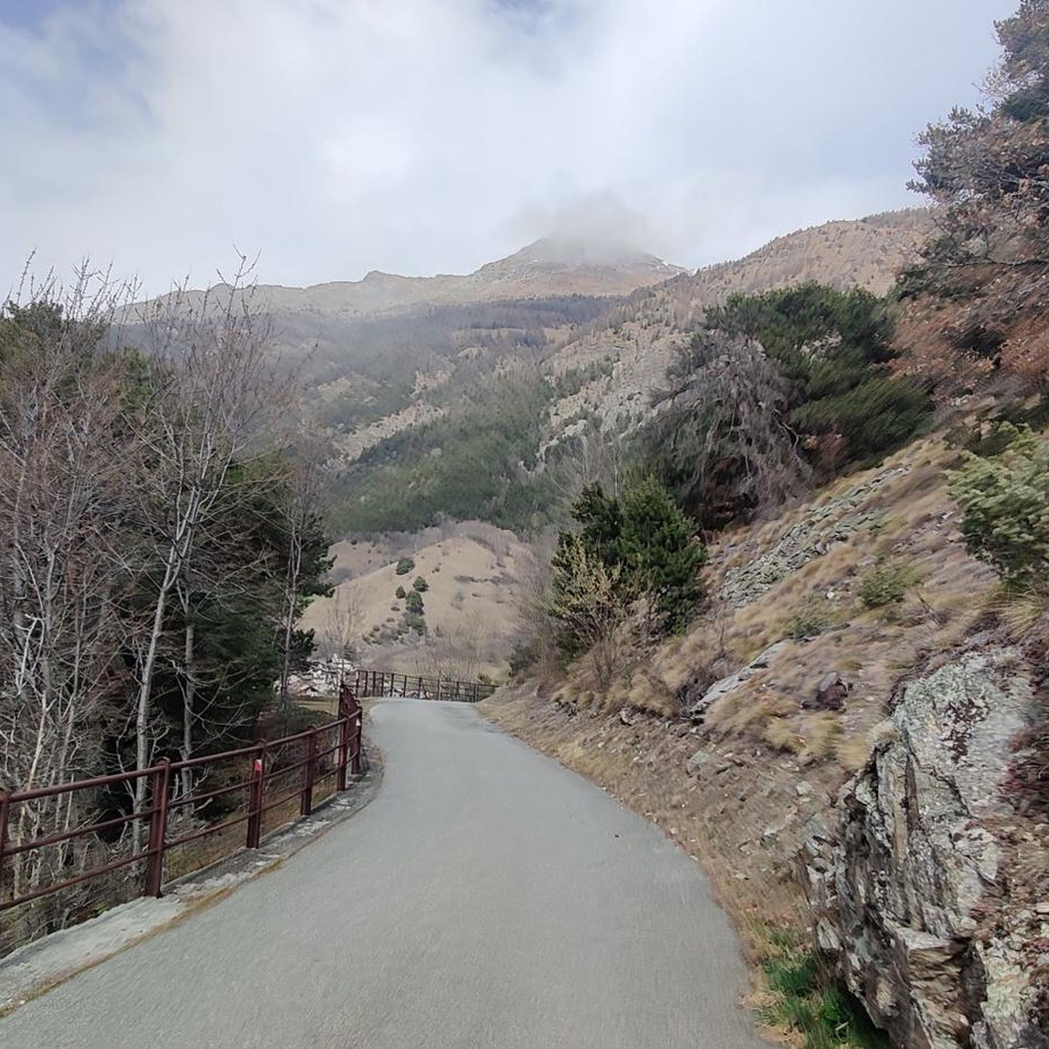
Hiking around Saint-Christophe
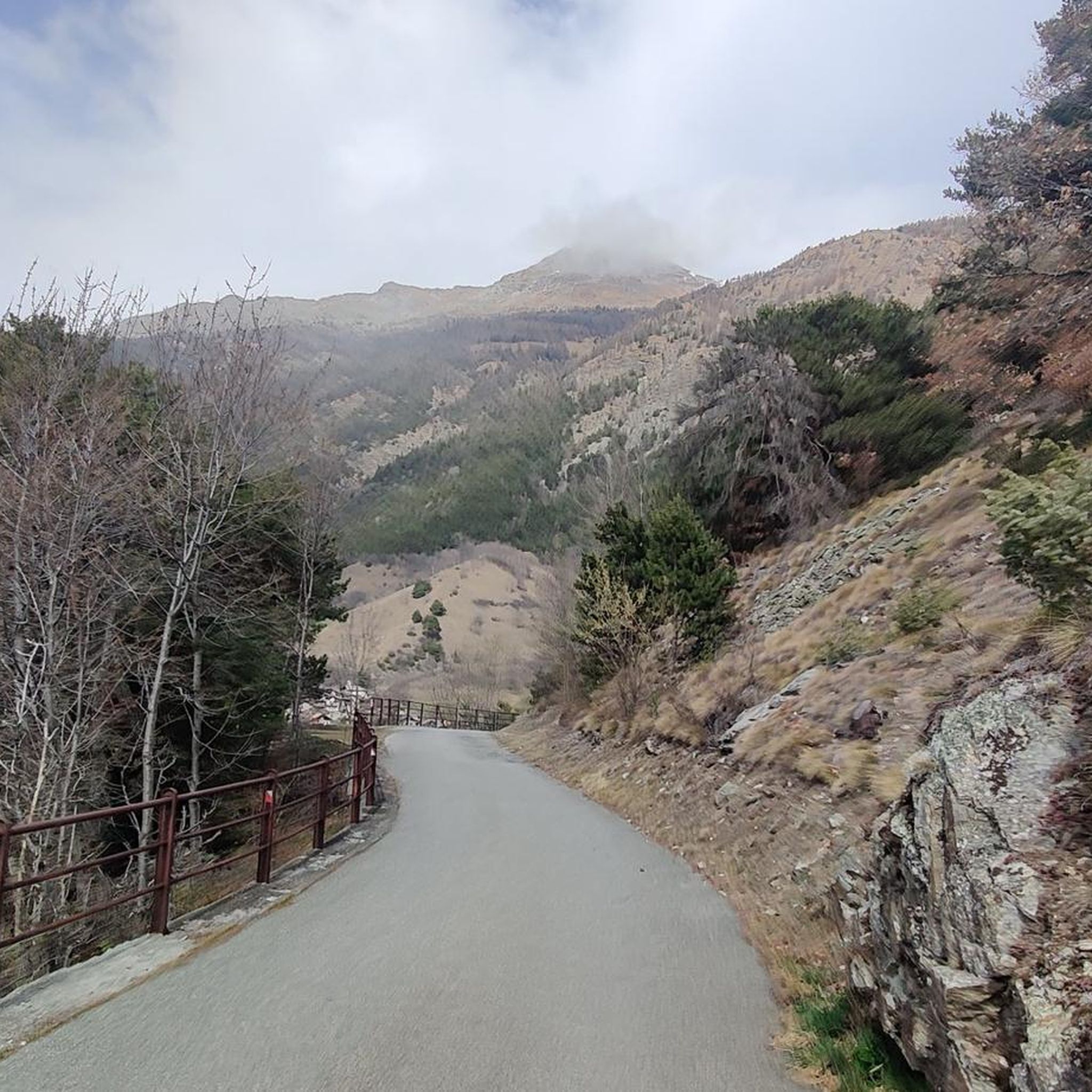
Cycling around Saint-Christophe
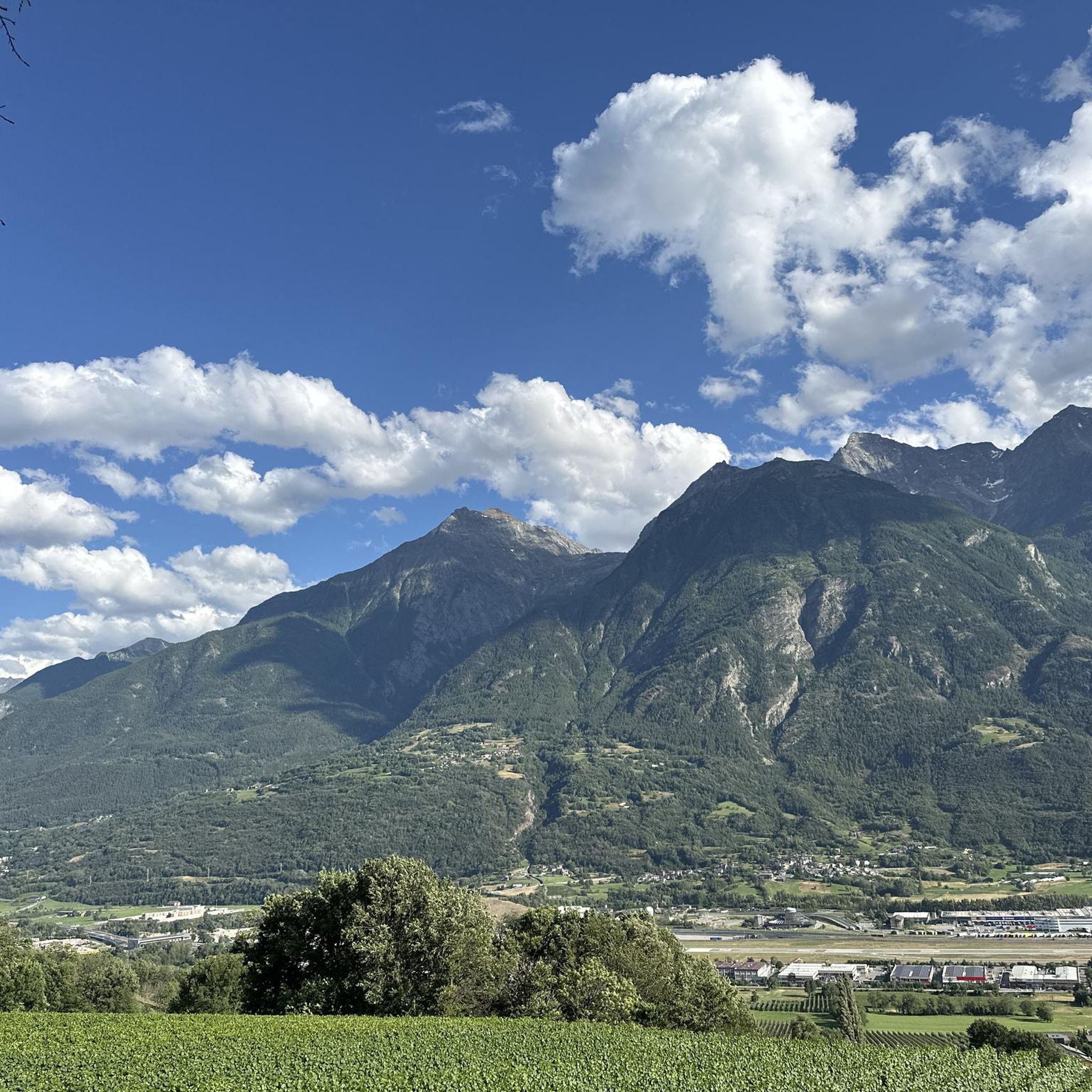
Running Trails around Saint-Christophe
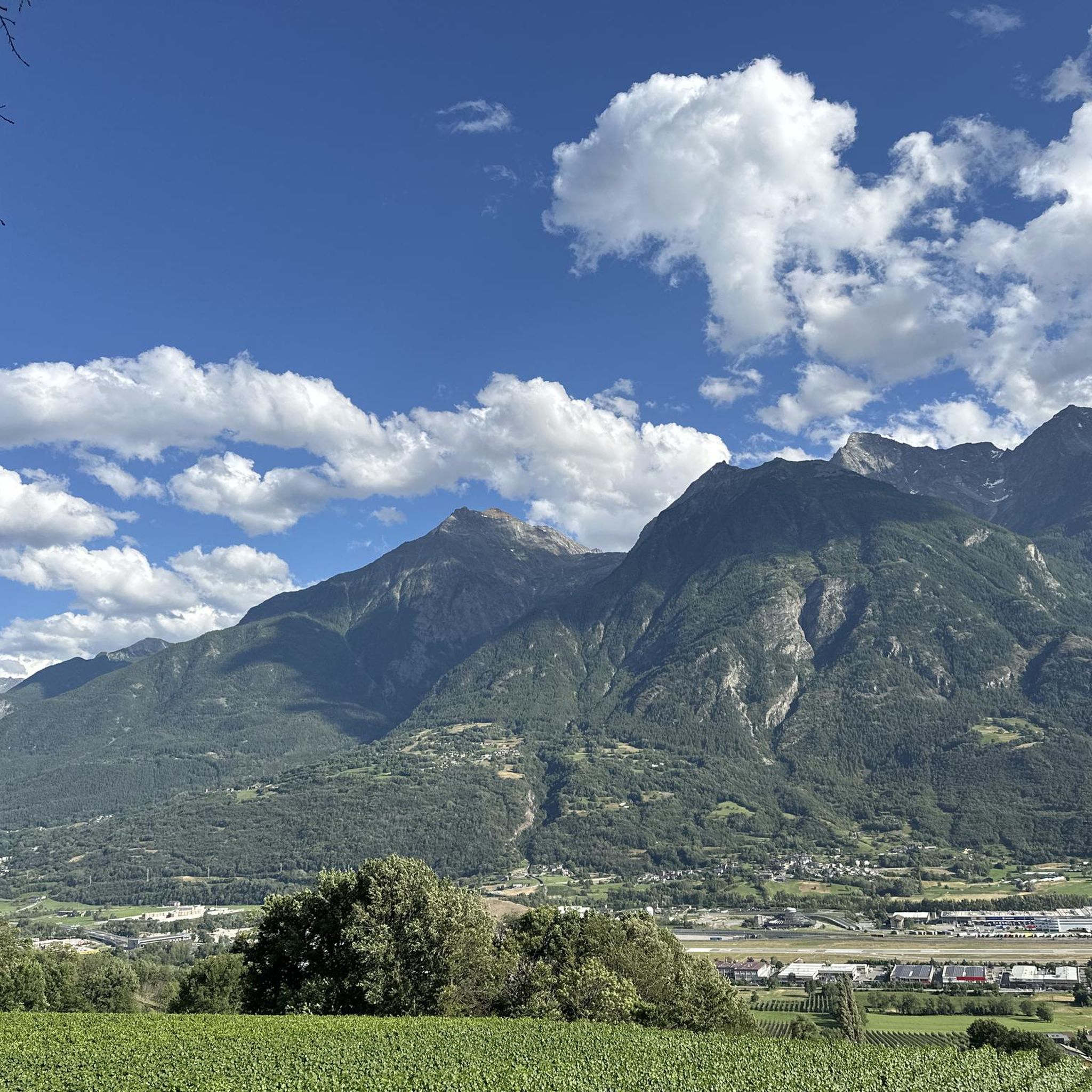
MTB Trails around Saint-Christophe

Gravel biking around Saint-Christophe
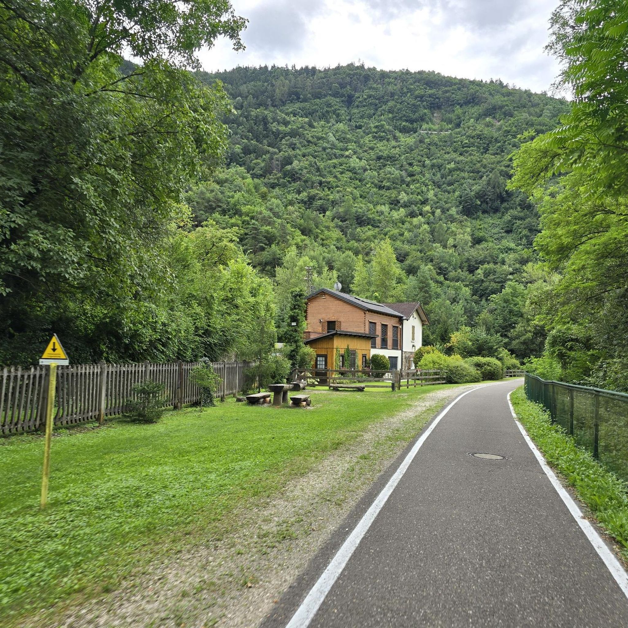
Mountain Hikes around Saint-Christophe


Tips from the Community

An exceptional panoramic view of the city below.
0
0

Lignan is located at about 1,600 meters in the Vallone di Saint-Barthélemy, in an open position that marks the transition from the woods to a more alpine environment. The road that reaches it is regular and very rideable, with an ever-widening view as you ascend. Here you will also find the Astronomical Observatory of the Aosta Valley, in an area particularly favorable for the quality of the sky.
0
0
This quiet side valley opens up above Nus and climbs the eastern slope of the Aosta plain. The road follows the valley floor with regular gradients, crossing woods and small hamlets until it reaches more open and panoramic altitudes. Reduced traffic allows you to fully enjoy the fantastic views of the valley.
0
0
In the center of the valley floor along the Dora Baltea, Nus marks the entrance to the Vallone di Saint-Barthélemy. It is an important passage point, surrounded by vineyards and known for the production of local wines such as Nus Malvoisie.
0
0
Gressan is a municipality at the gates of Aosta, located on the right orographic side of the Dora Baltea and an access point to various climbs towards the higher altitudes of the valley. From here begins one of the most continuous ascents in the area, with regular hairpin bends and constant gradients.
0
0
Valley floor access point a few minutes from Aosta, located near the confluence of the Dora Baltea and the Buthier stream. Several ascents to the surrounding slopes start from here.
0
0

You can also stay for just a few hours: the hour costs 50 cents (as of 2025).
0
0

The Arco di Augusto was built in 25 BC in honour of Emperor Augustus after the Roman victory over the Salassi. This impressive arch marks the northern entrance to the city and is located in line with the decumanus maximus. It is made of conglomerate blocks and has a single arch with a height of 11.40 metres. The ten half-columns on the facades and sides are decorated with Corinthian capitals. The Doric frieze, with metopes and triglyphs, adds a classical touch. In the Middle Ages it was known as Saint-Voût because of an image of the Redeemer that was placed there. During the 12th century it served as a residence for a local noble family and later as a fortress for the balestrieri. In 1716 the roof was replaced with slate due to water damage. The current appearance is the result of restoration work in 1912. Under the arch is a wooden cross, a copy of the original placed in 1449 as a votive offering against flooding from the Buthier River.
8
0
Frequently Asked Questions
How many road cycling routes are available around Saint-Christophe?
There are over 100 road cycling routes around Saint-Christophe, offering a diverse range of experiences. This includes approximately 23 easy routes, 40 moderate routes, and 44 difficult routes, catering to various skill levels.
Are there easy road cycling routes suitable for beginners in Saint-Christophe?
Yes, Saint-Christophe offers around 23 easy road cycling routes. These routes typically feature less challenging ascents and provide a good introduction to the region's beautiful landscapes without requiring extensive experience.
What are some challenging road cycling routes for experienced riders?
For experienced riders seeking a challenge, Saint-Christophe has approximately 44 difficult routes. Notable options include the demanding Great St Bernard Pass from Aosta, which features a substantial ascent to a historic mountain pass, and the Ascent to Lake Place Moulin from Aosta, known for its sustained climbing towards a scenic lake.
Are there any long-distance road cycling options in the area?
Yes, for those looking for longer rides, routes like the Dora Baltea River Bridge – Beautiful section of cycle path loop from Pollein offer extensive distances, covering over 100 kilometers. These routes allow for extended exploration of the region's varied terrain.
What kind of scenery can I expect on road cycling routes around Saint-Christophe?
Road cycling around Saint-Christophe is defined by its dramatic mountainous terrain, including significant ascents to high passes, scenic alpine lakes, and routes following river valleys like the Dora Baltea. You'll encounter a mix of natural beauty and areas with historical significance.
What attractions can I see along the road cycling routes in Saint-Christophe?
Many routes offer views of or pass near interesting landmarks. You might encounter historical sites like Émile Chanoux Square or Porta Pretoria (Aosta). Natural highlights include scenic spots like Lake Chamolé. Some routes also lead past impressive structures such as Aymavilles Castle.
What is the best time of year for road cycling in Saint-Christophe?
The best time for road cycling in Saint-Christophe is typically from late spring through early autumn (May to October). During these months, the weather is generally more stable, and higher mountain passes are usually clear of snow, offering optimal conditions for exploring the region's diverse routes.
Are there any circular road cycling routes available?
While specific routes aren't always explicitly tagged as circular, many of the road cycling paths around Saint-Christophe are designed as loops or can be combined to create circular tours. For example, the Dora Baltea River Bridge loop offers a substantial circular option.
What do other road cyclists say about the routes in Saint-Christophe?
The road cycling routes in Saint-Christophe are highly rated by the komoot community, with an average score of 4.6 stars from over 270 reviews. Cyclists often praise the challenging ascents, the stunning alpine scenery, and the well-maintained paths that lead to historic sites and beautiful lakes.
Where can I find parking for road cycling routes in Saint-Christophe?
Parking is generally available in and around the main towns and villages, such as Aosta, which serves as a common starting point for many routes. Specific parking information for individual trailheads can often be found in the route descriptions on komoot.
Are there road bike rental facilities in Saint-Christophe?
While komoot does not directly provide information on rental facilities, Saint-Christophe and the wider Aosta Valley region, being popular for cycling, typically have several sports shops or specialized rental services where you can hire road bikes. It's advisable to check local listings or contact tourist information centers for current options.
Most popular routes around Saint-Christophe
Most popular attractions around Saint-Christophe

Get inspired with the komoot mobile app


Explore more
Browse the best Road cycling routes in other regions.
