The best MTB trails around Sarre
4.6
(241)
2,390
riders
19
rides
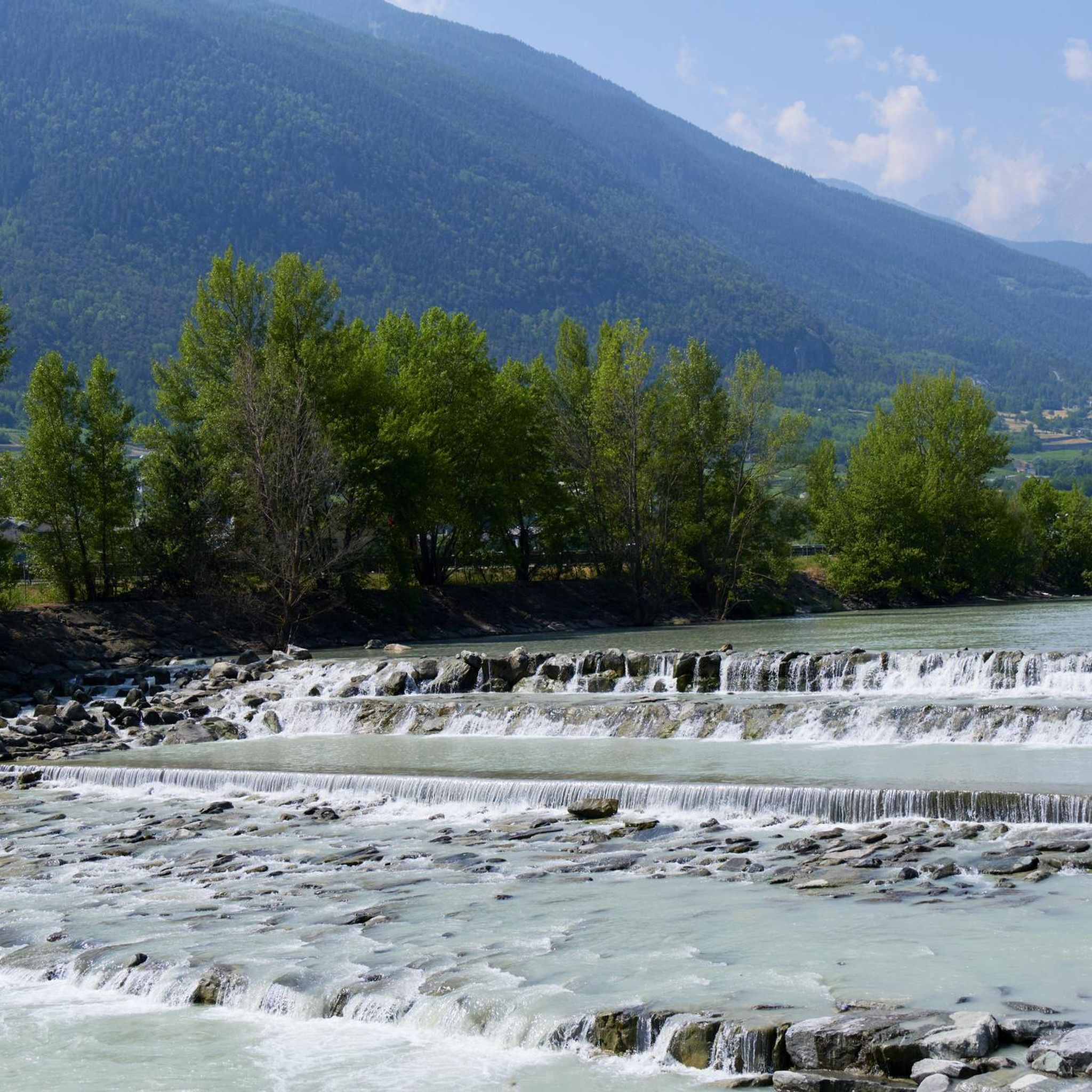
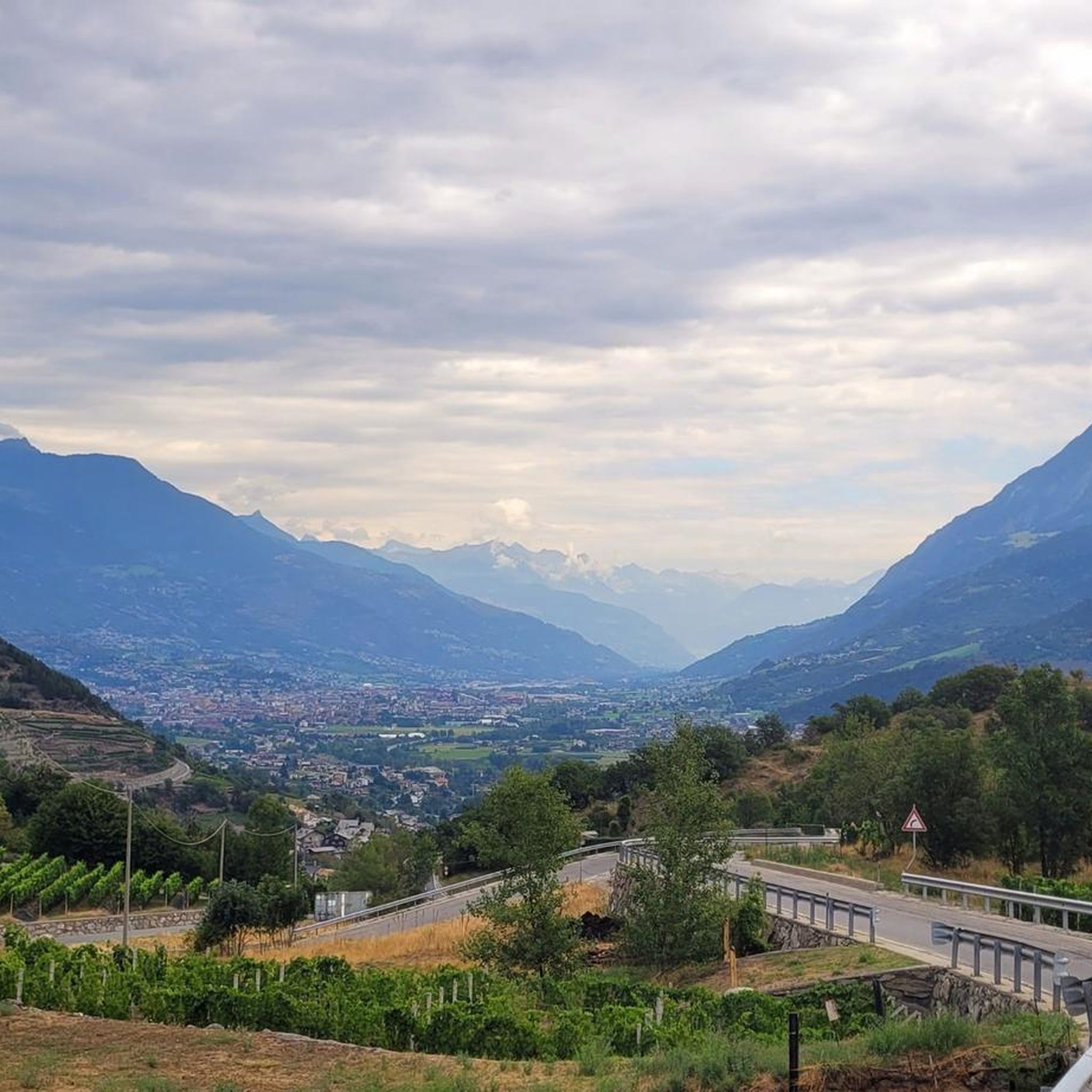
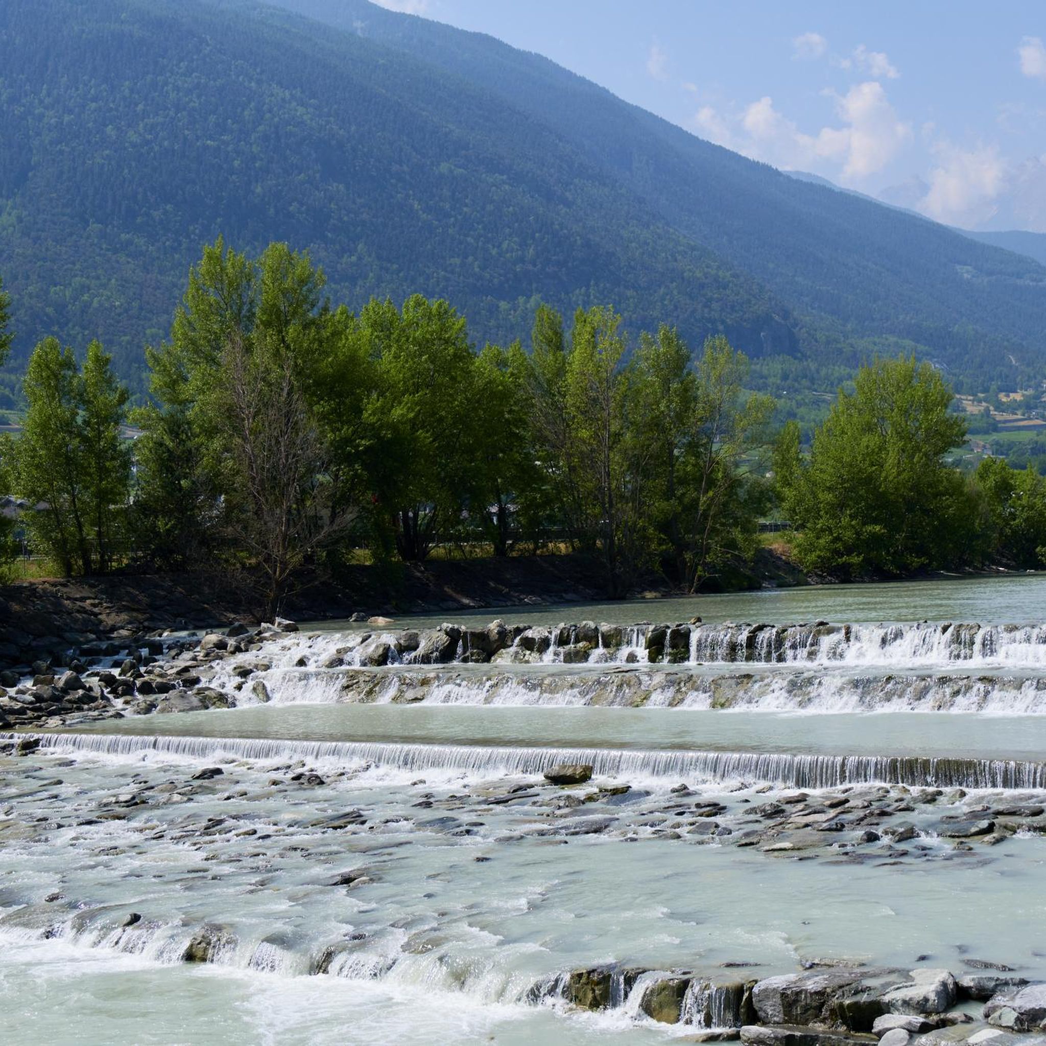
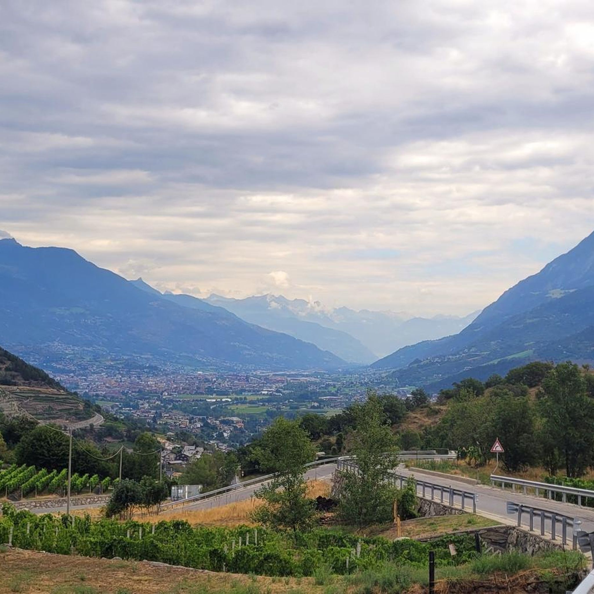
Mountain biking around Sarre offers diverse landscapes and well-developed trail networks, making it a notable destination for outdoor activities. The region features extensive forested areas, river valleys, and varied topography with hillsides and elevation changes. These physical features provide a range of natural mountain bike trails, often incorporating roots, rocks, and natural undulations.
Best mountain bike trails around Sarre
- The most popular mountain bike trail is Arch of Augustus – Tower of the Lords of Saint Ursus loop from Sarre…
Last updated: October 9, 2026
4.5
(6)
90
riders
32.7km
04:15
1,710m
1,710m
Hard mountain bike ride. Very good fitness required. Advanced riding skills necessary. Some portions of the route may require you to push your bike.
4.5
(4)
82
riders
28.2km
03:37
1,530m
1,530m
Hard mountain bike ride. Very good fitness required. Advanced riding skills necessary. Some portions of the route may require you to push your bike.

4.3
(3)
59
riders
28.7km
02:40
730m
730m
Moderate mountain bike ride. Good fitness required. Advanced riding skills necessary.
4.2
(5)
62
riders
63.9km
04:31
1,200m
1,200m
Hard mountain bike ride. Very good fitness required. Suitable for all skill levels.
4.7
(3)
70
riders
25.3km
02:29
1,020m
1,020m
Hard mountain bike ride. Very good fitness required. Advanced riding skills necessary.
Get access to more routes and recommendations from other explorers.
Already have an account?
Our route recommendations are based on thousands of hikes, rides, and runs completed by other people on komoot.
Start today with a free account
Your next adventure awaits.

Tips from the Community

Mountain tour through woods and spectacular panoramas
0
0

Arvier is located in a small basin in the central valley, surrounded by terraced vineyards and crossed by the Dora Baltea river. The village preserves traces of its medieval past, such as the Castello di La Mothe and the Romanesque bell tower, and is one of the access points to Valgrisenche, from where various ascents to more alpine environments begin.
0
0


https://youtu.be/mZBwtho5OI4 A flat path, entertaining for children with many attractions along the way
0
0
https://youtu.be/mZBwtho5OI4 Flat plain that bypasses the Alpine Road via a dirt road
0
0

The regional capital is located in the middle of the valley of the same name. The city still has the layout of the old Roman castrum, and in the car-free centre several monuments recall the Roman period. Aosta was a lively religious centre in the Middle Ages. St. Anselm, the later Archbishop of Canterbury who died in 1109, was born here. Today Aosta is a busy tourist hub at the crossroads of the roads to the Great St. Bernard Pass and Switzerland.
7
0
Piazza Émile Chanoux is the central square of Aosta, located in the Valle d’Aosta region of Italy. Named after the notary and resistance leader Émile Chanoux, the square is a rectangular square with its long sides facing north and south. The square is surrounded by elegant buildings, including the neoclassical Town Hall (Hôtel de Ville), which is richly decorated with frescoes and marquetry. In front of the Town Hall is a monument to the Soldier of the Aosta Valley, made by Pietro Canonica in 1924. The square serves as a meeting place and venue for festivals and markets, and is also home to the Hôtel des États, an important 18th-century building now used for temporary exhibitions.
5
0
The Arco di Augusto was built in 25 BC in honour of Emperor Augustus after the Roman victory over the Salassi. This impressive arch marks the northern entrance to the city and is located in line with the decumanus maximus. It is made of conglomerate blocks and has a single arch with a height of 11.40 metres. The ten half-columns on the facades and sides are decorated with Corinthian capitals. The Doric frieze, with metopes and triglyphs, adds a classical touch. In the Middle Ages it was known as Saint-Voût because of an image of the Redeemer that was placed there. During the 12th century it served as a residence for a local noble family and later as a fortress for the balestrieri. In 1716 the roof was replaced with slate due to water damage. The current appearance is the result of restoration work in 1912. Under the arch is a wooden cross, a copy of the original placed in 1449 as a votive offering against flooding from the Buthier River.
8
0
Frequently Asked Questions
How many mountain bike trails are available in Sarre?
Sarre offers a diverse network of over 20 mountain bike trails, catering to various skill levels. You'll find a good mix, with 3 easy, 4 moderate, and 17 difficult routes to explore.
What is the terrain like for mountain biking in Sarre?
The terrain in Sarre is quite varied, characterized by extensive forested areas, river valleys, and a diverse topography with hillsides and elevation changes. Trails often feature natural elements like roots, rocks, and undulations, providing an engaging ride. You can expect everything from challenging single trails in areas like the Warndt forest to flow trails with obstacles.
Are there easy mountain bike trails in Sarre suitable for beginners?
Yes, Sarre has 3 easy mountain bike trails that are suitable for beginners or those looking for a more relaxed ride. These trails offer a great way to experience the region's natural beauty without overly technical demands, often winding through the region's abundant forests.
Are there challenging mountain bike trails in Sarre for experienced riders?
Absolutely. Sarre is well-suited for experienced mountain bikers, with 17 difficult routes available. Trails like the Pila Downhill loop from Sarre offer significant elevation changes and technical sections. The region also features challenging single trails, particularly in areas like the Warndt forest, and dedicated bike parks with jumps and drops for adrenaline seekers.
What is the best time of year for mountain biking in Sarre?
The best seasons for mountain biking in Sarre are typically spring and autumn. During these times, temperatures are pleasant, making for ideal conditions to cycle through the region's extensive forests and varied landscapes.
Are there family-friendly mountain bike trails in Sarre?
While many trails in Sarre are rated as difficult, there are 3 easy routes that can be more suitable for families or those with less experience. These trails generally offer a less technical ride through the scenic forested areas, allowing for a pleasant outing together.
Are dogs allowed on mountain bike trails in Sarre?
The specific rules regarding dogs on mountain bike trails in Sarre are not universally specified. It's always best to check local signage or the specific trail's regulations before heading out with your dog, especially in nature reserves or protected areas.
What natural features can I see while mountain biking in Sarre?
Mountain biking in Sarre allows you to experience diverse natural features. You'll ride through extensive forested areas, particularly around St. Ingbert, known as the most forested city. The region also features picturesque river valleys, such as along the Saar River, and varied topography with hillsides. The Bliesgau Biosphere Reserve is another popular destination for MTB tours, showcasing a commitment to preserving natural environments.
Are there any historical landmarks or castles along the mountain bike trails in Sarre?
Yes, Sarre's mountain bike trails often pass by significant historical landmarks and castles. For instance, the Arch of Augustus – Tower of the Lords of Saint Ursus loop from Sarre takes you past historical sites. Another route, the Castello Sarriod de la Tour – Saint-Pierre Church and Castle loop from Sarre, explores historical castles and churches. You can also find nearby attractions like Aymavilles Castle and Quart Castle, which are worth exploring.
Are there circular mountain bike routes in Sarre?
Yes, all the mountain bike routes listed in this guide, such as the Singletrail S1 – Strada dei Salassi loop from Sarre, are circular. This allows you to start and end your ride in the same location, making logistics easier.
Is parking available near the mountain bike trails in Sarre?
While specific parking locations aren't detailed for every trail, Sarre is generally well-equipped for outdoor activities. You can typically find parking facilities near trailheads or in nearby towns and villages. It's advisable to check the starting point of your chosen route on komoot for more precise parking information.
What do other mountain bikers say about the trails in Sarre?
The mountain bike trails in Sarre are highly rated by the komoot community, with an average score of 4.6 stars from over 280 reviews. More than 2900 mountain bikers have used komoot to explore Sarre's varied terrain, often praising the diverse landscapes, well-developed trail networks, and the blend of natural beauty with challenging sections.
Most popular attractions around Sarre

Get inspired with the komoot mobile app


Explore more
Browse the best MTB trails in other regions.
