The best cycling routes around La Magdeleine
4.6
(246)
3,981
riders
101
rides
Touring cycling around La Magdeleine is characterized by its alpine environment in the Aosta Valley, offering routes through mountainous terrain with significant elevation changes. The landscape features dense forests, alpine pastures, and is set against the backdrop of the Rosa massif mountains. Cyclists can expect challenging rides across varied surfaces, including some unpaved segments.
Best touring cycling routes around La Magdeleine
- The most popular touring cycling route is Champoluc Village – Pian Villy Wood Carvings Trail loop from Antagnod,…
Last updated: October 8, 2026
5.0
(11)
254
riders
55.8km
05:48
1,760m
1,760m
Hard bike ride. Very good fitness required. You may need to push your bike for some segments of this route.
4.7
(3)
47
riders
29.2km
02:44
1,000m
1,000m
Hard bike ride. Very good fitness required. Mostly paved surfaces. Suitable for all skill levels.

5.0
(2)
19
riders
18.2km
01:32
590m
590m
Hard bike ride. Very good fitness required. Mostly paved surfaces. Suitable for all skill levels.
5.0
(1)
24
riders
35.2km
02:59
1,210m
1,210m
Hard bike ride. Very good fitness required. Mostly paved surfaces. Suitable for all skill levels.
4.0
(2)
15
riders
16.6km
01:27
610m
610m
Hard bike ride. Very good fitness required. Mostly paved surfaces. Suitable for all skill levels.
Get access to more routes and recommendations from other explorers.
Already have an account?
Our route recommendations are based on thousands of hikes, rides, and runs completed by other people on komoot.
Start today with a free account
Your next adventure awaits.
Popular around La Magdeleine

Cammino Balteo – castles, vineyards and trails of the Aosta Valley

Paths, castles and views of Italy’s Aosta Valley – Cammino Balteo
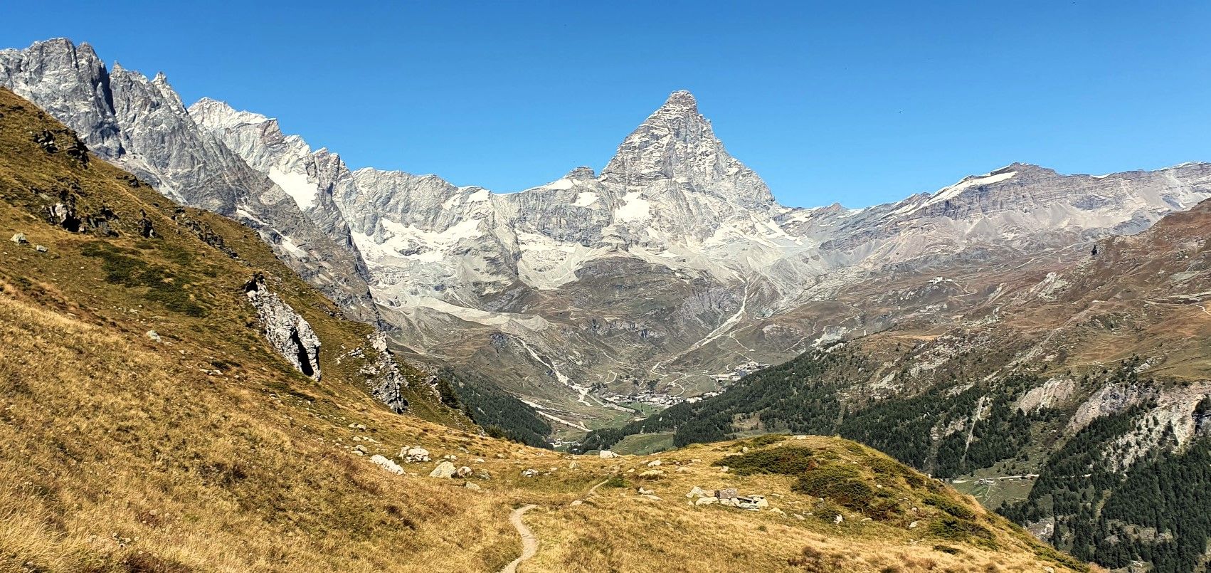
Running with the King – Great Balcony of the Matterhorn
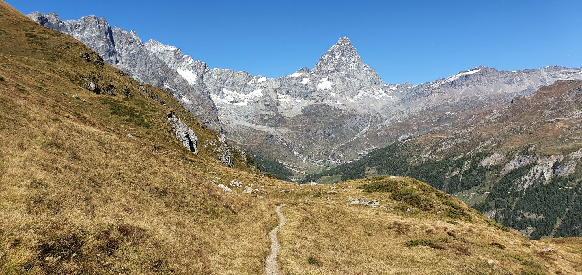
A breath away from the king — Grand Balcony of the Matterhorn
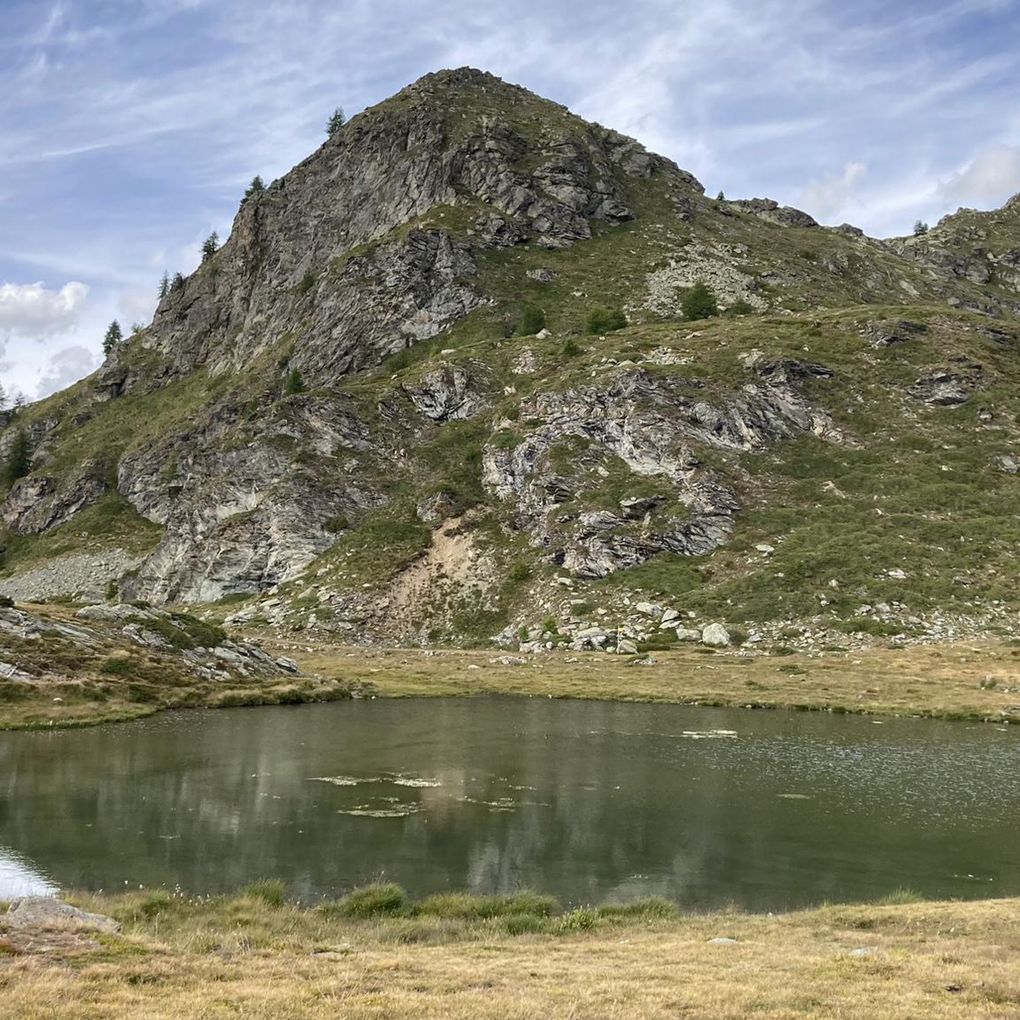
Road Cycling Routes around La Magdeleine
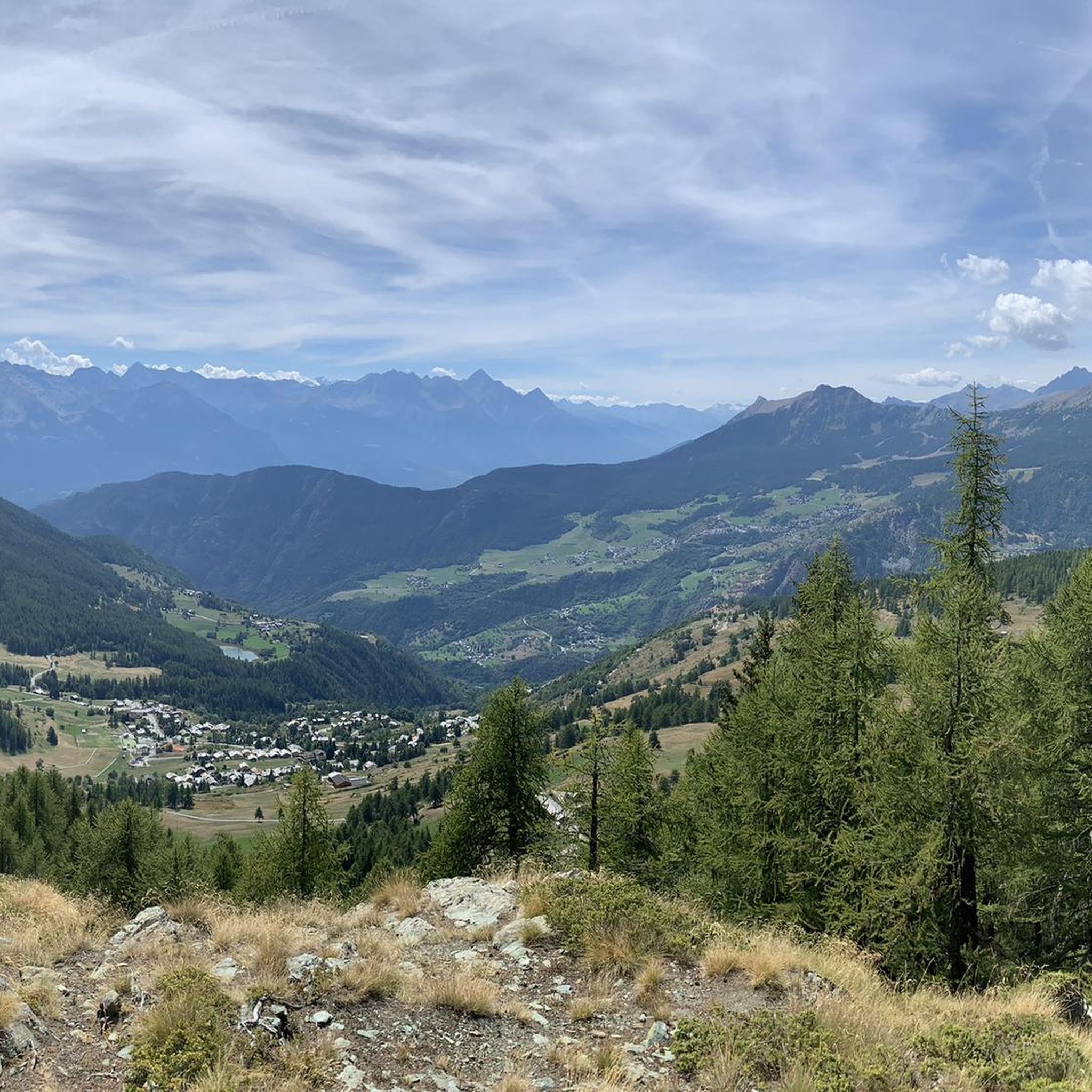
Hiking around La Magdeleine
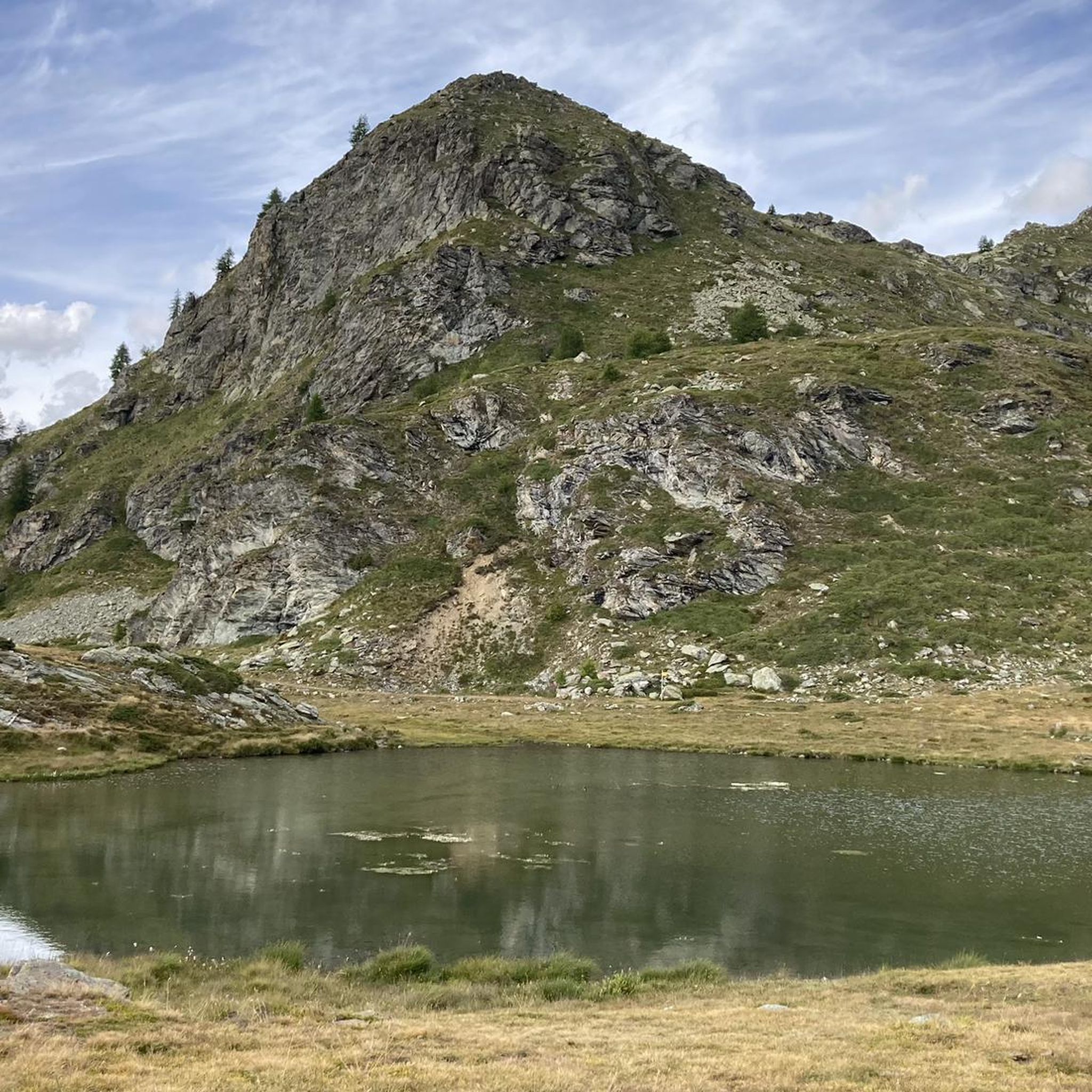
MTB Trails around La Magdeleine
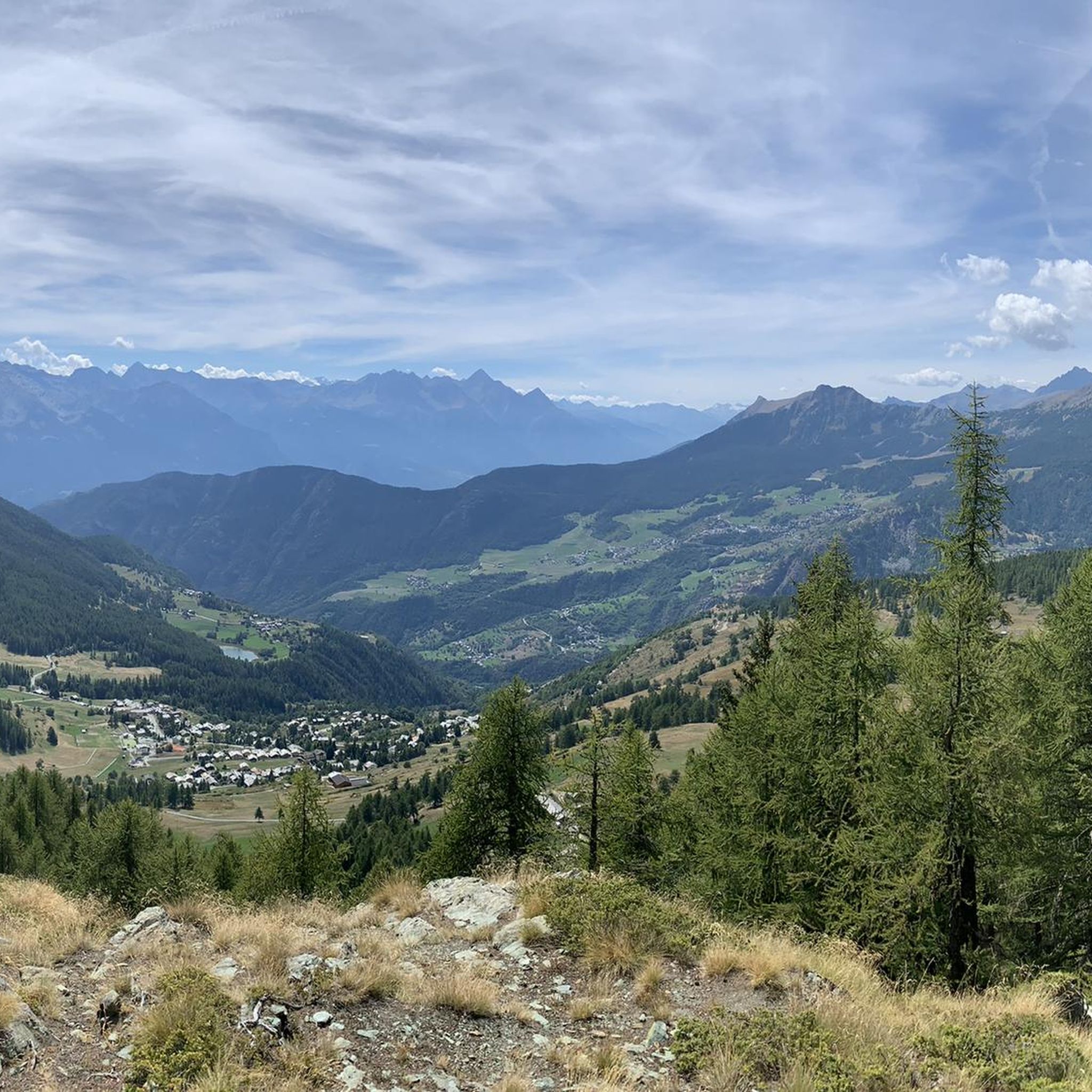
Running Trails around La Magdeleine

Gravel biking around La Magdeleine
Mountain Hikes around La Magdeleine
Other adventures around La Magdeleine


Tips from the Community

Grand Villa is located on the upper part of the Verrayes plateau, with a magnificent landscape over all the mountains of the Middle Valley. Above the village stand the Becca d'Aver and Cima Longhede, which dominate the surrounding landscape and from which, on clear days, it is said that the territories of 54 Aosta Valley municipalities can be seen. The immediate landscape is that of the typical mid-mountain Aosta Valley: dense forests of broadleaf and coniferous trees alternate with open meadows and pastures, with the small nucleus of the village — a handful of stone houses that preserve the original rural character — immersed in this silent and little-frequented environment. The vegetation benefits from a particularly favorable microclimate, with a botanical richness that surprises those arriving from the valley. Grand Villa is close to the Stagno di Lozon Nature Reserve, a wetland of great naturalistic interest that completes the environmental picture of this corner of Verrayes still far from the most beaten tourist circuits.
0
0
The Lo Ditor pond is located at an altitude of 1,900 meters. It is a flat wetland area formed by the Petit Monde stream and surrounded by larch woods. The area is classified as a Special Conservation Area due to the rarity of its habitats, including limestone springs that promote the growth of rare plants. Furthermore, this ecosystem ensures the ideal microclimate for the common frog, which chooses these shallow waters for egg-laying during the thaw.
0
0

Beautiful view of Punta Tzan and the Lo Ditor pond
0
0

Alpe Cortina, located at 2,078 meters above sea level in the municipality of Valtournenche, is an ideal destination for mountain lovers looking for tranquility and breathtaking views.
1
0
Rifugio Jean Barmasse, at 2,169 meters above sea level in Valtournenche, is a welcoming refuge that welcomes hikers looking for tranquility and breathtaking views. Immersed in a unique natural setting, it offers a rustic and warm atmosphere, perfect for recharging your batteries after a day on trails and Alpine lakes. Its strategic position makes it an ideal starting point for exploring the wonders of Alta Via 1 and the surrounding mountains.
1
0

Making this climb to see the Matterhorn is worth it.
24
0
In the winter months, from Semon you can see the sun setting behind the tip of Emilius, with golden reflections spreading all around.
0
0
A handful of characteristic stone and wood houses grouped around the church, resting on the slope of the plateau and facing the curtain of mountains, all with peaks over 3000, which stand out in front.
0
0
Frequently Asked Questions
What kind of terrain can I expect when touring cycling in La Magdeleine?
La Magdeleine, nestled in the Italian Alps, offers a challenging alpine environment for touring cyclists. You'll encounter mountainous terrain with significant elevation gains and descents, dense forests, and high alpine pastures. Some segments of the routes may be unpaved, adding to the adventure.
How many touring cycling routes are available in La Magdeleine?
There are over 80 touring cycling routes in La Magdeleine. The majority, around 60, are classified as difficult, with about 20 moderate and a few easier options available.
Are there any family-friendly touring cycling routes in La Magdeleine?
While many routes in La Magdeleine are challenging and best suited for experienced cyclists due to significant elevation changes, there are a few easier options available. For families, it's recommended to carefully review route profiles for less demanding sections or consider shorter, flatter paths if available, though these are less common in this mountainous region.
What are some notable natural features or landmarks I might see along the touring cycling routes?
As you cycle through La Magdeleine, you'll be surrounded by stunning alpine scenery, including dramatic views of the Rosa Massif mountains, other peaks, and mountain passes. You might also encounter traditional Walser-style houses, adding a cultural element to the landscape. For specific natural attractions, consider exploring areas near the Mascognaz Waterfall or the Busserailles Caves and Waterfall.
Are there any historical sites or castles accessible by bike?
Yes, the Aosta Valley region is rich in history and features several castles. While cycling, you might pass by or near impressive structures like Bovaye - Castello Gamba, Ussel Castle, or Chenal Castle. These offer a glimpse into the region's past and can be interesting stops along your ride.
What is the best time of year for touring cycling in La Magdeleine?
The best time for touring cycling in La Magdeleine is typically during the warmer months, from late spring to early autumn. This period offers more favorable weather conditions, with less snow on higher passes and generally clearer trails. Always check local weather forecasts before heading out, as alpine conditions can change rapidly.
Are there any circular touring cycling routes in La Magdeleine?
Yes, many routes in La Magdeleine are designed as loops. For example, you can try the challenging Alpe Arpeille loop from Torgnon, which takes you through alpine pastures, or the View of Forest Trail loop from La Magdeleine for extensive views and significant climbing.
What do other touring cyclists say about the routes in La Magdeleine?
The touring cycling routes in La Magdeleine are highly rated by the komoot community, with an average score of 4.6 stars from over 190 reviews. Cyclists often praise the challenging climbs, the stunning alpine views, and the sense of accomplishment from tackling the mountainous terrain.
Can I find routes that connect different villages in the area?
Yes, the touring cycling network in La Magdeleine often connects various villages, allowing you to experience the local culture and architecture. Routes like the Champoluc Village – Pian Villy Wood Carvings Trail loop from Antagnod offer a blend of natural beauty and village connections.
Are there any gravel sections on the touring cycling routes?
Yes, some routes in La Magdeleine feature unpaved sections, including gravel paths. An example is the Bosco di Goen Picnic Area – Extrepieraz–Vollon Gravel Path loop from Antagnod, which incorporates gravel terrain, adding to the varied cycling experience.
What is the typical difficulty level for touring cycling in La Magdeleine?
Touring cycling in La Magdeleine is predominantly challenging, with the majority of routes classified as difficult. Cyclists should expect significant elevation changes, strenuous climbs, and descents, making it ideal for those seeking a demanding mountain biking experience. There are a limited number of moderate and easy routes available.
Most popular routes around La Magdeleine
Most popular attractions around La Magdeleine

Get inspired with the komoot mobile app


Explore more
Browse the best Cycling routes in other regions.
