The best walks and hikes around Stedesand
4.6
(864)
3,986
hikers
300
hikes
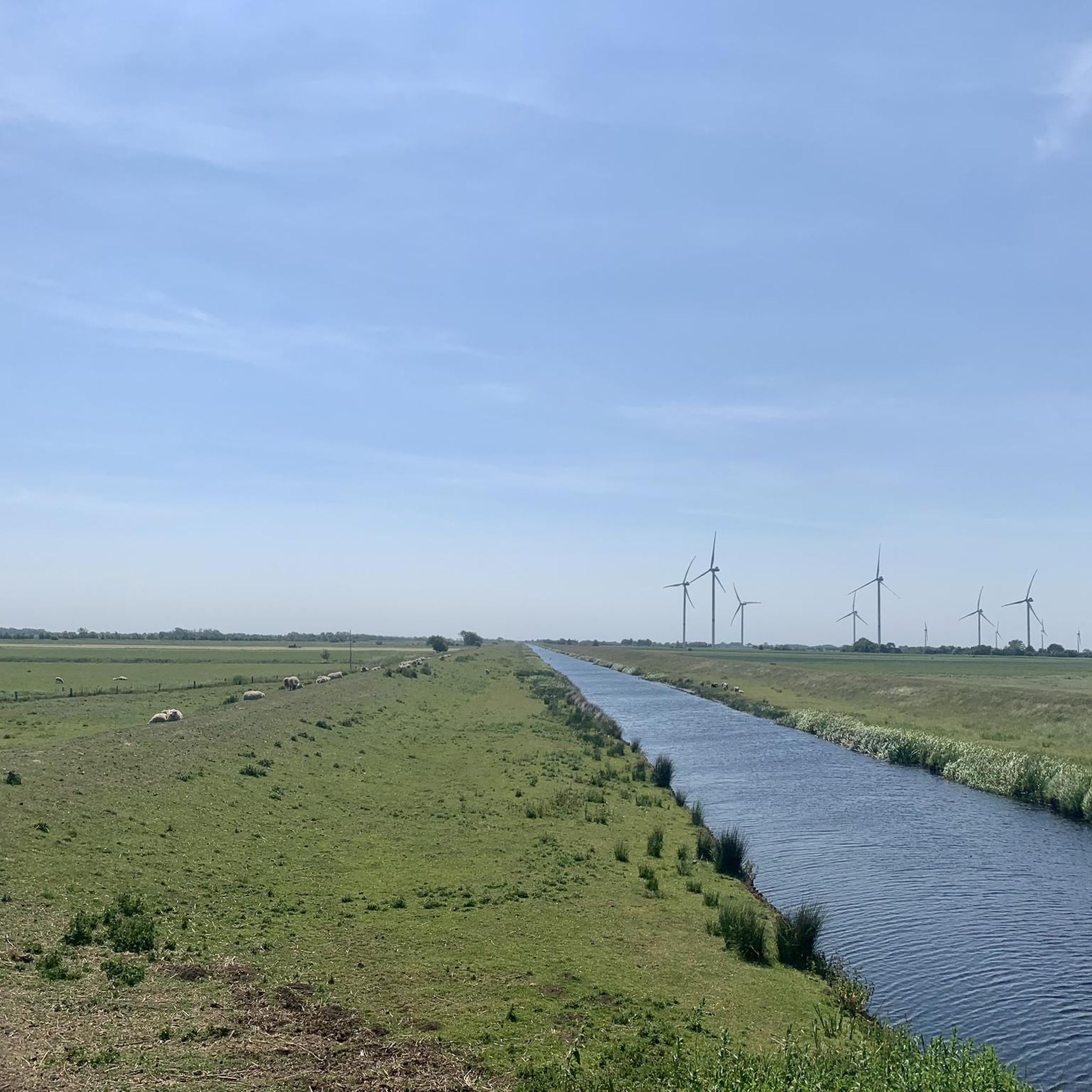
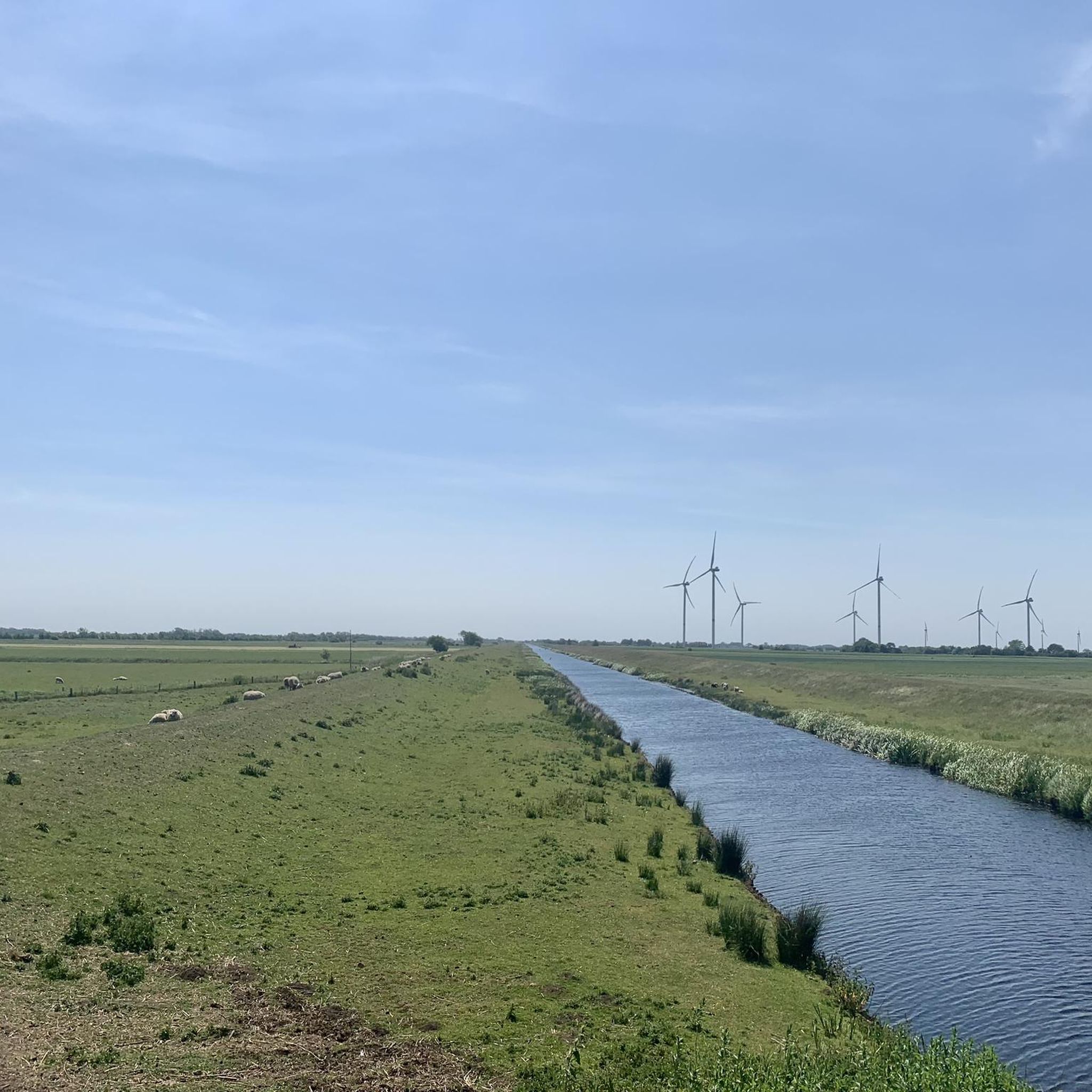
Hiking around Stedesand offers diverse landscapes, from the coastal environment of the North Frisian Wadden Sea to tranquil inland forests and marshlands. The region is characterized by extensive dike systems and "Koogs" (reclaimed land), providing unique paths with expansive views. Trails also lead through wooded areas like the Langenberger Forst and along the Arlau River, showcasing varied natural features.
Best hiking trails around Stedesand
- The most popular hiking route is View of the Ochsenweg – Sandy Heathland Trail loop from…
Last updated: June 26, 2026
4.9
(42)
116
hikers
Moderate hike. Good fitness required. Easily-accessible paths. Suitable for all skill levels.
4.9
(16)
36
hikers
7.12km
01:51
40m
40m
Easy hike. Great for any fitness level. Easily-accessible paths. Suitable for all skill levels.

Sign up for free
4.9
(9)
50
hikers
7.28km
01:53
40m
40m
Easy hike. Great for any fitness level. Easily-accessible paths. Suitable for all skill levels.
5.0
(10)
32
hikers
4.34km
01:06
10m
10m
Easy hike. Great for any fitness level. Easily-accessible paths. Suitable for all skill levels.
4.5
(6)
15
hikers
10.6km
02:41
10m
10m
Moderate hike. Good fitness required. Easily-accessible paths. Suitable for all skill levels.
Get access to more routes and recommendations from other explorers.
Sign up for free
Already have an account?
Our route recommendations are based on thousands of hikes, rides, and runs completed by other people on komoot.
Start today with a free account
Your next adventure awaits.
Login or Signup
Tips from the Community

beautiful small park with great flowerbeds. The benches invite you to linger.
0
0


Very nice place to take a little break.
1
0
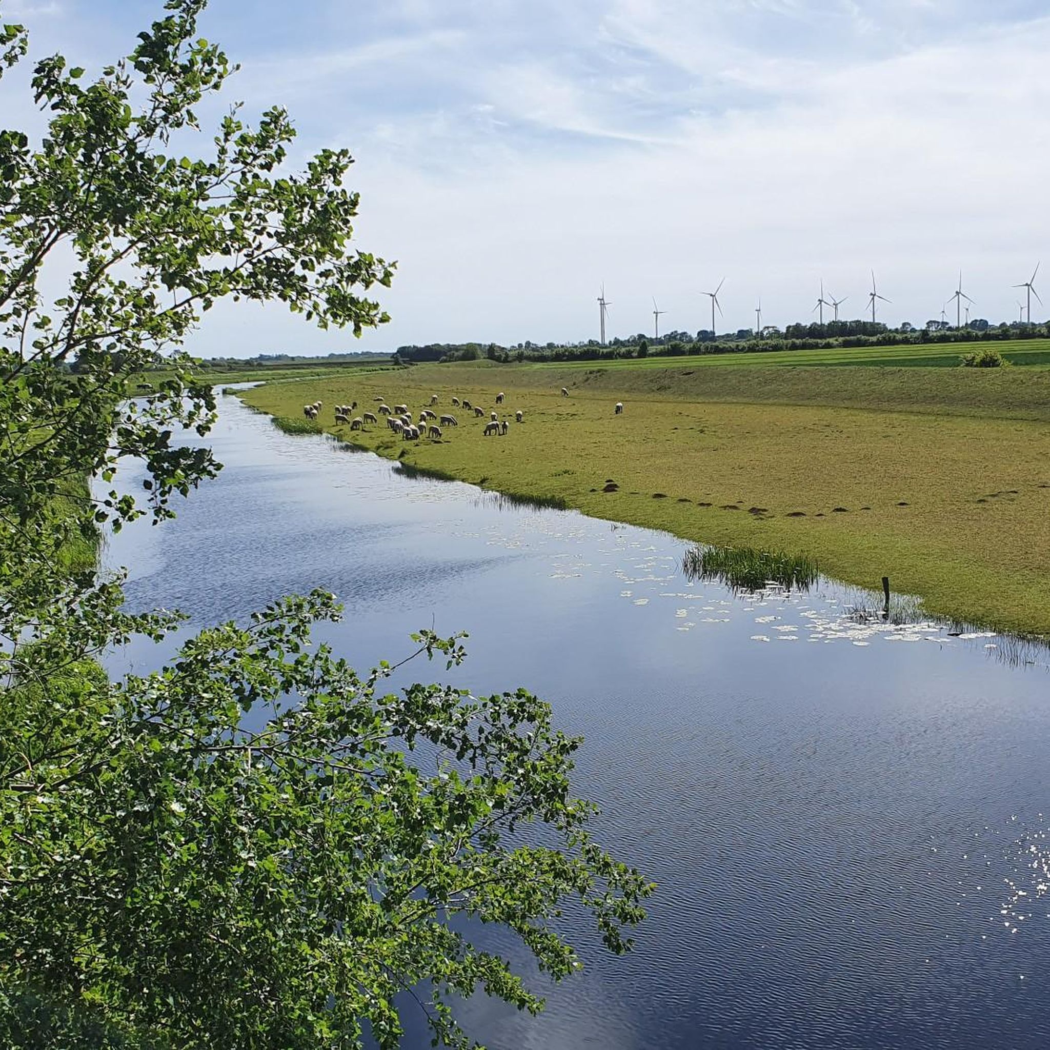
Very beautiful, but unfortunately without water lilies
0
0
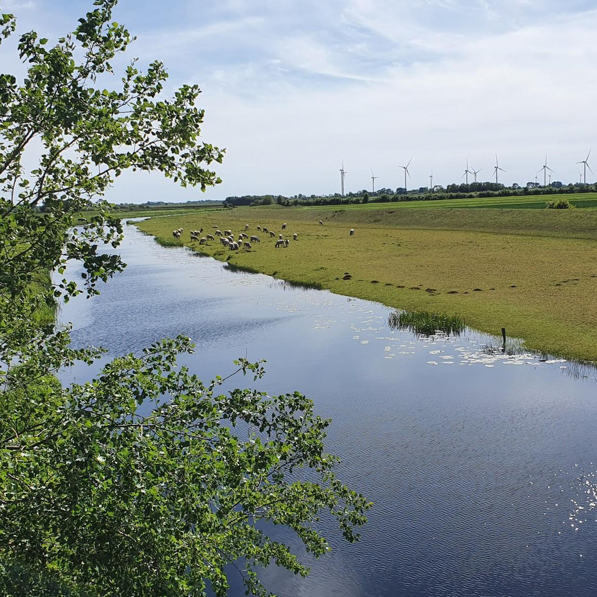
Very beautiful, but unfortunately without water lilies.
0
0

Invites you to linger in the middle of a small pond
0
0
Frequently Asked Questions
What kind of hiking experiences can I expect around Stedesand?
Hiking around Stedesand offers a diverse range of landscapes. You can explore the unique coastal environment of the North Frisian Wadden Sea, walk along extensive dike systems and 'Koogs' (reclaimed land) with expansive views, or venture into tranquil inland forests like the Langenberger Forst and along the Arlau River. The region provides varied natural features for all types of hikers.
How many hiking trails are available in the Stedesand region?
The Stedesand region boasts a well-developed network of trails, with over 300 hiking routes available. These range from easy strolls to more challenging paths, ensuring options for various skill levels.
Are there easy hiking trails suitable for families or beginners?
Yes, Stedesand offers many easy trails perfect for families and beginners. For instance, the Sandy Heathland Trail – Forest Pond loop from Enge-Sande is an easy 4.4-mile (7.1 km) path leading through heathland and past a forest pond, offering a tranquil experience. Many of the 221 easy routes are suitable for a relaxed outing.
What are some notable natural features or landmarks to see while hiking?
While hiking around Stedesand, you can encounter several interesting natural features and landmarks. The North Frisian Wadden Sea itself is a UNESCO World Heritage site. You might also explore the unique reed-biotope near Schobüll or walk along the old dike of the Hattstedtermarsch with its many curves and 'Wehlen' (small bodies of water). For specific points of interest, consider visiting the Historic Ochsenweg Trail in Langenberger Forst or the Hauke-Haien-Koog Dike Cycle Path, which is also great for walking.
Are there any circular hiking routes in Stedesand?
Yes, many routes in Stedesand are designed as circular walks. An example is the Lecker Au Circular Trail – Kokkedahler Bridge loop from Stedesand, a moderate 10.6 km route. Other circular options include the View of the Ochsenweg – Barrow 36 loop from Enge-Sande, which is an easy 4.2 km trail.
What do other hikers say about the trails in Stedesand?
The hiking routes in Stedesand are highly regarded by the komoot community, holding an impressive average rating of 4.6 stars from over 700 reviews. Hikers often praise the diverse landscapes, from coastal views to tranquil forests, and the well-maintained paths that cater to various fitness levels.
Is Stedesand a good destination for dog-friendly hiking?
Yes, the Stedesand region generally welcomes dog walkers. Many trails, especially those along the dikes and through the Langenberger Forst, are suitable for hiking with dogs. It's always recommended to keep dogs on a leash, particularly in nature reserves and near livestock, to protect local wildlife and ensure a pleasant experience for everyone.
What is the best time of year to go hiking in Stedesand?
The spring to autumn season is generally recommended as the best time for outdoor activities like hiking in Stedesand. During these months, the weather conditions are more favorable, and the natural scenery is vibrant, offering the most enjoyable hiking experience.
Are there options for parking near the trailheads in Stedesand?
Yes, parking options are typically available near popular trailheads in the Stedesand region, especially for routes accessing areas like the Hauke-Haien-Koog and Langenberger Forst. Specific parking locations can often be found on detailed route descriptions or local signage.
Can I reach hiking trails in Stedesand using public transport?
The broader region around Niebüll, close to Stedesand, has a network of public transport that can help access various areas. While direct public transport to every trailhead might be limited, local bus routes often connect Stedesand village to nearby towns, from where some trailheads might be accessible. Planning ahead with local transport schedules is advisable.
Are there any places to eat or drink near the hiking routes?
While Stedesand is a smaller community, you can find cafes and pubs within the village itself. For routes closer to the coast, such as those near Hauke-Haien-Koog, there might be dining options in nearby coastal towns or harbors like Schlüttsiel. It's a good idea to check local listings for specific establishments along your chosen route.
What is the terrain like on trails such as the Historic Ochsenweg?
The terrain on trails like the Historic Ochsenweg Trail in Langenberger Forst offers a contrasting landscape with wooded trails. These paths typically involve forest floors, potentially some sandy sections, and generally gentle elevation changes, making them accessible for a moderate hike. The region's dikes offer flat, well-maintained paths.
Most popular attractions around Stedesand

Get inspired with the komoot mobile app


Explore more
Browse the best Hikes in other regions.
