The best road cycling routes around Montjovet
4.2
(191)
3,838
riders
69
rides
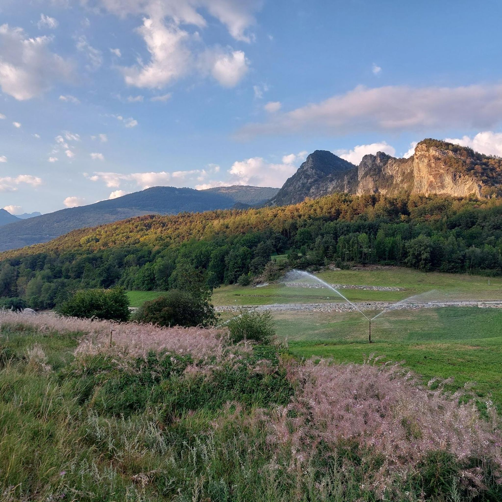
Road cycling around Montjovet is characterized by its mountainous terrain within the Aosta Valley, featuring significant elevation changes and scenic passes. The region offers a network of roads that wind through river valleys, ascend to high mountain cols, and provide views of the surrounding alpine landscape. Cyclists encounter varied gradients, from sustained climbs through terraced vineyards to descents past historic structures and dense forests. The area's geography is defined by its position in the Alps, with routes traversing natural features…
Last updated: July 6, 2026
4.9
(7)
194
riders
49.5km
03:23
1,690m
1,690m
Hard road ride. Very good fitness required. Mostly well-paved surfaces and easy to ride.
3.0
(3)
10
riders
21.5km
01:26
690m
690m
Moderate road ride. Good fitness required. Mostly well-paved surfaces and easy to ride.

Sign up for free
3.7
(24)
255
riders
52.6km
03:32
1,760m
1,760m
Hard road ride. Very good fitness required. Mostly well-paved surfaces and easy to ride.
4.5
(4)
291
riders
123km
06:42
2,410m
2,410m
Hard road ride. Very good fitness required. Mostly well-paved surfaces and easy to ride.
4.7
(3)
168
riders
48.8km
02:58
1,210m
1,210m
Hard road ride. Very good fitness required. Some segments of this route may be unpaved and difficult to ride.
Get access to more routes and recommendations from other explorers.
Sign up for free
Already have an account?
Our route recommendations are based on thousands of hikes, rides, and runs completed by other people on komoot.
Start today with a free account
Your next adventure awaits.
Login or Signup
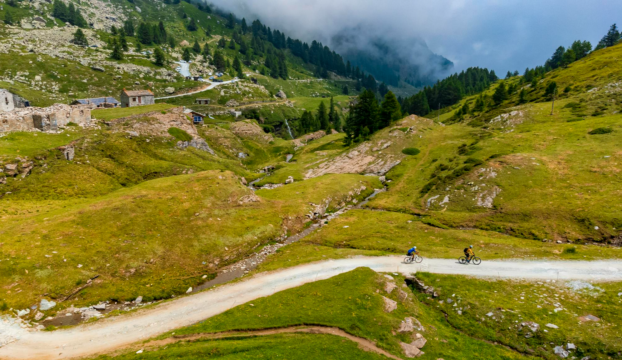
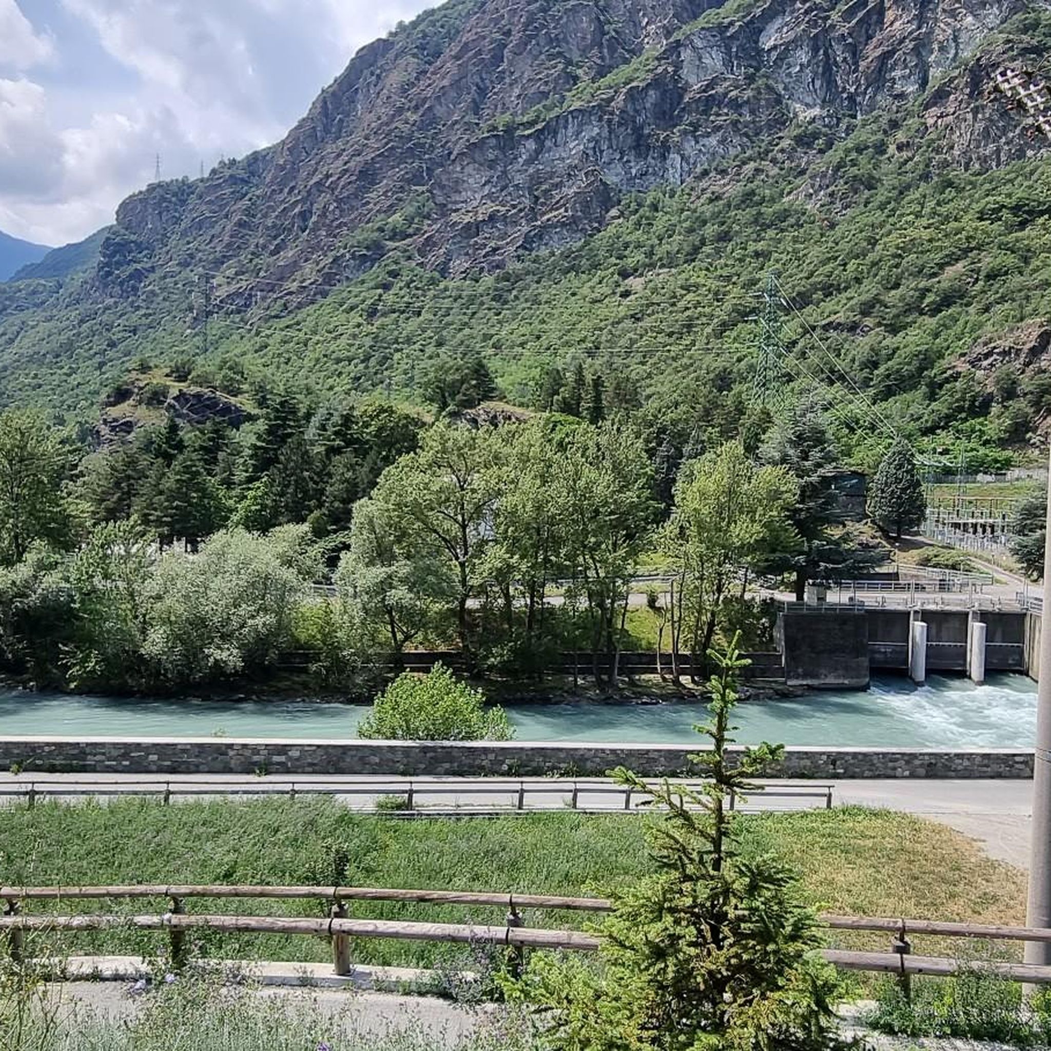
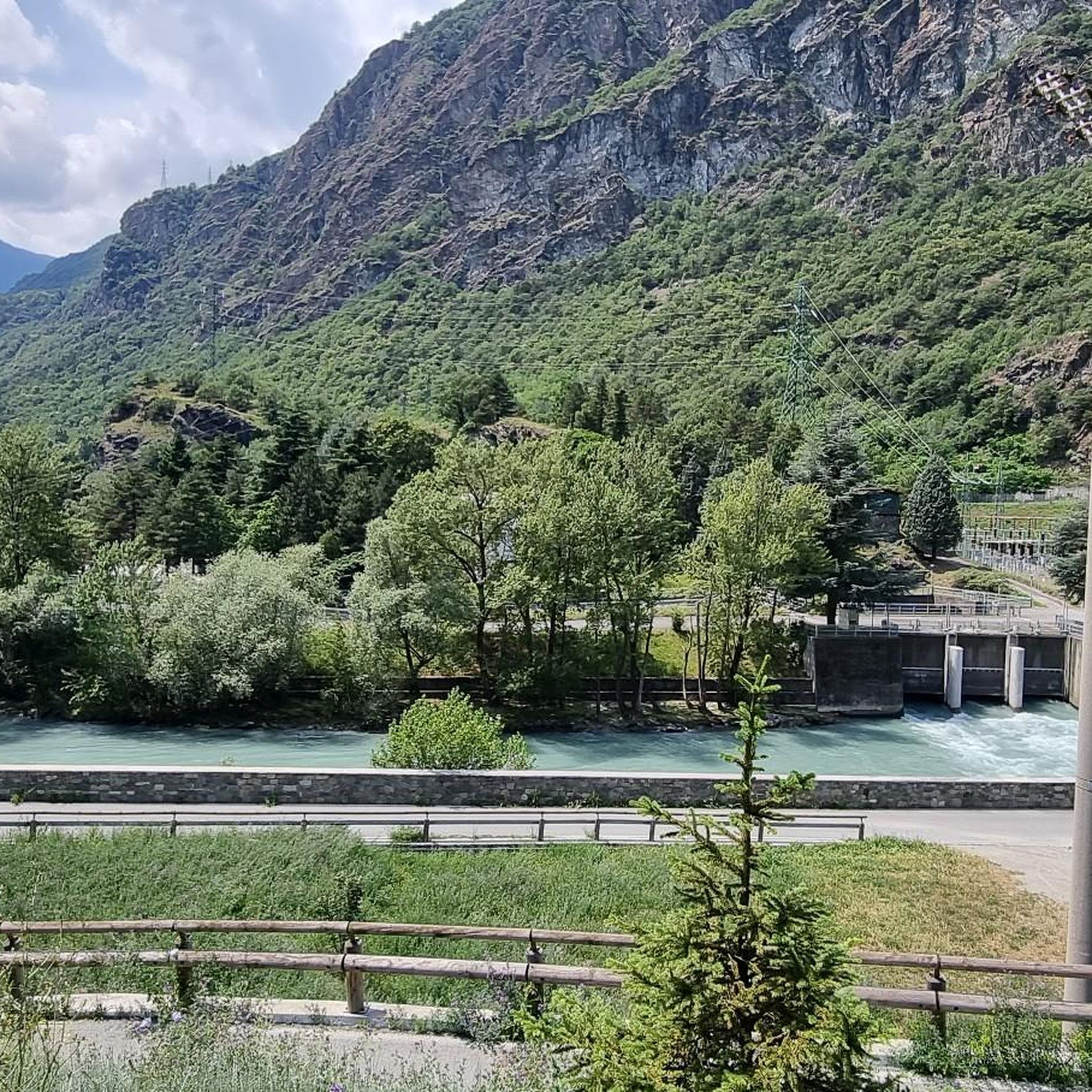

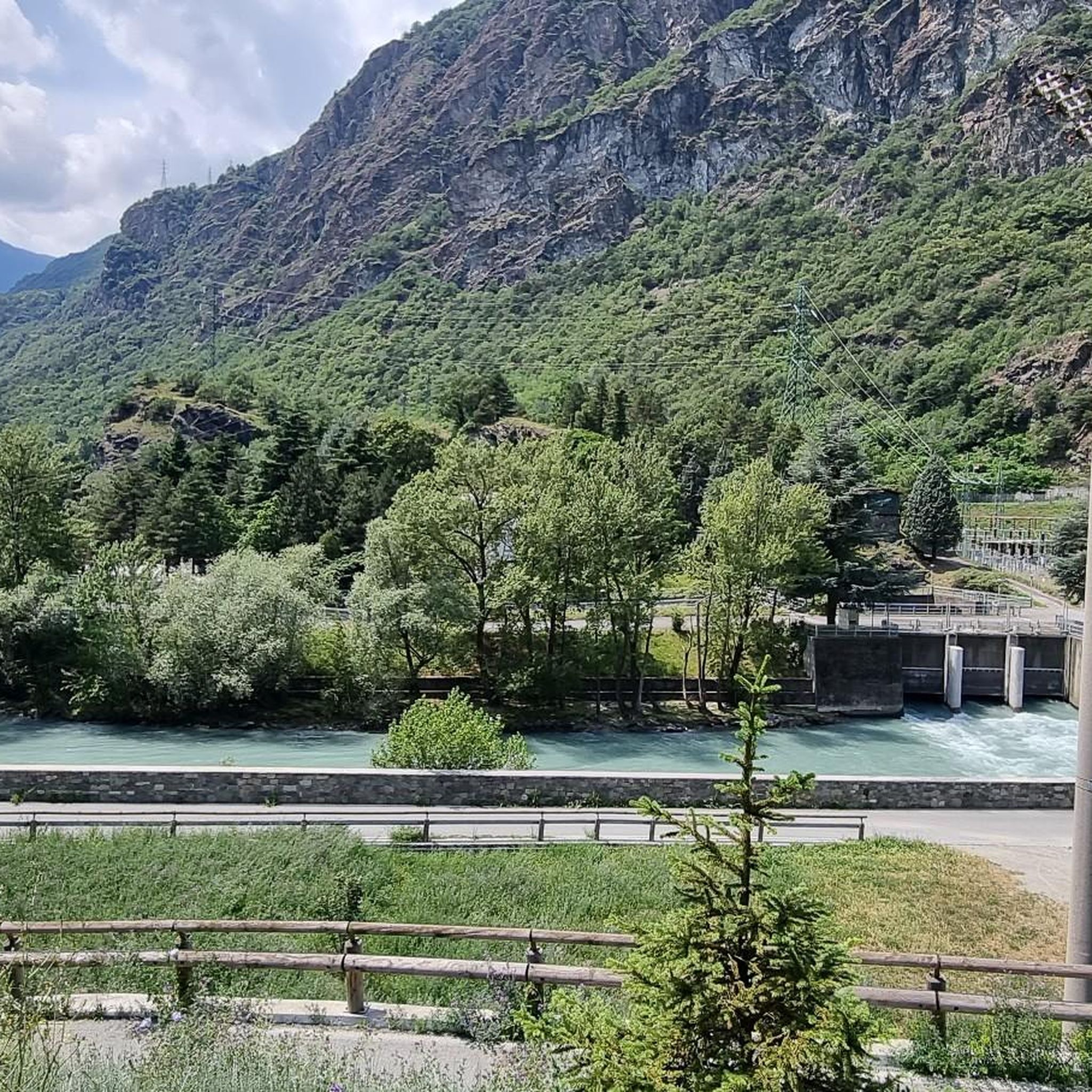

Other adventures around Montjovet

Tips from the Community

Mountain tour through woods and spectacular panoramas
0
0

A picturesque little village in the Grand Saint-Bernard valley, offering several trails.
0
0

Brusson is a renowned mountain resort, renowned for its tranquil atmosphere and Alpine landscapes. Its heart is the lake, an easily accessible body of water perfect for relaxing walks, picnics, and outdoor activities. In winter, the town becomes a hub for cross-country skiing.
1
0

Passing under the imposing covered viaduct that leads to the tunnel marks the beginning of the toughest part of the climb: the gradients become more demanding (though never prohibitive), the fatigue accumulated over the previous 20 km takes its toll, and the winds from Switzerland begin to lash you... you're officially in the high mountains, after all, that's why you came here. If the day is one of the worst, with strong winds from the pass, these last 10 km will be a nightmare, but the beauty and majesty of the landscape will more than make up for even the most intense of efforts.
1
0
The highest road pass in the Aosta Valley and a place that has always fascinated the writer for its thousand-year history, the austere Mauritian hospice and the profound beauty of the landscape.
0
0
This climb is something incredible: it doesn't have difficult gradients but it's long, very long, endless. You reach a point where you almost hate it: you've been cycling for well over an hour and still can't see the summit, you're running out of energy and the wind keeps whipping your face, you'd like to throw your bike away and say "Enough! I'm stopping here"... but it's only for a moment, because you're the one who chose to face it and you knew perfectly well what you were getting into; you set off again with more grit than before and tackle those last few km of road with all your remaining strength. And then you enter the tunnel, there you start to realize you've made it, you come out, follow the road that turns slightly to the left and, as if in a dream, the lake appears. You reach the top and think about how many people throughout the centuries have traveled this road: Salassi, Romans, monks, migrants, Napoleonic soldiers... you realize you are in a place where History is dense and nature is stunning, and there you can only love this hill
7
0

Hotel Italia is highly recommended
0
0

A green lung with benches in the middle of a hill
0
0
Frequently Asked Questions
How many road cycling routes are available in Montjovet?
Montjovet offers a wide selection of road cycling routes, with over 60 different tours to explore. These routes cater to various skill levels, from moderate loops to challenging long-distance ascents through the alpine landscape.
Are there road cycling routes suitable for beginners in Montjovet?
While Montjovet is known for its mountainous terrain, there are a few routes suitable for beginners. The region features varied gradients, so even moderate routes can include notable climbs. For an easier start, look for routes with less significant elevation changes.
What kind of challenges can experienced road cyclists expect in Montjovet?
Experienced road cyclists will find plenty of challenging routes in Montjovet, characterized by substantial ascents and high mountain passes. Routes like Col de Joux – Brusson loop from Challand-Saint-Anselme or Col de Joux Pass – View of Verrès Castle loop from Verrès offer significant elevation gains and long distances, traversing alpine valleys and forests.
What is the best time of year for road cycling in Montjovet?
The best time for road cycling in Montjovet is typically from late spring to early autumn (May to October). During these months, the weather is generally more stable, and the high mountain passes are clear of snow, offering optimal conditions for exploring the region's scenic routes.
Are there any scenic viewpoints or natural attractions along the road cycling routes?
Yes, many routes offer stunning views and pass by natural attractions. You might encounter highlights such as Lake Muffé, Lake Ville, or the impressive Arlaz Waterfall. The region is rich in alpine scenery, including river valleys and forested slopes.
What do other cyclists say about road cycling in Montjovet?
The road cycling routes in Montjovet are highly rated by the komoot community, with an average score of 4.26 stars from over 180 reviews. Cyclists often praise the challenging mountain passes, the diverse alpine scenery, and the well-maintained roads that wind through charming villages.
Can I find cafes or places to stop for refreshments along the routes?
Many road cycling routes in Montjovet pass through small villages and towns where you can find cafes, restaurants, and shops to refuel and rest. It's always a good idea to check the route details beforehand to plan your stops, especially on longer or more remote sections.
What are the typical distances and elevation gains for road cycling routes in Montjovet?
Road cycling routes in Montjovet vary significantly. You can find moderate loops like the Col d'Arlaz Loop, which is about 13.3 miles (21.5 km) with around 690 meters of elevation gain. More challenging routes, such as the Col de Joux Pass – Ascent to Antagnod from Corbet loop from Amay, can be over 34.9 miles (56.2 km) with more than 1500 meters of climbing.
Are there any specific mountain passes that are popular among road cyclists in Montjovet?
Absolutely. Montjovet is situated in the Aosta Valley, making it a prime location for tackling iconic mountain passes. The Col de Joux is a particularly popular destination, known for its challenging ascents and rewarding views. Other notable climbs include the Ascent to Col Tzecore from Challand.
How can I find routes with GPX tracks for navigation?
All routes available on komoot, including those around Montjovet, come with downloadable GPX tracks. Once you select a route, you can easily export the GPX file to use with your GPS device or smartphone for navigation.
Are there any notable landmarks or historical sites I might see while cycling?
Yes, the region is dotted with historical structures and landmarks. For instance, the Beautiful section of cycle path – Fénis Castle loop from Saint-Vincent route allows you to cycle past the impressive Fénis Castle. You might also spot the Virgin Mary statue on Monte Zerbion from certain viewpoints.
Are there any circular road cycling routes around Montjovet?
Many of the road cycling routes in Montjovet are designed as circular loops, allowing you to start and finish at the same point. Examples include the Col d'Arlaz Loop and the various Col de Joux loops, which are popular for their scenic beauty and challenging climbs.
Is parking readily available near the starting points of routes?
In Montjovet and the surrounding villages, you can typically find public parking areas. For specific routes, it's advisable to check the starting point on komoot or a map application to identify the most convenient parking options available.
Most popular routes around Montjovet
Most popular attractions around Montjovet

Get inspired with the komoot mobile app


Explore more
Browse the best Road cycling routes in other regions.
