The best mountain hikes around Challand-Saint-Anselme
4.5
(2)
29
hikers
3
hikes
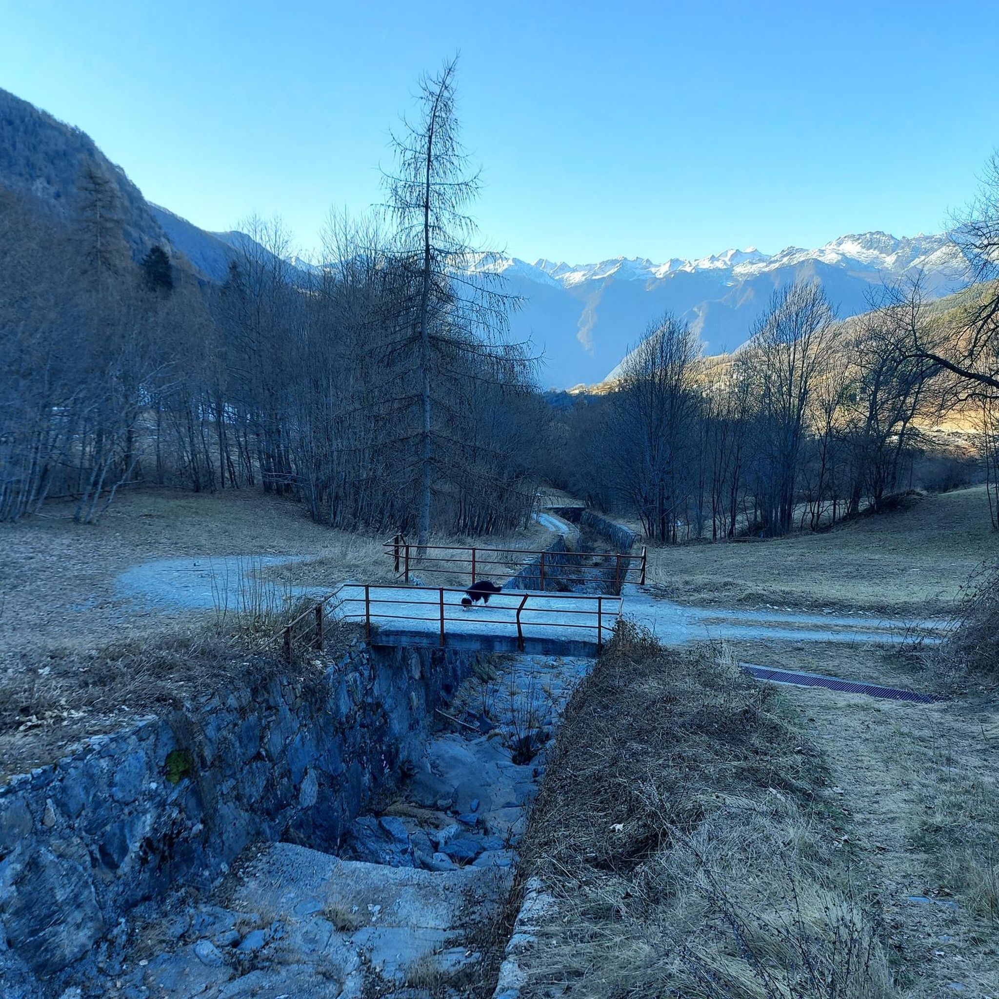
Mountaineering routes around Challand-Saint-Anselme are situated in the Val d'Ayas, characterized by a blend of deciduous and coniferous forests, lush pastures, and rugged terrain at higher altitudes. The region is surrounded by impressive peaks, including Monte Zerbion and Corno Bussola, offering diverse opportunities for high-altitude exploration. Water features like the Arlaz stream and various lakes are also prominent throughout the landscape. This area provides a dense network of routes, appealing to those seeking challenging ascents and panoramic views.
Best mountaineering routes around Challand-Saint-Anselme
- The most popular mountaineering route is View of the Lakes – Corno Bussòla loop from Praitou, a 10.7 miles (17.2 km) trail that takes 7 hours 45 minutes to complete. This difficult route offers extensive views of high peaks and alpine lakes.
- Another top favourite among local mountaineers is View of Monte Rosa loop from Antagnod, a difficult 5.7 miles (9.1 km) path. This route provides clear views of the majestic Monte Rosa massif and surrounding high-altitude landscapes.
- Local mountaineers also love the Cresta Carisey loop from Fontainemore, a 7.2 miles (11.6 km) trail leading through rugged mountain crests, often completed in about 6 hours 43 minutes.
- Mountaineering around Challand-Saint-Anselme is defined by high peaks, diverse forest trails, and glacial views, offering a range of options for experienced mountaineers.
- The routes in Challand-Saint-Anselme are highly rated by the komoot community with an average score of 4.8 stars from more than 5 reviews. More than 40 mountaineers have used komoot to explore Challand-Saint-Anselme's varied terrain.
Last updated: July 4, 2026
4.5
(2)
13
hikers
17.3km
07:47
1,130m
1,130m
Hard mountaineering route. Very good fitness required. Sure-footedness, sturdy shoes and alpine experience required.
9
hikers
11.7km
06:44
1,070m
1,070m
Hard mountaineering route. Very good fitness required. Sure-footedness, sturdy shoes and alpine experience required.

Sign up for free
4
hikers
15.8km
07:54
1,270m
1,270m
Hard mountaineering route. Very good fitness required. Sure-footedness, sturdy shoes and alpine experience required.
3
hikers
12.1km
06:36
1,220m
1,220m
Hard mountaineering route. Very good fitness required. Sure-footedness, sturdy shoes and alpine experience required.
Our route recommendations are based on thousands of hikes, rides, and runs completed by other people on komoot.
Start today with a free account
Your next adventure awaits.
Login or Signup

Tips from the Community

Loop tour starting from Estoul. Punta Palasinaz is the highest and most panoramic point with a 360° view of the peaks and the lakes below. (Difficulty E -- for the ridge EE)Stop and relax at the Arp refuge before the ascent or on the return of the loop from Punta Palasinaz
1
0

Refuge located on the Valdobbia pass, on the border between Piedmont and Aosta Valley, and it is possible to reach it from the Lys valley or from Valsesia, via hiking trails. It is the highest hospice in Europe at 2480 meters above sea level, and it offered hospitality to merchants, wayfarers, and pilgrims who passed through here.
0
0

Last section of the climb to Ospizio Sottile from trail 11 Gressoney
0
0


nice big rest area with benches, playground & restaurant, which was always closed during my time here
0
0

Splendid tour, challenging but spectacular for the view and places
0
0

I recommend going a little further from the refuge to reach the Palasina lakes passing through this little lake.
0
0
Frequently Asked Questions
What kind of terrain can I expect on mountaineering routes in Challand-Saint-Anselme?
Mountaineering routes in Challand-Saint-Anselme traverse a varied landscape. You'll find a mix of deciduous and coniferous forests, lush pastures, and rugged terrain at higher altitudes. The area is characterized by impressive peaks like Monte Zerbion and Corno Bussola, offering diverse opportunities for high-altitude exploration and panoramic views.
Are there any circular mountaineering routes available?
Yes, several mountaineering routes in the area are circular. For instance, the View of the Lakes – Corno Bussòla loop from Praitou is a challenging 17.2 km route that offers extensive views of high peaks and alpine lakes. Another option is the View of Monte Rosa loop from Antagnod, a 9.1 km path providing clear views of the majestic Monte Rosa massif.
What are the difficulty levels of mountaineering routes in Challand-Saint-Anselme?
The mountaineering routes around Challand-Saint-Anselme are generally considered difficult. They require good physical condition, sturdy shoes, and often alpine experience due to rugged mountain crests and significant elevation gains. For example, the Cresta Carisey loop from Fontainemore involves navigating challenging mountain crests.
Can I see waterfalls or lakes on these routes?
Yes, the region features several beautiful water features. The Arlaz waterfall is a significant natural attraction, and you can find easily accessible bodies of water like Lake Ville. Routes such as the Lago della Serva – Lago di Leser loop from Covarey will take you past alpine lakes, offering serene views.
What kind of views can I expect on mountaineering routes here?
Mountaineering in Challand-Saint-Anselme offers breathtaking panoramic views. Many routes provide extensive vistas of high peaks and alpine lakes, including distant glimpses of the Cottian Alps. The summit of Testa di Comagna offers a 360-degree view, and routes like the View of Monte Rosa loop from Antagnod provide clear views of the majestic Monte Rosa massif.
Are there any historical or cultural points of interest along the routes?
Beyond natural beauty, the area offers cultural and historical sites. You might encounter the Ruvère Mill, the Sanctuary of Saint Anne, or the Bechaz mine, an ancient gold mine with informative signs. The Castello di Graines, a medieval castle, is also accessible via hiking routes and offers views of Brusson and Val d'Ayas.
What do other mountaineers say about the routes in Challand-Saint-Anselme?
The mountaineering routes in Challand-Saint-Anselme are highly regarded by the komoot community, with an average score of 4.8 stars from more than 5 reviews. Mountaineers often praise the diverse forest trails, high peaks, and glacial views, highlighting the challenging yet rewarding nature of the ascents.
What is the best time of year for mountaineering in this region?
The best time for mountaineering in Challand-Saint-Anselme is typically during the warmer months, from late spring to early autumn, when trails are clear of snow and weather conditions are more stable. This allows for safe access to higher altitudes and better enjoyment of the panoramic views.
Are there any routes that offer views of Monte Rosa?
Yes, the region is known for its proximity to the Monte Rosa massif. The View of Monte Rosa loop from Antagnod is specifically highlighted for providing clear views of this majestic mountain and the surrounding high-altitude landscapes.
What kind of natural features can I expect to see besides mountains?
In addition to the impressive peaks, the municipal territory features diverse natural elements. You'll find extensive deciduous and coniferous forests, lush pastures, and meadows. These woodlands, particularly rich in chestnut and walnut trees, provide scenic sections for routes and a varied environment for exploration.
Most popular routes around Challand-Saint-Anselme
Most popular attractions around Challand-Saint-Anselme

Get inspired with the komoot mobile app


Explore more
Browse the best Mountain Hikes & Routes in other regions.
