The best running trails around Saint-Oyen
4.0
(24)
2,173
runners
52
runs
Jogging routes around Saint-Oyen are characterized by the diverse and challenging mountainous terrain of Italy's Aosta Valley. The region offers a variety of running paths, from accessible trails with moderate inclines to rigorous alpine routes. Natural features include high mountain passes like the Great St. Bernard Pass and the recreational areas of the Flassin Valley, providing varied backdrops for running. This landscape is defined by pastures, sparse forests, and high-altitude areas, offering a range of experiences for runners.
Best jogging routes around Saint-Oyen
- The most popular jogging route is Col de Champillon loop from Saint-Oyen, an 18.9 miles (30.4 km) trail that takes about 5 hours 16 minutes to complete. This challenging route features significant elevation gain through alpine landscapes.
- Another top favourite among local runners is Running loop from Saint-Rhémy-en-Bosses, a difficult 9.4 miles (15.1 km) path. This route offers substantial climbs and panoramic views typical of the Aosta Valley.
- Local runners also love the Rifugio Chaligne loop from Étroubles, a 12.7 miles (20.4 km) trail leading through mountainous terrain towards the Chaligne Hut, often completed in about 2 hours 55 minutes.
- Jogging around Saint-Oyen is defined by mountainous terrain, high-altitude passes, and diverse trail networks. The region offers options for various ability levels, including easy, moderate, and difficult running routes.
- The routes in Saint-Oyen are highly rated by the komoot community with an average score of 3.7 stars from more than 20 reviews. More than 2000 runners have used komoot to explore Saint-Oyen's varied terrain.
Last updated: October 8, 2026
48
runners
30.4km
05:16
1,790m
1,790m
Hard run. Very good fitness required. Sure-footedness, sturdy shoes and alpine experience required.
10
runners
18.1km
02:57
1,060m
1,060m
Hard run. Very good fitness required. Sure-footedness, sturdy shoes and alpine experience required.

11
runners
10.7km
01:13
180m
180m
Hard run. Good fitness required. Sure-footedness, sturdy shoes and alpine experience required.
13
runners
25.2km
04:04
1,320m
1,320m
Hard run. Very good fitness required. Sure-footedness, sturdy shoes and alpine experience required.
9
runners
21.7km
03:01
990m
990m
Hard run. Very good fitness required. Mostly paved surfaces. Suitable for all skill levels.
Get access to more routes and recommendations from other explorers.
Already have an account?
Our route recommendations are based on thousands of hikes, rides, and runs completed by other people on komoot.
Start today with a free account
Your next adventure awaits.

Tips from the Community

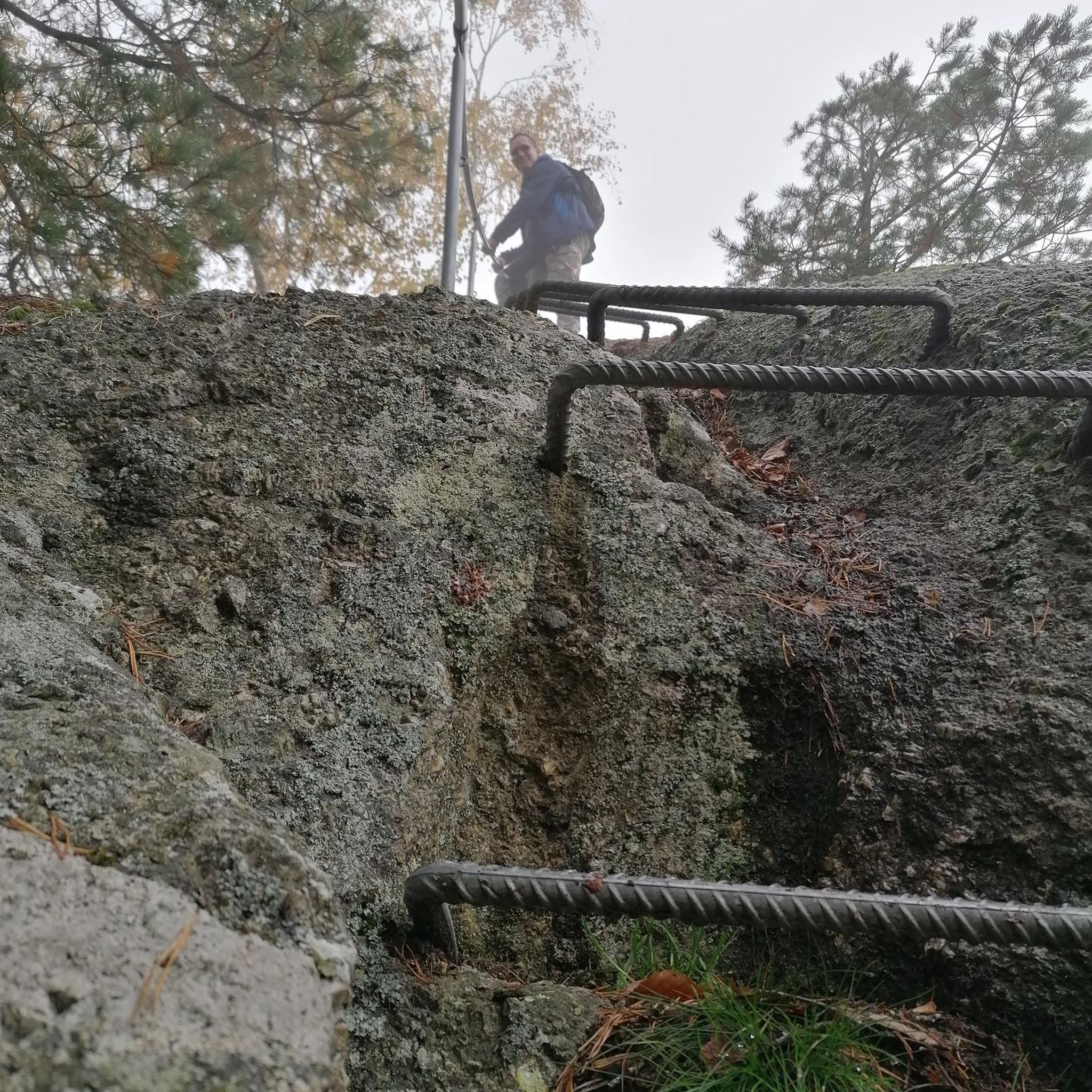
The Plan Puitz fortification is a cavern battery of the Cadorna Line, built between 1916 and 1917 to control the nearby border during World War I. Its firing positions and the tunnels dug into the mountain are still clearly recognisable today and transform the headland into a particularly evocative meeting point between alpine landscape and military history.
1
0

View of the valley and the winding access road to the pass, just after the tunnel that practically marks the end of the ascent from Aosta. A turn and the landscape suddenly opens up onto the lake
0
0

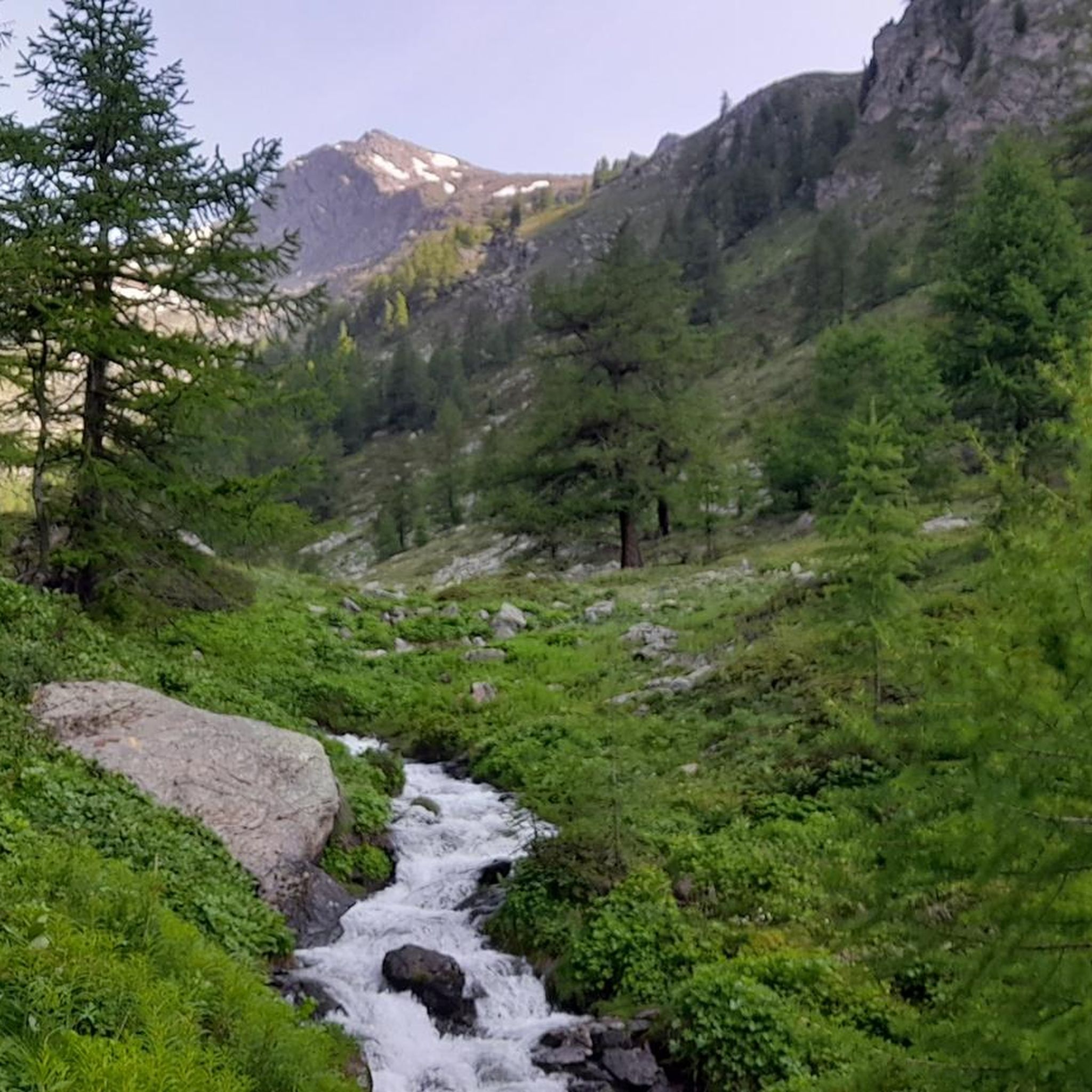
The crystal clear and very cool mountain water is channelled downhill for irrigation. An refreshing cool-down is ensured at any time.
0
0
The Tour du Mont Fallère is a charming circular hiking route that covers about 35 kilometers in the heart of the Aosta Valley, winding around the mountain of the same name amidst panoramic peaks, forests, and alpine pastures. Designed to be completed in two or three stages on foot or by mountain bike, the trail passes through several high-altitude structures in the area, including the historic Rifugio Chaligne and the Rifugio Mont Fallère.
0
0

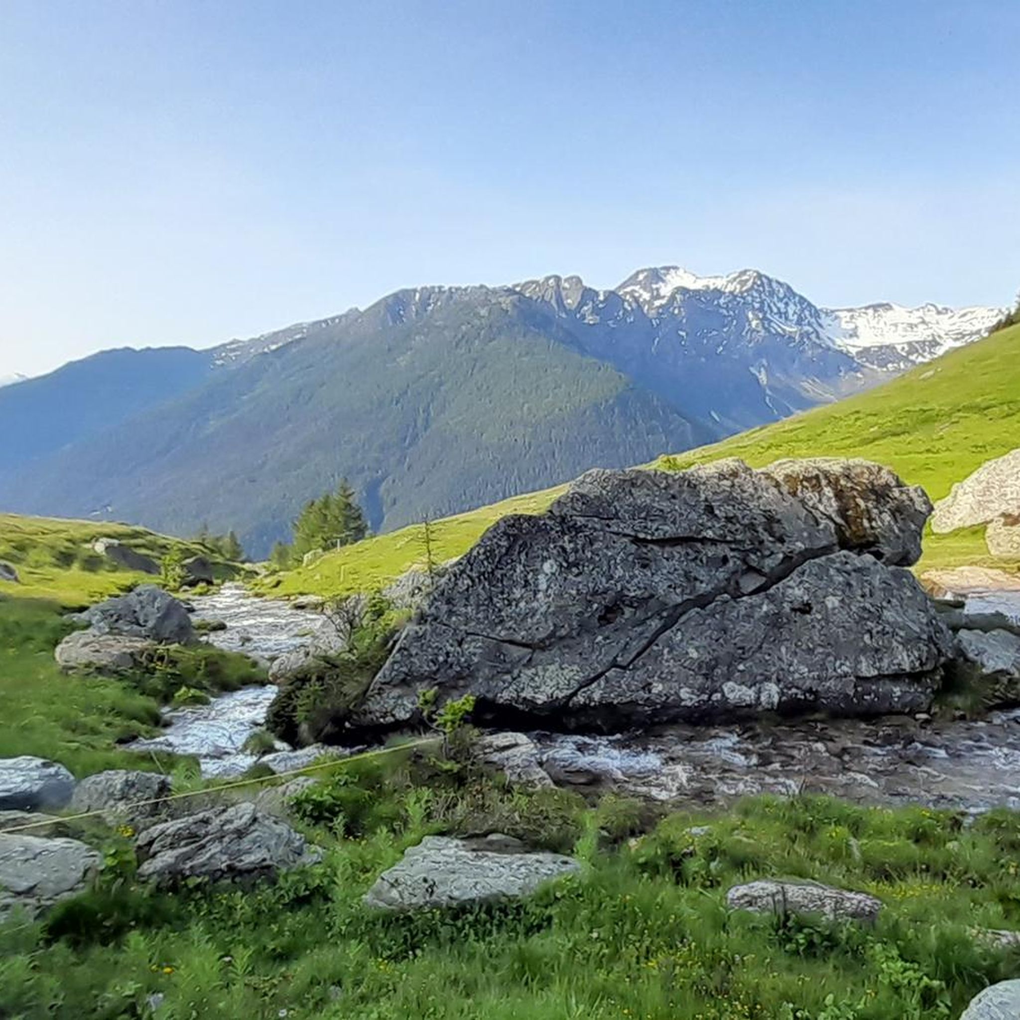
A picturesque little village in the Grand Saint-Bernard valley, offering several trails.
0
0

Alpe Ponteille, in the heart of the Mont Avic Natural Park, lies in a wide glacial basin among high-altitude pastures surrounded by spectacular serpentine rock formations and mountain pine forests. Don't miss the magnificent Ponteille waterfall, where the Chalamy stream makes a spectacular leap.
1
0

Very panoramic hill, reachable only with bike on your shoulder
0
0
Frequently Asked Questions
What types of running routes can I find around Saint-Oyen?
Saint-Oyen, located in Italy's Aosta Valley, offers a diverse range of running paths. You'll find everything from gentle paved surfaces and accessible trails with moderate inclines, suitable for beginners, to rigorous alpine routes demanding very good fitness and sure-footedness. The terrain includes pastures, sparse forests, and high-altitude areas, providing varied backdrops for your run.
Are there any easy or beginner-friendly jogging paths in Saint-Oyen?
Yes, while Saint-Oyen is known for its challenging mountainous terrain, there are options for beginners. The region offers gentle paved paths and trails with gentler inclines, typically up to 3 miles (5 km) with around 330 ft (100 m) of elevation gain. These routes provide a good introduction to running in the Aosta Valley without requiring extensive alpine experience.
What are some notable landmarks or natural features I might see while running near Saint-Oyen?
The region boasts stunning natural scenery and historical landmarks. You can explore areas near the historic Col du Grand Saint-Bernard, a significant mountain pass. Other highlights include the recreational areas of the Flassin Valley and various mountain huts like the Chaligne Hut, which offer breathtaking views and serve as excellent stopovers.
Are there any circular running routes available in the Saint-Oyen area?
Yes, many of the running routes around Saint-Oyen are designed as loops, allowing you to start and finish in the same location. For example, the challenging Running loop from Saint-Rhémy-en-Bosses offers substantial climbs and panoramic views, while the Rifugio Chaligne loop from Étroubles leads through mountainous terrain towards the Chaligne Hut.
What do other runners say about the trails around Saint-Oyen?
The running routes in Saint-Oyen are highly rated by the komoot community, with an average score of 3.7 stars from over 20 reviews. More than 2,000 runners have used komoot to explore the varied terrain, often praising the challenging yet rewarding alpine landscapes and the stunning views of the Aosta Valley.
Can I find running routes suitable for families in Saint-Oyen?
While many routes are challenging, Saint-Oyen does offer some paths that can be enjoyed by families, particularly those with older children or those seeking gentler terrain. Look for routes described as having mostly paved surfaces or gentler inclines, which are typically shorter and have less elevation gain. The Flassin Area, for instance, offers accessible paths that could be suitable for a family outing.
Are the running trails around Saint-Oyen dog-friendly?
Generally, the natural trails in the Aosta Valley are welcoming to dogs, but it's always advisable to keep your dog on a leash, especially in areas with livestock or wildlife. Ensure your dog is fit enough for the chosen route, particularly on longer or more challenging alpine trails like the Col de Champillon loop from Saint-Oyen, and carry enough water for both of you.
What is the best time of year to go running in Saint-Oyen?
The best time for running in Saint-Oyen largely depends on the altitude and your preferred conditions. Summer offers pleasant temperatures for high-altitude trails, though mist can occur. Spring and autumn provide cooler weather ideal for lower and mid-altitude routes. Winter running is possible, but higher alpine trails will be covered in snow and require appropriate gear and experience.
Are there options for parking at the trailheads in Saint-Oyen?
Yes, many trailheads in and around Saint-Oyen, especially those for popular routes, typically have designated parking areas. It's common to find parking available near villages or starting points for routes like those leading into the Comba di Flassin or towards the Great St. Bernard Pass. Always check local signage for any parking restrictions or fees.
How can I access the running routes around Saint-Oyen using public transport?
Public transport options, primarily buses, connect Saint-Oyen with other towns in the Aosta Valley. While some trailheads might be directly accessible by bus, for others, you might need to combine public transport with a short walk or taxi ride. It's recommended to check local bus schedules in advance, especially when planning to access more remote alpine starting points.
What is the longest challenging running route in the area?
For those seeking a significant challenge, the Col de Champillon loop from Saint-Oyen is a demanding option. This route spans approximately 18.9 miles (30.4 km) with over 5,800 ft (1,790 m) of elevation gain, typically taking around 5 hours and 16 minutes to complete. It traverses alpine landscapes and requires very good fitness and sure-footedness.
Are there any running routes that offer views of mountain peaks or high passes?
Absolutely. The region around Saint-Oyen is characterized by its stunning mountain peaks and high passes. Routes like the Col Citrin loop from Saint-Rhémy-en-Bosses will lead you through areas with panoramic vistas of the surrounding alpine environment, including views of prominent peaks and historic passes.
Most popular attractions around Saint-Oyen

Get inspired with the komoot mobile app


Explore more
Browse the best Running Trails & Routes in other regions.
