The best mountain hikes around Prettau - Predoi
4.8
(27)
299
hikers
12
hikes
Mountaineering around Prettau - Predoi is characterized by its high-alpine environment within the Zillertal Alps and the western Tauern Mountains. The region features peaks exceeding 3,000 meters, including glaciated areas within the Rieserferner-Ahrn Nature Park. Mountaineering routes often traverse high alpine forests, meadows, and lead to glacial meltwater lakes. This northernmost municipality in Italy offers challenging ascents and diverse terrain for experienced mountaineers.
Best mountaineering routes around Prettau - Predoi
- The most popular mountaineering route is Lenkjöchlhütte (2,603 m) –…
Last updated: September 27, 2026
5.0
(12)
111
hikers
16.7km
06:13
1,060m
1,060m
Hard mountaineering route. Very good fitness required. Mostly accessible paths. Sure-footedness required.
38
hikers
Hard mountaineering route. Very good fitness required. Sure-footedness, sturdy shoes and alpine experience required.

5.0
(1)
36
hikers
16.4km
07:00
1,000m
1,000m
Hard mountaineering route. Very good fitness required. Mostly accessible paths. Sure-footedness required.
5.0
(3)
23
hikers
Hard mountaineering route. Very good fitness required. Mostly accessible paths. Sure-footedness required.
4.8
(4)
23
hikers
10.4km
03:37
470m
470m
Moderate mountaineering route. Good fitness required. Mostly accessible paths. Sure-footedness required.
Get access to more routes and recommendations from other explorers.
Already have an account?
Our route recommendations are based on thousands of hikes, rides, and runs completed by other people on komoot.
Start today with a free account
Your next adventure awaits.
Popular around Prettau - Predoi
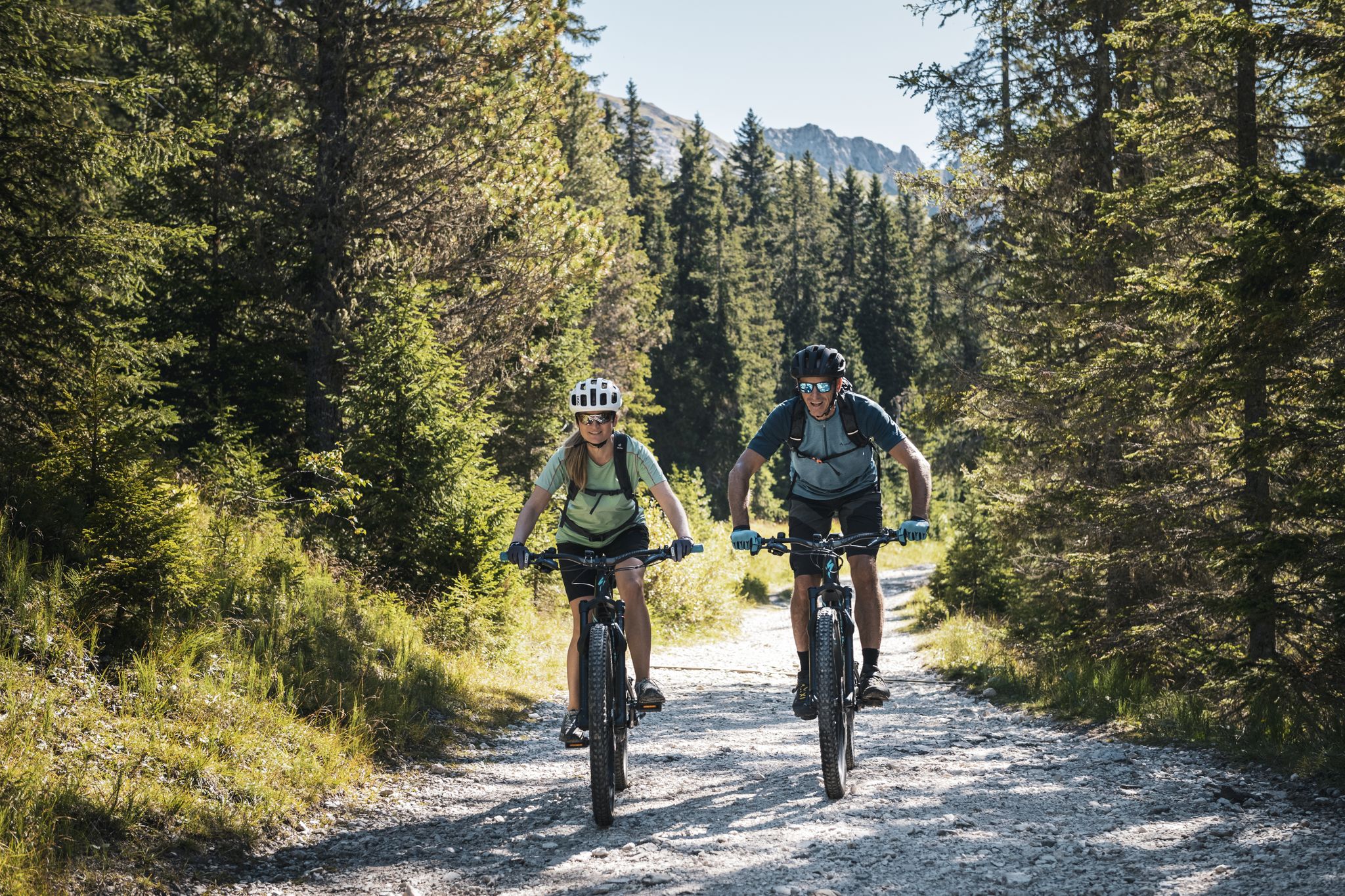
As yet undiscovered South Tyrol – secret MTB adventures
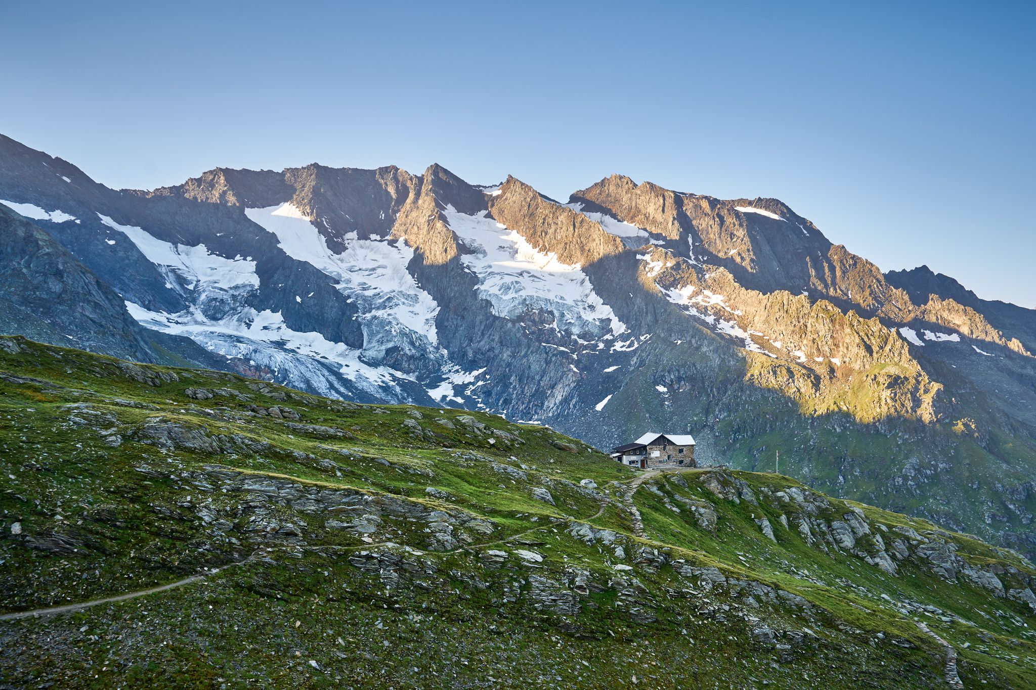
A superb hut-to-hut adventure over the main Alpine ridge – Dreiländertour
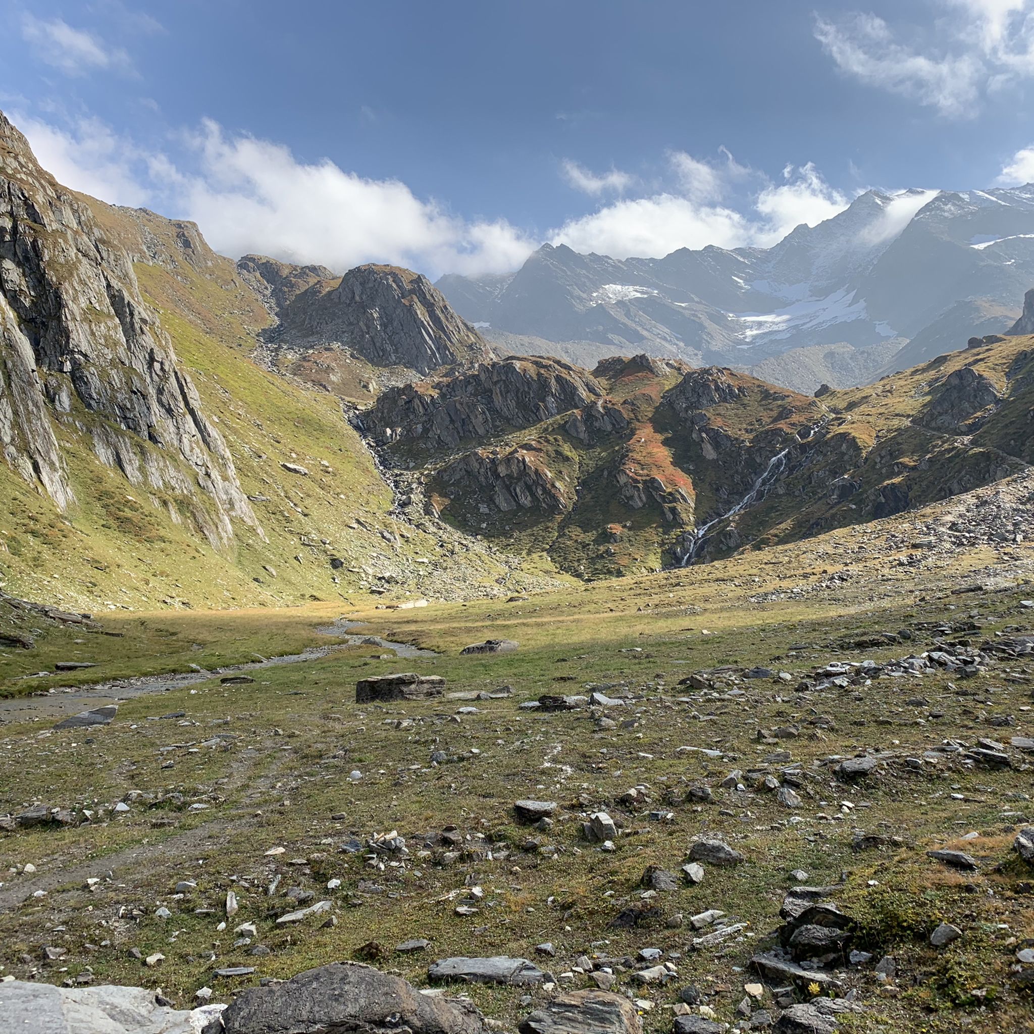
Hiking around Prettau - Predoi
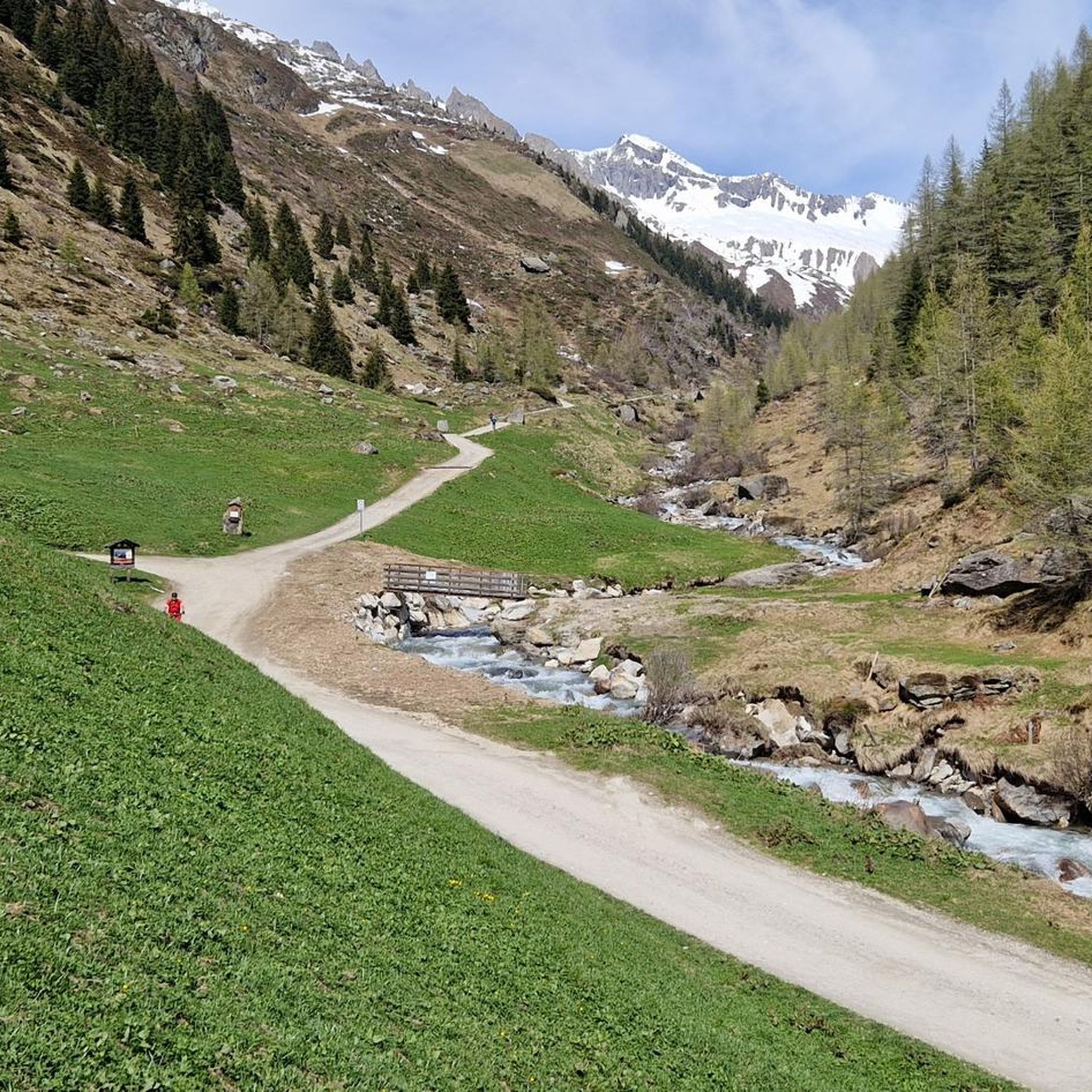
MTB Trails around Prettau - Predoi
Cycling around Prettau - Predoi
Running Trails around Prettau - Predoi

Road Cycling Routes around Prettau - Predoi


Tips from the Community

Not recommended with E-MTB due to the long pushing sections in difficult, steep, winding and blocked terrain (path) on the north side below Krimmler Tauern (pass)! Snowfields are difficult to pass with E-MTB on the uphill. The physics quickly show that the pushing-assist torque (due to weight distribution and obstacles on the path uphill) reaches the limits of tire friction, almost regardless of how knobby the tread is or how soft the rubber compound is. Because on loose ground, traction limits power transfer, not the motor. In addition, the low base speed with pushing assist means that obstacles uphill cannot be rolled over. Feasible with MTB. Mid-July to mid-September is the optimal time. Author's tip Weather must be good before and after the Tauern pass. On the pass on the Italian side, there is an open shelter with a bench. Bivy bag and thin down sleeping bag for emergencies. Possibility of emergency call via satellite phone is a prerequisite. If you actually want to go up from Krimmler Tauernhaus to the Tauern pass (Krimmler Tauern) with an MTB, you have to be prepared for long pushing and carrying sections. This requires extremely good fitness and the will to get there. On the other side down into the Ahrntal, there are only shorter pushing sections, but those with stones blocked paths (water channels) are not particularly pleasant to ride. After the Tauernalm, hairpin turns with lifting the rear wheel.
0
0
Not recommended with E-MTB!!! Due to the long pushing sections on difficult, steep, winding, and blocked terrain (path) north of Krimmler Tauern (pass), physics quickly shows that the pushing assistance torque (due to weight distribution and obstacles on the uphill path) reaches the limits of tire friction, almost regardless of how aggressive the tread is or how soft the rubber compound is. Because on loose ground, traction limits power transfer and not the motor. Furthermore, the low base speed with pushing assistance ensures that obstacles on the uphill cannot be rolled over.
0
0
The weather must be good before and after Tauernpass. On the pass on the Italian side, an open shelter with a bench. Bivy bag and a thin down sleeping bag for emergencies. Possibility of using a satellite emergency phone is a prerequisite. If you actually want to go up to the Tauernpass (Krimmler Tauern) with an MTB from the Krimmler Tauernhaus, you have to expect long pushing and carrying sections. This requires extremely good fitness and the will to get there. On the other side down into the Ahrntal valley, there are only shorter pushing sections, but the paths blocked by stones (water channels) are not particularly pleasant to ride. After the Tauernalm, hairpin bends require lifting the rear wheel.
0
0

is located on the ski run from Reinhartspitz
0
0
also in winter a fantastic landscape
0
0
beautiful high plateau before the ascents to the Ahrnerkopf
0
0
also open in winter and a MUST - stop after a ski tour
0
0
interesting transition from South Tyrol to North Tyrol and a great ski tour to the Schüttalkopf
0
0
Frequently Asked Questions
What kind of terrain can I expect on mountaineering routes around Prettau - Predoi?
Mountaineering in Prettau - Predoi involves a high-alpine environment, characterized by the impressive Zillertal Alps and the western Tauern Mountains. You'll traverse high alpine forests, expansive meadows, and encounter glacial meltwater lakes. The region is known for its challenging peaks, many exceeding 3,000 meters, and some routes include glaciated areas within the Rieserferner-Ahrn Nature Park.
How many mountaineering routes are available in Prettau - Predoi?
There are 14 mountaineering routes documented in Prettau - Predoi, offering a range of experiences for different skill levels. Five of these are considered moderate, while nine are classified as difficult, catering to experienced mountaineers.
Are there any circular mountaineering routes in the area?
Yes, many of the mountaineering routes in Prettau - Predoi are circular. For example, you can explore the Lenkjöchlhütte (2,603 m) – Röttal Valley loop, a challenging 16.7 km route, or the Lake Waldner – Wieser Werfa High Moor loop, which is 11.7 km long and also difficult.
What are some notable natural attractions or landmarks to see along the mountaineering trails?
As you ascend, you'll pass through high alpine forests and meadows like 'Pichlwiesn,' offering panoramic views of the inner Ahrntal valley. The region is also home to glacial meltwater features, including the Rio Aurino river and the beautiful Klaussee. You might also encounter impressive structures like the Zillergründl Reservoir Dam.
What do other mountaineers say about the routes in Prettau - Predoi?
The mountaineering routes in Prettau - Predoi are highly regarded by the komoot community, with an average rating of 4.9 stars from over 27 reviews. Mountaineers often praise the challenging ascents, the breathtaking high-alpine scenery, and the diverse terrain that makes each tour a unique experience.
Are there any less strenuous mountaineering options suitable for those with moderate experience?
While many routes are difficult, there are five moderate mountaineering options available. An example is the Church of the Holy Spirit – Talschlusshütte loop, a 10.1 km route with a manageable elevation gain of about 467 meters, offering a rewarding experience without the extreme demands of the most difficult trails.
What is the best time of year for mountaineering in Prettau - Predoi?
The best time for mountaineering typically depends on the specific route and conditions. Generally, the summer months offer the most favorable weather for high-alpine ascents. However, the region also offers winter activities like ski touring and snowshoeing, suggesting that with proper equipment and experience, mountaineering can be enjoyed across different seasons.
Are there any routes that offer views of specific peaks or mountain ranges?
Absolutely. The region is embedded within the Zillertal Alps and the western summits of the Tauern Mountains. Routes often provide breathtaking panoramic views of these majestic ranges. For instance, the Röttal Valley – Lenkjöchlhütte loop offers stunning vistas as you ascend towards the high-alpine hut.
Can I find mountain huts along the mountaineering routes for rest or overnight stays?
Yes, several routes lead to or pass by mountain huts. The Church of the Holy Spirit – Birnlückenhütte loop, for example, takes you towards the Birnlückenhütte. Other notable huts in the wider area include Zittauer Hut, Plauener Hut, and Clara Hut, which can serve as excellent bases or rest stops.
Is there public transport available to reach trailheads in Prettau - Predoi?
Prettau - Predoi is the northernmost municipality in Italy, and while specific public transport details for every trailhead are not provided, the region is generally accessible. It's advisable to check local bus schedules or regional transport options to plan your approach to the various starting points for mountaineering tours.
Are there any historical or cultural points of interest integrated with the mountaineering experience?
Yes, the area offers a unique blend of nature and culture. The 'High Altitude Path Prettau/Predoi' takes visitors past historical sites. The historical copper mine, now part of the South Tyrol Museum of Mining, and the associated Health Path, offer insights into the region's past. The Holy Spirit Church in Kasern, a former miners' church, is also a popular starting point for hikes to surrounding alpine pastures.
Most popular attractions around Prettau - Predoi

Get inspired with the komoot mobile app


Explore more
Browse the best Mountain Hikes & Routes in other regions.
