The best road cycling routes around Staudt
4.6
(239)
4,432
riders
233
rides
Road cycling routes around Staudt traverse the varied terrain of the Westerwald region, characterized by rolling hills, dense forests, and river valleys. The area features a mix of ascents and descents, offering diverse elevation profiles for road cyclists. Routes often follow country roads through agricultural landscapes and wooded sections, providing a range of road cycling experiences.
Best road cycling routes around Staudt
- The most popular road cycling route is Koblenz Palace – Rudi Geil Bridge loop from Montabaur, a 70.8…
Last updated: July 1, 2026
4.8
(6)
91
riders
56.0km
02:35
630m
630m
Moderate road ride. Good fitness required. Mostly well-paved surfaces and easy to ride.
4.3
(4)
77
riders
90.9km
04:25
1,250m
1,250m
Hard road ride. Very good fitness required. Some segments of this route may be unpaved and difficult to ride.

Sign up for free
5.0
(2)
58
riders
61.1km
03:12
710m
710m
Moderate road ride. Good fitness required. Mostly well-paved surfaces and easy to ride.
4.0
(1)
39
riders
53.3km
02:25
530m
530m
Moderate road ride. Good fitness required. Mostly well-paved surfaces and easy to ride.
4.2
(6)
32
riders
Moderate road ride. Good fitness required. Mostly well-paved surfaces and easy to ride.
Get access to more routes and recommendations from other explorers.
Sign up for free
Already have an account?
Our route recommendations are based on thousands of hikes, rides, and runs completed by other people on komoot.
Start today with a free account
Your next adventure awaits.
Login or Signup
Tips from the Community

A magnificent church building. The interior was also accessible for a short prayer service.
0
0
A beautiful historical ensemble. You can still easily imagine life in prehistoric times here.
0
0

Westerwald Cathedral; always worth a stop!
0
1

Westerwälder House of St. Bonifatius
1
0


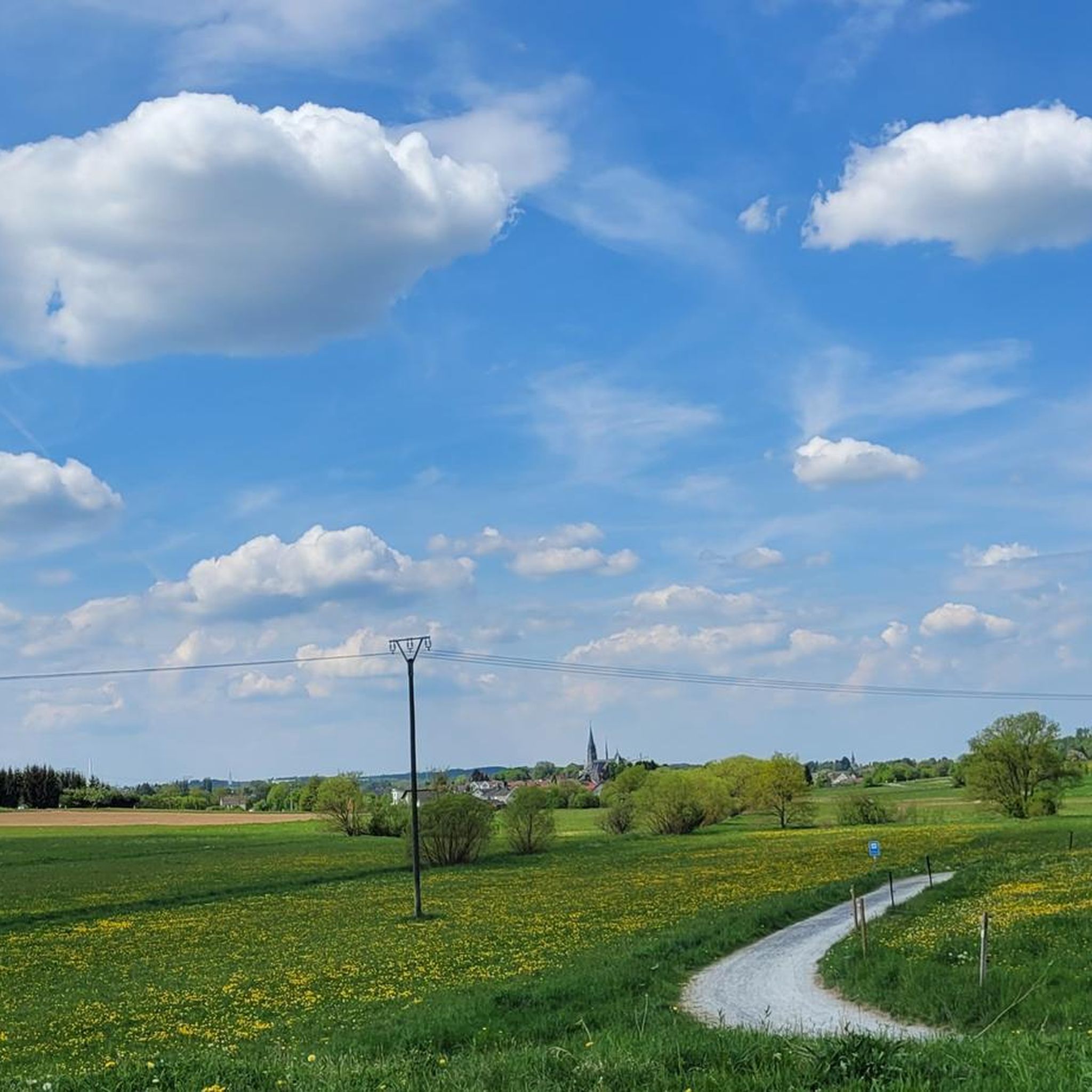
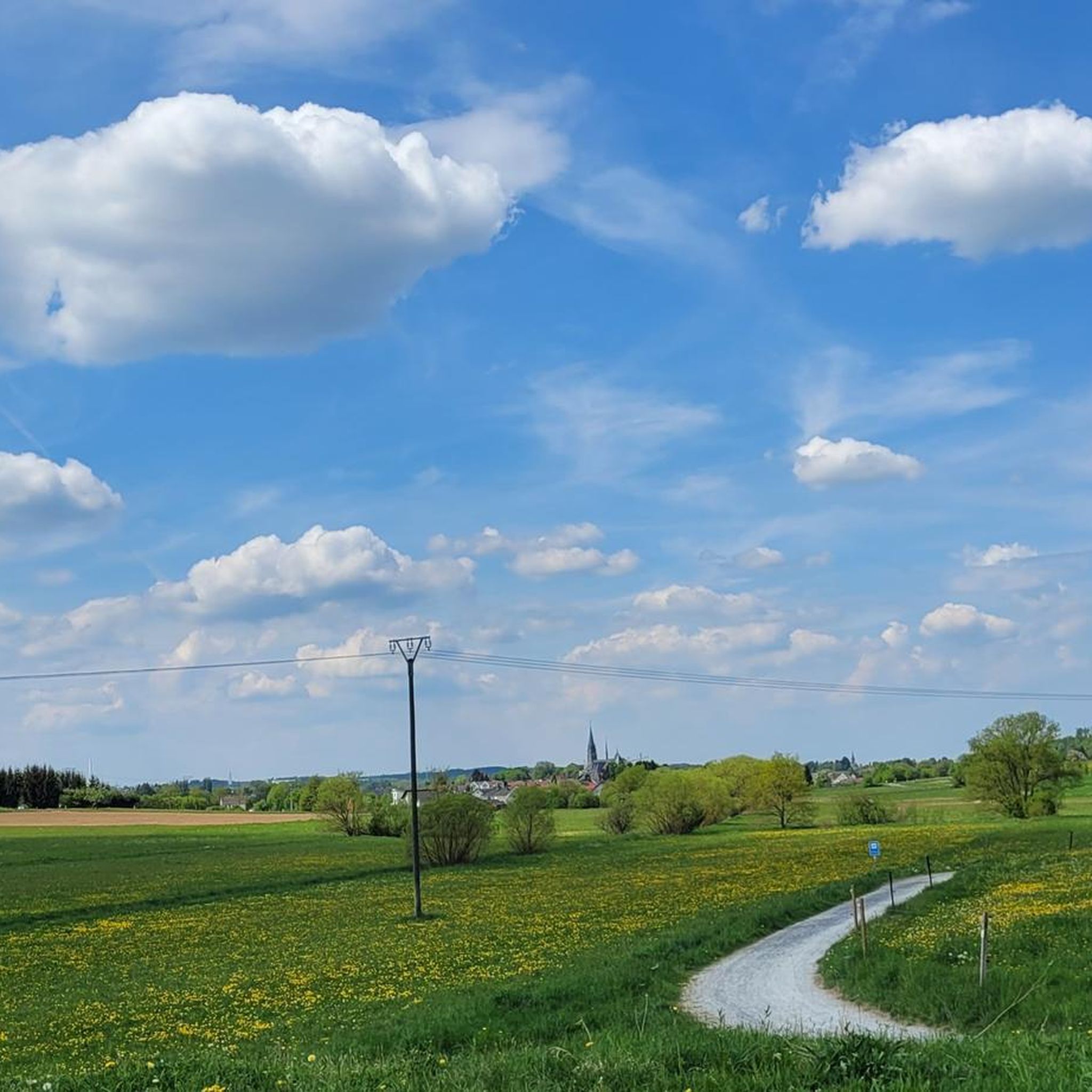
Great road, nice and quiet on a Whitsun Sunday, very idyllic
0
0

this place is wonderful
0
0

Cathedral town of Wirges, also great for playing table tennis I heard
1
2
Frequently Asked Questions
How many road cycling routes are available around Staudt?
There are over 240 road cycling routes around Staudt, offering a wide variety of experiences. These routes are highly rated by the komoot community, with an average score of 4.7 stars from over 160 reviews.
What kind of terrain can I expect when road cycling near Staudt?
Road cycling routes around Staudt traverse the varied terrain of the Westerwald region, characterized by rolling hills, dense forests, and river valleys. You'll encounter a mix of ascents and descents, with routes often following country roads through agricultural landscapes and wooded sections.
What are the difficulty levels of road cycling routes in Staudt?
The routes around Staudt cater to various skill levels. You'll find approximately 23 easy routes, 154 moderate routes, and 63 difficult routes, ensuring options for beginners to experienced cyclists.
Are there any challenging road cycling routes around Staudt?
Yes, for those seeking a challenge, routes like the Gelbachtal Valley – Ardeck Castle Ruins loop from Goldhausen offer significant elevation gains over 97 km. This route features over 1100 meters of ascent and descent, providing a demanding ride through scenic landscapes.
Can I find moderate road cycling routes in Staudt?
Absolutely. A popular moderate option is the Country road along the Gelbach – Gelbachtal Valley loop from Montabaur. This 60 km route includes around 870 meters of elevation change, making it a good choice for cyclists looking for a balanced challenge without extreme difficulty.
What landmarks or points of interest can I see along road cycling routes near Staudt?
Many routes offer scenic views and pass by interesting landmarks. You might encounter the Köppel Observation Tower, offering panoramic vistas, or the Alarmstange (545 m), the highest point of the Montabaurer Höhe. Some routes also feature the Reckenthal Sculpture Trail or pass by various lakes like Landshuber Pond.
Are there any circular road cycling routes around Staudt?
Yes, many of the road cycling routes around Staudt are designed as loops, allowing you to start and end at the same point. For example, the Koblenz Palace – Rudi Geil Bridge loop from Montabaur is a challenging 113 km circular route, while the Isenburg–Stromberg Climb – Westerwald Cycle Path loop from Montabaur offers a moderate 56 km loop.
What is the best time of year for road cycling in Staudt?
The Westerwald region, including Staudt, is generally pleasant for road cycling from spring through autumn. The warmer months offer lush scenery, though some ascents can be more demanding in direct sunlight. Spring and early autumn often provide comfortable temperatures and beautiful natural colors.
Are there places to eat or drink along the road cycling routes?
While specific cafes or pubs directly on every route are not guaranteed, the region has various villages and towns where you can find refreshments. For instance, the Country Inn Wirzenborner Liss is a highlight in the area, and many routes pass through or near communities with dining options.
Where can I park my car when starting a road cycling route in Staudt?
Many road cycling routes around Staudt start from towns like Montabaur or Goldhausen, which typically offer public parking facilities. It's advisable to check the specific starting point of your chosen route on komoot for detailed parking information, as options can vary.
Is public transport available to access road cycling routes in Staudt?
Access to road cycling routes via public transport in the Westerwald region can be limited, especially for bringing bicycles. Major towns like Montabaur have train stations, but local bus services might not always accommodate bikes. Planning your route to start from a location easily accessible by train or car is often the most practical approach.
What do other road cyclists enjoy most about road cycling in Staudt?
The area is highly rated by the komoot community, with an average score of 4.7 stars. Cyclists often praise the diverse terrain, from rolling hills to scenic river valleys, and the quiet country roads that allow for an immersive experience in the Westerwald's natural beauty.
Most popular attractions around Staudt

Get inspired with the komoot mobile app


Explore more
Browse the best Road cycling routes in other regions.
