The best walks and hikes around La Salle
4.4
(1183)
7,389
hikers
92
hikes
Hiking trails around La Salle are characterized by their alpine setting, featuring challenging ascents to mountain passes and high-altitude lakes. The region's terrain includes rugged mountain paths, forested sections, and open alpine meadows, shaped by significant elevation changes. This mountainous landscape offers diverse hiking experiences, from demanding climbs to scenic routes through valleys.
Best hiking trails around La Salle
- The most popular hiking route is Trail 21 to Liconi Lake from Morge, a 10.5 miles (16.9 km) trail that…
Last updated: October 13, 2026
4.7
(46)
358
hikers
16.9km
08:20
1,360m
1,360m
Embark on Trail 21 to Liconi Lake from Morge, a challenging hike that takes you through the diverse landscapes of the Aosta Valley. You will climb through wooded areas and…
4.7
(29)
138
hikers
10.3km
03:43
630m
630m
Hike 6.4 miles (10.3 km) from Planaval to Alpe Rantin via Route 7, gaining 2073 feet (632 metres) for stunning Monte Bianco views.

4.6
(14)
113
hikers
16.1km
08:10
1,330m
1,330m
Hard hike. Very good fitness required. Sure-footedness, sturdy shoes and alpine experience required.
4.7
(18)
87
hikers
8.23km
03:40
590m
590m
Embark on the Challancin - Col de Bard Loop, a difficult hike spanning 5.1 miles (8.2 km) with a significant elevation gain of 1929 feet (588 metres). This route will…
4.7
(11)
107
hikers
9.69km
05:09
880m
880m
Alpine pass hike through larch forests to Col Serena with sweeping Valdigne and Graian Alps views.
Get access to more routes and recommendations from other explorers.
Already have an account?
Our route recommendations are based on thousands of hikes, rides, and runs completed by other people on komoot.
Start today with a free account
Your next adventure awaits.
Popular around La Salle

Cammino Balteo – castles, vineyards and trails of the Aosta Valley
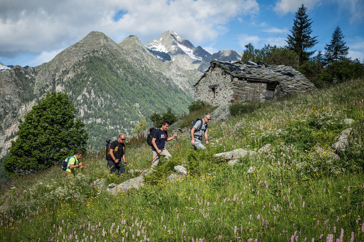
Hidden trails in the Aosta Valley – mountains you don't yet know

Paths, castles and views of Italy’s Aosta Valley – Cammino Balteo
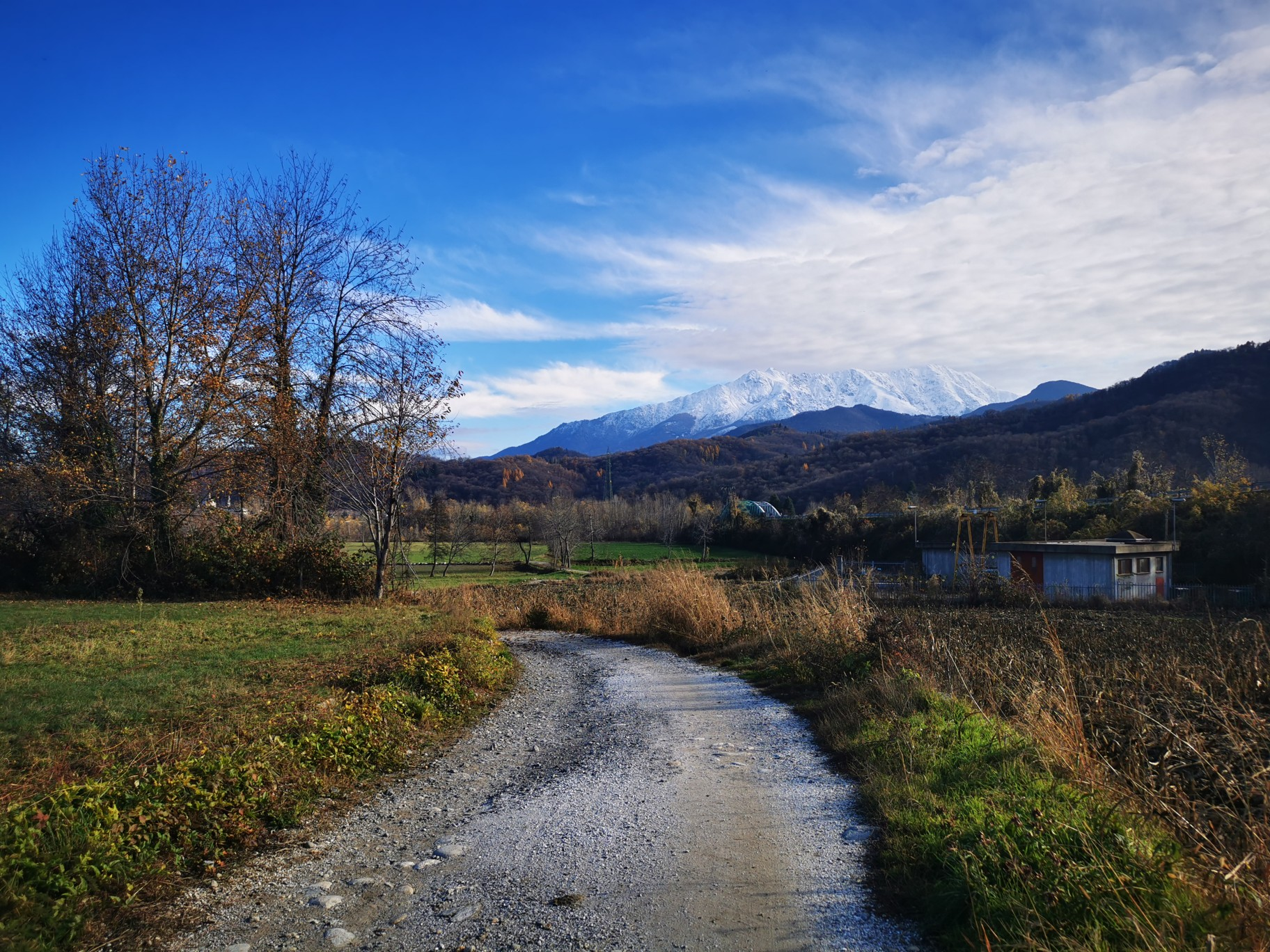
The alpine northwest – mountain gravel between Piedmont and the Aosta Valley
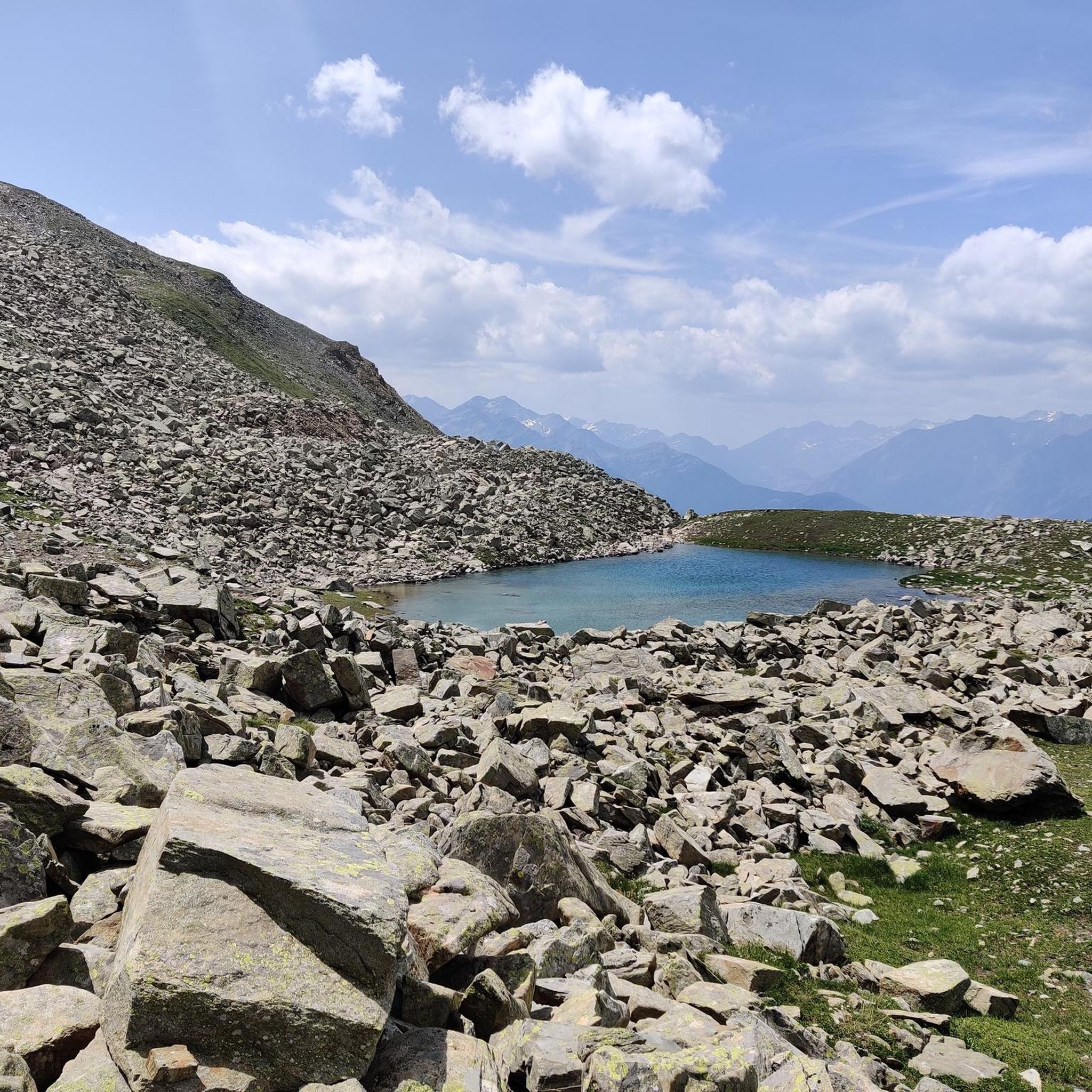
Road Cycling Routes around La Salle
Cycling around La Salle
MTB Trails around La Salle
Running Trails around La Salle

Gravel biking around La Salle
Mountain Hikes around La Salle
Other adventures around La Salle


Tips from the Community

A beautiful path in the woods with a long and challenging climb.
0
0

Here you can find a lush fountain with a stream of very fresh water. It's a perfect spot for a regenerating break for both us and our four-legged friends. Fill your water bottle and on hotter days you can also cool your head, then get back on the trail!
0
0
This small church in the center of Chabodey is easily recognizable by the frescoed facade of the chapel. Entering, you can enjoy some coolness before diving into the trails immersed in wild nature.
0
0

Please note that if it has rained it will most likely be inaccessible.
0
0
Breathtaking landscapes but watch out for roots and rocks, some pieces are exposed
0
0
The trip to and from Planaval takes 5 hours. Good physical fitness and experience of staying above 2,000 meters are recommended.
0
0

be careful when crossing the stream and pay attention to unnecessary brake sections.
0
0
Frequently Asked Questions
How many hiking trails are available in La Salle?
La Salle offers a wide range of hiking experiences with over 80 trails. These routes cater to various skill levels, from moderate ascents to challenging, long-distance expeditions through alpine terrain.
What kind of terrain can I expect on hikes around La Salle?
The terrain around La Salle is predominantly alpine, characterized by rugged mountain paths, dense forested sections, and open alpine meadows. You will encounter significant elevation changes, leading to mountain passes and high-altitude lakes.
Are there any easy hiking options in La Salle?
Yes, while many trails are challenging, La Salle does offer options for easier hikes. There are 14 routes classified as easy, providing more accessible ways to enjoy the alpine scenery without extreme difficulty.
Can I find circular hiking routes in La Salle?
Yes, there are circular routes available. For example, the Challancin - Col de Bard Loop is a difficult 8.2-kilometer trail that offers a rewarding circular experience through the alpine landscape.
What are some notable natural features or viewpoints to see while hiking?
Hikers can discover numerous natural features and viewpoints. Highlights include the Orrido di Pré-Saint-Didier Panoramic Walkway, offering stunning views, and various mountain passes like Grand Col Ferret (2,537 m). The region is also known for its high-altitude lakes and dramatic gorges.
Are there any waterfalls accessible on hikes in La Salle?
Yes, the region features impressive waterfalls. The Rutor Waterfalls are a prominent natural attraction that can be accessed and enjoyed during your hikes in the area.
What is the best time of year to go hiking in La Salle?
The best time for hiking in La Salle is generally during the warmer months, from late spring to early autumn, when trails are clear of snow and alpine meadows are in bloom. This period offers the most favorable conditions for exploring the high-altitude routes and passes.
What do other hikers enjoy most about the trails in La Salle?
The trails in La Salle are highly regarded by the komoot community, holding an average rating of 4.5 stars from over 900 reviews. Hikers frequently praise the challenging ascents, the breathtaking views from mountain passes, and the serene beauty of the high-altitude lakes.
Are there opportunities to see wildlife while hiking in La Salle?
Given its alpine environment, La Salle offers opportunities for wildlife viewing. Hikers might spot various mountain animals and birds, especially in the more secluded areas and during quieter times of the day. Keep an eye out in forested sections and open meadows.
What are the parking options for hikers in La Salle?
Parking availability varies depending on the specific trailhead. Many popular starting points for alpine hikes will have designated parking areas, though these can fill up quickly during peak season. It's advisable to arrive early or check local information for specific trailheads.
Do I need any permits for hiking in the La Salle area?
For general hiking on established trails in La Salle, specific permits are typically not required. However, if you plan to access certain protected areas or engage in activities like climbing or overnight stays in refuges, it's always best to check with local park authorities or mountain guides for any specific regulations or permits that might apply.
Where can I find refreshments or accommodation near the hiking trails?
La Salle and its surrounding villages offer various options for refreshments and accommodation. You'll find local cafes, restaurants, and hotels in the main towns. For trails leading to higher altitudes, there might be mountain refuges or huts that offer basic services and overnight stays.
Most popular routes around La Salle
Most popular attractions around La Salle

Get inspired with the komoot mobile app


Explore more
Browse the best Hikes in other regions.
