The best running trails around Chambave
4.7
(30)
3,616
runners
201
runs
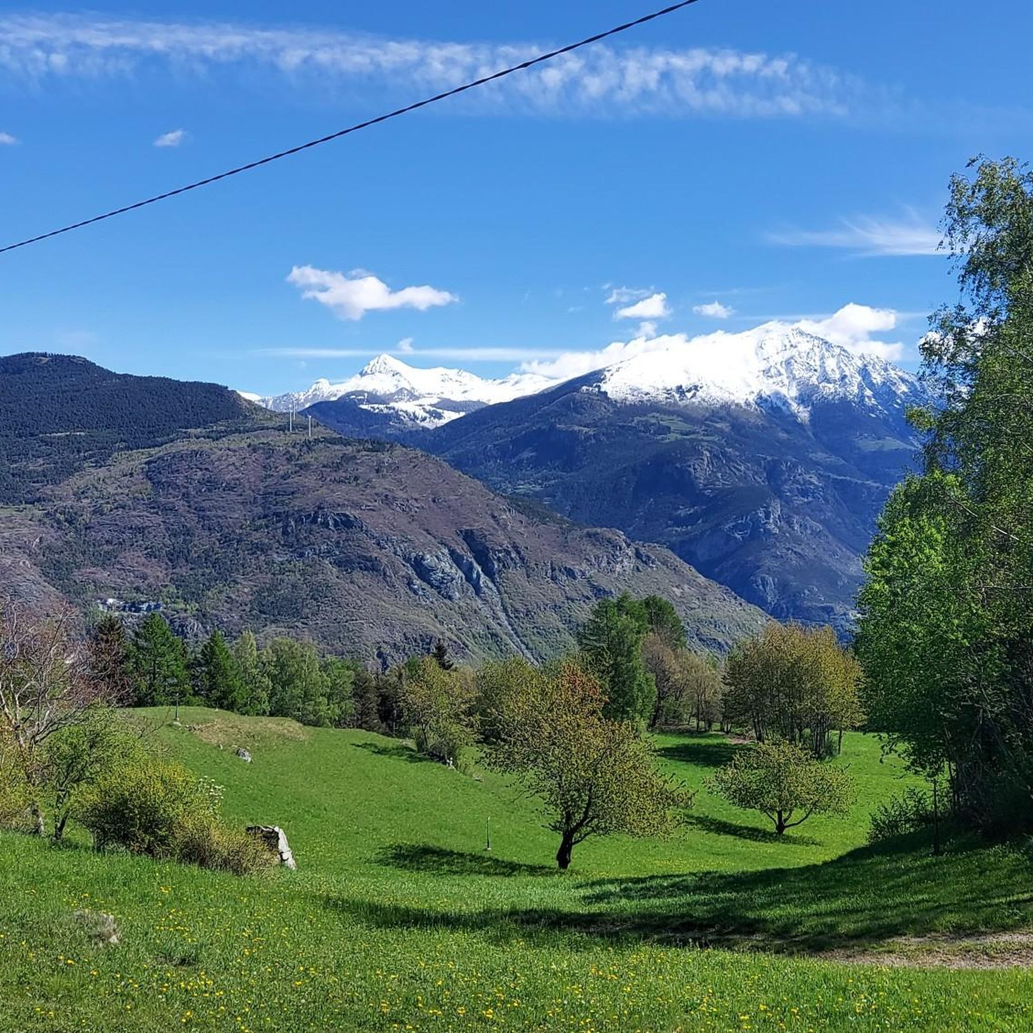
Jogging routes Chambave are set within the central Aosta Valley, characterized by terraced vineyards, broad hills, and forests of chestnut and pine. The region is traversed by the Dora Baltea River, offering varied terrain from riverside paths to routes with significant elevation changes. Mont Avic provides a dramatic mountain backdrop, contributing to the diverse landscapes available for running.
Best jogging routes around Chambave
- The most popular jogging route is Chandianaz Chapel – Railway bridge over the Dora. loop from Chambave…
Last updated: August 14, 2026
88
runners
17.0km
01:48
90m
90m
Hard run. Very good fitness required. Mostly paved surfaces. Suitable for all skill levels.
5.0
(1)
45
runners
20.3km
04:11
1,530m
1,540m
Hard run. Very good fitness required. Sure-footedness, sturdy shoes and alpine experience required.

Sign up for free
58
runners
13.6km
03:05
1,330m
1,330m
Hard run. Very good fitness required. Sure-footedness, sturdy shoes and alpine experience required.
4.0
(2)
54
runners
5.89km
00:37
40m
40m
Moderate run. Good fitness required. Mostly paved surfaces. Suitable for all skill levels.
33
runners
11.3km
01:12
120m
120m
Moderate run. Good fitness required. Mostly paved surfaces. Suitable for all skill levels.
Get access to more routes and recommendations from other explorers.
Sign up for free
Already have an account?
Our route recommendations are based on thousands of hikes, rides, and runs completed by other people on komoot.
Start today with a free account
Your next adventure awaits.
Login or Signup

Other adventures around Chambave

Tips from the Community

Pontey is a quiet municipality in the middle Aosta Valley, located between the Dora Baltea and the woods of Monte Barbeston. It is an excellent starting point for exploring the trails, farm tracks, and pastures of the slope, immersed in a natural environment rich in panoramas.
0
0
The Macine della Valmeriana are one of the most interesting geosites in the Aosta Valley. Millstones and soapstone artifacts were quarried from these rocks. Along the trail, you can still observe numerous unfinished millstones and the marks left by the ancient quarrying activity.
0
0


Beautiful hike! Also suitable for the less experienced hiker. Breathtaking views! And yes, we saw the marmots too :)
0
0

L'Alpe Valmeriana, located at about 1,800 meters above sea level, is a place of extraordinary natural beauty and historical interest. Surrounded by green pastures and coniferous forests, the alpine pasture offers breathtaking views of the surrounding mountains, among which the majestic Cima Nera (Cime Noire) stands out. On the southwestern slopes of Cima Nera, at an altitude between 2,335 and 2,340 meters, lie the remains of an ancient settlement of the Salassi, a Celtic people who inhabited the region before the Roman conquest. This archaeological site, known as Villaggio dei Salassi della Cime Noire, consists of about thirty dry-stone huts, arranged on a panoramic terrace in the Clapey di Ghiabou, a scree slope devoid of vegetation. The strategic position of the village, hidden from view from the valley floor and with wide views of the surrounding territory, suggests a surveillance or refuge function during periods of conflict, such as those that pitted the Salassi against the Romans between 143 and 25 BC. It is worth noting that near the Alpe there is a picnic area, also equipped with a shelter.
0
0
The Sentiero delle Macine della Valmeriana is a truly evocative hiking itinerary that offers a fascinating journey between nature and archaeology. This path leads to the discovery of ancient millstone quarries, used since Roman times. Along the trail, the remains of abandoned millstones bear witness to an extractive activity that characterized the area for centuries, representing an important historical heritage for the local community. The walk starts from Alpe Valmeriana and is about 10 kilometers long with an elevation gain of about 700 meters. During the excursion, you will encounter points of great interest, such as the suggestive Grotta delle Tre Bocche and the so-called “Planetario”, a huge boulder from which the millstones were extracted.
0
0

This stretch of cycle path that runs along a stretch of river (Dora Baltea) is very special.
6
0
Railway over the Dora. Worse were the consequences of the previous floods. The cycle path was no longer recognisable and transformed into a single sandy plain.
7
0
Frequently Asked Questions
How many running routes are available in Chambave?
Chambave offers a wide selection of running routes, with over 100 different trails available for exploration. These routes cater to various fitness levels, from moderate paths to more challenging runs.
What kind of terrain can I expect on Chambave's running trails?
The running trails in Chambave feature diverse terrain. You'll find routes winding through picturesque terraced vineyards, along the scenic Dora Baltea River Valley, and through broad hills covered with forests of chestnut, larch, and red pine. The majestic Mont Avic also provides a dramatic mountain backdrop to many runs.
Are there any easy or beginner-friendly running routes in Chambave?
Yes, while many routes are challenging, Chambave does offer options for easier runs. There are 3 easy and 13 moderate routes available. A good example of a moderate route is the Running loop from Fénis, which covers about 8.9 km with a moderate elevation gain.
Are there challenging running routes for experienced runners in Chambave?
Absolutely. Chambave is an excellent destination for experienced runners seeking a challenge, with 90 difficult routes available. Trails like the Running loop from Pontey offer significant elevation gain and strenuous workouts amidst the local scenery.
Can I find circular running routes in the Chambave area?
Yes, many of the running routes around Chambave are designed as loops, offering convenient circular options. For instance, you can try the Running loop from Chambave or the Saint-Marcel Castle – View of Nus Castle loop from Fénis, which takes you through historical areas.
What scenic views or natural landmarks can I see while running in Chambave?
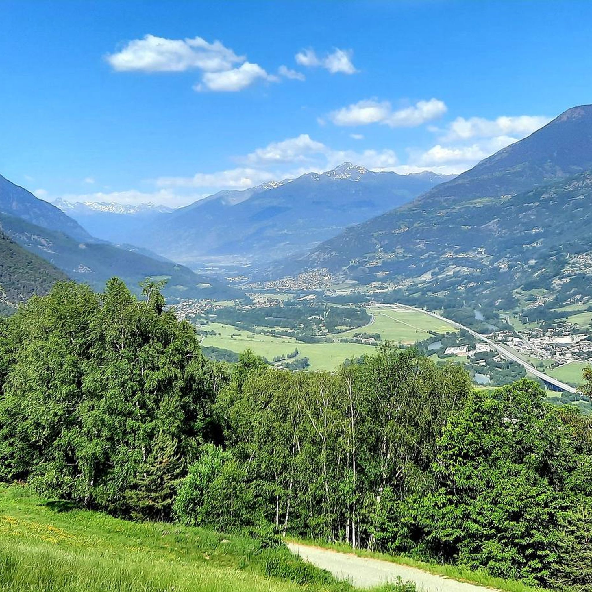
Jogging in Chambave offers stunning panoramic views of Châtillon and the surrounding valley, including the Dora Baltea river. You can also enjoy vistas extending to Mont Emilius, Becca di Nona, and even the Matterhorn in the distance. The terraced vineyards themselves are a beautiful feature of the landscape.
Are there any historical paths suitable for jogging in Chambave?
Yes, the ancient pilgrimage route, the Via Francigena, passes through Chambave. Sections of this historic path are suitable for jogging, allowing you to explore vineyards and grasslands while connecting with a rich cultural heritage.
What attractions are near the running routes in Chambave?
The Chambave area is rich in attractions. You can find several castles nearby, such as Fénis Castle and Saint-Marcel Castle. For natural beauty, there are lakes like Lake Muffé and Lake Miserin, which can be explored as part of longer outings.
Are there dedicated fitness trails for running in Chambave?
Yes, Chambave features a dedicated 2-kilometer fitness trail that connects the hamlets of Epiney and Tsan Fromenté. This accessible trail is equipped with 12 stages of specific sports equipment and has an elevation gain of approximately 50 meters, making it ideal for various activities, including jogging.
Are the running routes in Chambave suitable for families?
Many routes in Chambave are suitable for families, especially the dedicated 2-kilometer fitness trail between Epiney and Tsan Fromenté, which is designed for walks with children. The region's diverse trails offer options for various ability levels, so you can find paths that are comfortable for all family members.
Can I bring my dog on the running trails in Chambave?
Yes, the region is generally dog-friendly. The dedicated 2-kilometer fitness trail in Chambave is specifically mentioned as suitable for pets. For other routes, it's always a good idea to keep your dog on a leash and be mindful of local regulations and other trail users.
What is the best season for running in Chambave?
Chambave benefits from a mild climate, making it suitable for running across multiple seasons. Spring and autumn offer pleasant temperatures and vibrant scenery, while summer provides longer daylight hours. Even in winter, the mild climate can allow for enjoyable runs, though higher elevation trails might require more preparation.
What do other runners say about the trails in Chambave?
The running routes in Chambave are highly rated by the komoot community, with an average score of 4.4 stars from more than 10 reviews. Runners often praise the varied terrain, the stunning vineyard landscapes, and the historical elements found along paths like the Via Francigena.
Most popular attractions around Chambave

Get inspired with the komoot mobile app


Explore more
Browse the best Running Trails & Routes in other regions.
