The 20 Most Amazing Peaks around Arvier
Mountain peaks around Arvier offer access to spectacular mountain scenery in the Aosta Valley. The commune's highest point is Monte Doravidi, part of the Rutor Massif, known for its panoramic views. Arvier serves as a base for experiencing and viewing iconic peaks like Mont Blanc, Matterhorn, and Monte Rosa. The area provides diverse routes for mountain enthusiasts, from scenic trails to challenging ascents.
Best mountain peaks around Arvier
- The most popular mountain peaks is Punta della Croce and Ancient Fortifications…
Last updated: August 17, 2026
Punta della Croce and Ancient Fortifications
Highlight • Historical Site
Translated by Google •
Tip by

Grand Arpilles Trail
Highlight • Trail
Translated by Google •
Tip by

Sign up now to discover places like this
Get recommendations on the best single tracks, peaks, & plenty of other exciting outdoor places.
Sign up for free
Col Fetita
Highlight • Mountain Pass
Translated by Google •
Tip by

Monte Valaisan
Highlight • Summit
In winter it is the highest point in the La Rosiere area, connected to that of La Thuile.
In summer …
Translated by Google •
Tip by

View of Punta Chenal
Highlight • Summit
Translated by Google •
Tip by
Sign up for free to discover even more peaks around Arvier.
Sign up for free
Already have an account?
Start today with a free account
Your next adventure awaits.
Login or Signup
Popular around Arvier
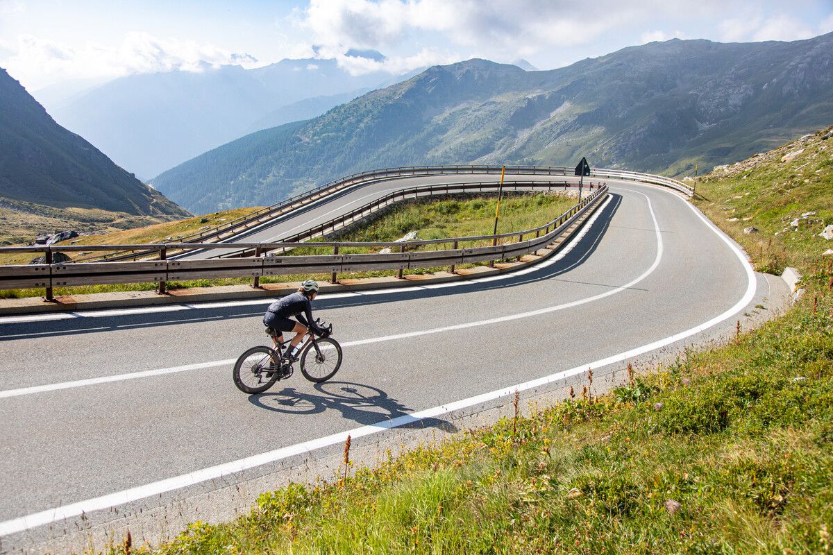
Road cycling in the Aosta Valley – major climbs and alpine routes

Alta Via n. 2 of the Aosta Valley — high peaks and beautiful valleys in Italy
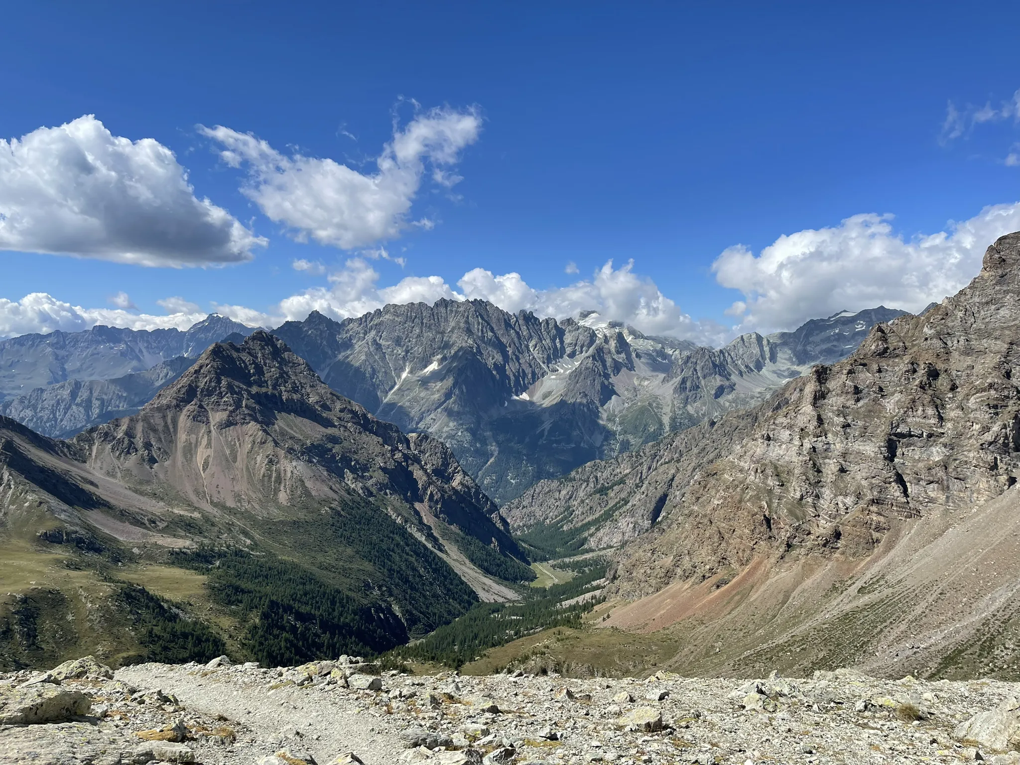
Running between the giants of the Alps – Tor des Géants
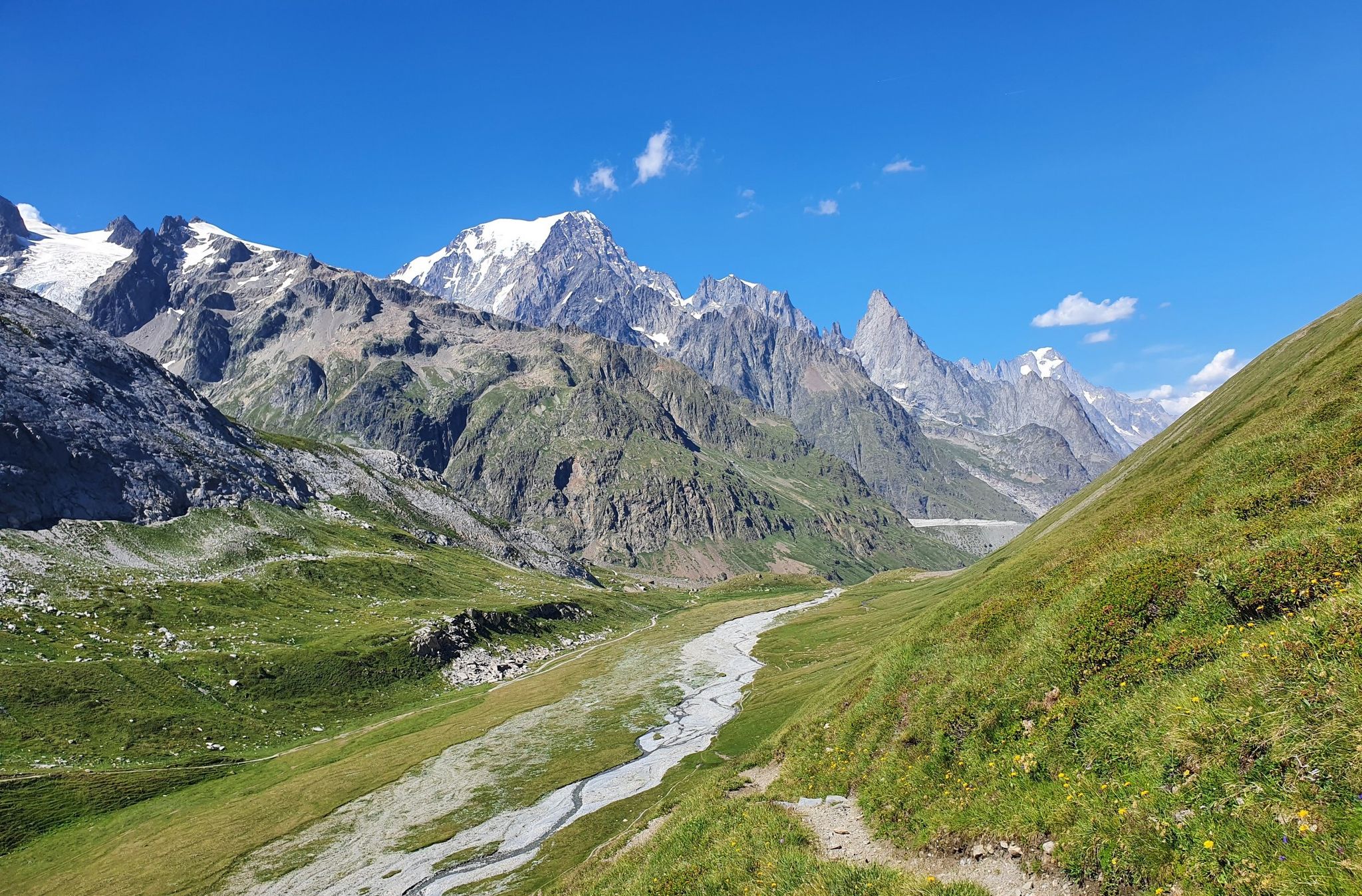
High peaks and beautiful valleys in Italy – Aosta Valley’s Alta Via Trail 2
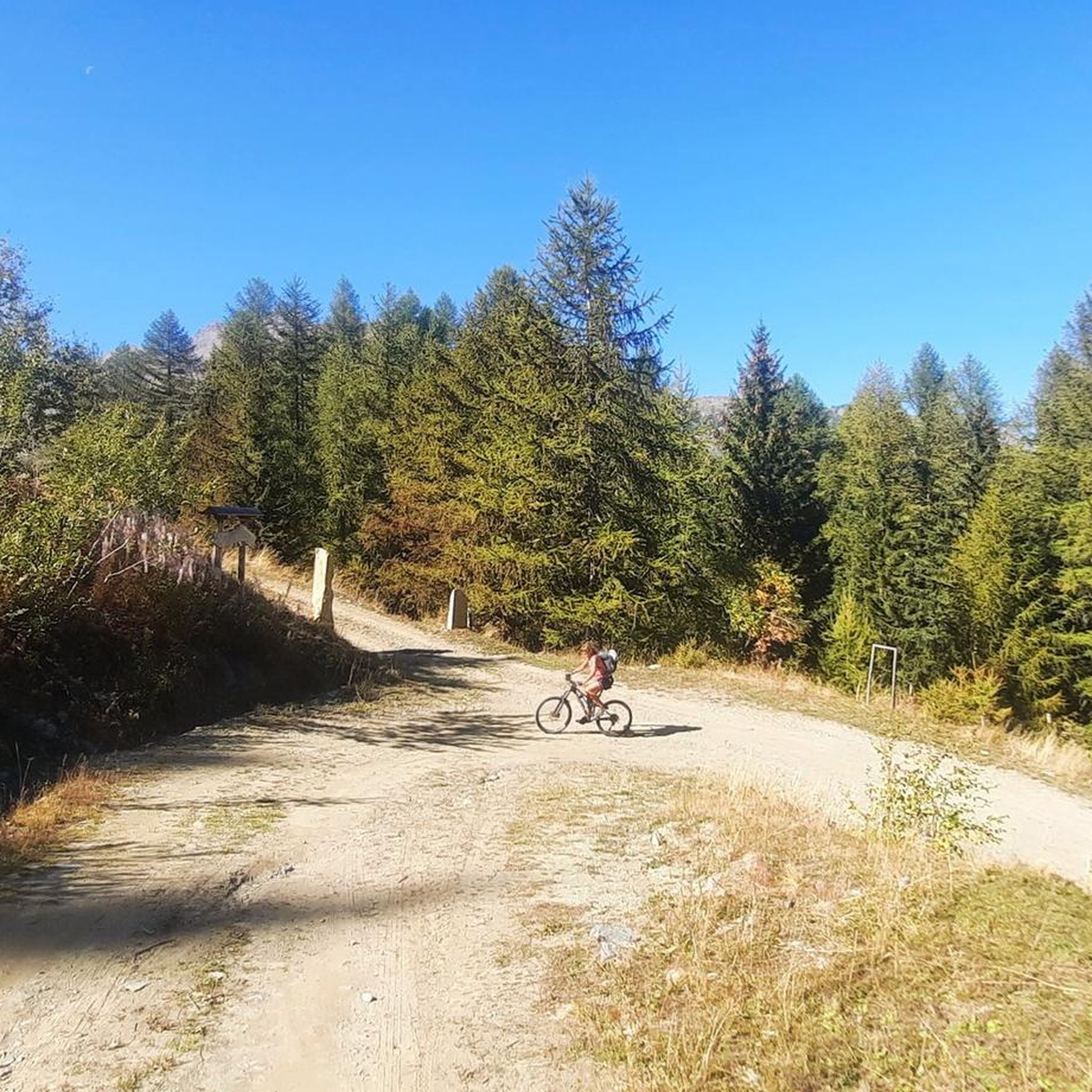
Hiking around Arvier
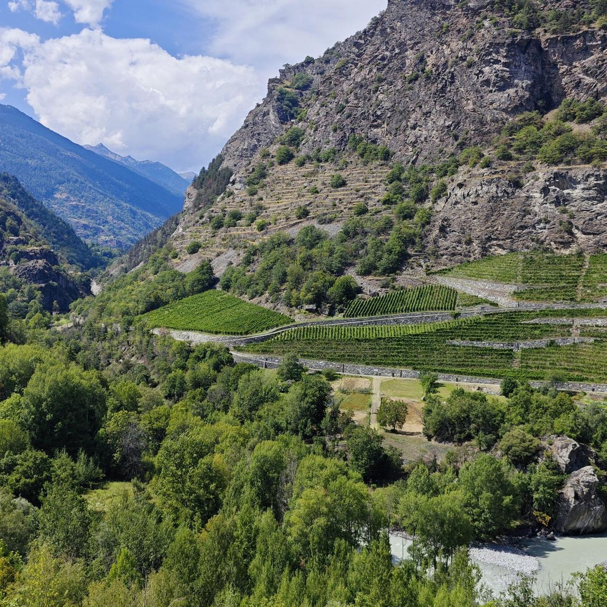
Road Cycling Routes around Arvier
Cycling around Arvier
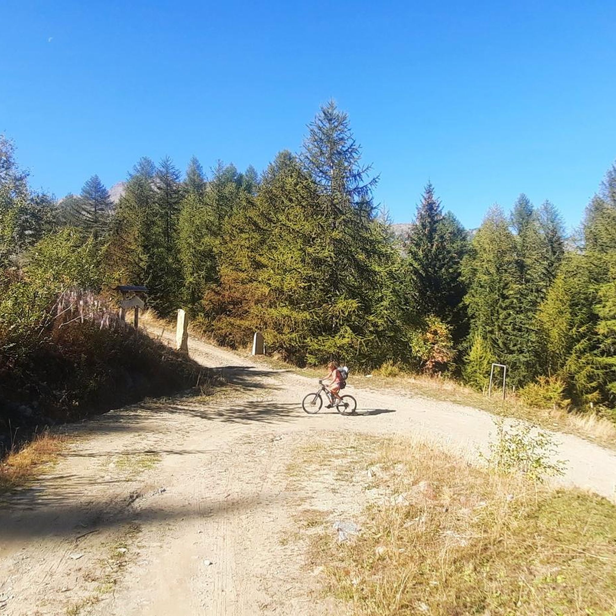
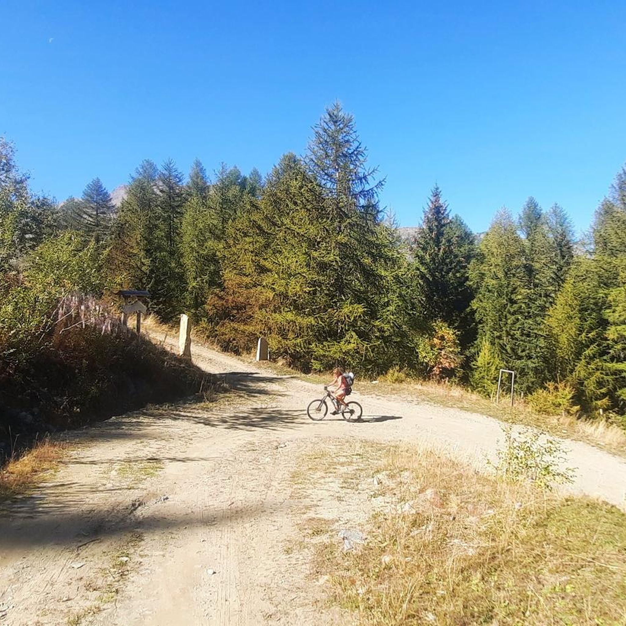
MTB Trails around Arvier
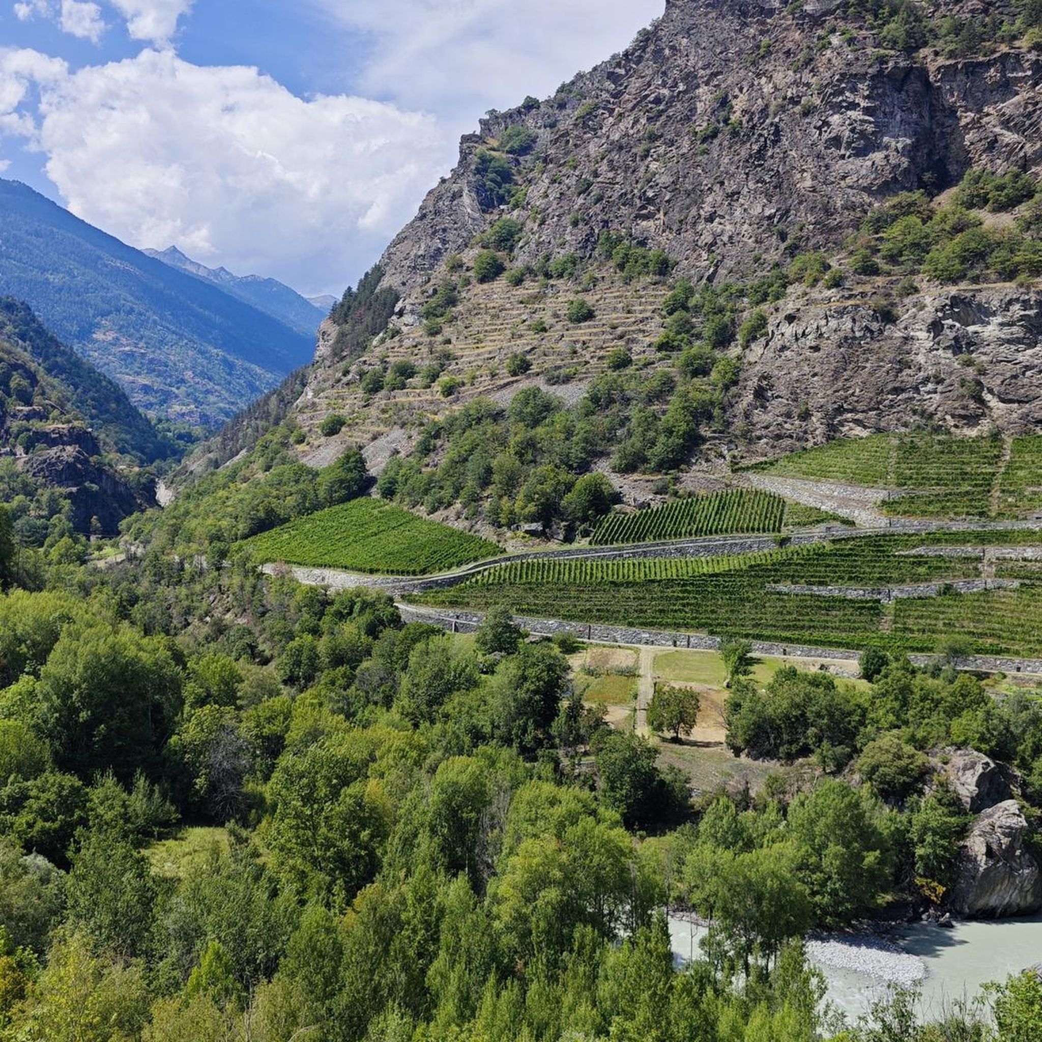
Running Trails around Arvier

Gravel biking around Arvier
Other adventures around Arvier


Tips from the Community

L'Alpe Grandes Arpilles is an alpine pasture located at an altitude of approximately 2090-2137 meters, in the Vétan basin. It is a cluster of huts, now largely reduced to ruins, situated in an open position overlooking the vast pastures that extend at the foot of Punta Leysser and Mont Fallère. It can be reached from Chatelanaz by following the winding dirt road, or more directly by ascending the slope from Thoules after crossing a stream. The pasture marks the intersection point with the cross-country road that continues along the mountainside towards the Mont Fallère Refuge, thus serving as a natural crossroads for hikers, snowshoers, and ski tourers. The tree vegetation thins out here until it disappears, giving way to grassy expanses that in winter transform into vast snowy slopes. The panorama is wide and open: to the south, one can admire the Grivola and the peaks of Gran Paradiso, while on clearer days, Mont Blanc can also be glimpsed.
0
0

Hill overlooking the Vertosan valley and Col Citrin
0
0


Farm road to climb to the Mont Fellere Refuge
0
0

The Fallere with its statues is always beautiful
0
0

Nice, even driveway with enough distractions along the way! 🙂
0
0

Hi, is the technical part feasible with front?
0
0

Magnificent panorama over the entire Mont Blanc chain and La Thuille. Near the cross there are only the remains of ancient fortifications that dominated the valley
1
0
Frequently Asked Questions
What are some of the most popular mountain peaks and viewpoints around Arvier?
Visitors frequently enjoy Punta della Croce and Ancient Fortifications, a historical site offering a vast panorama including Mont Blanc. Another popular spot is Col Fetita, known for its all-round panoramic views. Col de Metz also offers extensive views from its twin peaks.
What is the highest mountain peak within the municipality of Arvier?
The highest elevation directly within the municipality of Arvier is Monte Doravidi, standing at 3439m. It's part of the Rutor Massif and offers challenging climbs and breathtaking vistas, including the impressive Rutor glacier.
Are there challenging mountaineering routes near Arvier?
Yes, Monte Doravidi offers challenging ascents, typically involving ski mountaineering or advanced hiking, often starting from Planaval. These routes may require mountaineering equipment like crampons and ice axes for sections traversing the Château Blanc glacier. The Alta Via n. 2 of the Aosta Valley also passes through the region, featuring difficult high-altitude stages.
Where can I find panoramic views of iconic Alpine peaks like Mont Blanc or Matterhorn near Arvier?
From various hiking trails and viewpoints in and around Arvier, you can enjoy spectacular long-range views of Mont Blanc, Matterhorn (Cervino), and Monte Rosa. For example, Becca Pougnenta (2,822 m) offers a beautiful panoramic point on the Mont Blanc chain and other major Aosta Valley ranges.
Are there any historical sites on the mountain peaks around Arvier?
Yes, Punta della Croce and Ancient Fortifications is a notable historical site. From its summit, you can explore old trenches while enjoying a vast panorama that includes Mont Blanc.
What kind of outdoor activities can I do near the mountain peaks of Arvier?
Beyond hiking and mountaineering, the area around Arvier offers diverse activities. For rock climbing enthusiasts, the Leverogne Rock Climbing Wall provides a unique experience. Ski mountaineering is popular, especially from the hamlet of Planaval, which hosts the Tour du Ruitor race. You can also find various hiking routes and cycling tours in the vicinity.
Are there any specific trails known for their views of the Rutor group?
Yes, Punta Chenal (3207 m) offers a grandiose panorama from its summit, dominating all the peaks of the Rutor group. The ascent can be done from Valgrisenche or La Thuile, often with an overnight stay at the Deffeyes refuge.
What are some recommended hiking trails near Arvier that offer great views?
The CAI Trail 7 from Grand Haury to Cou is specifically highlighted for its spectacular Monte Bianco views. Another challenging option is a stage of the Alta Via n. 2 della Valle d'Aosta, which includes an ascent to Lake Fondo and the Zappelli bivouac, offering spectacular alpine scenery.
What is the best time to visit the mountain peaks around Arvier?
The best time to visit depends on your activity. Summer (June to September) is ideal for hiking and climbing, offering generally stable weather and accessible trails. For ski mountaineering, late winter and spring (March to May) are typically preferred when snow conditions are optimal.
Are there any moderate hiking options for those who want scenic views without extreme difficulty?
Yes, while many routes are challenging, there are moderate options. For example, the Leverogne to Grand Haury trail (via Big Bench of Arvier) and the Saint-Nicolas Loop from Arvier are both rated as moderate and offer enjoyable experiences with scenic views.
What kind of terrain can I expect on mountain trails near Arvier?
The terrain around Arvier is diverse, ranging from well-maintained hiking paths to challenging high-alpine routes. You can expect rocky sections, steep ascents, and potentially glacier crossings on advanced mountaineering routes. Lower trails often feature forested areas and open meadows, while higher elevations are characterized by exposed rock and scree.
Most popular routes around Arvier
Most popular attractions around Arvier

Get inspired with the komoot mobile app


Explore more
See even more amazing summits around Arvier with these guides:
