The best walks and hikes around Stallehr
4.6
(13207)
66,740
hikers
770
hikes
Hiking around Stallehr offers access to the diverse landscapes of the Vorarlberg Alpine region in Austria. The area is characterized by mountainous terrain with numerous peaks, alpine meadows, and clear mountain streams. Hikers can explore a network of trails that traverse imposing summits and high alpine terraces.
Best hiking trails around Stallehr
- The most popular hiking route is Rappenkopf – Davennakopf Summit loop from Stallehr, an 8.3 miles (13.3 km) trail that takes 6 hours 15 minutes to complete,…
Last updated: October 4, 2026
5.0
(1)
24
hikers
13.4km
06:16
1,080m
1,080m
Hard hike. Very good fitness required. Sure-footedness, sturdy shoes and alpine experience required.
4.8
(28)
36
hikers
4.52km
01:11
30m
30m
Easy hike. Great for any fitness level. Easily-accessible paths. Suitable for all skill levels.

4.5
(4)
46
hikers
Moderate hike. Good fitness required. Easily-accessible paths. Suitable for all skill levels.
4.9
(10)
68
hikers
Moderate hike. Good fitness required. Easily-accessible paths. Suitable for all skill levels.
15
hikers
10.8km
03:36
520m
520m
Moderate hike. Good fitness required. Mostly accessible paths. Sure-footedness required.
Get access to more routes and recommendations from other explorers.
Already have an account?
Our route recommendations are based on thousands of hikes, rides, and runs completed by other people on komoot.
Start today with a free account
Your next adventure awaits.
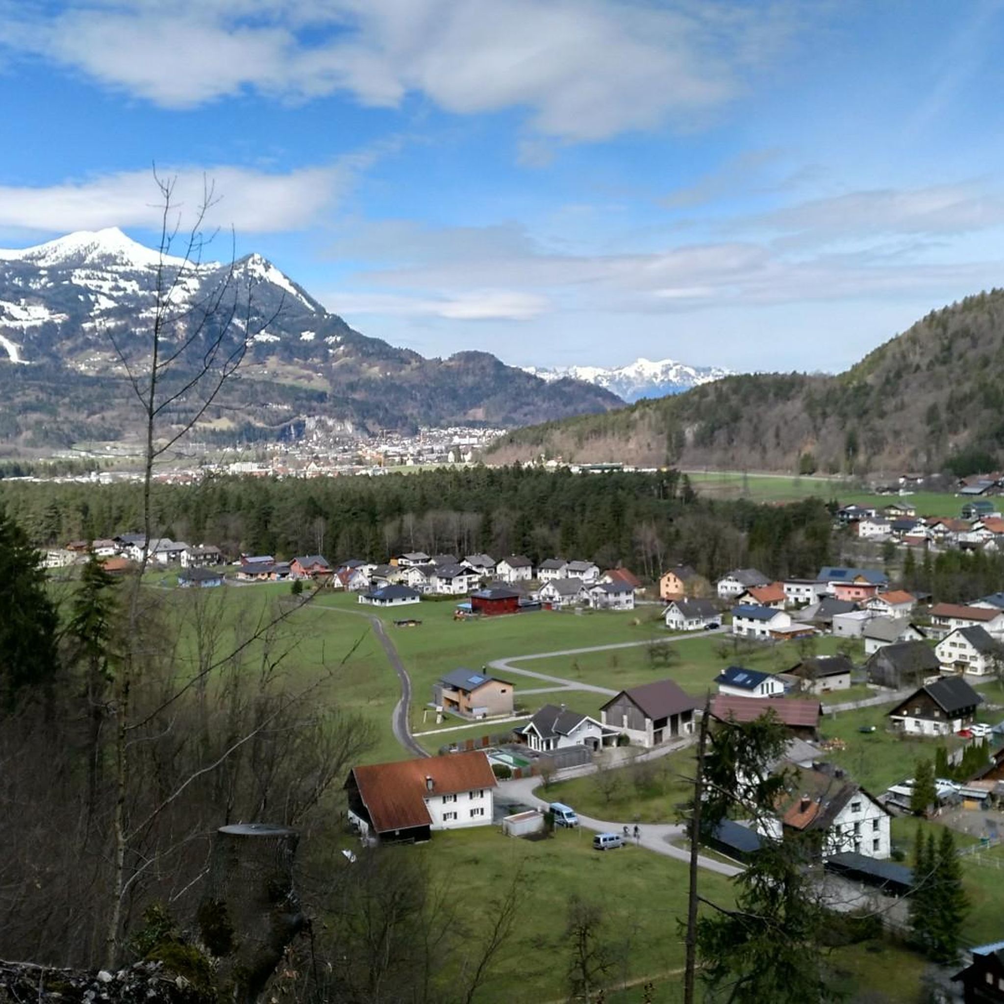
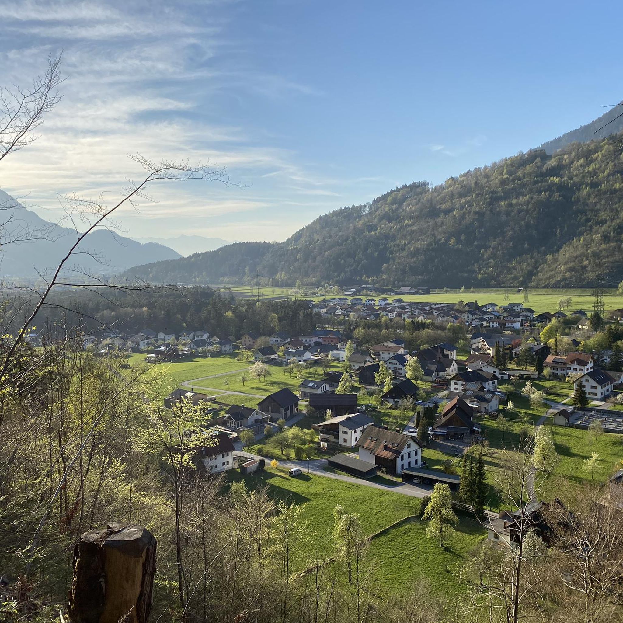
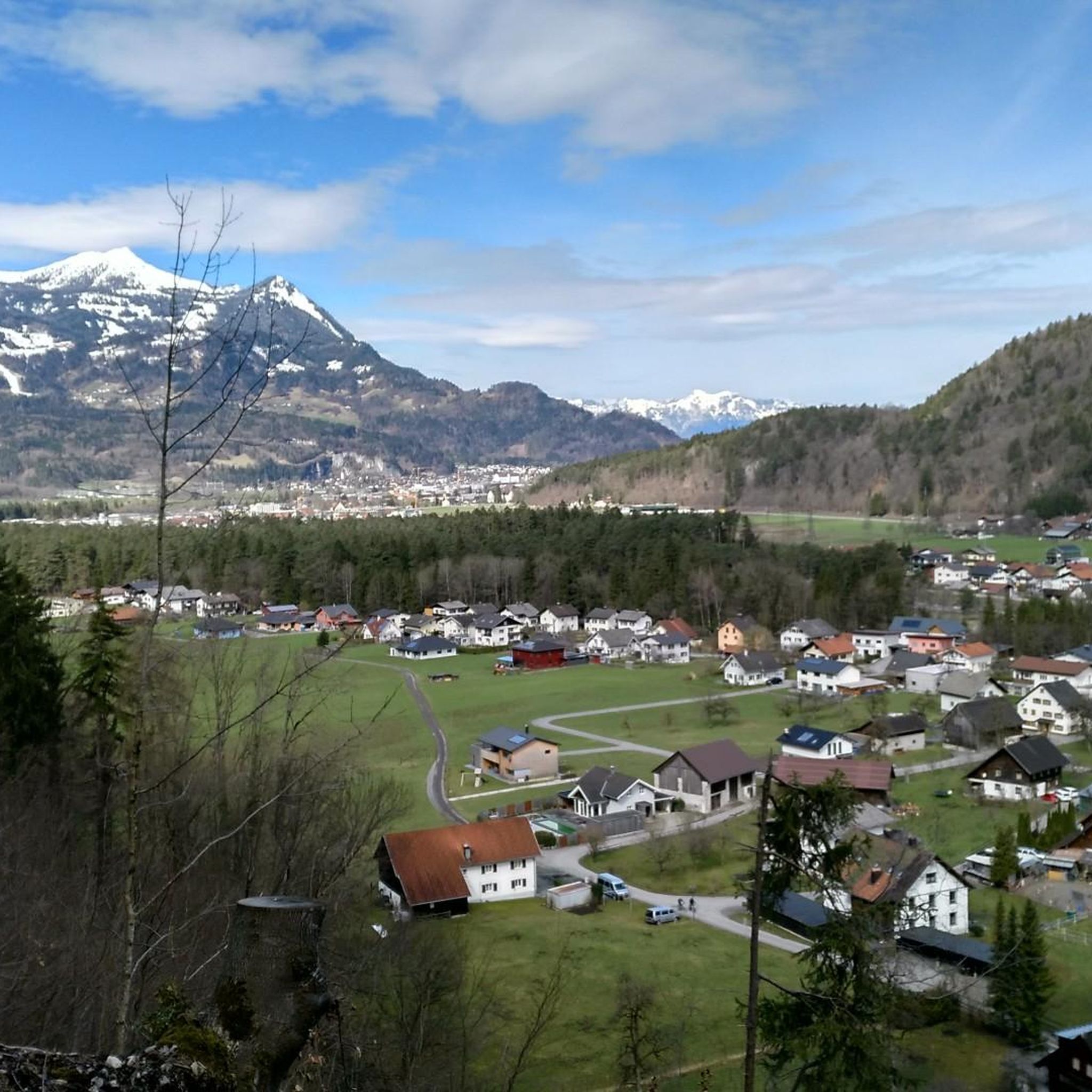
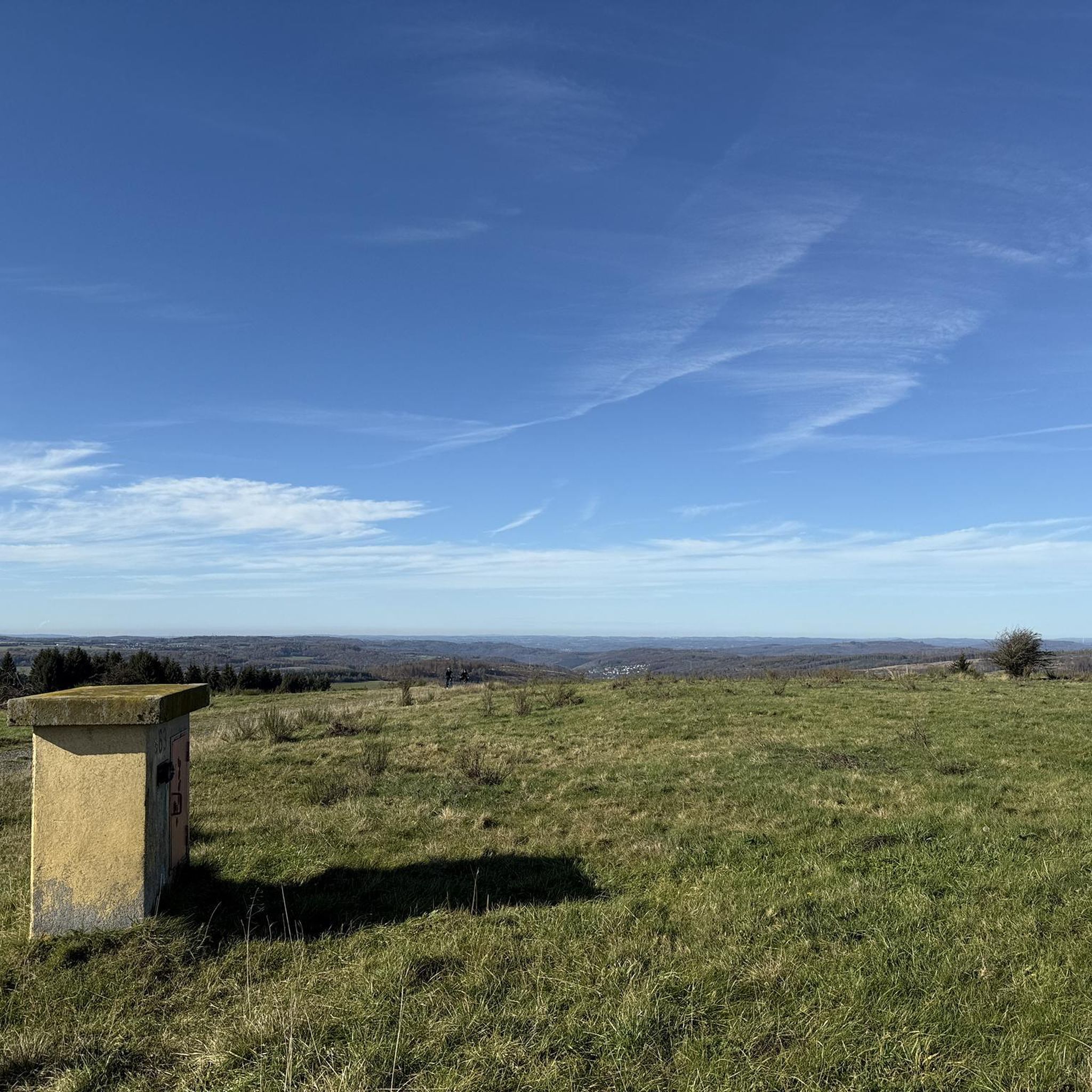
Tips from the Community

Beautiful path through the beech forest. In some places you have a nice view down to Bludenz.
0
0

A blue-and-white marked trail is easily accessible all the way to the summit. Caution is advised there, as the wall drops vertically.
1
0

The beautifully designed "Hellwald" sound rest stop provides playful entertainment for hikers of all ages. It's a great place to rest.
1
0


Impressive church with black marble altar
0
1
Beautiful old fountain with a great figure
0
1

Very nice path through the forest and if you are lucky and keep quiet you can see squirrels.
0
0

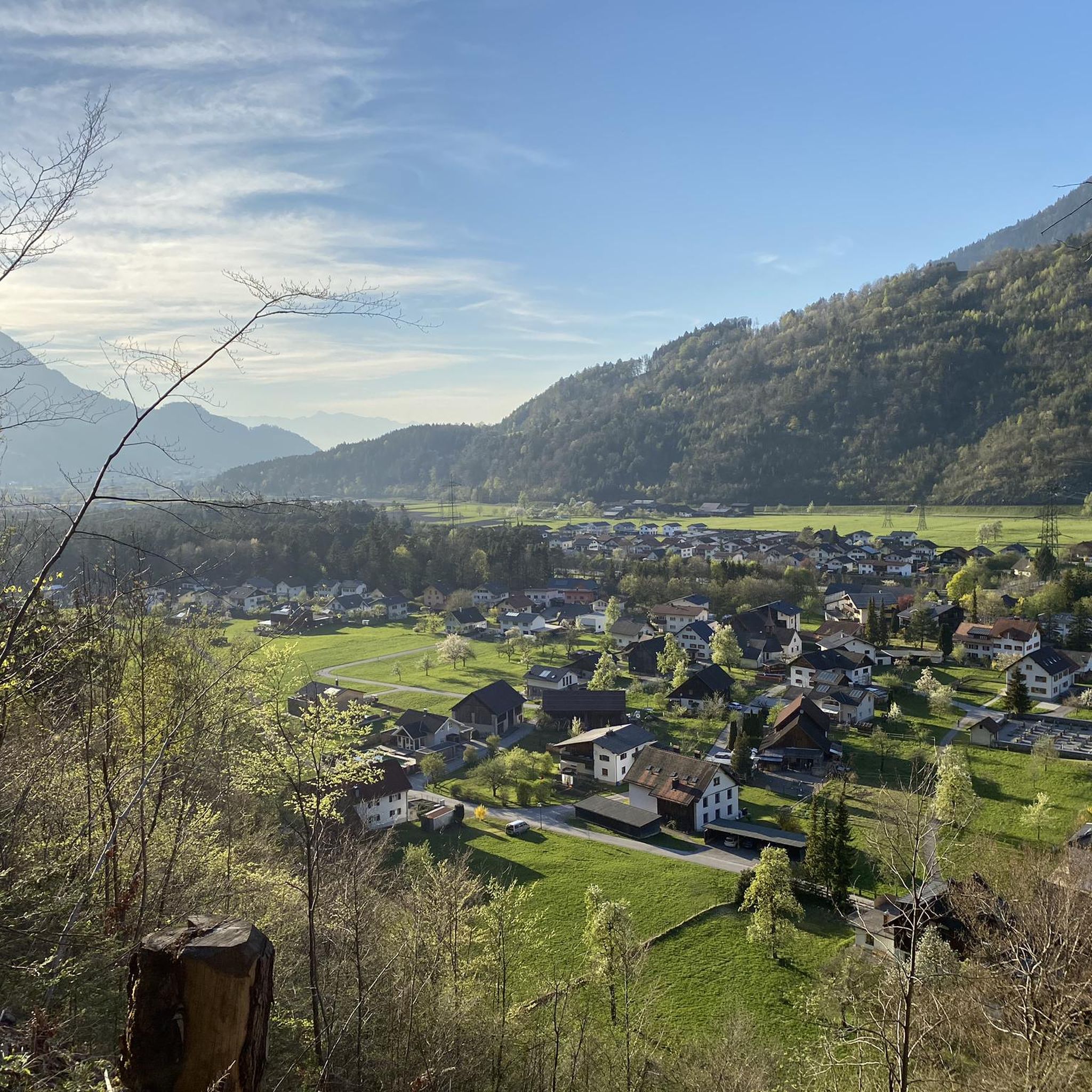
Wonderful view of the Alps 👍 - Bludenz - The Alpine City ⛰🏔⛰ - Voralberg - 🇦🇹
0
0
Frequently Asked Questions
How many hiking trails are available around Stallehr?
Stallehr offers an extensive network of trails, with over 770 hiking routes available. These range from easy strolls to challenging summit ascents, catering to all levels of experience.
Are there easy hiking trails suitable for beginners in Stallehr?
Yes, Stallehr has nearly 290 easy hiking routes. A great option for a scenic, less strenuous walk is the Roggelskopf loop from Stallehr, which is an easy 2.8 miles (4.5 km) path with minimal elevation changes.
What options are there for challenging hikes in Stallehr?
For those seeking a challenge, Stallehr provides over 100 difficult routes. A notable strenuous option is the Rappenkopf – Davennakopf Summit loop from Stallehr, an 8.3 miles (13.3 km) trail with significant elevation gain, offering panoramic views from the summits.
Are there family-friendly hiking routes in Stallehr?
The region around Stallehr offers many trails suitable for families, especially among the easier routes. The diverse landscapes, including alpine meadows and clear streams, provide an engaging environment for all ages. Look for routes with minimal elevation changes and shorter distances.
What natural features and landmarks can I see while hiking near Stallehr?
Stallehr is surrounded by stunning alpine scenery. You can encounter numerous peaks offering panoramic views, clear mountain streams, and high alpine terraces. The broader region also features natural monuments like canyons and waterfalls. Hikers can also visit the picturesque Freiburger Hut, located above the Formarinsee, which is a significant natural attraction.
Are there any circular walks available in Stallehr?
Yes, many routes in Stallehr are designed as circular walks, allowing you to start and end at the same point. Examples include the challenging Rappenkopf – Davennakopf Summit loop from Stallehr and the easier Roggelskopf loop from Stallehr. These loops provide varied terrain and views without retracing your steps.
What do other hikers enjoy most about hiking in Stallehr?
The hiking experience in Stallehr is highly rated by the komoot community, with an average score of 4.6 stars from over 10,000 reviews. Hikers frequently praise the diverse landscapes, from imposing summits to serene alpine meadows, and the well-maintained trail networks that cater to all abilities.
Are there mountain huts or places to rest along the trails in Stallehr?
Yes, the region around Stallehr is well-equipped with mountain huts that provide essential amenities. The Freiburger Hut is a prominent DAV refuge above the Formarinsee, offering a place to rest or stay overnight. Other huts like Frassenhütte Mountain Restaurant and Gauertalhaus are also available in the broader area.
What is the best time of year to hike in Stallehr?
The Vorarlberg Alpine region around Stallehr is generally best for hiking during the warmer months, from late spring to early autumn, when trails are clear of snow and alpine wildflowers are in bloom. This period offers pleasant temperatures and optimal conditions for exploring the diverse landscapes and high alpine terraces.
Are there any lakes or reservoirs to visit near Stallehr?
Yes, the area features several beautiful bodies of water. The picturesque Formarinsee is a significant natural attraction, often associated with the Freiburger Hut. Other nearby options include Latschau Reservoir, Fritzensee, and Montjola Pond, offering serene spots to enjoy the alpine environment.
Is parking available at trailheads in Stallehr?
While specific parking details for each trailhead vary, Stallehr, as a village nestled in the Vorarlberg Alpine region, generally provides parking facilities for hikers. It's advisable to check local signage or tourist information for the most convenient parking options near your chosen starting point.
Can I reach hiking trails in Stallehr using public transport?
The Vorarlberg Alpine region is known for its well-developed infrastructure. While specific public transport connections to every trailhead in Stallehr might vary, the region generally offers options to reach popular hiking areas. It's recommended to consult local public transport schedules for routes connecting to Stallehr and its surrounding trailheads.
Most popular attractions around Stallehr

Get inspired with the komoot mobile app


Explore more
Browse the best Hikes in other regions.
