The best walks and hikes around Piaghe/Ploaghe
4.6
(23)
113
hikers
7
hikes
Hiking around Piaghe/Ploaghe offers diverse landscapes shaped by ancient volcanic activity, featuring a mosaic of mountains, plateaus, forests, hills, and plains. The region is characterized by distinct geological formations, including porphyritic andesite lavas and basaltic andesite lava flows. Numerous archaeological sites, such as Nuragic settlements and ancient necropolises, are integrated into the natural environment. This blend provides a unique setting for outdoor exploration.
Best hiking trails around Piaghe/Ploaghe
- The most popular hiking route is Walk from Osilo to Monte Tuffusedu…
Last updated: July 8, 2026
4.5
(4)
19
hikers
6.51km
01:53
170m
160m
Easy hike. Great for any fitness level. Easily-accessible paths. Suitable for all skill levels.
4.0
(1)
14
hikers
4.80km
01:55
380m
380m
Moderate hike. Good fitness required. Easily-accessible paths. Suitable for all skill levels.

Sign up for free
4.6
(5)
16
hikers
10.5km
03:06
240m
240m
Moderate hike. Good fitness required. Mostly accessible paths. Sure-footedness required.
5.0
(1)
7
hikers
4.40km
01:13
80m
80m
Easy hike. Great for any fitness level. Easily-accessible paths. Suitable for all skill levels.
4.4
(5)
9
hikers
7.36km
02:11
230m
230m
Moderate hike. Good fitness required. Easily-accessible paths. Suitable for all skill levels.
Get access to more routes and recommendations from other explorers.
Sign up for free
Already have an account?
Our route recommendations are based on thousands of hikes, rides, and runs completed by other people on komoot.
Start today with a free account
Your next adventure awaits.
Login or Signup
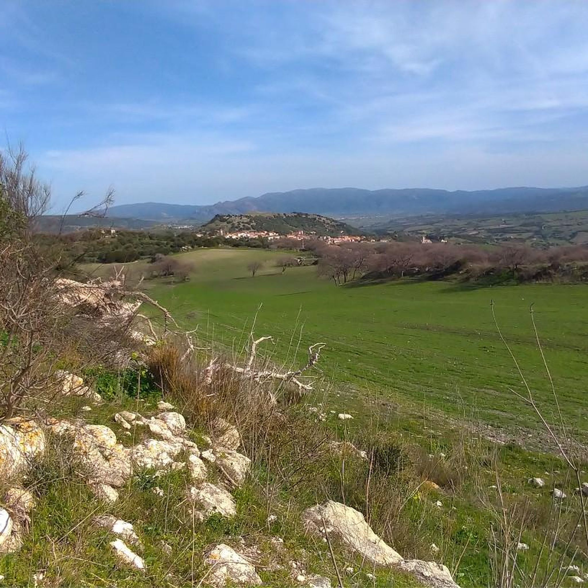
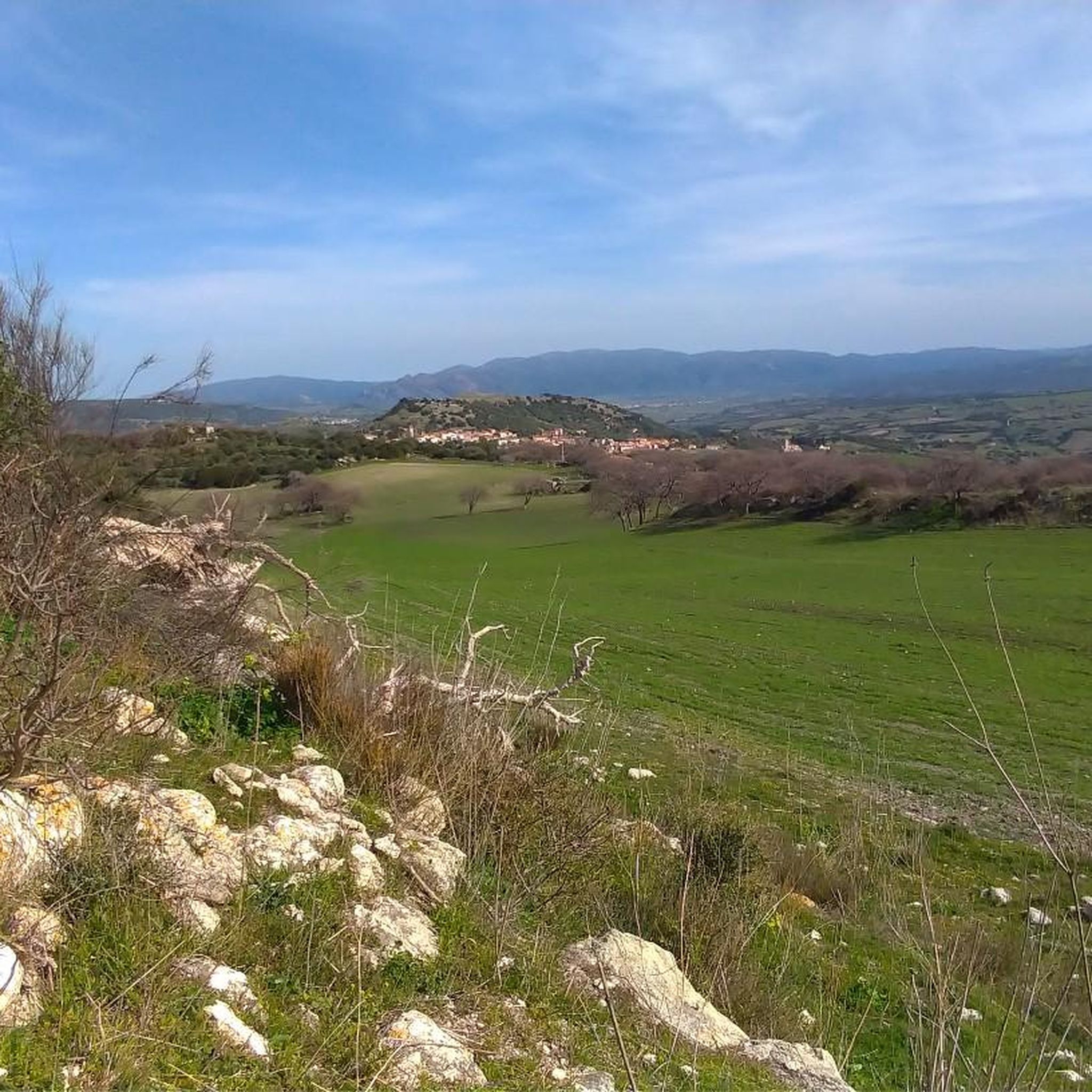
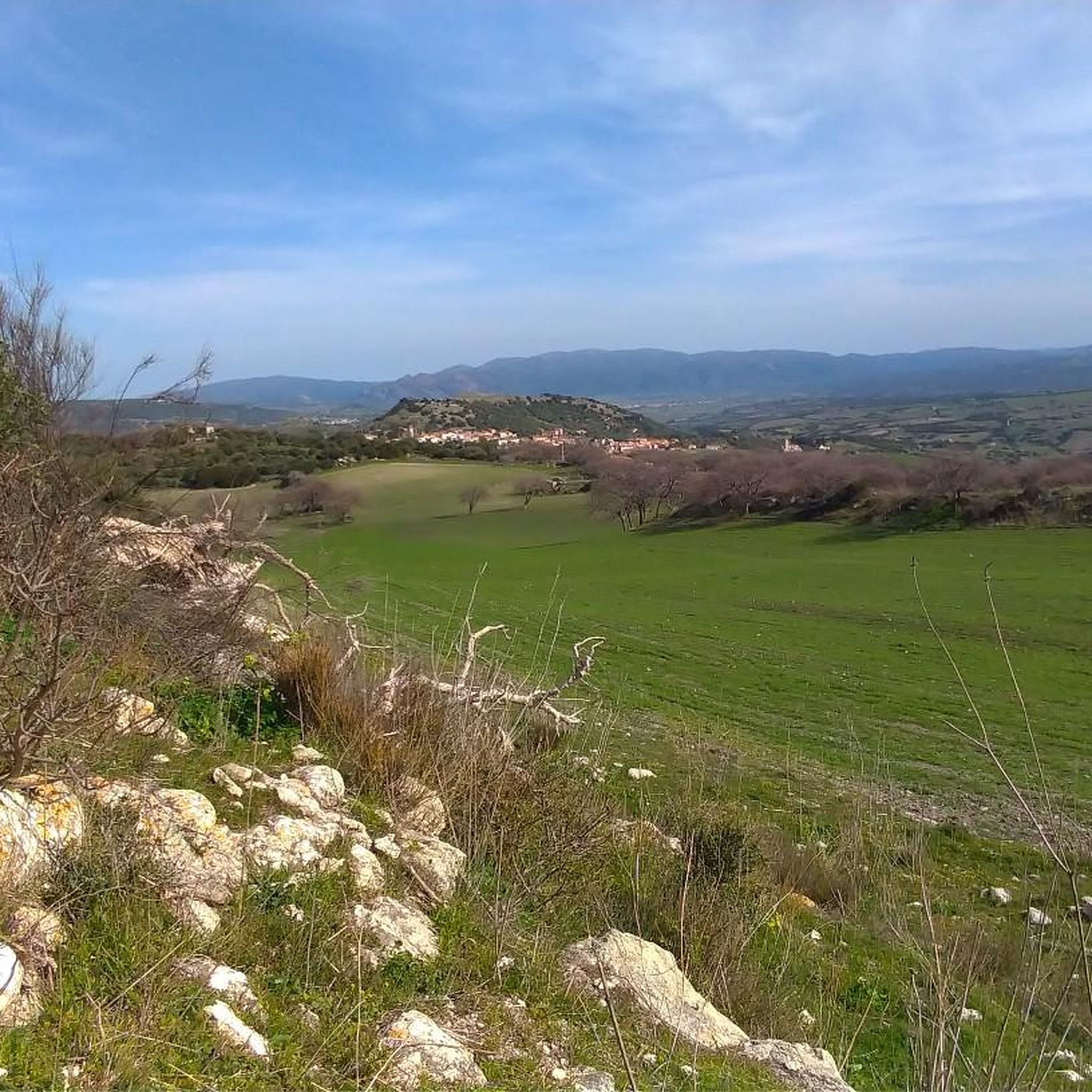
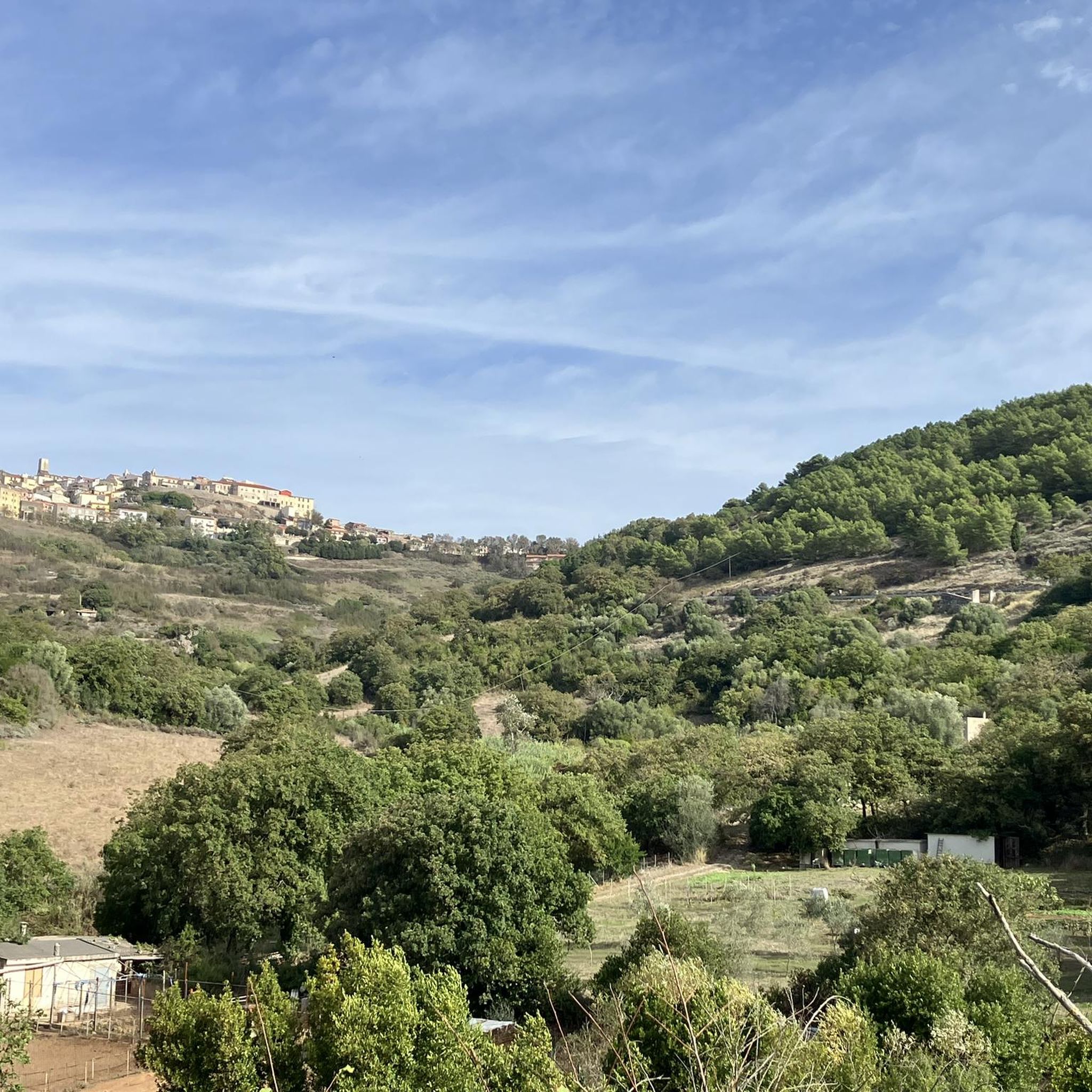
Tips from the Community

Nice ride to do both on road bike and gravel, roads with little traffic with asphalt in good condition. You pass through small villages after being able to fill your water bottles or make a short stop at the bar to refresh yourself
0
0

The church of Saints Elias and Enoch, located on the mesa of Monte Santo, dates back to the Byzantine era (6th-9th century AD) and reflects the traditions of Greek monasticism. Originally, it was a place of worship for hermit monks who lived in cells dug into the mountain. In 1065, the church became the first Benedictine monastery on the island.
1
0
Monte Santo (Monte Santu or Monte Sant'Elies in Sardinian) is an isolated mountain and mesa in Logudoro, with an altitude of 733 meters. During the climb, lithological changes are observed, passing from carbonate rocks to basaltic ones around 650 meters. On the summit, located on the south-western lip, you can enjoy a vast panorama, especially at the summit cross.
1
0
With its unmistakable profile, Monte Santo is an icon of Meilogu, the name of this enchanted corner of Sardinia. Born from ancient volcanic eruptions, this mountain rises among vast green fields, offering breathtaking views.
1
0

The Rosario Church is a religious building in Osilo, a city in northwestern Sardinia. It is dedicated to Catholic worship and belongs to the parish of the Immaculate Conception, which, like the church of Santa Croce, is not far away. The church, built in the 17th century, is dedicated to the Madonna del Rosario; In addition, Saint Dominic, Saint Anne and Saint Narcissus of Girona, protectors of crops from locust plagues, were also honored in the church. Source: https://it.wikipedia.org/wiki/Chiesa_del_Rosario_(Osilo)
0
0

Danger! The hiking trail is (now in summer 2023) completely overgrown, especially with blackberry bushes and thistles. Absolutely not recommended unless you have a machete.
3
0

The small town is immersed in the wild Sardinian hinterland, the peculiarity of the village is that it is surrounded by rocks with sinuous limestone formations
0
0
Unfortunately, the church itself cannot be visited from the inside. But the view of the landscape is just great!
0
0
Frequently Asked Questions
What kind of landscape can I expect when hiking around Piaghe/Ploaghe?
The region offers a diverse landscape shaped by ancient volcanic activity, featuring a mosaic of mountains, plateaus, forests, hills, and plains. You'll encounter distinct geological formations like porphyritic andesite lavas and basaltic andesite lava flows, creating picturesque and engaging routes.
Are there any easy hiking trails suitable for beginners or casual walkers?
Yes, Piaghe/Ploaghe has several easy trails. For instance, the Walk from Osilo to Monte Tuffusedu and back is an easy 6.5 km route that takes less than two hours. Another option is the Chiesa di San Pantaleo loop from Maltis/Martis, which is about 5.8 km and also considered easy.
What are some notable historical or natural landmarks I can see on the trails?
Piaghe/Ploaghe is rich in history and natural beauty. You can explore ancient archaeological sites like Nuragic settlements and necropolises. For example, the Necropolis of Mesu ‘e Montes is a remarkable funerary complex. You might also encounter natural features like the Natural Spring, or the Petrified Forest of Martis.
Are there any circular hiking routes in the Piaghe/Ploaghe area?
Yes, several routes are designed as loops. The Sassari-Osilo Railway Bridge – Natural Spring loop from Filigheddu is a moderate 8.2 km circular trail. Another easy option is the Natural Spring loop from Stadio Vanni Sanna, which is about 4.4 km.
What is the best time of year to go hiking in Piaghe/Ploaghe?
Given Sardinia's climate, spring (April-May) and autumn (September-October) are generally the most pleasant seasons for hiking in Piaghe/Ploaghe. The weather is milder, and the landscapes are vibrant. Summers can be very hot, making early morning or late afternoon hikes preferable, while winters are generally mild but can be rainy.
Are the hiking trails in Piaghe/Ploaghe suitable for families with children?
Many of the trails are suitable for families, especially the easier routes. The Walk from Osilo to Monte Tuffusedu and back is an easy option with manageable distance and elevation, offering views that can keep children engaged.
Can I bring my dog on the hiking trails in Piaghe/Ploaghe?
Most natural areas in Sardinia, including hiking trails, are generally dog-friendly, but it's always advisable to keep your dog on a leash, especially in areas with wildlife or livestock. Be sure to carry water for your pet, particularly during warmer months.
What do other hikers say about the trails in Piaghe/Ploaghe?
The routes in Piaghe/Ploaghe are highly rated by the komoot community, with an average score of 4.2 stars from over 10 reviews. Hikers often praise the diverse volcanic landscapes and the integration of historical sites into the natural environment, offering a unique blend of nature and culture.
Are there any viewpoints or scenic spots along the trails?
Yes, the volcanic terrain of Piaghe/Ploaghe offers numerous scenic spots. Trails like Walk from Osilo to Monte Tuffusedu and back provide views towards Monte Tuffusedu. You can also find specific viewpoints like the Osilo Forest Observation Tower, which offers panoramic vistas.
Are there places to eat or drink in Piaghe/Ploaghe after a hike?
Ploaghe, as a town, offers various amenities including cafes and restaurants where you can relax and refuel after your hike. You'll find options for local Sardinian cuisine and refreshments within the town center.
How many hiking routes are available in the Piaghe/Ploaghe area?
There are several hiking routes available around Piaghe/Ploaghe, with komoot listing 7 distinct tours. These range from easy walks to more moderate trails, catering to different fitness levels.
What is the difficulty level of the 'Discovering Monte Santo' trail?
The Discovering Monte Santo trail is rated as moderate. It's a 4.8 km path that explores the area around Monte Santo, featuring varied terrain and elevation changes suitable for hikers with some experience.
Most popular attractions around Piaghe/Ploaghe

Get inspired with the komoot mobile app


Explore more
Browse the best Hikes in other regions.
