The best MTB trails around Putumajore/Pozzomaggiore
4.8
(12)
67
riders
6
rides
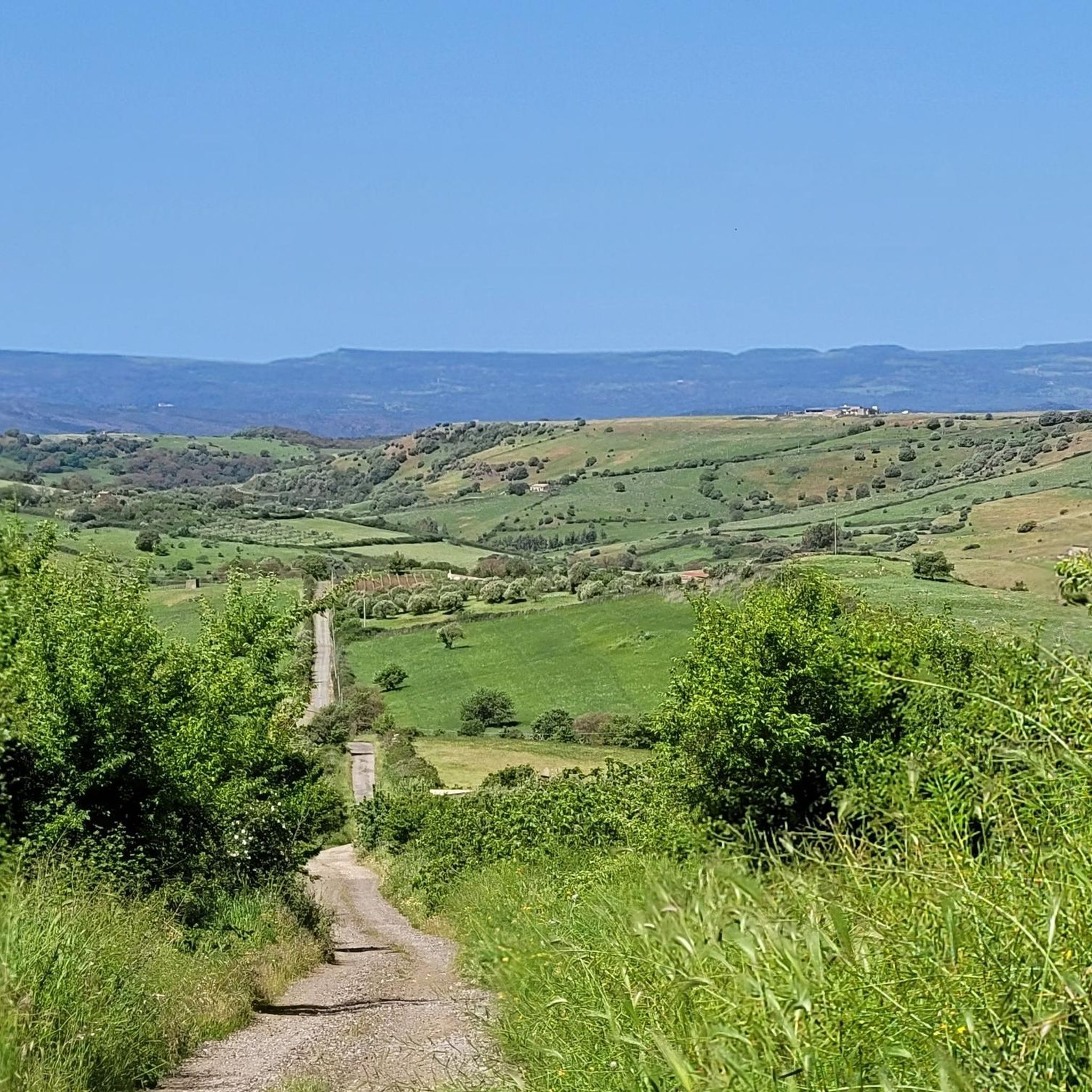
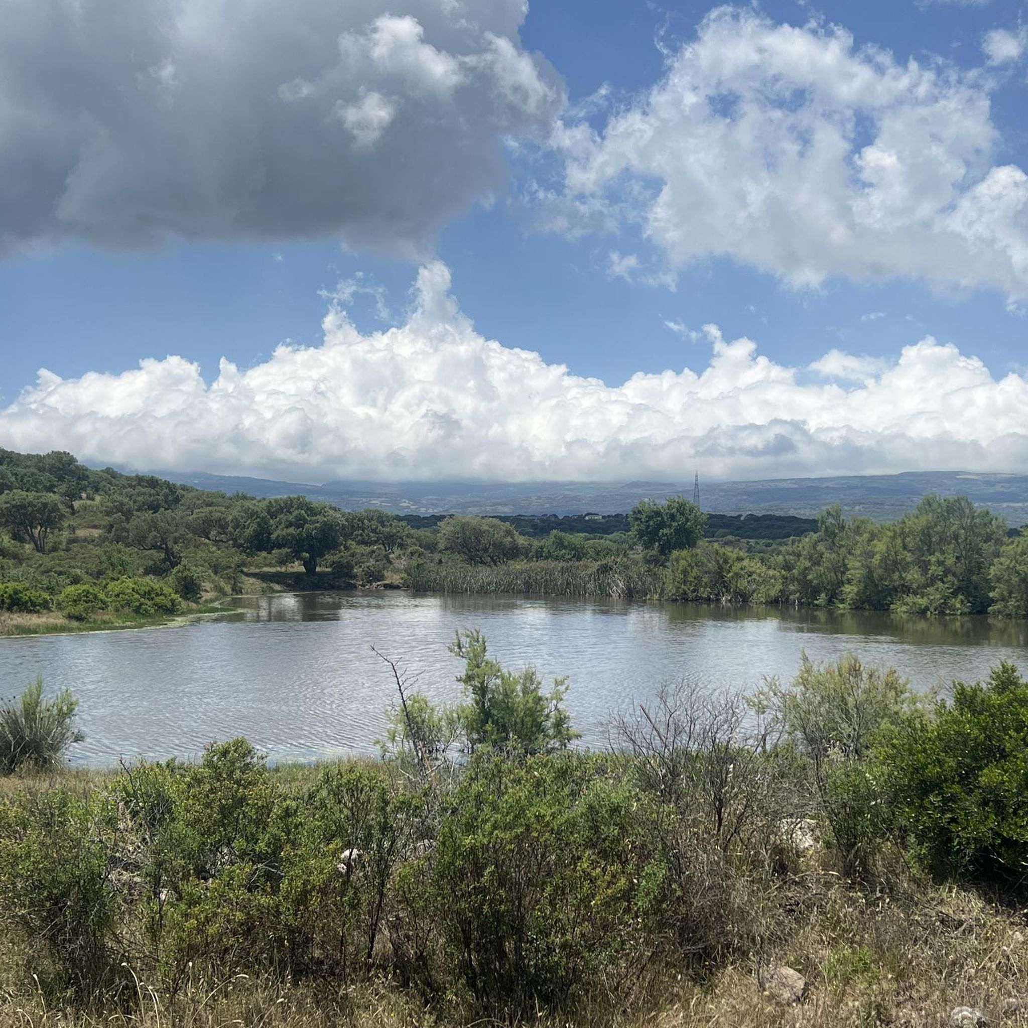
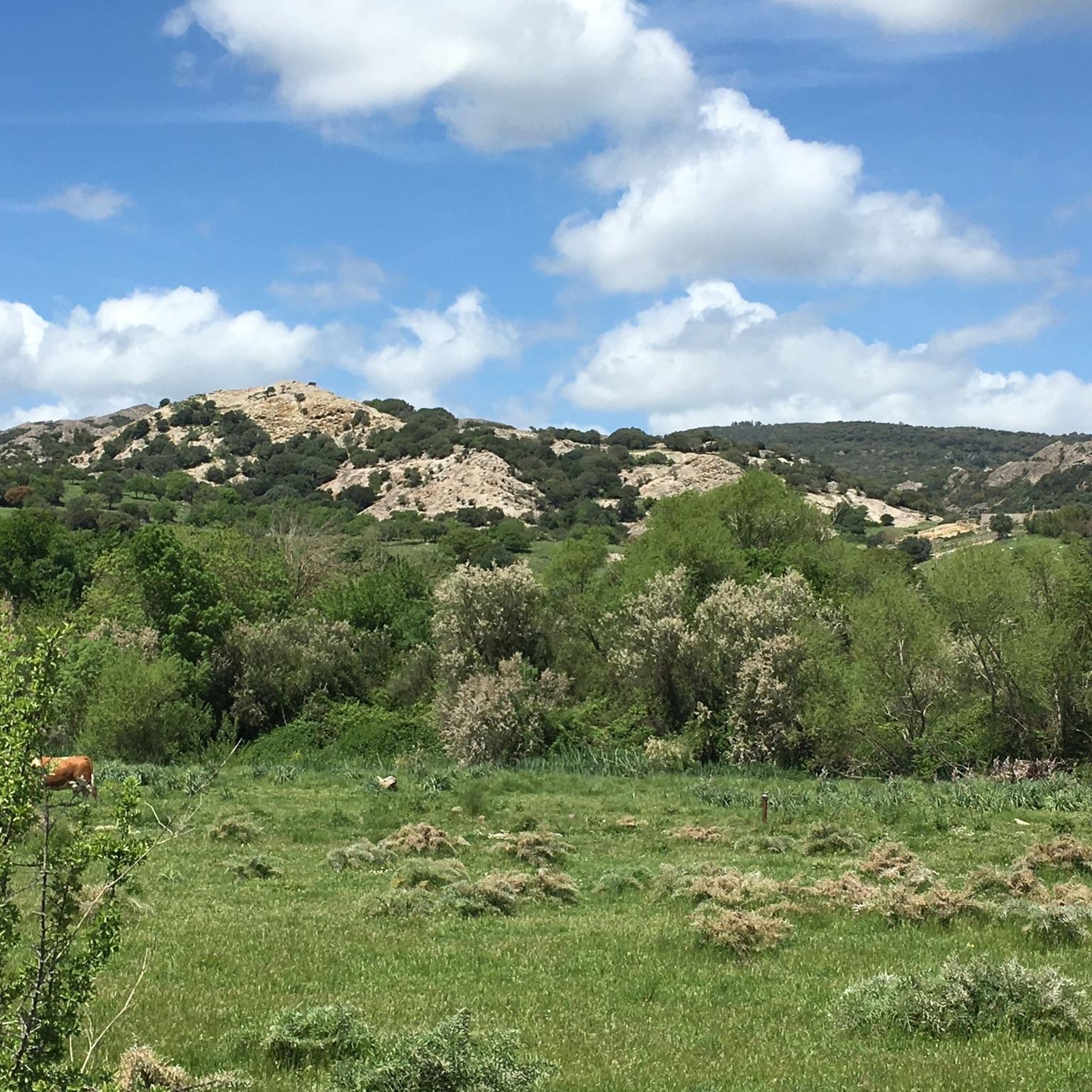
Mountain biking around Putumajore/Pozzomaggiore offers diverse terrain within a volcanic area of Sardinia. The landscape is characterized by basaltic and andesitic rocks, featuring truncated hills and low plateaus. Mediterranean scrub, cork oaks, and holm oaks define the natural environment, shaped by the mistral winds. This undulating topography provides varied routes with different elevations for off-road cycling.
Best mountain bike trails around Putumajore/Pozzomaggiore
- The most popular mountain bike trail is Mount Traessu – Santuario di Bonu Ighinu loop from Chiesa di…
Last updated: July 8, 2026
4.5
(2)
30
riders
Moderate mountain bike ride. Good fitness required. Advanced riding skills necessary.
5.0
(1)
6
riders
Moderate mountain bike ride. Good fitness required. Suitable for all skill levels.

Sign up for free
8
riders
30.2km
01:59
390m
390m
Moderate mountain bike ride. Good fitness required. Suitable for all skill levels.
6
riders
19.5km
01:23
310m
310m
Moderate mountain bike ride. Good fitness required. Advanced riding skills necessary.
3
riders
30.6km
02:41
660m
660m
Moderate mountain bike ride. Good fitness required. Suitable for all skill levels.
Our route recommendations are based on thousands of hikes, rides, and runs completed by other people on komoot.
Start today with a free account
Your next adventure awaits.
Login or Signup
Tips from the Community

The road is not paved for the last kilometer or so, before the Tower.
0
0

Beautiful narrow streets where you can spend time.
0
0

Narrow streets with restaurants and shops
1
0

you can also visit
0
1
beautiful alley in the middle of the old town
0
0
many restaurants around the square
0
0

Punta Foghe represents the spectacular result of millennia of natural erosion: the plateau extends down to the sea, forming a majestic cliff with islets and small coves that enrich the scene. A unique element is given by the river which, before flowing into the sea, moves, failing to erode the basalt of the cliff. At the center of this natural setting is the Foghe tower, a Spanish lookout structure built at the end of the 16th century and decommissioned in the mid-19th century. Built of basalt and red vulcanite ashlars, the tower integrates in a fascinating way with the surrounding environment. From the tower, there are great views, with other coastal towers visible along the coast.
3
0

Frequently Asked Questions
What is the typical terrain like for mountain biking in Putumajore/Pozzomaggiore?
The terrain in Putumajore/Pozzomaggiore is characterized by its volcanic origins, featuring basaltic and andesitic rocks, truncated hills, and low plateaus. You'll encounter varied elevations and a natural environment rich in Mediterranean scrub, cork oaks, and holm oaks, often shaped by the mistral winds. This creates a diverse and engaging landscape for off-road cycling.
Are there mountain bike trails suitable for beginners in Putumajore/Pozzomaggiore?
While many routes in the immediate area are rated moderate, there is an easy route available: the Bosa – Bosa Marina Beach loop from Bosa. This 9.7-mile (15.7 km) trail offers a gentler introduction to mountain biking in the region.
Are there challenging mountain bike routes for experienced riders?
Yes, for experienced riders seeking a challenge, the Church of San Lorenzo – San Pietro Church in Vincoli loop from Rumana/Romana is a difficult 41.2-mile (66.3 km) trail. It leads through rugged Sardinian landscapes and involves significant elevation changes, typically taking around 4 hours 29 minutes to complete.
What are the typical distances of mountain bike trails in the Putumajore/Pozzomaggiore area?
Mountain bike trails in the area vary in length. You can find routes ranging from approximately 9.7 miles (15.7 km), like the Bosa – Bosa Marina Beach loop from Bosa, up to longer options such as the Church of San Lorenzo – San Pietro Church in Vincoli loop from Rumana/Romana, which is 41.2 miles (66.3 km).
Are there any loop mountain bike routes available?
Yes, all the mountain bike routes highlighted in this guide are designed as loops, allowing you to start and finish at the same point. Examples include the Mount Traessu – Santuario di Bonu Ighinu loop from Chiesa di Santa Maria Iscalas and the Mountainbike loop from Monteleone/Monteleone Rocca Doria.
What historical or cultural sites can I explore while mountain biking in the region?
The region around Putumajore/Pozzomaggiore is rich in history. You can explore the historic center of Pozzomaggiore with stately homes like Palazzo Parpaglia, and churches such as the late Gothic parish church of San Giorgio Megalo. Nearby, you might encounter prehistoric settlements, including caves like Sa Rocca Boida and Tuvu 'e Mare, as well as Domus de Janas and menhirs. For specific attractions, consider visiting the Bosa Old Town or the Malaspina Castle in Bosa.
Are there any natural landmarks or viewpoints along the mountain bike trails?
Yes, the volcanic landscape offers several natural points of interest. You can find rock formations and caves in the Sardinian Highlands, and summits like Monte Sant'Antonio and Mount Traessu, which often provide panoramic views. The Mount Traessu – Santuario di Bonu Ighinu loop specifically features Mount Traessu.
What do other mountain bikers enjoy most about mountain biking in Putumajore/Pozzomaggiore?
The area is highly rated by the komoot community, with an average score of 4.75 stars from over 3 reviews. Reviewers often praise the varied terrain, the distinctive volcanic hills, and the natural vegetation, which provide a unique and engaging experience for off-road cycling.
What is the best time of year for mountain biking in Putumajore/Pozzomaggiore?
Given Sardinia's Mediterranean climate, spring (April-May) and autumn (September-October) generally offer the most pleasant conditions for mountain biking, with milder temperatures and less intense sun. Winter can also be suitable, though some trails might be wetter. Summers can be very hot, making early morning or late afternoon rides preferable.
Are there any places to explore near the mountain bike trails?
Beyond the trails, you can explore charming towns like Bosa, known for its colorful alleys and historic center. The region also has a strong equestrian tradition, and you can find prehistoric sites like the Tamuli Archaeological Site, offering cultural insights alongside your ride.
How many mountain bike trails are available in the Putumajore/Pozzomaggiore area?
There are a total of 5 mountain bike routes available in the Putumajore/Pozzomaggiore area, offering a range of distances and difficulties to explore the region's unique volcanic landscape.
Most popular routes around Putumajore/Pozzomaggiore
Most popular attractions around Putumajore/Pozzomaggiore

Get inspired with the komoot mobile app


Explore more
Browse the best MTB trails in other regions.
