The best running trails around Montorio Al Vomano
3.3
(35)
1,139
runners
75
runs
Jogging around Montorio Al Vomano offers diverse routes through the Gran Sasso e Monti della Laga National Park. The region is characterized by mountainous terrain, including significant elevation changes and alpine landscapes. Runners can explore trails that lead through valleys, past waterfalls, and towards mountain refuges. This area provides a challenging environment for those seeking demanding running experiences.
Best jogging routes around Montorio Al Vomano
- The most popular jogging route is Tre Rifugi SkyRace – Ultra Trail Gran Sasso,…
Last updated: October 11, 2026
3
runners
Hard run. Very good fitness required. Sure-footedness, sturdy shoes and alpine experience required.
5.0
(1)
74
runners
11.1km
01:31
540m
540m
Hard run. Very good fitness required. Sure-footedness, sturdy shoes and alpine experience required.

7
runners
17.6km
01:58
380m
380m
Hard run. Very good fitness required. Mostly paved surfaces. Suitable for all skill levels.
6
runners
18.3km
02:00
350m
350m
Hard run. Very good fitness required. Mostly paved surfaces. Suitable for all skill levels.
3
runners
4.89km
00:31
60m
60m
Easy run. Great for any fitness level. Mostly paved surfaces. Suitable for all skill levels.
Get access to more routes and recommendations from other explorers.
Already have an account?
Our route recommendations are based on thousands of hikes, rides, and runs completed by other people on komoot.
Start today with a free account
Your next adventure awaits.
Tips from the Community

A summer and winter tourist resort in the province of Teramo. Located above the village of Pietracamela. From the Prati di Tivo square, at an altitude of 1,450 meters, a four-seater chairlift and a two-seater chairlift ascend to Arapietra, 2,000 meters above sea level.
0
0
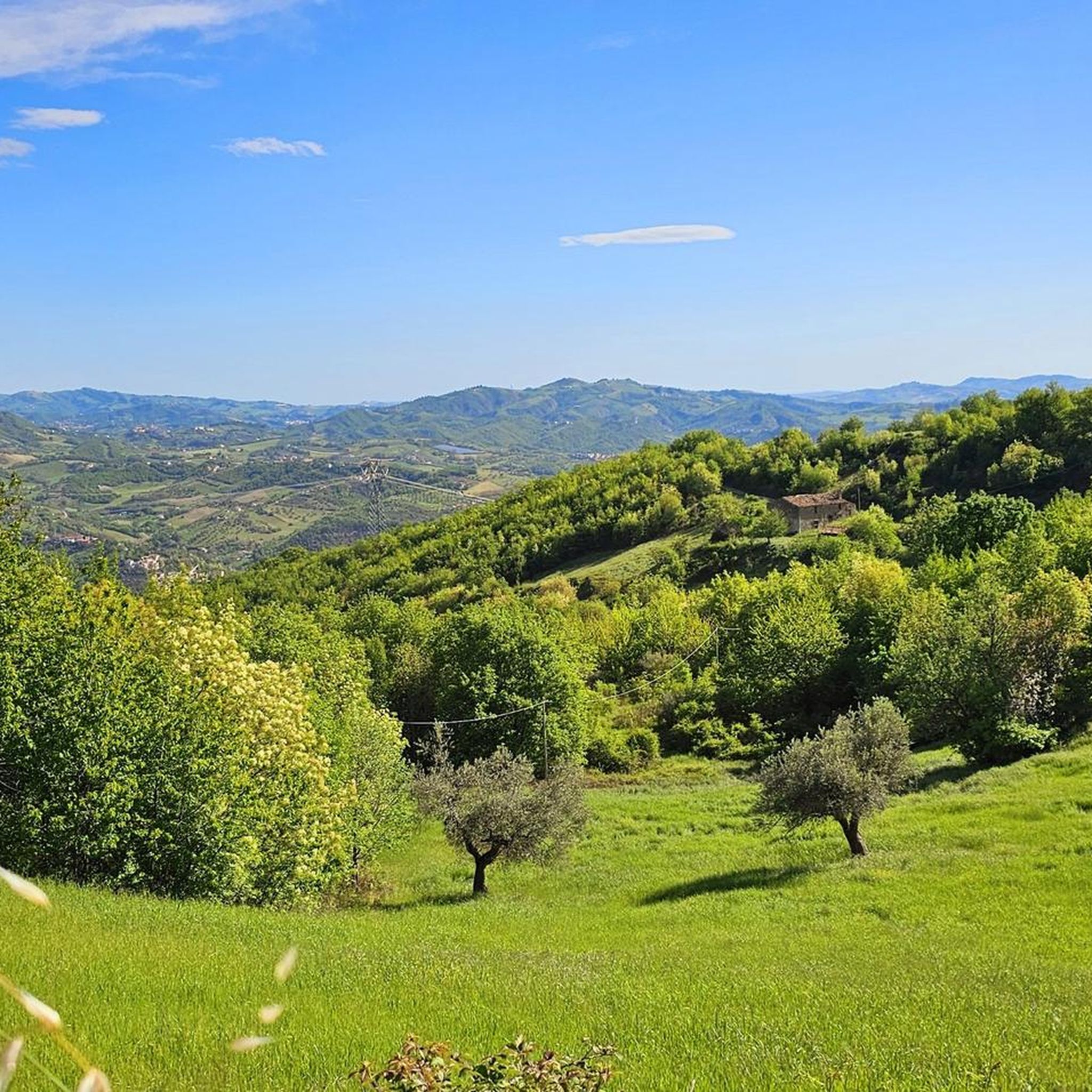
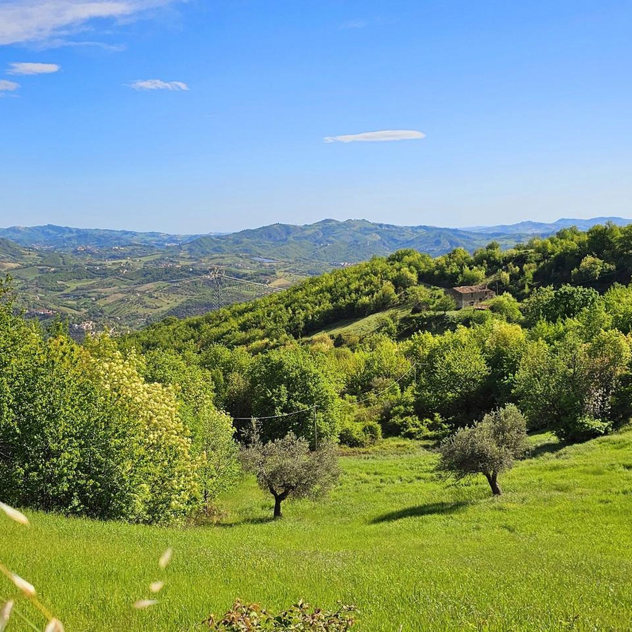
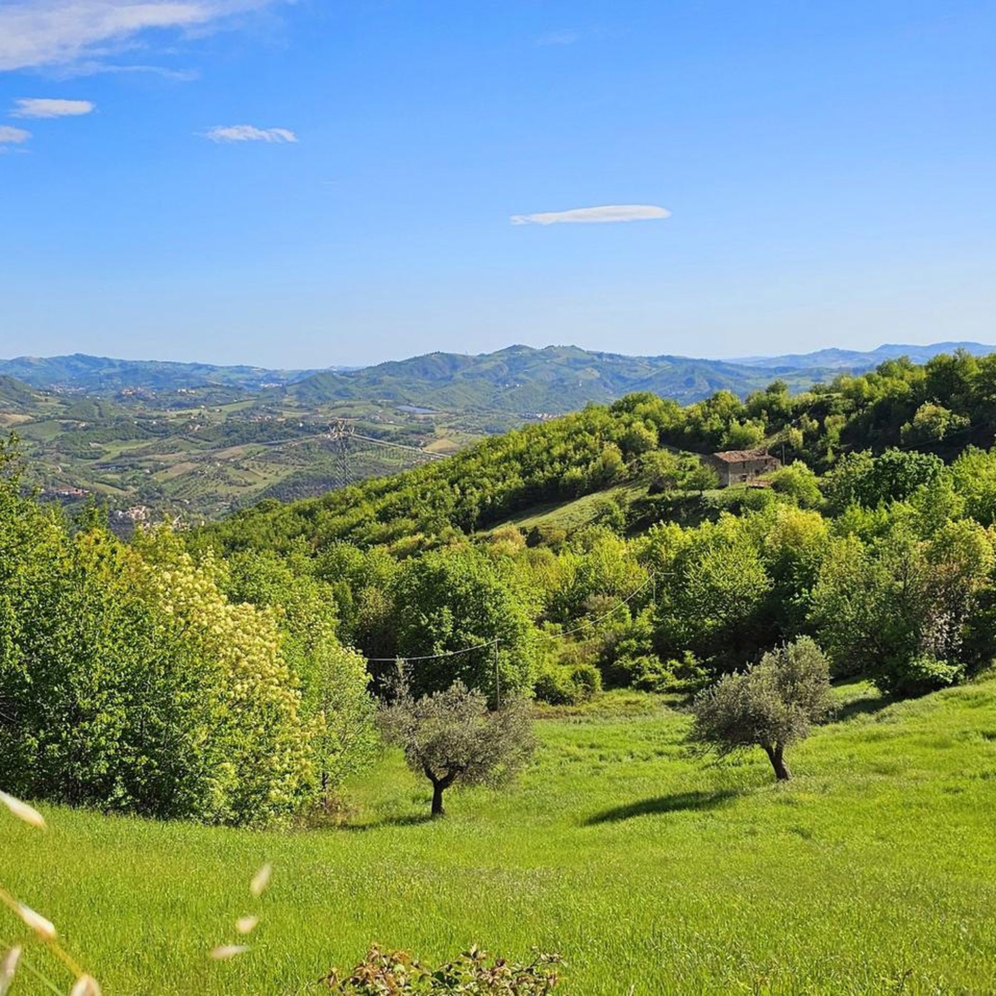
Montorio al Vomano is a town located at the foot of the Gran Sasso Monti della Laga Park, known as the “gateway to the Park”. It is nestled on the banks of the Vomano River and is rich in tradition and history. In addition to the characteristic historic center, we can observe the Church of the Zoccolanti, the Church of the Cappuccini, the Church of San Rocco. You must try the typical Montoriese bocconotto, a shortcrust pastry filled with jam.
0
0

very beautiful route, touristic and suitable for families
0
0

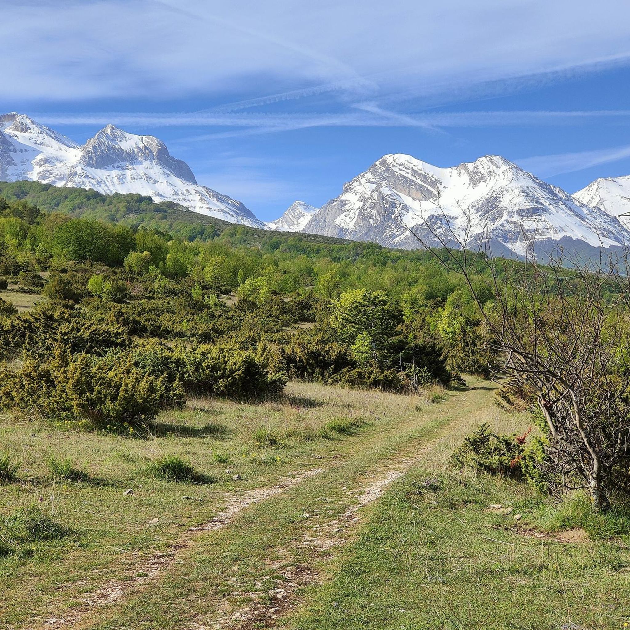
Prati di Tivo is a ski resort that attracts tourists all year round thanks to the privileged access to the most beautiful walks in the province of Teramo. From the village, surrounded by forests, you can in fact admire the highest peaks of the continental Apennines (Corno Grande first of all).
0
0

This is the beginning of the DH from Prati di Tivo to Pietracamella. From here you can enjoy a splendid view of the mountains that surround the area.
0
0
Prati di Tivo is a popular mountain resort in Abruzzo, located at the foot of the Gran Sasso massif. Known for its ski slopes in winter, it is also a starting point for summer excursions to the top of Corno Grande. A fascinating destination in every season. https://www.pratiditivo.it/
3
0
Prati Bassi, located near Prati di Tivo in Abruzzo, is characterized by vast open fields and a privileged view of the Corno Grande massif. The roads, all paved, make access easy and offer picturesque views of the surrounding natural beauty.
1
0

Prati di Tivo is located on the northern side of the Corno Piccolo slope and is an important tourist destination in Abruzzo. In winter you can practice cross-country skiing, alpine skiing and snowboarding; in summer hiking and mountaineering.
1
0
Frequently Asked Questions
How many running routes are available around Montorio Al Vomano?
There are over 60 running routes in the Montorio Al Vomano area, offering a wide range of options for different skill levels. You'll find everything from easier paths to very challenging mountain runs.
Are there any easy or beginner-friendly running routes in Montorio Al Vomano?
While the region is known for its mountainous terrain, there are 5 easy running routes available. These provide a good starting point for beginners or those looking for a less strenuous run amidst the beautiful landscapes of the Gran Sasso e Monti della Laga National Park.
What kind of elevation gain can I expect on running routes in this area?
Running routes around Montorio Al Vomano are characterized by significant elevation changes. Many trails feature substantial climbs, with some, like the Tre Rifugi SkyRace – Ultra Trail Gran Sasso, involving over 1800 meters of ascent, making them ideal for those seeking a challenging mountain running experience.
Are there running trails that lead to waterfalls in Montorio Al Vomano?
Yes, the region offers beautiful running routes that take you to waterfalls. For example, the trail From Pietracamela to Cascate Rio Arno leads directly through the national park to the stunning Rio Arno waterfalls.
What are some notable landmarks or points of interest I might see while running?
The running routes often pass by significant natural and historical landmarks. You might encounter mountain refuges like the Garibaldi Hut, or enjoy views from summits such as Corno Grande Western Summit and Monte Aquila Summit. The area also features unique spots like the Passage Behind the Waterfall.
Are there any circular running routes available?
Yes, there are several circular running routes. An example is the Rio Arno Waterfalls – Prati di Tivo loop from Pietracamela, which offers a scenic return to your starting point.
What do other runners enjoy most about jogging in Montorio Al Vomano?
The area is highly rated by the komoot community, with an average score of 3.7 stars. Runners often praise the challenging mountainous terrain, the stunning alpine scenery, and the opportunity to explore the Gran Sasso e Monti della Laga National Park, with trails leading to waterfalls and mountain refuges.
Are there any running routes suitable for families?
While many routes are challenging, the 5 easy routes available can be suitable for families looking for a less demanding outdoor experience. It's always recommended to check the specific route details for distance and elevation to ensure it matches your family's fitness level.
What is the best time of year for running in Montorio Al Vomano?
The best time for running generally depends on the specific route and your preference. Summer offers warmer weather for high-altitude trails, while spring and autumn provide milder temperatures and vibrant scenery in the lower valleys. Winter running is possible but may require specialized gear due to snow and ice in higher elevations.
Can I find running routes that offer panoramic views?
Absolutely. The mountainous landscape of Montorio Al Vomano provides numerous opportunities for panoramic views. Routes ascending towards mountain huts, such as Rifugio Garibaldi from Prati di Tivo, often reward runners with breathtaking vistas of the surrounding alpine scenery and valleys.
Are there options for longer, more challenging trail runs?
Yes, Montorio Al Vomano is an excellent destination for experienced trail runners seeking a challenge. Many routes are classified as difficult, with significant distances and elevation gains. The Tre Rifugi SkyRace – Ultra Trail Gran Sasso, for instance, is nearly 30 km long with over 1800 meters of ascent, designed for endurance and high-mountain running.
Most popular attractions around Montorio Al Vomano

Get inspired with the komoot mobile app


Explore more
Browse the best Running Trails & Routes in other regions.
