The best road cycling routes around Castelluccio Dei Sauri
5.0
(4)
78
riders
17
rides
Road cycling around Castelluccio Dei Sauri offers diverse landscapes in the foothills of the Apulian sub-Apennines. The region features a mix of well-paved roads, with some routes incorporating unpaved segments, providing panoramic views of the Tavoliere plain and the Monti Dauni. Cyclists can explore the Carapelle River valley and experience the characteristic olive groves and Mediterranean greenery of Puglia. The area provides varied terrain and elevation gains suitable for different fitness levels.
Best road cycling routes around Castelluccio Dei Sauri
…Last updated: July 4, 2026
1
riders
48.8km
02:19
490m
490m
Moderate road ride. Good fitness required. Mostly well-paved surfaces and easy to ride.
107km
04:53
1,000m
1,000m
Hard road ride. Very good fitness required. Mostly well-paved surfaces and easy to ride.

Sign up for free
5.0
(1)
12
riders
77.7km
04:06
1,450m
1,450m
Hard road ride. Very good fitness required. Mostly well-paved surfaces and easy to ride.
5.0
(1)
9
riders
47.8km
02:40
1,030m
1,030m
Hard road ride. Very good fitness required. Mostly well-paved surfaces and easy to ride.
8
riders
69.0km
03:37
1,250m
1,250m
Hard road ride. Very good fitness required. Mostly well-paved surfaces and easy to ride.
Get access to more routes and recommendations from other explorers.
Sign up for free
Already have an account?
Our route recommendations are based on thousands of hikes, rides, and runs completed by other people on komoot.
Start today with a free account
Your next adventure awaits.
Login or Signup
Popular around Castelluccio Dei Sauri
Tips from the Community

Monteleone di Puglia, the highest municipality in the region at 842 meters above sea level, offers one of the most picturesque viewpoints in the Daunia region. The village is intimate and welcoming, with cobbled alleys, small squares, and views overlooking cultivated hills and winding ridges. Strolling through the center, you'll find fountains, arches, and panoramic views that invite you to pause for a moment.
1
0
Savignano Irpino dominates the Cervaro Valley from a rocky spur, with a compact historic center and sweeping views of the hills that mark the border between Campania and Puglia. The climb to reach it is arduous, but the arrival is rewarded with evocative views, stone alleys, and the silhouette of the aqueduct bridge, one of the village's symbols.
0
0
One of the most iconic climbs in Irpinia: a steady climb from the Cervaro valley floor up to the village, perched on a scenic ridge. The gradient is steady but challenging, ideal for testing your climbing pace. It's a historic section of the Mediofondo Primavera, often raced against the clock, but also perfect for taking it at your own pace to enjoy the views of the valley and the mountains between Campania and Puglia.
0
0

Even today the square is crossed by flocks of sheep who renew their transhumance
0
0

the highest town in Puglia is not far from the province of Avellino and Campania
0
0

Candela is a picturesque town located in the southern Dauni mountains, with its historic center rising on the hills of San Rocco and San Tommaso. The municipal territory, between the Carapelle and Ofanto rivers, marks the end of the Pescasseroli-Candela sheep track, an ancient grassy transhumance route 211 km long. With a population of 2,495 inhabitants, Candela is a municipality in the province of Foggia, in Puglia. A place where history and nature blend, offering a fascinating perspective on the southern Dauni mountains.
1
0

A beautiful painted bench overlooking the town of Orsara di Puglia
1
0

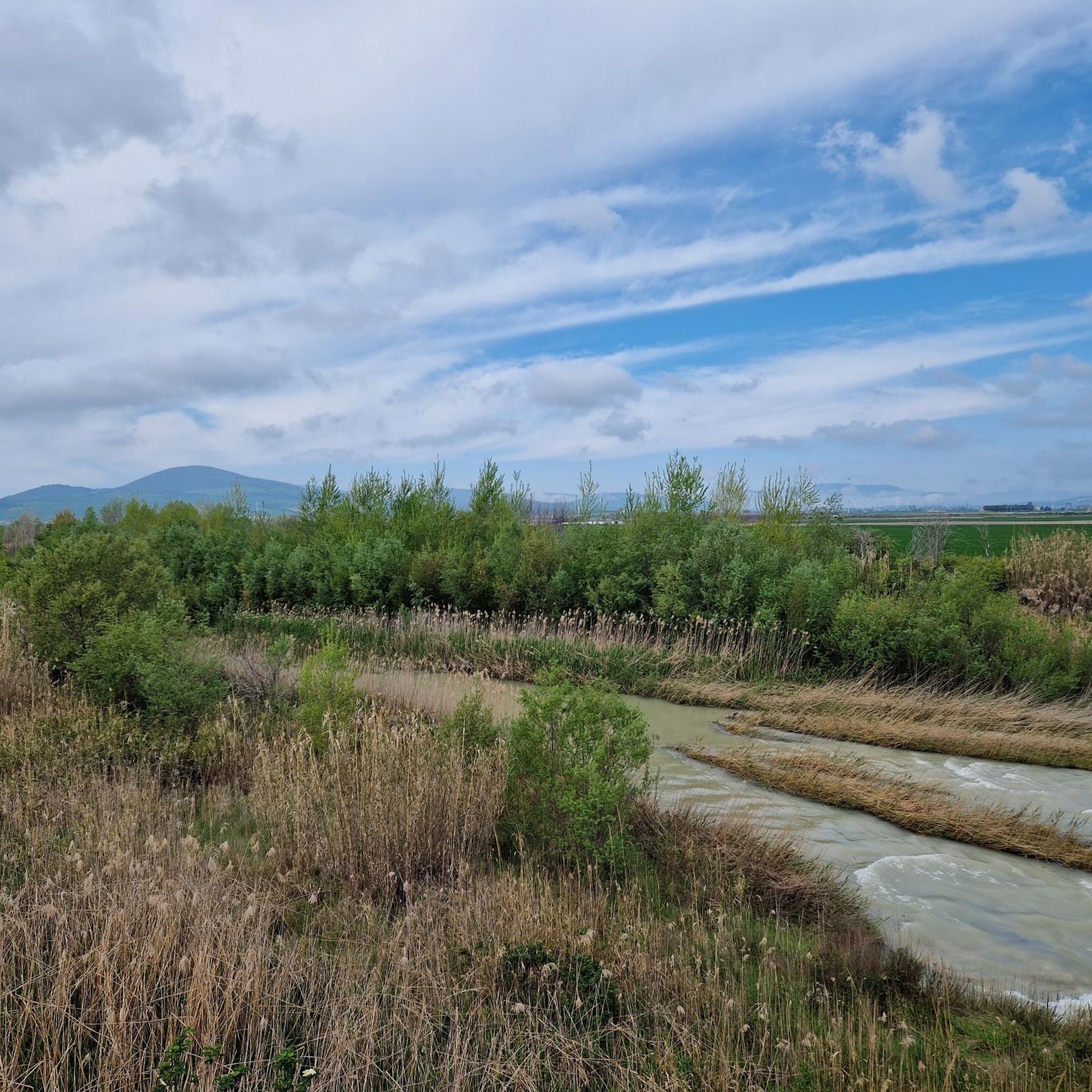
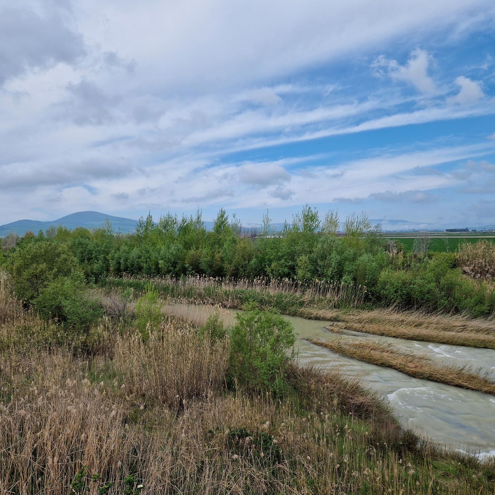
The Capacciotti dam in the Tavoliere delle Puglie was built in the 1950s to regulate the course of the Ofanto river and irrigate the surrounding countryside. Thus it gave rise to Lake Capacciotti, an artificial basin that has become an important ecological corridor between the Adriatic coast and the Apennine mountains, and which hosts a rich biodiversity, especially of migratory birds.
1
0
Frequently Asked Questions
How many road cycling routes are available around Castelluccio Dei Sauri?
There are over 10 road cycling routes around Castelluccio Dei Sauri, offering a diverse range of experiences. These routes are highly rated by the komoot community, with an average score of 5.0 stars.
What kind of terrain and views can I expect on road cycling routes in Castelluccio Dei Sauri?
The region offers diverse landscapes, from the foothills of the Apulian sub-Apennines to panoramic views of the Tavoliere plain and the Monti Dauni mountains. You'll find a mix of well-paved roads, with some routes incorporating unpaved segments, and characteristic olive groves and Mediterranean greenery, especially when exploring the Carapelle River valley.
Are there road cycling routes suitable for beginners in Castelluccio Dei Sauri?
Yes, there are routes suitable for various fitness levels. While many routes feature significant elevation gains, there are also moderate options. For example, the Ascoli Satriano and Castelluccio dei S route is classified as moderate, covering 30.3 miles (48.8 km) with manageable elevation changes, making it a good choice for those looking for a less strenuous ride.
What are the most challenging road cycling routes for experienced riders?
For experienced riders seeking a challenge, the region offers several difficult routes with significant elevation gains. The Ofanto Valley and Lake Capacciotti Loop is a demanding 66.4 miles (106.8 km) path with nearly 1,000 meters of elevation gain. Another challenging option is the Bovino – Pasticceria Giannotti loop from Bovino-Deliceto, which covers 48.3 miles (77.7 km) and features over 1,400 meters of ascent through the Monti Dauni area.
Are there any circular road cycling routes in Castelluccio Dei Sauri?
Yes, many of the road cycling routes in the area are designed as loops, allowing you to start and end in the same location. Examples include the challenging Ofanto Valley and Lake Capacciotti Loop and the Bovino – Pasticceria Giannotti loop from Bovino-Deliceto. Another moderate loop is the Deliceto – Bovino loop from Ippodromo dei Sauri, which is 43.6 km long.
What can I see or visit along the road cycling routes in Castelluccio Dei Sauri?
While cycling, you'll experience the natural beauty of the Monti Dauni and the Carapelle River valley. Nearby attractions include the Sanctuary of the Incoronata and the town of Ascoli Satriano. The region also features historical landmarks and natural areas like Bosco Incoronata, offering points of interest to explore during your ride.
What is the best time of year for road cycling in Castelluccio Dei Sauri?
The region's Mediterranean climate generally makes spring and autumn ideal for road cycling, offering pleasant temperatures and lush landscapes. Summers can be hot, especially in the Tavoliere plain, so early morning rides are recommended during peak season. Winter cycling is possible, but some higher elevation routes in the Monti Dauni might be colder or have more variable weather conditions.
Are there any family-friendly road cycling options in the area?
While many routes involve significant elevation, families with older children or those comfortable with moderate distances can enjoy some of the less strenuous options. The Ascoli Satriano and Castelluccio dei S route, for instance, is a moderate 30.3 miles (48.8 km) ride that connects two towns, offering varied terrain and scenic views without extreme difficulty.
What do other road cyclists enjoy most about road cycling in Castelluccio Dei Sauri?
The komoot community highly rates the road cycling experience in Castelluccio Dei Sauri, with an average score of 5.0 stars. Cyclists often praise the diverse terrain, the panoramic views of the Tavoliere plain and Monti Dauni, and the opportunity to explore the characteristic Apulian landscapes, including olive groves and the Carapelle River valley.
Are there cafes or places to stop for refreshments along the routes?
The routes often pass through or near small towns and villages, such as Ascoli Satriano and Bovino, where you can typically find local cafes, bakeries, or trattorias to refuel and experience local hospitality. Planning your route with komoot allows you to identify potential stops along the way.
How long do road cycling routes in Castelluccio Dei Sauri typically take to complete?
Route durations vary significantly based on distance, elevation, and your cycling pace. A moderate route like Ascoli Satriano and Castelluccio dei S (48.8 km) typically takes around 2 hours and 18 minutes. More challenging routes, such as the Deliceto loop from Ascoli Satriano (62.5 km), can take closer to 3 hours, while longer, difficult loops might require 4 hours or more.
Most popular routes around Castelluccio Dei Sauri
Most popular attractions around Castelluccio Dei Sauri

Get inspired with the komoot mobile app


Explore more
Browse the best Road cycling routes in other regions.
