The best walks and hikes around Meana/Meana Sardo
4.4
(95)
413
hikers
22
hikes
Hiking around Meana/Meana Sardo offers a diverse landscape characterized by rolling hills, historical ruins, and natural water features. The region features a mix of forested areas and open terrain, providing varied scenery for outdoor activities. Elevation changes are generally moderate, making many trails accessible for different fitness levels. The area is known for its natural beauty and cultural heritage, which are often integrated into the hiking experience.
Best hiking trails around Meana/Meana Sardo
- The most popular hiking route is Aymerich…
Last updated: July 9, 2026
4.5
(11)
27
hikers
Easy hike. Great for any fitness level. Easily-accessible paths. Suitable for all skill levels.
4.7
(6)
17
hikers
Easy hike. Great for any fitness level. Easily-accessible paths. Suitable for all skill levels.

Sign up for free
5.0
(1)
10
hikers
Easy hike. Great for any fitness level. Easily-accessible paths. Suitable for all skill levels.
3
hikers
6.29km
01:45
120m
120m
Easy hike. Great for any fitness level. Easily-accessible paths. Suitable for all skill levels.
5
hikers
7.63km
02:07
130m
130m
Moderate hike. Good fitness required. Easily-accessible paths. Suitable for all skill levels.
Get access to more routes and recommendations from other explorers.
Sign up for free
Already have an account?
Our route recommendations are based on thousands of hikes, rides, and runs completed by other people on komoot.
Start today with a free account
Your next adventure awaits.
Login or Signup
Popular around Meana/Meana Sardo
Tips from the Community

Enormous monolith from which you can enjoy a fantastic view and great silence. There might be sheep grazing with dogs, but they just bark without getting close.
0
0

Monumental cedar tree
0
0
Village of medieval origins located in the Mandrolisai, home to the wine festival (in May) and an important textile tradition with carpets and traditional costumes.
0
0

Sardinia's largest urban park lies on the border between the provinces of Oristano and Nuoro, a botanical paradise of rare plants and a wonderful destination for nature lovers. In the historic area of Sarcidano there is a place where you can take beautiful walks along nature trails surrounded by countless plant species and medieval ruins: the Ayermich Park, a 22-hectare oasis that until 1990 was the property of the margraves, the feudal ones owners of this oasis of land. The creator of this nature reserve was Don Ignazio Ayermich Ripoli, a botanist who brought back rare plants from his numerous trips abroad from the mid-19th century. It is an unusual excursion since it is located in the heart of the town of Laconi, about 60 km from Oristano and 90 km from Cagliari. The walk takes you through alleys decorated with a fresh and lively atmosphere. It begins in a forest of oaks, olive groves and black locust trees, dotted with natural ponds, streams, waterfalls and ponds. As you venture deeper into the park you will see a wide variety of orchids, including native ones such as Ophris laconensis and Sarcidanis. Among the tree avenues are unusual forms of vegetation such as Pyracantha coccinea and Collectia cruciata, whose leaves resemble military aircraft, as well as exotic plants such as the majestic Lebanon and Himalayan cedar, trees of exceptional size. Then there are plants from not far away but not common plants such as the Corsican pine, the Fagus sylvatica, the southern magnolia and the Taxus baccata, known as the “tree of death”. Water is a recurring theme and a source of life for the park. It flows in abundance all year round, forming rivers that then fall, such as the Cascata Maggiore or "great waterfalls", one of the park's many attractions. Source: https://www.sardegnaturismo.it/en/explore/parco-aymerich
1
0
The parish church, dedicated to S. Ambrogio and, from 1952, also to S. Ignazio, was built in the 16th century in Gothic-Aragonese style in the heart of the historic center of Laconi. The facade, rebuilt in the 18th century, is preceded by a wide staircase, at the top of which opens a beautiful portal with high-relief decorations, above which there is a simple round rose window. The facade is completed by an elaborate tympanum with five towers, into which a rectangular window is embedded. A large octagonal dome stands out at the back. On the left side of the building stands the tall and massive square bell tower. The bell tower is lit by four ogival windows equipped with bells, while the upper part ends with a small, pointed dome with a cross. On the right wall of the building there is a large image of Saint Ignatius. Inside the church you can admire the chapel dedicated to the saint, whose walls have mosaic depictions of episodes from his life, as well as the baptismal font in which he was baptized. In the square in front of the building, a beautiful statue of Fra Ignazio was placed on a very high pedestal made of red trachyte. In addition to the church, the Museum of S. Ignazio can also be visited. Source: https://chiesedisardegna.weebly.com/laconi.html
0
0
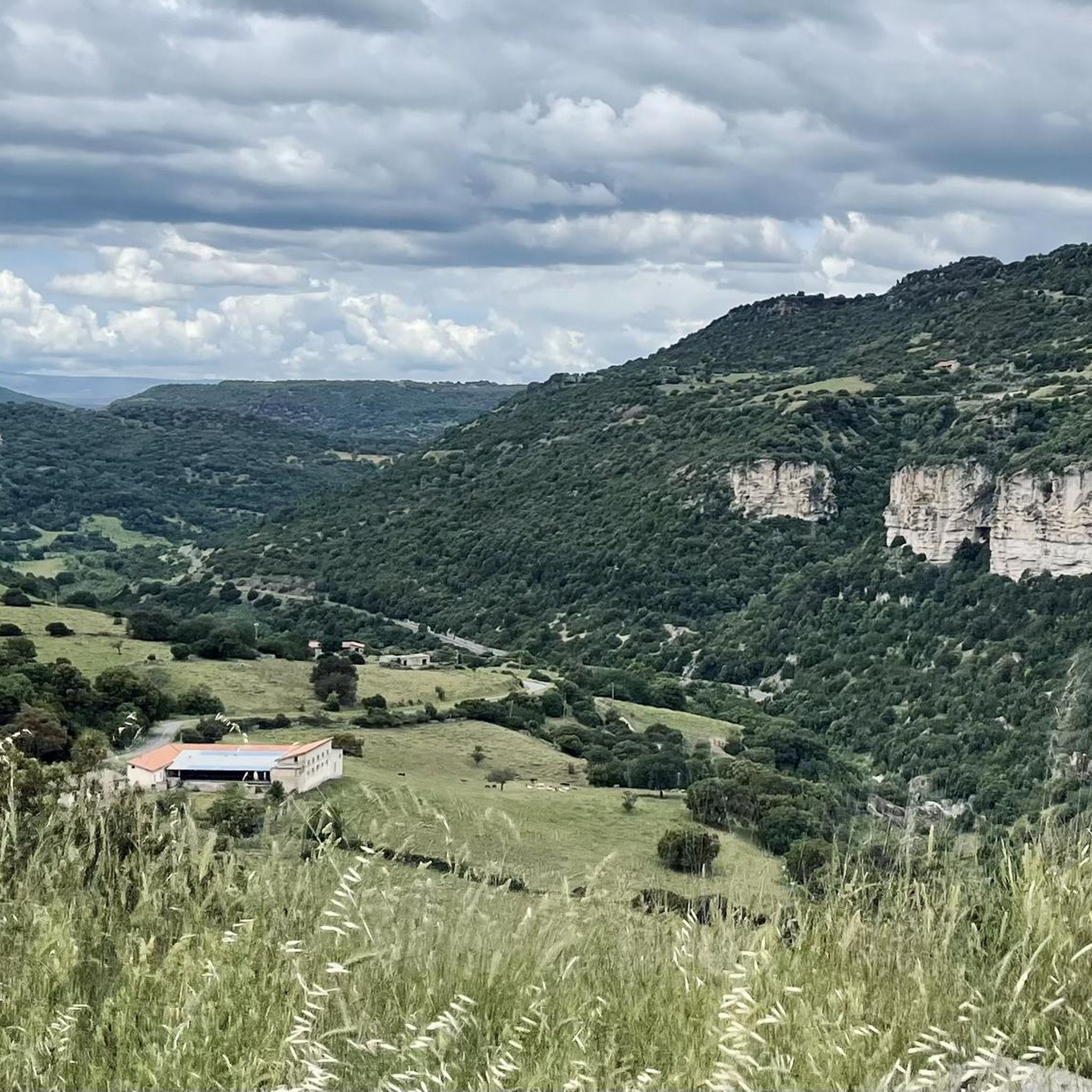
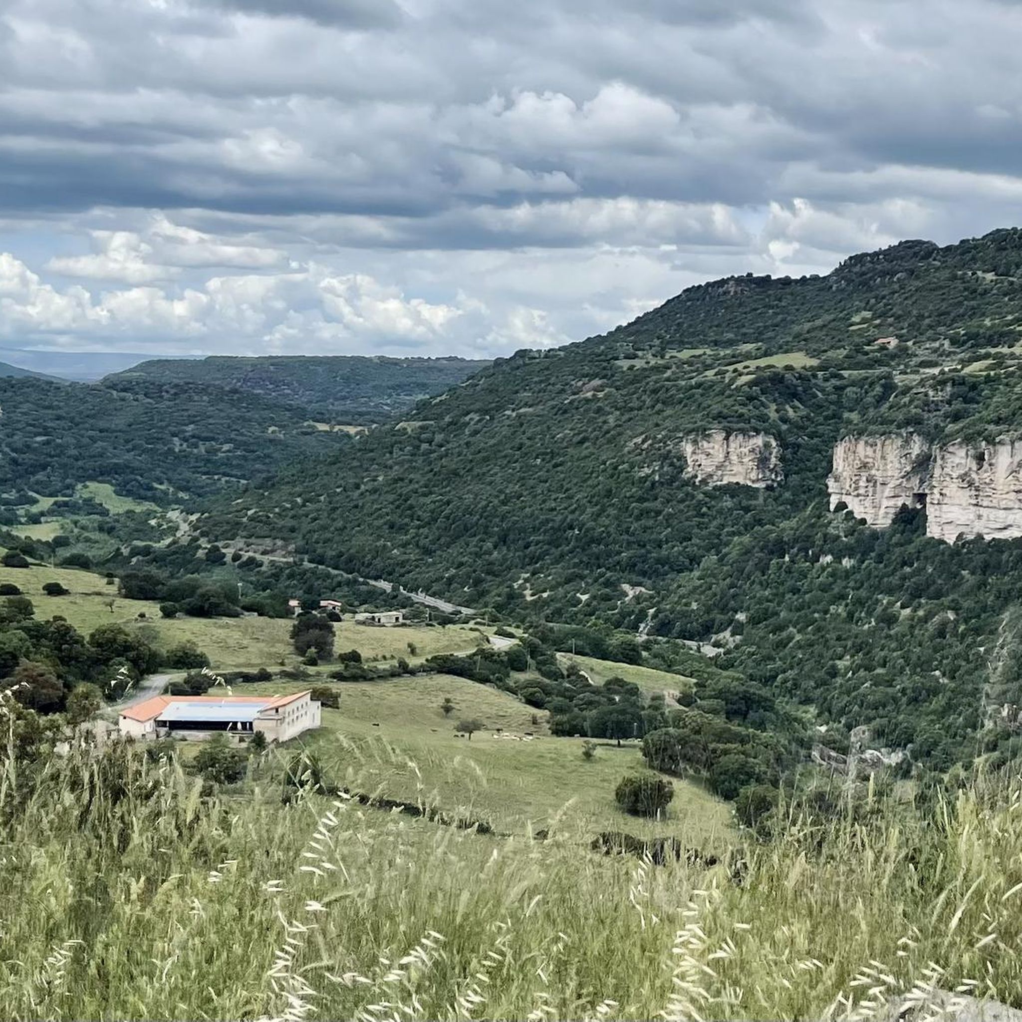
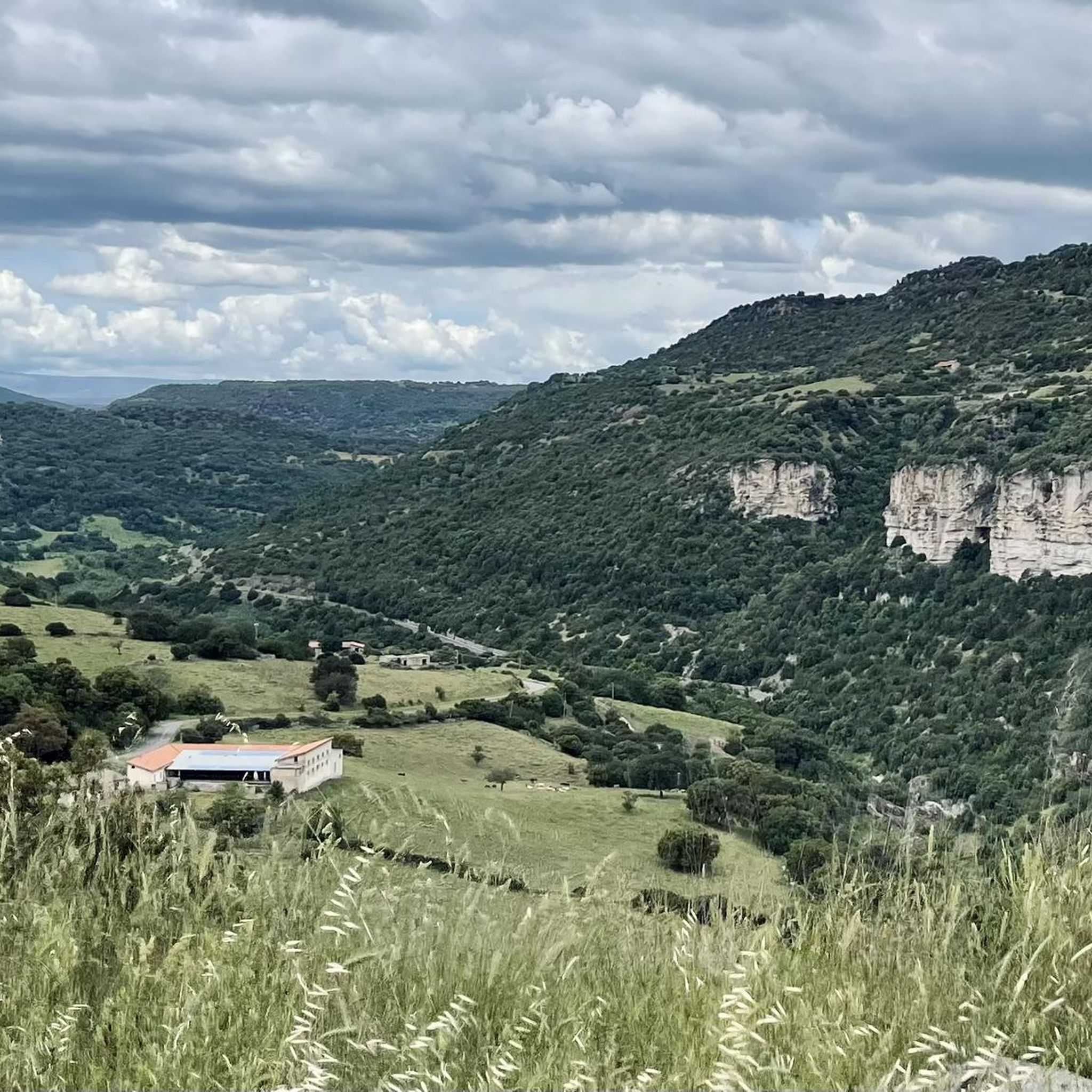
There are some great caves to discover here, some of which you can actually go into.
1
0
From the viewpoint you have a great view of Laconi. A bench invites you to take a break.
0
0
Really a great impressive tree!
0
0
Frequently Asked Questions
How many hiking trails are available around Meana/Meana Sardo?
There are over 15 hiking trails in the Meana/Meana Sardo region, offering a diverse range of experiences. These include routes suitable for various fitness levels, from easy walks to more challenging hikes.
Are there any family-friendly hiking options in Meana/Meana Sardo?
Yes, Meana/Meana Sardo offers several easy trails perfect for families. A great option is the Aymerich Main Waterfall – Ruins of Aymerich Castle loop from Làconi/Laconi. This 4.2-mile (6.7 km) route combines natural waterfalls with historical castle ruins, providing an engaging experience for all ages.
What kind of natural attractions can I expect to see on hikes in this region?
The Meana/Meana Sardo region is rich in natural beauty. You can discover stunning waterfalls like Cascata Maggiore, Aymerich Park and Funtana Is Arinus Waterfalls. The landscape also features rolling hills, forested areas, and unique natural monuments such as the Monumental Oriental Plane Tree, Aymerich Park.
Are there any challenging hikes for experienced trekkers?
While many trails are moderate, there are a couple of more challenging routes for experienced hikers. For example, the Grotta de Perdu loop from Grotta de Perdu is a moderate route with significant elevation gain, offering a more strenuous outing through varied terrain.
What is the best time of year to go hiking in Meana/Meana Sardo?
The region's diverse landscape with rolling hills and natural water features makes it enjoyable for hiking during spring and autumn when temperatures are milder. Summer can also be pleasant, especially on trails with good tree cover or near water features, but it's advisable to start early to avoid the midday heat.
Are there any circular hiking routes available?
Yes, many of the trails in Meana/Meana Sardo are designed as loops, allowing you to start and end at the same point without retracing your steps. Examples include the Grotta de Perdu loop from Chiesa Bauzzoni and the View of Monte Texile – Meseddu Texile Summit loop from San Cristolu.
What historical sites can be explored while hiking?
The region is rich in cultural heritage. Hikers can explore historical ruins such as the Ruins of Aymerich Castle, which are often integrated into hiking routes. The Ruins of Aymerich Castle – Aymerich Main Waterfall loop from Làconi/Laconi offers a direct path to these fascinating historical remnants.
Are there any trails with good viewpoints?
Absolutely. The View of Monte Texile – Meseddu Texile Summit loop from San Cristolu is specifically designed to lead to a summit viewpoint, offering panoramic vistas of the surrounding landscape.
What do other hikers say about the trails in Meana/Meana Sardo?
The hiking routes in Meana/Meana Sardo are highly rated by the komoot community, with an average score of 4.6 stars from over 80 reviews. Hikers often praise the diverse scenery, the combination of natural beauty with historical sites, and the well-maintained paths suitable for various skill levels.
Are there any facilities like picnic areas along the trails?
Yes, some areas are equipped with facilities for hikers. For instance, the Picnic Area and Plantaginum Velvetosa Spring offers a convenient spot to rest and enjoy a meal amidst nature.
What is the typical elevation gain on hikes in Meana/Meana Sardo?
Elevation changes in Meana/Meana Sardo are generally moderate, making many trails accessible. For example, an easy route like the Aymerich Main Waterfall – Ruins of Aymerich Castle loop from Làconi/Laconi has an elevation gain of around 198 meters, while a moderate one like the Grotta de Perdu loop from Chiesa Bauzzoni involves about 168 meters of ascent.
Most popular routes around Meana/Meana Sardo
Most popular attractions around Meana/Meana Sardo

Get inspired with the komoot mobile app


Explore more
Browse the best Hikes in other regions.
