The best running trails around Allerona
3.9
(8)
409
runners
73
runs
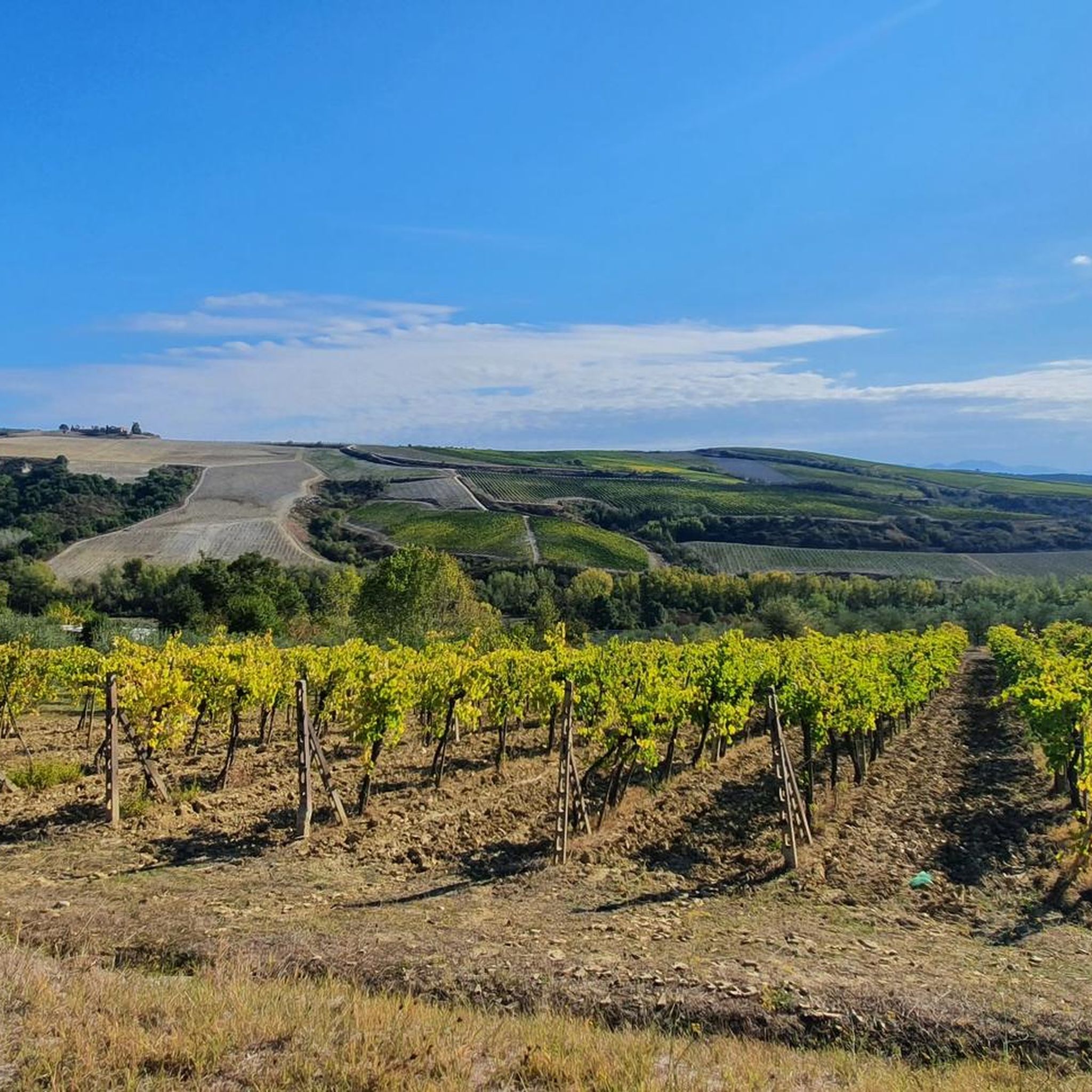
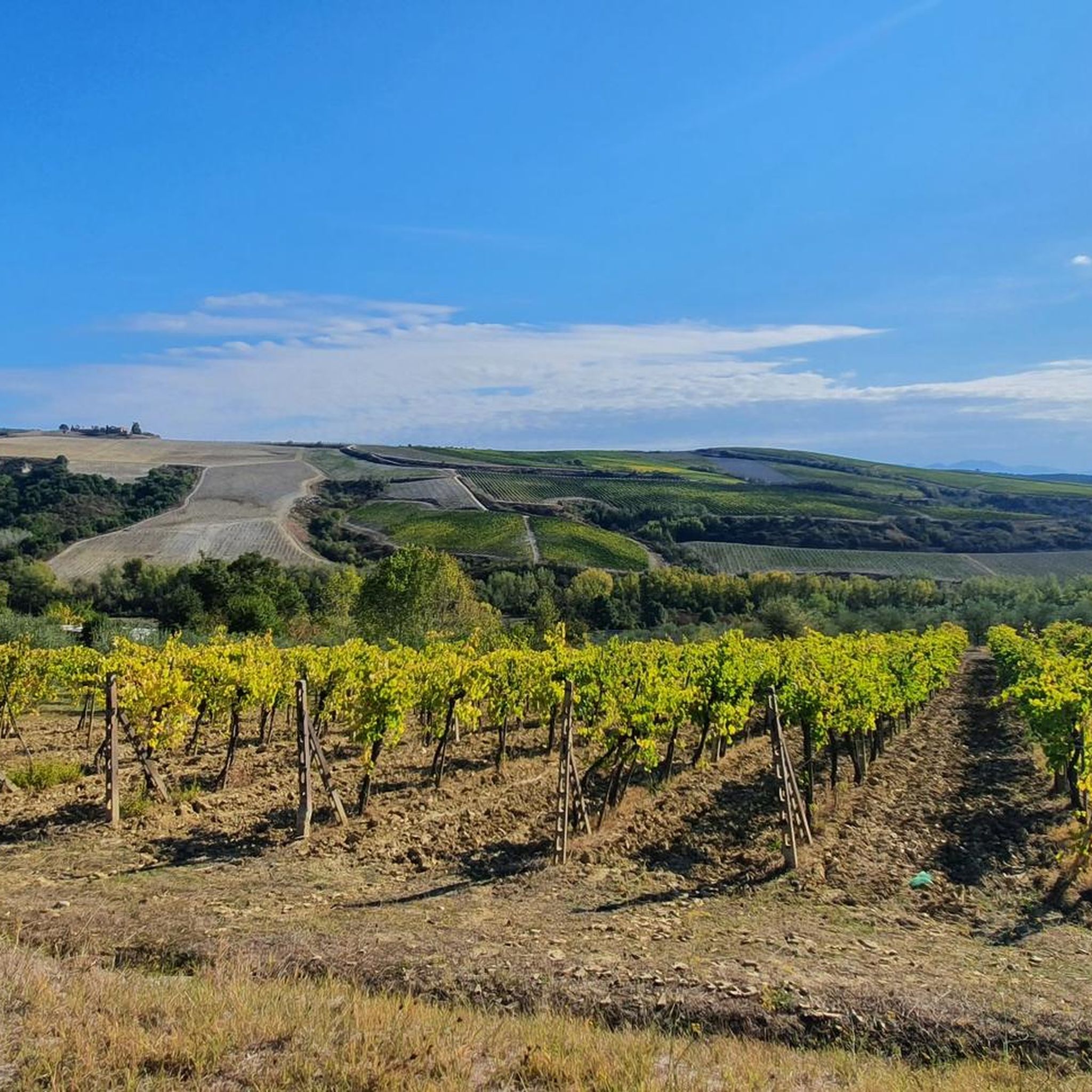
Jogging around Allerona offers a variety of routes through the Umbrian countryside, characterized by rolling hills and agricultural landscapes. The region features undulating terrain with moderate elevation changes, providing both challenging climbs and scenic descents. Many routes traverse rural roads and paths, often passing through small villages and offering views of the surrounding valleys.
Best jogging routes around Allerona
- The most popular jogging route is Tempio del Belvedere loop from Orvieto, a 5.5 miles (8.9 km) trail that takes…
Last updated: July 8, 2026
5.0
(1)
14
runners
8.32km
00:58
250m
250m
Moderate run. Good fitness required. Mostly paved surfaces. Suitable for all skill levels.
11
runners
14.7km
01:38
270m
270m
Moderate run. Good fitness required. Mostly paved surfaces. Suitable for all skill levels.

Sign up for free
12
runners
15.9km
01:51
400m
400m
Hard run. Very good fitness required. Mostly paved surfaces. Suitable for all skill levels.
6
runners
3.72km
00:25
90m
90m
Easy run. Great for any fitness level. Mostly paved surfaces. Suitable for all skill levels.
6
runners
9.17km
01:03
230m
230m
Moderate run. Good fitness required. Mostly paved surfaces. Suitable for all skill levels.
Get access to more routes and recommendations from other explorers.
Sign up for free
Already have an account?
Our route recommendations are based on thousands of hikes, rides, and runs completed by other people on komoot.
Start today with a free account
Your next adventure awaits.
Login or Signup
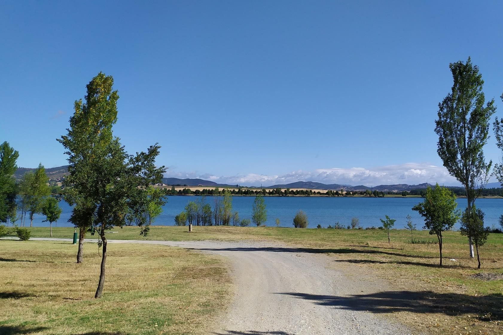
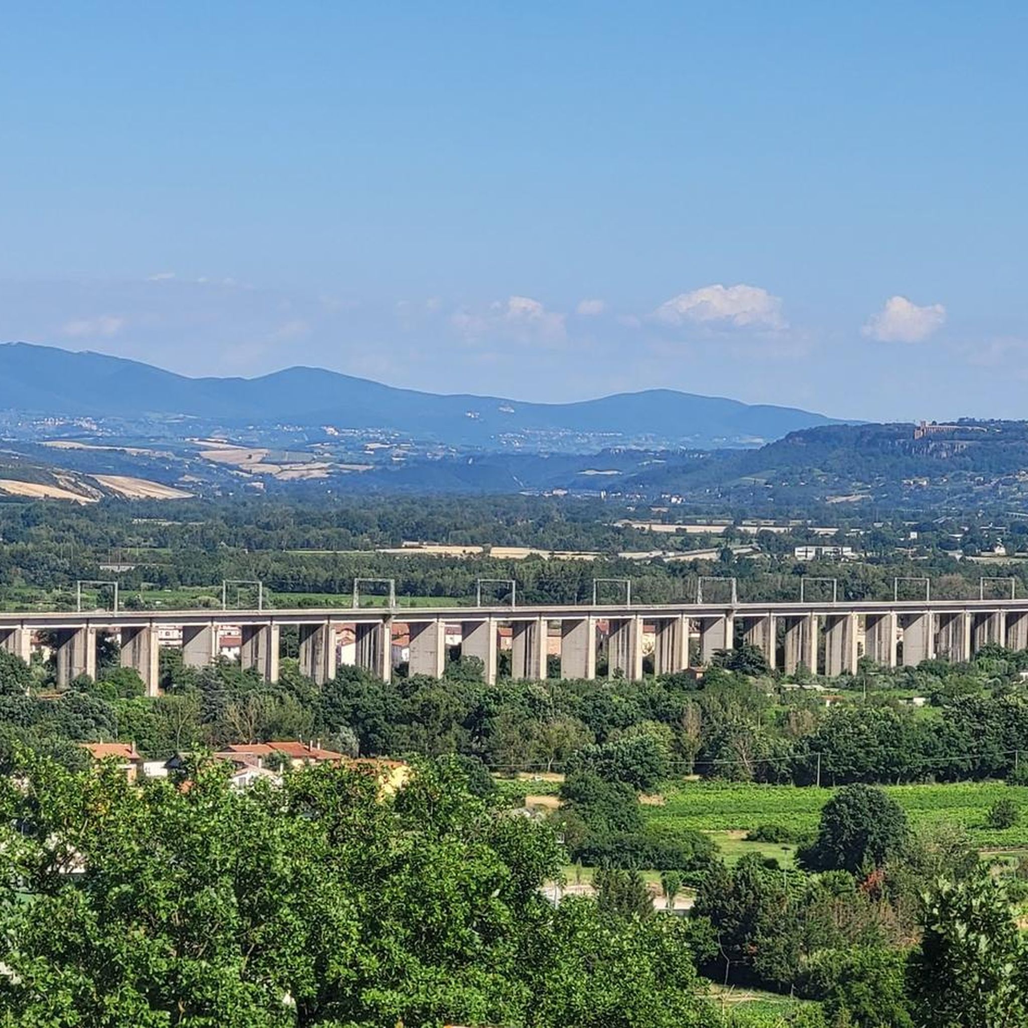
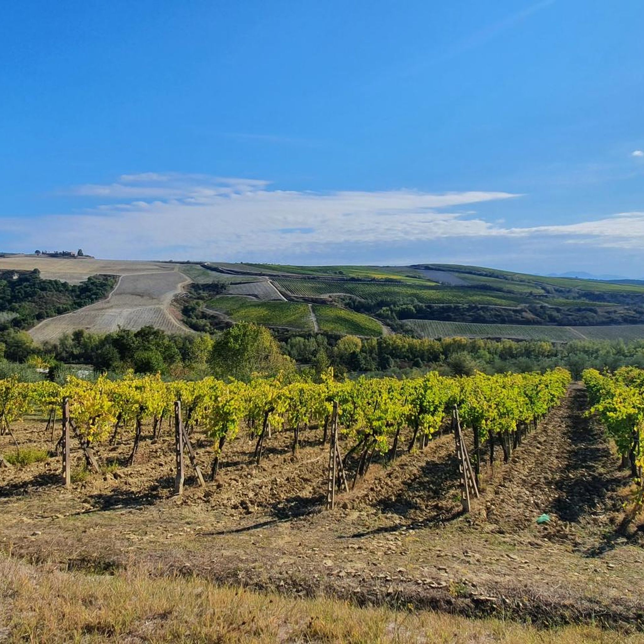
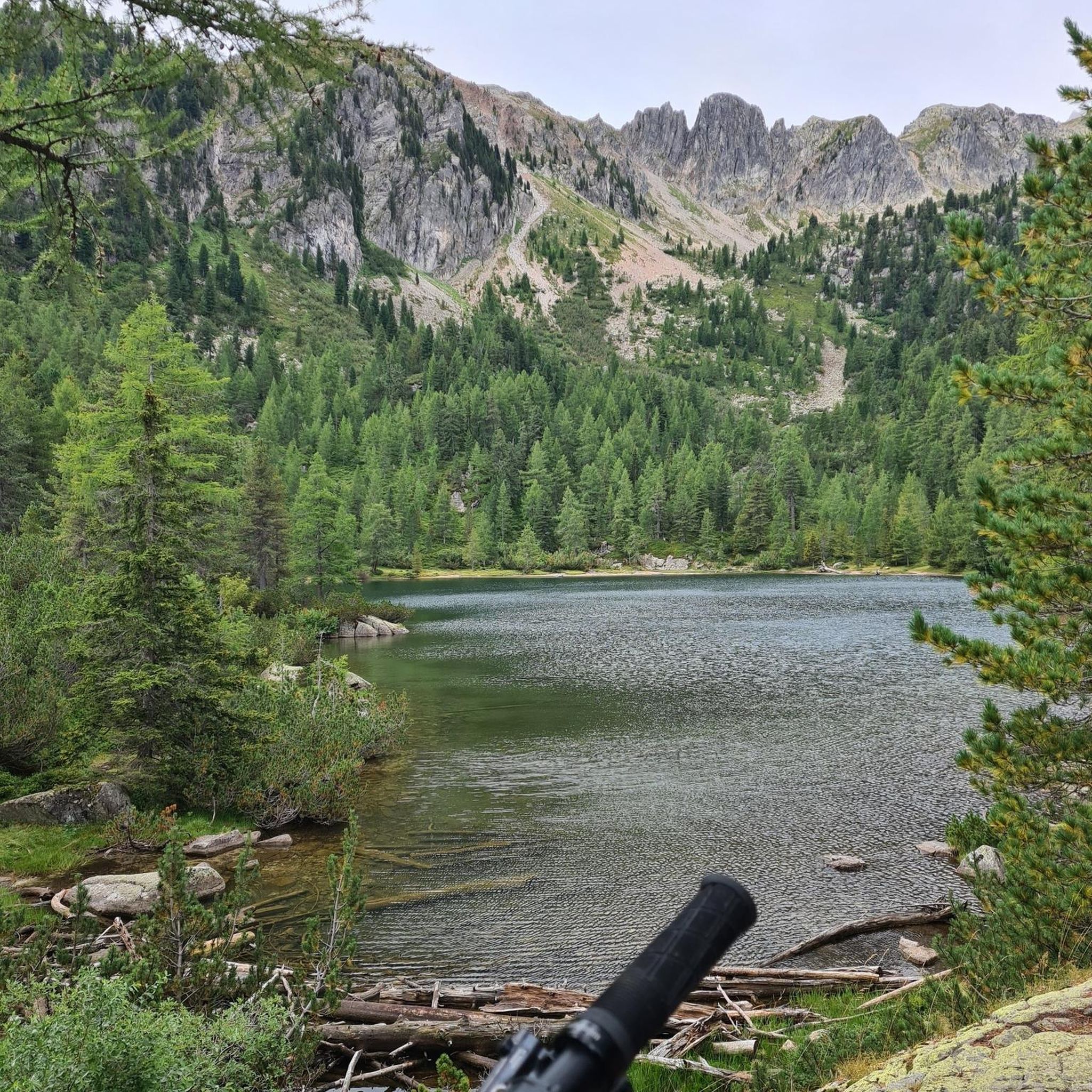
Other adventures around Allerona

Tips from the Community

Fonteverde is an elegant thermal complex located in San Casciano dei Bagni, immersed in the harmonious landscape of the Tuscan hills. Built on ancient Etruscan-Roman thermal baths, it combines the charm of history with contemporary comfort, offering panoramic pools fed by thermal waters rich in beneficial properties.
0
0
Le Stanze Cassianensi is an exhibition space in the heart of San Casciano dei Bagni dedicated to enhancing the history and recent archaeological discoveries of the territory. Here, some of the artifacts from the Santuario Ritrovato excavation campaign are showcased, offering visitors a first glimpse of this heritage of extraordinary importance.
0
0
The rediscovered Sanctuary of San Casciano dei Bagni is one of the most important archaeological finds of recent years. Located near ancient thermal springs, it was a sacred place for Etruscans and Romans for the healing properties of its waters. Extraordinary bronze statues, coins, and votive offerings have emerged from the pools, testifying to a rare example of continuity between Etruscan and Roman culture.
0
0

Beautiful village located on a panoramic hill on the slopes of Mount Cetona, at 582 meters above sea level, in the southernmost point of the province of Siena, where the last offshoots of the Tuscan hills and the engravings of the gullies connect with the landscape of Umbria and Lazio , close to the Cetona and Amiata mountains, and in view of the Trasimeno lakes, to the east, and Bolsena, to the south. Scenographic position, and also very favorable from a geographical point of view, having been for centuries a resting place for those moving between Rome and Florence (San Casciano is more or less halfway).
2
0

San Casciano dei Bagni is a town of 1,579 inhabitants in the province of Siena, Tuscany. It is part of the circuit of the most beautiful villages in Italy and boasts the Orange Flag tourism and environmental quality label awarded by the Italian Touring Club. It stands on a hill 582 meters above sea level, a short distance from the Val d'Orcia, the Valdichiana, and the summit of Mount Amiata, at the southeastern edge of the province of Siena. https://www.visittuscany.com/it/localita/san-casciano-dei-bagni/
1
1
Frequently Asked Questions
How many running routes are available around Allerona?
There are over 50 running routes available in the Allerona area, offering a wide range of options for different preferences and fitness levels.
What kind of terrain can I expect on jogging trails near Allerona?
Jogging around Allerona primarily features the Umbrian countryside, characterized by rolling hills and agricultural landscapes. You'll find undulating terrain with moderate elevation changes, traversing rural roads and paths, often passing through small villages and offering views of the surrounding valleys.
Are there easy jogging routes suitable for beginners in Allerona?
Yes, there are several easy running routes. For instance, the Running loop from Palazzone is an easy 3.7 km (2.3 miles) trail with minimal elevation gain, perfect for a relaxed run.
Can I find loop running trails in the Allerona area?
Many of the running routes around Allerona are designed as loops, allowing you to start and finish in the same location. An example is the Running loop from Fabro, a moderate 14.7 km (9.1 miles) path that explores the rural landscape.
What are some scenic running routes with viewpoints around Allerona?
For panoramic views, consider the Tempio del Belvedere loop from Orvieto. This moderate 8.9 km (5.5 miles) trail offers stunning vistas from the Belvedere, showcasing the beautiful Umbrian landscape.
Are there longer, more challenging running routes for experienced runners?
Absolutely. For those seeking a challenge, the Laghetto di Sugano – View of Sugano loop from Orvieto is a difficult 15.8 km (9.8 miles) route with significant elevation changes, providing a demanding workout through varied terrain.
What are some interesting places to explore near the running routes?
The region around Allerona is rich in history and culture. You can find landmarks like the impressive Orvieto Cathedral, the historic Albornoz Fortress, and the fascinating St. Patrick's Well, all within reach of various running trails.
Are the running trails in Allerona suitable for families?
Many of the easier and moderate routes, especially those on rural roads or well-maintained paths, can be suitable for families. The varied landscape offers engaging scenery for all ages, though specific routes should be chosen based on the family's fitness level and children's ages.
Are the running trails around Allerona dog-friendly?
Generally, the rural roads and paths in the Allerona countryside are dog-friendly. However, it's always advisable to keep dogs on a leash, especially when passing through villages or near agricultural areas, and to be mindful of local regulations and wildlife.
What do other runners enjoy the most about jogging in Allerona?
The running routes in Allerona are highly rated by the komoot community, with an average score of 4.3 stars. Reviewers often praise the diverse Umbrian countryside, the mix of challenging climbs and scenic descents, and the opportunity to explore charming small villages.
Is parking available near the running routes in Allerona?
While specific parking information isn't always detailed for every trail, most routes starting from towns or villages like Allerona, Orvieto, or Fabro will have public parking options available within the settlement or at designated trailheads in rural areas.
Can I reach running trails in Allerona using public transport?
Access to some starting points, particularly those in larger towns like Orvieto or Fabro, can be facilitated by public transport. However, many routes venture into the more rural parts of the Umbrian countryside, where public transport options may be limited, making a car often more convenient for reaching specific trailheads.
Most popular attractions around Allerona

Get inspired with the komoot mobile app


Explore more
Browse the best Running Trails & Routes in other regions.
