The best walks and hikes around Castell'Azzara
4.4
(659)
2,480
hikers
95
hikes
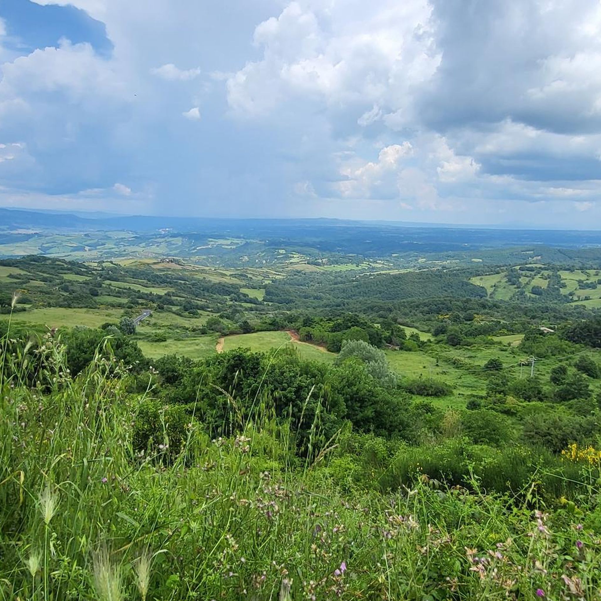
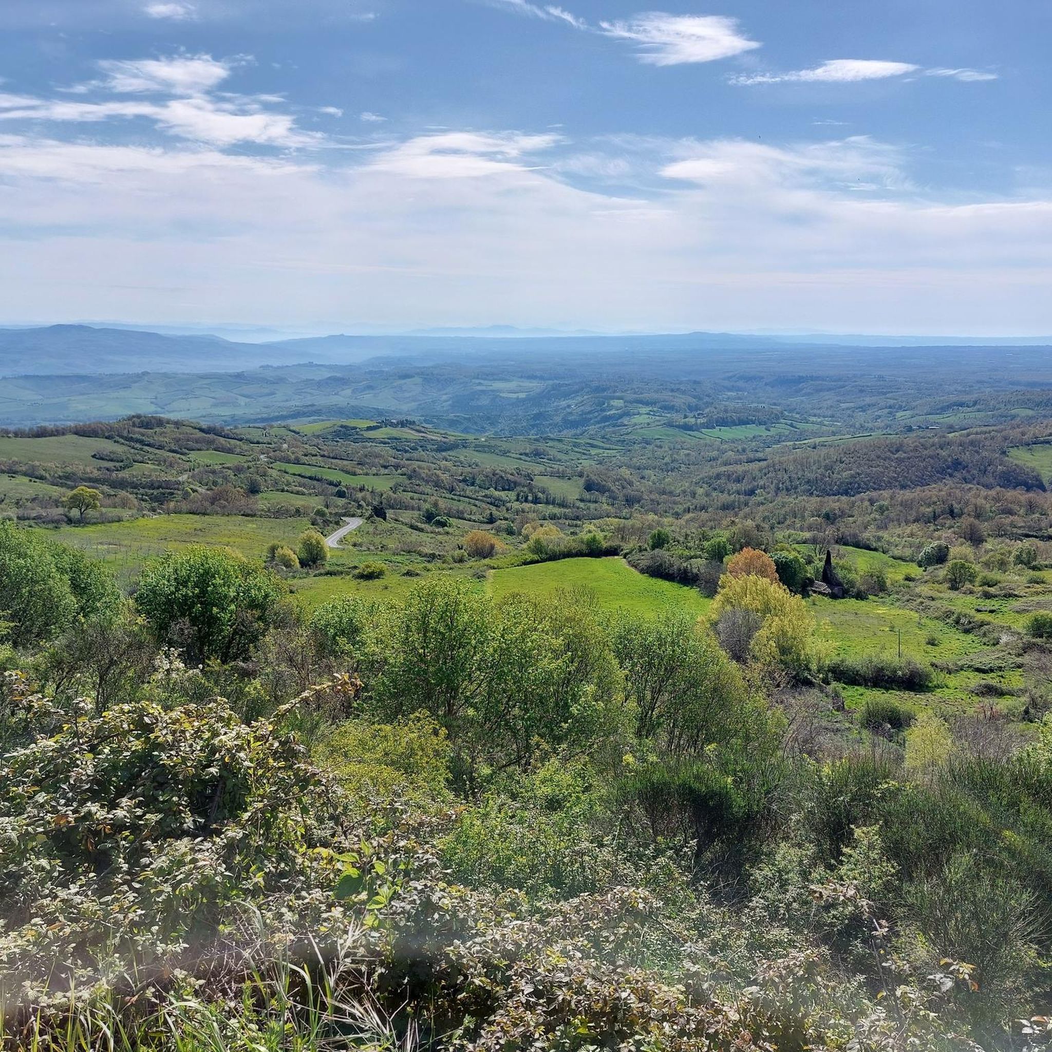
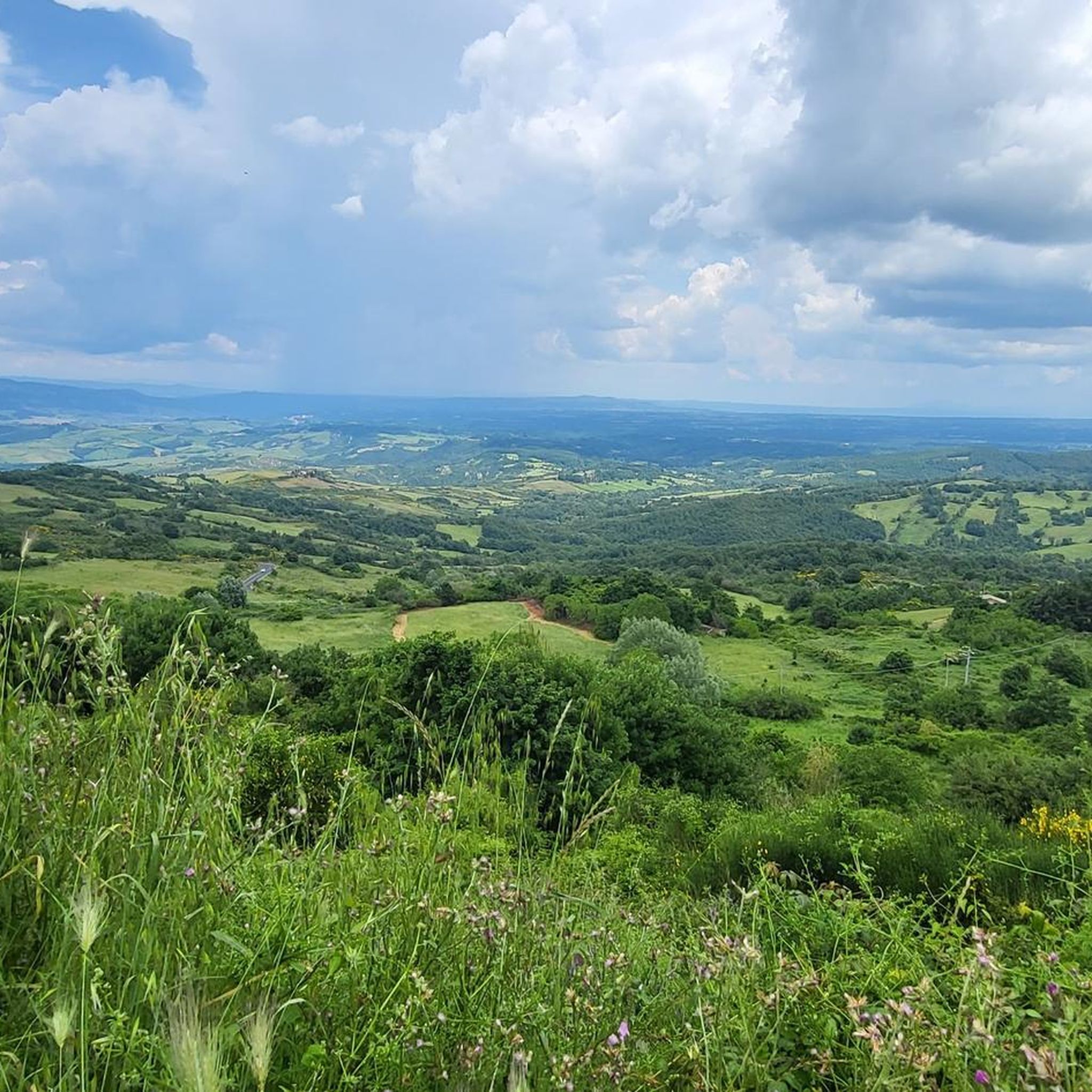
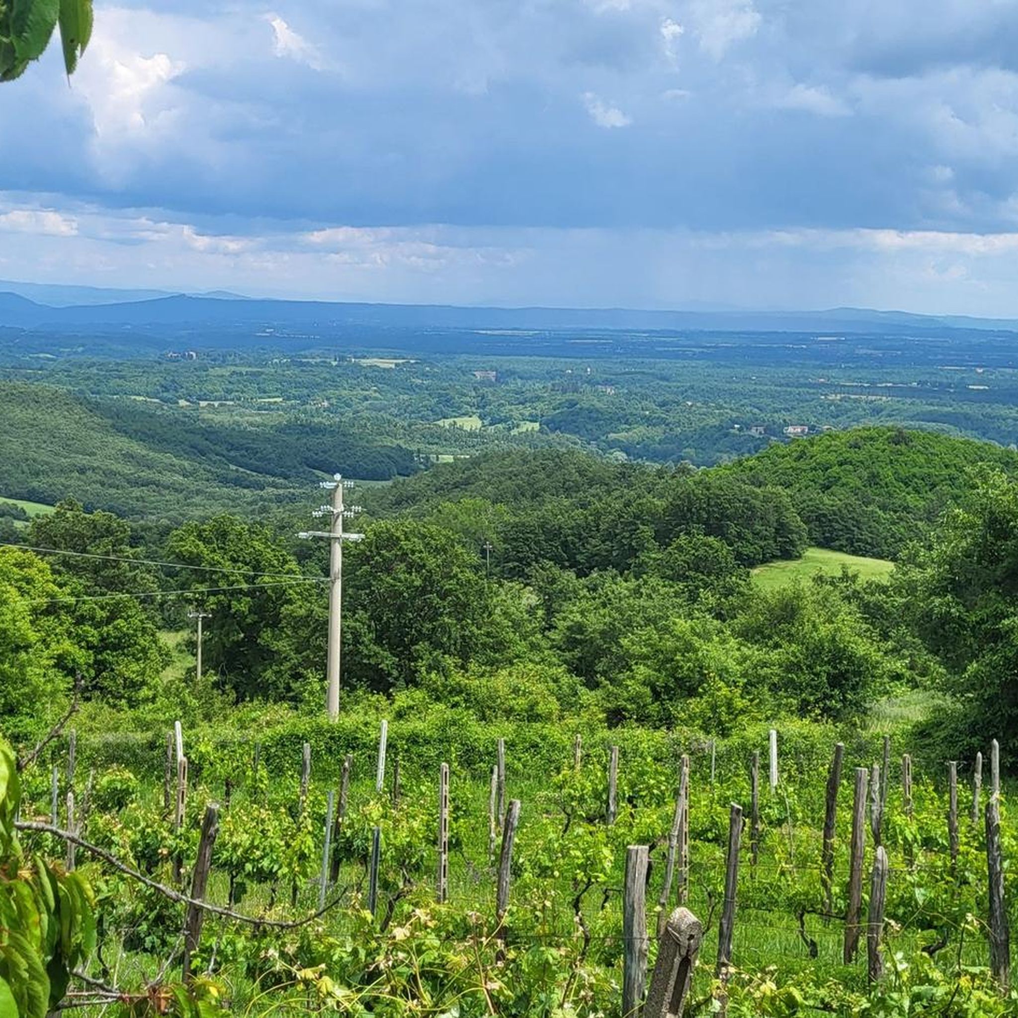
Hiking around Castell'Azzara offers varied terrain on the southern slopes of Monte Amiata, an ancient dormant volcano. The region is characterized by dense forests, including centuries-old beech and chestnut groves, and volcanic landscapes with scattered boulders. Trails often traverse rivers and natural springs, providing diverse natural features for exploration. The area extends towards the Tuff Area and the Paglia River valley, presenting a range of elevations and environments.
Best hiking trails around Castell'Azzara
- The most popular hiking route is Monte…
Last updated: October 11, 2026
4.6
(5)
22
hikers
18.6km
05:09
300m
340m
Hard hike. Very good fitness required. Easily-accessible paths. Suitable for all skill levels.
4.0
(1)
1
hikers
26.7km
08:11
900m
900m
Hard hike. Very good fitness required. Mostly accessible paths. Sure-footedness required.

4.4
(16)
40
hikers
5.90km
01:45
180m
180m
Easy hike. Great for any fitness level. Easily-accessible paths. Suitable for all skill levels.
2.5
(2)
24
hikers
22.0km
05:41
120m
120m
Hard hike. Very good fitness required. Easily-accessible paths. Suitable for all skill levels.
4.6
(5)
10
hikers
9.04km
02:38
240m
240m
Moderate hike. Good fitness required. Easily-accessible paths. Suitable for all skill levels.
Get access to more routes and recommendations from other explorers.
Already have an account?
Our route recommendations are based on thousands of hikes, rides, and runs completed by other people on komoot.
Start today with a free account
Your next adventure awaits.
Tips from the Community

It is a cozy space to have a coffee after a walk, chatting with the owners and of course enjoying sandwiches with our typical products: oil, honey, pork or wild boar cured meats, pecorino cheese. Local handicrafts such as ceramics and textiles can also be purchased.
0
0

Aside from Wednesday, the Trattoria is open daily for lunch from 12.00-14.30.
0
0
The river forms the border between Toscana and Lazio provinces. The old footbridge underneath the car bridge doesn't exist anymore, so stay in the road!
0
0


spring on the mountain ring
0
0

Canterbury would be only 1460 km from here, which is a bird's eye view. The Via Francigena is approximately 2500 km long. And Rome is not that far away anymore.
2
0

Pilgrim hospice in a not-so-old church and place to rest with fresh water.
1
0

Actually really great place. Unfortunately access is currently blocked. Unfortunately, we couldn't see any waterfalls from outside either. Maybe due to lack of water? We were there on September 12th, 2023.
1
1
Frequently Asked Questions
What kind of hiking trails can I expect around Castell'Azzara?
The region around Castell'Azzara offers a diverse range of hiking trails, from easy walks to more challenging treks. You'll find paths winding through dense forests, ancient volcanic landscapes with scattered boulders, and routes that traverse rivers and natural springs. The area is situated on the southern slopes of Monte Amiata, providing varied terrain and elevations.
How many hiking routes are there in Castell'Azzara?
There are over 80 hiking routes available around Castell'Azzara. This includes a good mix of difficulties, with nearly 30 easy trails, over 50 moderate options, and a few challenging routes for experienced hikers.
Are there any family-friendly hiking trails in Castell'Azzara?
Yes, Castell'Azzara offers several family-friendly trails. For an easy and scenic option, consider the Boulder of the Belvedere Trail loop from Santa Fiora, which is about 5.9 km long and features volcanic boulders and views of the surrounding landscape. Many of the region's easy trails are suitable for families.
Can I hike with my dog in Castell'Azzara?
The natural environment around Castell'Azzara, with its extensive forests and varied trails, is generally welcoming for dogs. While specific regulations may vary by nature reserve, many trails are suitable for hiking with dogs, provided they are kept under control. Always ensure you carry water for your pet and clean up after them.
What natural features or landmarks can I see while hiking?
Hiking around Castell'Azzara offers a wealth of natural and historical sights. You can explore dense forests, volcanic landscapes, and discover natural springs and rivers. A notable geological feature is the Grotta del Sassocolato, a system of sinkholes and caverns. You might also encounter historical mining sites. For specific points of interest, consider exploring highlights like the Via Cava di San Giuseppe or the ancient town of Sorano.
Are there any circular hiking routes in the area?
Yes, many trails around Castell'Azzara are circular, offering convenient starting and ending points. A well-known example is the Monte Amiata Loop from Santa Fiora, a challenging 26.7 km route with panoramic views. For a moderate option, the View of Tuscany and Umbria – Grotta del Sasso Colato loop from Castell'Azzara is a popular choice.
What is the best time of year to go hiking in Castell'Azzara?
Castell'Azzara is a great hiking destination throughout the year. Spring brings lush greenery and wildflowers, while summer offers cool shade in the dense forests. Autumn is particularly stunning, as the beech and chestnut groves transform into a vibrant display of colors, making it a 'paradise for foliage lovers'. Even winter can be beautiful, especially on Monte Amiata's slopes.
Are there any nature reserves nearby that I can hike in?
Yes, the area is home to protected natural spaces. The Monte Penna Nature Reserve, located between Selvena and Castell'Azzara, features dense woods and rises. Additionally, the Pigelleto Nature Reserve is known for its silver fir forests and historical quicksilver mines, offering immersive nature walks like the 'Sentiero del Tasso' (Yew Trail).
What do other hikers say about the trails in Castell'Azzara?
The routes in Castell'Azzara are highly rated by the komoot community, with an average score of 4.4 stars from over 450 reviews. Hikers often praise the varied terrain, the beauty of the dense forests, and the unique volcanic landscapes. Many appreciate the options available for different skill levels.
Is parking available at the trailheads?
While specific parking information varies by trailhead, Castell'Azzara and its surrounding villages generally offer parking facilities. It's advisable to check the starting point of your chosen route for the most convenient parking options, especially when planning to hike from town centers or popular attractions.
Can I reach hiking trails using public transport?
Castell'Azzara is a small town, and while local bus services connect it to some larger centers, direct public transport to all trailheads might be limited. For many routes, especially those starting directly from Castell'Azzara or nearby villages, public transport can be an option. However, for more remote starting points, a car might offer greater flexibility.
Most popular routes around Castell'Azzara
Most popular attractions around Castell'Azzara

Get inspired with the komoot mobile app


Explore more
Browse the best Hikes in other regions.
