The best road cycling routes around Roccastrada
4.6
(303)
6,789
riders
57
rides
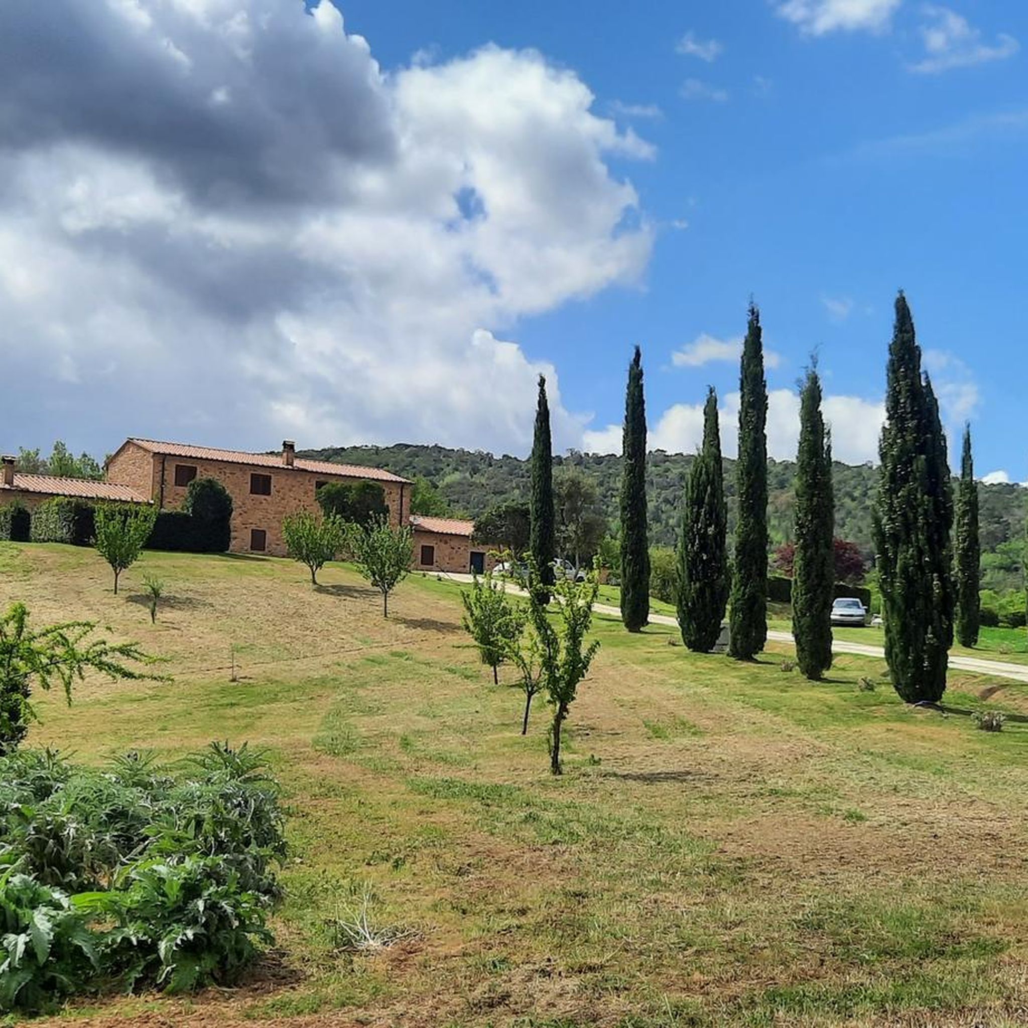
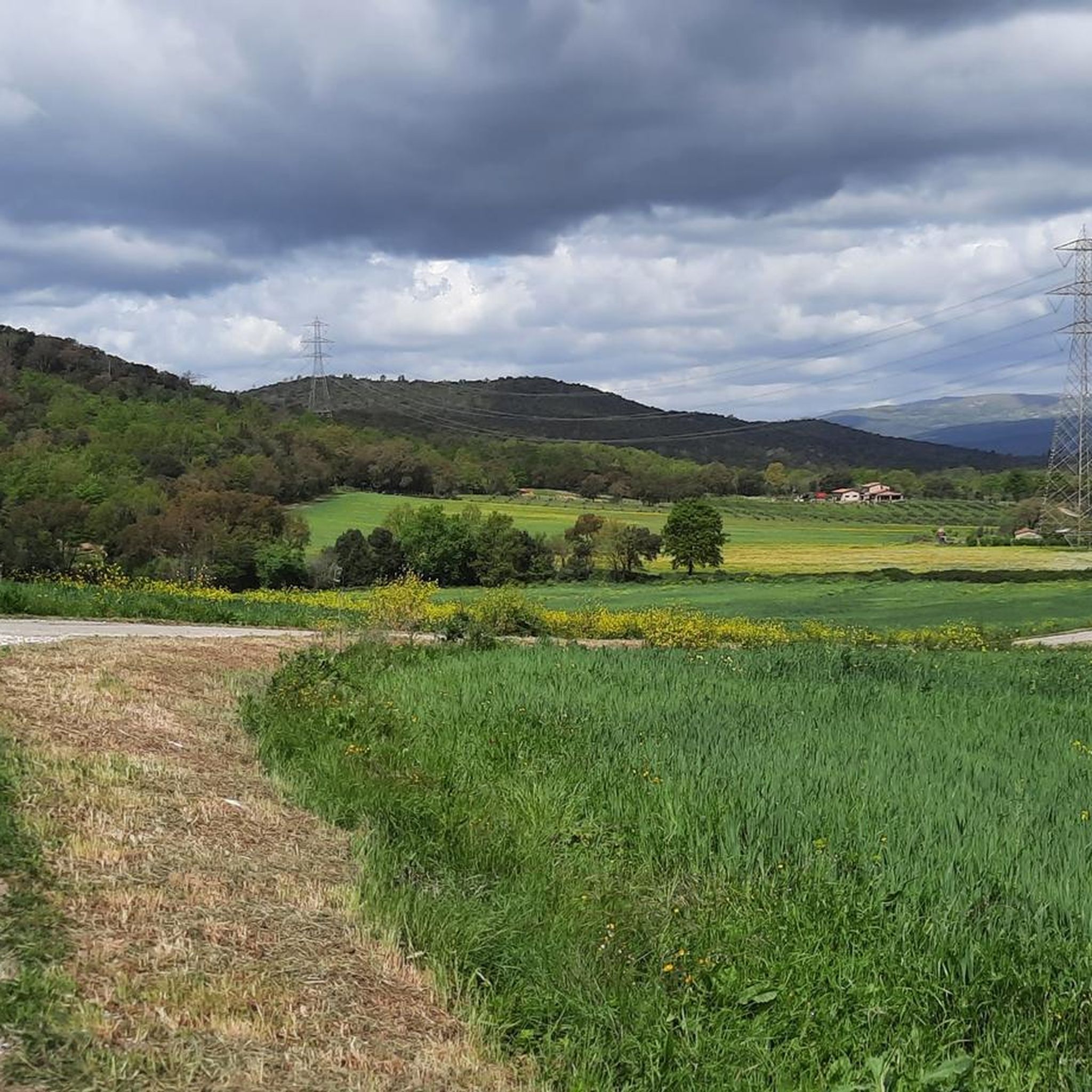
Road cycling routes around Roccastrada traverse a varied topography, from rolling hills and wooded areas to open plains, offering diverse terrain for cyclists. The region is characterized by its elevated position on a magmatic hill, providing panoramic views over the Maremman plain and distant Monte Amiata. Cyclists will encounter a mix of forests, including oak and chestnut trees, and can explore areas within the Colline Metallifere Grossetane park. The landscape features significant elevation changes, with surrounding peaks offering challenging climbs.
Best road cycling routes around Roccastrada
- The most popular road cycling route is The village of Tatti — Ring tour, a 16.3 miles (26.2 km) trail that takes 1 hour 20 minutes to complete. This moderate route offers views of the surrounding Maremman landscape.
- Another top favourite among local road cyclists is View of Prata – Lake Accesa loop from Roccatederighi, a difficult 40.5 miles (65.1 km) path. This route features significant elevation changes and panoramic vistas.
- Local road cyclists also love the Tirli – Climb to Vetulonia loop from Sticciano, a 74.7 miles (120.3 km) trail leading through diverse ecosystems and past historical sites, often completed in about 5 hours 32 minutes.
- Road cycling around Roccastrada is defined by rolling hills, diverse forests, and medieval villages, offering routes with significant elevation gains and scenic viewpoints. The network provides options for easy, moderate, and difficult rides, catering to different ability levels.
- The routes in Roccastrada are highly rated by the komoot community with an average score of 4.5 stars from over 90 reviews. More than 1800 road cyclists have used komoot to explore Roccastrada's varied terrain.
Last updated: August 18, 2026
4.8
(6)
33
riders
26.2km
01:20
450m
450m
Moderate road ride. Good fitness required. Some segments of this route may be unpaved and difficult to ride.
4.7
(22)
439
riders
65.1km
03:13
1,000m
1,000m
Hard road ride. Very good fitness required. Mostly well-paved surfaces and easy to ride.

Sign up for free
4.0
(1)
381
riders
124km
05:46
1,460m
1,460m
Hard road ride. Very good fitness required. Some segments of this route may be unpaved and difficult to ride.
4.7
(9)
225
riders
60.8km
02:53
820m
820m
Moderate road ride. Good fitness required. Mostly well-paved surfaces and easy to ride.
5.0
(9)
212
riders
88.3km
04:11
1,200m
1,200m
Hard road ride. Very good fitness required. Mostly well-paved surfaces and easy to ride.
Get access to more routes and recommendations from other explorers.
Sign up for free
Already have an account?
Our route recommendations are based on thousands of hikes, rides, and runs completed by other people on komoot.
Start today with a free account
Your next adventure awaits.
Login or Signup



Tips from the Community

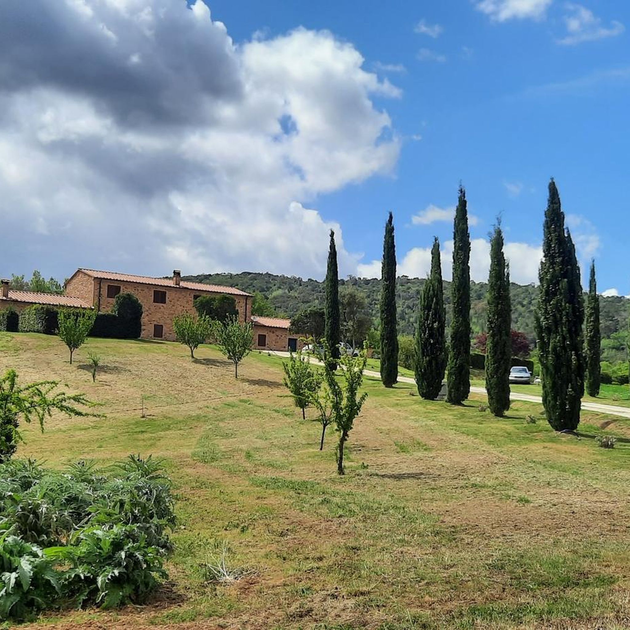
Il Barrino di Tatti is a renowned panoramic restaurant-pizzeria located about 410 meters above sea level, just outside the historic medieval village of Tatti (a hamlet of the municipality of Massa Marittima, in the province of Grosseto). Founded around 1970 as a village club, it is managed in synergy with the nearby Fattoria di Tatti - Sequerciani and is famous for its terrace with a breathtaking view that stretches across the entire Maremma region to the sea and the Island of Elba.
0
0
The climb to Tirli is one of the most iconic cycling routes in the Maremma region of Tuscany, located in the municipality of Castiglione della Pescaia. This ascent can be tackled mainly from two opposite sides, offering spectacular views of the Gulf of Follonica and the Grosseto plain. The two main sides From Pian d'Alma (North-West side): It is considered the "real" and most challenging climb. It is about 5-6 km long up to the village, with maximum gradients reaching 13-15% on some internal stretches within the cork oak and chestnut woods. From Ampio / Castiglione della Pescaia (South side): More rideable, constant, and shaded. It is about 6.3 km long with an average gradient of 5.1% and maximum peaks not exceeding 8%.
1
0
The climb to Vetulonia offers ideal routes for cycling or hiking, with an elevation gain of about 300 meters. The most popular side starts from Grilli, approximately 4.3 km long with an average gradient of 7.2%. Alternatively, the climb from Vaticino extends for 5.2 km with an average gradient of 5.9%. The climb is characterized by challenging but consistent gradients, offering a splendid view of the Maremma Grossetana countryside.
1
0
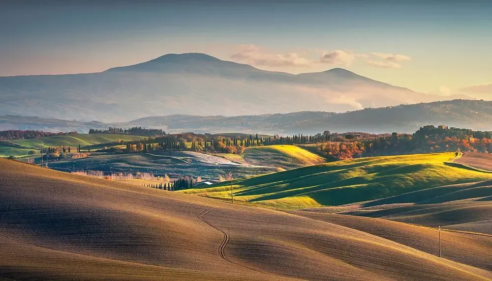
The medieval village of Prata (part of Massa Marittima) is located at an altitude of 620 meters. From its dominant position on the Colline Metallifere, it offers a 360-degree panorama ranging from the summit of Monte Amiata to the Gulf of Follonica, even offering views of the Island of Elba and, on the clearest days, Corsica.
0
0
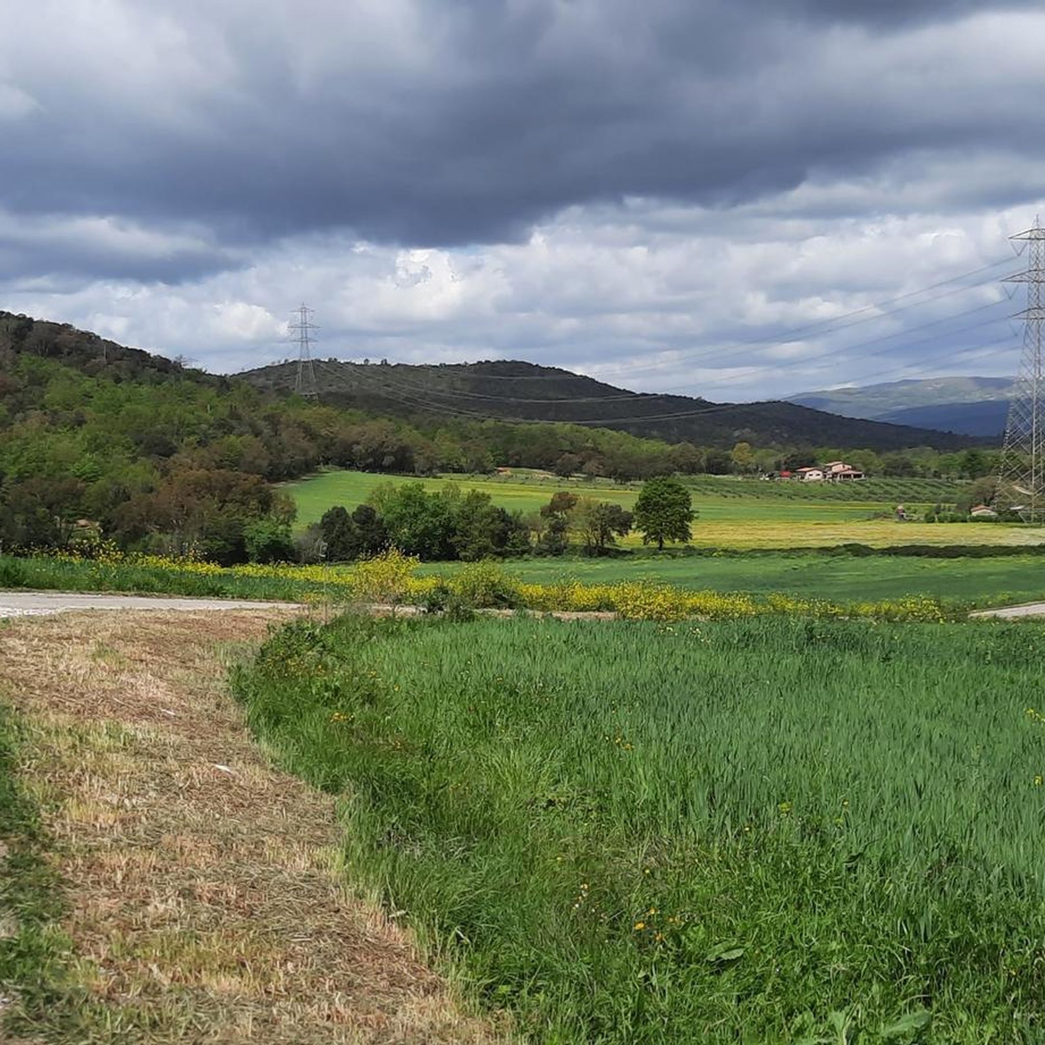
Tatti is an ancient and evocative medieval Italian village, a hamlet of the municipality of Massa Marittima, located in the province of Grosseto in Tuscany. Perched at about 412 meters above sea level on the Colline Metallifere, it overlooks the Maremma of Tuscany and has a small community of about 200 inhabitants.
0
0
The Palazzo Comunale of Massa Marittima, located in Piazza Garibaldi, is an imposing 13th-14th century travertine building, the hub of medieval Tuscan power. The complex, characterized by three floors of mullioned windows and 19th-century battlements, combines the 14th-century Torre del Bargello (formerly Biserno) with the Sienese Gothic central body. The facade features the Medici coat of arms and a 15th-century bas-relief. Travertine structure composed of several blocks, with the Torre del Bargello (13th century) and the Gothic central body (14th century). It features the Medici coat of arms (1555), a bas-relief by Urbano da Cortona (15th century), and commemorative plaques of Giuseppe Garibaldi. It houses the Cappella dei Priori (frescoed in 1525, now the Mayor's office) and Igor Mitoraj's sculpture "Icarus" in the atrium.
1
0
Tirli, a medieval hamlet of Castiglione della Pescaia at 580m above sea level, offers a unique view of the lush Mediterranean vegetation of holm oaks and chestnut trees and the Maremma sea. Perched on the hill, it offers panoramic views stretching to the turquoise coast, ideal for trekking and photography lovers.
0
0

Massa Marittima, a beautiful village to visit...
1
0
Frequently Asked Questions
What kind of terrain can I expect on road cycling routes around Roccastrada?
Road cycling around Roccastrada offers a diverse topography, ranging from rolling hills and wooded areas to open plains. The region is known for its significant elevation changes, with routes traversing magmatic hills and surrounding peaks like Monte Alto and Sassoforte, providing challenging climbs and rewarding descents. You'll find a mix of forests, including oak and chestnut trees, particularly around the Roccastrada springs, and scenic vistas over the Maremman plain.
How many road cycling routes are available in the Roccastrada area?
There are over 50 road cycling routes available around Roccastrada on komoot. These routes cater to various skill levels, with 6 easy, 33 moderate, and 12 difficult options, ensuring there's a ride for every cyclist.
Are there any challenging road cycling routes for experienced riders?
Yes, Roccastrada offers several challenging routes for experienced road cyclists. For instance, the View of Prata – Lake Accesa loop from Roccatederighi is a difficult 65.1 km path with significant elevation changes. Another demanding option is the Tirli – Climb to Vetulonia loop from Sticciano, spanning over 120 km with substantial climbs, leading through diverse ecosystems and past historical sites.
What historical sites and natural features can I see along the road cycling routes?
The routes around Roccastrada are rich in historical and natural attractions. You can cycle past medieval villages like Montemassi with its Aldobrandeschi citadel, and Roccatederighi, nestled among trachyte cliffs. Natural highlights include the Bruna River Waterfalls and the Riserva Naturale Farma with its natural pools. Other notable sites include the ruins of the Giugnano Monastery and the 11th-century Romanesque Pieve di Caminino. You can also explore the Archaeological Park of Lake Accesa.
Are there any circular road cycling routes in Roccastrada?
Yes, many road cycling routes in Roccastrada are designed as loops, allowing you to start and end in the same location. An example is The village of Tatti — Ring tour, a moderate 26.2 km route offering views of the Maremman landscape. Another is the San Galgano – Abbey of San Galgano loop from Ribolla, a difficult 88.4 km ride.
What do other road cyclists enjoy most about cycling in Roccastrada?
The road cycling experience in Roccastrada is highly rated by the komoot community, with an average score of 4.5 stars from over 90 reviews. Cyclists often praise the diverse terrain, from challenging climbs to scenic descents, and the stunning panoramic views over the Maremman plain. The combination of natural beauty, historical villages, and varied route difficulties makes it a popular destination.
Is Roccastrada suitable for family-friendly road cycling?
While many routes in Roccastrada feature significant elevation changes, there are easier options available. With 6 easy routes, families can find suitable paths that offer a more relaxed experience. These routes often traverse less challenging terrain, allowing for enjoyable rides through the scenic landscape without excessive climbs.
Can I find places to eat and stay in Roccastrada after my ride?
Yes, Roccastrada and its surrounding villages offer various options for dining and accommodation. In Roccastrada itself, you can explore the historic center for cafes and restaurants. The region has hotels, B&Bs, and agriturismi that cater to visitors, providing comfortable stays and local Tuscan cuisine.
What is the best time of year for road cycling in Roccastrada?
The Maremma region, where Roccastrada is located, generally offers pleasant cycling conditions for much of the year. Spring and autumn are often ideal, with milder temperatures and beautiful landscapes. Summers can be warm, especially in July and August, so early morning or late afternoon rides are recommended. Winters are generally mild, making it possible to cycle, though some higher elevation routes might be cooler.
Are there any natural monuments or unique geological features to explore?
Absolutely. Roccastrada is part of the Colline Metallifere Grossetane (Metalliferous Hills) park, contributing to its unique geological environment. You can visit the Petriolo Thermal Baths, a natural monument, or the Doctor's Spring. The region's history as a silver and copper mining center is also preserved in the Mining Park of Roccastrada Ribolla.
How can I get to Roccastrada with my bike using public transport?
For public transport options to Roccastrada with your bike, it's advisable to check specific regional train (R line) and bus services (like Autolinee RAMA) for their bike carriage policies. While some regional trains in Italy allow bikes, bus services often have restrictions. For detailed information on transport to the region, you might find useful resources on the official tourism website for Tuscany: VisitTuscany.com.
Most popular routes around Roccastrada
Most popular attractions around Roccastrada

Get inspired with the komoot mobile app


Explore more
Browse the best Road cycling routes in other regions.
