The best road cycling routes around Massa Marittima
4.6
(653)
16,616
riders
71
rides
Road cycling routes around Massa Marittima traverse the rolling hills and rural landscapes of Tuscany, offering varied terrain for cyclists. The region features a mix of open roads, forested sections, and views of historical towns and Lake Accesa. Elevations vary, providing both challenging climbs and gentler stretches.
Best road cycling routes around Massa Marittima
- The most popular road cycling route is Massa Marittima and Lake Accesa Loop, a 20.7 miles (33.3 km) trail that takes 1 hour 40 minutes to complete. This moderate route offers scenic views of Lake Accesa and the historic town.
- Another top favourite among local road cyclists is Lago dell'Accesa – Strada della Marsiliana loop from Massa Marittima, a moderate 40.9 miles (65.8 km) path. This route winds through rural roads and offers diverse Tuscan scenery.
- Local road cyclists also love the Lago dell'Accesa – View of Prata loop from Lago dell'Accesa, a 47.7 miles (76.8 km) trail leading through varied terrain with significant elevation gain, often completed in about 3 hours 48 minutes.
- Road cycling around Massa Marittima is defined by rolling hills, rural roads, and views of Lake Accesa and surrounding towns. The network offers options for different ability levels, from moderate loops to challenging routes with substantial climbs.
- The routes in Massa Marittima are highly rated by the komoot community with an average score of 4.5 stars from over 150 reviews. More than 4000 road cyclists have used komoot to explore Massa Marittima's varied terrain.
Last updated: October 10, 2026
4.6
(21)
278
riders
33.3km
01:40
480m
480m
This moderate 20.7-mile road cycling ring tour combines the scenic Lago dell'Accesa with the historic charm of Massa Marittima in Tuscany.
4.5
(11)
371
riders
65.8km
03:01
700m
700m
Moderate road ride. Good fitness required. Mostly well-paved surfaces and easy to ride.

4.7
(19)
331
riders
55.5km
02:40
770m
770m
Moderate road ride. Good fitness required. Mostly well-paved surfaces and easy to ride.
4.9
(12)
212
riders
51.3km
02:32
780m
780m
Moderate road ride. Good fitness required. Mostly well-paved surfaces and easy to ride.
5.0
(8)
214
riders
98.1km
04:52
1,540m
1,540m
Hard road ride. Very good fitness required. Mostly well-paved surfaces and easy to ride.
Get access to more routes and recommendations from other explorers.
Already have an account?
Our route recommendations are based on thousands of hikes, rides, and runs completed by other people on komoot.
Start today with a free account
Your next adventure awaits.
Popular around Massa Marittima
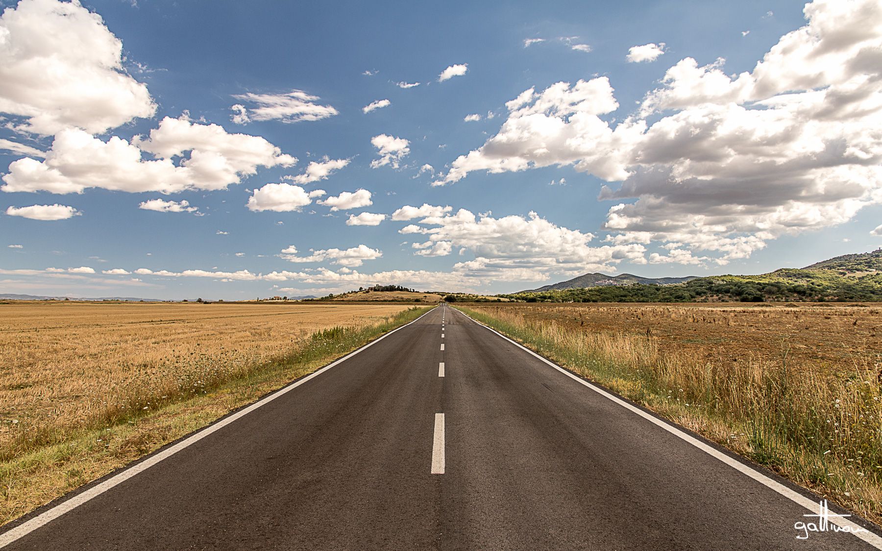
Discover a hidden side of Tuscany – Grand Tour of the Maremma
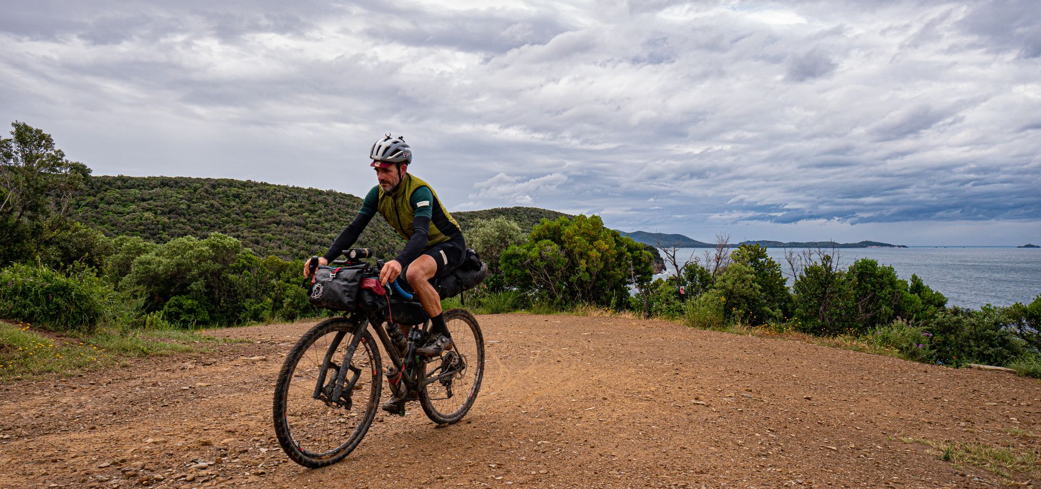
Maremma Challenge — A Tuscan, mixed terrain bikepacking loop
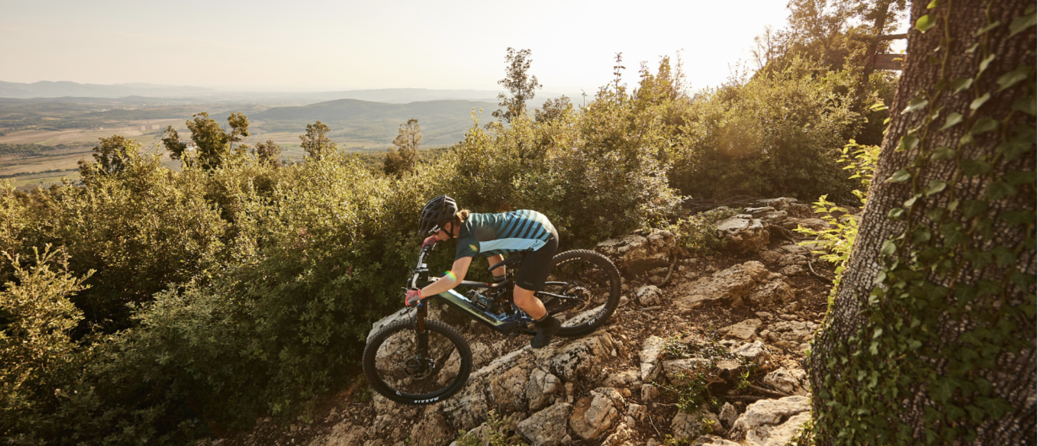
Cycling adventures in Tuscany from Pian dei Mucini Bike Resort
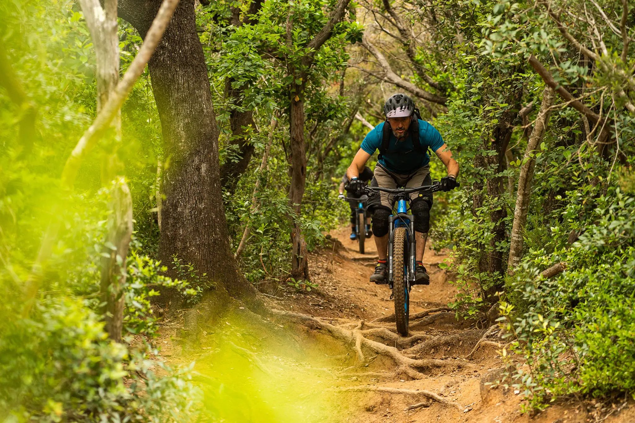
Sun, sea and adventure – MTB trails around Punta Ala
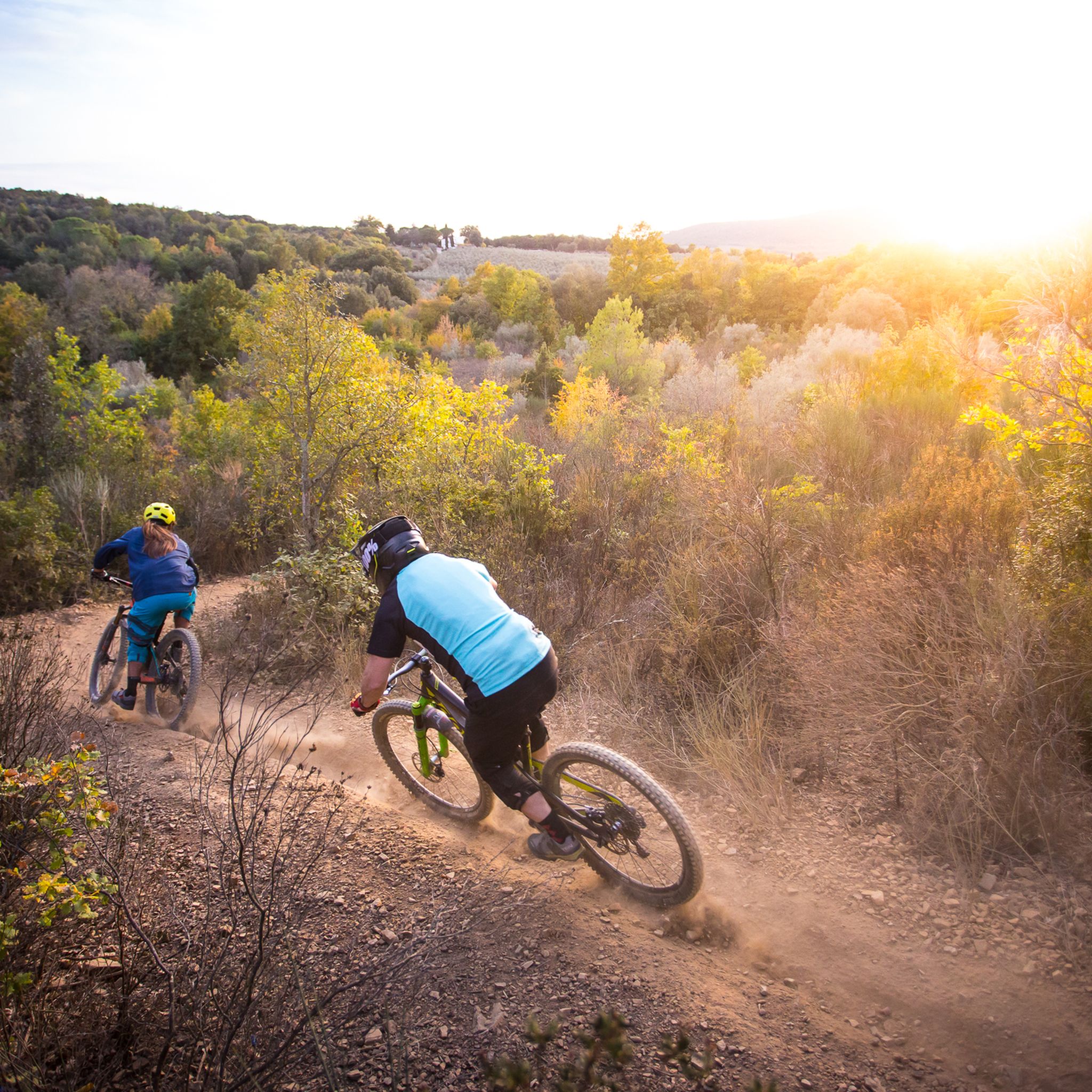
MTB Trails around Massa Marittima
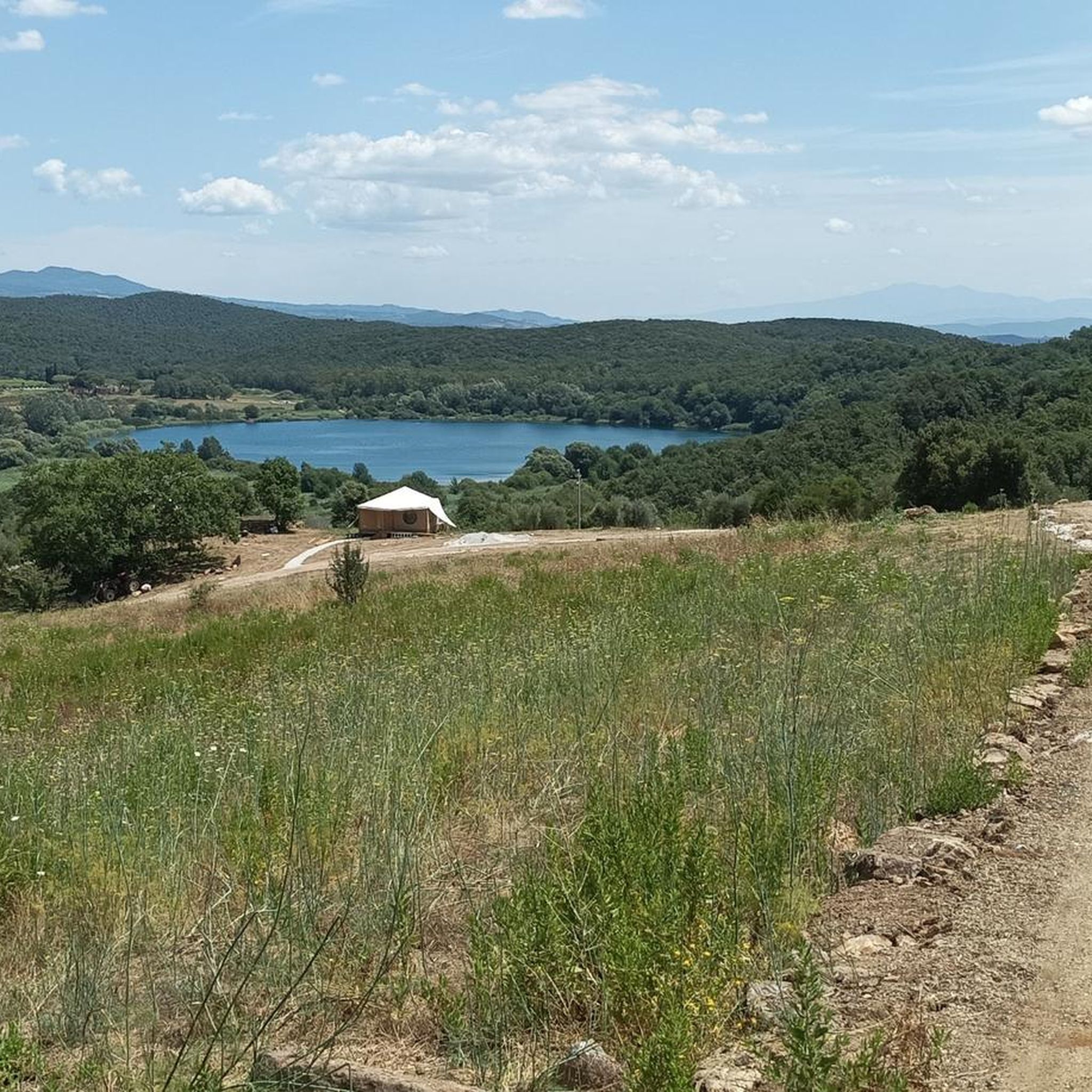
Cycling around Massa Marittima
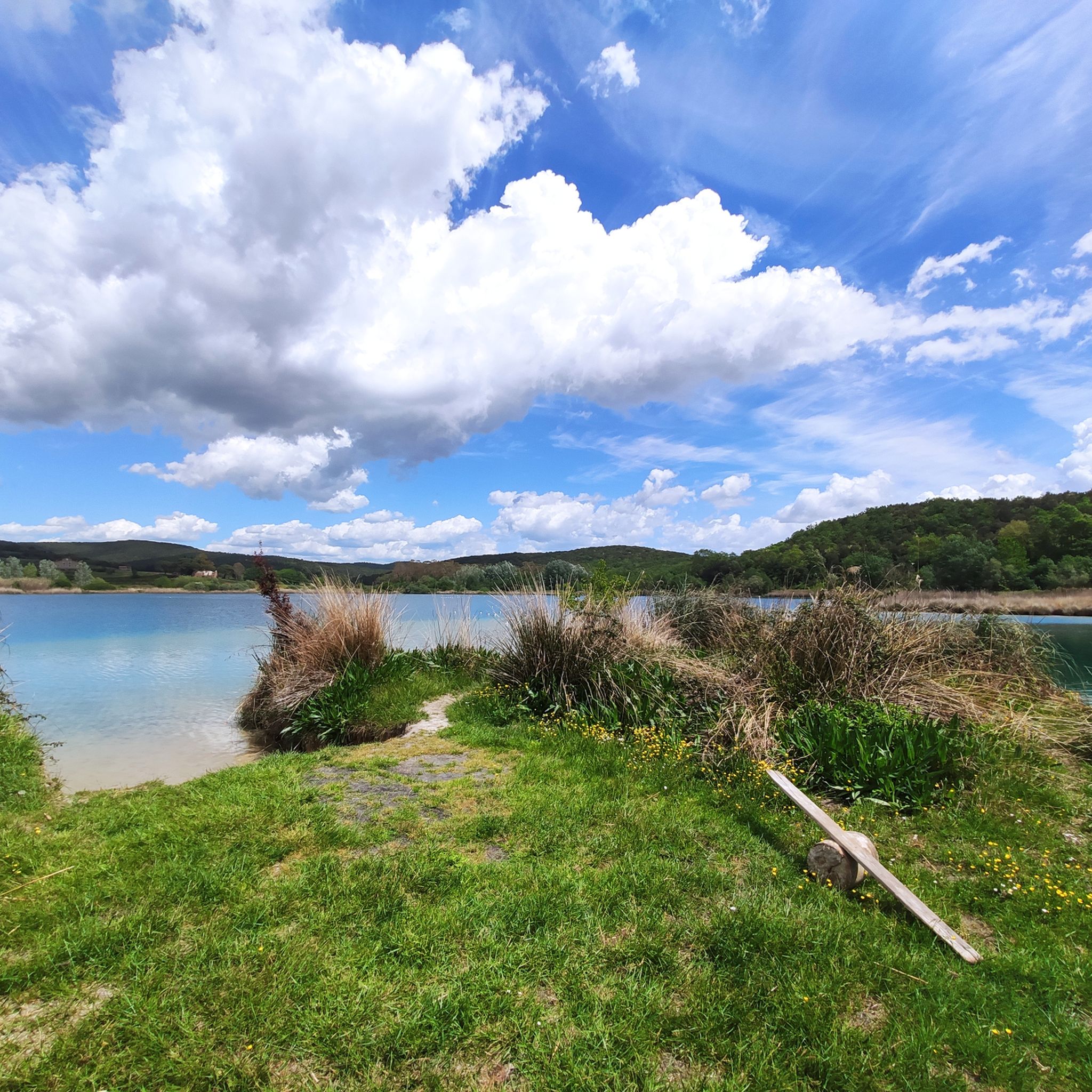
Hiking around Massa Marittima
Gravel biking around Massa Marittima
Running Trails around Massa Marittima
Other adventures around Massa Marittima


Tips from the Community

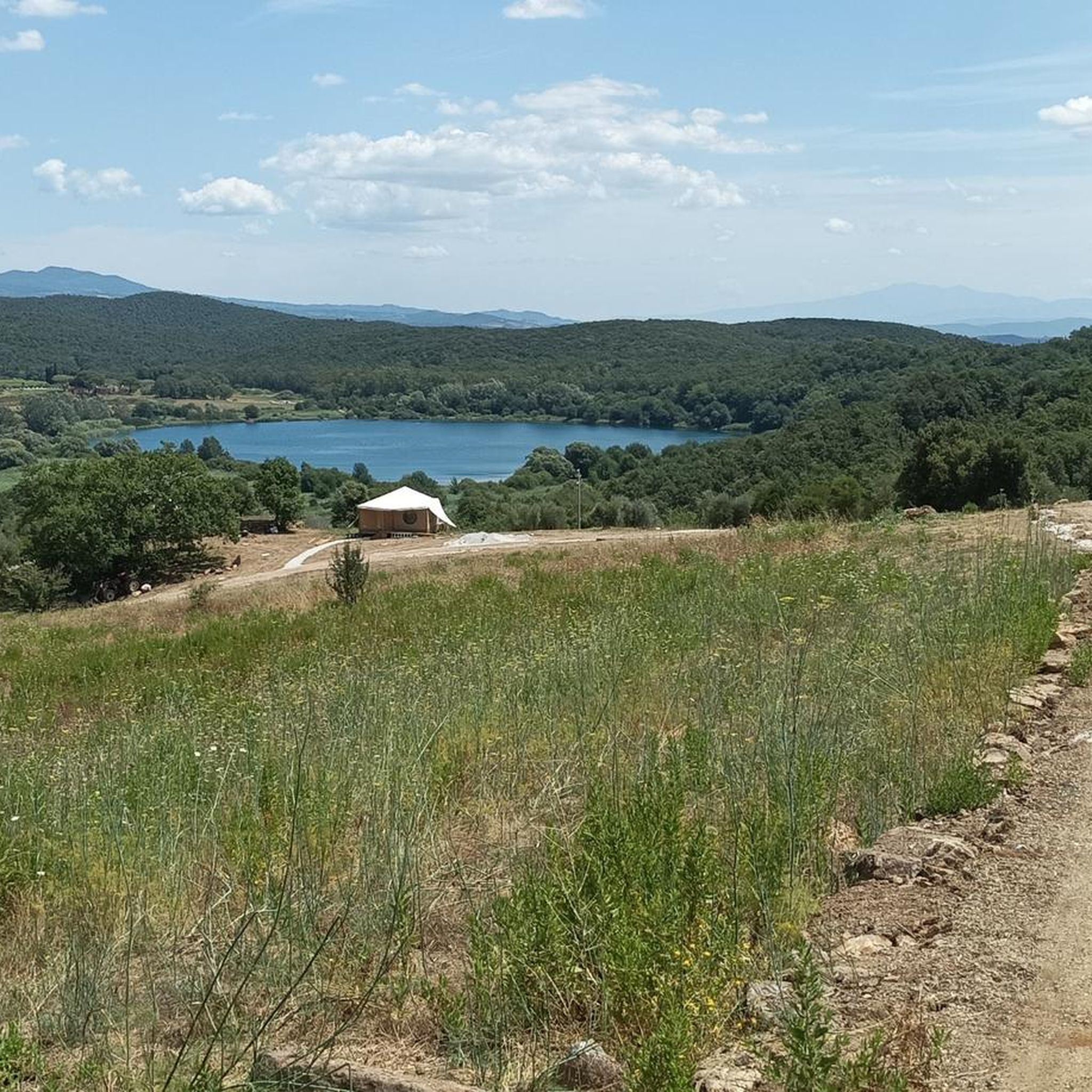
Beautiful lake. As clear as I've rarely seen it. Perfect for a swimming stop on the bike tour
1
0

The hills of Monteverdi Marittimo are located on the slopes of the Colline Metallifere, 364 meters above sea level in the province of Pisa, and offer a natural landscape that combines the woods of Val di Cecina and Val di Cornia with a panoramic view near the sea.
0
0
Massa Marittima is an Italian municipality of 8,160 inhabitants in the province of Grosseto in Tuscany. Main center of the Grosseto Metalliferous Hills area, it is a member of the Union of mountain municipalities Colline Metallifere. As a Maremma tourist resort, it has obtained important recognitions for environmental quality.
0
0
The beach and promenade of Follonica represent the beating heart of the summer life of this well-known seaside resort in the Tuscan Maremma. The town's coastline is characterized by very fine, light-colored sand, lapped by a calm sea with very gently sloping seabeds. This feature makes it perfect and safe for families with small children and for those seeking a day of absolute relaxation.
0
0
The branch for Valpiana from the Strada della Marsiliana is a secondary road link immersed in the countryside of Massa Marittima, highly appreciated for cycling routes
0
0
Monteverdi Marittimo is a charming Italian municipality of about 775 inhabitants located in the province of Pisa, in Tuscany. This ancient medieval village stands in the hinterland of Maremma Pisana, perched on the southern slope of the Colline Metallifere and straddling the Val di Cecina and Val di Cornia. Certified with the prestigious Orange Flag of the Italian Touring Club, the town represents a unique meeting point between the dense Mediterranean scrub, the proximity to the sea (from which it is about 15-20 km away) and the geothermal energy of the subsoil.
1
0
The Montioni Interprovincial Park (also known as Montioni Natural Park) is a protected natural area of approximately 7,000 hectares located straddling the provinces of Livorno and Grosseto. The park is famous for its dense Mediterranean scrub dominated by holm oak woods and houses important historical and mining evidence within it, particularly related to the Napoleonic period and the extraction of alum.
0
0
The Panoramic Road between Monteverdi Marittimo and Canneto is a suggestive hilly route immersed in the unspoiled nature of the Colline Metallifere and Val di Cornia, in the province of Pisa. The itinerary connects two charming Tuscan medieval villages and is particularly appreciated for its wide panoramas, tranquility, and scarcity of traffic. Technical Route Data Length: 3.6 km (from Canneto to Monteverdi Marittimo). Elevation gain: 104 meters uphill. Average gradient: 2.9%. Type: Fully asphalted road, perfect for cycle tourism or as a scenic car route.
1
0
Frequently Asked Questions
How many road cycling routes are available around Massa Marittima?
There are over 65 road cycling routes around Massa Marittima, offering a wide range of options for different skill levels and preferences. These routes traverse the rolling hills and rural landscapes of Tuscany.
What is the best time of year for road cycling in Massa Marittima?
The best time for road cycling in Massa Marittima is typically spring (April-May) and autumn (September-October). During these months, the weather is mild and pleasant, making for ideal riding conditions. Summers can be quite hot, especially in July and August, though early morning rides are still possible.
Are there easy road cycling routes for beginners in Massa Marittima?
Yes, Massa Marittima offers several routes suitable for beginners. While the region is known for its rolling hills, there are 6 easy routes available. These typically feature less elevation gain and shorter distances, allowing new riders to enjoy the Tuscan scenery at a comfortable pace.
What kind of terrain can I expect on road cycling routes in Massa Marittima?
Road cycling routes in Massa Marittima are characterized by rolling hills, rural roads, and a mix of open stretches and forested sections. You can expect varied terrain, from gentle ascents to more challenging climbs, with scenic views of Lake Accesa and historical towns.
Are there challenging road cycling routes for experienced riders?
Absolutely. For experienced riders seeking a challenge, Massa Marittima offers 21 difficult routes. These routes often feature significant elevation gains and longer distances, such as the Lago dell'Accesa – View of Prata loop from Lago dell'Accesa, which includes over 1,100 meters of climbing.
Are there circular road cycling routes around Massa Marittima?
Yes, many of the road cycling routes in Massa Marittima are circular, allowing you to start and end in the same location. Popular loop options include the Massa Marittima and Lake Accesa Loop and the Lago dell'Accesa – Strada della Marsiliana loop from Massa Marittima.
What scenic viewpoints or attractions can I find along the routes?
Many routes offer scenic views of Lake Accesa and the historic town of Massa Marittima. While cycling, you might pass by points of interest like the Trail Brothers' Hut, Monte Arsenti or the Ruins of Podere Quercialte, offering glimpses into the region's natural beauty and history.
Where can I park my car when starting a road cycling route in Massa Marittima?
Parking is generally available in and around Massa Marittima, particularly near the town center or at common starting points for routes. Specific parking information can often be found in the detailed route descriptions on komoot, or by checking local signage upon arrival.
What do other road cyclists enjoy most about cycling in Massa Marittima?
The road cycling routes in Massa Marittima are highly rated by the komoot community, with an average score of 4.5 stars. Reviewers often praise the diverse Tuscan scenery, the mix of challenging climbs and enjoyable descents, and the opportunity to explore charming rural roads and historical sites.
Are there cafes or places to stop for refreshments along the road cycling routes?
Yes, many routes pass through or near small villages and towns where you can find cafes, bars, and restaurants for refreshments. It's always a good idea to check the route details or plan your stops in advance, especially on longer or more remote sections, to ensure you have access to water and food.
Can I access the road cycling routes using public transport?
While Massa Marittima is accessible by public transport, reaching specific trailheads directly might require some planning. Buses connect Massa Marittima to larger towns, but for ultimate flexibility with your bike, driving to a starting point is often the most convenient option.
What is the typical length of road cycling routes in Massa Marittima?
The lengths of road cycling routes in Massa Marittima vary significantly. You can find shorter loops, such as the Massa Marittima and Lake Accesa Loop at around 33 km, to much longer and more challenging rides like the View of Massa Marittima – View of Prata loop from Massa Marittima, which extends to nearly 80 km.
Most popular routes around Massa Marittima
Most popular attractions around Massa Marittima

Get inspired with the komoot mobile app


Explore more
Browse the best Road cycling routes in other regions.
