The best walks and hikes around Weilheim
4.5
(10710)
40,991
hikers
115
hikes
Hiking around Weilheim offers diverse landscapes in south-central Bavaria, characterized by its position along the Ammer River and proximity to the Alps. The region features extensive moor and forest areas, including the Weilheimer Moos, alongside picturesque lakes such as Ammersee, Lake Starnberg, and the Osterseen. This pre-Alpine setting provides a mix of rolling hills, meadows, and forests, with elevated points offering panoramic views.
Best hiking trails around Weilheim
- The most popular hiking route is View of Gupfen Hill – Gupfen…
Last updated: September 30, 2026
4.5
(2)
15
hikers
9.78km
02:59
330m
330m
Moderate hike. Good fitness required. Mostly accessible paths. Sure-footedness required.
4.7
(3)
18
hikers
10.5km
03:04
290m
300m
Moderate hike. Good fitness required. Easily-accessible paths. Suitable for all skill levels.

4.5
(15)
54
hikers
9.58km
02:42
200m
200m
Moderate hike. Good fitness required. Easily-accessible paths. Suitable for all skill levels.
4.7
(14)
46
hikers
9.38km
02:37
180m
180m
Moderate hike. Good fitness required. Easily-accessible paths. Suitable for all skill levels.
4.8
(13)
43
hikers
Easy hike. Great for any fitness level. Easily-accessible paths. Suitable for all skill levels.
Get access to more routes and recommendations from other explorers.
Already have an account?
Our route recommendations are based on thousands of hikes, rides, and runs completed by other people on komoot.
Start today with a free account
Your next adventure awaits.
Popular around Weilheim
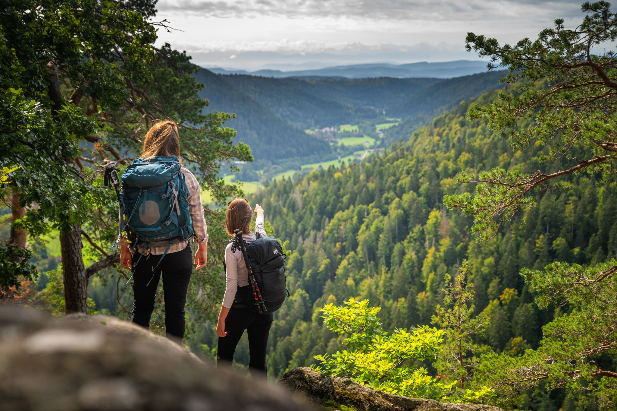
From the hills to the Rhine – hiking in the Southern Black Forest
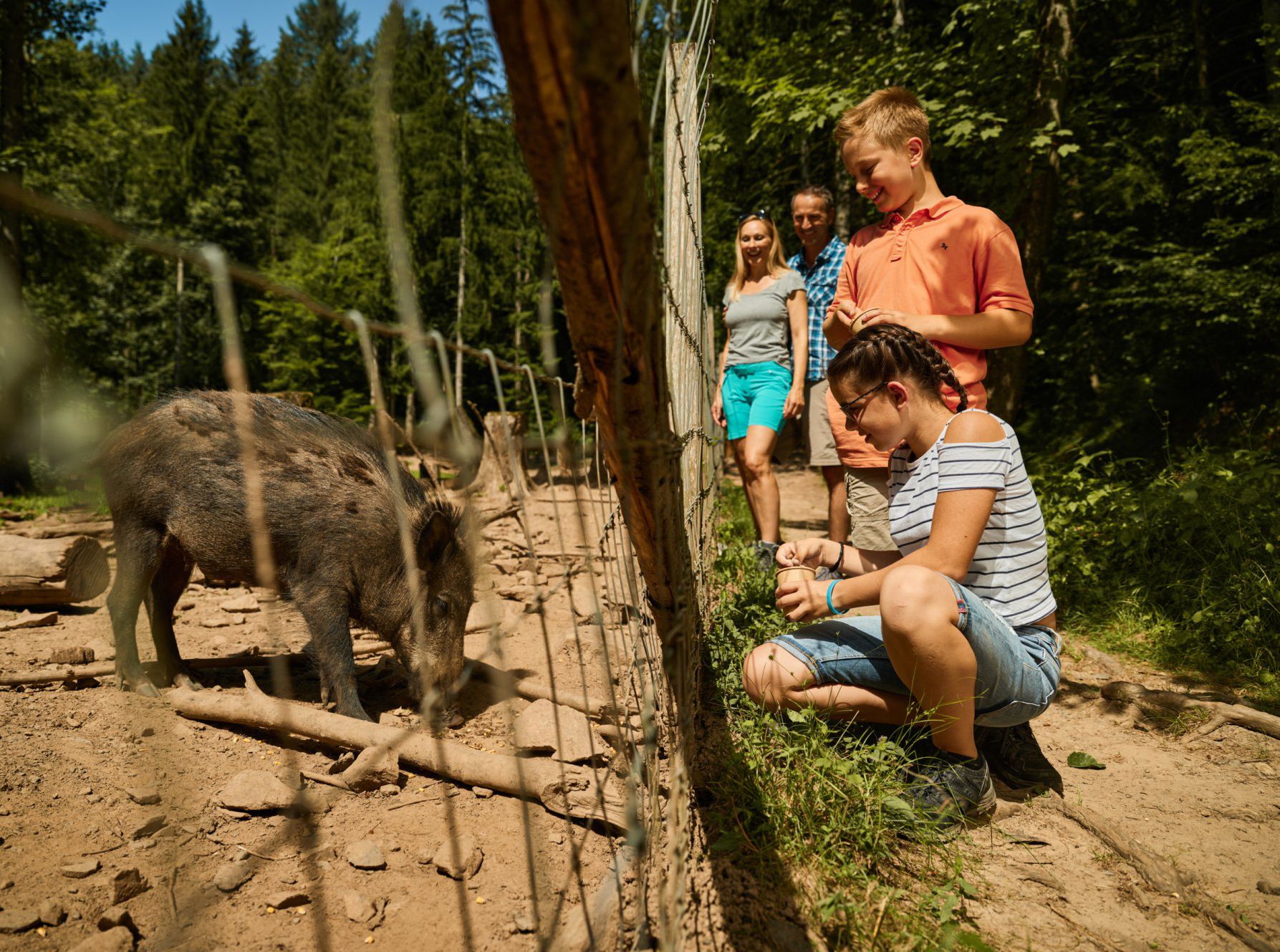
Animal Tours – family hikes in the southern Black Forest
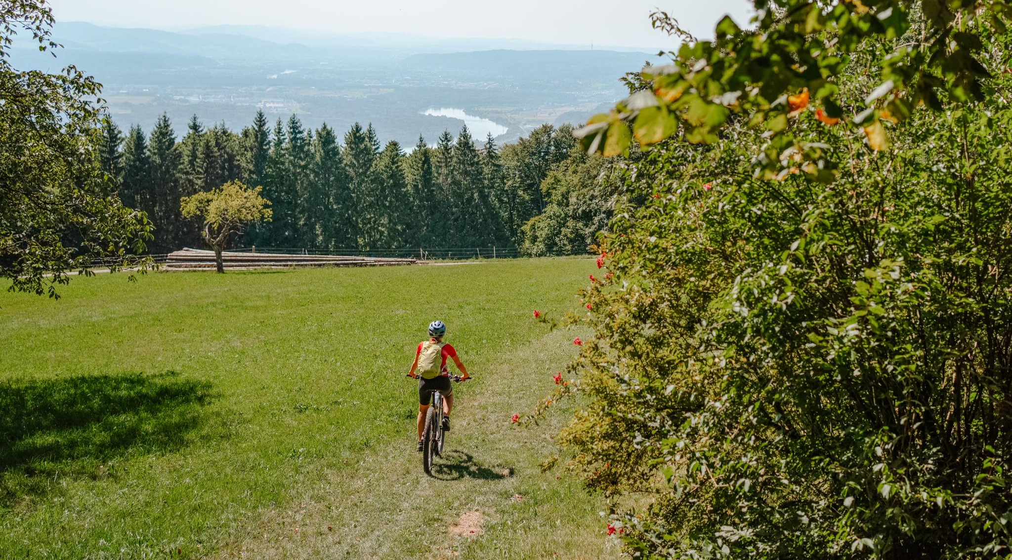
Build your dream ride: Modular biking in the Southern Black Forest
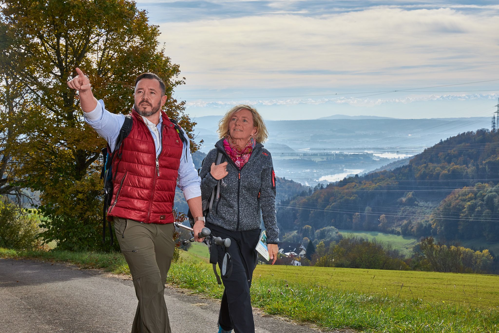
Wanderlust rund um Waldshut-Tiengen - alle Ortsteile entdecken
Die Schönheit des Herbstes – Wanderungen im Südschwarzwald
Cycling around Weilheim
MTB Trails around Weilheim
Road Cycling Routes around Weilheim
Gravel biking around Weilheim
Running Trails around Weilheim
Other adventures around Weilheim

Tips from the Community

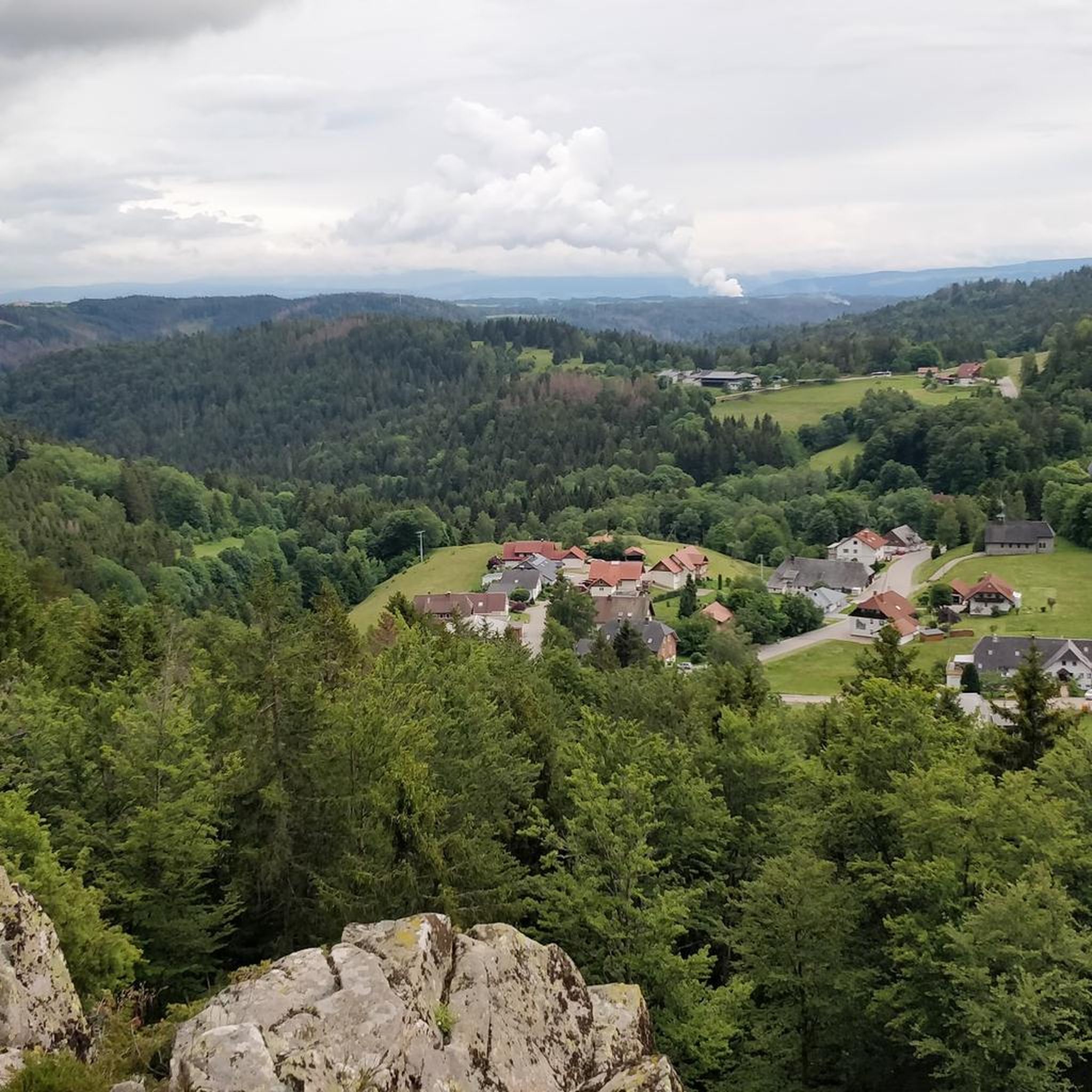
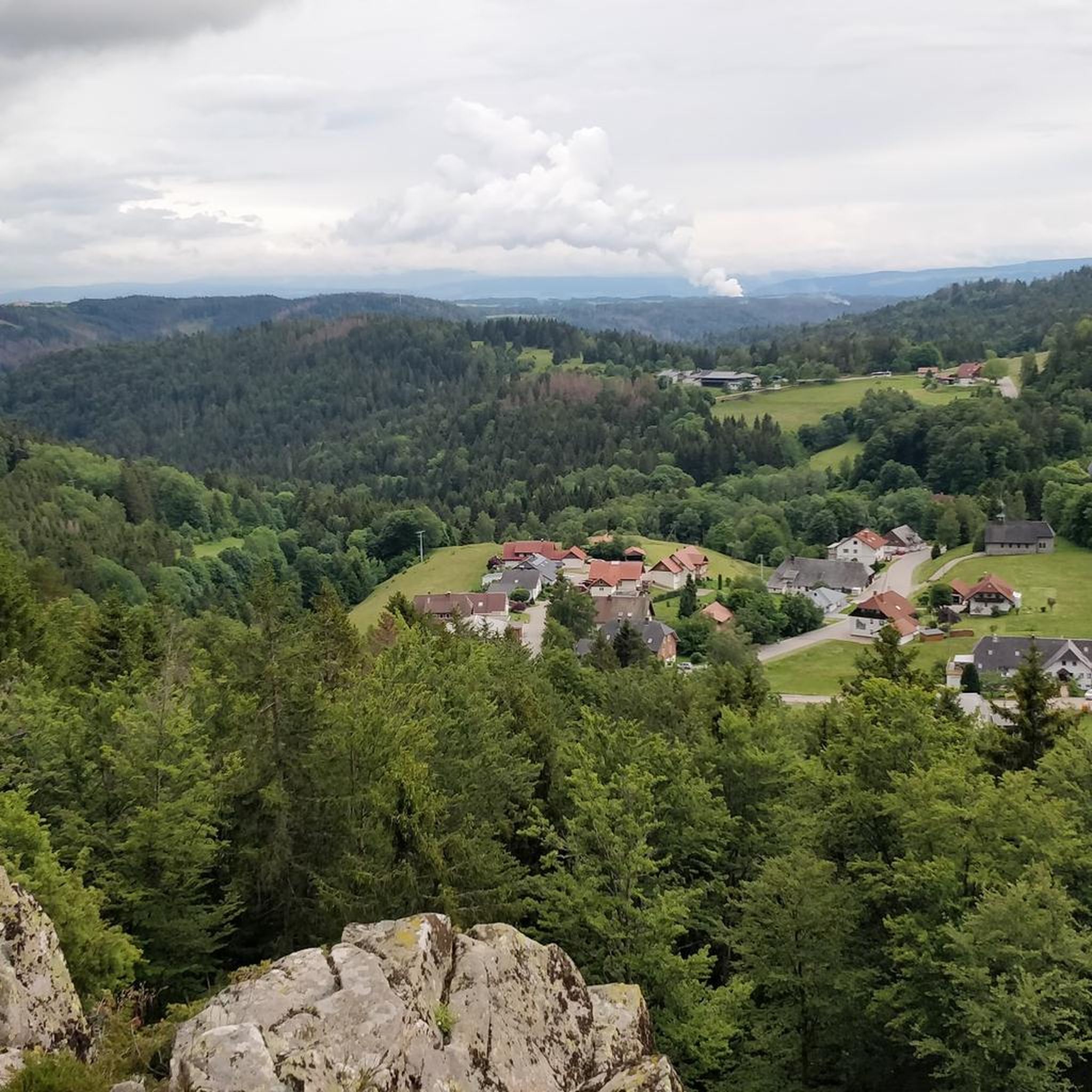
The Gupfen is a 780-meter high elevation south of Bannholz near Weilheim and the highest elevation of the Hubgerberg. In good weather, you have a beautiful view of the Swiss Alps, the Black Forest, the Hotzenwald, and the Rhine Valley. A nice stopping point with a pavilion, seating. A barbecue area. Barbecuing is prohibited due to prolonged drought. A place I want to come back to!!!
0
0

A small, but definitely rewarding waterfall.
0
0

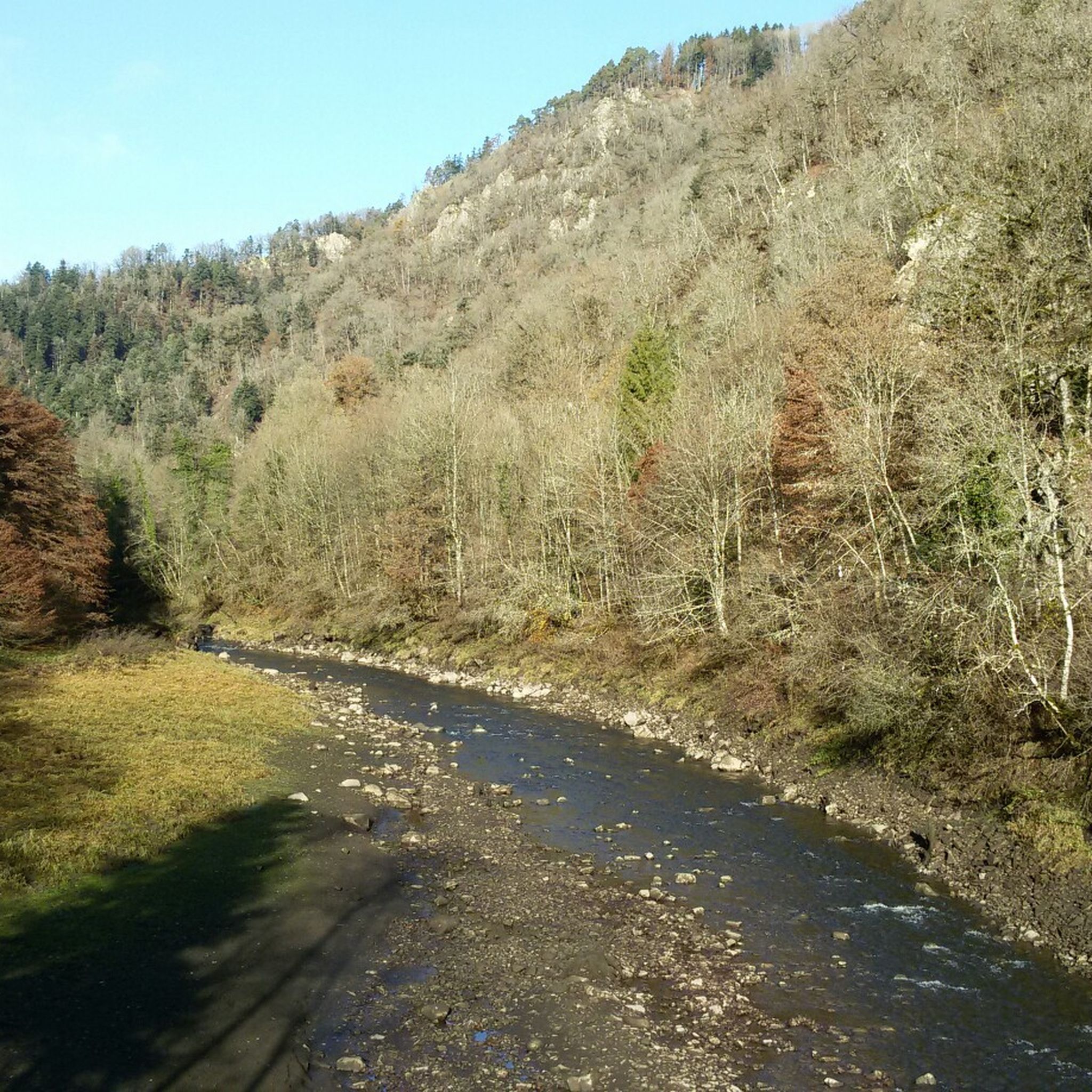
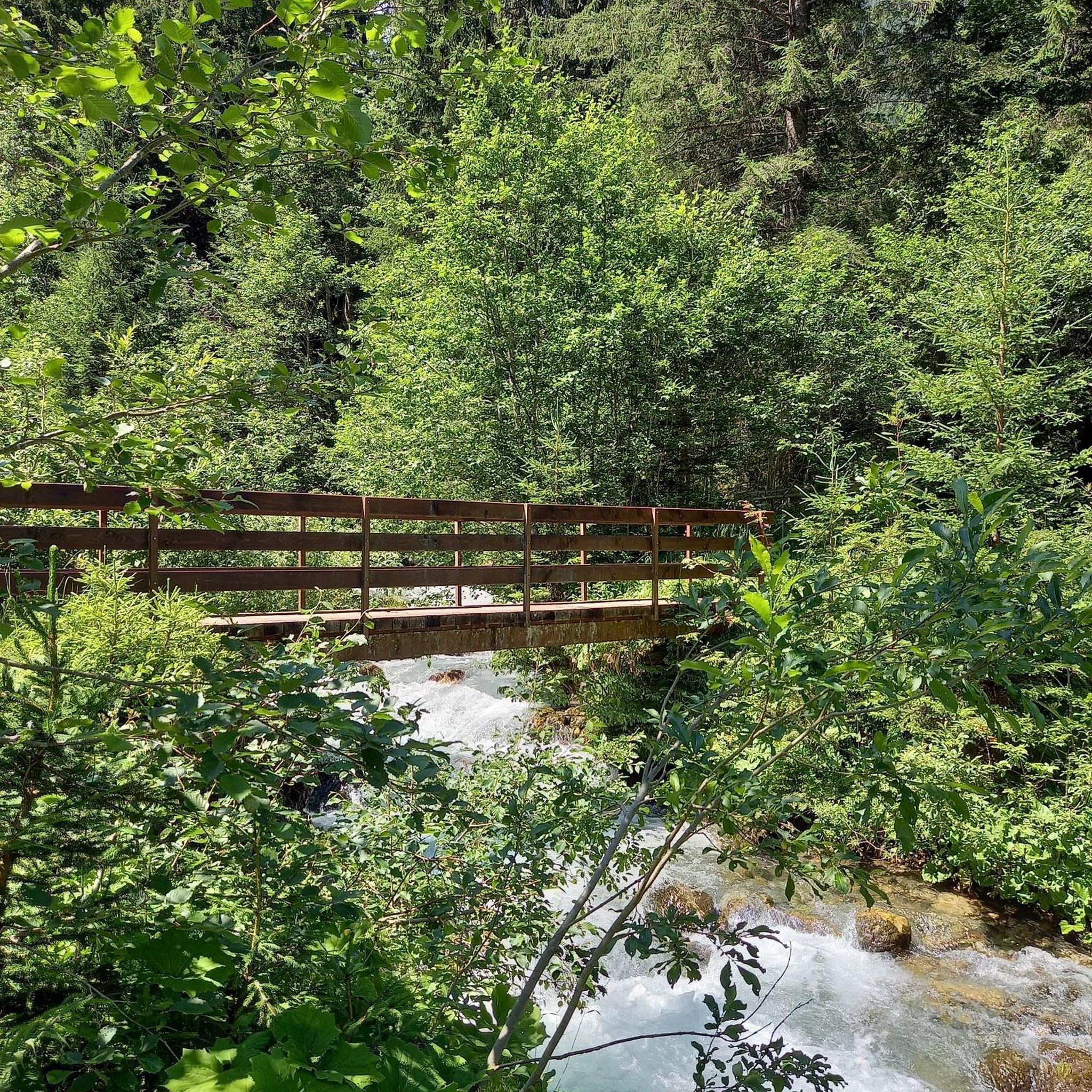
Along the Haselbach, you hike on an exciting path over bridges and boardwalks directly along the stream. You will repeatedly have great views of the rushing water and the waterfalls, such as the Haselbach waterfall. It plunges into a granite basin and is particularly impressive after rainfall.
0
0

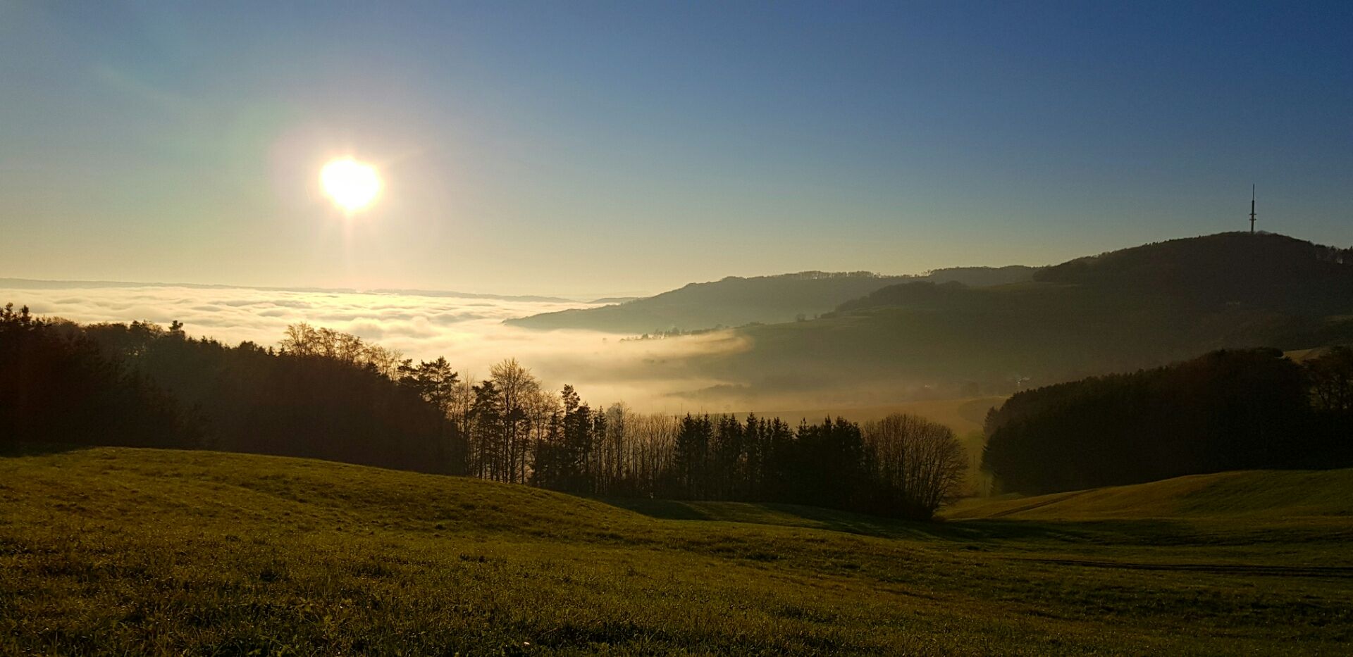
With the great view and the cloud formations to go with it, it's almost like a nature cinema.
0
0
A great view to enjoy.
1
0

Up it goes here also with the bike from Waldshut on line 7322 7322.pdf https://share.google/KZsPshvLjP4bOLgk1
0
0

A short stop at the Gupfen is particularly worthwhile when the clouds are drifting over the heights. From up here, I had a magnificent view towards the Swiss Alps, Black Forest, Hotzenwald, and the Rhine Valley – a quiet spot where light, space, and weather play together beautifully. Ideal for a short break on the tour.
0
0

Panorama, always take an extra jacket with you. It's usually windy and usually followed by a long descent.
0
0
Frequently Asked Questions
How many hiking trails are available around Weilheim?
There are over 110 hiking routes around Weilheim, catering to various preferences and fitness levels. This includes 41 easy routes, 65 moderate routes, and 7 more challenging trails.
What is the general difficulty level of hiking trails in Weilheim?
The hiking trails around Weilheim offer a good mix of difficulties. You'll find a significant number of easy and moderate routes, perfect for casual walks or day trips. There are also a few more challenging options for experienced hikers seeking greater elevation and distance.
Are there any waterfalls or gorges to explore on hikes near Weilheim?
Yes, the region features notable natural attractions. You can discover the beautiful Windberg Waterfall and the impressive Windberg Gorge, which are part of the natural monuments around Weilheim.
Where can I find the best panoramic views of the pre-Alpine landscape?
For stunning panoramic views, consider routes that lead to elevated points. The View of Gupfen Hill – Gupfen Viewpoint loop offers excellent vistas. Other viewpoints in the wider region include the Gugelturm Observation Tower with Views of the Alps and the Alpine panorama highlight.
Are there unique natural features or moor areas to discover?
Absolutely. Weilheim is known for its extensive moor and forest areas, such as the Weilheimer Moos. The region also boasts the Osterseen, with their glittering waters and quaint swamps, offering a unique natural experience. The Paterzell yew forest is another distinctive natural feature connected by regional hiking routes.
Are there family-friendly hiking options suitable for children or strollers?
Yes, Weilheim offers many easy paths suitable for families and casual walkers. Routes around the Dietlhofer See, like the 'Bison at Gut Dietlhofen – Dietlhofer Lake loop' or the 'Dietlhofer See – Dietlhofer Lake loop', provide gentle terrain and scenic beauty. The 'Hard route (medium)' through the Hardt landscape is also noted as an easy hike with meadows and forests.
Can I bring my dog on the hiking trails around Weilheim?
Many trails around Weilheim are suitable for dogs, allowing you to enjoy the diverse landscapes with your canine companion. It's always recommended to keep dogs on a leash, especially in nature reserves or near livestock, and to check local regulations for specific areas.
Are there circular hiking routes available?
Yes, many of the trails around Weilheim are designed as circular routes, allowing you to start and end at the same point. Examples include the View of Gupfen Hill – Gupfen Viewpoint loop and the Gupfen Viewpoint – Waldhaus Brewery Inn loop, which are popular choices among local hikers.
What do other hikers say about the trails around Weilheim?
The trails around Weilheim are highly rated by the komoot community, with an average score of 4.5 stars from over 350 reviews. Hikers often praise the diverse pre-Alpine landscape, the well-maintained paths, and the scenic beauty of the moor areas and lakes.
Are there opportunities to stop at cafes or pubs along the hiking routes?
Yes, some routes offer opportunities for refreshments. For instance, the View from Hofluhfelsen – Gretstube Café & Restaurant loop includes a stop at a café and restaurant. The Gupfen Viewpoint – Waldhaus Brewery Inn loop also passes by a local inn, perfect for a break.
What is the best time of year to go hiking in Weilheim?
Weilheim offers excellent hiking opportunities throughout much of the year. Spring and autumn provide pleasant temperatures and beautiful scenery, with vibrant colors in the fall. Summer is also popular, though some trails might be busier. Winter hiking is possible, especially on lower-lying trails, but always check conditions.
Is public transport available to access hiking trailheads?
Weilheim is well-connected, and public transport options are available to reach various starting points for hikes. The region's infrastructure supports access to many trails, making it convenient for hikers without private vehicles. It's advisable to check local bus or train schedules for specific trailheads.
Most popular routes around Weilheim
Most popular attractions around Weilheim

Get inspired with the komoot mobile app


Explore more
Browse the best Hikes in other regions.
