The best running trails around Chitignano
4.5
(41)
1,151
runners
74
runs
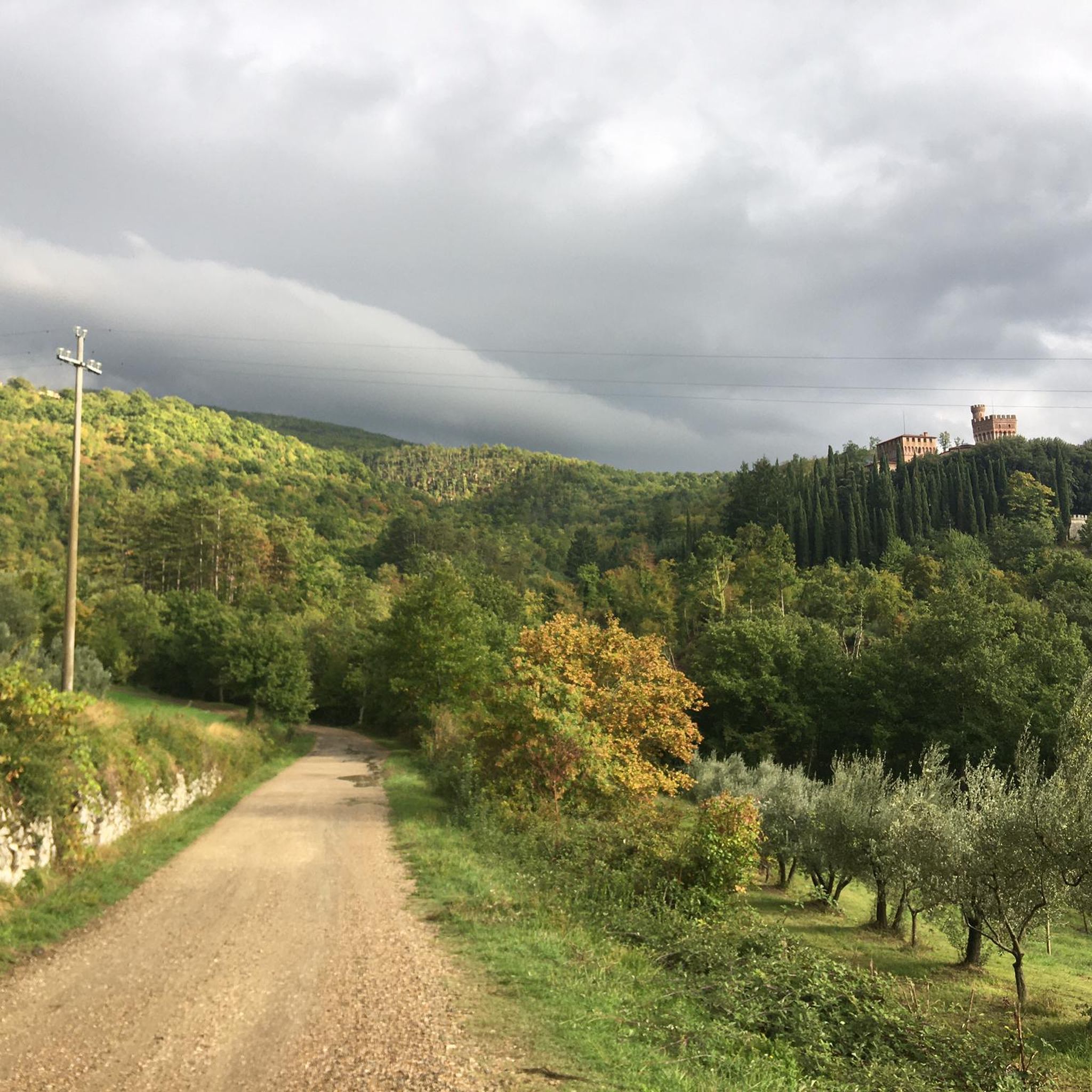
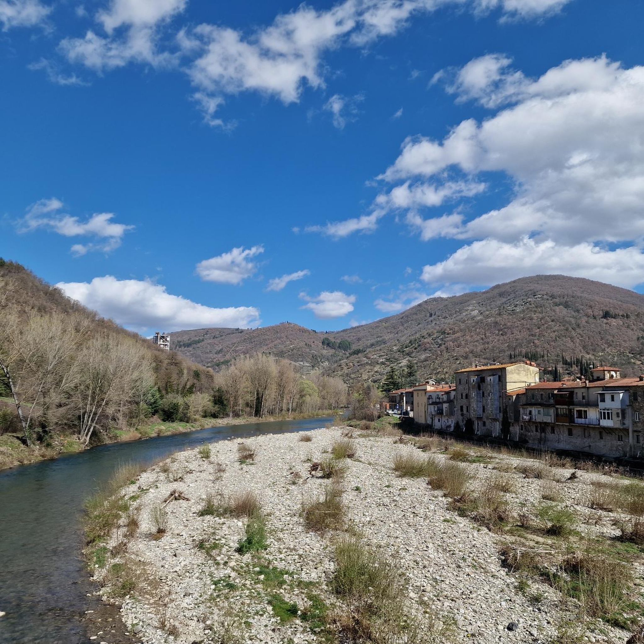
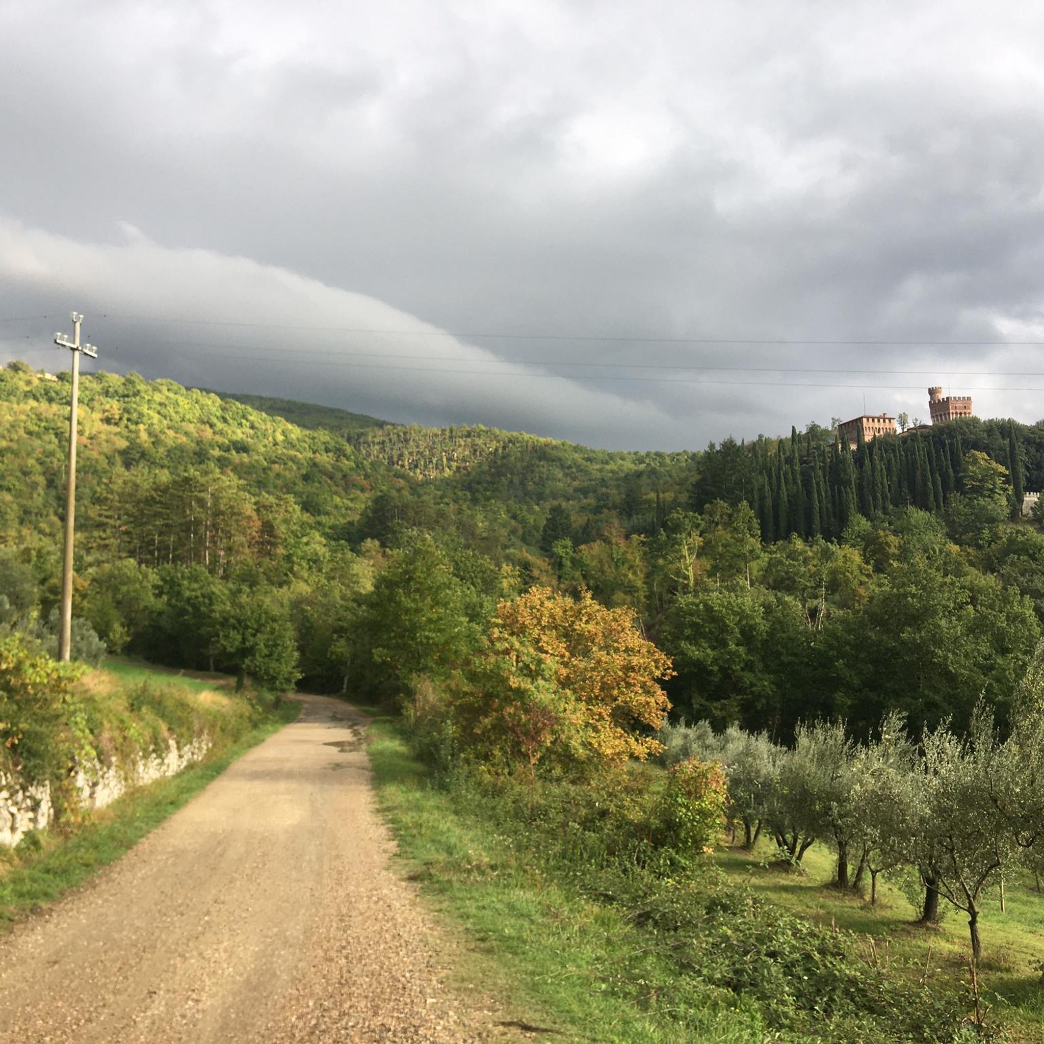
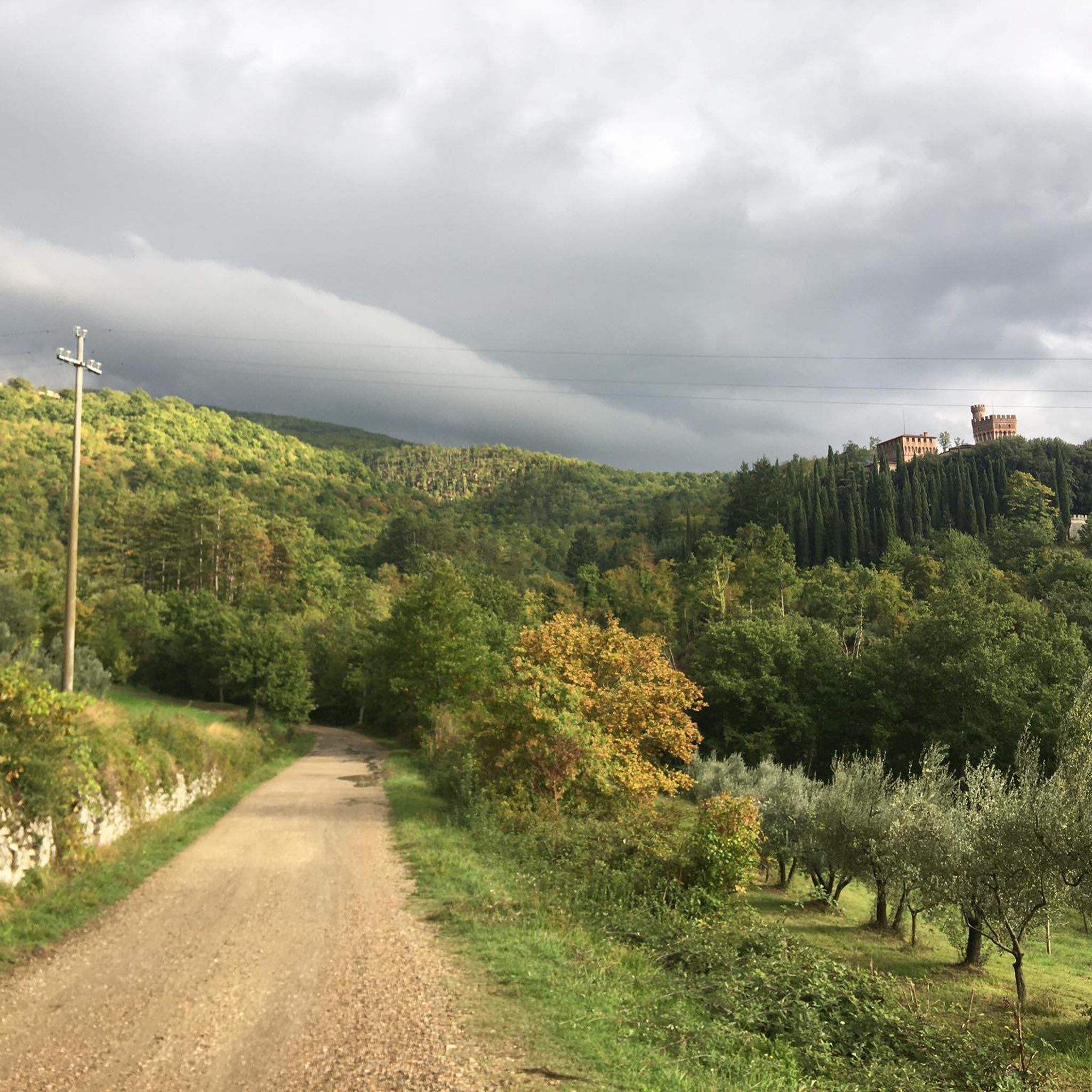
Jogging around Chitignano offers access to a diverse landscape in the Casentino valley, characterized by its mountainous surroundings and extensive network of trails. The region features dense fir and beech forests, such as the Monumental Forest of La Verna, providing shaded paths. Elevation changes are common, with routes traversing the western spur of the Alpe di Catenaia and offering views from hills like Monte Calvano. The area's natural features include paths along streams and historical sites, making it suitable for…
Last updated: August 23, 2026
1
runners
6.04km
00:46
210m
210m
This moderate 3.8-mile jogging route around Monte Santo offers woodlands, varied terrain, and summit views in Parco Nazionale delle Foreste
53
runners
19.7km
02:06
130m
130m
Hard run. Very good fitness required. Mostly paved surfaces. Suitable for all skill levels.

Sign up for free
45
runners
19.1km
02:30
680m
680m
Hard run. Very good fitness required. Mostly paved surfaces. Suitable for all skill levels.
29
runners
12.9km
01:40
500m
500m
Hard run. Very good fitness required. Mostly paved surfaces. Suitable for all skill levels.
5.0
(3)
38
runners
8.33km
00:56
30m
30m
Moderate run. Good fitness required. Mostly paved surfaces. Suitable for all skill levels.
Get access to more routes and recommendations from other explorers.
Sign up for free
Already have an account?
Our route recommendations are based on thousands of hikes, rides, and runs completed by other people on komoot.
Start today with a free account
Your next adventure awaits.
Login or Signup

Tips from the Community

The name of this place is linked to the local tradition of using caves for food preservation. The rocks and the shade of the forest help to isolate the cavities from the outside, maintaining a constant low temperature. It was also common to fill the caves with snow during the winter to increase their cooling power during the warmer months. Even today it is possible to appreciate the difference in temperature between the outside and the inside, especially during the summer.
2
0

Located at 1,254 meters above sea level, the top of Mount Calvano is characterized by an immense meadow between Casentino and Valtiberina. It is not far from the Verna sanctuary and it is not uncommon for you to come across grazing animals.
1
0

Monte Calvano (1254 m above sea level) is a mountain in the Apennines in Italy. There is a path that leads to the summit. Monte Calvano is one of the 307 peaks along the multi-day European long-distance hiking trail E1.
3
0
Here you find yourself at the foot of the rock, which is cut vertically, and look up to the sky to admire the magnificence of the rock! The ascent of the Holy Mountain of La Verna, as “the rough rock between the Tiber and the Arno…” is called, is the place where the “stigmatized” Francis wanted to relive the same torments that Christ suffered on Calvary. The path from Rimbocci up to La Verna is quite strenuous because you have to overcome a large difference in altitude (a good 600m) in just a few km. It leads to an old donkey path, on which you continue uphill with a steep incline to the monastery.
5
0
The exact translation of the rock cave is: “The Ice Box” and that’s exactly how it feels when you get closer. In the past, people used such caves to store food.
4
2
What a sight when you suddenly step out of the forest and come across this open space with a magnificent view.
4
0

Monte Calvano is reached after a few hours' walk from the Sanctuary of La Verna. The 360° view it offers is spectacular, thanks to the meadows for grazing. There are gates to be opened and closed with care due to the possibility of grazing livestock (I have not seen any - journey made in April)
0
0

Evocative view under the rock of the sanctuary. Unfortunately, many tourists particularly appreciate throwing objects from the terrace located there
0
0
Frequently Asked Questions
How many running routes are available around Chitignano?
There are over 60 running routes available around Chitignano, offering a wide variety of experiences for runners. These routes range in difficulty, ensuring options for different fitness levels.
What kind of terrain can I expect on the running trails in Chitignano?
The terrain around Chitignano is incredibly diverse, featuring dense fir and beech forests, mountainous spurs of the Alpe di Catenaia, and scenic valley paths. You'll find a mix of shaded paths, open meadows, and trails with significant elevation changes, providing varied running experiences.
Are there running routes suitable for beginners in Chitignano?
While there are no routes specifically classified as 'easy' in our current selection, many of the 34 moderate routes can be suitable for beginners looking for a gentle challenge. These often involve less extreme elevation changes and well-defined paths.
What do other runners say about the trails in Chitignano?
The running trails in Chitignano are highly rated by the komoot community, with an average score of 5.0 stars from over 20 reviews. Runners often praise the natural beauty, varied terrain, and the peaceful atmosphere of the routes.
Are there any circular running routes in the Chitignano area?
Yes, many of the running routes around Chitignano are circular, allowing you to start and finish at the same point. An example is Around the Monte Santo, a moderate 3.7-mile loop that offers a scenic experience.
Can I bring my dog on the running trails around Chitignano?
Chitignano's natural environment is generally welcoming to dogs. Many trails through the forests and valleys are suitable for running with your canine companion. However, it's always advisable to keep dogs on a leash, especially in protected areas or near wildlife, and to check local regulations for specific trails.
Are there family-friendly running paths in Chitignano?
While specific 'family-friendly' classifications aren't always available, many of the moderate routes, particularly those with less steep inclines and well-maintained surfaces, can be enjoyed by families. Look for paths that wind through the forests or along valley floors for a more relaxed experience.
What interesting sights or landmarks can I see while jogging in Chitignano?
You can encounter several interesting sights. For instance, some routes might lead you near historical sites like the Ubertini Castle or through the ancient Monte Calvano Summit, offering expansive views. You might also pass by natural monuments like The Icehouse of Cattiglio or the serene Monumental Forest of La Verna.
Are there challenging trail running options near Chitignano?
Absolutely. Chitignano offers 26 difficult running routes for those seeking a challenge. Trails like The Icehouse of Cattiglio loop from Chiusi della Verna, an 11.9-mile path with significant elevation gain, provide a demanding and rewarding experience through forested areas.
Where can I find parking for the running trails in Chitignano?
Parking is generally available in and around Chitignano village, as well as at common trailheads for popular routes. Specific parking information can often be found on individual route descriptions or by checking local signage near trail access points.
Are there running routes accessible by public transport in Chitignano?
Access to trailheads by public transport can be limited in this mountainous region. While Chitignano itself is accessible, reaching specific starting points for routes might require a short walk or a private vehicle. It's best to check local bus schedules and route maps for connections to areas like Chiusi della Verna, which serves as a starting point for some routes like Running loop from Chiusi della Verna.
What are the best times of year to go running in Chitignano?
Spring and autumn are generally considered the best seasons for running in Chitignano. The weather is milder, and the natural landscapes are particularly vibrant with blooming flowers or rich autumn colors. Summer can also be pleasant, especially for shaded forest trails, but be mindful of higher temperatures. Winter running is possible, but some higher elevation trails might be affected by snow or ice.
Are there any cafes or places to rest along the running routes?
While many routes traverse natural, undeveloped areas, you'll find cafes and restaurants within Chitignano village and nearby towns like Chiusi della Verna. Some routes might pass by small hamlets or refuges where refreshments could be available. It's always a good idea to carry sufficient water and snacks, especially on longer runs.
Can I find running routes with great views in Chitignano?
Absolutely. The region's mountainous setting, including the Alpe di Catenaia and hills like Monte Calvano, offers numerous opportunities for panoramic views. Routes that ascend to higher elevations or traverse open ridges will reward you with breathtaking vistas of the Casentino valley and surrounding landscapes.
Most popular routes around Chitignano
Most popular attractions around Chitignano

Get inspired with the komoot mobile app


Explore more
Browse the best Running Trails & Routes in other regions.
