The best walks and hikes around Soral
4.5
(1267)
13,487
hikers
586
hikes
Hiking around Soral offers a diverse landscape characterized by gentle hills, river valleys, and agricultural areas, including vineyards. The region features a network of trails that often follow waterways like the Aire River and provide views towards local landmarks such as the Signal de Bernex and Mont Salève. Elevation changes are generally moderate, making the terrain accessible for various hiking abilities.
Best hiking trails around Soral
- The most popular hiking route is Walk along the Aire and the Signal de…
Last updated: July 5, 2026
4.0
(1)
3
hikers
6.09km
01:40
100m
90m
Easy hike. Great for any fitness level. Easily-accessible paths. Suitable for all skill levels.
4.5
(2)
5
hikers
Moderate hike. Good fitness required. Mostly accessible paths. Sure-footedness required.

Sign up for free
4.0
(1)
48
hikers
Moderate hike. Good fitness required. Easily-accessible paths. Suitable for all skill levels.
4
hikers
Moderate hike. Good fitness required. Easily-accessible paths. Suitable for all skill levels.
6
hikers
8.49km
02:17
100m
100m
Moderate hike. Good fitness required. Easily-accessible paths. Suitable for all skill levels.
Get access to more routes and recommendations from other explorers.
Sign up for free
Already have an account?
Our route recommendations are based on thousands of hikes, rides, and runs completed by other people on komoot.
Start today with a free account
Your next adventure awaits.
Login or Signup

Tips from the Community

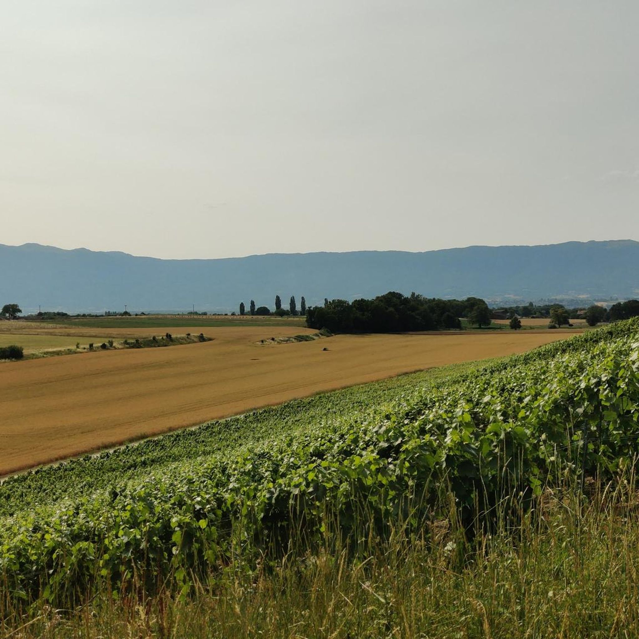
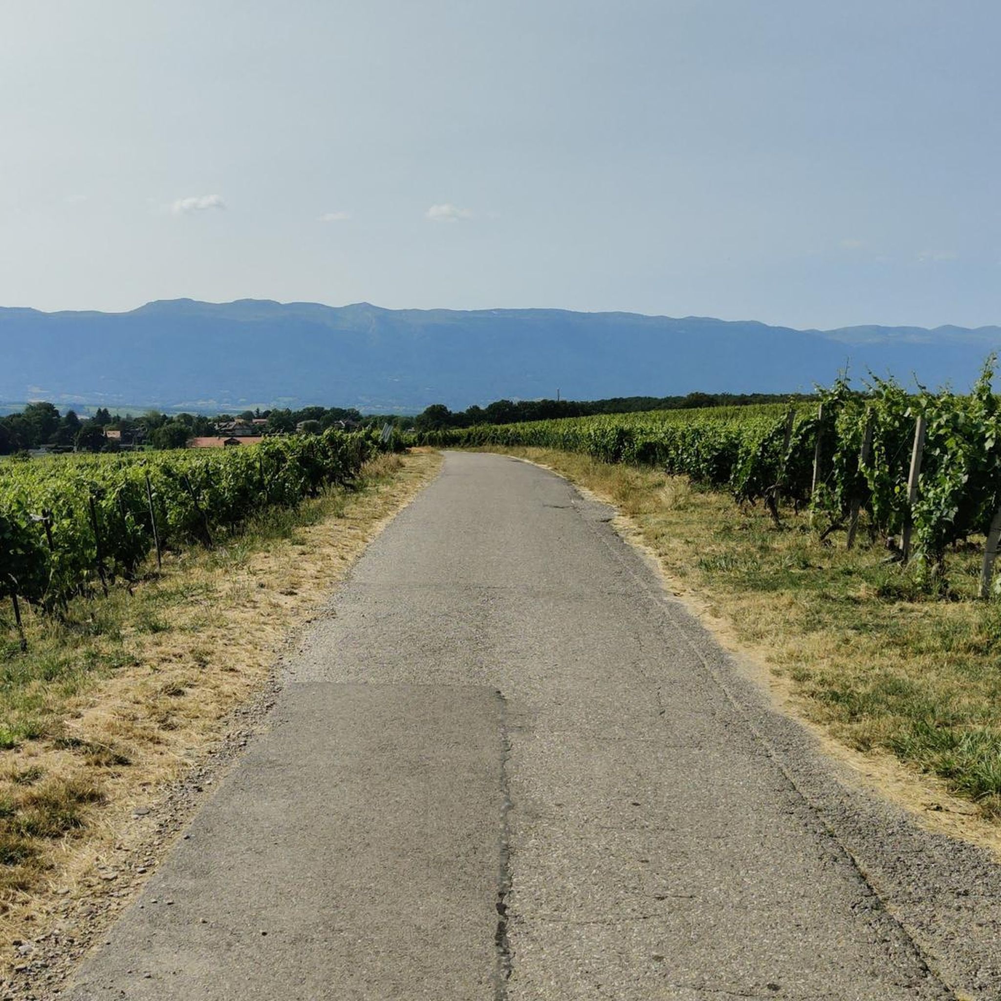
This path is passable and therefore allows all types of bikes to come and pedal between the vines. And above all to enjoy this exceptional viewpoint over the Salève, the plain and the Alps
0
1

From there, you can enjoy a clear view of the French side, particularly of Mont Salève. Le Salève is a very famous mountain where mountaineering was born. There are several high points at 1200m and the climb on foot would take around 1.5 hours from the village below.
1
0
Craft brewery in Confignon. Tasting Monday to Saturday from 4 p.m. to 8 p.m.
0
0
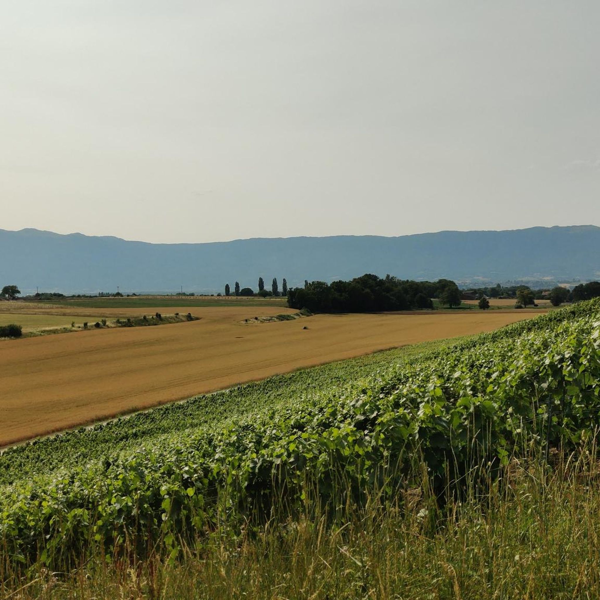
The Bernex signal is a hill which rises to an altitude of 509 meters. It dominates the Aire plain and offers lovely views of Geneva's Champagne, the Salève and the Jura massif.
1
0

It is the second highest point in the canton of Geneva (510m) after Moniaz. You have to take a few steps on foot from the location of the must-see to reach the summit. There we discover a lovely panorama of the Geneva region. 4 orientation tables give us information on the fauna, the history of the region and some anecdotes.
0
0
The Bernex signal is a hill which rises to an altitude of 509 meters. It dominates the Aire plain and offers lovely views of Geneva's Champagne, the Salève and the Jura massif.
0
0
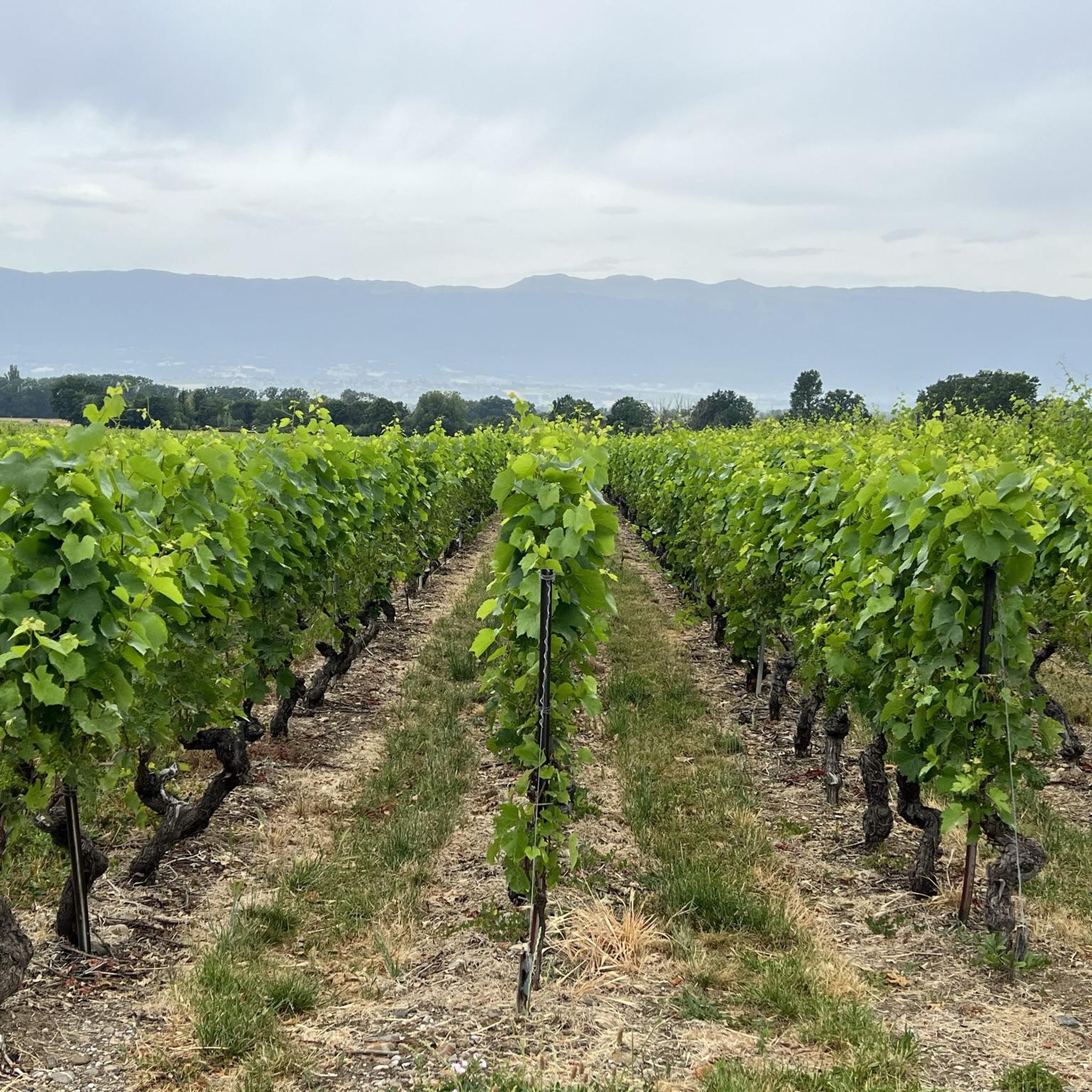
A beautiful gravel path through the vineyards and a superb panorama of the mountains (Salève chain, direction Mont Blanc). The best views will be in summer when the vines are green and the weather is sunny.
0
0
Pretty and sturdy covered bridge over the L'Aire river. It is made of wood and is accessible to everyone. You may come across bikers on the path so be careful. Near the footbridge you will also see signs with directions for various hikes.
0
0
Frequently Asked Questions
How many hiking trails are available around Soral?
There are over 580 hiking routes around Soral, catering to various skill levels and preferences. More than 320 of these are considered easy, making the region accessible for many hikers.
Are there easy hiking trails suitable for beginners or casual walkers in Soral?
Yes, Soral offers over 320 easy hiking trails. A great option is the Walk along the Aire and the Signal de Bernex — loop from Lully, which is an easy 3.8-mile (6.1 km) route featuring riverside paths and views from Signal de Bernex.
What kind of scenery can I expect on hikes around Soral?
Hiking around Soral offers a diverse landscape characterized by gentle hills, river valleys, and agricultural areas, including vineyards. Many trails follow waterways like the Aire River and provide views towards local landmarks such as the Signal de Bernex and Mont Salève.
Are there any circular hiking routes in the Soral area?
Yes, many routes around Soral are designed as loops. For example, the Discovery of the south of Bernex — loop through the vineyards from Sézenove is a moderate 7.2-mile (11.5 km) path that winds through scenic vineyards and the countryside.
What are some notable landmarks or attractions to see while hiking near Soral?
While hiking near Soral, you can enjoy views of Mont Salève and the Signal de Bernex. Other nearby attractions include the famous Jet d'Eau Fountain in Geneva, the historic St. Pierre Cathedral Geneva, and natural features like the Orjobet Cave.
Is Soral a good destination for family-friendly hikes?
Given the region's gentle hills and moderate elevation changes, many of Soral's trails are suitable for families. The numerous easy routes, often following river paths, provide accessible options for all ages. Look for routes with shorter distances and minimal ascent.
Can I bring my dog on the hiking trails in Soral?
Most trails in the Soral region are dog-friendly, but it's always advisable to keep your dog on a leash, especially when passing through agricultural areas, near livestock, or in nature reserves. Be sure to check specific route details for any restrictions.
What is the best time of year to go hiking in Soral?
The best time for hiking in Soral is typically from spring to autumn (April to October). During these months, the weather is generally mild and pleasant, making it ideal for exploring the vineyards, river paths, and countryside. Spring brings blooming flora, while autumn offers vibrant colors.
Are there any hikes that feature unique natural elements like wooden footbridges?
Yes, the Bois des Bis Wooden Footbridge – Aire River Path loop from Saint-Julien-en-Genevois is a 5.7-mile (9.2 km) trail that leads through riverine landscapes and features a distinctive wooden footbridge, offering a unique point of interest.
What do other hikers say about the trails in Soral?
The routes in Soral are highly rated by the komoot community, with an average score of 4.6 stars from over 1,100 reviews. Hikers often praise the well-maintained paths, the peaceful riverside walks, and the beautiful vineyard scenery.
Are there any longer, more challenging hikes around Soral?
While Soral is known for its moderate terrain, there are longer routes that offer more of a challenge. For instance, the View of Mont Salève – View from Signal de Bernex loop from Saint-Julien-en-Genevois is a moderate 7.1-mile (11.5 km) hike with more significant elevation changes, providing extensive views.
Is public transport available to access hiking trails in Soral?
Soral and its surrounding villages are generally well-connected by local bus services, particularly from Geneva. Many trailheads are accessible via public transport, making it possible to reach various starting points without a car. It's recommended to check local bus schedules for specific routes.
Where can I find parking for hiking trails in Soral?
Parking is typically available in the villages and towns that serve as starting points for hikes, such as Lully, Sézenove, and Bernex. Look for designated public parking areas, often near community centers or trail access points. Always check local signage for any parking restrictions or fees.
Most popular attractions around Soral

Get inspired with the komoot mobile app


Explore more
Browse the best Hikes in other regions.
