The best walks and hikes around Caldarola
4.6
(728)
4,202
hikers
21
hikes
Hiking around Caldarola offers diverse natural landscapes within Italy's Marche region. The terrain features unique geological formations, such as the reddish rock pinnacles of Lame Rosse, and the clear waters of Lake Fiastra. The area is characterized by a mix of valleys, hills, and historical sites, providing varied elevation and scenery for outdoor activities.
Best hiking trails around Caldarola
- The most popular hiking route is Castello di Pievefavera – Panoramic View of Vestignano loop from Caldarola, a 7.0 miles (11.2 km) trail that takes 3 hours 15 minutes to complete. This moderate route offers panoramic views of the surrounding historical castles and countryside.
- Another top favourite among local hikers is The Little Waterfalls of the Elves loop from Caldarola, a moderate 7.2 miles (11.5 km) path. This trail leads through natural scenery, highlighting the area's small waterfalls.
- Local hikers also love the The Little Waterfalls of the Elves loop from Caccamo, a 4.9 miles (7.8 km) trail leading through scenic paths with natural water features, often completed in about 2 hours 5 minutes.
- Hiking around Caldarola is defined by reddish rock formations, artificial lakes, and historical castles. The network offers options for different ability levels, from moderate loops to more challenging routes.
- The routes in Caldarola are highly rated by the komoot community with an average score of 4.6 stars from over 700 reviews. More than 4000 hikers have used komoot to explore Caldarola's varied terrain.
Last updated: June 24, 2026
4.8
(8)
21
hikers
Moderate hike. Good fitness required. Easily-accessible paths. Suitable for all skill levels.
5.0
(1)
11
hikers
11.6km
03:09
170m
170m
Moderate hike. Good fitness required. Easily-accessible paths. Suitable for all skill levels.

Sign up for free
5.0
(1)
9
hikers
7.84km
02:08
110m
110m
Moderate hike. Good fitness required. Easily-accessible paths. Suitable for all skill levels.
5.0
(1)
4
hikers
9.29km
02:31
120m
120m
Moderate hike. Good fitness required. Easily-accessible paths. Suitable for all skill levels.
4
hikers
6.39km
01:51
150m
150m
Easy hike. Great for any fitness level. Easily-accessible paths. Suitable for all skill levels.
Get access to more routes and recommendations from other explorers.
Sign up for free
Already have an account?
Our route recommendations are based on thousands of hikes, rides, and runs completed by other people on komoot.
Start today with a free account
Your next adventure awaits.
Login or Signup
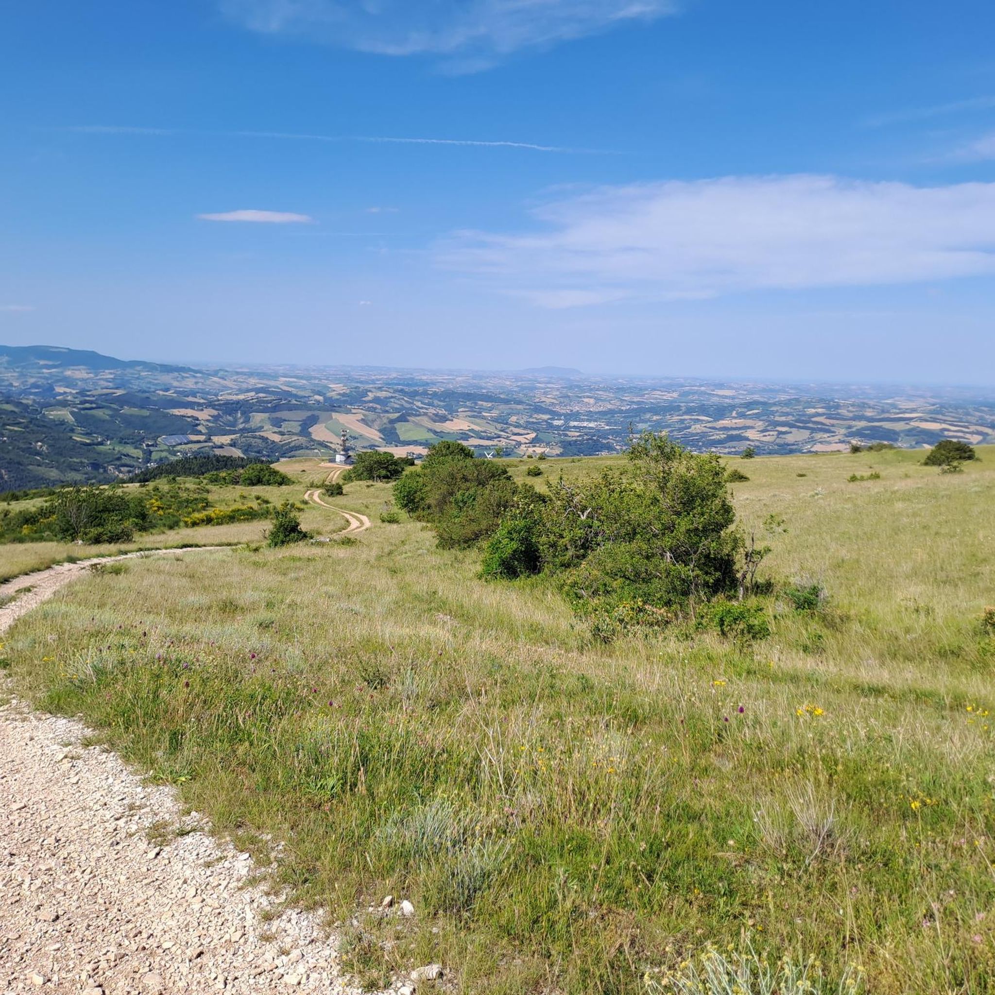
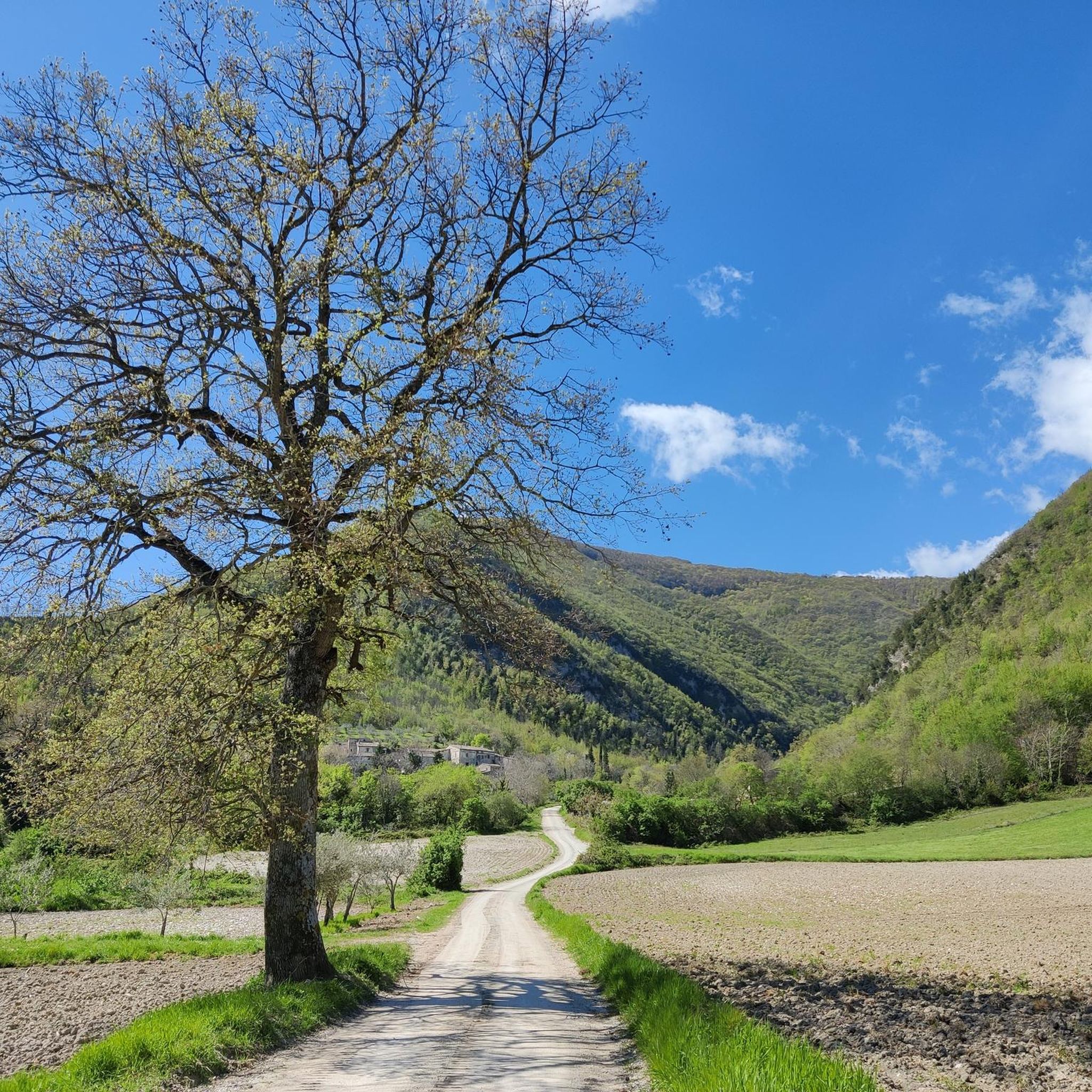
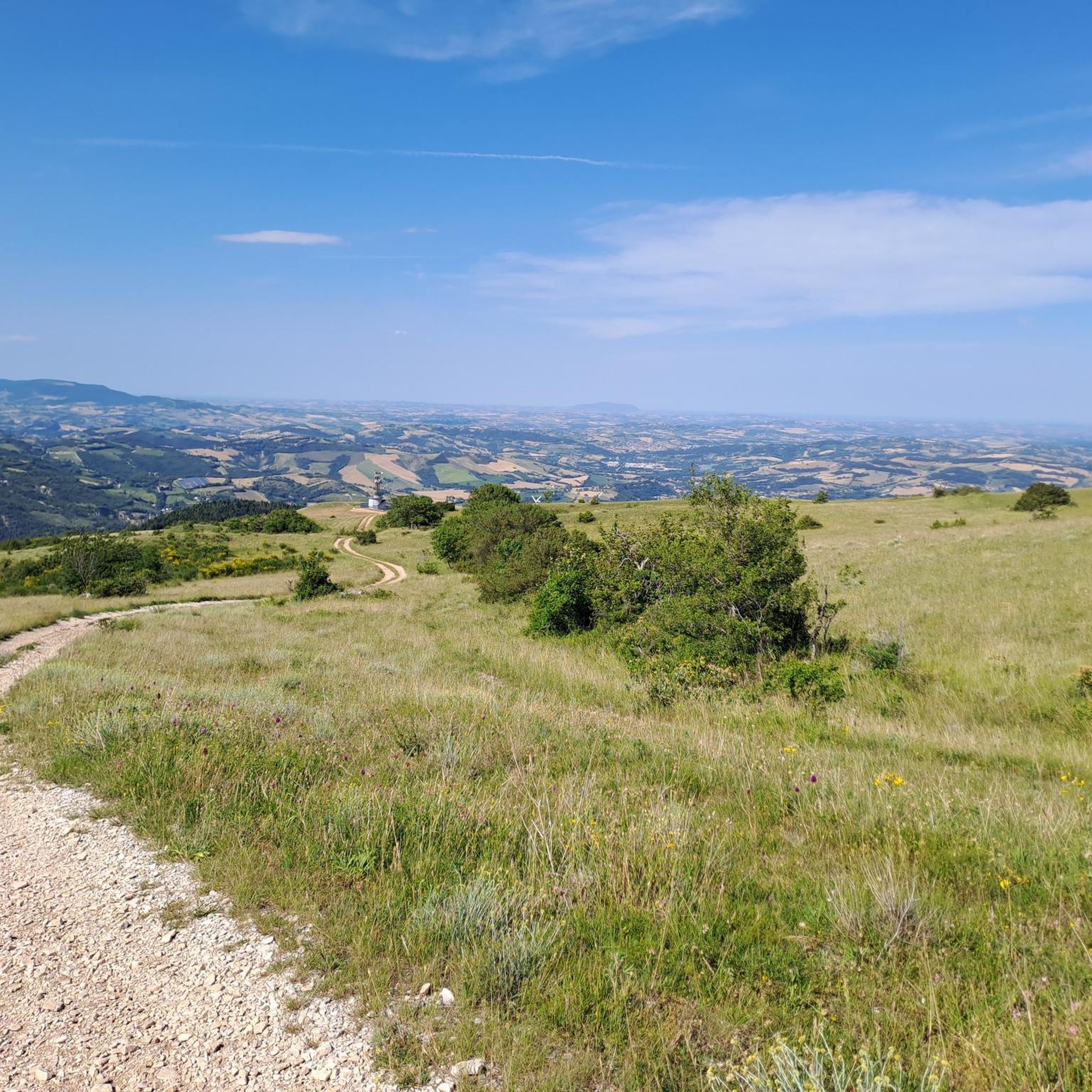

Tips from the Community

The Parchetto delle Cascatelle dei Folletti located along the Fosso Cimarra, was recently designed and created by the Comunanza Agraria di Valcimarra with the aim of enhancing an area that had been neglected. The ancient valley, immersed in an evocative forest, has been transformed into an accessible place characterized by very well-kept streams and a very suggestive waterfall I must say. A legend called Sibilla Cimarra tells of hypothetical passages that would lead to the Sibillini mountains. A nice place where you can also spend a lunch or dinner, it is very cool and there are also several lights for lighting in the evening.
0
0
Frequently Asked Questions
What kind of terrain can I expect when hiking around Caldarola?
The Caldarola region offers a diverse landscape, characterized by a mix of valleys, hills, and unique geological formations. You'll encounter striking reddish rock pinnacles, such as those found at Lame Rosse, and clear waters around Lake Fiastra. The trails vary from gentle paths along the lake to more challenging routes through hilly terrain, providing varied elevation and scenery.
Are there any easy hiking trails suitable for beginners in Caldarola?
Yes, Caldarola offers several easy hiking options. Out of the approximately 20 routes available, 5 are classified as easy, making them suitable for beginners or those looking for a more relaxed walk. These trails typically feature less elevation gain and shorter distances.
Can I find trails with waterfalls in the Caldarola area?
Yes, the Caldarola area features trails that highlight natural water features, including small waterfalls. For example, the The Little Waterfalls of the Elves loop from Caldarola is a moderate 7.2-mile (11.5 km) path that leads through scenic natural scenery with these charming waterfalls.
What historical sites or landmarks can I see while hiking in Caldarola?
Beyond natural beauty, Caldarola is rich in history. You can explore historical castles such as the Castello di Pievefavera, which offers panoramic views. The town of Caldarola itself is home to the Castello Pallotta, a historical castle with origins dating back to the 9th century. Other castles in Croce, Vestignano, and Pievefavera also dot the communal territory, providing cultural enrichment after a day on the trails.
Are there any circular hiking routes available in Caldarola?
Yes, many of the hiking routes around Caldarola are circular, offering convenient starting and ending points. A popular example is the Castello di Pievefavera – Panoramic View of Vestignano loop from Caldarola, which is a moderate 7.0-mile (11.2 km) trail. Another option is the Hiking loop from Caldarola, covering 9.1 miles (14.6 km).
What do other hikers say about the trails in Caldarola?
The hiking trails in Caldarola are highly regarded by the komoot community, holding an average rating of 4.6 stars from over 700 reviews. Hikers frequently praise the varied terrain, the stunning geological formations like Lame Rosse, and the blend of natural beauty with historical sites.
Are there any challenging hikes for experienced trekkers in Caldarola?
For experienced trekkers seeking a challenge, Caldarola offers a few difficult routes. One such option is the Eremo dei Benedettini – Castello di Pievefavera loop from Valcimarra bassa, a demanding 18.7-mile (30.1 km) trail with significant elevation gain, perfect for a longer, more strenuous adventure.
What natural features are prominent in the Caldarola hiking region?
The Caldarola hiking region is renowned for its unique natural features. The most striking are the Lame Rosse, often called the 'Grand Canyon of the Marche,' with their dramatic reddish rock pinnacles. You'll also find the clear waters of Lake Fiastra, and the challenging Cave of the Friars for those seeking adventure.
Are there any trails suitable for families with children in Caldarola?
While specific 'family-friendly' classifications aren't always available, the 5 easy routes in Caldarola are generally suitable for families. Additionally, the pedestrian path along Lake Fiastra offers a pleasant and accessible option for walks with children, providing scenic views and a relaxed environment.
Where can I find places to explore or viewpoints with great scenery?
The Caldarola region is rich in scenic viewpoints. The Lame Rosse offer an incredible geological panorama. For stunning lake views, visit the Beautiful view of the eastern shore of Lake Fiastra. Many trails, such as the Castello di Pievefavera – Panoramic View of Vestignano loop from Caldarola, also provide expansive vistas of the surrounding countryside and historical sites.
What is the best time of year to go hiking in Caldarola?
The Caldarola region is generally pleasant for hiking from spring through autumn. Spring brings lush greenery and comfortable temperatures, while autumn offers vibrant foliage. Summer can be warm, so early morning or late afternoon hikes are recommended. Winter hiking is possible, but some higher or more exposed trails might require appropriate gear due to colder conditions.
Most popular routes around Caldarola
Most popular attractions around Caldarola

Get inspired with the komoot mobile app


Explore more
Browse the best Hikes in other regions.
