The best walks and hikes around Sant'Angelo In Pontano
4.2
(221)
1,122
hikers
34
hikes
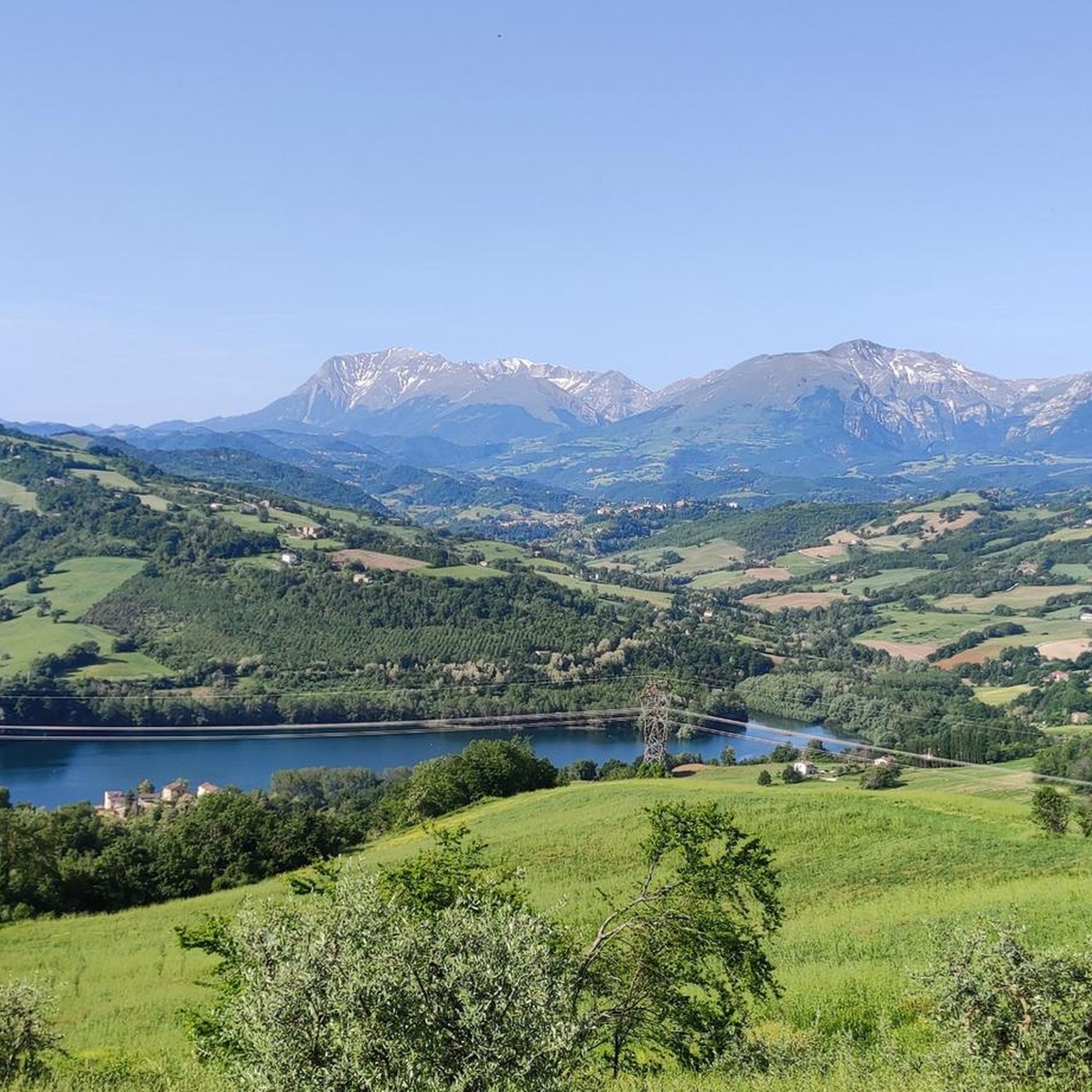
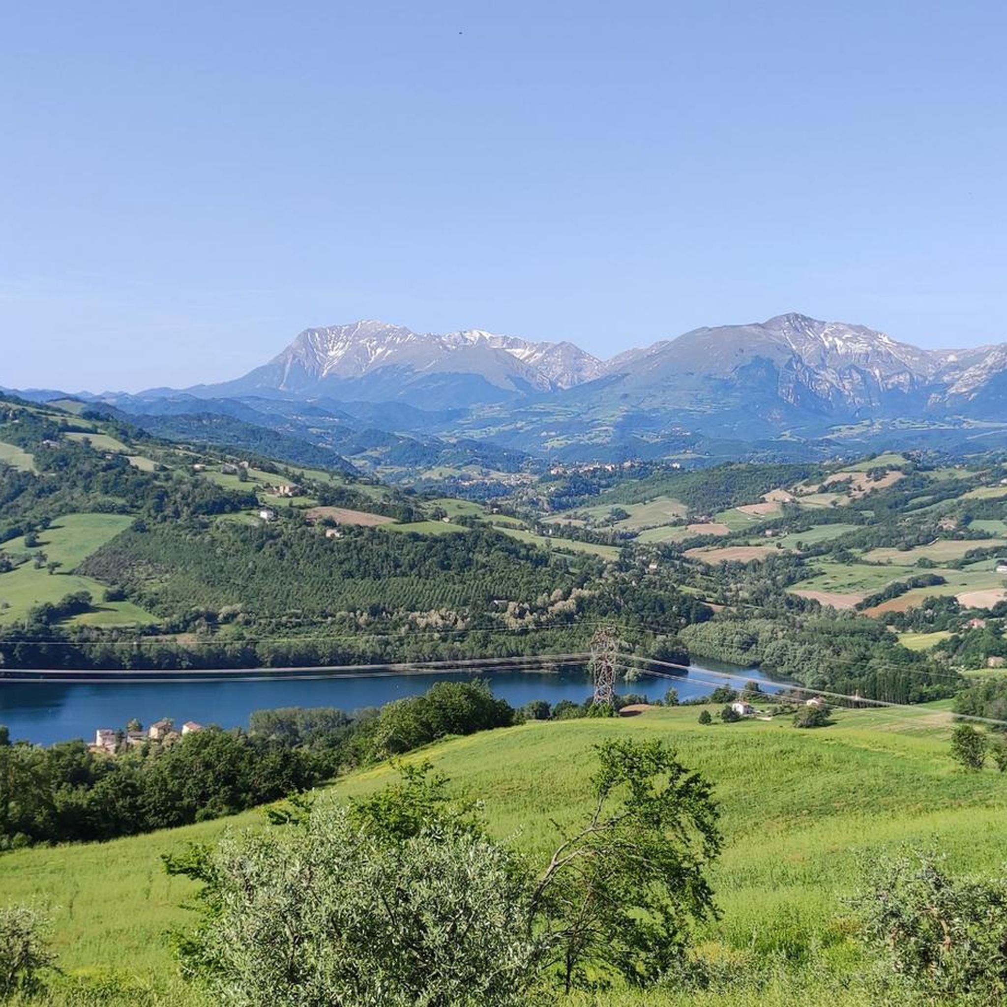
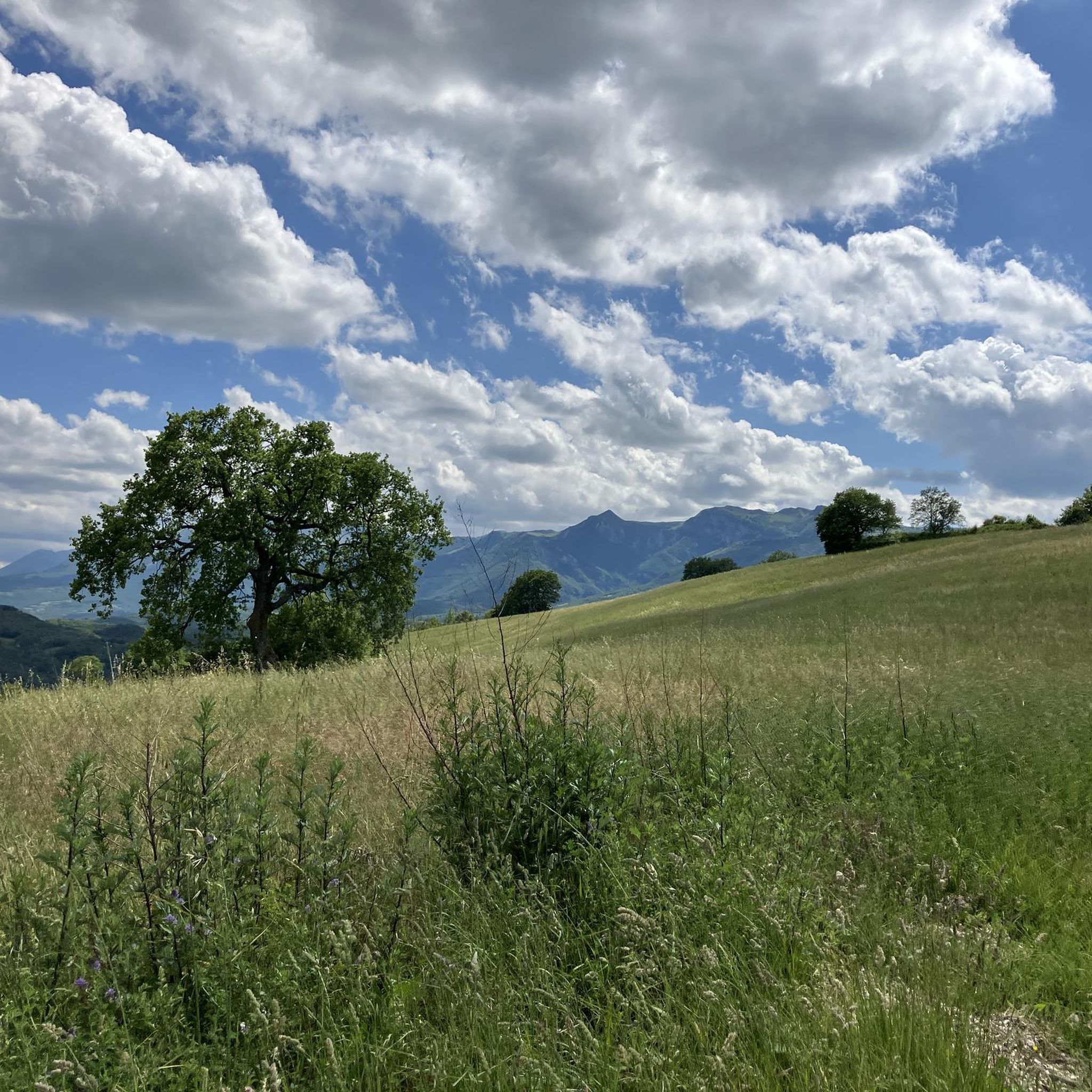
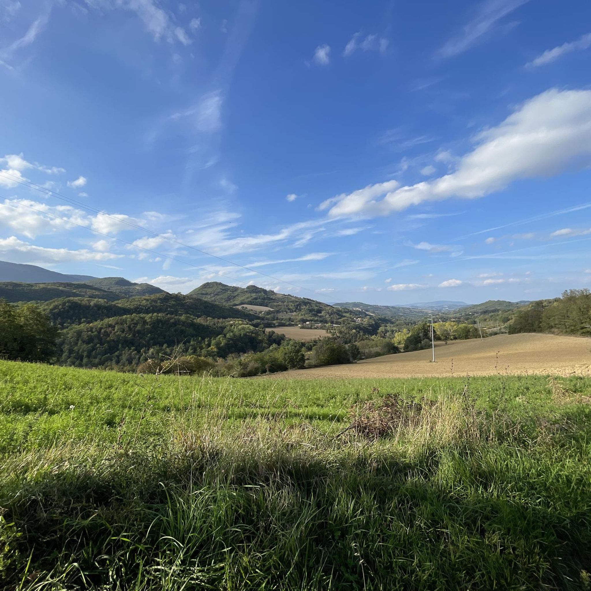
Hiking around Sant'Angelo In Pontano offers diverse landscapes, from rolling hills to dramatic mountain terrain. The region is characterized by an extensive network of hills that gently descend from the Apennine mountains, featuring a patchwork of fields, vineyards, and oak trees. It provides panoramic views over the Ete Morto and Tenna river valleys, with numerous small streams enhancing the natural beauty. Sant'Angelo In Pontano also serves as a gateway to the Monti Sibillini National Park, known for its limestone rock…
Last updated: July 9, 2026
3.5
(6)
16
hikers
11.8km
03:24
280m
280m
Moderate hike. Good fitness required. Easily-accessible paths. Suitable for all skill levels.
4.5
(2)
15
hikers
10.8km
02:57
160m
160m
Moderate hike. Good fitness required. Easily-accessible paths. Suitable for all skill levels.

Sign up for free
10
hikers
5.05km
01:21
60m
60m
Easy hike. Great for any fitness level. Easily-accessible paths. Suitable for all skill levels.
3.0
(2)
5
hikers
7.66km
02:15
210m
210m
Moderate hike. Good fitness required. Easily-accessible paths. Suitable for all skill levels.
4.0
(1)
4
hikers
9.56km
02:50
300m
300m
Moderate hike. Good fitness required. Easily-accessible paths. Suitable for all skill levels.
Get access to more routes and recommendations from other explorers.
Sign up for free
Already have an account?
Our route recommendations are based on thousands of hikes, rides, and runs completed by other people on komoot.
Start today with a free account
Your next adventure awaits.
Login or Signup
Tips from the Community

A beautiful place to relax and have picnics surrounded by nature with plenty of cycle touring roads
0
0

this and the other routes you find in the area can be practiced both on foot and by bike
0
0

Simple walk through the woods, no particular effort required, suitable for everyone and always follow the signs
0
0

Excellent walk, I took the wrong path and took a slightly more impervious one, but not bad, if you have a pair of sticks and slightly more technical trekking shoes with you, from the ones I used it is a pleasure to do it.
0
0

The Santa Maria di Chiaravalle di Fiastra abbey is a treasure of Cistercian architecture, with an imposing brick cloister and 15th-century frescoes of great value.
1
1

demanding climb, but there are also variations
1
0

Urbs Salvia archaeological park
1
0
Beautiful medieval abbey with the nearby forest of the Bandini reserve forbidden to bicycles, while the stretch on the plain along which a wetland frequented by herons can be visited.
1
0
Frequently Asked Questions
How many hiking trails are available around Sant'Angelo In Pontano?
There are over 20 hiking routes around Sant'Angelo In Pontano, offering a variety of experiences from easy strolls to more challenging treks. The komoot community has explored these trails nearly 900 times.
What kind of terrain can I expect on hikes near Sant'Angelo In Pontano?
The region features diverse terrain, from rolling hills with a patchwork of fields, vineyards, and oak trees, to the more dramatic limestone formations, deep gorges, and expansive plateaus of the nearby Monti Sibillini National Park. You'll find paths winding through oak woods and alongside numerous small streams.
Are there any family-friendly hiking options in the area?
Yes, there are several easy routes suitable for families. For instance, the Way of the Lost Waterfalls is an easy 4.1-mile (6.6 km) loop featuring picturesque waterfalls. Another easy option is the Lago di San Ruffino loop from Lago di San Ruffino, which is 3.1 miles (5.1 km) and offers pleasant lakeside scenery.
Can I find hikes with waterfalls near Sant'Angelo In Pontano?
Absolutely. The region is known for its beautiful waterfalls. You can explore the Way of the Lost Waterfalls, a 4.1-mile loop, or the Lu Vagnatò Waterfall – View of Sarnano loop from Sarnano, which is an easy 2.6-mile (4.1 km) route. The Ancient Mill Waterfalls and Lu Vagnatò Waterfall are also notable natural features in the area.
What are the best times of year to go hiking in Sant'Angelo In Pontano?
The spring and autumn months are generally ideal for hiking. Spring brings spectacular blooms, especially in the Monti Sibillini National Park, while autumn offers pleasant temperatures and vibrant foliage. Summers can be warm, but higher elevations in the Sibillini mountains provide cooler options. Winters can be cold, particularly in the mountains.
Are there any circular hiking routes available?
Yes, many routes in the area are circular. Popular options include the Way of the Lost Waterfalls, the Lago di San Ruffino loop from Lago di San Ruffino, and the Lu Vagnatò Waterfall – View of Sarnano loop from Sarnano. These loops allow you to start and end at the same point, making logistics easier.
What interesting landmarks or attractions can I see while hiking?
Beyond the natural beauty, you can explore historical sites and charming villages. The village of Sant'Angelo in Pontano itself offers a walk to its fortress ruins for extraordinary panoramas. Nearby, you might encounter the Abbadia di Fiastra Abbey and Nature Reserve or the Historic Village of Sarnano, which is part of the Historic Village of Sarnano – Acquasanta Pools loop from Sarnano route.
What do other hikers enjoy most about hiking in Sant'Angelo In Pontano?
The hiking routes around Sant'Angelo In Pontano are highly rated by the komoot community, with an average score of 4.1 stars from over 160 reviews. Hikers often praise the diverse landscapes, from the serene rolling hills and river valleys to the dramatic scenery of the Monti Sibillini National Park, as well as the charming villages and natural features like waterfalls.
Are there any moderate or challenging hikes for experienced trekkers?
Yes, while there are many easy routes, the region also offers moderate and difficult options, especially as you venture closer to the Monti Sibillini National Park. An example of a moderate route is the Historic Village of Sarnano – Acquasanta Pools loop from Sarnano, which is 6.8 miles (10.9 km) long and winds through varied scenery. The Monti Sibillini National Park itself provides an extensive network of trails, including more challenging routes requiring good fitness.
Is public transport available to reach hiking trailheads?
While Sant'Angelo in Pontano is a charming village, public transport options to specific trailheads might be limited. It's advisable to check local bus schedules if you plan to rely on public transport. Many visitors find it more convenient to use a car to access the wider network of trails, particularly those further into the Monti Sibillini National Park.
Are there any hikes that include lakes or water features?
Yes, you can find hikes that feature lakes. The Lago di San Ruffino loop from Lago di San Ruffino is a 3.1-mile (5.1 km) trail that takes you through pleasant lakeside scenery. Additionally, some routes, like the Historic Village of Sarnano – Acquasanta Pools loop from Sarnano, pass by natural pools.
What is the Monti Sibillini National Park and how accessible is it from Sant'Angelo In Pontano?
The Monti Sibillini National Park, often called the 'Blue Mountains,' is a vast protected area covering 70,000 hectares, known for its dramatic limestone landscapes, deep gorges, and rich biodiversity. Sant'Angelo in Pontano serves as a gateway to this park, making it relatively accessible for day trips to explore its extensive network of trails, which cater to all fitness levels.
Most popular routes around Sant'Angelo In Pontano
Most popular attractions around Sant'Angelo In Pontano

Get inspired with the komoot mobile app


Explore more
Browse the best Hikes in other regions.
