The best road cycling routes around Monte Cavallo
4.8
(21)
1,081
riders
55
rides
Road cycling routes around Monte Cavallo traverse a landscape characterized by significant elevation changes, including challenging climbs and descents. The region features a mix of natural and historical points of interest, such as lakes, gorges, and ancient sanctuaries. Road cyclists can expect varied terrain, from routes skirting bodies of water to those ascending towards mountain passes. The area offers diverse road cycling experiences across its varied topography.
Best road cycling routes around Monte Cavallo
- The most popular road cycling route…
Last updated: October 11, 2026
5.0
(2)
160
riders
114km
05:47
1,870m
1,870m
Hard road ride. Very good fitness required. Mostly well-paved surfaces and easy to ride.
71
riders
78.1km
03:59
1,280m
1,280m
Hard road ride. Very good fitness required. Mostly well-paved surfaces and easy to ride.

57
riders
66.5km
03:42
1,390m
1,390m
Hard road ride. Very good fitness required. Mostly well-paved surfaces and easy to ride.
5.0
(1)
47
riders
97.8km
04:41
1,370m
1,370m
Hard road ride. Very good fitness required. Mostly well-paved surfaces and easy to ride.
42
riders
116km
06:41
2,770m
2,770m
Hard road ride. Very good fitness required. Mostly well-paved surfaces and easy to ride.
Get access to more routes and recommendations from other explorers.
Already have an account?
Our route recommendations are based on thousands of hikes, rides, and runs completed by other people on komoot.
Start today with a free account
Your next adventure awaits.
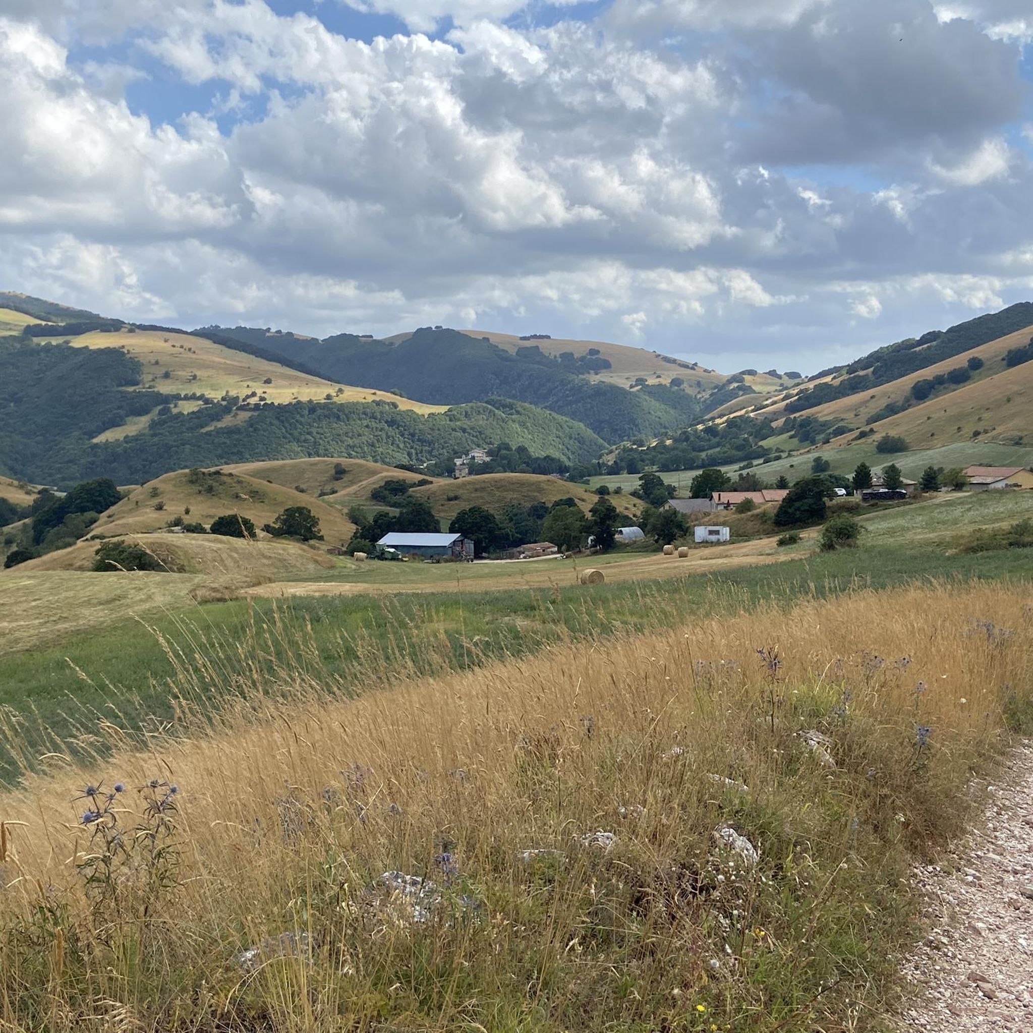
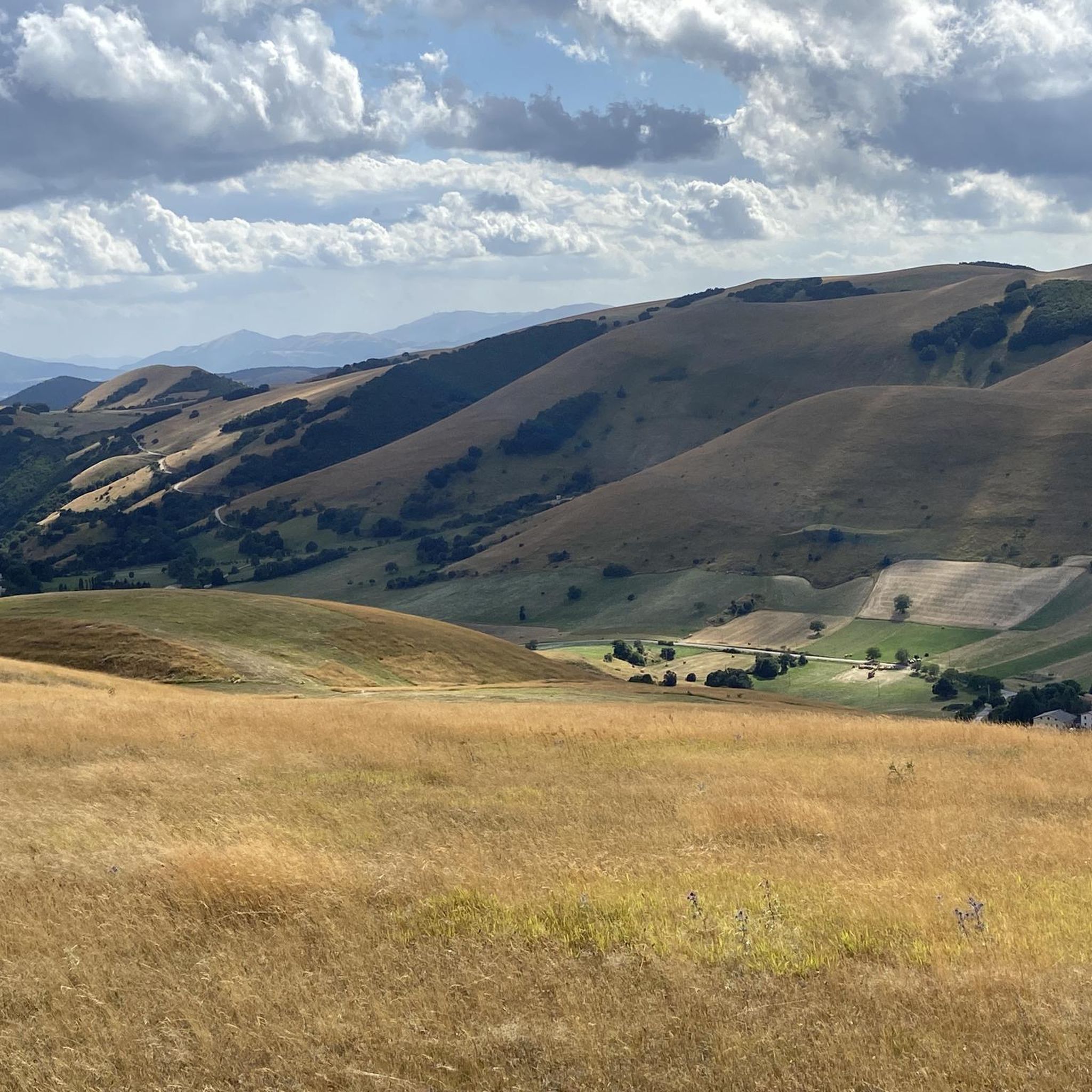

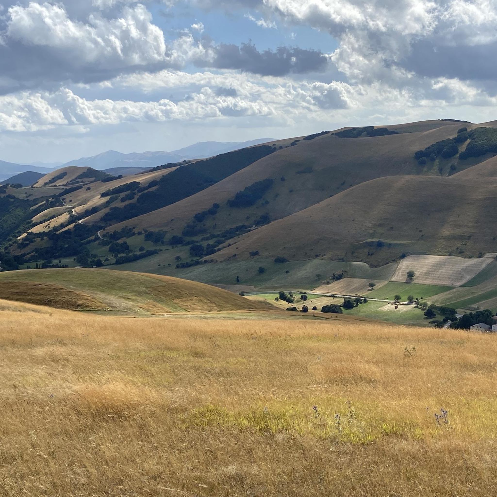
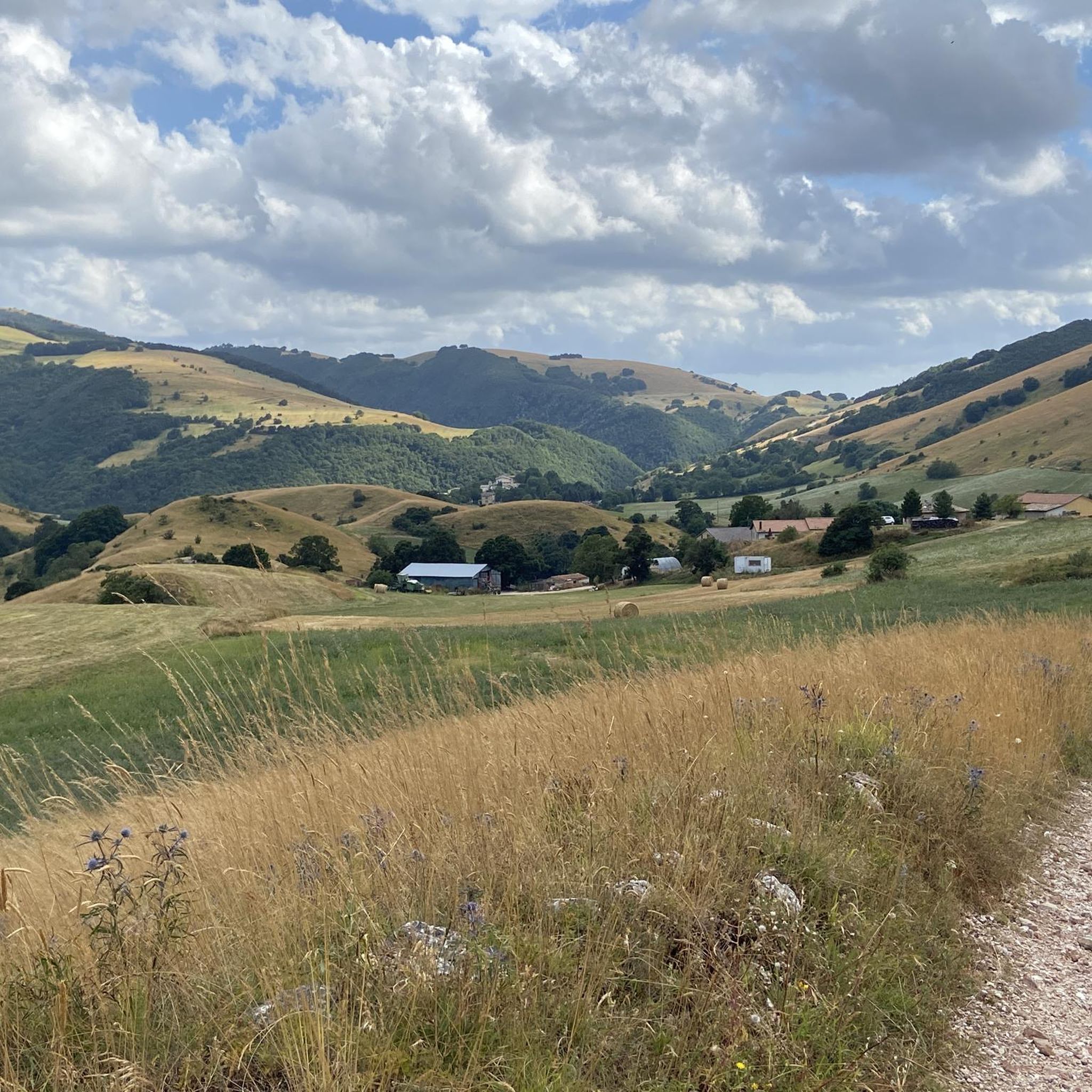
Tips from the Community

Pleasant to ride pass, connecting Umbria with Le Marche. Good road surface, relatively even gradient, little traffic!
0
0

RASIGLIA, 648 meters above sea level, is located about 17 km above Foligno. Recently known as the "Borgo dei Streams" or the "Venice of Umbria" due to the streams that flow through the small village.
0
0

The climb is long with regular gradients.
15
0
This is basically where the climb to Lake Fiastra begins. Shortly after this fork, I chose to turn left, about 500 meters/1 km, because it allows us to reach the lake from a side that allows us to enjoy almost the entire basin from a different perspective than the tourist one. The climb is challenging, but we would be rewarded with the beautiful view that awaits us above the lake.
2
0

A WONDERFUL SMALL VILLAGE THAT WILL LEAVE YOU OPEN-MOUTHED
0
0

Maddalena Pass
0
0

Not a very long climb, but challenging, especially in the first part. The road is hidden in the middle of the woods. It leads only to a small village and is less busy even compared to the four passes parallel to it.
0
0
Panoramic, one of the most beautiful roads in the region
1
0
Frequently Asked Questions
How many road cycling routes are available around Monte Cavallo?
There are 45 road cycling routes around Monte Cavallo, catering to various skill levels. This includes 3 easy routes, 21 moderate routes, and 21 difficult routes.
Are there easy road bike trails for beginners in Monte Cavallo?
Yes, Monte Cavallo offers 3 easy road cycling routes. These routes are designed for those new to road cycling or looking for a less strenuous ride.
What kind of challenges can advanced road cyclists expect in Monte Cavallo?
Advanced road cyclists will find 21 difficult routes around Monte Cavallo, characterized by significant elevation changes, including challenging climbs and descents. Routes like the Villa Lucio – Sanctuary of Macereto loop from Muccia, covering over 116 km with significant elevation gain, offer a substantial challenge.
Are there any long-distance road cycling routes in the Monte Cavallo region?
Yes, the region features several long-distance routes. For example, the Lake Fiastra – Lake Caccamo loop from Colfiorito is a difficult 113.4 km trail, and the Villa Lucio – Sanctuary of Macereto loop from Muccia extends to 116.4 km.
What scenic viewpoints can I find along the road cycling routes in Monte Cavallo?
The routes often provide panoramic views of the surrounding hills and natural landscapes. The Church of Cupi – Sanctuary of Macereto loop from Muccia, for instance, offers scenic vistas as it guides riders through historical sites. You can also find highlights like the Colfiorito Pass which offers expansive views.
Are there any loop routes for road cycling around Monte Cavallo?
Many of the road cycling routes in Monte Cavallo are designed as loops, allowing you to start and finish in the same location. Popular examples include the Lake Fiastra – Lake Caccamo loop from Colfiorito and the Nera Gorges – Colfiorito Pass loop from Muccia.
What natural attractions can I see along the road cycling routes?
The region is characterized by its lakes and gorges. You can cycle past notable bodies of water like Lake Fiastra and Lake Caccamo, and through areas such as the Nera Gorges. The Rasiglia Springs and Waterfalls and the Menotre River in Rasiglia are also nearby natural highlights.
Are there historical landmarks or settlements to explore near the cycling routes?
Yes, the area around Monte Cavallo is rich in historical sites and charming settlements. Routes often pass by ancient sanctuaries like the Sanctuary of Macereto. You can also explore places like Rasiglia – The Village of Streams, Visso, and the Montesanto Medieval Village.
What do other road cyclists enjoy most about road cycling in Monte Cavallo?
The area is highly rated by the komoot community, with an average score of 4.6 stars from over 20 reviews. Cyclists often praise the varied terrain, from routes skirting bodies of water to those ascending towards mountain passes, and the mix of natural and historical points of interest.
What kind of terrain can I expect when road cycling around Monte Cavallo?
Road cycling around Monte Cavallo is defined by significant elevation changes, including challenging climbs and descents. The terrain varies from routes skirting lakes to those ascending towards mountain passes, offering a diverse experience across its varied topography.
Are there any castles or medieval structures near the road cycling routes?
Yes, the region features several historical castles and medieval structures. You can find highlights such as Rocca di San Giovanni, the Medieval Walls of the Castle, and the Trinci Fortress of Rasiglia, which add a historical dimension to your ride.
Most popular routes around Monte Cavallo
Most popular attractions around Monte Cavallo

Get inspired with the komoot mobile app


Explore more
Browse the best Road cycling routes in other regions.
