The best walks and hikes around Montelupone
4.3
(116)
1,059
hikers
100
hikes
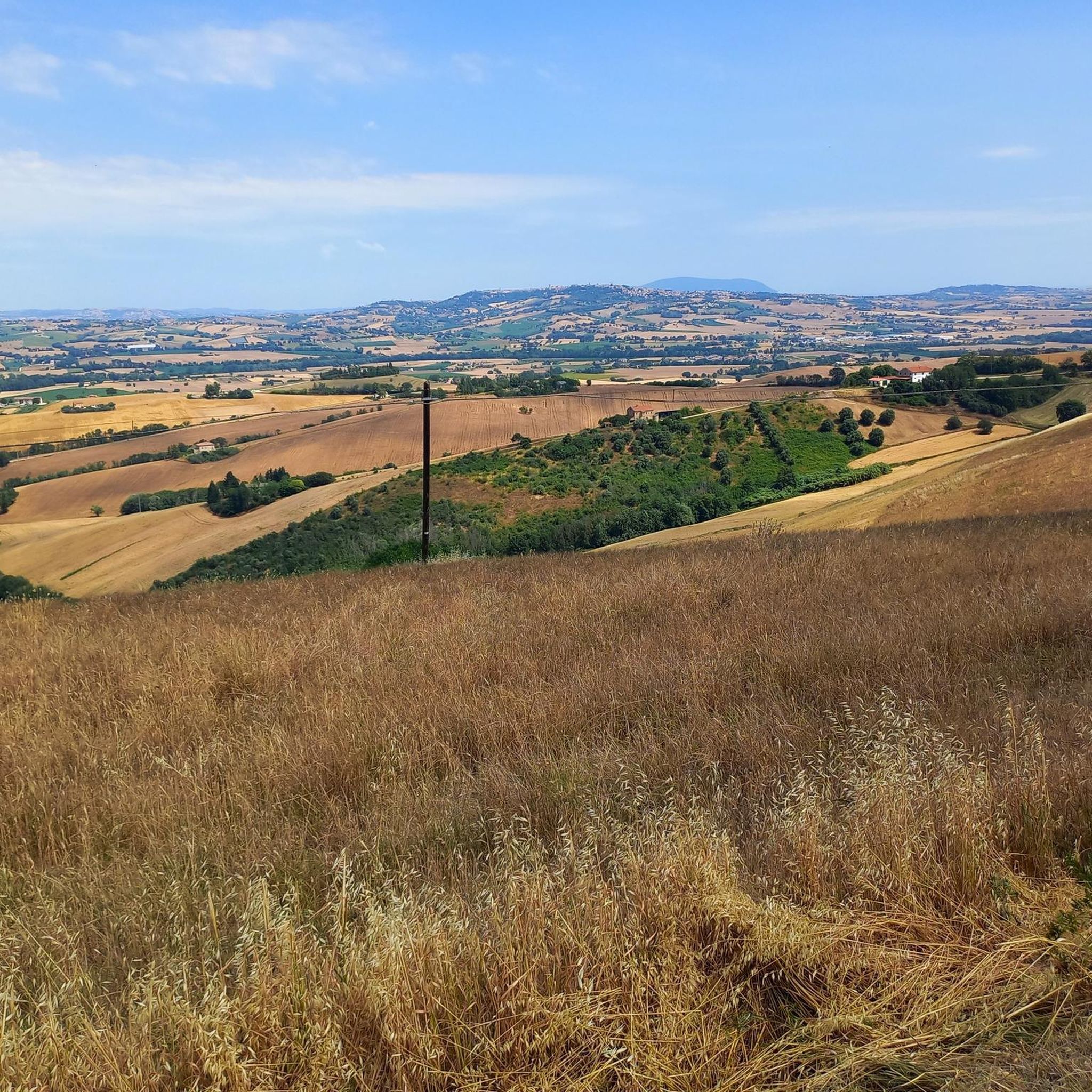
Hiking around Montelupone offers exploration through gentle hilly landscapes and ancient paths in Italy's Marche region. The area features rolling green hills that descend towards the Adriatic Sea, providing diverse terrain for outdoor activities. Key natural features include the River Potenza, which many routes incorporate, and the untouched Bosco di Camaioni. Panoramic views of the surrounding countryside are accessible from various points.
Best hiking trails around Montelupone
- The most popular hiking route is Bridge over the Potenza River – San…
Last updated: June 25, 2026
5.0
(2)
22
hikers
Easy hike. Great for any fitness level. Easily-accessible paths. Suitable for all skill levels.
2.3
(3)
10
hikers
7.61km
01:57
30m
30m
Easy hike. Great for any fitness level. Easily-accessible paths. Suitable for all skill levels.

Sign up for free
5.0
(2)
12
hikers
Moderate hike. Good fitness required. Easily-accessible paths. Suitable for all skill levels.
7
hikers
Moderate hike. Good fitness required. Easily-accessible paths. Suitable for all skill levels.
2
hikers
8.32km
02:08
30m
30m
Moderate hike. Good fitness required. Easily-accessible paths. Suitable for all skill levels.
Get access to more routes and recommendations from other explorers.
Sign up for free
Already have an account?
Our route recommendations are based on thousands of hikes, rides, and runs completed by other people on komoot.
Start today with a free account
Your next adventure awaits.
Login or Signup

Tips from the Community

A really nice and quiet location, a relaxing village with a lot of cycling potential
0
0


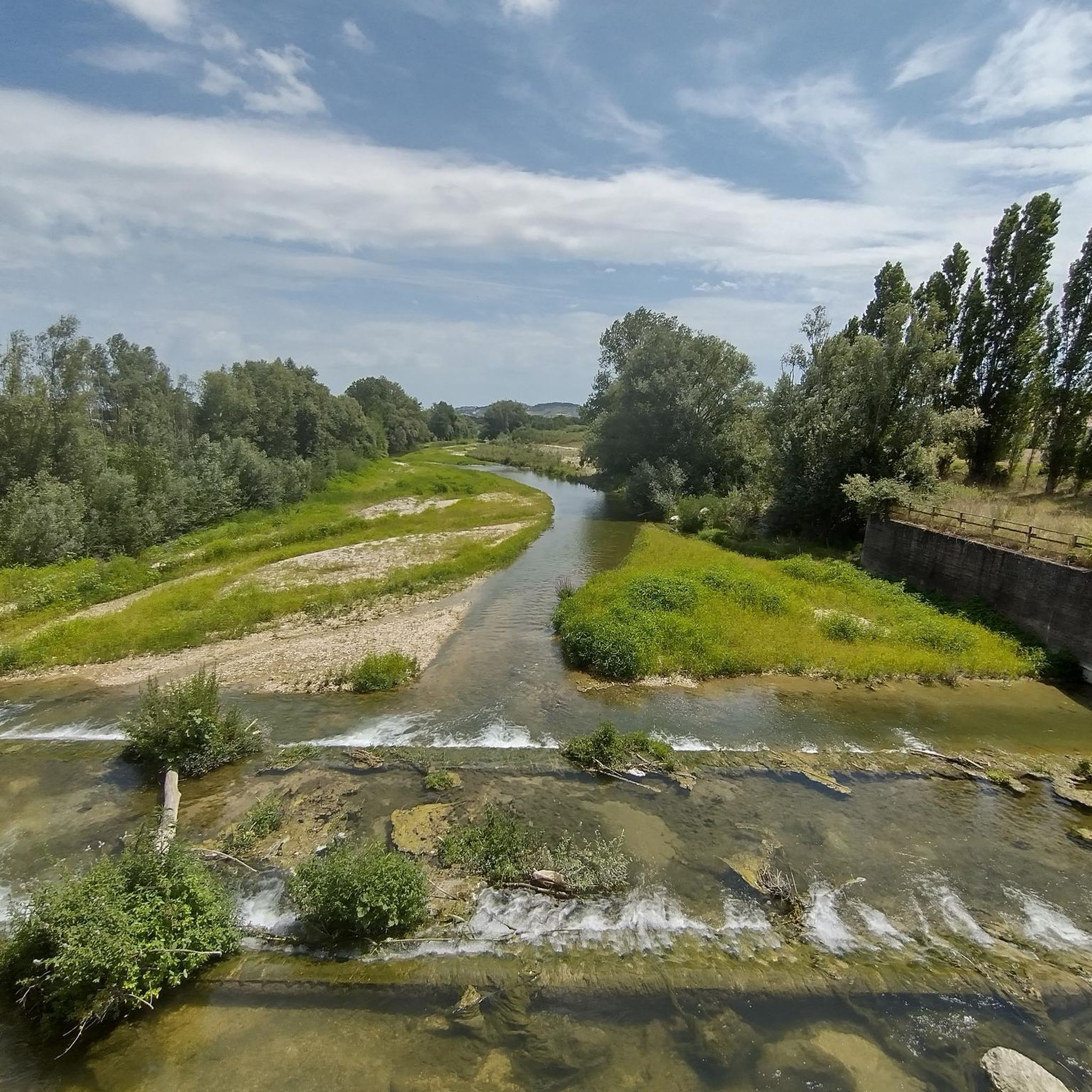
Along the Potenza river you can walk on very low traffic or very pleasant dirt roads, with views of the surrounding hills.
1
0

Ancient Benedictine abbey near the Potenza river, in the municipality of Montelupone, founded before the year one thousand at the behest of a noblewoman. The abbey was dedicated to San Firmano, the first abbot of the monastery, who lived here until his death. The abbey suffered various damages and looting over the centuries, and was rebuilt in Romanesque style in 1256.
1
0

Winter 2022 - Spring 2023. The cycle path starts from Recanati port, passes next to the Hotel House, continues between the ecological island and the purifier, Recanati port is a municipality very attentive to cycling tourism... After crossing the first bridge over the Potenza, turn left and pass between an old (disused) mill. After you. Turn right and return to the paved road because a 5-metre bridge has never been built. After a while, turn left and return to the cycle path. After the flood this winter (22/23), thousands of trees were cut down to drain the river with the result that there are no more dens and nests, on the other hand the river has become a straight line without natural barriers. Proceeding you arrive at the Terra e Vita cycle track, after the wooden bridge you proceed to the left, a little further on there are barriers (orange plastic) because the embankment has collapsed (it has always collapsed at that point for twenty years ), proceeding you arrive at the crossing of the provincial road. The designers and great connoisseurs of cycling and walking needs did not think of a crossing under the bridge. Cross the road (be careful that there is little visibility) and continue easily up to the Becerica bridge, pass under it, cross the river on a dedicated space and continue on the opposite bank of the river. Shortly after , small wooden bridge on the right , continue . Shortly after a metal bridge, another barrier, because (here as always) the river has taken back the space. Carry on like this, up to S.Firmano. And here the cycle path ends , so when you get to S.Firmano , go towards the parking lot that you see in front, follow the road (you can see the basilica on the left) and continue towards the mountain (low traffic road) . After a while you will find a micro-sign (Pane e Luna) excellent focaccia, continue and you will be on the road to Macerata (on the left) and Sambucheto (on the right) (strada Madonna del Monte), near the crossroads (on the left) c 'is a commemorative stone of the last war. Conclusions, the cycle path ends in S.Firmano further on it's a joke, the road surface is excellent for MTB and Gravel, no racing bikes, other bikes if you think "if I walk, I also bike" go easy. You can stop at Terra e Vita (where there is a mini velodrome) to eat some fruit. Kilometers from the sea in Sambucheto, about 30.
3
1

Thousand-year-old abbey in the municipality of Montelupone, near the Potenza river which, still today, retains its original structure in the Byzantine-Romanesque style.
1
0

San Firmano with the legendary Albertone
0
0

The track extends from Becerica to Porto Recanati, a pity that the last stretch is not passable and requires a detour
1
0
Frequently Asked Questions
How many hiking trails are available around Montelupone?
There are over 75 hiking routes around Montelupone, catering to various preferences. You'll find a good mix, with 45 easy trails, 32 moderate options, and even one more challenging route for experienced hikers.
What kind of terrain can I expect on Montelupone's hiking trails?
The trails around Montelupone are characterized by gentle, rolling green hills that gradually descend towards the Adriatic Sea. You'll often find yourself on ancient paths, riverside routes along the Potenza River, and through natural areas like the Bosco di Camaioni. The landscape offers a picturesque backdrop for walks and hikes.
Are there any family-friendly hiking options in Montelupone?
Yes, Montelupone is well-suited for family walks. Many of the 45 easy trails are perfect for all ages, offering minimal elevation gain and pleasant strolls through the gentle hills and along the river. These paths provide a great way to enjoy the outdoors together.
Can I bring my dog on the hiking trails in Montelupone?
Montelupone's natural trails and ancient paths are generally welcoming for dogs. While specific regulations may vary, the area's focus on 'en plein air' tourism suggests a dog-friendly environment. Always ensure your dog is under control, especially near wildlife or other hikers.
What natural features or landmarks can I see while hiking in Montelupone?
Hiking around Montelupone offers views of the picturesque rolling hills and the Adriatic Sea. You can explore the untouched natural area of Parco dei Laghetti — West Side, walk along the Potenza River Cycle Path, or visit historical sites like the San Claudio Abbey. Many routes incorporate riverside scenery and ancient churches.
Are there any circular hiking routes available in Montelupone?
Yes, Montelupone offers several excellent circular hiking routes. A popular easy option is the Bridge over the Potenza River – San Firmano Church loop from Becerica, which is about 5.9 km. Another great choice is the Abbey of San Firmano – San Firmano Church loop from San Firmano, an easy 7.6 km path.
What is the best time of year to go hiking in Montelupone?
Montelupone's gentle hilly landscapes are enjoyable throughout much of the year. Spring and autumn offer pleasant temperatures and vibrant scenery, ideal for exploring the nature trails. Summer can also be good, especially for early morning or late afternoon hikes to avoid the midday heat.
What do other hikers enjoy most about the trails in Montelupone?
The hiking routes in Montelupone are highly rated by the komoot community, with an average score of 4.5 stars from over 125 reviews. Hikers often praise the peaceful atmosphere, the beautiful rolling hills, and the charm of the ancient paths and riverside scenery.
Are there any longer or more challenging hikes around Montelupone?
While Montelupone is known for its gentle terrain, there are some longer routes. For example, the Bridge over the Potenza River – San Firmano Church loop from Parcheggio Pista Ciclabile Chiarino is a moderate 11.8 km trail. There is also one route classified as difficult for those seeking a greater challenge.
Where can I find parking for hiking trailheads in Montelupone?
Parking is generally available near popular trailheads. For instance, you can find parking for the Bridge over the Potenza River – San Firmano Church loop at Parcheggio Pista Ciclabile Chiarino. Many routes start from villages or accessible points, making it convenient to find a spot.
Are there any historical or cultural routes in the Montelupone area?
Beyond natural beauty, Montelupone is part of the broader 'Network of the 4 Valleys,' which connects landscapes, villages, and local traditions. For those interested in combining nature with culture, the Medicean Way offers a journey through art, history, and nature, following in the footsteps of the Medici family amidst ancient villas and charming villages.
What is the Bosco di Camaioni and can I hike there?
The Bosco di Camaioni is an untouched natural area nestled among the hills and trails near Montelupone. It's highlighted as a perfect spot for walks, hikes, and peaceful moments surrounded by greenery, offering a serene escape into nature.
Most popular routes around Montelupone
Most popular attractions around Montelupone

Get inspired with the komoot mobile app


Explore more
Browse the best Hikes in other regions.
