The best walks and hikes around Appignano
4.0
(64)
494
hikers
39
hikes
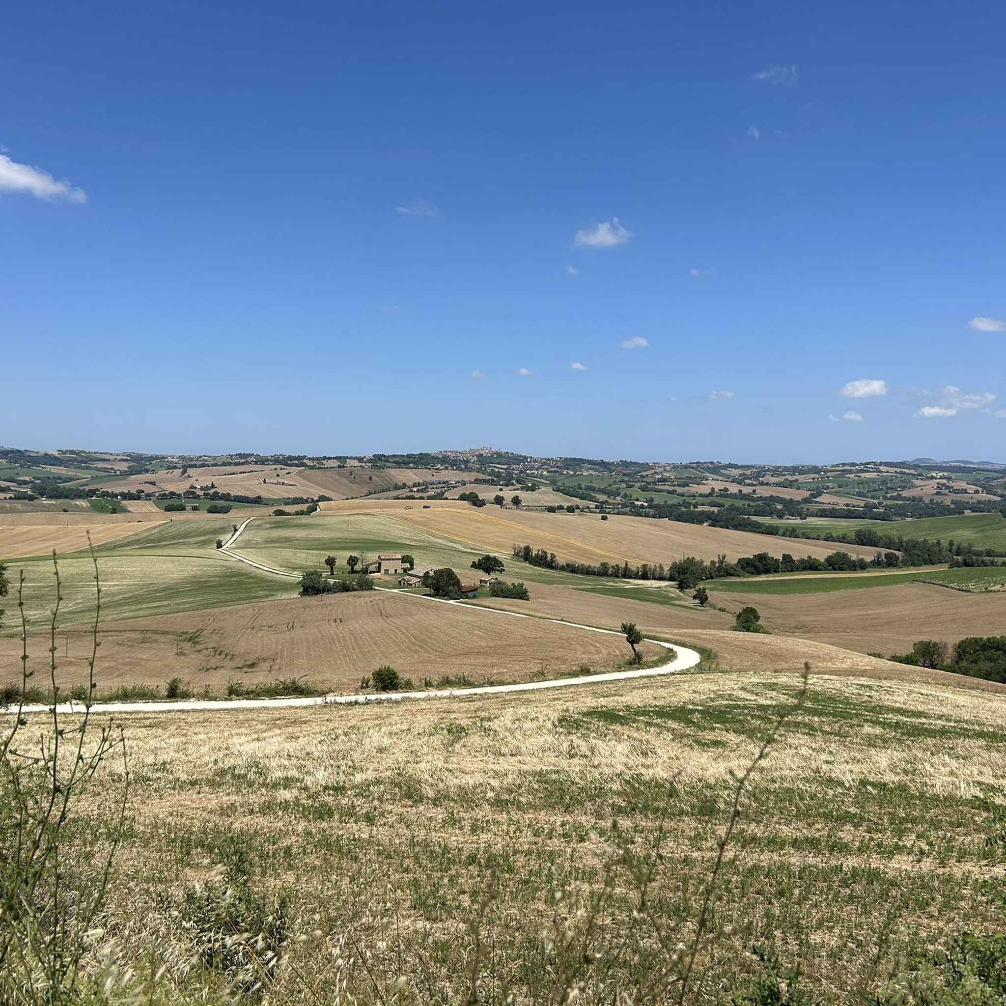
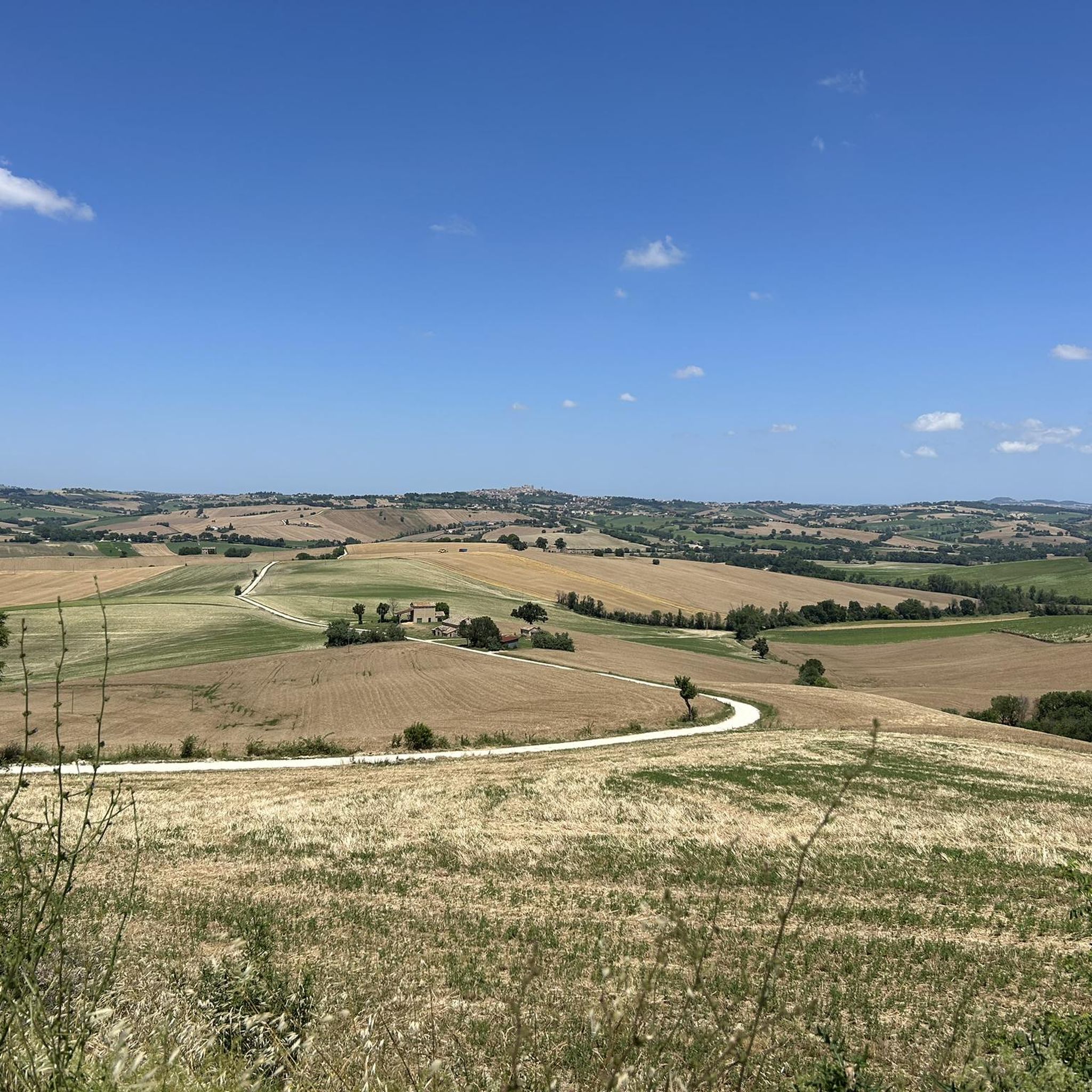
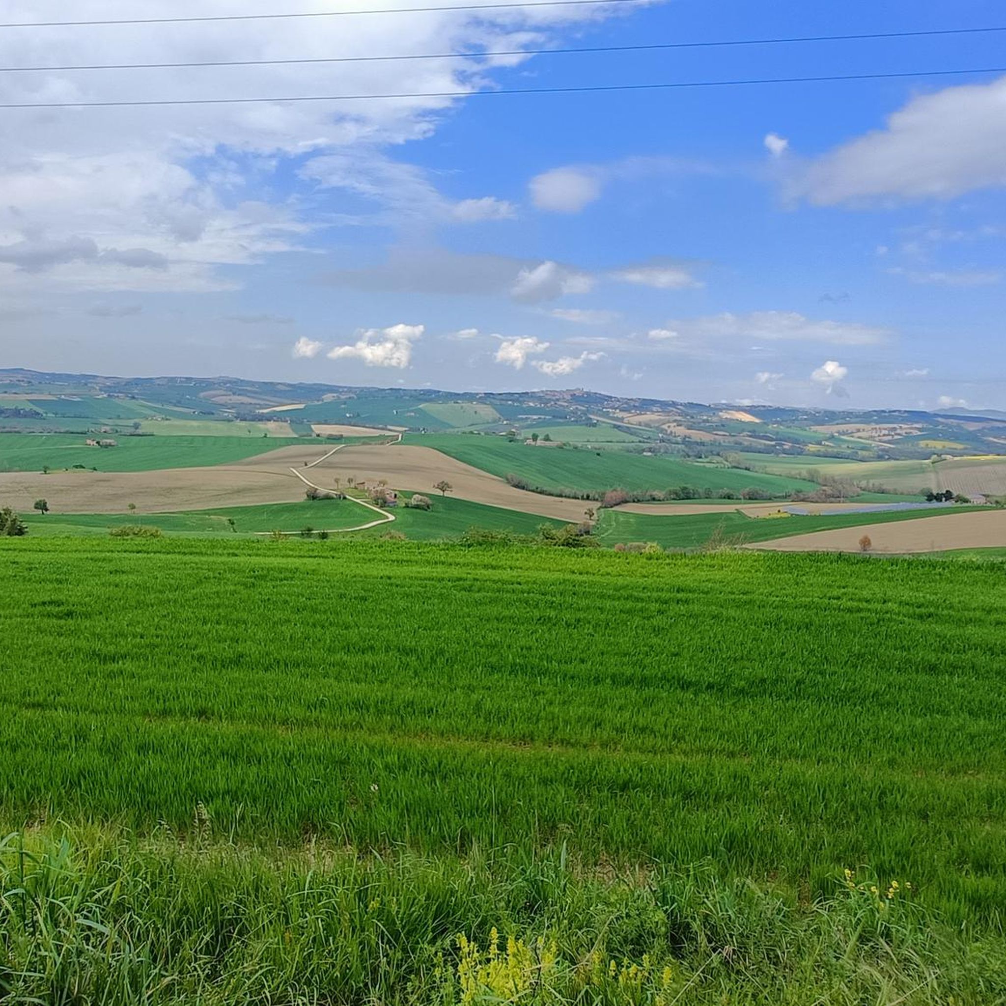
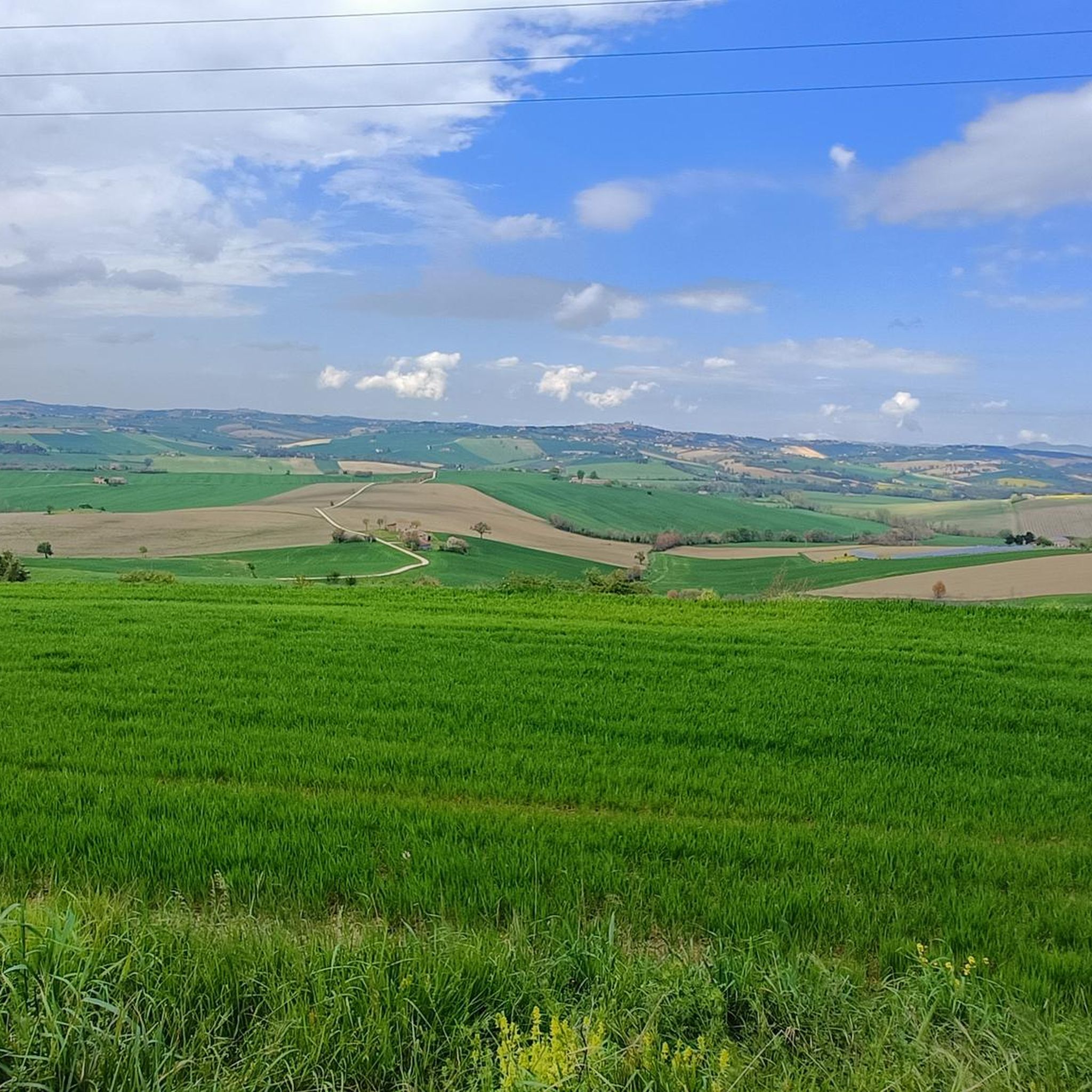
Hiking around Appignano offers diverse landscapes characterized by rolling hills that transition into more mountainous terrain. The region features lush oak and pine forests, providing varied environments for outdoor exploration. Situated in the Monocchia stream valley, the area offers numerous vantage points for panoramic views across the Marche region. This pre-Apennine environment supports a rich biodiversity, with trails traversing deciduous and coniferous forests.
Best hiking trails around Appignano
- The most popular hiking route is Among the sunflower fields – View…
Last updated: August 18, 2026
3.9
(7)
94
hikers
Easy hike. Great for any fitness level. Easily-accessible paths. Suitable for all skill levels.
5.0
(1)
31
hikers
Moderate hike. Good fitness required. Easily-accessible paths. Suitable for all skill levels.

Sign up for free
5.0
(3)
7
hikers
9.93km
02:57
300m
290m
Moderate hike. Good fitness required. Easily-accessible paths. Suitable for all skill levels.
14
hikers
2.62km
00:43
40m
40m
Easy hike. Great for any fitness level. Easily-accessible paths. Suitable for all skill levels.
2.0
(2)
7
hikers
9.05km
02:29
150m
150m
Moderate hike. Good fitness required. Easily-accessible paths. Suitable for all skill levels.
Get access to more routes and recommendations from other explorers.
Sign up for free
Already have an account?
Our route recommendations are based on thousands of hikes, rides, and runs completed by other people on komoot.
Start today with a free account
Your next adventure awaits.
Login or Signup

Tips from the Community

The church was designed by the architect and canon Rosato Rosati to the same design as the church of San Carlo ai Catinari in Rome and according to the usual layout of Jesuit churches: a single, very wide nave with deep side chapels, an imposing dome with a very high lantern, and a bell tower. It was completed in 1625, after Rosati's death.
1
0
On October 2, 1483, the city of Macerata commissioned the master builder Matteo d'Ancona to build the city tower. The construction of the Macerata city tower began around 1492 thanks to the work of Matteo d'Ancona and continued in the 16th century according to the plans of Galasso Alghisi da Carpi. The tower was completed in 1653.
1
0


Macerata's civic tower, dating back to 1483, is located in Piazza della Libertà. The tower's astronomical clock is noteworthy.
1
0

Stunning panoramic spot before tackling a nice single trek
0
0

a point where you can lose yourself with your gaze on a boundless panorama that embraces the entire region
0
0

Along the path nº4 you will find a ruin with beehives. From this house you can enjoy the truly suggestive sunset.
1
0
Panoramic point not to be missed when you are in the area. From which you can admire a panorama that sweeps from Fano Fano to Ancona up to Gran Sasso! Cingoli, balcony of the Marche... And it's true!
2
0
Frequently Asked Questions
How many hiking trails are available around Appignano?
Appignano and its surroundings offer a wide selection of routes, with over 30 hiking trails recorded on komoot. These range from easy strolls through the rolling hills to more challenging treks into the pre-Apennine environment, ensuring options for various fitness levels.
What types of landscapes can I expect to see while hiking near Appignano?
The region is characterized by picturesque rolling hills that gradually transition into more mountainous terrain. You'll traverse lush oak and pine forests, experience the valley of the Monocchia stream, and discover numerous vantage points offering panoramic views across the Marche region. The diverse flora and fauna add to the natural beauty of the trails.
Are there any easy or beginner-friendly hiking routes in Appignano?
Yes, Appignano has plenty of options for beginners and those looking for an easy walk. There are 15 easy routes available. For example, the Church of San Giovanni – Historic Center of Macerata loop from Macerata is an easy 6 km trail that takes you through the historic center of a nearby town.
Can I find circular hiking routes around Appignano?
Many of the trails around Appignano are designed as loops, allowing you to start and end your hike in the same location. An example is the moderate Cristo delle Marche – View of Treia at Night loop from Avenale, which offers expansive panoramic views of the Marche region.
What are some notable landmarks or viewpoints to discover on hikes near Appignano?
Hiking around Appignano offers several points of interest. You can explore the ancient ruins of the Roccaccia of Monte Acuto for expansive scenic outlooks. Another significant attraction is the Cristo delle Marche monument, celebrated for its remarkable panorama. Don't miss the View of Appignano itself, offering a beautiful perspective of the town.
Are there any family-friendly hiking options in the area?
Yes, the region offers several easy trails suitable for families. These routes typically involve less elevation gain and shorter distances, allowing for an enjoyable experience with children. Look for the 'easy' graded trails on komoot, which often pass through charming villages or gentle countryside.
What is the best time of year to go hiking in Appignano?
The spring and autumn months are generally ideal for hiking in Appignano, offering pleasant temperatures and vibrant landscapes. Spring brings blooming wildflowers, while autumn showcases beautiful fall foliage. Summer can also be enjoyable, especially in the mornings or late afternoons, though it can be warmer. Winter hiking is possible, but some higher elevation trails might require more preparation.
Are there any trails that pass by water features, like rivers or springs?
Yes, Appignano is situated in the valley of the Monocchia stream, and some trails incorporate water features. For instance, the Santa Maria Maddalena Spring loop from Macerata is a moderate route that includes a spring. You might also encounter the Musone River ford on certain paths.
What do other hikers say about the trails around Appignano?
The hiking trails around Appignano are highly regarded by the komoot community, holding an average rating of 4.1 stars from over 48 reviews. Hikers frequently praise the diverse landscapes, from rolling hills to forests, and the panoramic views that can be enjoyed throughout the region.
Is it possible to access hiking trails near Appignano using public transport?
While Appignano itself is well-connected, direct public transport access to every trailhead might be limited. It's advisable to check local bus schedules for routes connecting Appignano to nearby towns like Macerata or Avenale, from where some trails begin. Planning your route in advance will help determine the best access points.
Are there any longer or more challenging hikes for experienced trekkers?
Absolutely. For experienced trekkers, Appignano offers 17 moderate and 2 difficult routes. These trails typically feature greater distances and more significant elevation changes, leading into the more mountainous parts of the pre-Apennine environment. An example of a moderate route is the Cristo delle Marche – View of Treia at Night loop from Avenale, which covers over 10 km with notable elevation gain.
Most popular attractions around Appignano

Get inspired with the komoot mobile app


Explore more
Browse the best Hikes in other regions.
