The best cycling routes around Mühlwald - Selva Dei Molini
4.5
(5185)
41,758
riders
278
rides
Touring cycling routes around Mühlwald - Selva Dei Molini traverse a landscape characterized by alpine valleys, dense forests, and the presence of the Aurino River. The region features significant elevation changes, with routes often following river courses or ascending into mountainous terrain. Lakes such as Lake Selva dei Molini are prominent natural features, offering scenic points along the paths. This area provides a challenging environment for touring cyclists, with many routes involving substantial climbs.
Best touring cycling routes around Mühlwald…
Last updated: October 11, 2026
4.6
(80)
668
riders
Hard bike ride. Good fitness required. You may need to push your bike for some segments of this route.
101
riders
63.3km
06:10
2,000m
2,000m
Hard bike ride. Very good fitness required. You may need to push your bike for some segments of this route.

5.0
(3)
44
riders
21.7km
01:49
690m
690m
Hard bike ride. Very good fitness required. Mostly paved surfaces. Suitable for all skill levels.
5.0
(2)
39
riders
Hard bike ride. Very good fitness required. Mostly paved surfaces. Suitable for all skill levels.
3.7
(3)
33
riders
Moderate bike ride. Good fitness required. Mostly paved surfaces. Suitable for all skill levels.
Get access to more routes and recommendations from other explorers.
Already have an account?
Our route recommendations are based on thousands of hikes, rides, and runs completed by other people on komoot.
Start today with a free account
Your next adventure awaits.
Popular around Mühlwald - Selva Dei Molini
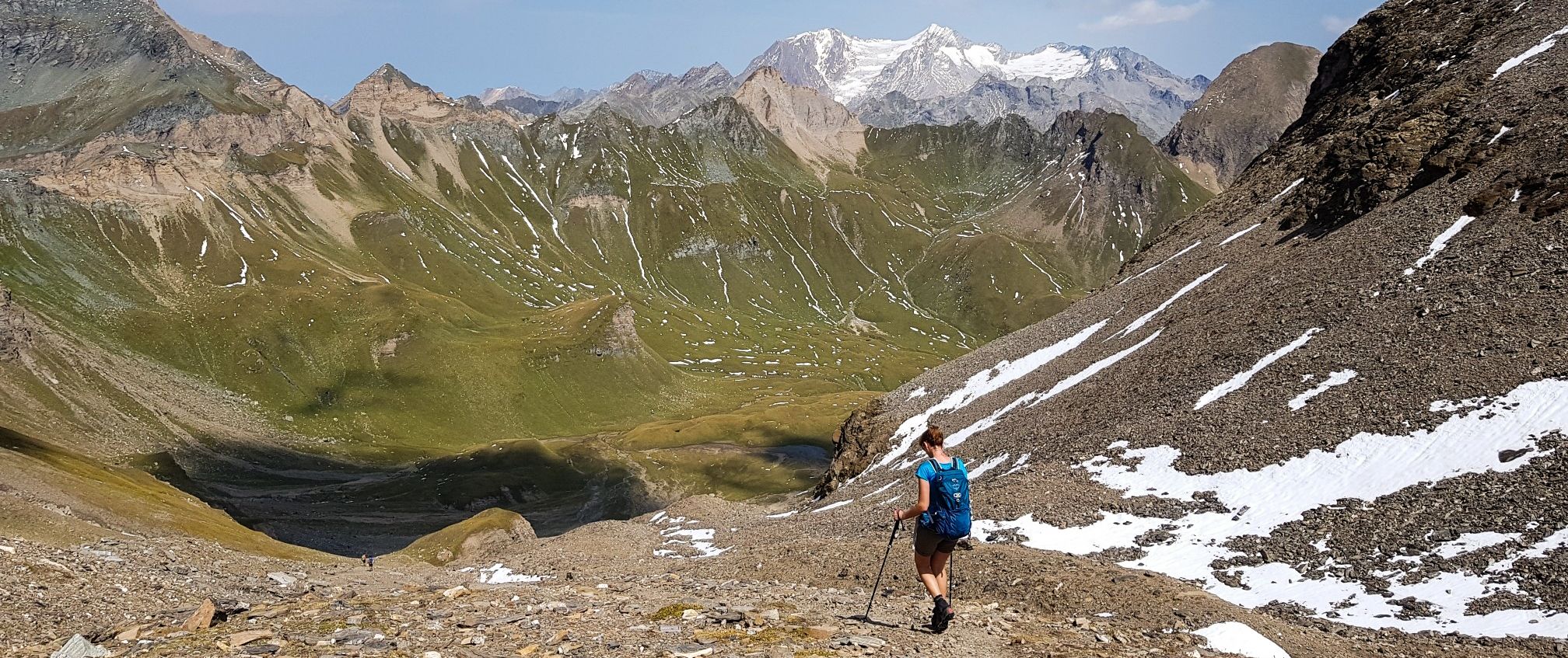
The Pfunderer High Route – Alpine. Solitary. Breathtaking.
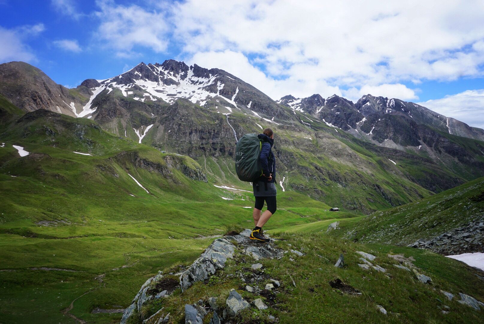
Pfunderer Mountain Trail in South Tyrol – high alpine hiking
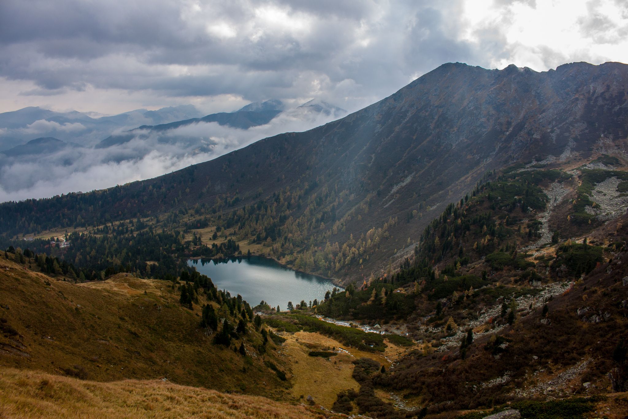
Berge mit unglaublichen Namen
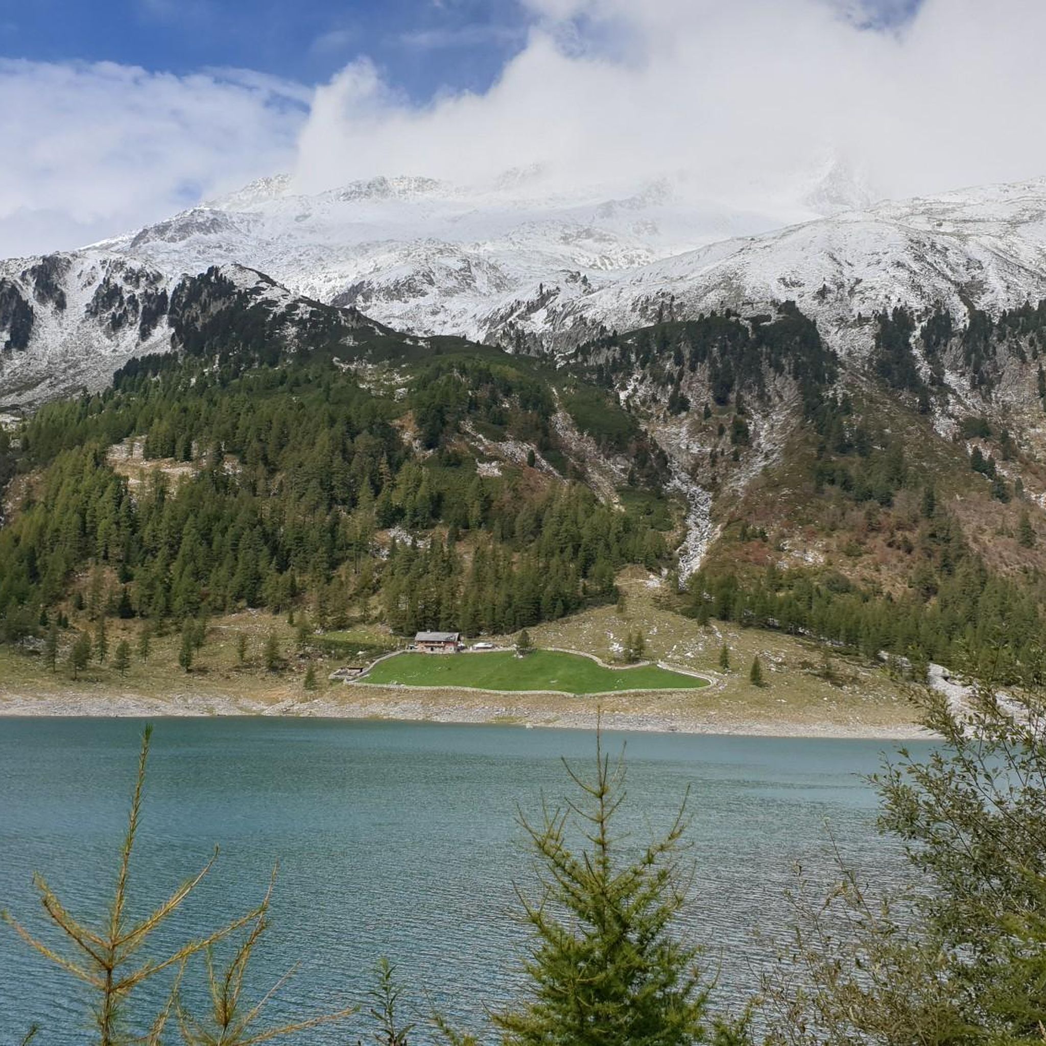
Hiking around Mühlwald - Selva Dei Molini
Road Cycling Routes around Mühlwald - Selva Dei Molini
Running Trails around Mühlwald - Selva Dei Molini
MTB Trails around Mühlwald - Selva Dei Molini

Mountain Hikes around Mühlwald - Selva Dei Molini

Gravel biking around Mühlwald - Selva Dei Molini


Tips from the Community

cycle path with a slight incline, in peace among greenery and silence, all well asphalted.
0
0

A jewel of South Tyrolean baroque
0
0

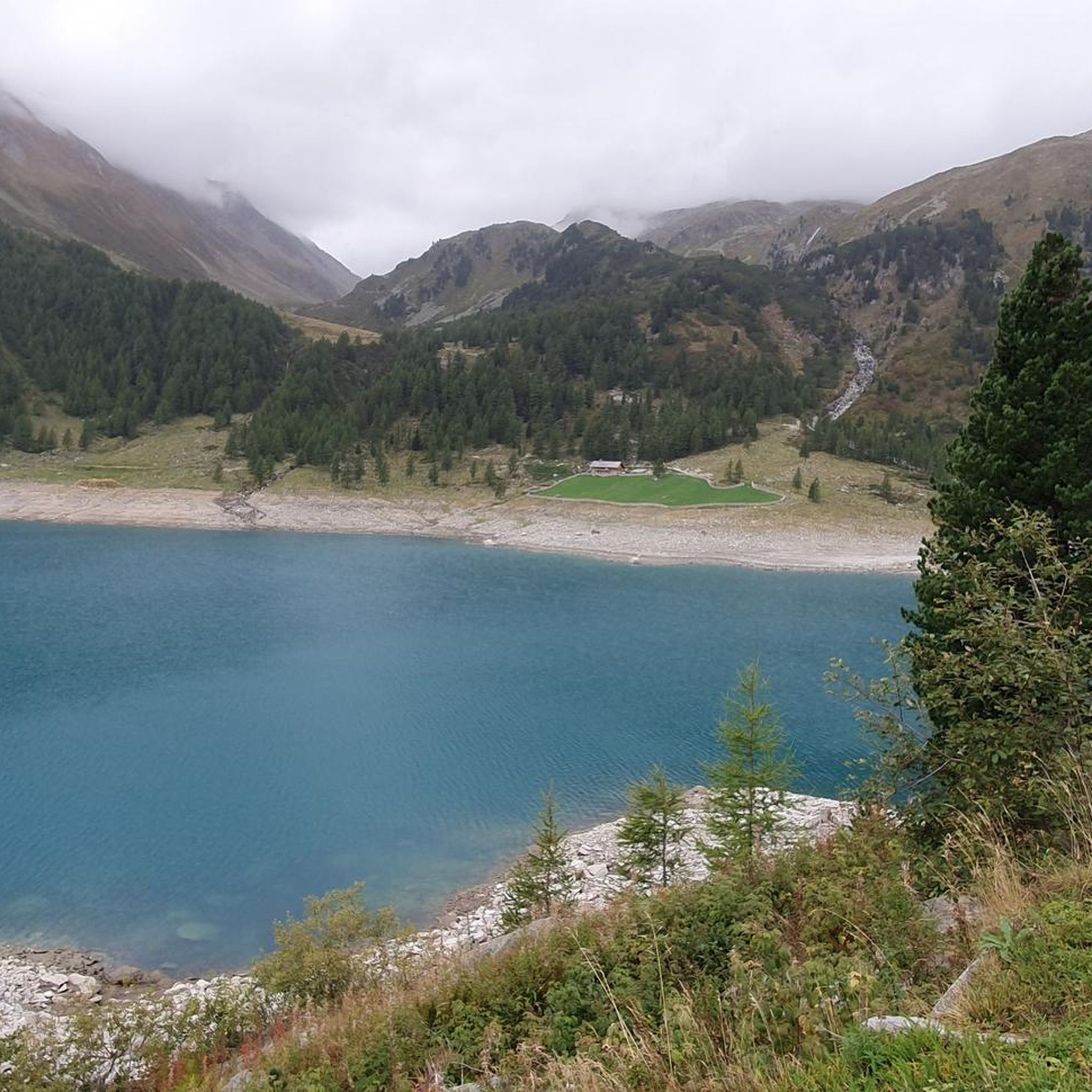
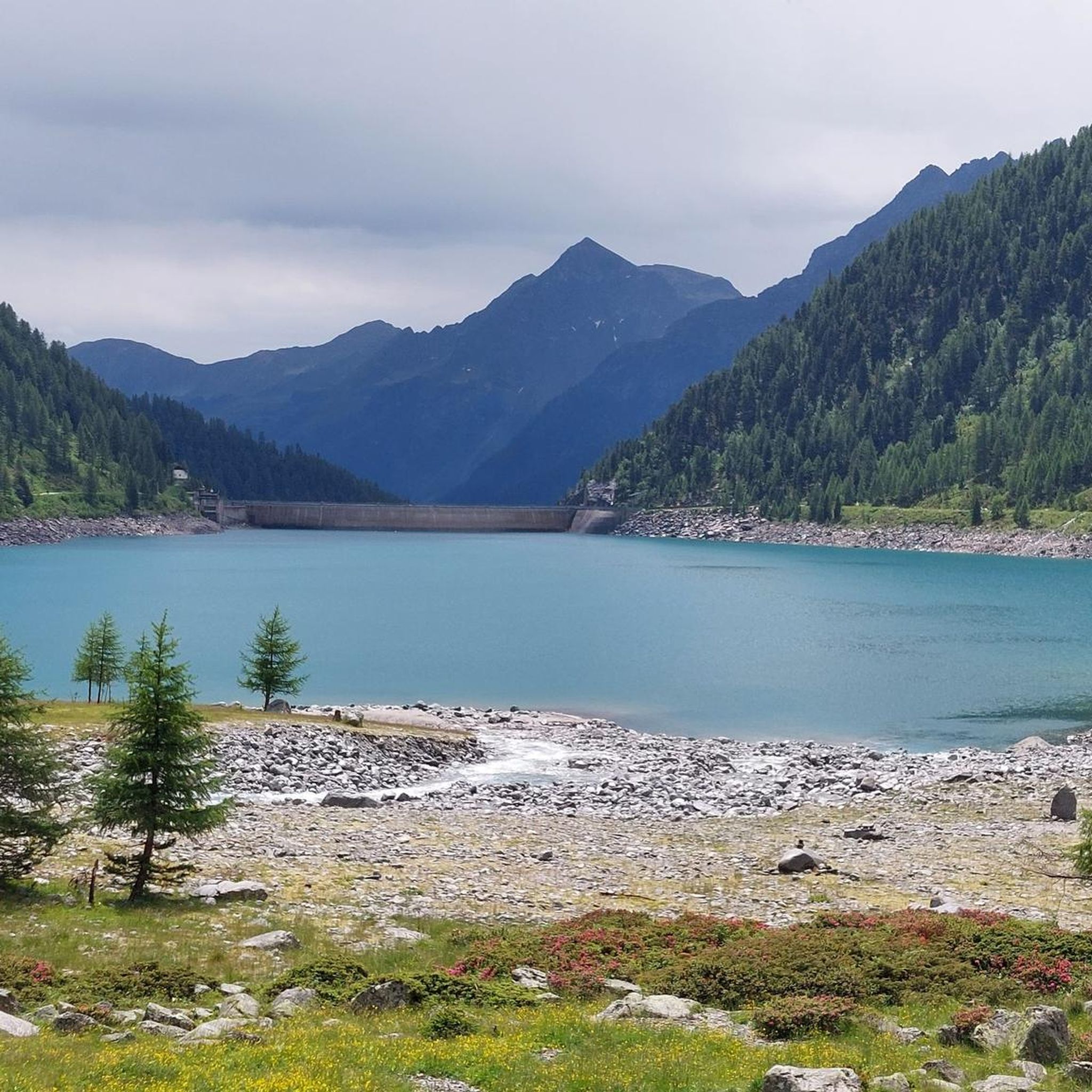
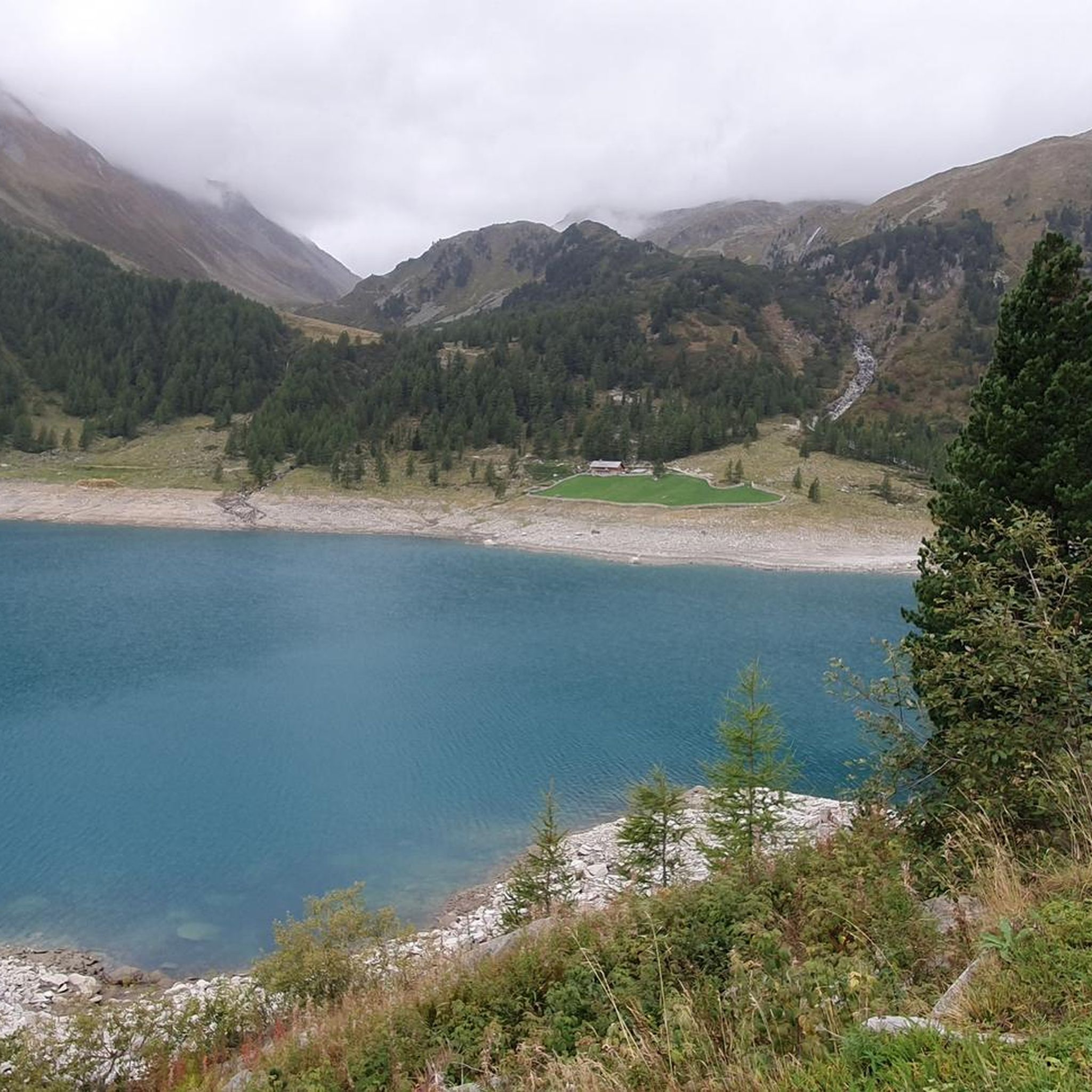
Beautiful view with the mountains in the background. However, the dam is currently not accessible. Therefore, a detour is not possible at the moment. This is expected to last until September 2026.
0
0

Nice lake with reflective mountains and a great panorama.
0
0

Very good fitness is required for this road. The steep switchbacks meander uphill (if you're not motorized), but you'll be rewarded with a beautiful view of the reservoir.
0
0


The church of Gais is one of the oldest and most interesting country churches in all of Tyrol. Despite many later alterations, the building has largely retained its original Romanesque appearance. It is a typical three-aisled, basilica-like structure with a semicircular main apse and two equally semicircular side apses. The church was first mentioned in 990, and its present form dates back to the late 12th century. The church was raised in the late Gothic period. During the subsequent Baroque renovation of the church, the Gothic ribs on the nave vault were removed. A Neo-Romanesque restoration of the church took place between 1906 and 1911. The last major restorations were carried out in 1974 and 1980. During this restoration, Romanesque paintings from the late 13th century were uncovered in the southern side apse. They depict St. Afra, St. Magdalene, and St. Elizabeth, as well as remnants of a curtain decoration. The frescoes in the side aisles and the central nave by Josef Renzler (1804) show scenes from the life of Mary and Jesus and depictions of the martyrdom of Saints Cassian, Tarsicius and Sebastian.
0
0

Frequently Asked Questions
What is the overall difficulty level of touring cycling routes in Mühlwald - Selva Dei Molini?
The touring cycling routes in Mühlwald - Selva Dei Molini are predominantly challenging. Out of 11 available routes, 10 are rated as difficult, with only one moderate option. Cyclists should be prepared for significant elevation changes and demanding terrain.
Are there any circular touring cycling routes in the Mühlwald - Selva Dei Molini area?
Yes, many of the touring cycling routes in this region are designed as loops. For example, the Lake Selva dei Molini – Bruneck Old Town loop from Viertler and the Ahrntal Valley Cycle Path – Sand in Taufers village center loop from Viertler are popular circular options, allowing you to start and end at the same point.
What kind of distances and elevation gains can I expect on touring bike routes here?
Routes vary in length and elevation. For instance, the Lake Selva dei Molini – Bruneck Old Town loop from Viertler covers approximately 80 km with over 1000 meters of ascent. A shorter, yet still challenging, option like the Lake Neves – Lake Neves and Dam loop from Mühlwald - Selva dei Molini is around 23.5 km with over 700 meters of climbing.
What are some scenic highlights or landmarks I can see along the touring routes?
The routes often feature stunning natural and historical sights. You can expect views of Lake Selva dei Molini, the Aurino River, and alpine valleys. Historical sites like Tures Castle are also along some paths, such as the Lake Selva dei Molini – Tures Castle loop from Viertler. You might also encounter various huts and settlements like Fane Alm or San Giovanni in Valle Aurina.
When is the best time of year for touring cycling in Mühlwald - Selva Dei Molini?
The best season for touring cycling in Mühlwald - Selva Dei Molini is typically from late spring to early autumn (May to October). During these months, the weather is generally more stable, and mountain passes are clear of snow, offering optimal conditions for exploring the alpine valleys and river paths.
Are there any family-friendly or easier touring bike routes available?
The region is primarily characterized by challenging routes with significant elevation changes, making most touring cycling options less suitable for young families or beginners. There is one route rated as moderate, but no easy routes are specifically listed for touring cyclists in this area.
What do other touring cyclists enjoy most about cycling in Mühlwald - Selva Dei Molini?
The area is highly rated by the komoot community, with an average score of 4.6 stars from over 3,700 reviews. Cyclists frequently praise the diverse terrain, the scenic beauty of the alpine valleys and lakes, and the challenging nature of the routes that offer a rewarding experience for experienced riders.
How can I access the touring cycling routes using public transport?
The Ahrntal Valley, where Mühlwald - Selva Dei Molini is located, is served by public bus lines connecting to Bruneck (Brunico), which has a train station. From Bruneck, local buses can take you further into the valley, allowing access to various starting points for the cycling routes. It's advisable to check local bus schedules and bike transport policies in advance.
Where can I find parking for my car when starting a touring bike route?
Parking is generally available in the main villages of Mühlwald - Selva Dei Molini and surrounding areas. Look for designated parking spots near trailheads or village centers. For routes starting from specific points like 'Viertler' (as mentioned in some route names), there might be local parking facilities, but it's always good to check local signage upon arrival.
Are there opportunities for refreshments or bike-friendly cafes along the routes?
Yes, as you cycle through the valleys and villages, you will find opportunities to stop for refreshments. Many routes pass through or near settlements like Sand in Taufers or Bruneck, which offer cafes, restaurants, and shops. Additionally, some mountain huts, such as Olpererhütte, might be accessible from certain routes, providing a chance to rest and refuel.
What is the longest touring cycling route in the region?
The longest touring cycling route listed is the Lake Selva dei Molini – Bruneck Old Town loop from Viertler, which spans approximately 80 kilometers and involves over 1000 meters of ascent.
Are there any routes that follow the Aurino River?
Yes, the region's landscape is characterized by the Aurino River. The Lake Selva dei Molini – Along the Aurino River loop from Viertler is a specific route that follows the river's course, offering scenic views along its banks.
Most popular routes around Mühlwald - Selva Dei Molini
Most popular attractions around Mühlwald - Selva Dei Molini

Get inspired with the komoot mobile app


Explore more
Browse the best Cycling routes in other regions.
