The best MTB trails around Biddamanna Istrisàili/Villagrande Strisaili
4.4
(435)
2,381
riders
134
rides
Mountain bike trails around Biddamanna Istrisàili/Villagrande Strisaili are set within the rugged landscape of the Gennargentu massif, with the town itself at an altitude of 750 meters. The region features challenging terrain with surrounding peaks exceeding 1,300 meters, ancient oak forests, and a network of rivers and streams. The scenic Flumendosa Lake also contributes to the diverse environments available for mountain biking.
Best mountain bike trails around Biddamanna Istrisàili/Villagrande Strisaili
- The most popular mountain bike trail is Upper Flumendosa Lake…
Last updated: July 8, 2026
4.8
(6)
43
riders
27.4km
02:50
850m
850m
Moderate mountain bike ride. Good fitness required. Advanced riding skills necessary.
5.0
(1)
14
riders
64.7km
04:59
1,320m
1,310m
Hard mountain bike ride. Very good fitness required. Advanced riding skills necessary.

Sign up for free
5.0
(1)
8
riders
65.2km
06:11
1,810m
1,810m
Hard mountain bike ride. Very good fitness required. Advanced riding skills necessary. Some portions of the route may require you to push your bike.
4.0
(2)
14
riders
14.4km
01:44
540m
540m
Moderate mountain bike ride. Good fitness required. Advanced riding skills necessary.
3.0
(1)
9
riders
25.3km
01:50
380m
380m
Moderate mountain bike ride. Good fitness required. Advanced riding skills necessary.
Get access to more routes and recommendations from other explorers.
Sign up for free
Already have an account?
Our route recommendations are based on thousands of hikes, rides, and runs completed by other people on komoot.
Start today with a free account
Your next adventure awaits.
Login or Signup
Popular around Biddamanna Istrisàili/Villagrande Strisaili
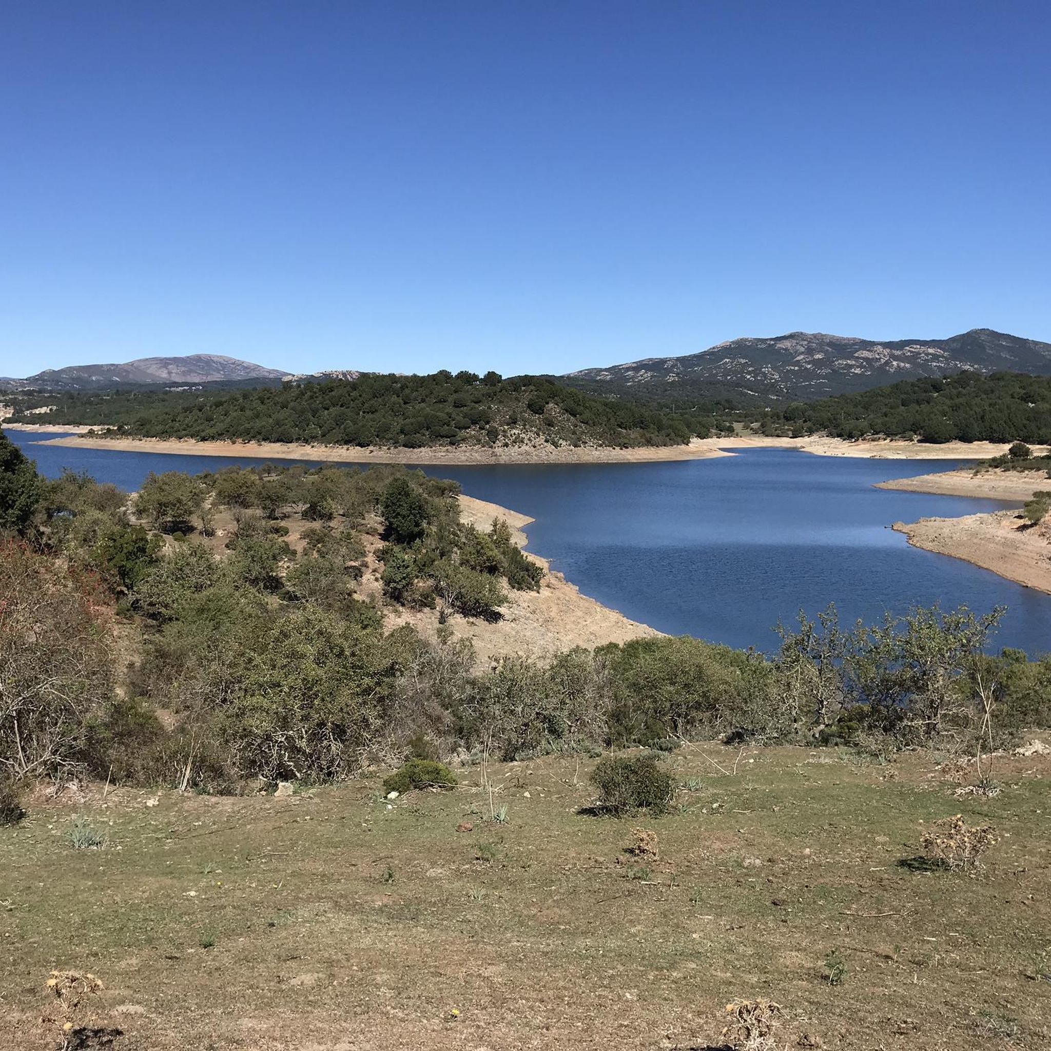
Hiking around Biddamanna Istrisàili/Villagrande Strisaili
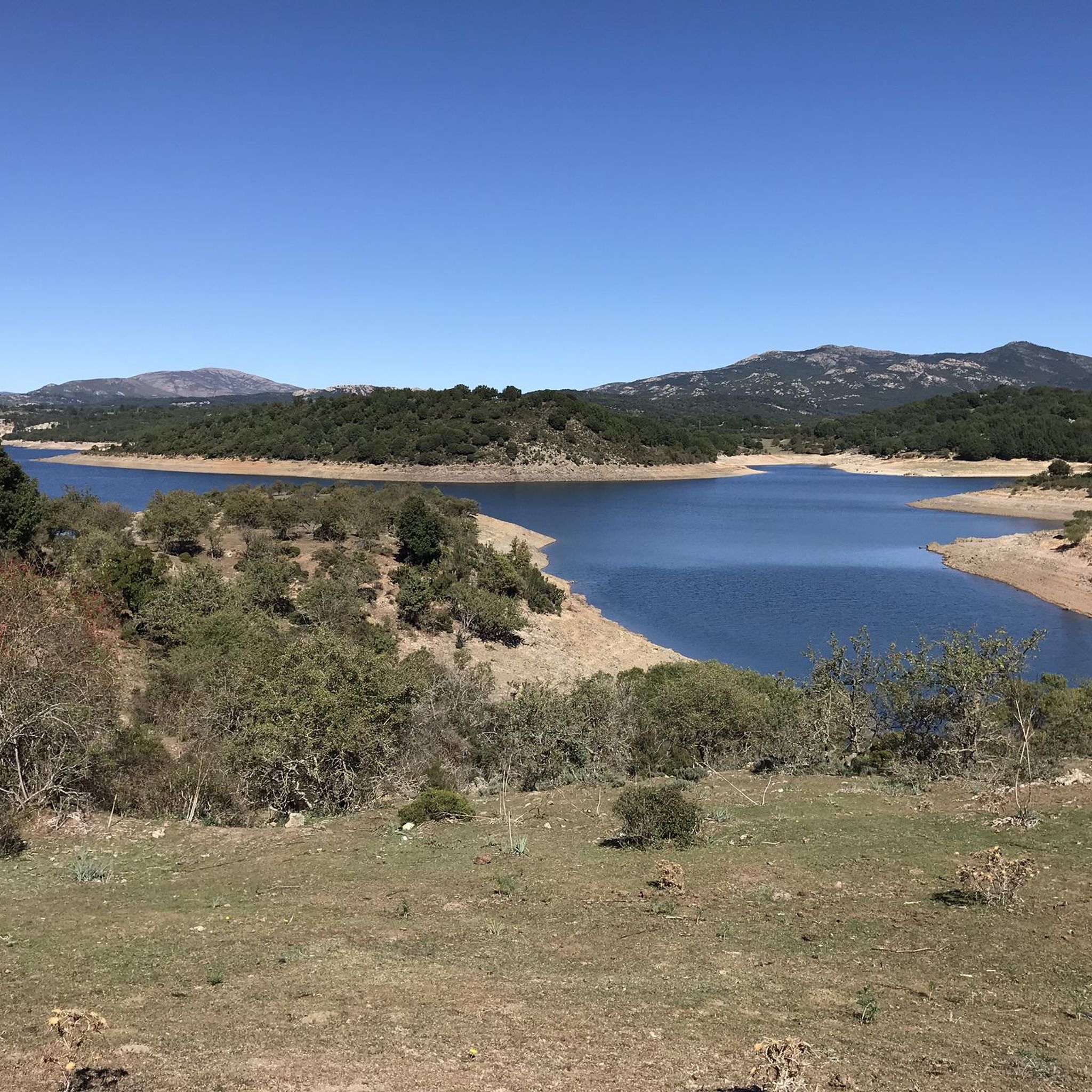
Road Cycling Routes around Biddamanna Istrisàili/Villagrande Strisaili
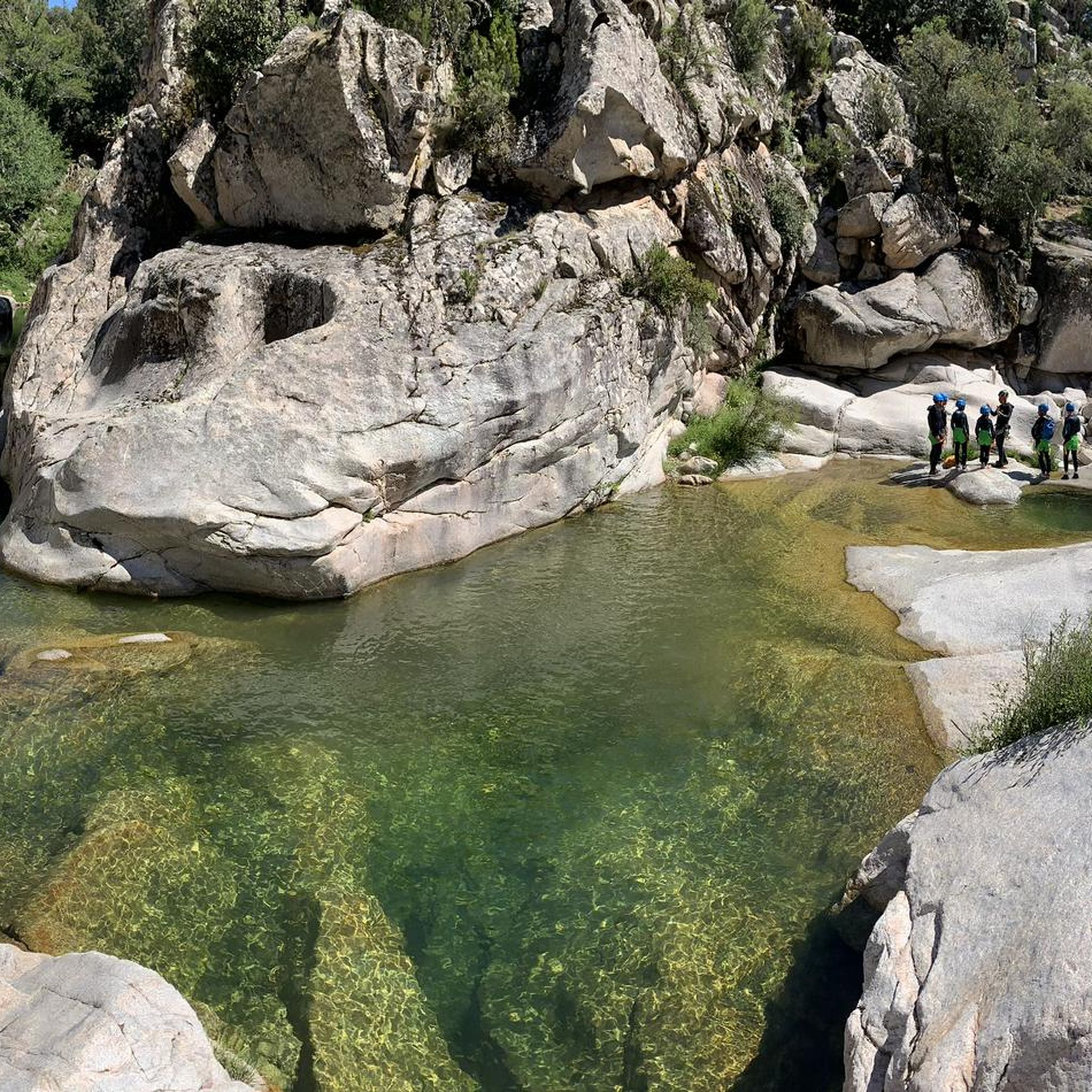
Running Trails around Biddamanna Istrisàili/Villagrande Strisaili
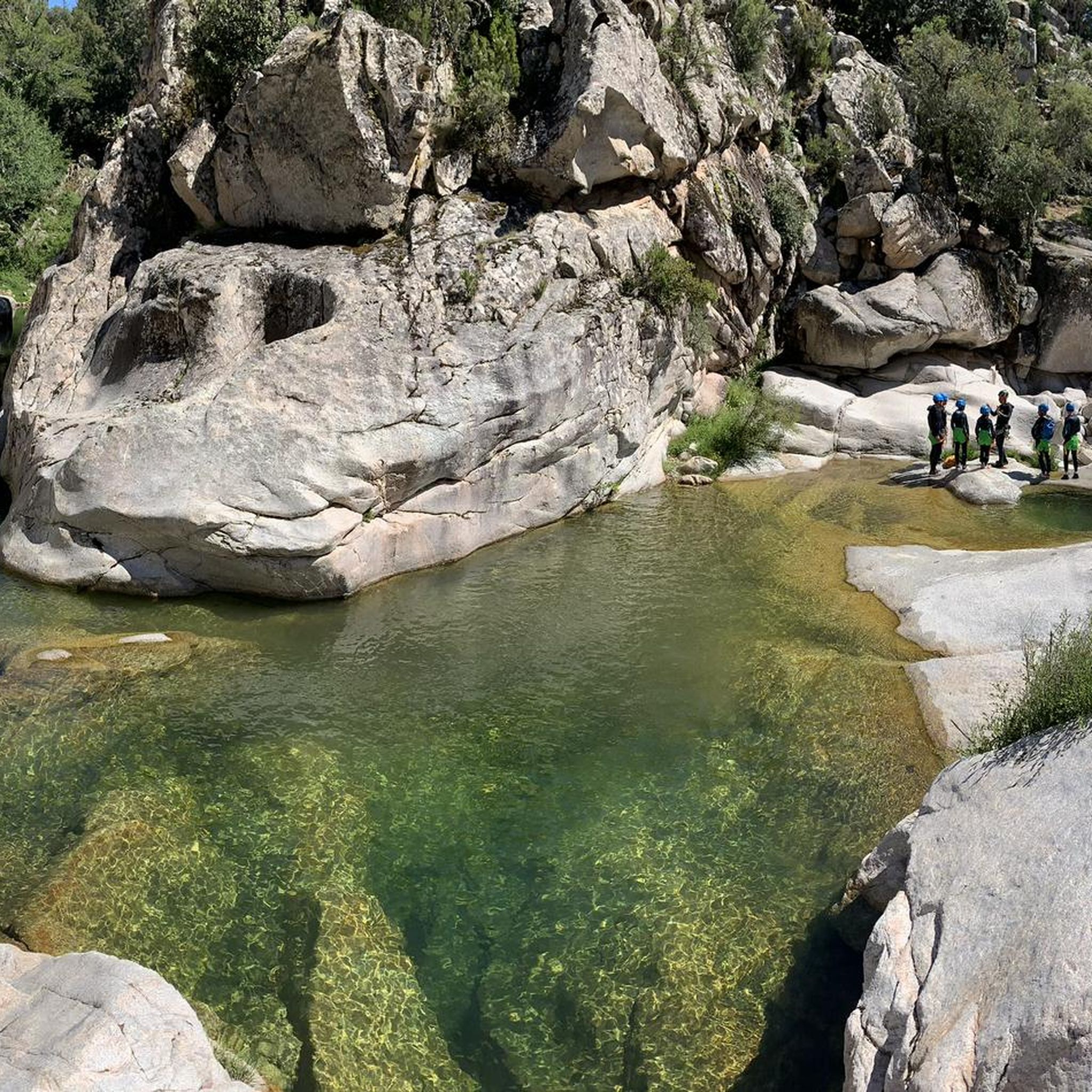
Cycling around Biddamanna Istrisàili/Villagrande Strisaili

Mountain Hikes around Biddamanna Istrisàili/Villagrande Strisaili

Gravel biking around Biddamanna Istrisàili/Villagrande Strisaili
Tips from the Community

The Monti del Gennargentu form the highest mountain range in Sardinia and the "roof of the island". It is located in the heart of Barbagia. The rugged, rocky mountain world is home to Punta La Marmora (1,834 m), the highest peak in Sardinia, as well as historical Nuragic villages, and offers fantastic hiking opportunities.
1
0
The Monti del Gennargentu form Sardinia's highest mountain range and the "Roof of the Island". It is located in the heart of Barbagia. The rugged, rocky mountain world is home to Punta La Marmora (1,834 m), Sardinia's highest peak, as well as historical Nuragic villages, and offers fantastic hiking opportunities.
1
0

Great view. Beautiful area.
2
0

A nice little bar with very friendly people. Perfect for a beer... or two ;-)
0
0
Beautiful view of the highest mountains in Sardinia
0
0


At 1,834 meters, Punta La Marmora is the highest peak in the whole of Sardinia. It is located in the Gennargentu massif, between the municipalities of Arzana and Desulo, and is named after the general and scientist Alberto Ferrero della Marmora, who described the Sardinian island in two scientific-literary works.
2
0
Frequently Asked Questions
How many mountain bike trails are available in Biddamanna Istrisàili/Villagrande Strisaili?
There are over 100 mountain bike trails around Biddamanna Istrisàili/Villagrande Strisaili. The region offers a diverse range of routes, with 20 easy, 52 moderate, and 47 difficult trails, catering to various skill levels.
Are there any easy or beginner-friendly mountain bike trails suitable for families?
Yes, the area offers 20 easy mountain bike trails. While specific family-friendly routes are not detailed, the easier trails generally feature less challenging terrain. For a moderate option that is not overly long, consider the Genna Roper – Grotta Idòlo loop from Valico Strisaili, which is about 13.8 km long.
What kind of terrain can I expect on mountain bike trails in Biddamanna Istrisàili/Villagrande Strisaili?
The terrain is rugged and varied, characteristic of the Gennargentu massif. You'll encounter challenging mountain ascents and descents, ancient oak forests, and river valleys. Trails often feature rocky sections, forest paths, and scenic routes around bodies of water like the Flumendosa Lake.
Are there mountain bike trails that offer panoramic views?
Absolutely. The elevated position of Villagrande Strisaili and the surrounding peaks provide stunning vistas. For expansive mountain views, the difficult View of Punta La Marmora – Nuraghe Ruinas loop from Pirincanis offers impressive scenery. Higher elevations, such as those near Punta La Marmora, provide 360-degree views of the island.
Can I find mountain bike trails that pass by waterfalls or other natural features?
Yes, the region is rich in natural features. The area is crisscrossed by rivers and streams, leading to notable waterfalls. You can explore trails that pass near the spectacular Cascata Sothai or the Pirincanes Waterfall. The Forest Trails – Upper Flumendosa Lake loop from Villanova Strisaili takes you through ancient oak forests and past the scenic Upper Flumendosa Lake.
Are there any archaeological sites or historical landmarks accessible by mountain bike?
Yes, the region boasts a rich archaeological heritage. You can find numerous Nuragic sites, including giant tombs and Nuraghes. Some trails may lead near sites like the Petroglyphs of Grutta de Janas or Domus de Janas, offering a blend of natural challenge and historical discovery.
What is the best time of year for mountain biking in Biddamanna Istrisàili/Villagrande Strisaili?
The region's climate makes spring and autumn ideal for mountain biking, offering milder temperatures and lush landscapes. Summer can be hot, especially at lower altitudes, but the higher elevations of the Gennargentu massif provide cooler conditions and shaded trails through ancient oak forests.
Are there any mountain bike trails that are circular routes?
Many of the mountain bike trails in the area are designed as loops. For example, the difficult Upper Flumendosa Lake – View of Monte Tonneri loop from Villagrande Strisaili is a popular circular route. Another challenging loop is the View of Monte Tonneri – Summit of Punta La Marmora loop from L'altura Bar.
What do other mountain bikers say about the trails in Biddamanna Istrisàili/Villagrande Strisaili?
The area is highly rated by the komoot community, with an average score of 4.3 stars from over 300 reviews. Mountain bikers often praise the rugged mountain terrain, the beauty of the ancient oak forests, and the diverse river valleys, highlighting the challenging yet rewarding nature of the routes.
Are there options for wild swimming near the mountain bike trails?
Yes, the region's network of rivers and streams, fed by numerous springs, offers opportunities for wild swimming. The Bau Mela stream, for instance, features natural pools that can be a refreshing stop during or after a ride.
Is there public transport available to reach the mountain biking areas?
While Villagrande Strisaili is accessible, public transport options within the rugged mountain areas are limited. It's advisable to check local bus schedules for connections to the town itself. For reaching specific trailheads, a personal vehicle or e-bike tours might offer more flexibility.
Where can I find parking for mountain biking in Biddamanna Istrisàili/Villagrande Strisaili?
Parking is generally available in and around Villagrande Strisaili and other smaller villages like Villanova Strisaili, which serve as common starting points for many trails. Specific parking details for individual trailheads may vary, so it's recommended to check the route details on komoot for the most accurate information.
Most popular routes around Biddamanna Istrisàili/Villagrande Strisaili
Most popular attractions around Biddamanna Istrisàili/Villagrande Strisaili

Get inspired with the komoot mobile app


Explore more
Browse the best MTB trails in other regions.
