The 12 Most Amazing Peaks around Gàiru/Gairo
Best mountain peaks around Gàiru/Gairo offer diverse landscapes and challenging ascents in Sardinia. This region is characterized by its mountainous terrain, providing numerous opportunities for exploration. Visitors can discover a variety of summits, from the highest points on the island to unique rock formations. The area is known for its natural monuments and panoramic viewpoints, making it a destination for those seeking outdoor activities.
Best mountain peaks around Gàiru/Gairo
- The most popular mountain peaks is Bruncu Matzeu Summit (955 m)…
Last updated: October 11, 2026
Summit of Punta La Marmora
Highlight • Summit
Translated by Google •
Tip by

Punta La Marmora summit cross
Highlight • Summit
Translated by Google •
Tip by

Sign up now to discover places like this
Get recommendations on the best single tracks, peaks, & plenty of other exciting outdoor places.
Perda e Liana
Highlight • Natural Monument
Translated by Google •
Tip by

Punta La Marmora Summit Cross
Highlight (Segment) • Summit
Translated by Google •
Tip by

Statue of St. Michael the Archangel on Monte Idolo
Highlight • Monument
Translated by Google •
Tip by

Sign up for free to discover even more peaks around Gàiru/Gairo.
Already have an account?
Start today with a free account
Your next adventure awaits.

Other adventures around Gàiru/Gairo

Tips from the Community

The Monti del Gennargentu form the highest mountain range in Sardinia and the "roof of the island". It is located in the heart of Barbagia. The rugged, rocky mountain world is home to Punta La Marmora (1,834 m), the highest peak in Sardinia, as well as historical Nuragic villages, and offers fantastic hiking opportunities.
1
0
The Monti del Gennargentu form Sardinia's highest mountain range and the "Roof of the Island". It is located in the heart of Barbagia. The rugged, rocky mountain world is home to Punta La Marmora (1,834 m), Sardinia's highest peak, as well as historical Nuragic villages, and offers fantastic hiking opportunities.
1
0

Great view. Beautiful area.
2
0

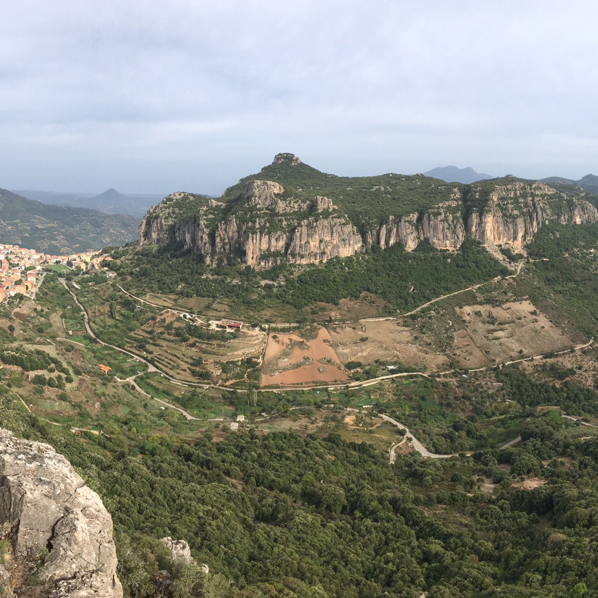
A uniquely shaped, towering tower, a natural monument, symbol of Ogliastra, and a key morphological feature of central-eastern Sardinia. Perhaps once a gathering place for the Nuragic peoples, it later became, in popular legend, the entrance to the underworld. It protrudes from the earth like a giant finger reaching toward the sky and, especially in this wild area, is a landmark visible from afar for hikers. Perda 'e Liana is an extraordinary rock formation declared a natural monument in 1993. The peculiar "mountain," known in Sardinian as Taccu or Tonneri, rises in the Gairo Sant'Elena area: it is the greatest witness to the erosive effects of weathering that have been affecting the vast limestone cover of Ogliastra on the border with Barbagia di Seulo for several million years. Erosion gradually isolated the "tower," forming its base. It is the highest (1293 m) of the numerous Ogliastra limestone mountains, the northern foothills of the Tonneri plateau, about two kilometers away, to which it is connected by the s'Arcu 'e su Pirastu Trottu pass. Perhaps in ancient times, they formed a single mountain ridge. Source and further information: https://www.sardegnaturismo.it/de/entdecken/perda-e-liana
0
0

On Monte IDOLO, hikers will not come across a summit cross - as is often the case. The small sacred monument that instead rises above Sardinia is a statue of SAN MICHELE ARCANGELO. The heavenly messenger is equipped with powerful wings, which give him an imposing figure. However, one will look in vain for a sword or a lance, which are often given to him as an attribute.
0
0

At 1,834 meters, Punta La Marmora is the highest peak in the whole of Sardinia. It is located in the Gennargentu massif, between the municipalities of Arzana and Desulo, and is named after the general and scientist Alberto Ferrero della Marmora, who described the Sardinian island in two scientific-literary works.
2
0
It may not be obvious that Sardinia's highest mountain is crowned by an imposing summit cross, but it seems completely natural to the mountain hiker. A base made of natural stone from the surrounding area forms the lower level of this small sacred monument. A round column bears the Latin inscription "Ave Crux spes unica" (loosely translated "Hail [Holy] Cross, [our] only hope") and continues further up - almost seamlessly - into the longitudinal beam of the cross. Like many other summit crosses, it is comparatively simple in its design and has no corpus, but is certainly dignified.
3
0

With an all-mountain mountain bike you can do almost everything on the bike, both uphill and downhill
1
0
Frequently Asked Questions
What are some of the most popular mountain peaks around Gàiru/Gairo?
Visitors to Gàiru/Gairo often enjoy Bruncu Matzeu Summit (955 m) for its sensational views, despite being less visited. Another highly appreciated spot is Summit of Punta La Marmora, the highest point in Sardinia, offering expansive vistas.
What is the highest mountain peak in the Gàiru/Gairo area?
The highest peak in the Gàiru/Gairo area, and indeed all of Sardinia, is the Summit of Punta La Marmora, standing at 1,834 meters. From its top, you can enjoy panoramic views across the island and even see Corsica on clear days.
Are there any unique natural monuments to explore near Gàiru/Gairo?
Yes, a prominent natural monument is Perda e Liana. This uniquely shaped, towering rock formation is a symbol of Ogliastra and a landmark visible from afar. It's an extraordinary rock formation declared a natural monument in 1993, showcasing the erosive effects of weathering over millions of years.
What is the typical difficulty level of hiking trails around Gàiru/Gairo's mountain peaks?
The mountain peaks around Gàiru/Gairo offer a range of difficulties. You can find intermediate trails, such as those leading to Bruncu Matzeu Summit (955 m) or Perda e Liana. More challenging ascents are available, including the hike to the Summit of Punta La Marmora and Monte Cartucceddu, which may involve scrambling.
What is the best time of year to hike the mountain peaks around Gàiru/Gairo?
For hiking to the Summit of Punta La Marmora, the months from June to September are ideal. However, many peaks in the region can be enjoyed year-round, depending on weather conditions and your preparedness for varying temperatures and terrain.
Are there other outdoor activities available near the Gàiru/Gairo mountain peaks besides hiking?
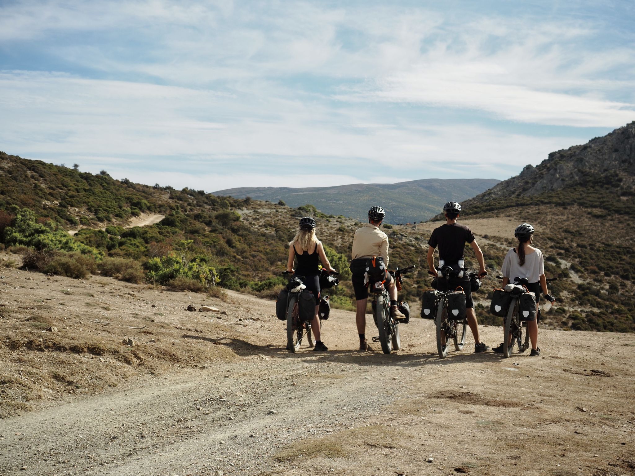
Absolutely. The region around Gàiru/Gairo is excellent for various outdoor activities. You can find numerous cycling routes, including touring bicycle options like the "Coastal road – Barì Tower loop" or "Genna Tidu Pass – Viewpoint at Genna Didu loop." For road cycling, consider the "Ring in the Gennargentiu Mountains." Mountain biking enthusiasts can explore trails such as "Verso il nuraghe Aradasai sui monti del Gennargentu" or "View of Punta La Marmora – Su Tuvu Nieddu Spring loop." You can find more details on these activities in the Cycling around Gàiru/Gairo, Road Cycling Routes around Gàiru/Gairo, and MTB Trails around Gàiru/Gairo guides.
Are there any cultural or historical sites on the mountain peaks near Gàiru/Gairo?
Yes, on Monte Idolo, you can find the Statue of St. Michael the Archangel on Monte Idolo. This small sacred monument, featuring the heavenly messenger with powerful wings, offers a unique cultural element amidst the natural beauty and provides great views of the coast and surrounding towns.
What should I know about hiking to the Summit of Punta La Marmora?
Hiking to the Summit of Punta La Marmora is a rewarding experience. The route is about 15.5 kilometers long and takes approximately three and a half to four and a half hours. It traverses diverse landscapes, including forests, meadows, and rocky terrain. Remember to wear sturdy hiking boots, carry enough water, and use sun protection. The true summit is marked by a small rock pyramid, not the large summit cross you might encounter earlier.
What do visitors enjoy most about the mountain peaks around Gàiru/Gairo?
Visitors consistently praise the sensational and breathtaking views from various summits, such as Bruncu Matzeu Summit (955 m) and Summit of Punta La Marmora. The unique natural formations like Perda e Liana are also highly appreciated for their striking appearance and symbolic significance. The overall variety of landscapes and the sense of adventure on less-traveled paths are frequently highlighted.
Are there any loop trails for mountain peaks around Gàiru/Gairo?
While specific loop trails directly around the listed mountain peaks are not detailed, the region offers various loop routes for other activities. For instance, mountain biking has options like the "Verso il nuraghe Aradasai sui monti del Gennargentu - giro ad anello" or the "View of Punta La Marmora – Su Tuvu Nieddu Spring loop from Gairo Taquisara." These often provide scenic views of the mountainous landscape.
Where can I find parking for hiking trails in the Gàiru/Gairo mountains?
For hikes to the Summit of Punta La Marmora, you can typically start your tour from parking areas at Rifugio Sa Crista or Rifugio S’Arena near Desulo. For other trails, parking availability may vary, so it's advisable to check specific route details before your visit.
What kind of wildlife can I expect to see in the Gàiru/Gairo mountains?
While specific wildlife details for the Gàiru/Gairo mountains (Sardinia) are not extensively provided, mountainous regions in Sardinia are known for diverse fauna. Keep an eye out for local bird species, various insects, and potentially small mammals. The natural environments, including forests and rocky areas, provide habitats for a range of creatures.
Most popular routes around Gàiru/Gairo
Most popular attractions around Gàiru/Gairo

Get inspired with the komoot mobile app


Explore more
See even more amazing summits around Gàiru/Gairo with these guides:
