The best walks and hikes around Val Della Torre
4.4
(353)
1,869
hikers
54
hikes
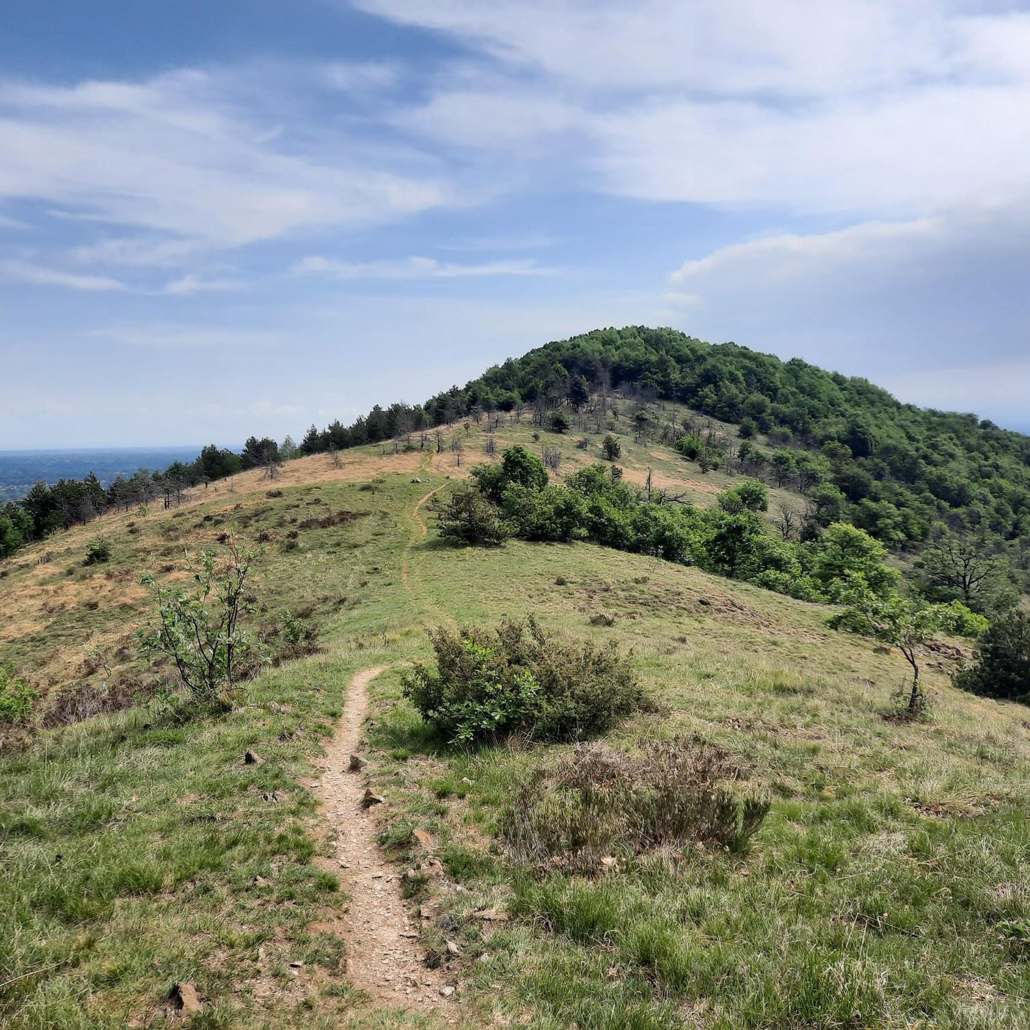
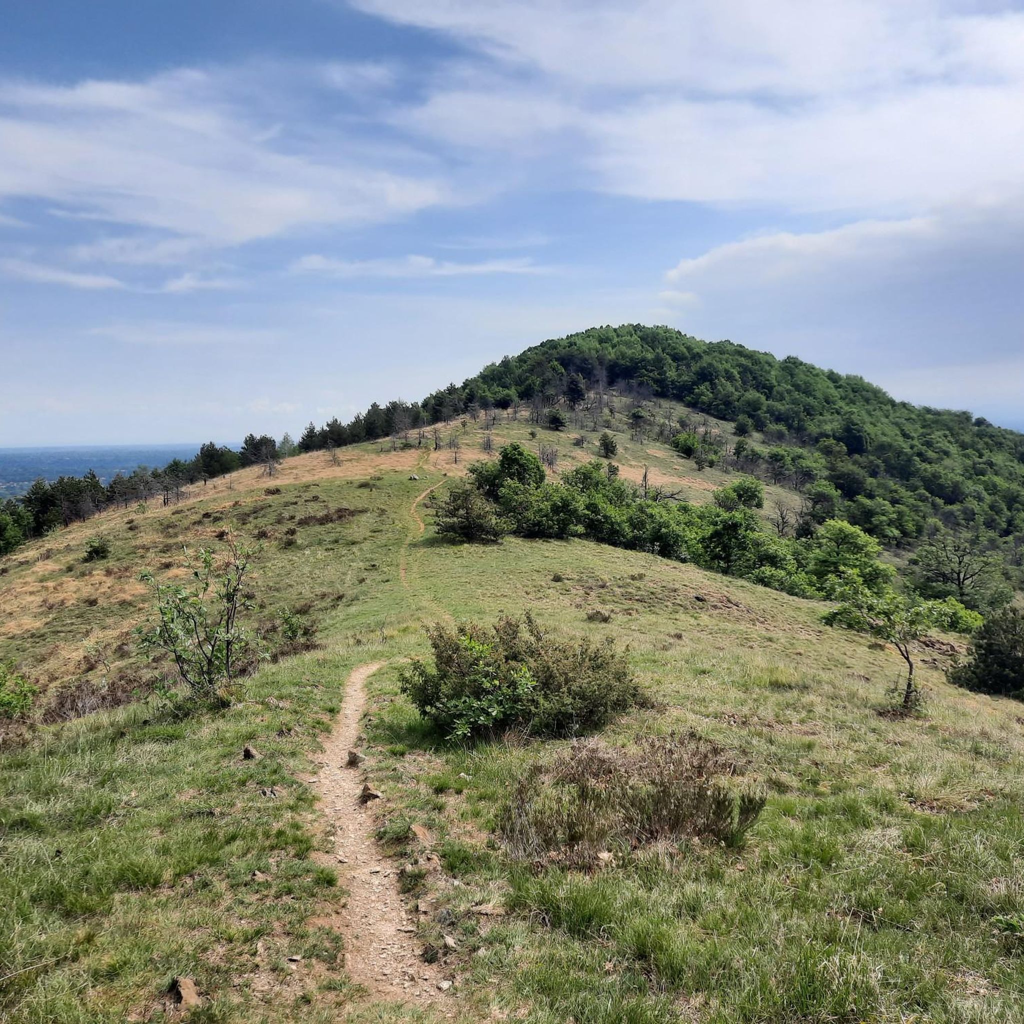
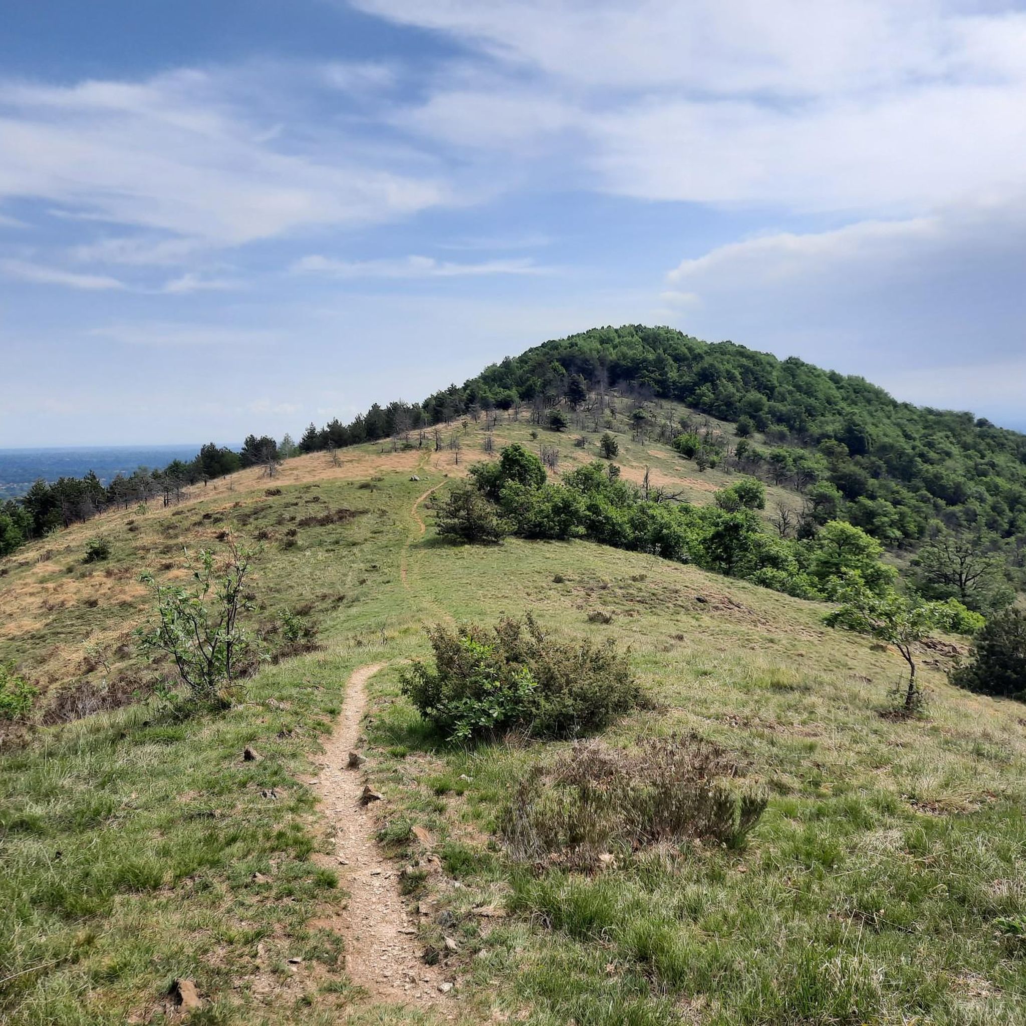
Hiking around Val Della Torre, situated in Italy's Piedmont region within the Metropolitan City of Turin, offers diverse trails through a pre-alpine environment. The region features a mountainous landscape with notable peaks such as Monte Musinè and Monte Arpone, providing varied terrain from forested paths to rocky sections. Hikers can find routes with significant elevation gain leading to panoramic viewpoints over the plain and the city of Turin.
Best hiking trails around Val Della Torre
- The most popular hiking route is Forest trail to Rifugio Colle della Portia, a 3.4 miles (5.5 km) trail that takes 1 hour 40 minutes to complete. This easy path leads to a cozy stone refuge offering sweeping views.
- Another top favourite among local hikers is CAI Trail 002 to Rifugio Portia, a moderate 6.8 miles (11.0 km) path. This route follows a marked CAI trail with significant elevation gain to the Rifugio Portia.
- Local hikers also love the Monte Arpone – loop tour in the province of Torino, a 9.5 miles (15.3 km) trail leading through mountainous terrain to a panoramic summit, often completed in about 7 hours.
- Hiking around Val Della Torre is defined by mountainous terrain, diverse peaks like Monte Musinè and Monte Arpone, and lush forests. The network offers options for easy walks, moderate ascents, and more challenging routes.
- The routes in Val Della Torre are highly rated by the komoot community with an average score of 4.4 stars from over 300 reviews. More than 1,700 hikers have used komoot to explore Val Della Torre's varied terrain.
Last updated: June 23, 2026
4.6
(55)
252
hikers
5.46km
01:39
170m
170m
This easy hike on the Forest trail to Rifugio Colle della Portia offers a peaceful mountain escape through the Parco Naturale Col del Lys. You will follow well-kept gravel paths, climbing gently in the shade of the forest, occasionally catching glimpses of the valley below. The route covers 3.4 miles (5.5 km) with an elevation gain of 544 feet (166 metres), making it an accessible journey for most hikers. Plan for about 1 hour and 38 minutes to reach the charming stone Rifugio Colle della Portia, which sits on a grassy hill. This trail provides a serene experience, leading you through beautiful natural surroundings to a welcoming mountain refuge.
To begin your hike, you can reach the trailhead at Colle del Lys by car. Parking is readily available near the natural park entrance, making access straightforward. The refuge itself is usually open, offering a perfect spot to pause and enjoy the mountain atmosphere. Consider starting your hike in the morning to make the most of the daylight and the tranquility of the park. Always check local conditions before you go, especially regarding refuge opening times.
This route connects two important mountain passes, offering you a taste of authentic Piedmontese mountain culture. The area is rich in history, featuring Partisan Trails with information panels that tell the story of events from 1943 to 1945. As you hike, you will discover viewpoints that showcase the stunning landscape, from the Ligurian Apennines to the Eastern Alps. The trail is a treasured natural area, providing both natural beauty and historical depth.
4.5
(11)
52
hikers
11.0km
04:09
760m
760m
Hike the moderate CAI Trail 002 to Rifugio Colle della Portia, covering 6.8 miles with 2502 feet of elevation gain in 4 hours and 9 minutes.

Sign up for free
4.5
(6)
27
hikers
15.3km
06:57
1,050m
1,040m
Hard hike. Very good fitness required. Sure-footedness, sturdy shoes and alpine experience required.
4.0
(5)
29
hikers
7.50km
04:15
740m
740m
Hike the moderate Monte Musinè via Monte Calvo Trail for 4.7 miles, gaining 2436 feet, with panoramic views and historical sites.
4.5
(11)
25
hikers
8.15km
03:42
590m
590m
Peaceful woodland trail to a historic sanctuary built from a 1713 promise in Piedmont's hills.
Get access to more routes and recommendations from other explorers.
Sign up for free
Already have an account?
Our route recommendations are based on thousands of hikes, rides, and runs completed by other people on komoot.
Start today with a free account
Your next adventure awaits.
Login or Signup


Tips from the Community

We triangle up in our fart lux discord every friday and blast these hidden fuck-arounds. step sister stuck on the bunkbed slats, latina moaning her fake lashes off, bbw milf stuffing her married twat on tok cam and forgot to mute. homemade sex tapes competing to see which couple nuts fastest with the squeakiest bed. i've medically cum hallucinated watching a spanish cupcake get gravity fucked in backseat of honda civic while k-pop playlist fucked up the audio. https://homemadeporn.fun/video/20541/young-japanese-girl-gets-her-wet-pussy-being-shagged/ https://homemadeporn.love/video/45928/real-shemale-hooker-visit-german-homemade-latina-cum/ Guys, swinging by the site I keep a huge folder of drunk amateur nights: redhead slut and her military bf camming from barrack cot, noisy dorm cream shot after a keg stand, tiny teen ride till her bf screams "toes curling". clips lasting 2 minutes or 45 minutes, doesnt matter cuz you tag everything іn categories like balcony missionary family room orgy car blowjob woods, pretty wild spread. quality does loop between potato 360p and crystal slomo tiddie bounce. https://amateurporn.ooo/video/19897/ivy-wolfe-crazy-passionate-orgasms-and-rough-sex/ Theres also this southern belle couple showing splatters on the mirror filming for three months straight, girl begs like a metro station shameless tracks. they upload every friday so i know when to polish the bishop. real southern drawl ass talk like "get my hole daddy you hear that thunder" mid-fuck. swear my speakers smell pine when they cum. showed it to cousin levon and he hit the whole pot of moonshine just listening.
0
0

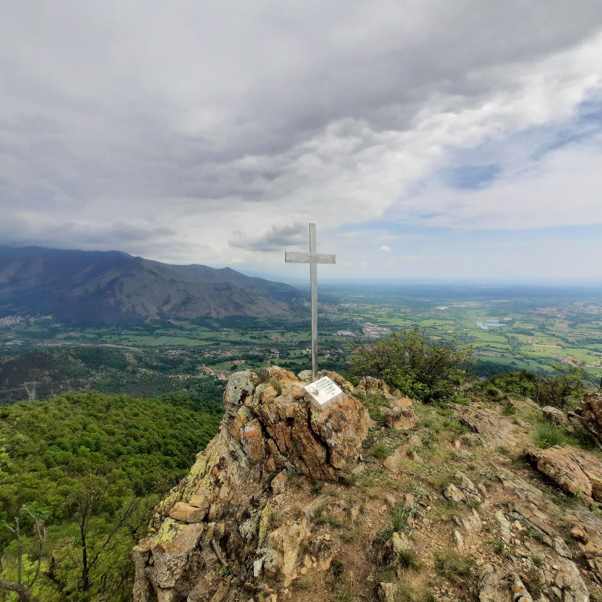
Beautiful panoramic summit, the last short stretch to reach it is over scree
1
0

Accessible from Almese on a dirt road or by climbing from Rubiana towards Col del Lys at the crossroads shortly after Mompellato. You can also climb from Val della Torre via a hiking trail.
0
0

Beautiful peak, but don't go in winter as it's really difficult due to the snow
1
0


now only a little snow. Lots of people with the first warm weather
0
1

From this crossroads it is possible to reach Val della Torre, but in the first stretch of the path you need to pay a little attention due to some exposed passages
0
0
Climbing by mountain bike from Brione is almost impassable. Once you reach the Chapel of the Holy Family, take the path along the left wall of the church to descend towards Caselette. It becomes easier to ride, more scenic, more technical, and more fun.
1
0
Frequently Asked Questions
What kind of terrain can I expect on hikes in Val Della Torre?
Val Della Torre offers a diverse pre-alpine environment. You'll find a mix of lush forested paths and more challenging rocky sections, sometimes referred to as "pietraie." The region is characterized by mountainous terrain, with trails leading to notable peaks like Monte Musinè and Monte Arpone.
Are there any easy hiking trails suitable for beginners or families in Val Della Torre?
Yes, Val Della Torre has options for easier walks. For instance, the Forest trail to Rifugio Colle della Portia is an easy path that leads to a cozy stone refuge with sweeping views, making it a good choice for a less strenuous outing.
Where can I find panoramic views in Val Della Torre?
Many trails in Val Della Torre lead to breathtaking panoramic viewpoints. Locations such as Colle della Portia and Monte Arpone offer expansive vistas of the plain and the city of Turin, especially on clear days. The Monte Arpone – loop tour, though challenging, rewards hikers with a panoramic summit.
Are there any historical or cultural landmarks to see while hiking in Val Della Torre?
Yes, the region blends natural beauty with cultural interest. The Santuario Madonna della Bassa Trail (via CAI 011) leads to a historic sanctuary nestled in Piedmont's hills. Additionally, you might encounter historical sites along routes like the Monte Musinè via Monte Calvo Trail.
What is the best time of year to go hiking in Val Della Torre?
Val Della Torre offers a refreshing escape into a pre-alpine environment. While specific seasonal data isn't provided, the lush forests and diverse flora suggest that spring and autumn would be ideal for pleasant temperatures and vibrant scenery. Summer offers a cool escape from the heat of the plains, while winter hikes might require more specialized gear due to snow and ice at higher elevations.
What do other hikers enjoy most about the trails in Val Della Torre?
The trails in Val Della Torre are highly rated by the komoot community, with an average score of 4.4 stars from over 300 reviews. Hikers often praise the diverse mountainous terrain, the rewarding panoramic views, and the well-maintained paths, including those marked by the Club Alpino Italiano (CAI).
Are there any challenging hikes for experienced hikers in Val Della Torre?
Absolutely. For those seeking a challenge, the Monte Arpone – loop tour in the province of Torino is described as a hard hike, requiring very good fitness and alpine experience. It leads through mountainous terrain to a panoramic summit at the border between Val di Viù, Val della Torre, and Val di Susa.
Are there any refuges or huts along the hiking trails in Val Della Torre?
Yes, you can find refuges along some routes. The Forest trail to Rifugio Colle della Portia and the CAI Trail 002 to Rifugio Portia both lead to the cozy Colle della Portia Hut, which offers sweeping views and a place to rest.
How many hiking routes are available in Val Della Torre?
There are nearly 50 hiking routes available in Val Della Torre, catering to various fitness levels. This includes 3 easy routes, 25 moderate routes, and 20 difficult routes, ensuring options for everyone from casual walkers to experienced mountaineers.
What are some notable peaks in the Val Della Torre region?
Val Della Torre is home to several significant peaks that are popular targets for hikers. These include Monte Musinè, recognizable by its prominent summit cross, and Monte Arpone, which offers expansive vistas stretching from the Alps to the Apennines.
Is Val Della Torre easily accessible from Turin?
Yes, Val Della Torre is conveniently located approximately 25 kilometers northwest of Turin, making it an easily accessible destination for both locals and visitors seeking outdoor adventures and a refreshing escape into a pre-alpine environment.
Are there any specific trails marked by the Club Alpino Italiano (CAI) in Val Della Torre?
Yes, the area benefits from a network of well-maintained trails, including those marked by the Club Alpino Italiano (CAI). For example, the CAI Trail 002 to Rifugio Portia is a popular moderate route that follows a clearly marked CAI path with significant elevation gain.
Most popular routes around Val Della Torre
Most popular attractions around Val Della Torre

Get inspired with the komoot mobile app


Explore more
Browse the best Hikes in other regions.
