The best walks and hikes around Chiusa Di San Michele
4.5
(591)
3,083
hikers
30
hikes
Hiking around Chiusa Di San Michele offers diverse landscapes, from lush woodlands to rugged alpine terrain, situated at the foot of Mount Pirchiriano in Italy's Piedmont region. The area is characterized by its dramatic geological setting, with the Susa Valley constricted between Mount Pirchiriano and Caprasio. Hikers can explore chestnut and beech forests, higher altitude alpine meadows, and historical routes like the ancient Via Francigena. The region's varied topography provides a range of experiences for outdoor enthusiasts.
Best hiking trails…
Last updated: July 7, 2026
4.81km
01:28
160m
160m
Easy hike. Great for any fitness level. Easily-accessible paths. Suitable for all skill levels.
10
hikers
5.52km
02:30
380m
380m
Moderate hike. Good fitness required. Mostly accessible paths. Sure-footedness required.

Sign up for free
4.8
(28)
172
hikers
5.45km
02:52
500m
490m
Moderate hike. Good fitness required. Mostly accessible paths. Sure-footedness required.
4.5
(83)
326
hikers
Moderate hike. Good fitness required. Mostly accessible paths. Sure-footedness required.
4.6
(7)
37
hikers
27.4km
10:44
1,550m
1,550m
Hard hike. Very good fitness required. Mostly accessible paths. Sure-footedness required.
Get access to more routes and recommendations from other explorers.
Sign up for free
Already have an account?
Our route recommendations are based on thousands of hikes, rides, and runs completed by other people on komoot.
Start today with a free account
Your next adventure awaits.
Login or Signup
Popular around Chiusa Di San Michele
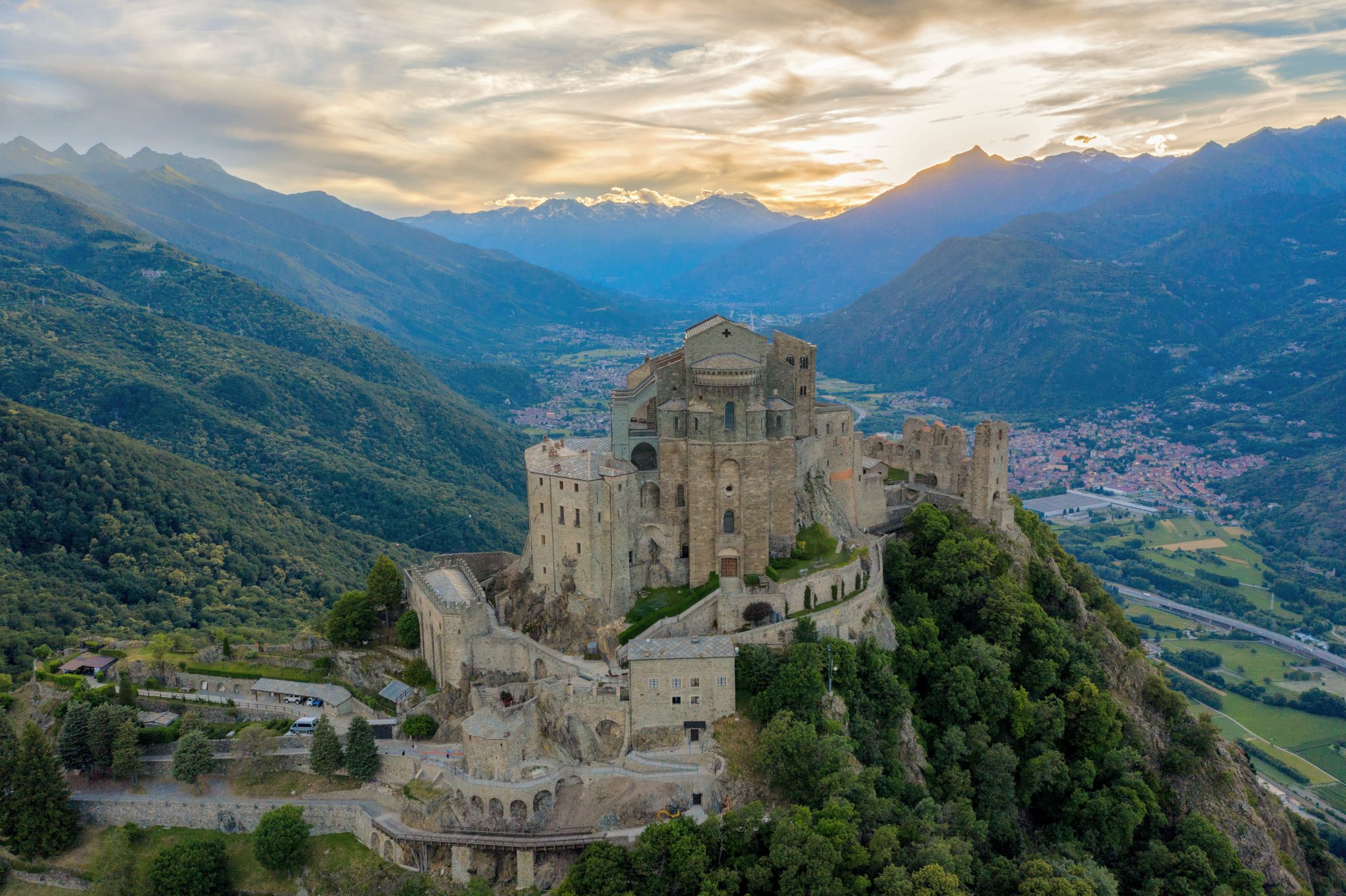
Via Francigena in Valle di Susa – complete route and 'for all' section
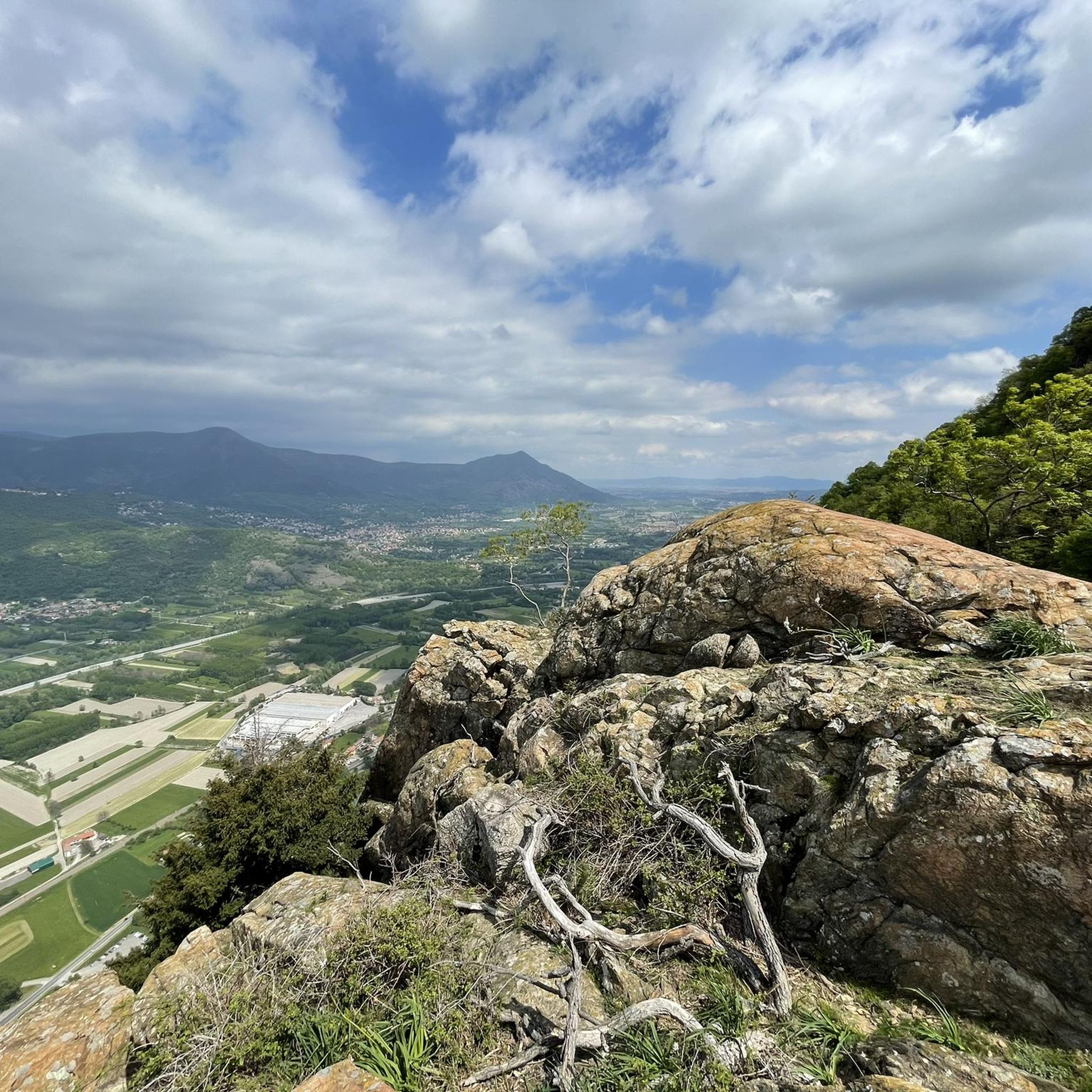
Cycling around Chiusa Di San Michele
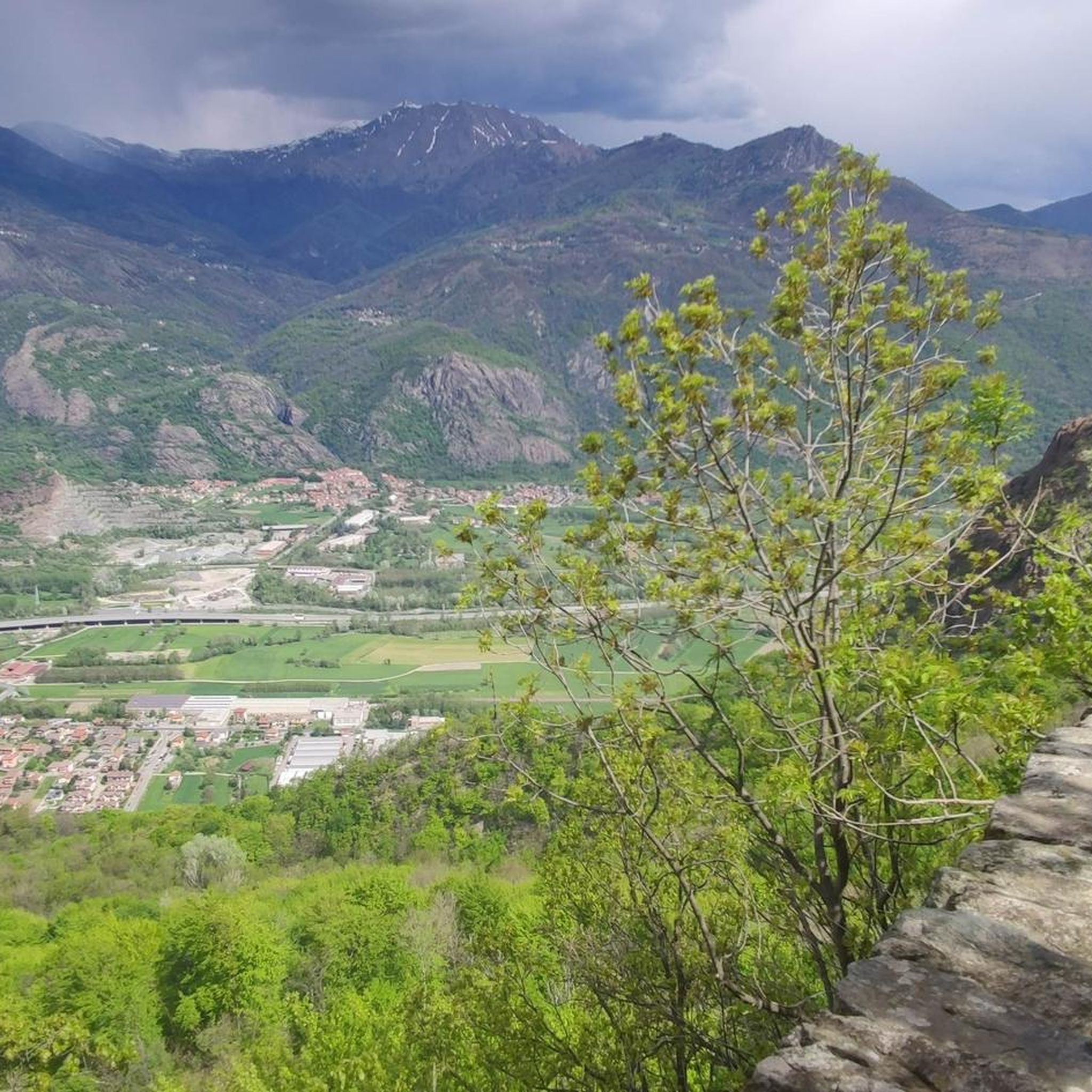
MTB Trails around Chiusa Di San Michele
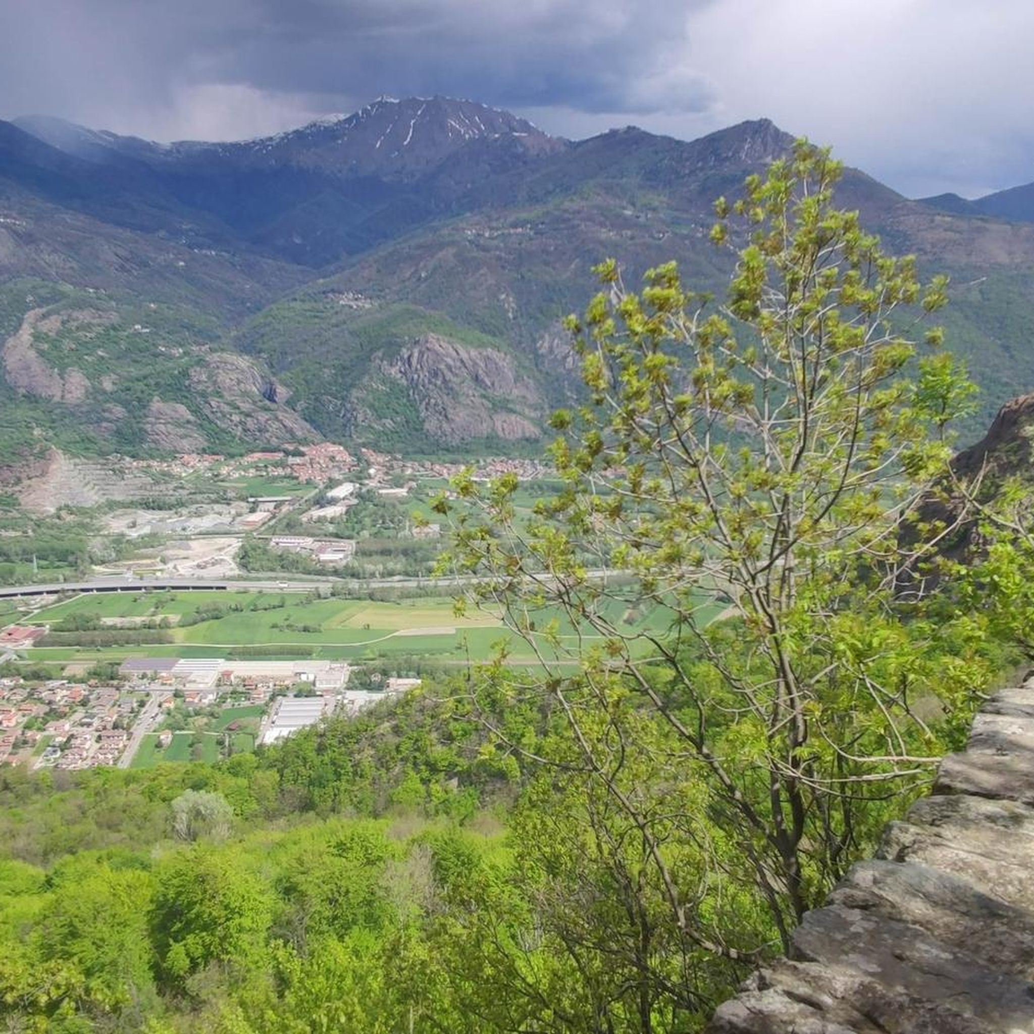
Road Cycling Routes around Chiusa Di San Michele
Running Trails around Chiusa Di San Michele

Gravel biking around Chiusa Di San Michele

Mountain Hikes around Chiusa Di San Michele
Other adventures around Chiusa Di San Michele

Tips from the Community

A long and challenging climb from Condove, it can also be reached from the Lemie side in Val di Viú
1
0

A shelter offers shelter from the elements to wayfarers and pilgrims undertaking the Stations of the Cross. There are also benches and an outdoor picnic table for better weather. Either way, it's a good excuse for a break.
0
0
Remains of the ancient palace (or castle) connected to the abbey. What remains has been recently restored and now houses a hotel and restaurant. The view, even from the outside, is remarkable. You pass it while walking the Stations of the Cross, and it's worth a look.
0
0
Climbing up to the Sacra di San Michele along the Stations of the Cross. Given the steepness, it's truly a Stations of the Cross.
0
0
Natural cavity in the fractures of serpentinite, called a "cave" with some optimistic - but interesting - character.
0
0
Rest area with picnic table and drinking fountain.
0
0
Remains of the Sacra monastery complex, just before the "main course".
0
0

The path up to San Michele gets steep very quickly!
0
0
Frequently Asked Questions
How many hiking trails are available around Chiusa Di San Michele?
There are over 25 hiking trails around Chiusa Di San Michele, offering a diverse range of experiences from easy strolls through woodlands to challenging ascents with panoramic views. The komoot community has explored these routes over 2700 times.
What are the different difficulty levels for hiking trails in this area?
The trails around Chiusa Di San Michele cater to various fitness levels. You'll find 5 easy routes, perfect for a relaxed walk, 14 moderate trails for those seeking a bit more challenge, and 10 difficult routes for experienced hikers looking for strenuous climbs and longer distances.
Are there any easy hiking trails suitable for beginners or families?
Yes, there are several easy trails ideal for beginners or families. One popular option is the Basmat Binariva Wooden Sculptures Trail (via Route 561), a 3.0-mile (4.8 km) path leading through lush woodlands and featuring charming wooden sculptures, typically completed in under 1.5 hours.
Can I find circular hiking routes around Chiusa Di San Michele?
Absolutely. Many trails in the area are designed as loops, allowing you to start and end in the same location. A notable circular route is the Sacra di San Michele loop from Chiusa di San Michele, a moderate 3.4-mile (5.4 km) path that offers a challenging ascent to the iconic abbey and stunning views.
What are the best viewpoints or scenic spots along the trails?
The region is rich in scenic spots. The ascent to the Sacra di San Michele itself offers breathtaking panoramic views of the Susa Valley. Higher altitude routes, such as those found on the View from Truc del Seru – Trail to Lajetto loop from Condove - Chiusa San Michele, provide expansive vistas of alpine meadows and surrounding mountains. The dramatic geological setting between Mount Pirchiriano and Caprasio also creates unique natural beauty.
Are there any historical or cultural landmarks to explore while hiking?
Chiusa Di San Michele is steeped in history. The most prominent landmark is the Sacra di San Michele, an ancient abbey perched on Mount Pirchiriano, accessible via several hiking paths including the historic Via Francigena Trail: Monginevro Variant. Trails also pass through charming hamlets like Bennale and Pian Pomè, and you can explore the Stations of the Cross leading to the abbey.
Is Chiusa Di San Michele accessible by public transport for hikers?
Chiusa Di San Michele is generally accessible by public transport, particularly by train from Turin, making it convenient for hikers without a car. From the train station, many trailheads are within walking distance or a short local bus ride. It's advisable to check local bus schedules for specific connections to more remote trail starting points.
Where can I park my car when visiting hiking trails in Chiusa Di San Michele?
Parking is available in and around Chiusa Di San Michele, especially near the town center and at the base of Mount Pirchiriano for those heading to the Sacra di San Michele. Designated parking areas are often signposted. For specific trailheads, it's recommended to check komoot tour details for parking information provided by other users.
What is the best time of year to go hiking in Chiusa Di San Michele?
The best time for hiking in Chiusa Di San Michele is typically from spring to autumn (April to October). Spring offers blooming apple trees in hamlets like Pian Pomè, while autumn provides beautiful foliage in the chestnut and beech forests. Summer is also popular, though higher altitude routes might be preferable to escape the heat. Winter hiking is possible but requires appropriate gear and caution due to snow and ice.
What do other hikers enjoy most about hiking in Chiusa Di San Michele?
The area is highly rated by the komoot community, with an average score of 4.4 stars from over 480 reviews. Reviewers often praise the stunning views of the Susa Valley, the historical significance of the Sacra di San Michele, and the diverse landscapes ranging from lush forests to more rugged terrain. The well-maintained paths and variety of difficulty levels are also frequently highlighted.
Are there any trails that offer a spiritual or pilgrimage experience?
Yes, the region is deeply connected to pilgrimage. The ancient Via Francigena Trail: Monginevro Variant passes through the area, historically serving as a pilgrimage route. Additionally, the Shelter on the Via Crucis – Bosco delle Meraviglie loop from Chiusa di San Michele offers a steep path marked by the Stations of the Cross, leading to the Sacra di San Michele, providing a physically and spiritually demanding climb.
Can I find trails that pass by lakes or other natural water features?
While the immediate trails around Chiusa Di San Michele focus more on mountain and forest landscapes, the broader region features beautiful lakes. The Small Lake of Avigliana and Lago Grande di Avigliana are nearby attractions that offer scenic walks and are known for their picturesque settings.
Most popular routes around Chiusa Di San Michele
Most popular attractions around Chiusa Di San Michele

Get inspired with the komoot mobile app


Explore more
Browse the best Hikes in other regions.
