The 15 Most Amazing Peaks around Lugnacco
Best mountain peaks around Lugnacco are characterized by their elevated terrain within Italy's Piedmont region. Lugnacco itself is situated at a moderate elevation, with the town center at approximately 576 meters and the highest point directly associated with the area reaching around 733 meters. These elevated areas offer accessible scenery, historical sites such as ancient churches and a Bronze Age menhir, and panoramic views of the Val di Chy. The region provides a blend of outdoor activity and cultural exploration,…
Last updated: July 1, 2026
Pian delle Nere
Highlight • Viewpoint
Translated by Google •
Tip by

Punta Quinseina Sud Summit Cross
Highlight • Summit
Translated by Google •
Tip by

Sign up now to discover places like this
Get recommendations on the best single tracks, peaks, & plenty of other exciting outdoor places.
Sign up for free
Punta Verzel summit (2,406 m)
Highlight • Summit
Translated by Google •
Tip by

Bossola Peak (1,510 m)
Highlight • Summit
Translated by Google •
Tip by
Monte Calvo Summit
Highlight • Summit
Translated by Google •
Tip by
Sign up for free to discover even more peaks around Lugnacco.
Sign up for free
Already have an account?
Start today with a free account
Your next adventure awaits.
Login or Signup
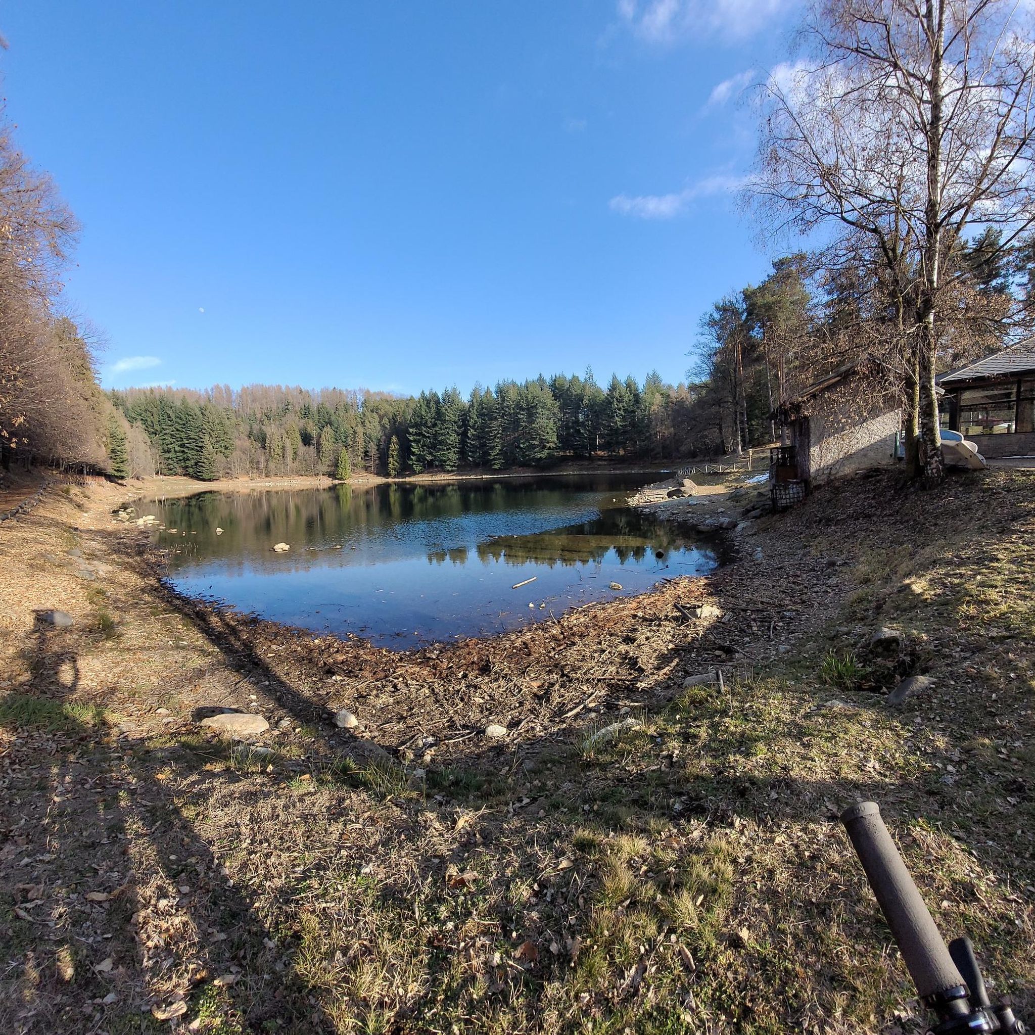
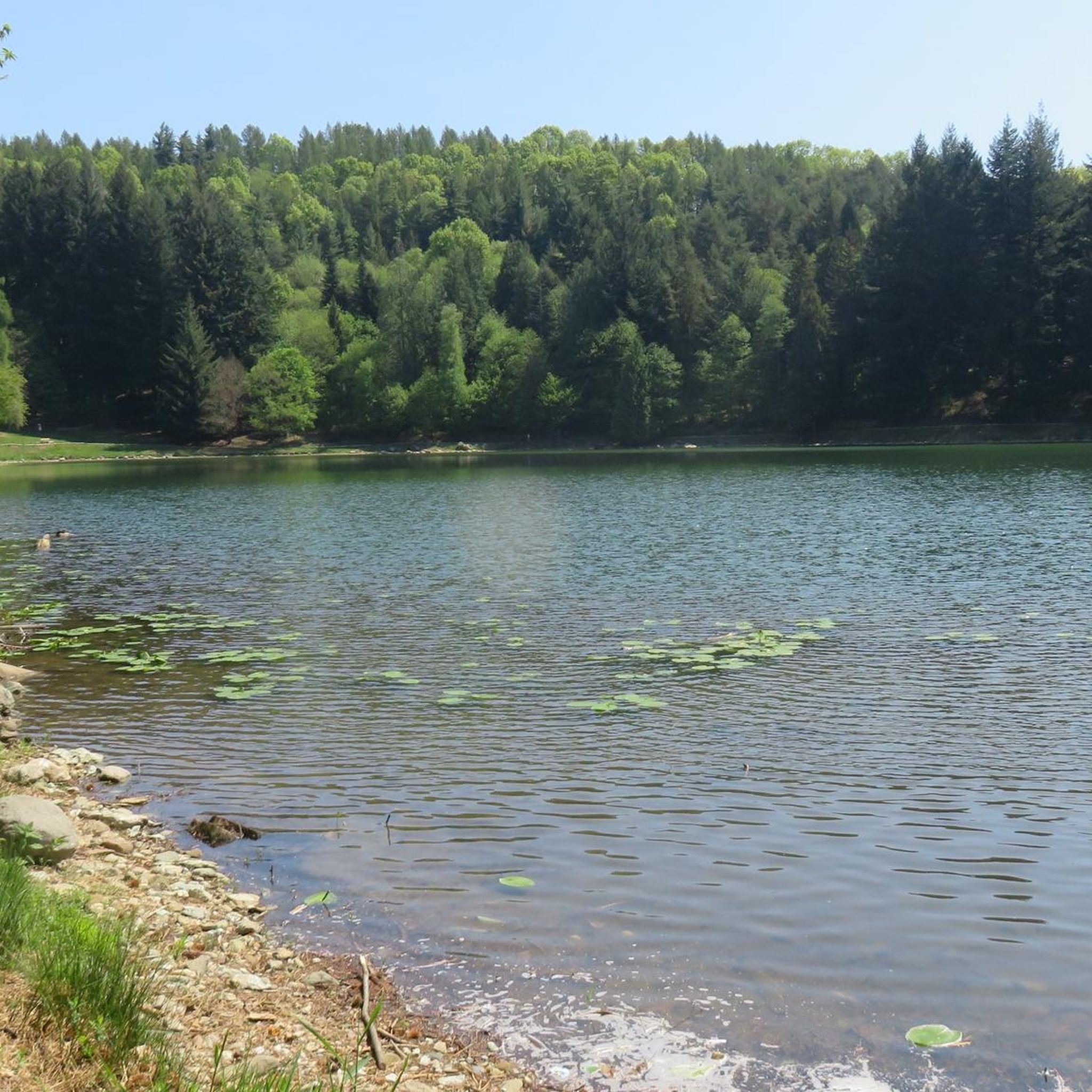
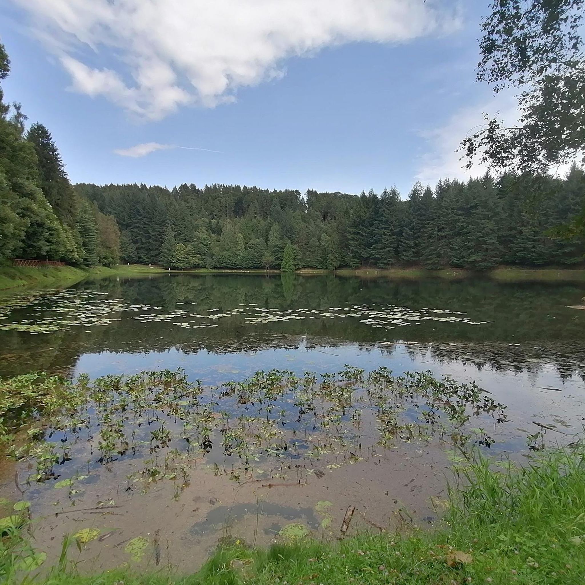

Tips from the Community

Nice ride … breathtaking views
0
0

the blooming of Narcissus and Monte Val o in the background
1
0
short and very panoramic excursion
0
0

Accessible by car via a somewhat narrow but recently restored paved road, it is in excellent condition. Ample parking is available. It has a barbecue and picnic area. It's also an excellent starting point for reaching the surrounding peaks.
1
0

Easy summit, very panoramic, too many people on holidays, better on weekdays.
0
0

A natural spectacle to enjoy in the month of May
1
0
Easily accessible on a paved road (unfortunately). Breathtaking view of the plain. In May, the spectacle of the daffodils blooming is unmissable.
1
0

late autumn weather
0
1
Frequently Asked Questions
What are some popular elevated areas or peaks to visit around Lugnacco?
Around Lugnacco, you can explore several elevated areas and peaks offering unique experiences. Pian delle Nere is a popular viewpoint and plateau overlooking Mount Calvo, serving as a starting point for various trails. Another notable spot is Punta Quinseina Sud Summit Cross, which provides expansive views between the Canavese plain and the Alps. For a simpler, panoramic experience, consider Bossola Peak (1,510 m).
What kind of views can I expect from the elevated areas around Lugnacco?
From the elevated areas around Lugnacco, you can expect diverse and panoramic views. Locations like Pian delle Nere offer wide vistas of the Canavese area. From Punta Quinseina Sud Summit Cross, you can see between the Canavese plain and the majestic Alps. Higher peaks like Punta Verzel summit (2,406 m) provide even more extensive views, stretching from the mountains of Val d'Aosta to the Cuneo area, where Monviso stands out, and across the Canavese plain to the Turin hill.
Are there family-friendly elevated areas or trails around Lugnacco?
Yes, Lugnacco offers several family-friendly elevated areas and trails. The moderate elevations and 'easy' difficulty of routes like the 'Lugnacco - Ancient Val di Chy' trail make them accessible for families. Pian delle Nere is particularly family-friendly, featuring a picnic area and a playground with fantastic views of the Canavese area. Bossola Peak (1,510 m) is also considered a simple and very panoramic summit suitable for families.
What historical or cultural sites can be found in the elevated areas near Lugnacco?
The elevated areas around Lugnacco are rich in historical and cultural significance. Along trails like the 'Lugnacco - Ancient Val di Chy,' you can explore ancient sites such as the 10th-century Church of the Purification of the Virgin Mary, a Bronze Age menhir near the Lugnacco cemetery, and the Nonani chapel. The trail also leads to Pecco, where you can see the 11th-century Church of San Michele and the distant remains of the Arondello castle. Additionally, Monte Calvo Summit features religious statues at its top.
What outdoor activities can I do near the mountain peaks around Lugnacco?
Beyond exploring the peaks themselves, the region around Lugnacco offers a variety of outdoor activities. You can find numerous routes for mountain biking, running, and hiking. For detailed information on trails, you can check out the guides for MTB Trails around Lugnacco, Running Trails around Lugnacco, and Hiking around Lugnacco.
Are there specific hiking trails near these elevated areas?
Yes, there are several hiking trails near the elevated areas around Lugnacco. For instance, Pian delle Nere serves as a starting point for trails leading to refuges and other peaks. The path to Punta Quinseina Sud Summit Cross, starting from Pian del Lupo, is a notable route. You can find more hiking options, including routes like 'Pian delle Nere Trail' and 'Lake of Alice Superiore – Lake Meugliano loop,' in the dedicated Hiking around Lugnacco guide.
What is the difficulty level of hiking trails to the peaks around Lugnacco?
The difficulty of hiking trails to the peaks around Lugnacco varies. Many elevated areas, like the 'Lugnacco - Ancient Val di Chy' trail, are considered easy and accessible. Summits such as Bossola Peak (1,510 m) are simple and panoramic. However, some routes, like the path to Punta Quinseina Sud Summit Cross, can include steep sections, and reaching Punta Verzel summit (2,406 m) involves challenging sections, especially after the refuge.
What is the best time to visit the elevated areas around Lugnacco?
The elevated areas around Lugnacco are enjoyable throughout much of the year, but spring offers a unique spectacle. In May, the meadows around Pian delle Nere are covered with a spectacular sea of daffodils. During these weekends, access might be managed by shuttle from Castelnuovo Nigra due to high visitor numbers. Generally, warmer months provide ideal conditions for hiking and enjoying the panoramic views.
Are there any specific natural features to look out for while hiking near Lugnacco's peaks?
While hiking near Lugnacco's elevated areas, you'll encounter diverse natural features. The region is characterized by its hilly and elevated terrain, offering lush forested areas and open meadows. In May, the meadows around Pian delle Nere are particularly famous for their spectacular daffodil blooms. From higher points, you can also appreciate the broader Piedmontese landscape, often described as being 'at the foot of the mountains'.
What do visitors enjoy most about the elevated areas around Lugnacco?
Visitors particularly appreciate the blend of accessible scenery, historical immersion, and tranquility offered by the elevated areas around Lugnacco. The moderate difficulty of many trails makes them suitable for a wide range of visitors, including families. The presence of ancient churches, chapels, and a Bronze Age menhir allows for a unique cultural exploration alongside outdoor activity. The panoramic views of the Val di Chy, Canavese, and the Alps are also highly valued, providing a serene escape into nature.
Is there parking available for hiking trails near Lugnacco?
Yes, parking is generally available for hiking trails in the area. For instance, Pian delle Nere has a large parking lot, making it a convenient starting point for many beautiful hikes. For other trails, it's advisable to check specific route details for parking information.
Can I reach the elevated areas around Lugnacco using public transport?
While the region is more characterized by its natural terrain, specific public transport options directly to trailheads or higher elevated areas might be limited. During peak seasons, such as May when daffodils bloom at Pian delle Nere, shuttle services from nearby towns like Castelnuovo Nigra may be available to manage visitor flow. For general access to the region, it's best to consult local public transport schedules for connections to Lugnacco or nearby villages.
Most popular routes around Lugnacco
Most popular attractions around Lugnacco

Get inspired with the komoot mobile app


Explore more
See even more amazing summits around Lugnacco with these guides:
