The best walks and hikes around Castelnuovo Nigra
4.4
(996)
4,175
hikers
26
hikes
Hiking around Castelnuovo Nigra offers diverse landscapes, from plateaus to challenging Alpine peaks. The region is characterized by varied terrain, including steep ascents, rocky sections, and equipped passages with ropes and ladders. Notable features include the Pian delle Nere plateau, serving as a starting point for many trails, and prominent peaks like Punta Verzel and Punta Quinseina Sud, which provide extensive panoramic views of the Canavese plain and the surrounding Alps. This area provides a range of hiking experiences for…
Last updated: October 10, 2026
4.6
(32)
158
hikers
13.0km
05:42
1,000m
1,000m
Hard hike. Very good fitness required. Mostly accessible paths. Sure-footedness required.
4.8
(5)
20
hikers
12.1km
03:35
350m
350m
Moderate hike. Good fitness required. Mostly accessible paths. Sure-footedness required.

4.8
(18)
77
hikers
11.5km
04:11
570m
570m
Moderate hike. Good fitness required. Mostly accessible paths. Sure-footedness required.
4.5
(12)
78
hikers
7.53km
03:21
580m
580m
Moderate hike. Good fitness required. Mostly accessible paths. Sure-footedness required.
4.5
(22)
64
hikers
15.7km
05:47
760m
760m
Hard hike. Very good fitness required. Mostly accessible paths. Sure-footedness required.
Get access to more routes and recommendations from other explorers.
Already have an account?
Our route recommendations are based on thousands of hikes, rides, and runs completed by other people on komoot.
Start today with a free account
Your next adventure awaits.

Tips from the Community

I did a nice tour around there today. From Punta Quinzeina then along the ridge to Punta di Verzel. Descent via the refuge. The location is very beautiful and scenic. Too bad about the clouds today. A nice thick layer at the height of the peaks. So fog for the whole route. I will have to repeat the tour to see the panorama which, I read, must be beautiful.
0
0

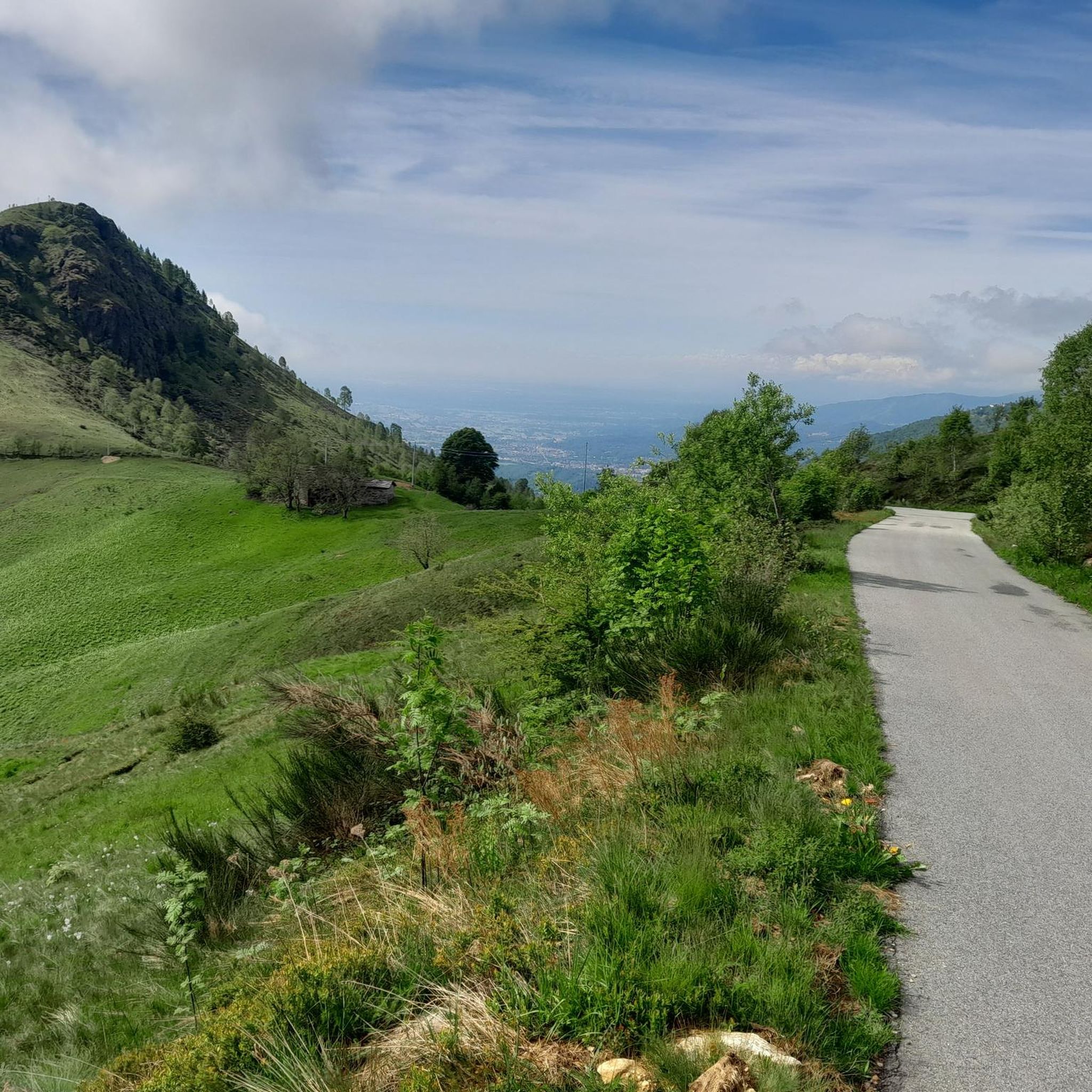
Piazzola, accessible by road for high cars
0
0

L'Alpe Frera is reachable by dirt road and we can stock up on water at the fountain.
0
0

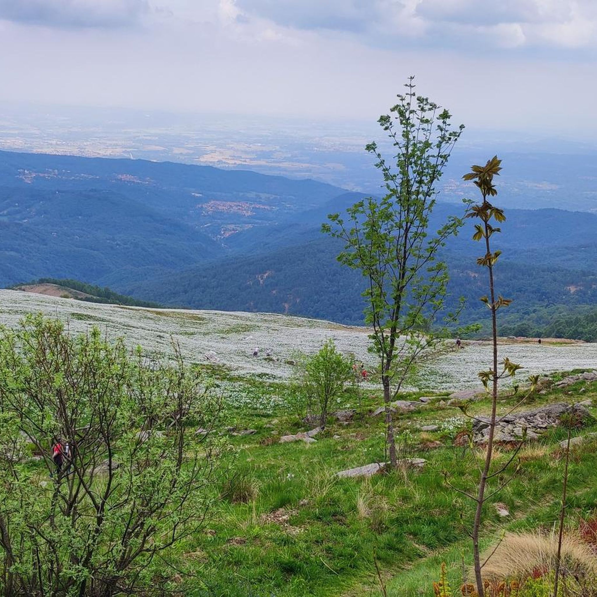
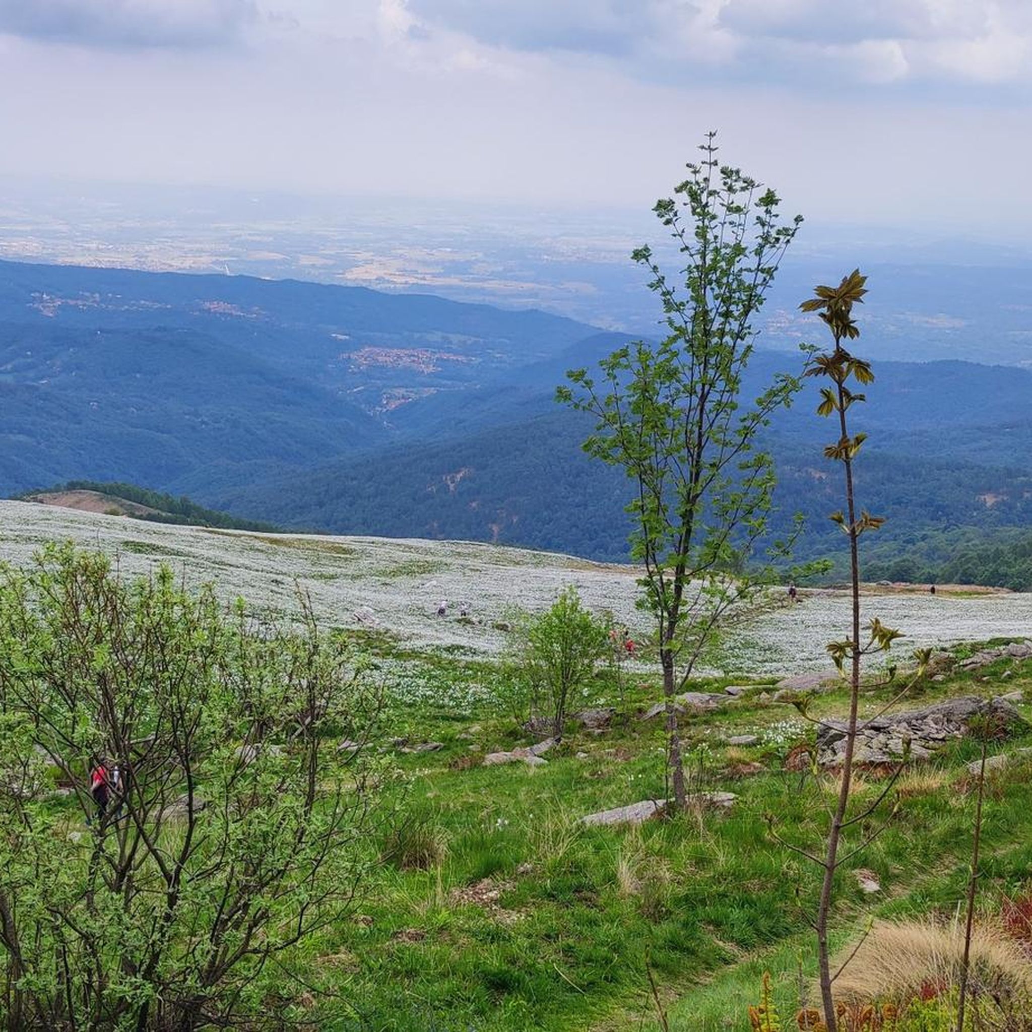
the blooming of Narcissus and Monte Val o in the background
2
0

Accessible by car via a somewhat narrow but recently restored paved road, it is in excellent condition. Ample parking is available. It has a barbecue and picnic area. It's also an excellent starting point for reaching the surrounding peaks.
2
0


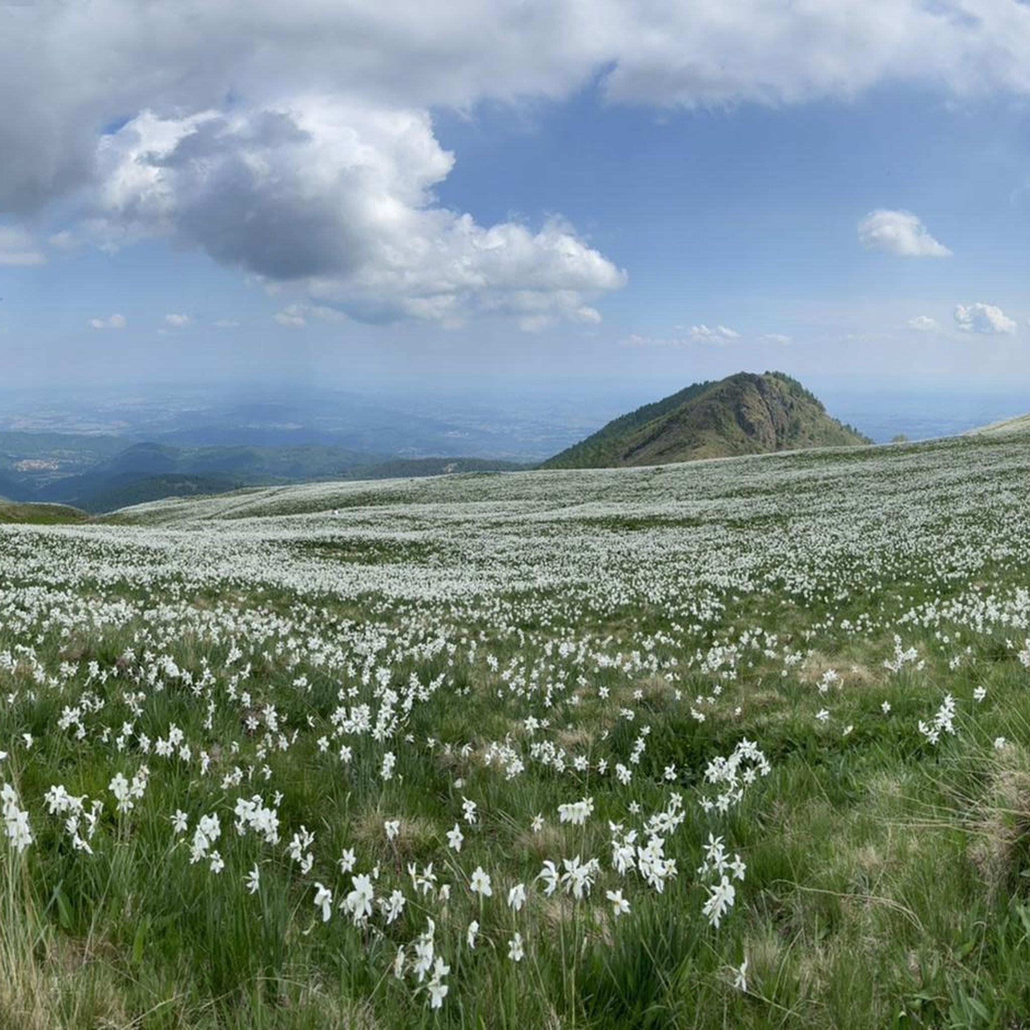
A natural spectacle to enjoy in the month of May
2
0
Easily accessible on a paved road (unfortunately). Breathtaking view of the plain. In May, the spectacle of the daffodils blooming is unmissable.
2
0
Frequently Asked Questions
What kind of terrain can I expect on hikes around Castelnuovo Nigra?
The hiking trails around Castelnuovo Nigra offer a diverse range of terrain. You'll find everything from tranquil paths to challenging, steep ascents, rocky sections, and even equipped passages with metal ropes and ladders, particularly on routes leading to higher peaks like Punta Verzel. This variety ensures engaging hikes for different skill levels, all while providing expansive vistas of the surrounding Alpine peaks and the lowland plains.
Are there any easy or moderate hiking options in Castelnuovo Nigra?
Yes, while the region is known for challenging Alpine routes, there are also moderate options available. For instance, the Santa Elisabetta to Alpe Frera (via CAI Trail 911) is a moderate 7.5-mile path offering varied scenery. Another moderate choice is the Pian delle Nere – Panorama of Pian delle Nere loop from Pian delle Nere, which is about 5.4 miles long.
What are some notable viewpoints or natural features to see while hiking?
The region boasts several stunning natural features and viewpoints. Pian delle Nere is a significant plateau offering panoramic views of the Canavese area and serves as a starting point for many trails. You can also reach peaks like Cima Mares or Punta Quinseina Sud, which provide beautiful views of both the Canavese plain and the Alps.
What is the best time of year to go hiking in Castelnuovo Nigra?
The best time to hike largely depends on your preferred experience. Spring, particularly May, is popular for viewing the narcissus bloom at Pian delle Nere, though road closures and shuttle services may be in effect due to high visitor numbers. Summer offers warmer weather for higher altitude trails. Always check local conditions, especially for equipped passages and higher peaks, as they can be affected by snow or ice outside of peak summer months.
Are there any circular hiking routes available?
Yes, circular routes are available. A popular option is the Rifugio Fornetto loop from Frera, which is a 4.7-mile trail through mountain terrain. Another is the Pian delle Nere – Panorama of Pian delle Nere loop from Pian delle Nere, offering a moderate 5.4-mile circuit.
What do other hikers enjoy most about hiking in Castelnuovo Nigra?
The hiking routes in Castelnuovo Nigra are highly rated by the komoot community, with an average score of 4.4 stars from over 700 reviews. Hikers often praise the diverse landscapes, ranging from high plateaus to challenging Alpine peaks, and the extensive panoramic views of the Canavese plain and surrounding Alps.
How many hiking trails are there in Castelnuovo Nigra?
There are over 15 hiking routes available around Castelnuovo Nigra, offering a variety of experiences from moderate walks to more challenging mountain expeditions.
Are there any trails suitable for families with children?
While many trails can be challenging, areas like Pian delle Nere offer a more accessible environment with a picnic area and a playground, making it a good starting point for family outings. For specific family-friendly routes, look for trails marked as 'easy' or 'moderate' with less elevation gain.
Can I bring my dog on the hiking trails?
Generally, dogs are welcome on hiking trails in Italy, but it's always advisable to keep them on a leash, especially in protected areas or where livestock might be present. Be mindful of the difficulty of the trail, as some routes with equipped passages or steep, rocky sections might not be suitable for all dogs.
Are there any trails that feature waterfalls or streams?
Yes, some trails in the region feature water elements. For example, the classic excursion to Punta Verzel, which often starts from Pian delle Nere, includes sections where you navigate a narrow, stony passage over a stream with a small waterfall, adding an interesting natural feature to the hike.
What is the typical duration for hikes in this area?
Hiking durations vary significantly based on the route's length and difficulty. Moderate trails like Santa Elisabetta to Alpe Frera typically take around 3 hours 35 minutes. More challenging routes, such as Trail 912: Pian delle Nere to Punta di Verzel, can take over 5 hours 40 minutes to complete.
Is there parking available at the trailheads?
Many popular trailheads, such as those near Pian delle Nere, typically offer parking facilities. However, during peak seasons or events, like the narcissus bloom in May, road closures and shuttle services might be in effect, so it's recommended to check local information beforehand.
Most popular routes around Castelnuovo Nigra
Most popular attractions around Castelnuovo Nigra

Get inspired with the komoot mobile app


Explore more
Browse the best Hikes in other regions.
