The best walks and hikes around Usseglio
4.5
(660)
3,379
hikers
67
hikes
Hiking around Usseglio, located in Italy's Valle di Viù at 1200 meters above sea level, offers a diverse alpine environment for outdoor activities. The region is characterized by mountains, many exceeding 3000 meters, and features a network of trails suitable for various skill levels. Hikers can encounter high mountain passes, artificial lakes like Lago di Malciaussia, and clear streams such as the Stura.
Best hiking trails around Usseglio
- The most popular hiking route is Via Alpina Blue D32: From Usseglio…
Last updated: October 10, 2026
4.5
(41)
165
hikers
20.0km
06:28
760m
760m
Hard hike. Very good fitness required. Mostly accessible paths. Sure-footedness required.
4.6
(5)
12
hikers
14.2km
05:50
1,140m
1,150m
Hard hike. Very good fitness required. Mostly accessible paths. Sure-footedness required.

4.6
(15)
62
hikers
7.25km
04:04
710m
710m
Moderate hike. Good fitness required. Mostly accessible paths. Sure-footedness required.
4.9
(15)
69
hikers
11.9km
05:53
1,030m
1,030m
Hard hike. Very good fitness required. Mostly accessible paths. Sure-footedness required.
4.5
(13)
77
hikers
10.7km
03:00
210m
210m
Moderate hike. Good fitness required. Easily-accessible paths. Suitable for all skill levels.
Get access to more routes and recommendations from other explorers.
Already have an account?
Our route recommendations are based on thousands of hikes, rides, and runs completed by other people on komoot.
Start today with a free account
Your next adventure awaits.

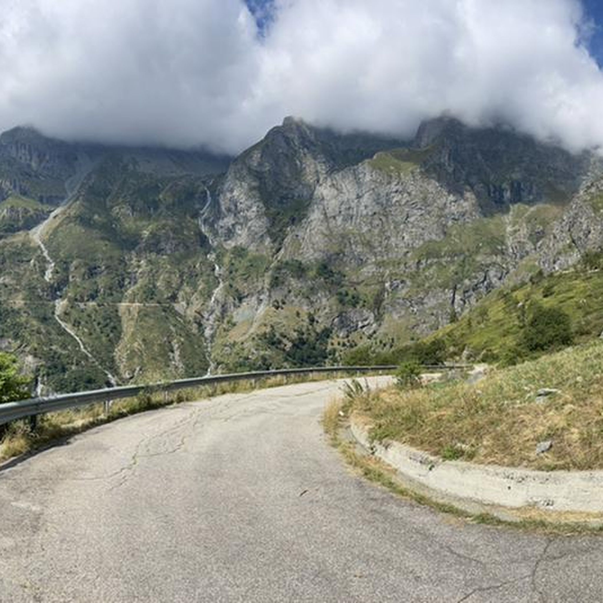
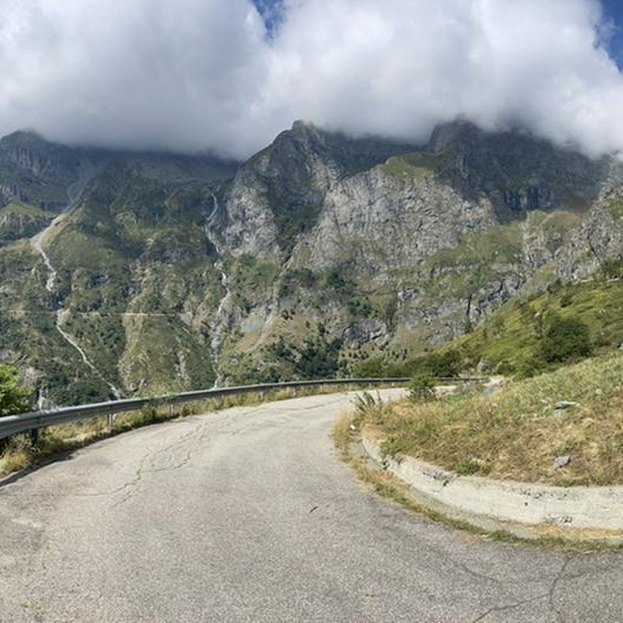

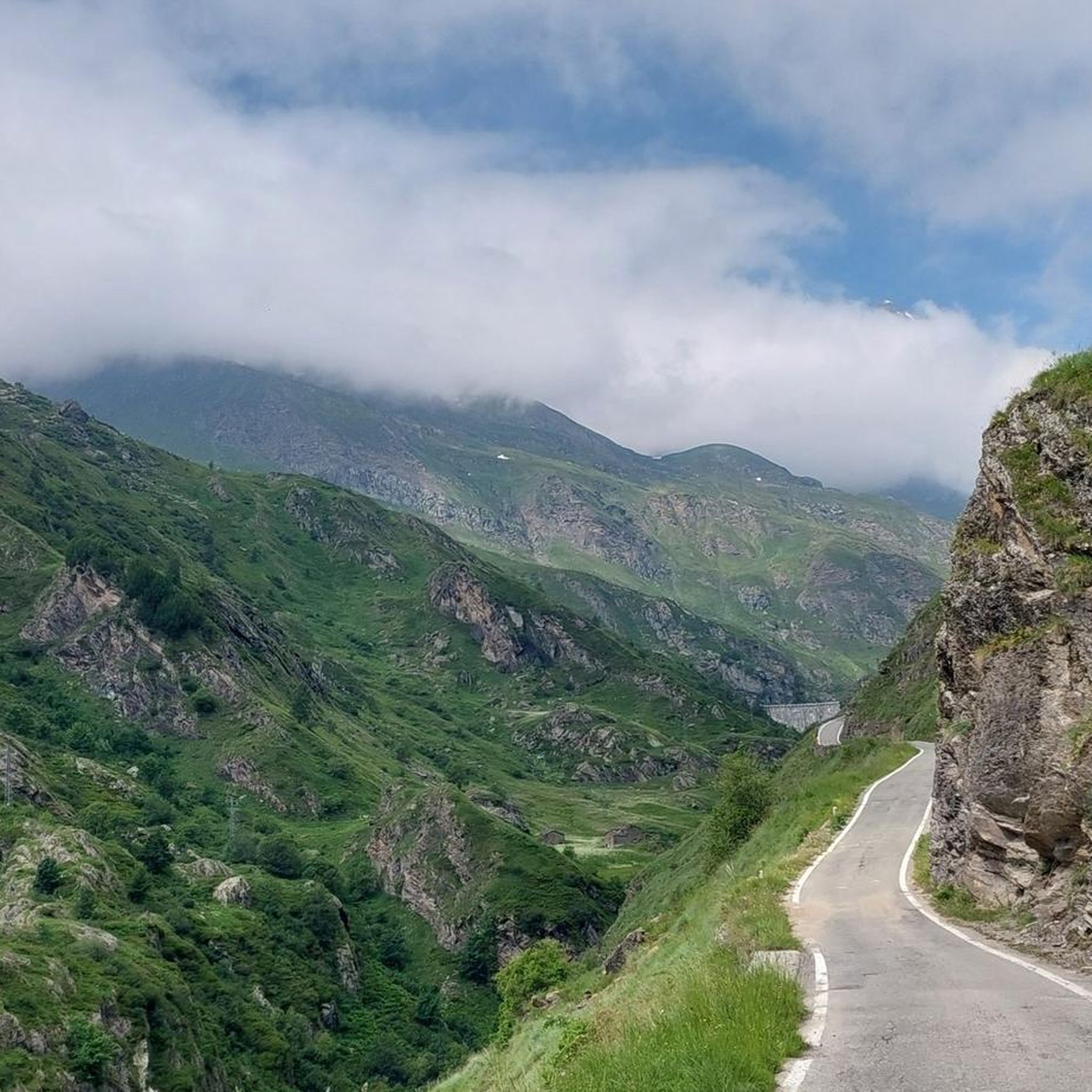
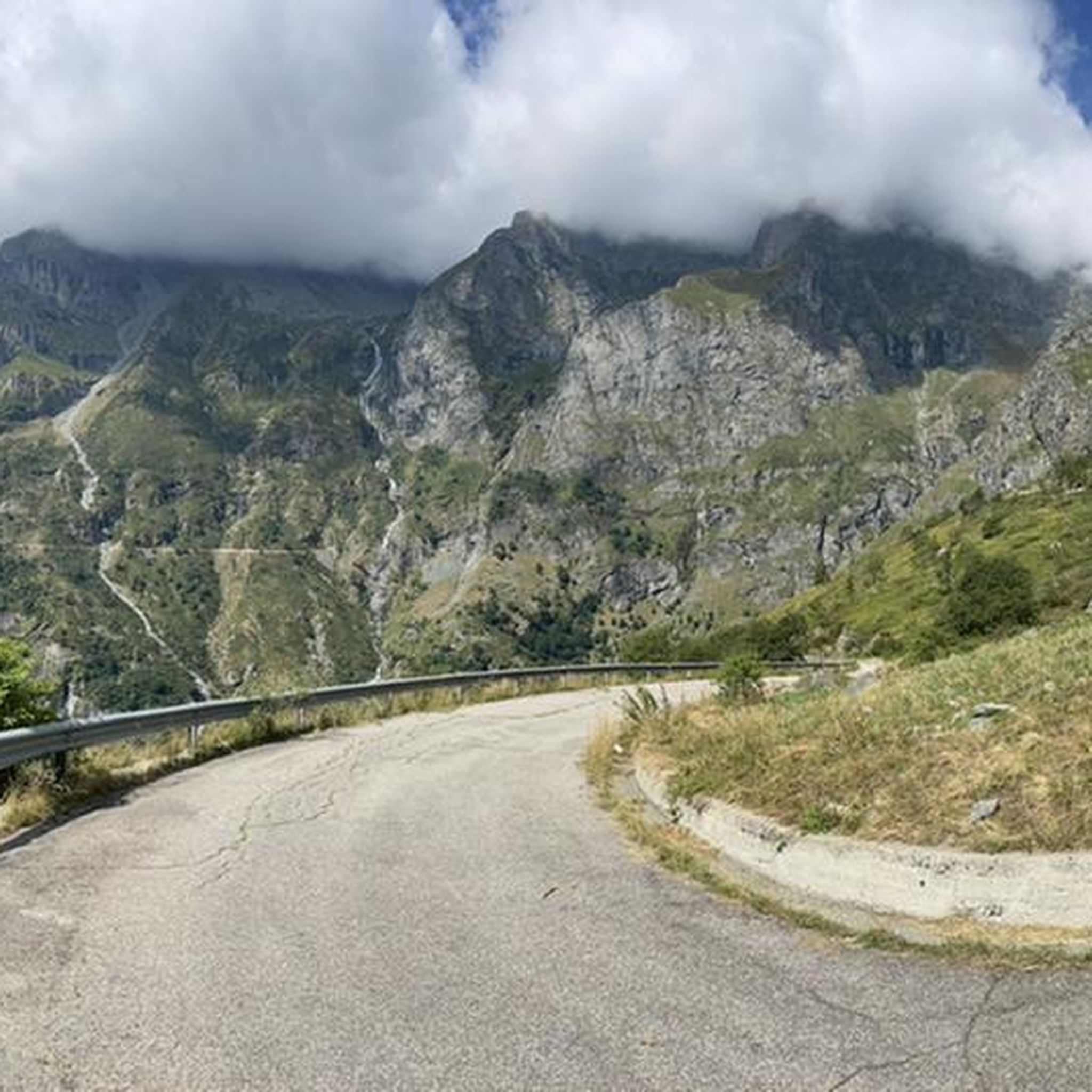

Other adventures around Usseglio

Tips from the Community

Colle Croce di Ferro is an Alpine pass in the Graian Alps that connects the Susa Valley with the Viù Valley. Administratively, it marks the border between the municipalities of Bussoleno and Usseglio.
0
0

An excellent wooden bridge allows us to easily cross the stream, and stop to admire the view of the valley.
0
0

Be careful of the marked "Rope section", the passage is very slippery and located on a very dangerous overhanging wall. When I passed by, the steel rope had come loose, and there was a nylon rope to replace it, the rope is not well fixed and in my opinion it is risky to trust it with your life. We passed by but I would not do it again. I do not recommend passing on this point at least until the steel rope is fixed again, safely.
2
0
The path in this area has collapsed probably due to the water/snow, we managed to cross anyway by passing over a large pile of snow still present, but once it has melted it will be necessary to cross the stream, be careful it is slippery.
0
0

Malciaussia never disappoints, for those who can better avoid the trip on weekends
0
0

You can easily get here in the direction of the Cibrario refuge, 1200 m of altitude difference
0
0
Difficult excursion with 20164 m of altitude difference in the day remains heavy with 30 km between there and back
0
0
Long excursion, starting from Margone and arriving at the Cibrario refuge with 1200 m of altitude difference, difficult but fairly smooth path. Then we continue from the refuge, we climb a fairly steep and delicate climb for a first stretch, immediately after there is a beautiful natural lake and from there the climb begins up to the hill, from the hill there are signs, a scree begins that gradually becomes very tiring and dangerous as you climb because the stones crumble, with a little attention you reach the summit with great difficulty but the view is truly beautiful. Excursion suitable for those who already have a lot of experience.
0
0
Frequently Asked Questions
How many hiking trails are available around Usseglio?
Usseglio offers a wide selection of hiking opportunities, with over 60 marked trails. These routes cater to various skill levels, from leisurely walks to challenging alpine ascents.
What kind of terrain and difficulty levels can I expect on Usseglio's hiking trails?
The trails around Usseglio feature a diverse alpine environment. You'll find paths ranging from easy, accessible routes to demanding multi-day treks. Approximately 4 of the trails are considered easy, 31 are moderate, and 27 are difficult, often involving significant elevation gains and sometimes rope-assisted sections. The region is characterized by high mountains, artificial lakes, and clear streams.
Are there any family-friendly or easy hikes suitable for strollers around Usseglio?
While many trails in Usseglio are alpine and challenging, there are some easier paths suitable for families. For specific routes that might accommodate strollers, it's best to check individual trail descriptions for terrain details. Generally, the region's diverse trails include options for less strenuous walks.
Are there any dog-friendly trails in Usseglio, and what are the rules?
Many trails in Usseglio are suitable for hiking with dogs, allowing you to explore the beautiful alpine scenery together. While specific rules can vary, it's generally recommended to keep dogs on a leash, especially in areas with livestock or wildlife, and to always clean up after them. Always check local signage for any specific restrictions.
What natural attractions or landmarks can I see along the hiking trails?
Usseglio's trails lead to several stunning natural attractions. You can visit picturesque bodies of water like Lake Malciaussia, Lago Grande, or the Lake della Rossa, the highest artificial basin in Piedmont. Hikers can also encounter the dramatic Foresto Gorge or even the Pera Furà Millstone Cave. For those seeking panoramic views, the Rocciamelone Summit offers a challenging ascent.
Are there any hikes that feature waterfalls in the Usseglio area?
Yes, the region boasts crystal-clear waterways, including the Stura stream, known as 'La Chiara.' You can explore routes like the Cascata del Rio Bellacomba Trail (via Route 111B), which follows rushing streams to beautiful waterfalls carved by centuries of flowing water.
Are there any circular hiking routes around Usseglio?
Yes, Usseglio offers several circular routes for hikers. An example is the Rifugio Tazzetti and Punta di Pietramorta Loop, which is a demanding 8.8-mile (14.2 km) path that includes a mountain hut and a peak, offering a comprehensive alpine experience.
What is the best time of year to go hiking in Usseglio?
The best time to hike in Usseglio is typically during the warmer months, from late spring to early autumn (June to September), when the alpine passes are generally clear of snow and the weather is more stable. This period allows access to the full range of trails, from high mountain environments to scenic lake paths. Always check current weather and trail conditions before heading out.
Is public transport available to reach Usseglio or specific trailheads?
Usseglio is nestled in Italy's Valle di Viù. While public transport options exist to reach the general area, direct access to all trailheads, especially those in higher alpine regions like Lake Malciaussia, might be limited. It's advisable to research local bus routes or consider personal transport for maximum flexibility when planning your hikes.
Where can I find parking for hiking trails in Usseglio?
Parking is generally available in Usseglio village and at various starting points for popular trails. For specific trailheads, such as those leading to Lago di Malciaussia or other high-altitude routes, designated parking areas are often provided. Some parking might be paid, especially during peak season, so it's good to carry some change or check for payment options.
What do other hikers enjoy the most about hiking in Usseglio?
The hiking routes in Usseglio are highly rated by the komoot community, with an average score of 4.4 stars from over 500 reviews. Hikers frequently praise the dramatic alpine scenery, the variety of trails catering to different skill levels, and the presence of stunning natural features like the turquoise waters of Lago di Malciaussia and majestic mountain passes.
Are there any challenging multi-day routes in Usseglio?
Yes, Usseglio offers demanding multi-day routes for experienced hikers. Some trails require good fitness, sure-footedness, sturdy shoes, and alpine experience, with sections that can take over five hours to complete and significant elevation gains. An example of a challenging route is the Via Alpina Blue D32: From Usseglio to Rifugio Riposa, a 12.4-mile (20.0 km) difficult trail.
Can I hike to high mountain passes with panoramic views?
Absolutely. The region is characterized by high mountain environments with peaks surpassing 3000 meters. Key passes like Colle della Croce di Ferro Trail (GTA/114) connect the Susa Valley with the Viù Valley and offer stunning vistas. These routes provide classic alpine experiences with breathtaking panoramic views.
Most popular routes around Usseglio
Most popular attractions around Usseglio

Get inspired with the komoot mobile app


Explore more
Browse the best Hikes in other regions.
