The best mountain hikes around Claviere
4.5
(6)
105
hikers
10
hikes
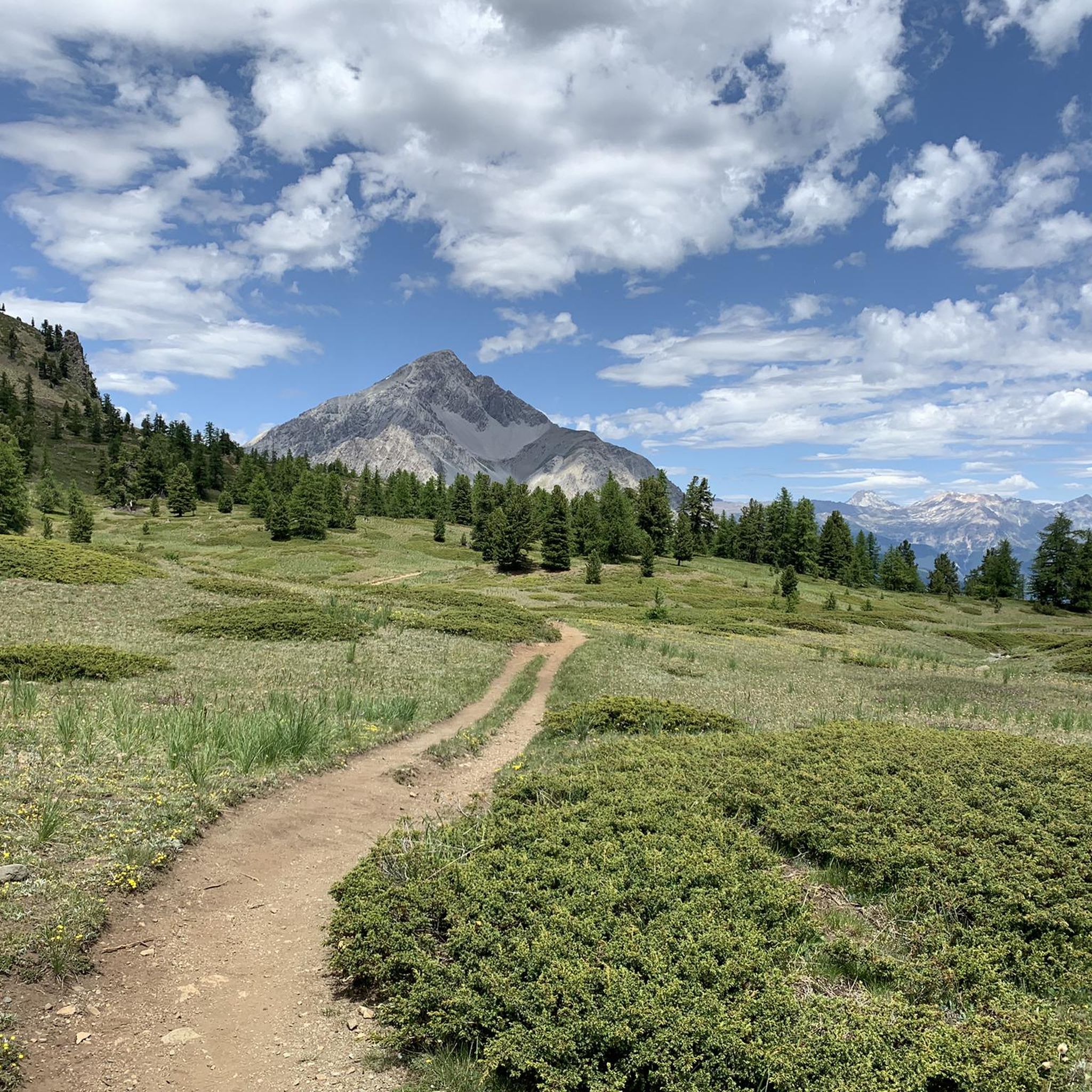
Mountaineering around Claviere is characterized by its location within the Cottian Alps, offering diverse landscapes and challenging peaks. The region features prominent mountains like Mount Chaberton (3,131m), glacial lakes such as Lago Nero and the Lake of the 7 Colours, and dense forests of pines and larches. Mountaineers can also explore the dramatic San Gervasio Gorges, which include suspended paths. This varied terrain provides a range of ascents and technical routes.
Best mountaineering routes around Claviere
- The most popular mountaineering…
Last updated: August 16, 2026
4.0
(1)
30
hikers
6.22km
03:18
410m
410m
Hard mountaineering route. Good fitness required. Sure-footedness, sturdy shoes and alpine experience required.
17
hikers
16.0km
06:14
840m
840m
Hard mountaineering route. Very good fitness required. Mostly accessible paths. Sure-footedness required.

Sign up for free
5.0
(1)
11
hikers
19.4km
07:22
1,080m
1,080m
Hard mountaineering route. Very good fitness required. Mostly accessible paths. Sure-footedness required.
12
hikers
5.90km
02:56
510m
510m
Hard mountaineering route. Good fitness required. Sure-footedness, sturdy shoes and alpine experience required.
9
hikers
13.6km
06:37
1,210m
1,210m
Hard mountaineering route. Very good fitness required. Mostly accessible paths. Sure-footedness required.
Get access to more routes and recommendations from other explorers.
Sign up for free
Already have an account?
Our route recommendations are based on thousands of hikes, rides, and runs completed by other people on komoot.
Start today with a free account
Your next adventure awaits.
Login or Signup

Other adventures around Claviere

Tips from the Community

There are 2 paths to reach the high battery, a mule track with numerous hairpin bends that passes the low battery, and another with steeper sections. Since 2026, the main structure of the high battery has been transformed into the cozy Chaberton bivouac, a name given not by chance as we are at the foot of this mountain
0
0

It's the first thing you notice, even from afar, when you arrive at Monginevro
0
1

From the summit at 3,024 meters, you have a fantastic view of many high mountains and glaciers. It's a remote and pristine landscape that is truly impressive.
0
0

Entrance to the village of Monginevro from the Italian side. Note the Napoleonic obelisk and a statue of three soldiers supporting a ski-jumping officer (surreal).
0
0

Hotel with typical mountain features.
19
0

as soon as you arrive at the high battery you will see a semi-ruined building...go in and admire the 224 steps that lead you directly to the highest point of the battery...bring a small torch
0
0
Many paths that can be covered on foot or by mountain bike start from Monginevro and in winter you can practice cross-country skiing and alpine skiing.
0
0
It can be reached starting from Thures with a simple walk suitable for everyone
0
0
Frequently Asked Questions
What kind of terrain can I expect on mountaineering routes near Claviere?
Mountaineering around Claviere offers a diverse range of terrain within the Cottian Alps. You'll encounter challenging peaks like Mount Chaberton, stunning glacial lakes such as Lago Nero and the Lake of the 7 Colours, and dense forests of pines and larches. Some routes also feature dramatic landscapes like the San Gervasio Gorges, which include suspended paths and via ferratas. The region is known for its high mountain landscapes, exposed rock, and historical military settlements.
Are there any beginner-friendly mountaineering routes in Claviere?
While many routes around Claviere are considered difficult, there are some moderate options available. For example, the Cima Saurel / Cime de Saurel – Baita Gimont loop from Claviere is a moderate route that takes you through beautiful alpine scenery. It's always recommended to check the specific route details and your fitness level before heading out.
What are some notable landmarks or natural features I can see along the mountaineering routes?
The routes around Claviere are rich in natural beauty and historical significance. You can explore the ruins of the Mont Chaberton Fort, known as the 'Fort of the Clouds,' on routes like the Fort de la Turra – Col du Chaberton loop. Other highlights include the crystal-clear waters of Lac Gignoux (Lake of Seven Colours), Lago Nero, and the impressive Tibetan Bridge in the San Gervasio Gorges.
When is the best time of year for mountaineering in Claviere?
The summer months, typically from June to September, offer the most favorable conditions for mountaineering in Claviere, with accessible routes and generally stable weather. However, the region also offers ski mountaineering and snowshoeing in winter, transforming into a snowy paradise for those seeking different challenges. Always check local weather forecasts and conditions before your trip.
Are there any circular mountaineering routes available?
Yes, several mountaineering routes around Claviere are designed as loops, allowing you to start and end in the same location. Popular circular options include the Fort de la Turra – Col du Chaberton loop from Claviere, the Bassin de Montgenèvre – Grand Charvia / Monte Gimont loop from Claviere, and the Cima Saurel / Cime de Saurel – Baita Gimont loop from Claviere.
What do other mountaineers say about the routes in Claviere?
The mountaineering routes around Claviere are highly regarded by the komoot community, with an average rating of 4.5 stars from over 20 reviews. Mountaineers often praise the challenging ascents, the stunning panoramic views from peaks like Mount Chaberton, and the unique blend of natural beauty with historical sites like military forts.
Are there any options for family-friendly hikes that are less demanding than full mountaineering?
While the focus here is on mountaineering, Claviere and its surroundings offer a multitude of hiking and trekking paths suitable for families. These range from relaxing walks along valley floors to more demanding high-altitude excursions that don't require technical mountaineering skills. Trails along the Rio Secco, Piccola Dora, and Rio Gimont mountain streams are good starting points for exploring local flora and fauna.
Can I find places to eat or stay near the mountaineering trailheads?
Claviere itself is a village with accommodation options and cafes. Additionally, you might find mountain huts (rifugi) along some routes, such as the Capanna Mautino Mountain Hut near Lago Nero, which can offer refreshments or overnight stays. It's advisable to check opening times and availability, especially outside peak season.
Is public transport available to reach mountaineering trailheads from Claviere?
Claviere is situated on the Italian-French border in the Susa Valley. While specific public transport links directly to all trailheads might be limited, the village itself is generally accessible. For reaching more remote starting points, local taxi services or private transport might be necessary. It's best to research specific route access before your trip.
Do I need any special permits for mountaineering in the Claviere area, especially for Mount Chaberton?
Generally, for hiking and mountaineering on established trails in the Claviere area, including Mount Chaberton, specific permits are not typically required for access. However, if you plan to engage in activities like via ferratas, you might need to rent safety equipment. Always respect local regulations, especially concerning protected areas or private land. For guided experiences, certified IFMGA-UIAGM mountain guides are available in Claviere.
Are there any opportunities for wild swimming near the mountaineering routes?
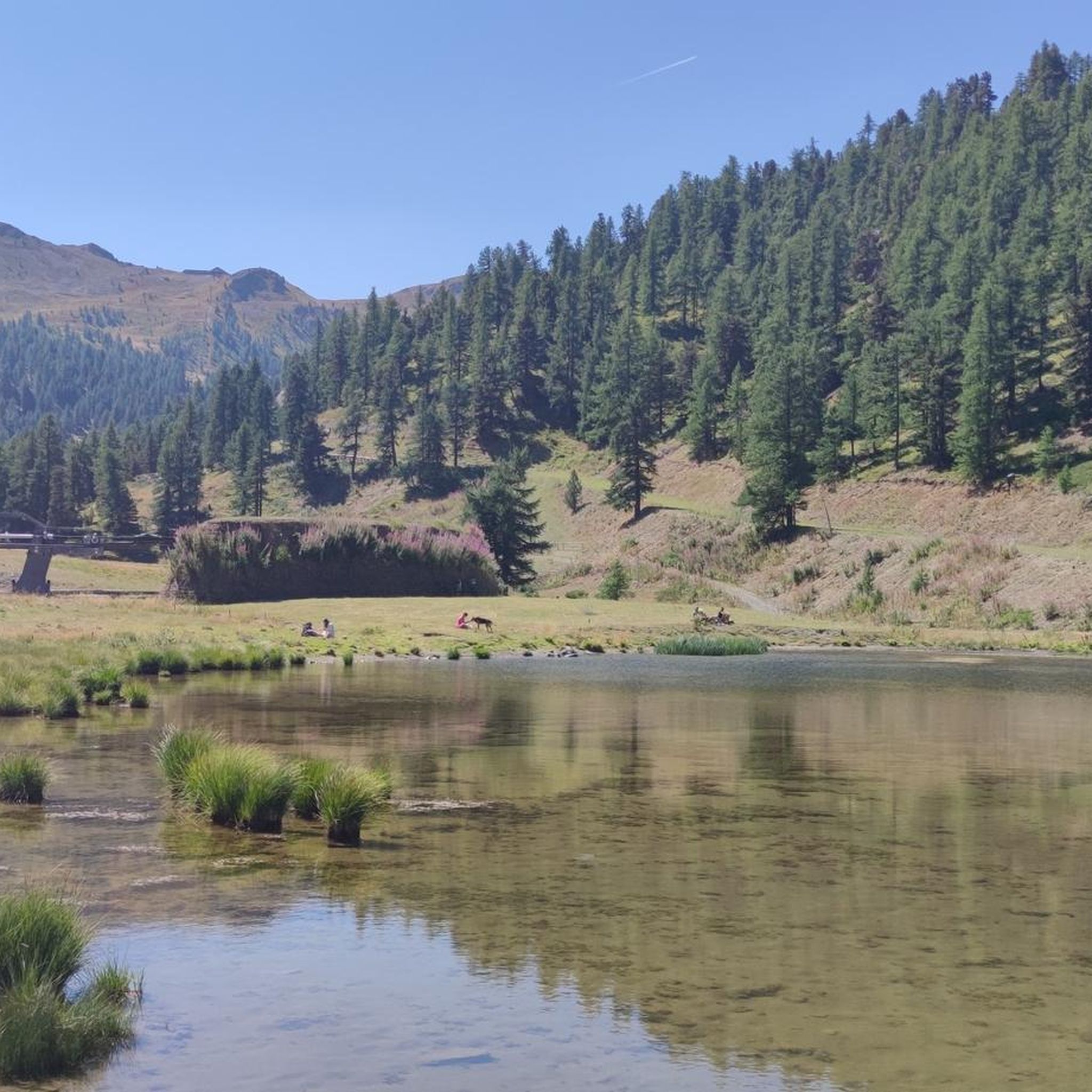
The region boasts several beautiful glacial lakes, such as Lago Nero and the Lake of the 7 Colours (Lago Gignoux), known for their crystal-clear waters. While these offer stunning views and a refreshing atmosphere, always exercise caution and check local regulations regarding swimming in natural bodies of water, as temperatures can be very cold and conditions vary.
What is the longest mountaineering route around Claviere?
Among the listed routes, the Monte Giassiez loop from Thures is one of the longer options, covering approximately 19.3 kilometers (12 miles) and typically taking around 7 hours 20 minutes to complete. This difficult route involves significant elevation gain and offers a comprehensive experience of the alpine landscape.
Most popular attractions around Claviere

Get inspired with the komoot mobile app


Explore more
Browse the best Mountain Hikes & Routes in other regions.
