The best walks and hikes around San Francesco Al Campo
4.4
(306)
2,088
hikers
175
hikes
Hiking around San Francesco Al Campo offers diverse natural landscapes within Italy's Piedmont region. The area is situated at the edge of the Vauda plateau, bordering the Vauda Nature Reserve, which is recognized for its unique ecological habitat. Trails often feature views of the Stura River, including small waterfalls, and provide access to the rural Piedmontese landscape. Proximity to La Mandria Park, a UNESCO World Heritage Site, further expands options for exploring woods and historic grounds.
Best hiking trails around…
Last updated: July 1, 2026
5.0
(4)
16
hikers
Moderate hike. Good fitness required. Easily-accessible paths. Suitable for all skill levels.
9
hikers
6.32km
01:39
50m
50m
Easy hike. Great for any fitness level. Easily-accessible paths. Suitable for all skill levels.

Sign up for free
5
hikers
Moderate hike. Good fitness required. Easily-accessible paths. Suitable for all skill levels.
4.0
(1)
6
hikers
11.7km
02:59
40m
40m
Moderate hike. Good fitness required. Easily-accessible paths. Suitable for all skill levels.
1
hikers
5.99km
01:32
30m
30m
Easy hike. Great for any fitness level. Easily-accessible paths. Suitable for all skill levels.
Get access to more routes and recommendations from other explorers.
Sign up for free
Already have an account?
Our route recommendations are based on thousands of hikes, rides, and runs completed by other people on komoot.
Start today with a free account
Your next adventure awaits.
Login or Signup

Tips from the Community

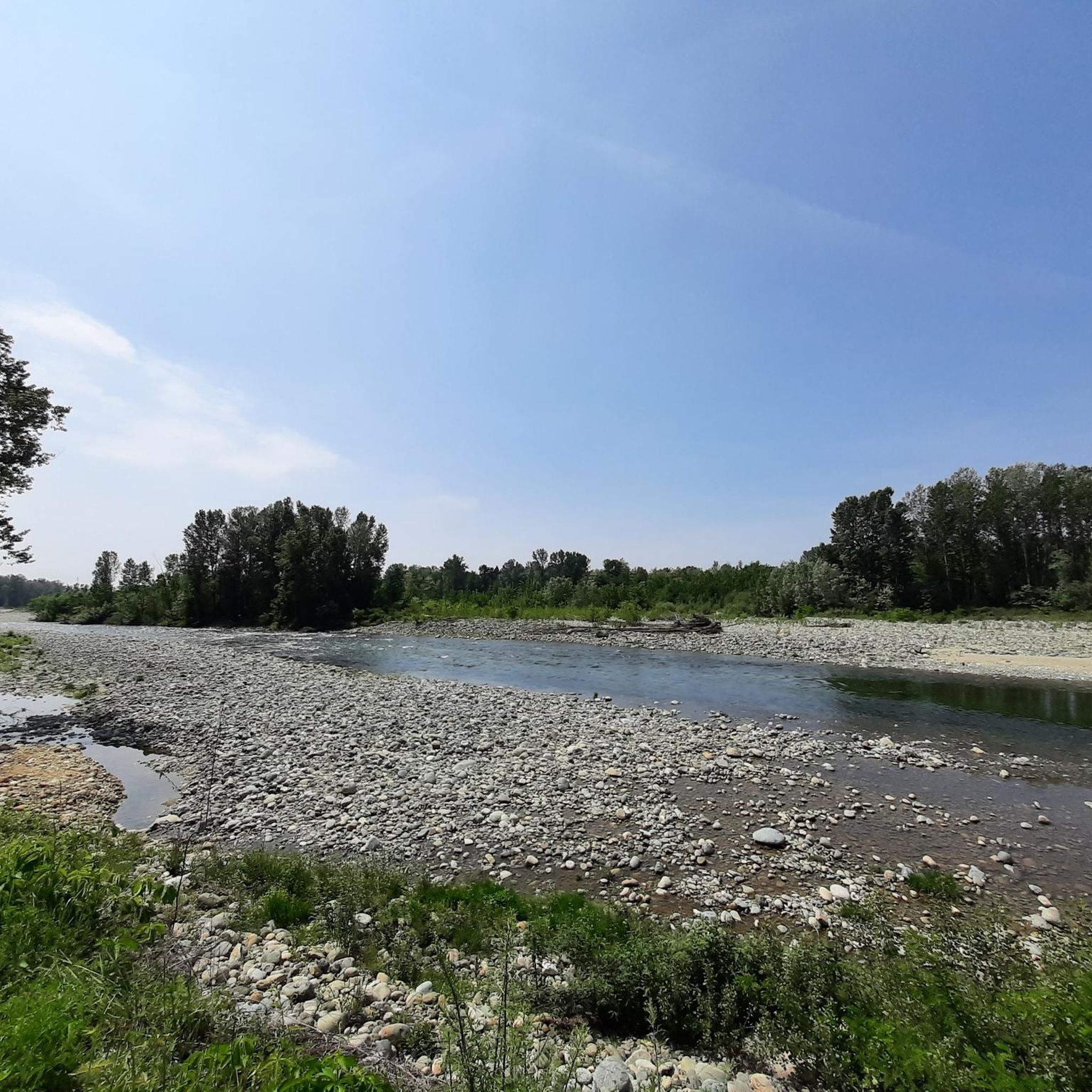
Bridge over the Stura di Lanzo with a view of the river
0
0

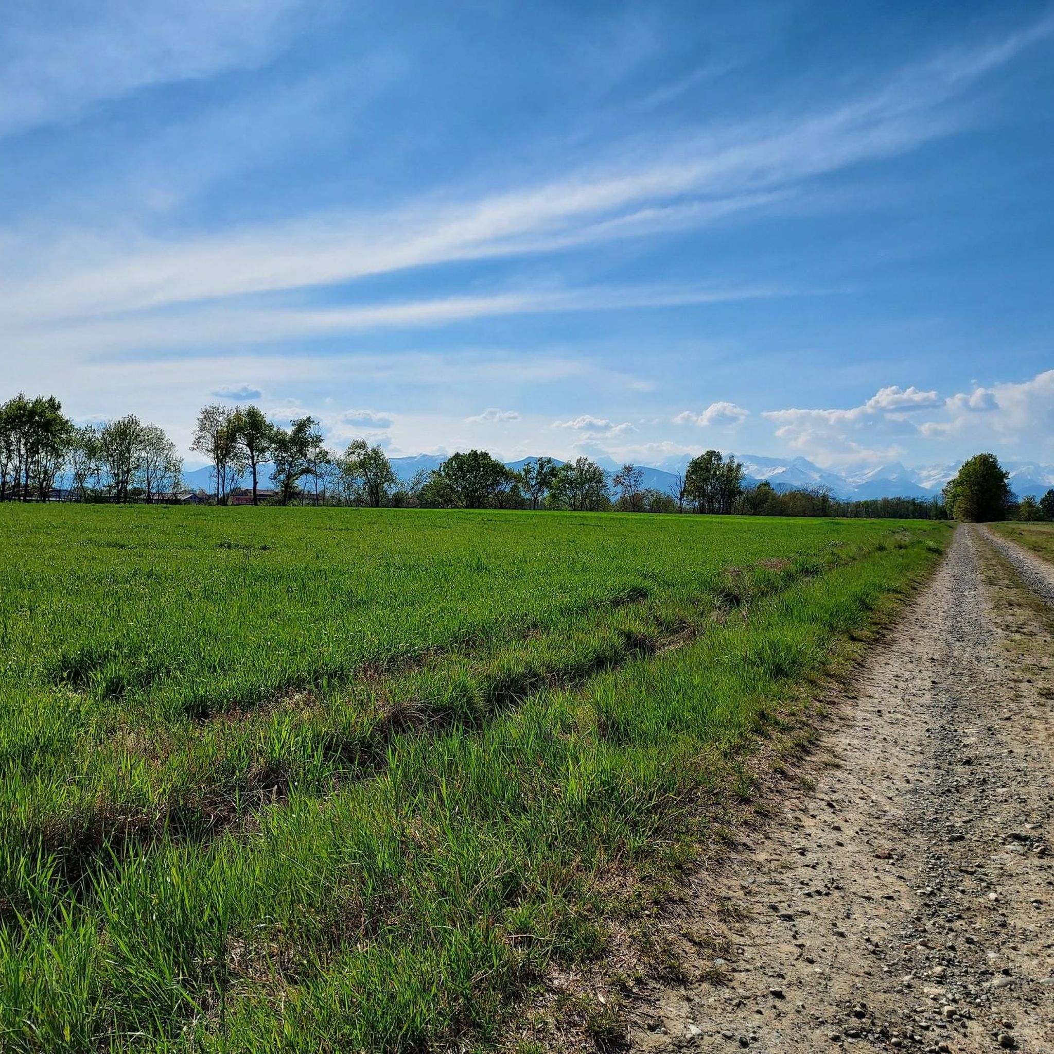
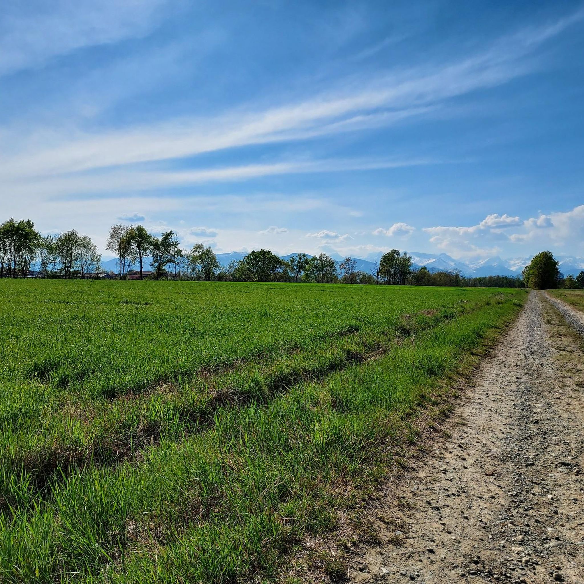
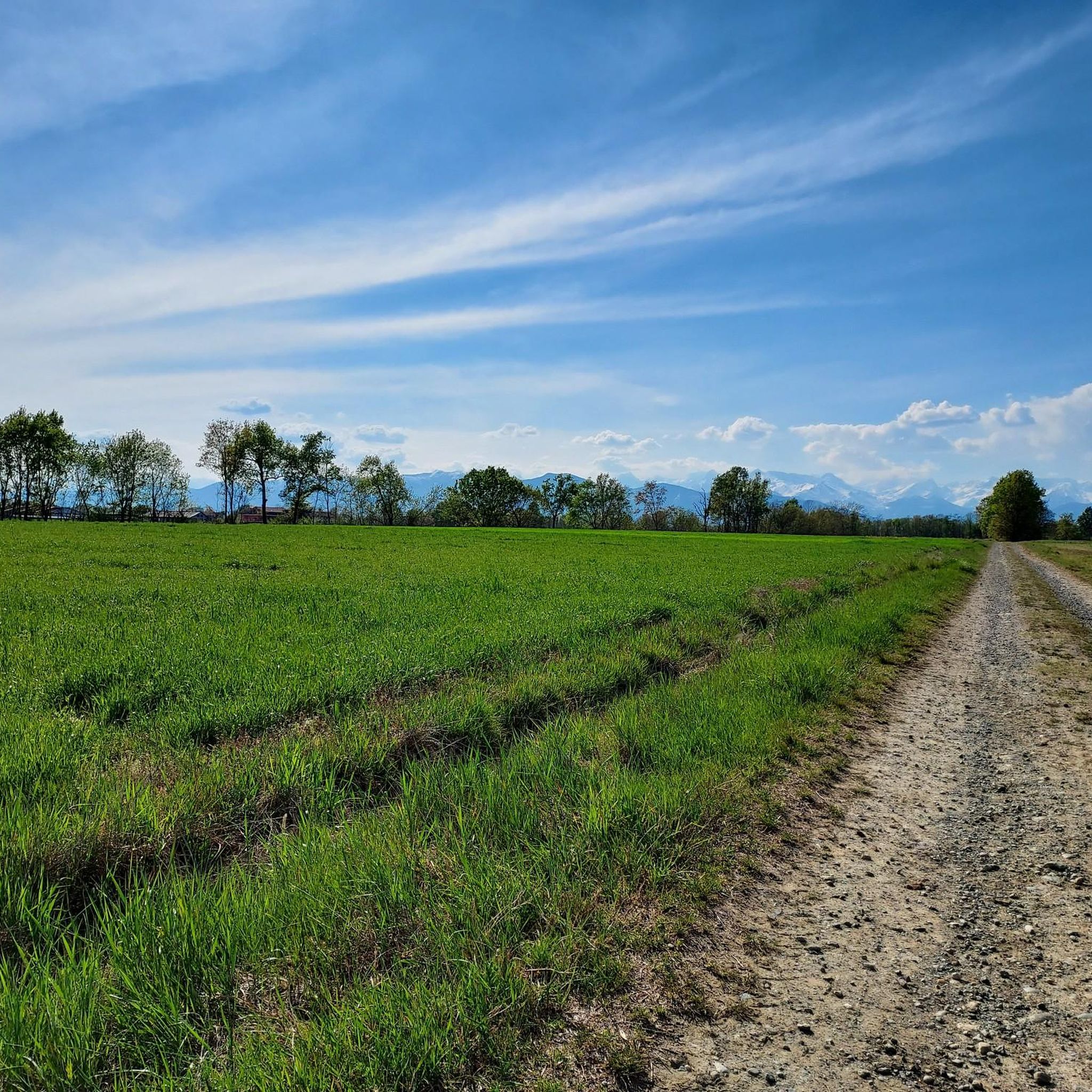
Point where the cycle path is just along the Stura, with a nice open view to enjoy the river and the mountains behind it
0
0

clean, easy and not tiring path, ideal for a leisurely walk
1
0

South of Nole, not far from Ciriè, the sanctuary of San Vito stands in the countryside. Although it is not entirely clear when and how this building was made what it is today, after having been a simple votive shrine, today the sanctuary can be visited every weekend. On the official website you can find out more about this religious place: http://www.sanvitonole.it.
0
1

Borgata Spinerano, 8, 10070 San Carlo Canavese TO
0
0
Sedime locality
0
0

The Stura is one of the few watercourses in the Piedmont plain to have preserved a bed in its natural state
1
0

The departure, or passage, from Villanova these days allows you to witness the extraordinary energy of the two jumps of the stream near the bridge itself.
0
0
Frequently Asked Questions
How many hiking trails are available around San Francesco Al Campo?
There are over 150 hiking routes around San Francesco Al Campo, offering a wide range of options for different skill levels and preferences. These include paths through the Vauda plateau, along the Stura River, and within the rural Piedmontese landscape.
What are the typical difficulty levels of hikes in this area?
The trails around San Francesco Al Campo cater to various fitness levels. You'll find a good mix of options, with approximately 73 easy routes, 75 moderate routes, and a few more challenging paths for experienced hikers. This ensures both casual walkers and more seasoned adventurers can find suitable trails.
Are there any trails that feature waterfalls?
Yes, several trails offer scenic views of the Stura River, including small waterfalls. For example, the View of the Stura River – Small waterfall on the Stura stream loop from Ciriè is a moderate route specifically known for its riverine scenery and waterfalls.
What natural features can I expect to see while hiking?
Hikers can explore diverse natural features, including the unique ecological habitat of the Vauda Nature Reserve, the picturesque Stura River with its small waterfalls, and the rural Piedmontese landscape. The area is also influenced by the Torrents Banna and Fisca, adding to the natural environment.
Are there historical sites or landmarks accessible from the hiking trails?
Absolutely. San Francesco Al Campo is close to significant historical sites. You can access La Mandria Park via the Ponte Verde entrance, which is home to the historic Castello della Mandria, a former Savoy hunting residence and a UNESCO World Heritage Site. Other nearby attractions include the magnificent Reggia di Venaria Reale and the unique Shrine of the Carved Tree Trunk in Rossignoli.
Are there family-friendly hiking options in San Francesco Al Campo?
Yes, many routes are easily accessible and suitable for all ages, making them ideal for families. An easy option is the Hiking loop from San Maurizio Canavese, which offers a pleasant walk without significant elevation gain.
Can I bring my dog on the hiking trails?
While specific regulations can vary by trail and protected areas, many trails in the rural Piedmontese landscape are generally dog-friendly. It's always recommended to keep dogs on a leash, especially in nature reserves like the Vauda, and to clean up after them to preserve the natural environment for everyone.
Are there circular hiking routes available?
Yes, many of the trails around San Francesco Al Campo are designed as loops, offering convenient circular routes. Examples include the Corona Verde Tunnel – View of the Stura River loop from Ciriè and the View of the Stura River loop from Ciriè, allowing you to start and end at the same point.
What kind of terrain should I expect on the trails?
The terrain is varied, ranging from flat paths across the Vauda plateau and through the Vauda Nature Reserve to riverine landscapes along the Stura River. You'll encounter rural Piedmontese landscapes, and some paths, like the "Via Verde canavesana," are dirt roads suitable for walking and cycling.
What do other hikers say about the trails in San Francesco Al Campo?
The hiking routes in San Francesco Al Campo are highly regarded by the komoot community, holding an average rating of 4.4 stars from over 280 reviews. Hikers often praise the diverse natural landscapes, the scenic views of the Stura River, and the accessibility of the trails for various skill levels.
Is there parking available at the trailheads?
Parking facilities are generally available in the towns and villages near the trailheads, such as Ciriè and San Maurizio Canavese. For specific routes, it's advisable to check the individual tour details on komoot for precise parking information.
What is the best time of year to go hiking in San Francesco Al Campo?
The region offers pleasant hiking conditions for much of the year. Spring and autumn are particularly ideal, with mild temperatures and vibrant natural colors. Summer can also be enjoyable, especially for early morning or late afternoon hikes to avoid the midday heat. Winter hikes are possible, though some paths might be less accessible depending on weather conditions.
Are there any easy hikes suitable for beginners?
Yes, there are plenty of easy hikes perfect for beginners or those looking for a relaxed stroll. The Vauda Dunes – Vauda Military Road loop from Cascina Massa is an easy 6 km route with minimal elevation gain, offering a gentle introduction to the area's natural beauty.
Most popular routes around San Francesco Al Campo
Most popular attractions around San Francesco Al Campo

Get inspired with the komoot mobile app


Explore more
Browse the best Hikes in other regions.
