The best road cycling routes around Sindelsdorf
4.5
(1489)
22,833
riders
185
rides
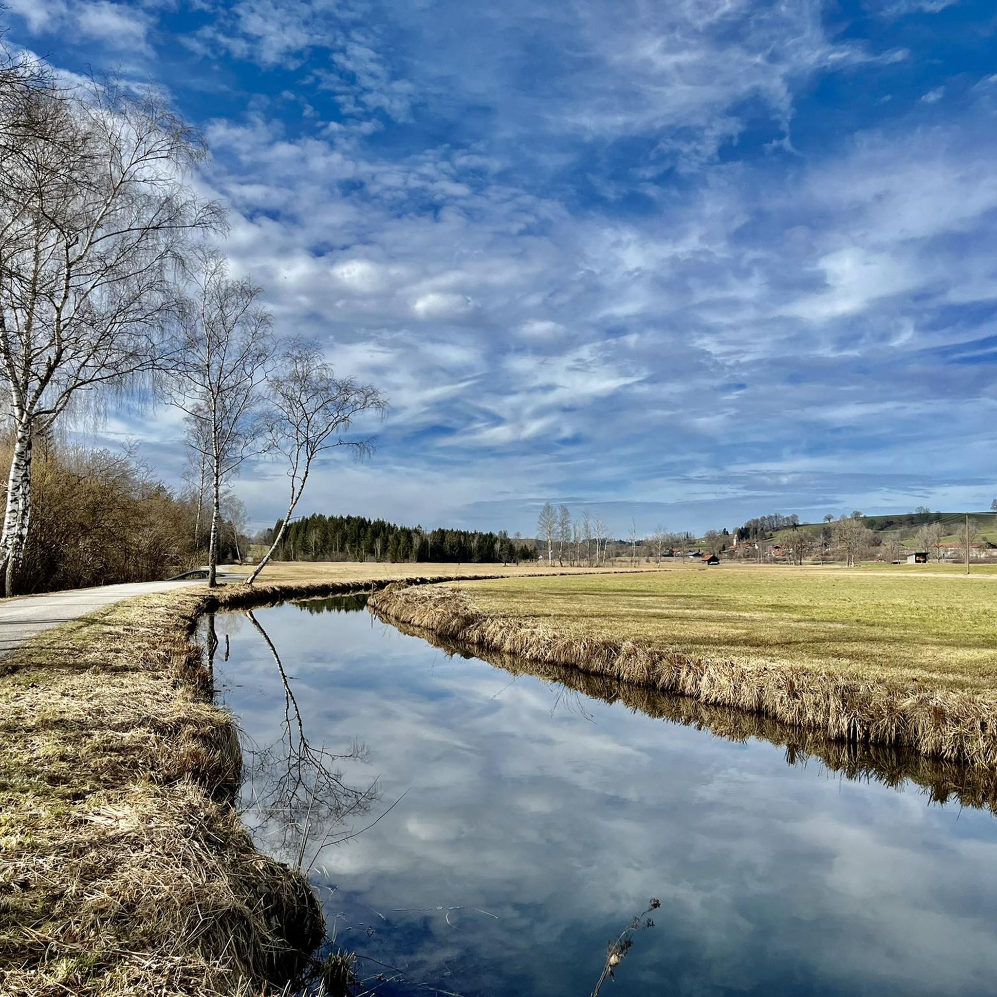
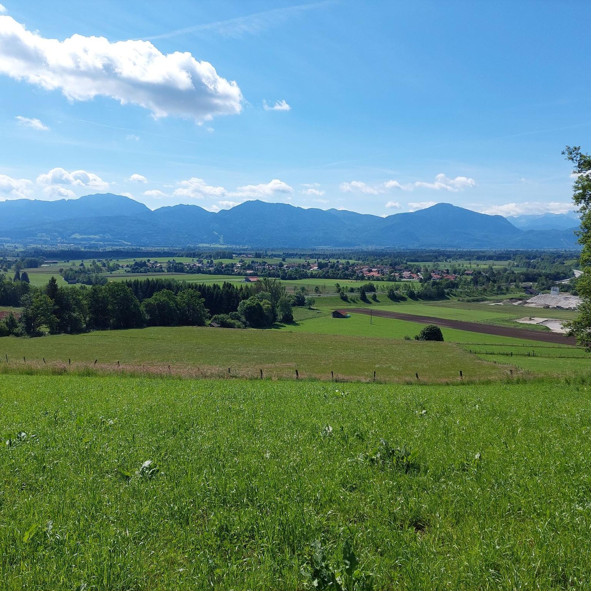
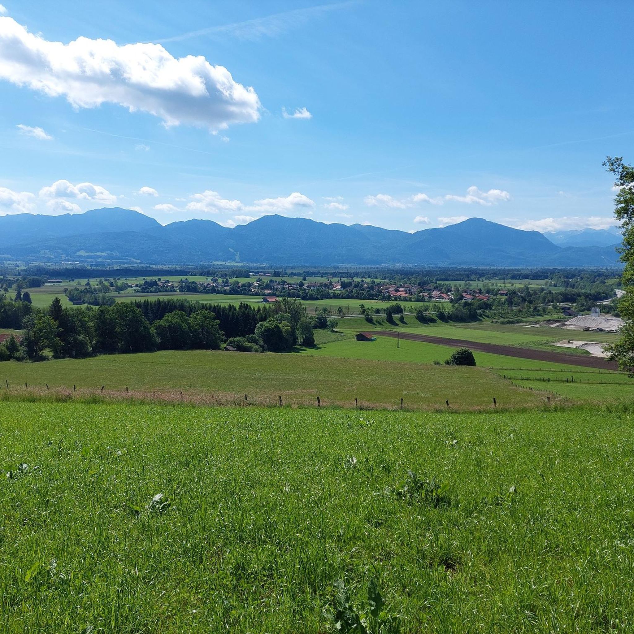
Road cycling around Sindelsdorf offers a diverse landscape characterized by rolling hills, open fields, and forested sections. The region features a network of paved roads suitable for road bikes, with varying elevation gains. Many routes follow river valleys and pass through small Bavarian villages, providing a mix of rural and cultural scenery. The terrain generally includes moderate climbs and descents, making it accessible for a range of cycling abilities.
Best road cycling routes around Sindelsdorf
- The most popular road cycling…
Last updated: October 22, 2026
4.8
(28)
488
riders
51.3km
02:05
230m
230m
Moderate road ride. Good fitness required. Mostly well-paved surfaces and easy to ride.
4.8
(16)
323
riders
61.3km
02:37
490m
490m
Moderate road ride. Good fitness required. Mostly well-paved surfaces and easy to ride.

4.7
(23)
290
riders
45.4km
02:06
370m
370m
Moderate road ride. Good fitness required. Mostly well-paved surfaces and easy to ride.
4.6
(10)
179
riders
53.0km
02:18
380m
380m
Moderate road ride. Good fitness required. Mostly well-paved surfaces and easy to ride.
4.2
(5)
104
riders
77.5km
03:15
540m
540m
Moderate road ride. Good fitness required. Mostly well-paved surfaces and easy to ride.
Get access to more routes and recommendations from other explorers.
Already have an account?
Our route recommendations are based on thousands of hikes, rides, and runs completed by other people on komoot.
Start today with a free account
Your next adventure awaits.
Tips from the Community

Definitely recommended
1
0
Beuerberg Monastery is a former Augustinian canonry and a monastery of the Sisters of the Visitation in the village of Beuerberg, a part of Eurasburg in the district of Bad Tölz-Wolfratshausen in the Archdiocese of Munich and Freising. The monastery is primarily known for its former monastery church of St. Peter and Paul, and since 2016 for changing exhibitions on monastic life. Quelle https://de.wikipedia.org/wiki/Kloster_Beuerberg
1
0
Definitely worth seeing
0
0
Frequently Asked Questions
How many road cycling routes are available around Sindelsdorf?
There are over 180 road cycling routes around Sindelsdorf, offering a wide range of options for different skill levels and preferences.
What kind of terrain can I expect on road cycling routes in Sindelsdorf?
Road cycling around Sindelsdorf features a diverse landscape of rolling hills, open fields, and forested sections. Routes often follow river valleys and pass through small Bavarian villages, providing a mix of rural and cultural scenery. The terrain generally includes moderate climbs and descents.
Are there easy or beginner-friendly road cycling routes in Sindelsdorf?
Yes, Sindelsdorf offers over 50 easy road cycling routes, making it accessible for beginners or those looking for a more relaxed ride. These routes typically have less elevation gain and are shorter in distance.
Are there challenging road cycling routes for experienced riders?
For experienced road cyclists seeking a challenge, Sindelsdorf has 17 difficult routes. These typically feature significant elevation gains and longer distances, such as the Pupplinger Au – Isar Canal at Pupplinger Au loop from Penzberg, which covers 77.5 km with over 540 meters of ascent.
Which routes offer the most scenic views?
Many routes in the region offer scenic views, particularly those passing through natural reserves. The Scenic Road in Upper Bavaria – Murnauer Moos loop from Penzberg is highly recommended for its picturesque views through the Murnauer Moos nature reserve.
What do other road cyclists say about the routes in Sindelsdorf?
The road cycling routes in Sindelsdorf are highly rated by the komoot community, with an average score of 4.6 stars from over 1,100 reviews. Cyclists often praise the varied terrain, well-maintained paved roads, and the charming Bavarian village atmosphere.
Are there any circular road cycling routes available?
Most road cycling routes around Sindelsdorf are designed as loops, allowing you to start and finish at the same point. Examples include the Benediktbeuern Abbey – Unterau–Großweil Connector loop from Penzberg and the Fürstenberg Tree-lined Road – Fürstenberg Descent loop from Penzberg.
What is the typical elevation gain on road cycling routes in Sindelsdorf?
Elevation gains vary significantly across routes. Easy routes might have less than 200 meters of ascent, while moderate routes like the Loisach-Isar Canal Bridge – Loisach Bridge loop from Penzberg can feature around 385 meters. More challenging routes can exceed 500 meters of climbing.
What can I see or visit along the road cycling routes?
Many routes pass through or near points of interest. You can find charming Bavarian villages, river valleys, and natural landscapes. For specific attractions, consider exploring nearby highlights like the Blomberghaus Mountain Inn or the Tutzinger Hut, which are popular stops in the wider region.
When is the best time of year for road cycling in Sindelsdorf?
The best time for road cycling in Sindelsdorf is typically from spring through autumn (April to October), when the weather is milder and the roads are clear. Summer offers longer daylight hours, while spring and autumn provide pleasant temperatures and beautiful scenery.
Are there any places to stop for refreshments or a break along the routes?
Many routes pass through small Bavarian villages where you can find local bakeries, cafes, or traditional Gasthäuser (inns) for refreshments. While specific stops aren't listed for every route, the presence of villages along river valleys ensures opportunities for breaks.
Most popular routes around Sindelsdorf
Most popular attractions around Sindelsdorf

Get inspired with the komoot mobile app


Explore more
Browse the best Road cycling routes in other regions.
