The best walks and hikes around Trausella
4.4
(3125)
13,442
hikers
502
hikes
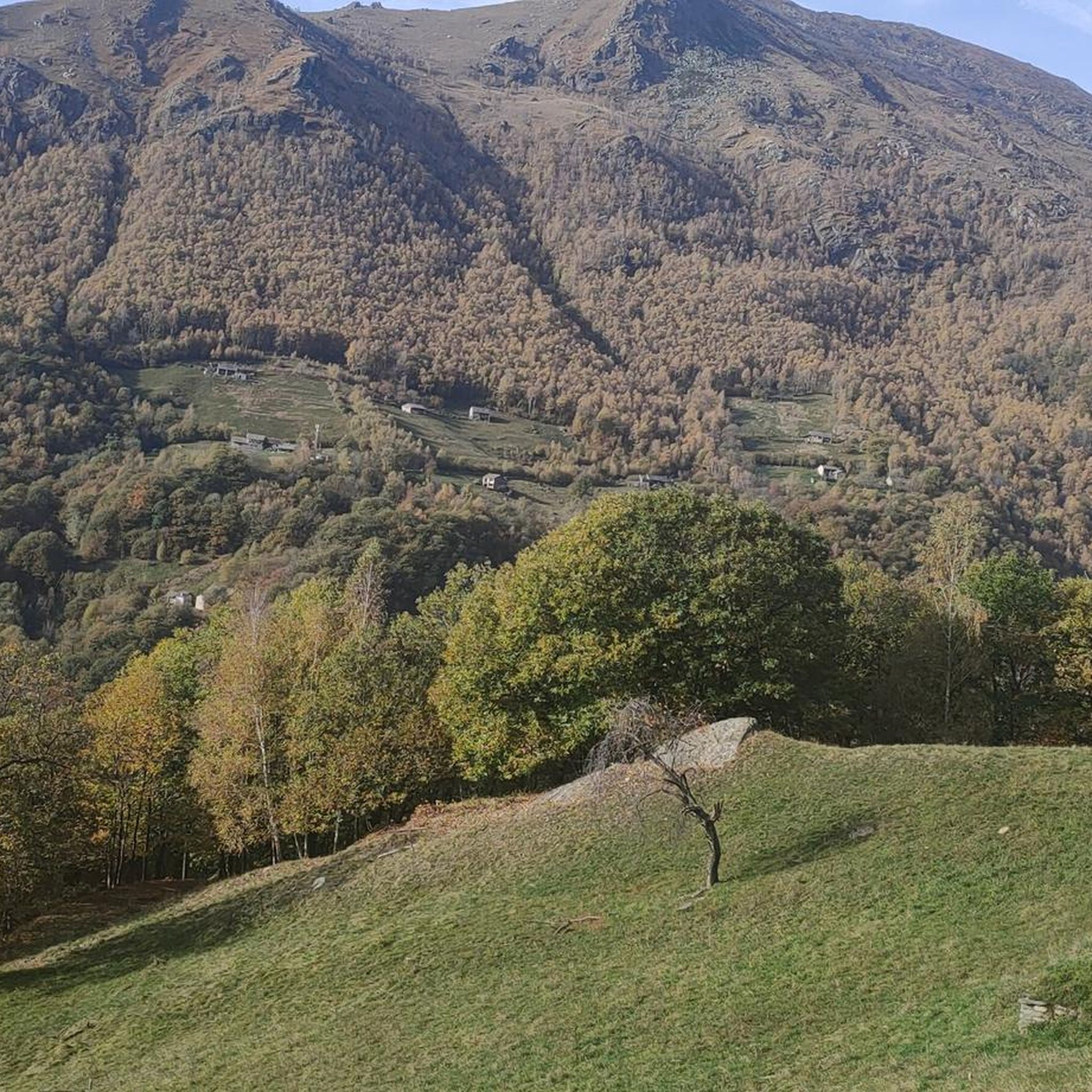
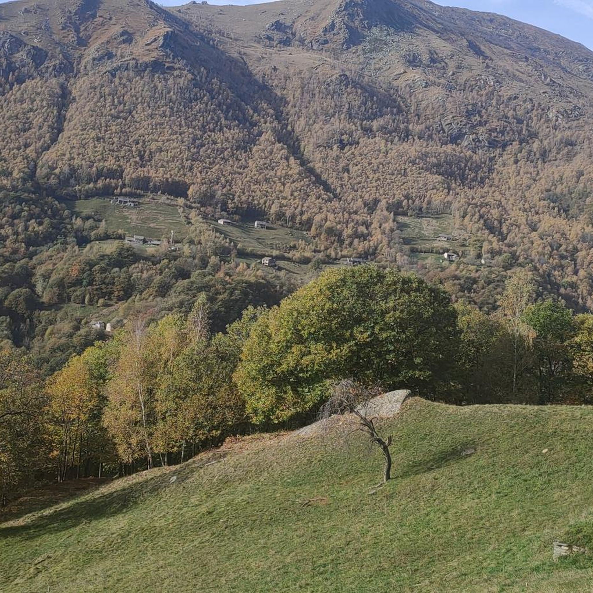
Hiking around Trausella, now part of Valchiusa in Italy's Piedmont region, offers diverse natural landscapes within the Val Chiusella. The area is characterized by mountainous terrain, including Mount Bric di Trausella and Monte Gregorio, providing elevated views. Unique geological features like the "Terre Ballerine" contribute to the region's distinct character. The Chiusella stream flows through the valley, adding to the scenic environment for outdoor activities.
Best hiking trails around Trausella
- The most popular hiking route is GTA: Fondo to Piamprato Trail, a 11.1 miles (17.9 km) trail that takes 7 hours 50 minutes to complete. This difficult route offers extensive views across the Val Chiusella.
- Another top favourite among local hikers is Trail of the Souls, a moderate 4.1 miles (6.6 km) path. This trail is notable for its ancient forest sections and prehistoric petroglyphs.
- Local hikers also love the Via dei Cantoni Trail 750 through Historic Alpine Hamlets, a 8.2 miles (13.2 km) trail leading through historic alpine hamlets, often completed in about 4 hours 31 minutes.
- Hiking around Trausella is defined by the pristine Val Chiusella, unique "Terre Ballerine" peatlands, and historical trails with archaeological interest. The network offers options for various ability levels, from moderate walks to challenging mountain ascents.
- The routes in Trausella are highly rated by the komoot community with an average score of 4.4 stars from over 2400 reviews. More than 10000 hikers have used komoot to explore Trausella's varied terrain.
Last updated: October 12, 2026
4.8
(12)
49
hikers
17.9km
07:50
1,310m
1,310m
Hard hike. Very good fitness required. Mostly accessible paths. Sure-footedness required.
4.4
(5)
33
hikers
6.59km
02:40
280m
280m
Moderate hike. Good fitness required. Mostly accessible paths. Sure-footedness required.

3.0
(2)
17
hikers
13.2km
04:31
660m
660m
Moderate hike. Good fitness required. Mostly accessible paths. Sure-footedness required.
4.5
(2)
11
hikers
13.9km
07:10
1,180m
1,180m
Hard hike. Very good fitness required. Mostly accessible paths. Sure-footedness required.
4.5
(2)
11
hikers
13.8km
06:52
1,110m
1,110m
Hard hike. Very good fitness required. Mostly accessible paths. Sure-footedness required.
Get access to more routes and recommendations from other explorers.
Already have an account?
Our route recommendations are based on thousands of hikes, rides, and runs completed by other people on komoot.
Start today with a free account
Your next adventure awaits.

Tips from the Community

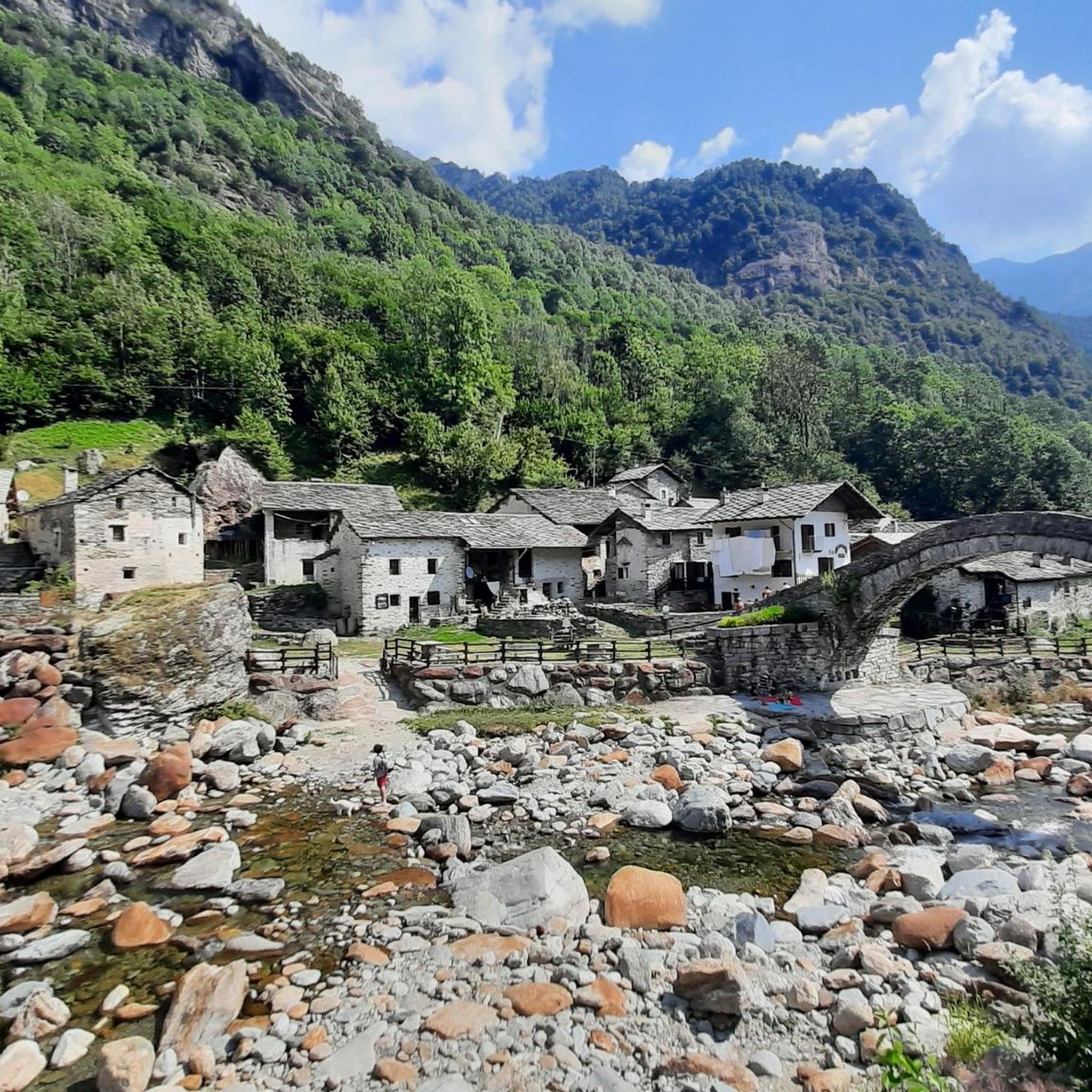
The bottom has a characteristic Devil's bridge 😈
0
0
La Via dei Cantoni is a tour suitable for everyone, very beautiful landscape
0
0

To think that this bridge is hundreds of years old and has resisted who knows how many floods of the stream. It is a beautiful structure. However, it is not Roman, I asked the restaurant managers and (if I remember correctly) it is from 1500 but it does not matter: it was built in a period in which without structural calculations they still managed to create works of inexplicable beauty...
0
0

A hamlet not far from Fondo on Via dei Cantoni. Some houses have been renovated and are habitable. From here you can admire the Fondo waterfall.
1
0
Typical Roman stone bridge near Mulino di Chiara that allows you to cross the Chiusella.
0
0

Beautiful Valchiusella Bridge, similar to the Devil's Bridge of Lanzo Torinese
1
0
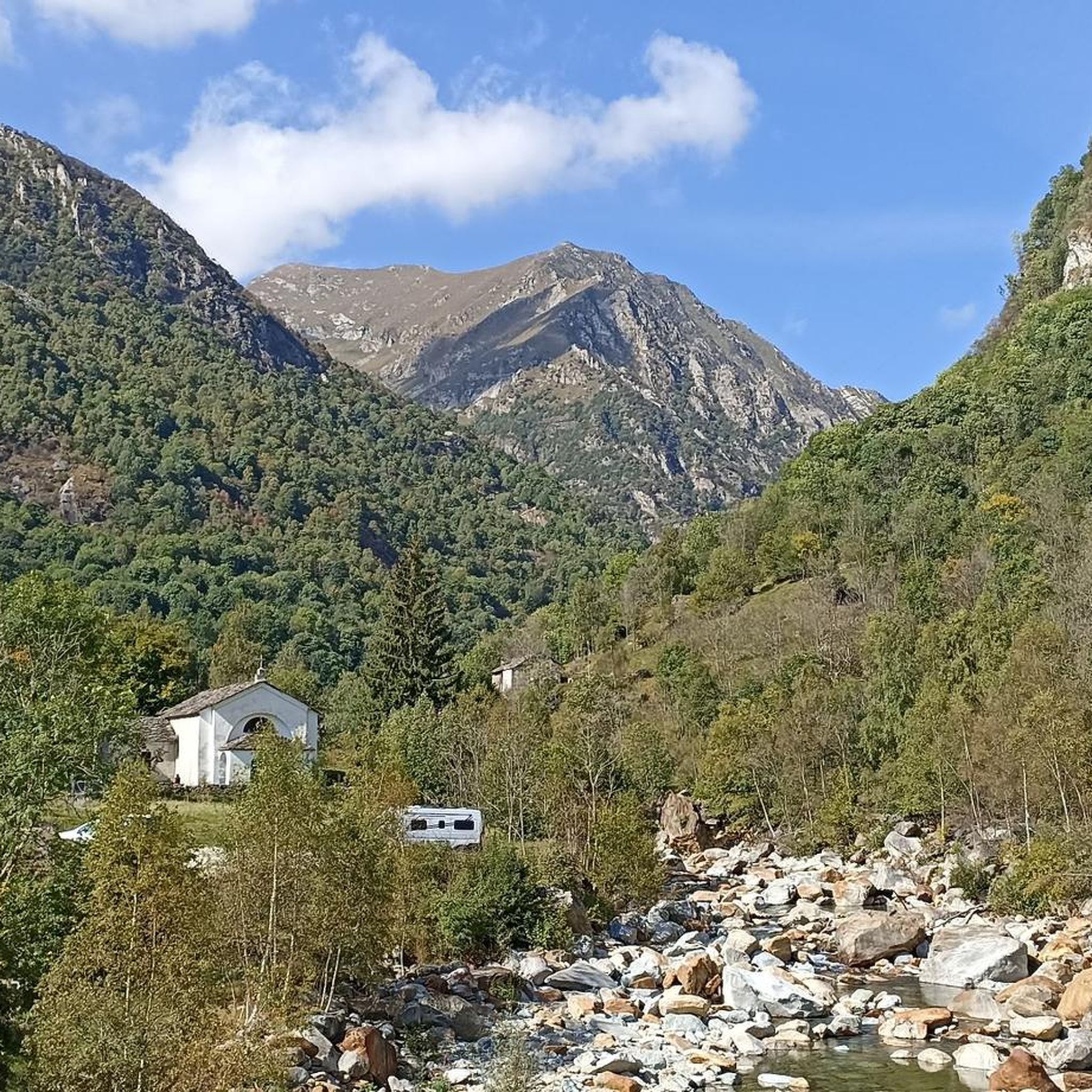
Last location in Valchiusella accessible by car
0
0
Frequently Asked Questions
How many hiking trails are available around Trausella?
The region around Trausella, now part of Valchiusa, offers a wide variety of hiking opportunities with over 440 trails to explore. These range from easy walks suitable for families to more challenging mountain ascents.
Are there hiking options for beginners or families in Trausella?
Yes, Trausella provides numerous trails suitable for beginners and families. There are over 110 easy routes and more than 220 moderate trails, ensuring options for various fitness levels. Many of these paths offer gentle gradients and scenic views, perfect for a relaxed day out.
What unique natural features can I discover while hiking in Trausella?
Trausella is home to some truly unique natural phenomena. One notable feature is The Dancing Lands (Terre Ballerine), a small forest where the ground, composed of peat resting on water, has a distinct elasticity, causing plants to move when you jump. Additionally, you can visit Lake Pistono and the Archaeological Park of the Stilt Houses, combining natural beauty with historical interest.
Are there any waterfalls to see on hikes near Trausella?
Yes, the area around Trausella features several beautiful waterfalls. You can explore highlights such as the Cogne Mines Waterfall or the Chiara Waterfall. These natural attractions provide refreshing stops and picturesque scenery along your hike.
Are there any hikes with historical or archaeological significance?
Absolutely. The Trail of the Souls is a moderate 4.1-mile path notable for its ancient forest sections and 136 prehistoric petroglyphs, offering a blend of nature and history. Another option is the Via dei Cantoni Trail 750 through Historic Alpine Hamlets, which leads through charming old villages.
What is the best time of year to go hiking in Trausella?
The best time for hiking in Trausella is typically from spring through autumn, when the weather is mild and the trails are most accessible. Summer offers lush greenery, while autumn brings vibrant fall colors. Some higher altitude trails might be challenging or inaccessible during winter due to snow.
Can I bring my dog on the hiking trails in Trausella?
Many trails in the Trausella region are dog-friendly, allowing you to enjoy the natural beauty with your canine companion. However, it's always recommended to check specific trail regulations and local signage, and to keep your dog on a leash, especially in protected areas or near livestock.
Are there any circular hiking routes available?
Yes, the Trausella area offers a good selection of circular hiking routes, allowing you to start and end your journey in the same location without retracing your steps. These routes often provide diverse scenery and points of interest along the way. You can filter for circular routes on komoot to find one that suits your preferences.
What do other hikers enjoy the most about hiking in Trausella?
The hiking trails around Trausella are highly rated by the komoot community, with an average score of 4.4 stars from over 2,400 reviews. Hikers often praise the pristine natural environment of the Val Chiusella, the unique geological features like the 'Terre Ballerine,' and the historical trails that offer a blend of nature and culture.
Are there any challenging hikes for experienced trekkers?
For experienced hikers, Trausella offers several challenging routes with significant elevation gains. The GTA: Fondo to Piamprato Trail is a difficult 11.1-mile route that takes nearly 8 hours to complete and offers extensive views across the Val Chiusella. Another demanding option is the GTA: Le Capanne - Fondo Trail, known for its substantial elevation changes.
Where can I find parking for the hiking trails?
Parking availability varies depending on the specific trailhead. Many popular starting points for hikes in the Val Chiusella region, including those near Trausella, offer designated parking areas. It's advisable to check the route details on komoot for information on parking facilities near your chosen trail.
Are there viewpoints or summits with panoramic views?
Yes, the mountainous terrain around Trausella, including Mount Bric di Trausella and Monte Gregorio, provides excellent opportunities for panoramic views. Highlights like Pian delle Nere and Punta Quinseina Sud Summit Cross offer elevated perspectives of the Val Chiusella and the surrounding landscapes.
Most popular routes around Trausella
Most popular attractions around Trausella

Get inspired with the komoot mobile app


Explore more
Browse the best Hikes in other regions.
