The best road cycling routes around Pragelato
4.7
(131)
10,652
riders
54
rides
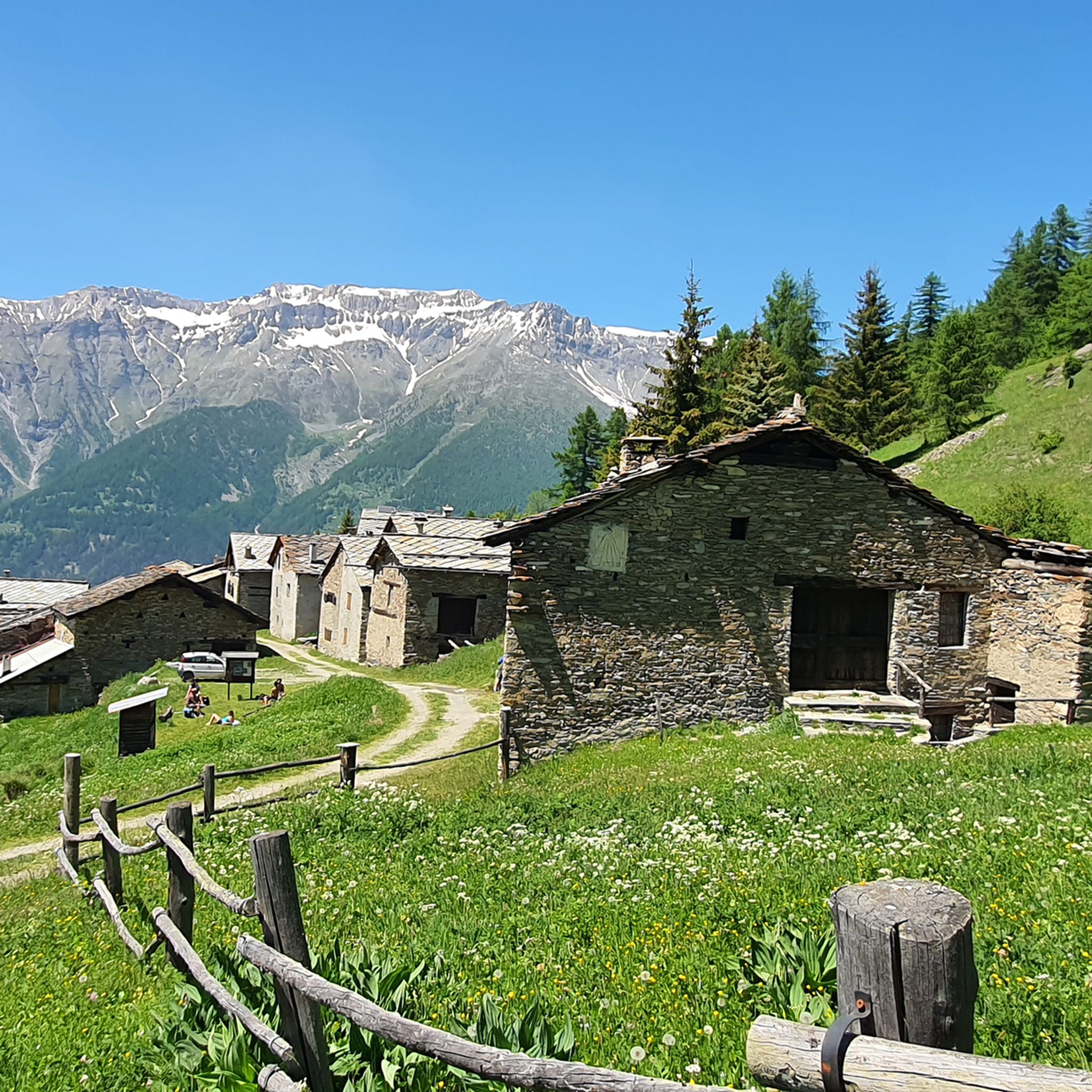
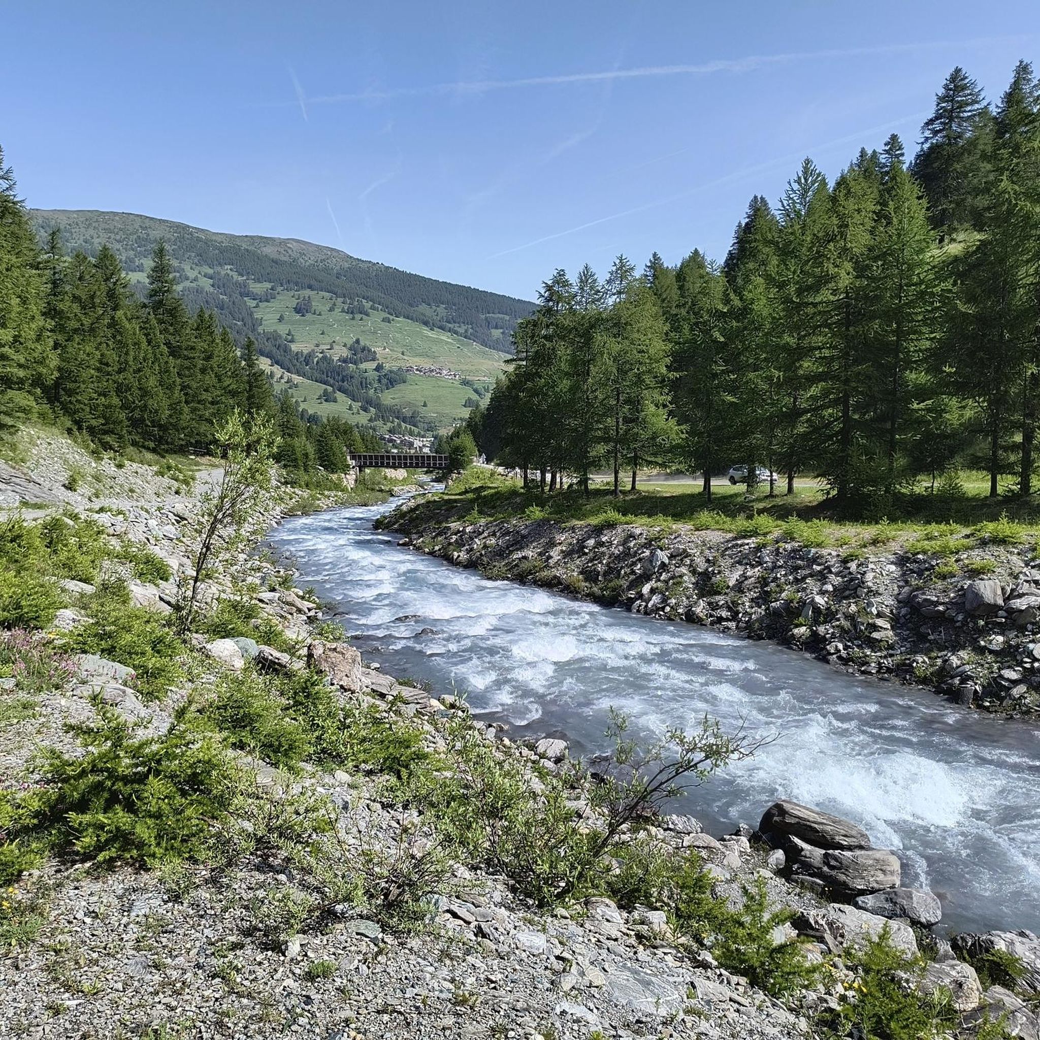
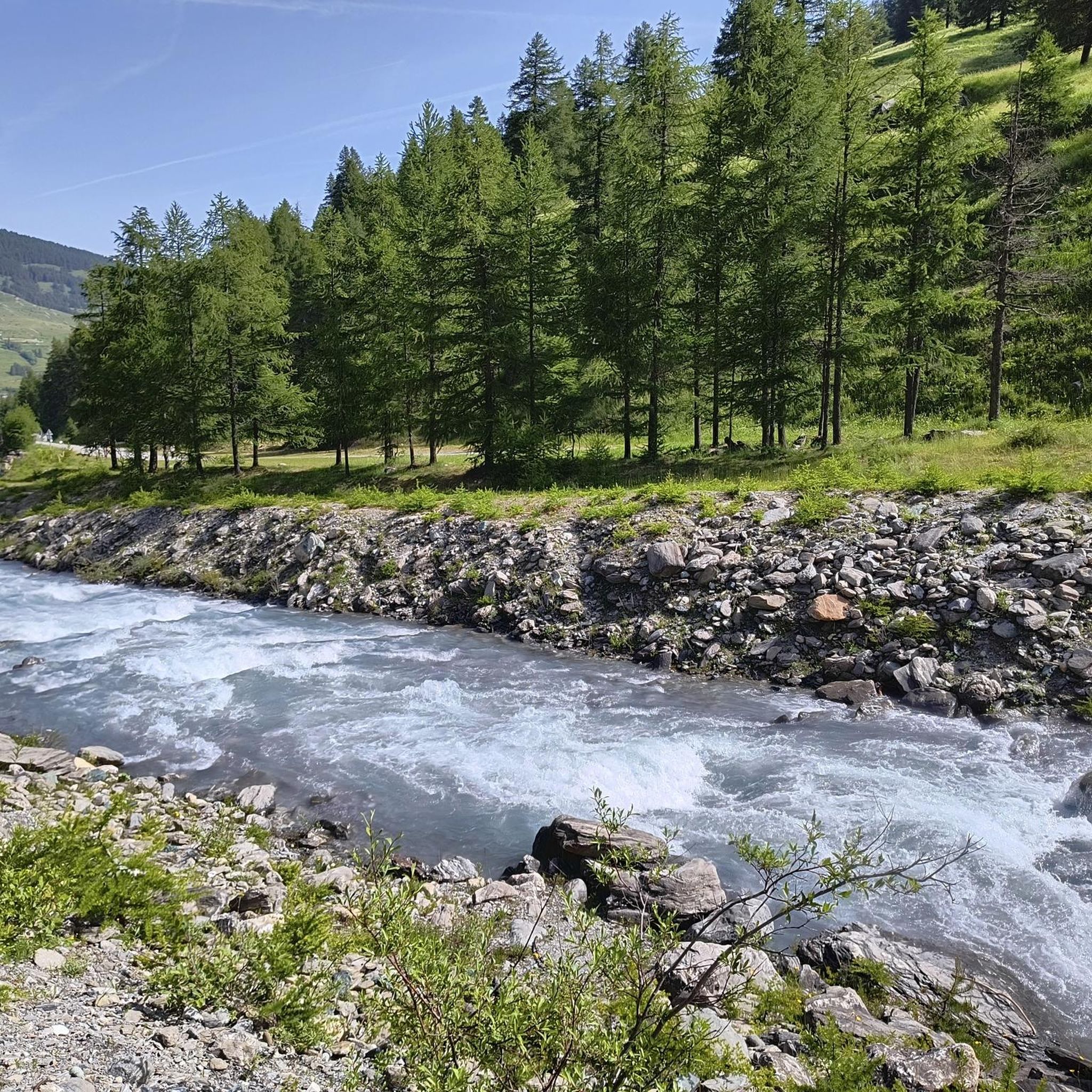
Road cycling around Pragelato, nestled in the Cottian Alps of Piedmont, Italy, offers diverse alpine landscapes. The region features high-altitude environments, including the Val Troncea Natural Park and the Chisone Valley, characterized by dense forests, alpine lakes, and rugged rock formations. Road cyclists encounter a mix of challenging climbs and scenic descents through this mountainous terrain.
Best road cycling routes around Pragelato
- The most popular road cycling route is Arch of Augustus in Susa – Pian dell'Alpe loop from Sestriere…
Last updated: July 7, 2026
4.7
(3)
128
riders
34.5km
02:07
940m
940m
Hard road ride. Very good fitness required. Some segments of this route may be unpaved and difficult to ride.
22
riders
94.2km
05:05
1,900m
1,900m
Hard road ride. Very good fitness required. Some segments of this route may be unpaved and difficult to ride.

Sign up for free
9
riders
25.5km
01:23
500m
500m
Moderate road ride. Good fitness required. Some segments of this route may be unpaved and difficult to ride.
4.7
(3)
404
riders
34.3km
02:06
910m
910m
Hard road ride. Very good fitness required. Mostly well-paved surfaces and easy to ride.
5.0
(3)
321
riders
77.2km
04:52
2,240m
2,240m
Hard road ride. Very good fitness required. Mostly well-paved surfaces and easy to ride.
Get access to more routes and recommendations from other explorers.
Sign up for free
Already have an account?
Our route recommendations are based on thousands of hikes, rides, and runs completed by other people on komoot.
Start today with a free account
Your next adventure awaits.
Login or Signup


Tips from the Community

This mountain offers you beautiful views.
18
0

Here is the route for the ascent of the Col de Montgenèvre starting from La Vachette
3
0

The road itself is very beautiful, but the constant traffic, even heavy, unfortunately makes it not very enjoyable except in the early morning or in the evening.
4
0

Although the flag parade seen in some of the photos (which various users have uploaded to the highlight) could theoretically fit into a memorial for the victims of the two world wars – who came from many different nationalities – they do not belong in any context with the “Monumento ai caduti”.
0
0

A beautiful stretch that allows you to reach the Argentera Valley more easily, or with more effort Cima del Bosco
1
0
The climb is smooth and the view is fantastic.
18
0
As you descend from Monginevro you can admire Cesana Torinese from above.
17
0
The climb is not too difficult and offers excellent views.
17
0
Frequently Asked Questions
What types of road cycling routes can I find around Pragelato?
Pragelato offers a diverse range of road cycling routes, from challenging climbs to scenic descents. You'll find routes with significant elevation gain through alpine landscapes, as well as moderate options. The region features over 40 routes, with 22 classified as difficult and 19 as moderate, ensuring options for various skill levels.
Are there any family-friendly road cycling routes in Pragelato?
Yes, Pragelato offers some easier routes suitable for families, particularly those that follow the Chisone stream within the Val Troncea Natural Park. These routes provide a gentler experience amidst beautiful natural surroundings.
What natural features or landmarks can I expect to see while cycling in Pragelato?
Road cycling in Pragelato takes you through stunning alpine landscapes, including the Val Troncea Natural Park with its dense forests of larch and stone pine, and the picturesque Chisone Valley. You might encounter beautiful waterfalls, alpine lakes like the Lakes of Cristalliera, Lake Chardonnet, and the Lakes of Beth, and charming old hamlets such as Laval and Seytes. The region is also home to high-altitude peaks like Punta Rognosa di Sestriere.
Are there any challenging climbs for experienced road cyclists?
Absolutely. Pragelato is known for its demanding climbs. A notable route is the Colle delle Finestre Climb from Pragelato, a difficult 34.5 km path with significant ascent. Another challenging option is the Arch of Augustus in Susa – Pian dell'Alpe loop from Sestriere, which covers 93.8 km with over 2,500 meters of elevation gain.
What do other road cyclists say about the routes in Pragelato?
The road cycling routes in Pragelato are highly rated by the komoot community, with an average score of 4.6 stars from over 100 reviews. Cyclists often praise the majestic alpine landscapes, the variety of challenging and scenic routes, and the preserved natural environment.
Can I find places to rest or eat along the routes?
Yes, within the Val Troncea Natural Park and surrounding areas, you can find mountain huts that offer opportunities for rest and local cuisine. Examples include the Assietta Refuge and the Mulino di Laval Mountain Hut.
Are there any circular road cycling routes available?
Yes, many routes in Pragelato are designed as loops. For instance, the Arch of Augustus in Susa – Pian dell'Alpe loop from Sestriere is a popular circular route offering extensive alpine views.
What is the best time of year for road biking in Pragelato?
Pragelato, being in the high-altitude Cottian Alps, is best for road cycling during the warmer months, typically from late spring to early autumn. This period offers more favorable weather conditions and ensures that higher mountain passes are clear of snow.
Are there any moderate road cycling routes for those looking for a less intense ride?
Certainly. Pragelato offers several moderate routes. The Fenestrelle and Usseaux from Pragelato route is a moderate 25.5 km ride with over 500 meters of elevation gain, providing a scenic experience without the extreme demands of the most difficult climbs.
What kind of terrain should I expect on road cycling routes in Pragelato?
The terrain around Pragelato is predominantly mountainous, featuring a mix of paved roads and some challenging unpaved sections, especially on routes like the Strada dell'Assietta. You'll encounter steep ascents, winding descents, and roads that traverse dense forests and open alpine meadows.
Are there any specific historical or cultural points of interest along the cycling routes?
Beyond the natural beauty, you can explore charming old hamlets within the Val Troncea Natural Park, such as Laval, Seytes, Troncea, Jussaud, and Alpe Mei. These villages showcase the traditional lifestyle and architecture of the Chisone Valley, offering a glimpse into the region's heritage.
Most popular routes around Pragelato
Most popular attractions around Pragelato

Get inspired with the komoot mobile app


Explore more
Browse the best Road cycling routes in other regions.
