The best running trails around Colleretto Castelnuovo
4.8
(65)
2,583
runners
207
runs
Jogging around Colleretto Castelnuovo, located in Italy's Piedmont region, offers diverse routes through its natural landscapes. The area is characterized by green hills and mountainous terrain, providing varying elevations for running. Trails wind through forests and open spaces, offering opportunities to explore the region's natural beauty. This setting provides a range of running experiences, from gentler paths to more challenging mountain trails.
Best jogging routes around Colleretto Castelnuovo
- The most popular jogging route is Castellamonte – loop tour in the…
Last updated: July 11, 2026
1
runners
5.37km
00:39
120m
120m
Moderate run. Good fitness required. Mostly accessible paths. Some sure footedness required.
13.5km
02:12
810m
820m
This difficult 8.4-mile (13.5 km) jogging loop in the province of Turin offers a challenging run through wild natural plains.

Sign up for free
68
runners
16.7km
02:38
860m
860m
Hard run. Very good fitness required. Sure-footedness, sturdy shoes and alpine experience required.
38
runners
6.33km
01:45
760m
760m
Hard run. Very good fitness required. Sure-footedness, sturdy shoes and alpine experience required.
33
runners
11.7km
01:39
550m
550m
Hard run. Very good fitness required. Sure-footedness, sturdy shoes and alpine experience required.
Get access to more routes and recommendations from other explorers.
Sign up for free
Already have an account?
Our route recommendations are based on thousands of hikes, rides, and runs completed by other people on komoot.
Start today with a free account
Your next adventure awaits.
Login or Signup

Tips from the Community

L'Alpe Frera is reachable by dirt road and we can stock up on water at the fountain.
0
0


the blooming of Narcissus and Monte Val o in the background
2
0

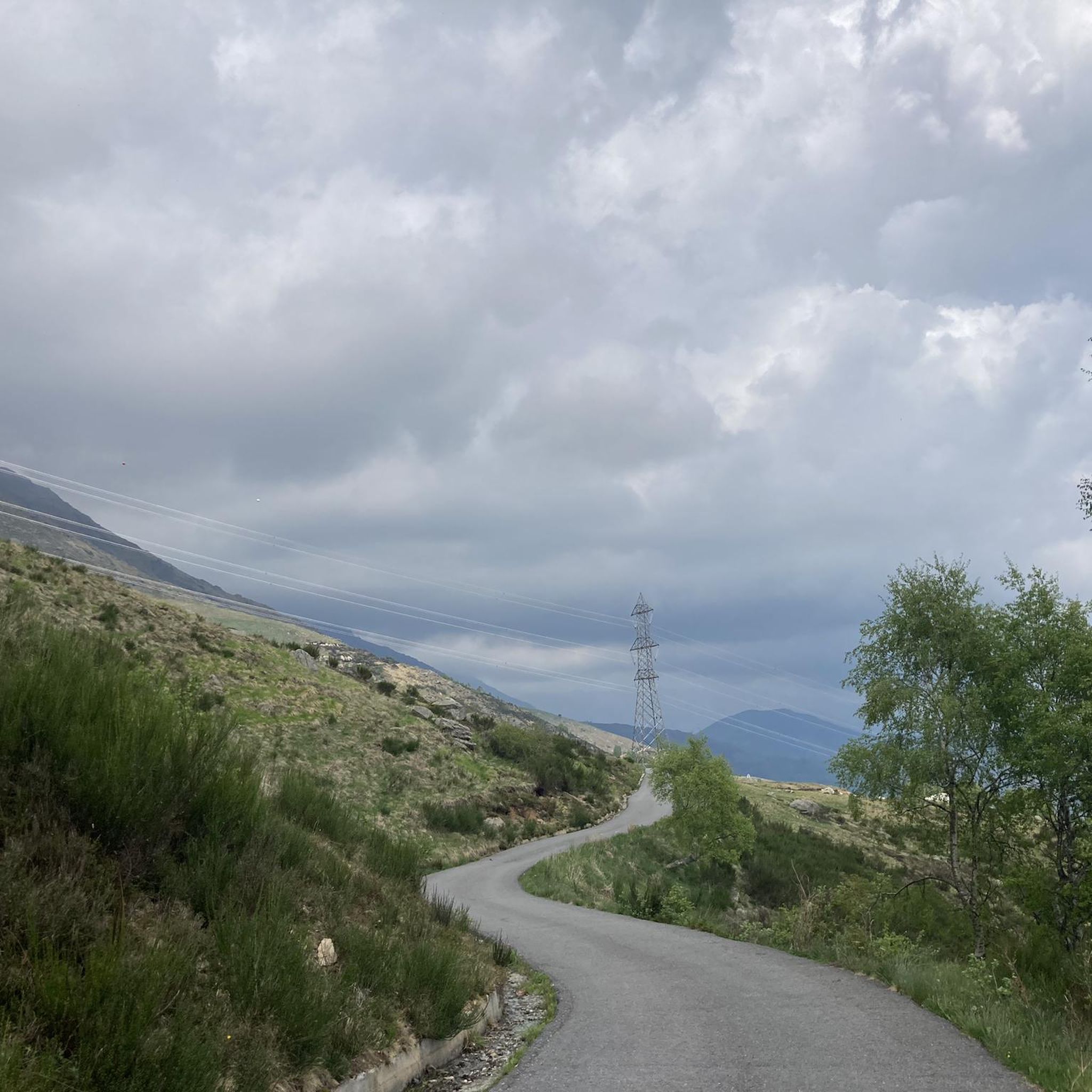
Accessible by car via a somewhat narrow but recently restored paved road, it is in excellent condition. Ample parking is available. It has a barbecue and picnic area. It's also an excellent starting point for reaching the surrounding peaks.
2
0

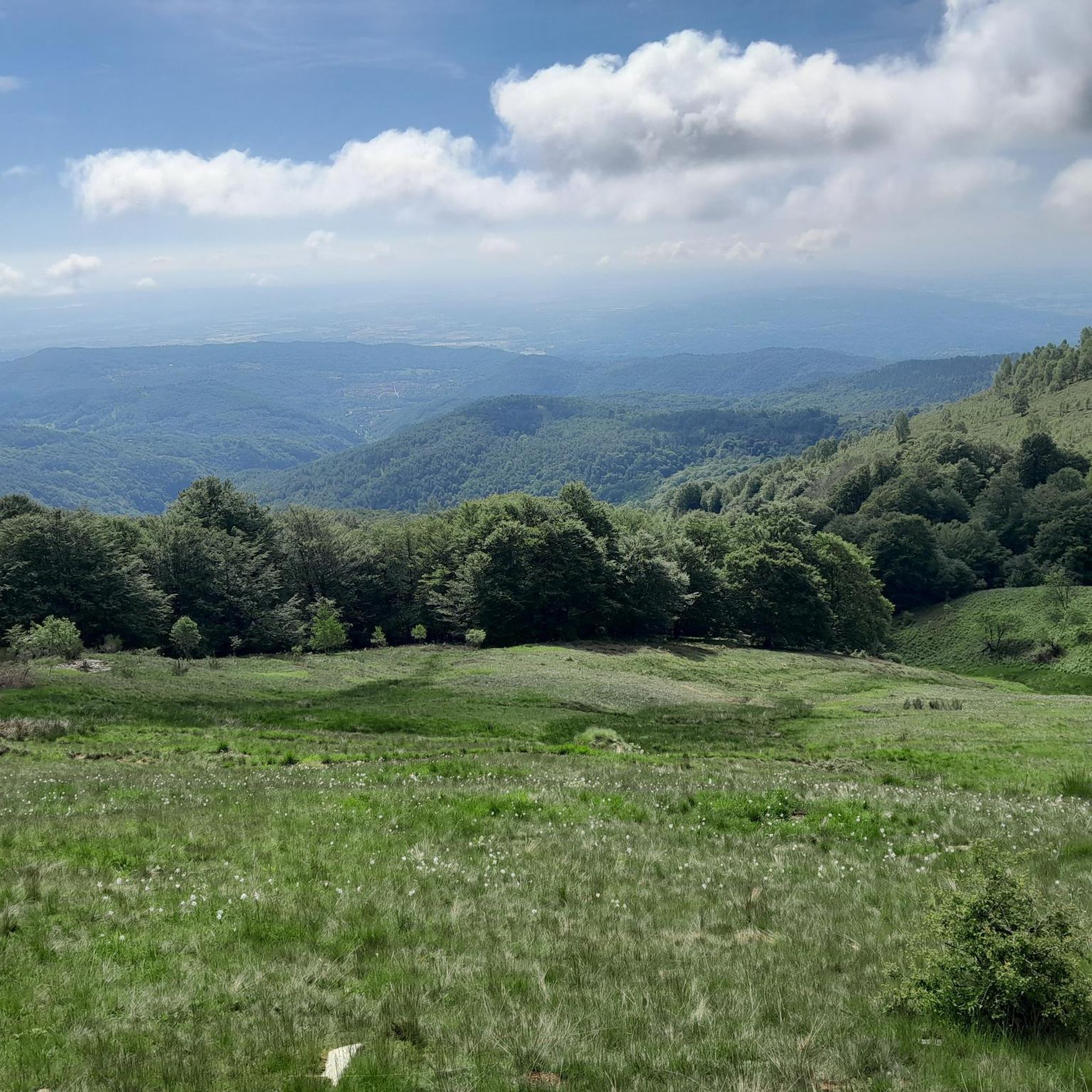
A natural spectacle to enjoy in the month of May
2
0
Easily accessible on a paved road (unfortunately). Breathtaking view of the plain. In May, the spectacle of the daffodils blooming is unmissable.
2
0

late autumn weather
0
1

To reach the 2,231 meters of altitude of Punta Quinseina Sud, also known as Punta Quinseina di Santa Elisabetta, you follow a beautiful path which, although not particularly difficult, has quite steep sections, sometimes on stony ground, and starts from Pian del Lupo. If the mists allow it, the panorama from this point is extraordinary, ranging from the Canavese plain to the Alps. However, even more fascinating is the somewhat exposed path along the ridge that leads to the northern tip. Running along the ridge is an amazing experience!
1
0
Frequently Asked Questions
How many running routes are available in Colleretto Castelnuovo?
Colleretto Castelnuovo offers a wide selection of running routes, with over 160 trails available. These routes vary in difficulty, from easy paths to more challenging mountain trails, ensuring options for all fitness levels.
Are there easy jogging routes suitable for beginners in the area?
Yes, Colleretto Castelnuovo has a few easy jogging routes, and many moderate trails that are accessible for those new to running or looking for a less strenuous experience. For example, the Castellamonte – loop tour in the province of Turin is a moderate 3.3-mile (5.4 km) route that offers varied scenery without extreme difficulty.
What kind of landscapes and natural features can I expect on the running trails?
The running trails around Colleretto Castelnuovo wind through diverse and picturesque landscapes. You can expect immersive green hills, extensive forests, and mountainous terrain with varying elevations. Notable features include plateaus like Pian delle Nere, which offers panoramic views of the Canavese plain, and trails leading towards mountain peaks such as Cima Mares.
Are there any routes that feature waterfalls or other unique natural sights?
Yes, for those seeking unique natural sights, the Waterfall on the Trail – Rhododendron Trail loop from Castelnuovo Nigra is a challenging 10.4-mile (16.7 km) route that specifically highlights a waterfall, offering a rewarding experience through natural landscapes.
What do other runners enjoy most about jogging in Colleretto Castelnuovo?
The running routes in Colleretto Castelnuovo are highly rated by the komoot community, with an average score of 4.6 stars from over 40 reviews. Runners frequently praise the varied terrain, the tranquil atmosphere, and the breathtaking views of the green hills and mountainous landscapes.
Are there any circular jogging routes available?
Yes, many of the jogging routes in Colleretto Castelnuovo are circular, offering convenient starting and ending points. Examples include the Castellamonte – loop tour and the Running loop from Santa Elisabetta, which provides panoramic views.
Can I find routes with panoramic views or viewpoints?
Absolutely. The region is known for its stunning vistas. The "St. Elizabeth's Point" offers panoramic views of the Cuorgnè foothills, and the Running loop from Santa Elisabetta leads through areas with excellent panoramic views. Additionally, Pian delle Nere is a plateau that provides breathtaking views of the Canavese plain.
Are there any natural monuments or points of interest along the jogging routes?
Yes, the area around Colleretto Castelnuovo is rich in natural monuments and points of interest. You might encounter highlights such as the summit of Cima Mares, the scenic Pian delle Nere, or even the Sanctuary of Sacro Monte di Belmonte. The region also features several beautiful lakes, including Lake Meugliano and Lake Alice, which can be explored on nearby routes.
What is the best time of year for jogging in Colleretto Castelnuovo?
The diverse terrain of Colleretto Castelnuovo makes it suitable for jogging across various seasons. Spring, with the spectacle of daffodils blooming in May around Pian delle Nere, and autumn, with its vibrant foliage, offer particularly scenic experiences. Summer provides warm conditions, while winter can offer unique challenges on higher trails, though some paths may be more complex due to snow or ice.
Are there any challenging running routes for experienced trail runners?
For experienced trail runners, Colleretto Castelnuovo offers several difficult routes with significant elevation changes. The Waterfall on the Trail – Rhododendron Trail loop from Castelnuovo Nigra and the Church of Saint Elizabeth – Sanctuary of Santa Elisabetta loop are examples of challenging paths that provide a rewarding workout through mountainous terrain.
Are the trails suitable for families or those with children?
While many trails offer varying difficulties, areas like Pian delle Nere are particularly family-friendly. This plateau features a picnic area and a playground, making it an accessible and enjoyable spot for families to start a run or enjoy the scenic surroundings.
What is the typical elevation gain on the running routes?
The elevation gain on running routes in Colleretto Castelnuovo varies significantly due to the region's mountainous terrain. While some routes have gentler inclines, others, like the Church of Saint Elizabeth – Sanctuary of Santa Elisabetta loop, can feature over 1000 meters of ascent, providing a challenging experience for those seeking significant elevation.
Most popular routes around Colleretto Castelnuovo
Most popular attractions around Colleretto Castelnuovo

Get inspired with the komoot mobile app


Explore more
Browse the best Running Trails & Routes in other regions.
