The 20 Most Amazing Peaks around Bruzolo
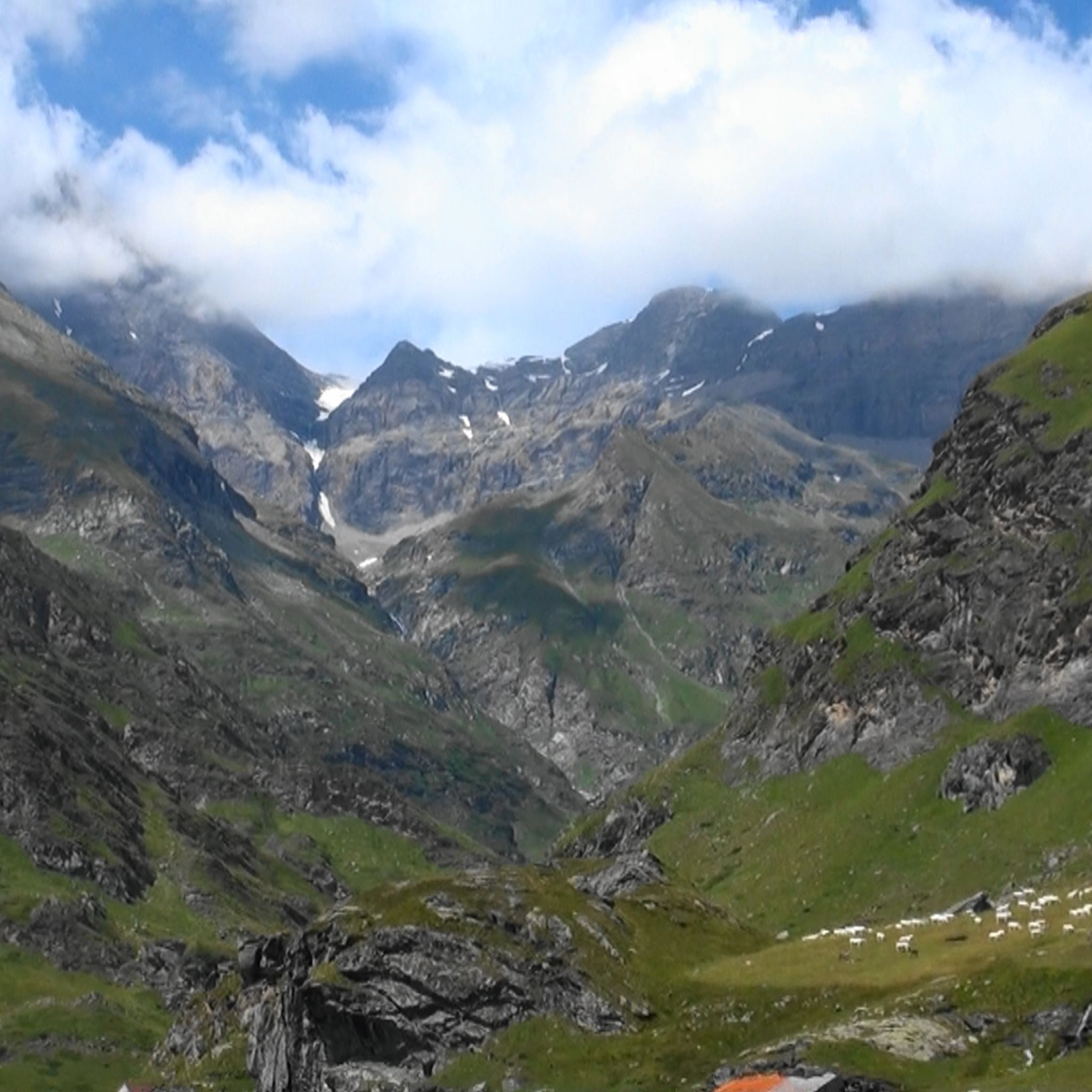
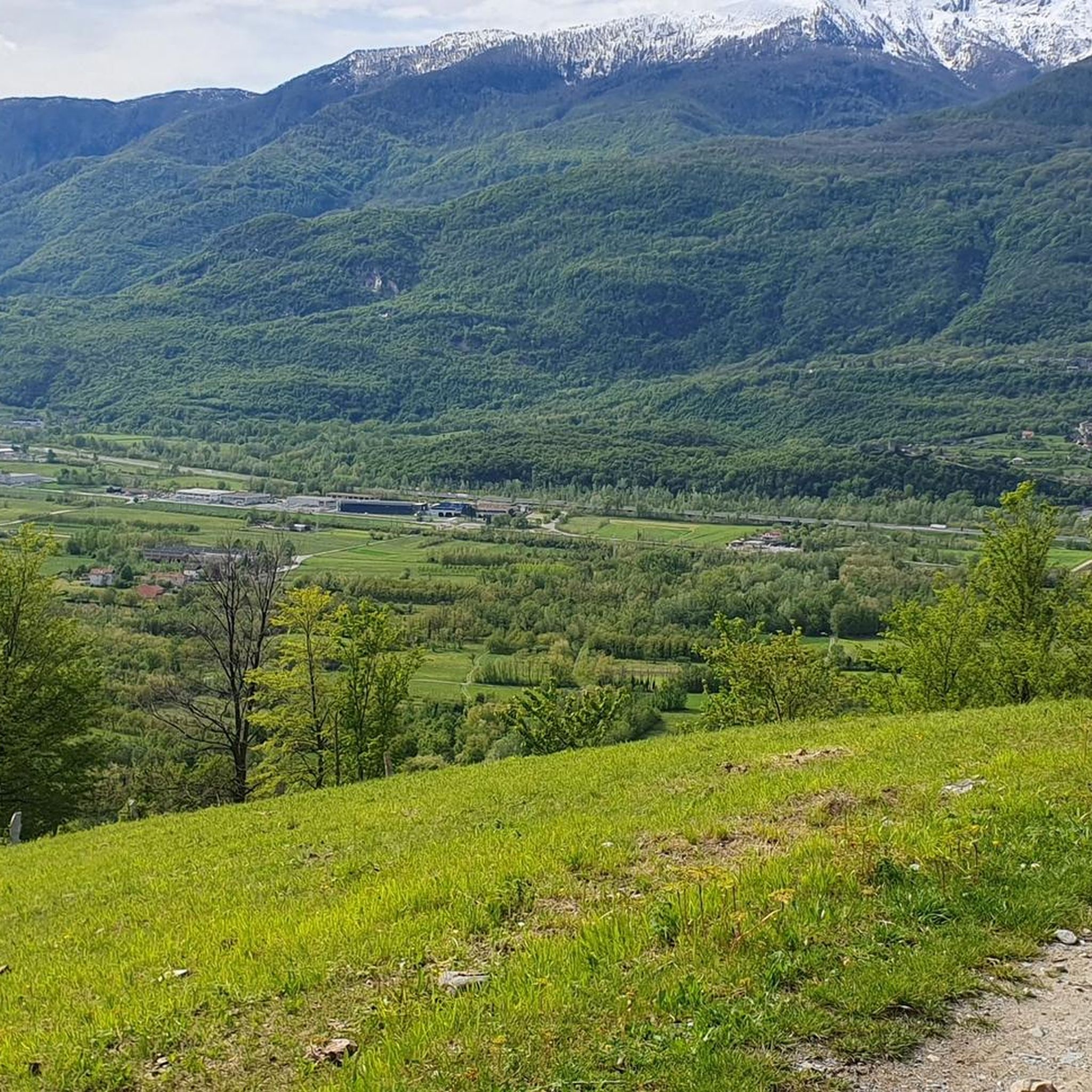
Best mountain peaks around Bruzolo are found in Italy's Susa Valley, an alpine region offering diverse terrain for hiking and exploration. The area is characterized by its captivating natural landscape, shaped by glaciers and featuring varied flora and fauna. It provides opportunities to explore significant peaks and historical sites within a protected natural environment.
Best mountain peaks around Bruzolo
- The most popular mountain peaks include Cà d'Asti Hut (2,854 m), a hut that serves as a support point for…
Last updated: October 11, 2026
Rocciamelone Summit
Highlight • Summit
Translated by Google •
Tip by

Sanctuary of Our Lady of the Angels
Highlight • Religious Site
Translated by Google •
Tip by

Sign up now to discover places like this
Get recommendations on the best single tracks, peaks, & plenty of other exciting outdoor places.
Punta Imperatoria (Civrari)
Highlight • Summit
Translated by Google •
Tip by

Cristalliera Peak
Highlight • Summit
Translated by Google •
Tip by

Scenic trail on the Arnas valley
Highlight • Summit
You then continue to the …
Translated by Google •
Tip by

Sign up for free to discover even more peaks around Bruzolo.
Already have an account?
Start today with a free account
Your next adventure awaits.
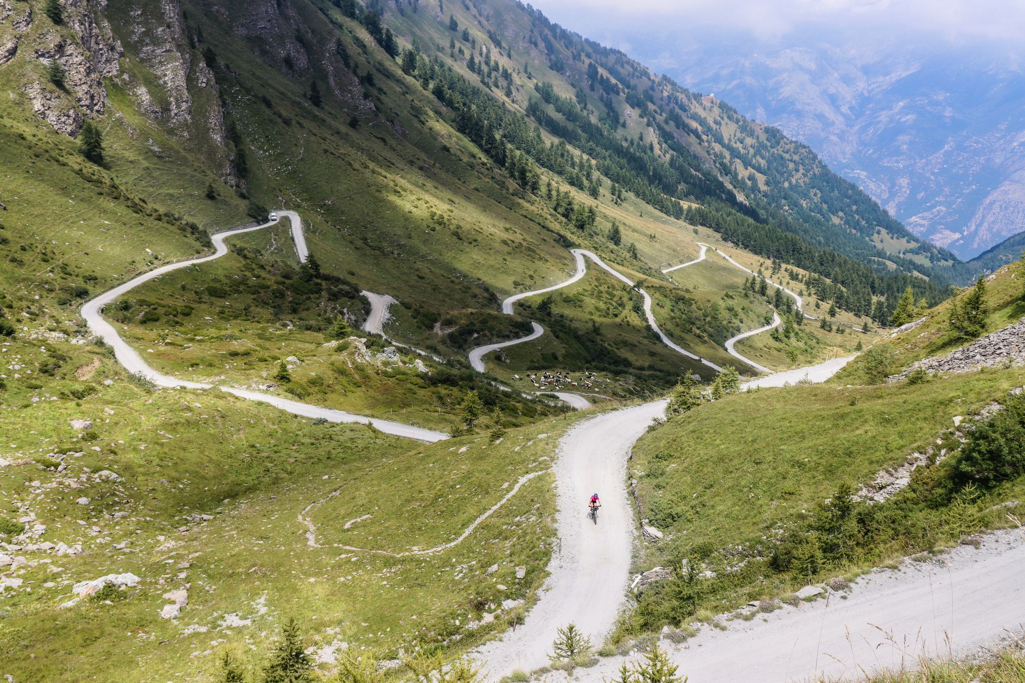
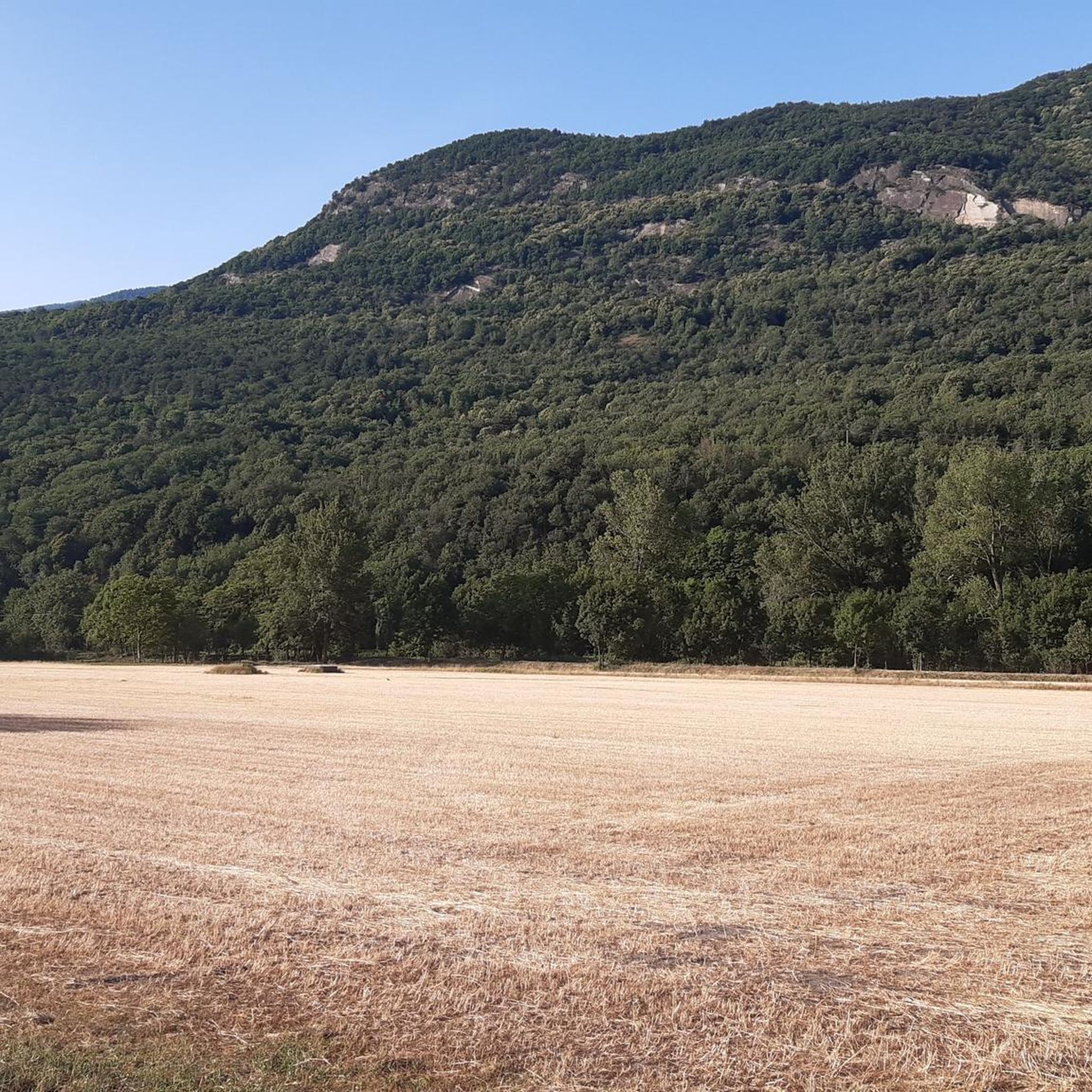
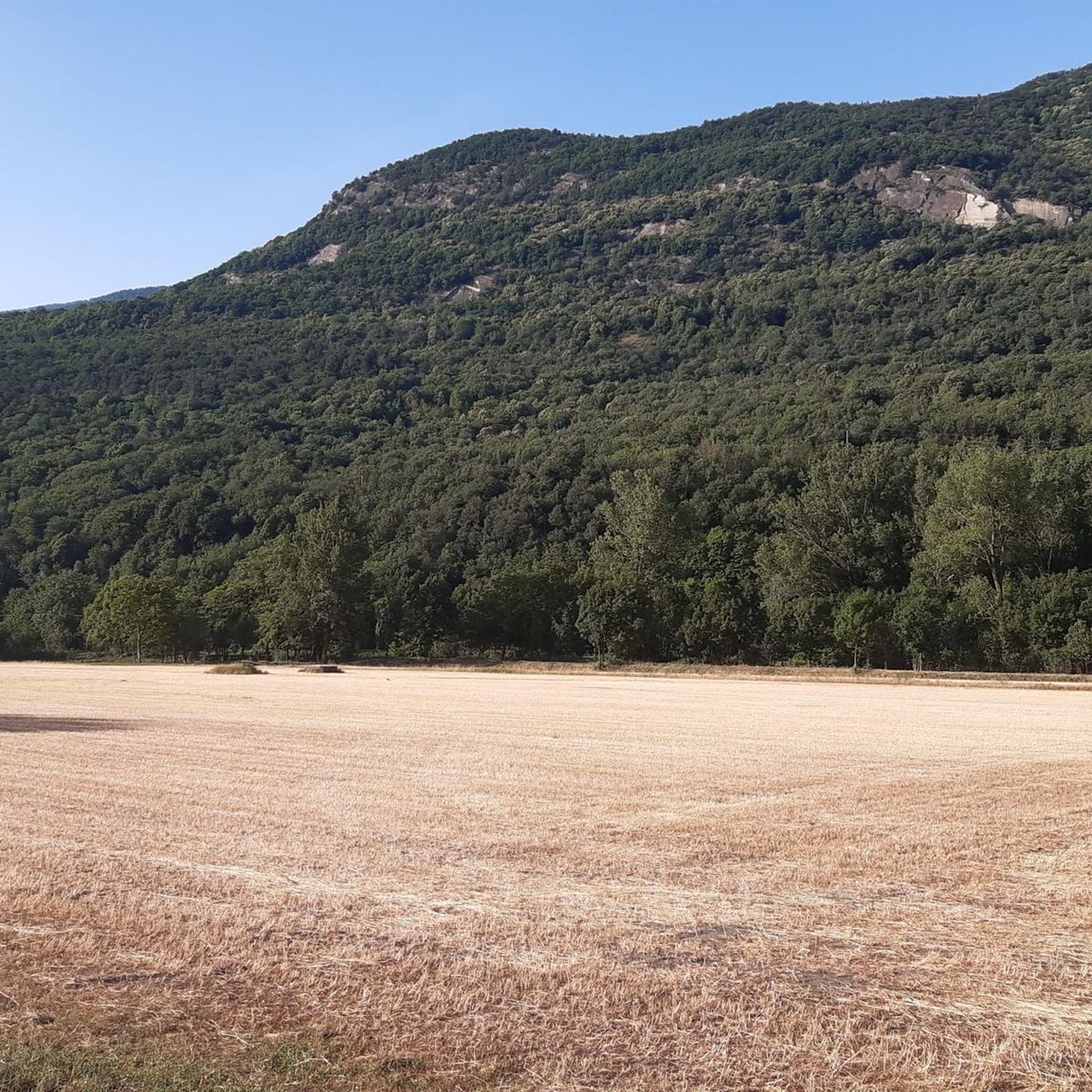
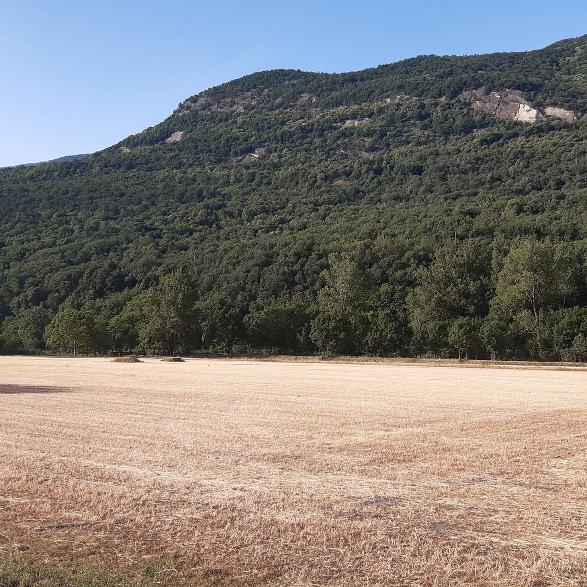



Tips from the Community

Turret on top, if reached at lunchtime there is no shade, and being a rocky summit it gets very hot. But the panorama is stunning!
0
0

A long and challenging climb from Condove, it can also be reached from the Lemie side in Val di Viú
1
0

in case of snow be careful not to lose the path
0
0

Long excursion, starting from Margone and arriving at the Cibrario refuge with 1200 m of altitude difference, difficult but fairly smooth path. Then we continue from the refuge, we climb a fairly steep and delicate climb for a first stretch, immediately after there is a beautiful natural lake and from there the climb begins up to the hill, from the hill there are signs, a scree begins that gradually becomes very tiring and dangerous as you climb because the stones crumble, with a little attention you reach the summit with great difficulty but the view is truly beautiful. Excursion suitable for those who already have a lot of experience.
0
0
Starting from Margone the path that goes up to the Cirbrario refuge is very steep but doable with 1200 mt. Up to the Cibrario refuge. You then continue to the Croce Rossa peak, the first part is steep and the path is very steep and delicate…then there are some small lakes to cross and you go up to the hill, there is still a very challenging climb and then you pass on a scree until you go up with a very difficult climb with slippery stones, definitely a climb for experts until the summit is 20164 mt of altitude difference from Margone.
1
0

i want to climb the Rocciamelone in April from Susa? Is that possible (is there still snow then) and is it easy to lift with other fellow hikers?
0
0

Once you reach the upper hill of Malanotte, go up following the cairns carefully, trying not to lose sight of them. It is easy to leave the unmarked path and end up on stony ground, making the route more difficult. The climb is very steep and on a gravel path which makes it a little slippery, and for these reasons it is classified as EE. However feasible, I recommend two sticks which help a lot.
1
0

The trip is beautiful and the peak panoramic. it is signposted up to the pass; from there, follow the last white signs that lead to a path with cairns towards the summit. The last quite steep section has gravel and unstable stones. Sighted several ibexes.
1
0
Frequently Asked Questions
What are some of the most popular mountain peaks to visit around Bruzolo?
The region around Bruzolo offers several highly regarded mountain peaks. Among the most popular are Rocciamelone Summit, known for its challenging hike and panoramic views, and Cà d'Asti Hut (2,854 m), which serves as a support point for climbers. Another notable spot is the Sanctuary of Our Lady of the Angels, a religious building and viewpoint at 1,880 meters.
What is the hiking difficulty for mountain peaks near Bruzolo?
Hiking difficulties vary significantly. For instance, Rocca Patanua offers a medium difficulty excursion, though its final stretch to the summit is classified as 'EE' (for experienced hikers) due to easy rock climbing sections. Peaks like Punta Imperatoria (Civrari) and Cristalliera Peak are considered challenging, often involving steep gravel paths and stony ground where hands may be needed. Monte Palon, however, is generally considered not difficult, even with some snow.
When is the best time to hike the mountains around Bruzolo?
The best time to hike depends on the specific peak and your experience. Rocca Patanua, for example, is particularly suitable for spring and autumn due to its favorable exposure. Generally, the summer months offer more stable weather conditions for higher alpine routes, but starting early in the morning is often recommended to avoid afternoon clouds, especially on prominent summits like Rocciamelone.
What kind of natural features and panoramic views can I expect from the peaks around Bruzolo?
The peaks around Bruzolo offer breathtaking natural beauty. From Rocca Patanua, you can enjoy extensive panoramic views of the entire Val Susa, with distant sights of Monviso, Rocciamelone, and even French mountains like Pelvoux. Monte Palon provides superb views of Rocciamelone, the Orsiera-Rocciavrè Natural Park, and the Susa and Viù valleys. The Orsiera Rocciavrè Natural Park itself is characterized by diverse landscapes shaped by glaciers, including glacial lakes, steep slopes, and gorges, with rich flora and fauna.
Are there any historical or cultural sites on the mountain peaks near Bruzolo?
Yes, the region is rich in history and culture. The ascent to Rocca Patanua follows a historic resistance trail (Sentiero della Resistenza - Route 564) that passes through stone chapels and alpine ruins. The Orsiera Rocciavrè Natural Park protects historical sites such as the 13th-century Certosa di Montebenedetto and the 18th-century Forte di Fenestrelle. Additionally, the Sanctuary of Our Lady of the Angels is a significant Marian pilgrimage destination.
What outdoor activities can I do near these mountain peaks?
Beyond peak bagging, the area around Bruzolo offers a variety of outdoor activities. You can find numerous hiking trails, including the 'Rocca Patanua Summit via Sentiero della Resistenza (Route 564)' which is a difficult 13 km hike. For cycling enthusiasts, there are options like the 'Church of Saint Evasio – Novalesa Monument loop from Bruzolo' for touring bicycles, or the 'Lakes of Avigliana – Lago Grande di Avigliana loop from Bruzolo' for road cycling. You can explore more options on the Hiking around Bruzolo, Cycling around Bruzolo, and Road Cycling Routes around Bruzolo guide pages.
Are there family-friendly mountain peaks or trails around Bruzolo?
While many peaks offer challenging ascents, the Orsiera Rocciavrè Natural Park provides diverse terrain suitable for various levels, including less strenuous paths. The park's rich biodiversity and historical sites can make for an engaging family outing, even if not aiming for the highest summits. Always check specific trail descriptions for suitability for younger hikers.
What wildlife can be observed on mountain trails around Bruzolo?
The Orsiera Rocciavrè Natural Park is home to a diverse fauna, including chamois, alpine ibexes, marmots, wolves, and golden eagles. Hikers on trails leading to peaks like Cristalliera Peak have reported sighting ibexes. Keep an eye out for these animals, especially in quieter areas and during early morning or late afternoon hours.
What do visitors enjoy most about the mountain peaks around Bruzolo?
Visitors frequently highlight the spectacular panoramic views from the summits, the immersive natural experience, and the blend of challenging and moderate hiking opportunities. The historical and cultural elements, such as the resistance trails and ancient sanctuaries, also add a unique dimension to the experience. The komoot community has contributed 88 photos and 88 upvotes, reflecting the strong appeal of these peaks.
Are there mountain huts available for overnight stays or breaks?
Yes, the area provides mountain huts that can serve as support points or for overnight stays. The Cà d'Asti Hut (2,854 m) is a well-known example, located approximately halfway between La Riposa and Rocciamelone, offering half-board options during summer months. The Orsiera Rocciavrè Natural Park also contains several mountain huts connected by the 'Giro dell'Orsiera' footpath.
What are the terrain characteristics of the peaks around Bruzolo?
The terrain around Bruzolo's peaks is varied. You'll encounter everything from well-defined paths to stony ground, and even sections requiring easy rock climbing, as seen on Rocca Patanua. Peaks like Punta Imperatoria (Civrari) feature long stretches of stony ground. The Orsiera Rocciavrè Natural Park showcases landscapes shaped by glaciers, including steep slopes and gorges, composed mainly of ophiolites or 'green stones'.
Most popular routes around Bruzolo
Most popular attractions around Bruzolo

Get inspired with the komoot mobile app


Explore more
See even more amazing summits around Bruzolo with these guides:
