The best running trails around Roure
4.5
(14)
1,594
runners
104
runs
Jogging routes around Roure are set within the mountainous landscapes of the Alpes-Maritimes department, offering diverse terrain for runners. The region is characterized by its location within the Mercantour National Park, featuring a network of paths and trails that wind through alpine peaks, valleys, and forests. Runners can expect varied surfaces, including paved sections, dirt tracks, and grassy areas, providing a range of challenges and scenic backdrops.
Best jogging routes around Roure
- The most popular jogging route is Waldensian Glorious…
Last updated: August 25, 2026
15.5km
02:42
1,110m
1,110m
Hard run. Very good fitness required. Sure-footedness, sturdy shoes and alpine experience required.
2
runners
8.14km
00:58
240m
250m
Moderate run. Good fitness required. Mostly paved surfaces. Suitable for all skill levels.

Sign up for free
4.65km
00:45
300m
300m
Moderate run. Good fitness required. Mostly paved surfaces. Suitable for all skill levels.
35
runners
12.5km
01:47
490m
500m
Hard run. Very good fitness required. Sure-footedness, sturdy shoes and alpine experience required.
23
runners
5.95km
00:38
90m
90m
Moderate run. Good fitness required. Mostly paved surfaces. Suitable for all skill levels.
Get access to more routes and recommendations from other explorers.
Sign up for free
Already have an account?
Our route recommendations are based on thousands of hikes, rides, and runs completed by other people on komoot.
Start today with a free account
Your next adventure awaits.
Login or Signup


Tips from the Community

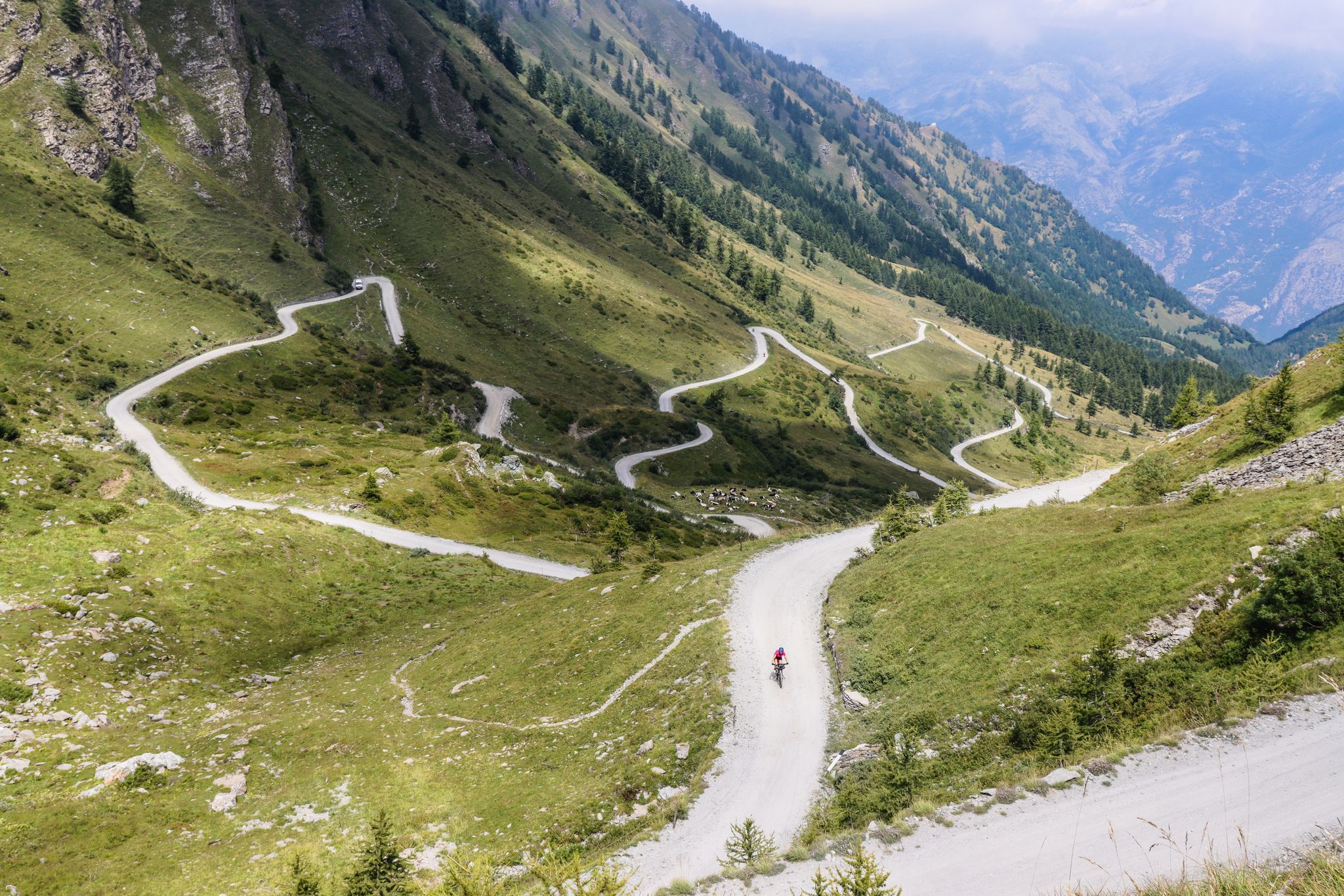
Along the climb just before the Assietta road
0
0
beautiful refuge in the Selleries valley
0
0

The Selleries refuge is located in the municipality of Roure (TO), in the Chisone valley, in the Cottian Alps, at 2,035 m above sea level. It can be easily reached by mountain bike from the paved road, but also on foot. The craft beers are excellent.
0
0

Massimo is one of the best and kindest refugee managers I have ever met.
1
0


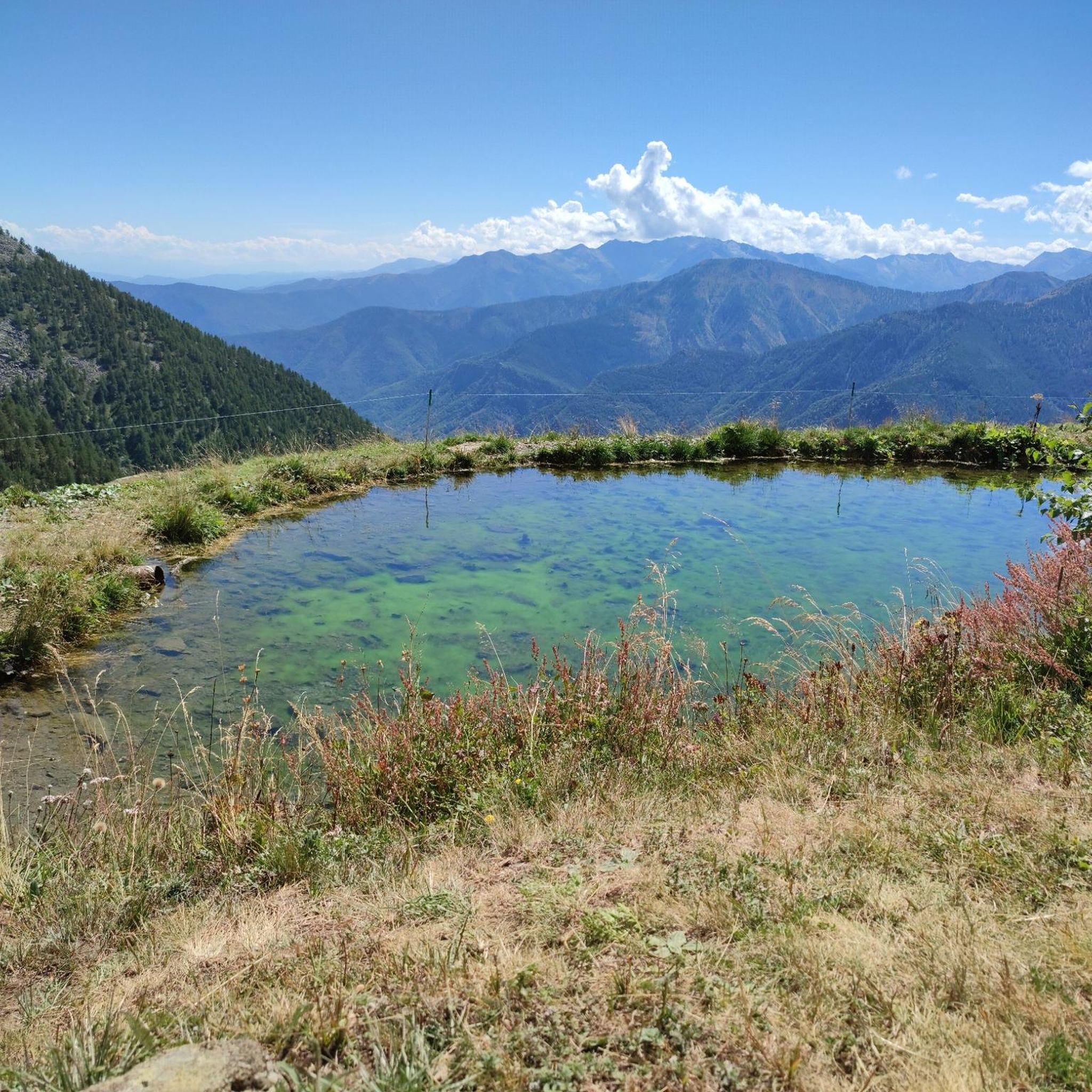
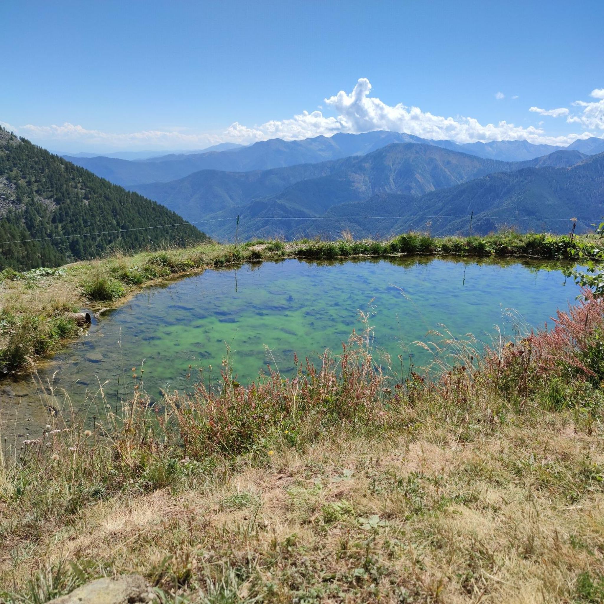
Situated in a green meadow in the presence of majestic and imposing mountains, this panoramic point is perfect for an open-air picnic or a relaxing break. Several trails start from this place.
0
0

Nice place to stay and go on trails. Hotel restaurant on the road to the hill.
0
0
Frequently Asked Questions
How many running routes are available around Roure?
Roure offers a wide selection of over 100 running routes, catering to various preferences and fitness levels. These trails wind through the stunning mountainous landscapes of the Alpes-Maritimes department, providing diverse terrain within the Mercantour National Park.
What kind of terrain can I expect on jogging trails in Roure?
The running routes around Roure feature diverse terrain, including mountainous paths, alpine valleys, and dense forests. You'll encounter varied surfaces such as paved sections, dirt tracks, and grassy areas. The region's location within the Mercantour National Park means many trails offer significant elevation gains and breathtaking views.
Are there running routes suitable for beginners in Roure?
While many routes in Roure are challenging, there are options for less experienced runners. You can find a few easy routes, though the majority are moderate to difficult. For a gentler experience, consider exploring trails within the Arboretum de Roure, which offers tranquil paths amidst diverse plant life.
What do other runners enjoy most about the trails in Roure?
The running trails in Roure are highly rated by the komoot community, with an average score of 4.5 stars from over 16 reviews. Runners frequently praise the stunning mountainous scenery, the diverse terrain, and the opportunity to explore the preserved landscapes of the Mercantour National Park.
Are there any family-friendly running paths in Roure?
For families looking for a pleasant run, routes with less strenuous elevation changes are available. While specific 'family-friendly' designations aren't always explicit, easier trails or those within the Arboretum de Roure could be suitable for a family outing. Always check the route's difficulty and elevation profile before heading out.
Can I bring my dog on the running routes in Roure?
Many trails in natural areas like the Mercantour National Park are generally dog-friendly, but it's always best to check specific regulations for each route or protected area. Ensure your dog is well-behaved and kept on a leash, especially in areas with wildlife or livestock. Always carry water for your pet and clean up after them.
Are there any circular running routes in Roure?
Yes, Roure offers several circular running routes. For example, the Rocca Morel loop from Roure is a popular 8.6 km trail that provides a complete circuit through mountainous terrain, often including potential viewpoints. Another option is the challenging Jouglard bivouac – Selleries Hut loop from Grange, which navigates varied mountain terrain.
What are some notable landmarks or viewpoints I might encounter on a run?
Running in Roure offers constant visual rewards. Many routes provide views of the surrounding mountains, including peaks bordering Italy. You might also pass by remote huts, such as the Selleries Hut, or explore historical landscapes like those found on the Waldensian Glorious Homecoming Trail. The Arboretum de Roure is also a scenic point of interest.
Are there any long-distance or challenging running trails for experienced runners?
Absolutely. Roure is an excellent destination for experienced runners seeking a challenge. Many of the 79 difficult routes feature significant elevation gains and cover longer distances. For instance, the Puy Abandoned Village loop from Fenestrelle is an 18 km difficult route with over 1,100 meters of elevation gain, offering a substantial workout.
What is the best time of year for running in Roure?
The best time for running in Roure largely depends on your preference. Spring and autumn offer pleasant temperatures and vibrant scenery. Summer provides longer daylight hours, though some higher-altitude trails might be warm. In winter, the landscape transforms with snow, offering a serene environment for cold-weather jogging or snowshoeing, but requires appropriate gear and caution.
Are there any running routes that pass by mountain huts or refuges?
Yes, several routes in the Roure area lead past or near mountain huts, which can be great spots for a break or to refuel. The Jouglard bivouac – Selleries Hut loop from Grange, for example, passes by remote huts. You can also find other huts like the Amprimo Mountain Hut or Toesca Hut in the wider region.
Are there options for parking near the running trailheads in Roure?
While specific parking information for every trailhead isn't always detailed, many routes originating from villages or popular starting points in the Mercantour National Park typically have designated parking areas. It's advisable to check the route details on komoot for specific parking recommendations or look for public parking in nearby towns like Roure itself.
Most popular attractions around Roure

Get inspired with the komoot mobile app


Explore more
Browse the best Running Trails & Routes in other regions.
