The best mountain hikes around Sauze D'Oulx
5.0
(2)
39
hikers
5
hikes
Mountaineering routes around Sauze D'Oulx traverse the high-altitude terrain of the Italian Alps, characterized by rugged peaks, alpine meadows, and dense coniferous forests. The region offers significant elevation changes, with routes often leading to panoramic viewpoints and mountain passes. Glacial valleys and rocky outcrops are common features, providing a challenging environment for mountaineers.
Best mountaineering routes around Sauze D'Oulx
- The most popular mountaineering route is Monte Giassiez loop from Thures, a 12.0 miles (19.3 km) difficult trail that takes…
Last updated: October 10, 2026
5.0
(1)
12
hikers
14.2km
07:17
1,180m
1,180m
Hard mountaineering route. Very good fitness required. Sure-footedness, sturdy shoes and alpine experience required.
5.0
(1)
10
hikers
19.5km
07:21
1,080m
1,090m
Hard mountaineering route. Very good fitness required. Mostly accessible paths. Sure-footedness required.

4
hikers
8.96km
03:22
610m
610m
Moderate mountaineering route. Good fitness required. Easily-accessible paths. Suitable for all skill levels.
5
hikers
11.3km
06:02
1,110m
1,110m
Hard mountaineering route. Very good fitness required. Sure-footedness, sturdy shoes and alpine experience required.
2
hikers
9.91km
04:21
750m
750m
Moderate mountaineering route. Good fitness required. Mostly accessible paths. Sure-footedness required.
Our route recommendations are based on thousands of hikes, rides, and runs completed by other people on komoot.
Start today with a free account
Your next adventure awaits.

Tips from the Community

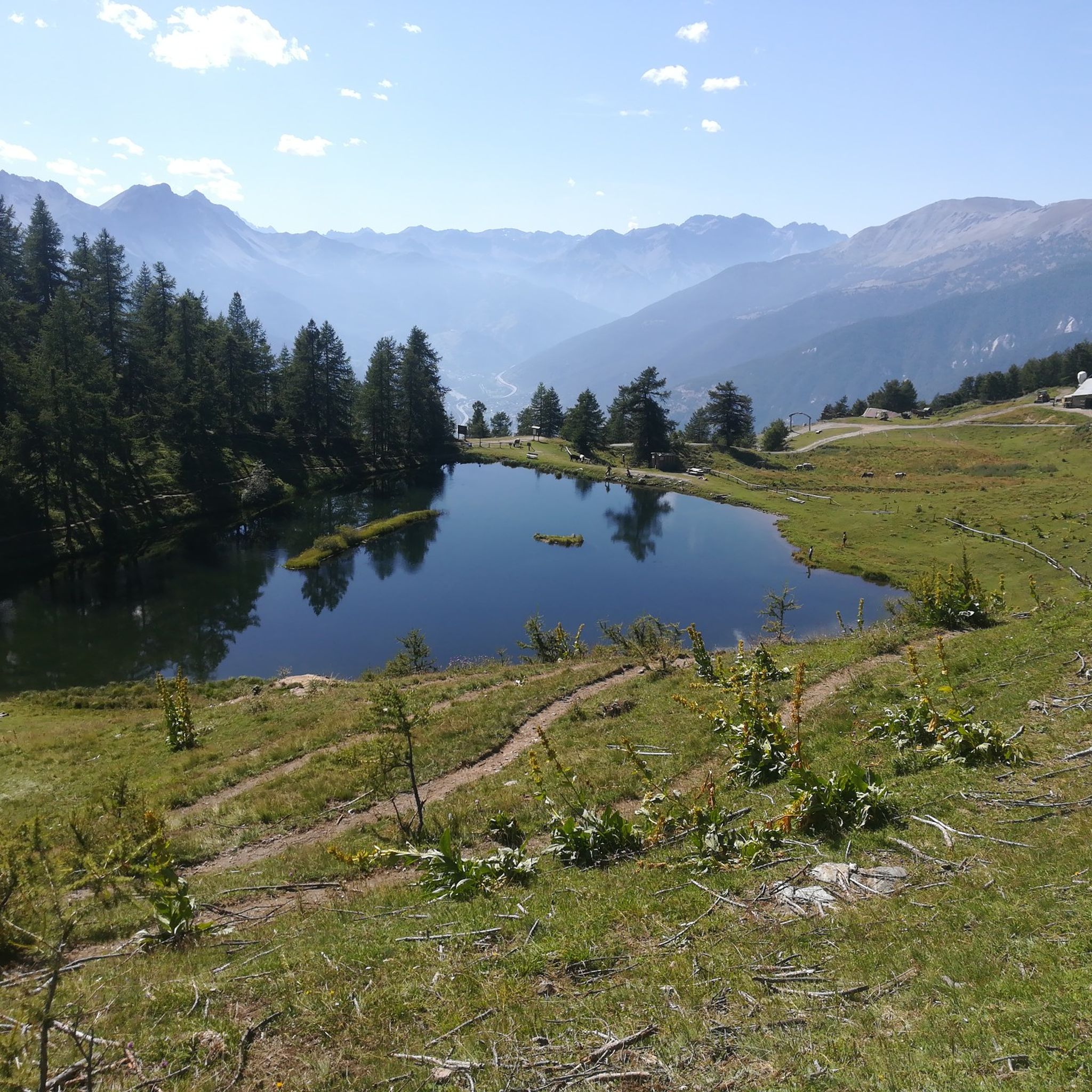
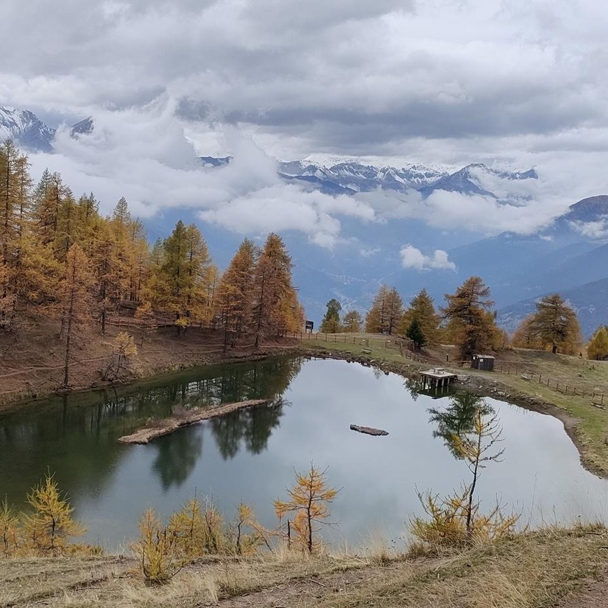
A small lake formed by the damming of the Chisonetto stream
0
1

Sportinia is always beautiful. Reached by a hike starting from the experimental center and passing through Pian della Rocca, on August 31st we found the Rocce Nere refuge open, where we enjoyed a platter and a beer.
0
0

A magical place, with a fantastic view of the Ecrins
0
0

A summit offering a stunning 360-degree view! Highly recommended for a beautiful sunset!
0
0

It can be reached starting from Thures with a simple walk suitable for everyone
0
0

Chateau Beaulard is a beautiful village, well-kept and enhanced, with the old school museum and bakery that offer a dip into the past. Ideal for walks suitable for all needs, it can be reached from Oulx with a flat route of about 50 minutes on a dirt road.
1
0

Easy walk, low altitude difference and paths accessible to all. Fascinating springs of ferruginous water, very beautiful valley and landscape. Too bad there is no real destination to reach where you can stop to eat and rest a bit.
0
1

Frequently Asked Questions
How many mountaineering routes are available around Sauze D'Oulx?
There are 6 mountaineering routes documented around Sauze D'Oulx on komoot, offering a range of experiences through the alpine landscape.
What are the difficulty levels of mountaineering routes in Sauze D'Oulx?
The mountaineering routes in Sauze D'Oulx primarily cater to experienced individuals, with 4 routes rated as difficult and 2 as moderate. There are no easy routes listed for this sport in the immediate area.
Are there any beginner-friendly mountaineering routes in Sauze D'Oulx?
For mountaineering specifically, the routes around Sauze D'Oulx are generally rated as moderate to difficult, meaning they require a good level of fitness and experience. There are no routes classified as easy for mountaineering in this guide.
What are some challenging mountaineering routes for experienced climbers in Sauze D'Oulx?
Experienced mountaineers will find several challenging options. The Monte Albergian Summit loop from Pragelato is a difficult 11.0 km trail with significant elevation gain. Another demanding option is the Monte Giassiez loop from Thures, covering 19.3 km with extensive views.
Can I find circular mountaineering routes in the Sauze D'Oulx area?
Yes, many of the mountaineering routes around Sauze D'Oulx are circular. Examples include the challenging Laghetto del Chiosonetto – Chisonetto Springs loop from Sestriere and the moderate Cima del Bosco loop from Thures.
What kind of attractions or landmarks can I expect to see along the mountaineering routes?
Along the mountaineering routes, you can encounter various points of interest. Notable landmarks include the historic Mont Chaberton Fort and the scenic Strada dell'Assietta and Colle dell'Assietta (2472 m). These routes often lead through high mountain passes and offer panoramic views.
Are there mountain huts or refuges available along the trails for breaks or overnight stays?
Yes, the region offers several mountain huts and refuges. You might find places like Assietta Refuge, Mulino di Laval Mountain Hut, or Levi Molinari Hut, which can provide a welcome break or a place to stay during longer expeditions.
What is the best time of year for mountaineering in Sauze D'Oulx?
The best time for mountaineering in Sauze D'Oulx is typically during the warmer months, from late spring to early autumn (June to September), when the trails are generally free of snow and weather conditions are more stable. Always check local weather forecasts before heading out.
Is it possible to go mountaineering in Sauze D'Oulx during winter?
Winter mountaineering in Sauze D'Oulx is possible but requires specialized equipment, experience, and careful planning due to snow, ice, and avalanche risks. Many routes become significantly more challenging or inaccessible. It's advisable to consult local guides and current conditions if planning a winter ascent.
What do other mountaineers say about the routes in Sauze D'Oulx?
The mountaineering routes around Sauze D'Oulx are highly rated by the komoot community, with an average score of 4.25 stars. Reviewers often praise the challenging terrain, the extensive alpine views, and the sense of accomplishment gained from tackling these high-altitude trails.
Are there any longer mountaineering routes for extended adventures?
For those seeking longer adventures, the Monte Giassiez loop from Thures is a substantial option, covering 19.3 km and typically taking over 7 hours to complete. This route offers a full day of challenging mountaineering.
Are there any moderate mountaineering routes suitable for those looking for a balanced challenge?
Yes, for a balanced challenge, you can explore routes like the Cima del Bosco loop from Thures, which is 8.3 km long, or the Rifugio Ciao Pais loop from Sauze d'Oulx, which spans 9.0 km. Both are rated as moderate and offer significant elevation changes without the extreme demands of the difficult routes.
How accessible are the mountaineering routes in Sauze D'Oulx by public transport?
While Sauze D'Oulx itself has some public transport connections, access to specific mountaineering trailheads can be limited. Many routes start from smaller villages or more remote locations, making a car often the most convenient option. It's recommended to check local bus schedules for specific starting points if relying on public transport.
Most popular routes around Sauze D'Oulx
Most popular attractions around Sauze D'Oulx

Get inspired with the komoot mobile app


Explore more
Browse the best Mountain Hikes & Routes in other regions.
