The best walks and hikes around Sauze Di Cesana
4.5
(697)
4,677
hikers
43
hikes
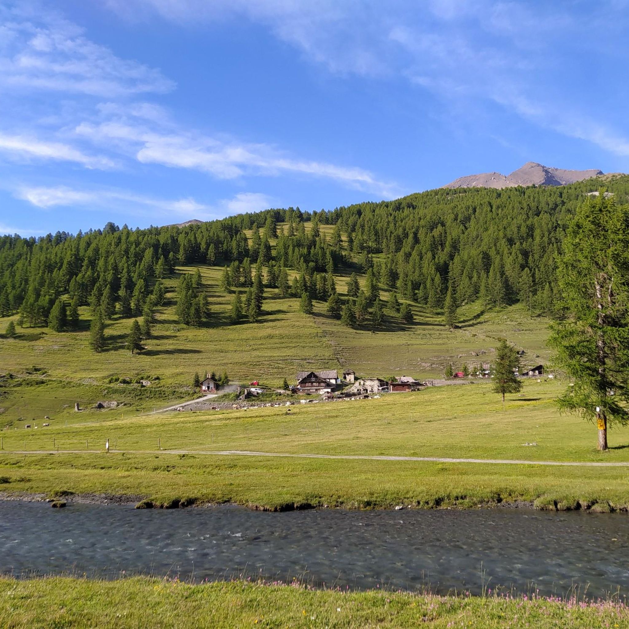
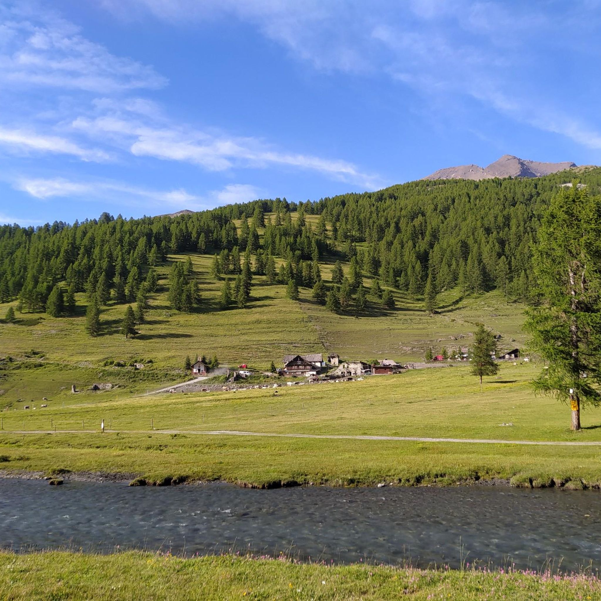
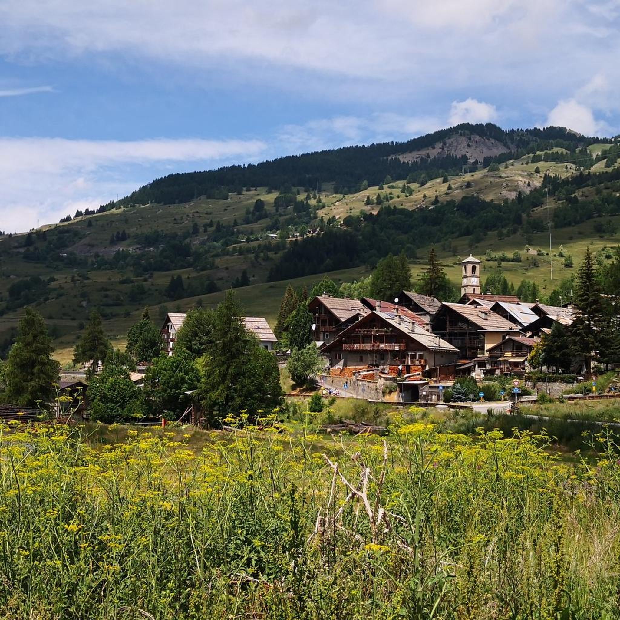
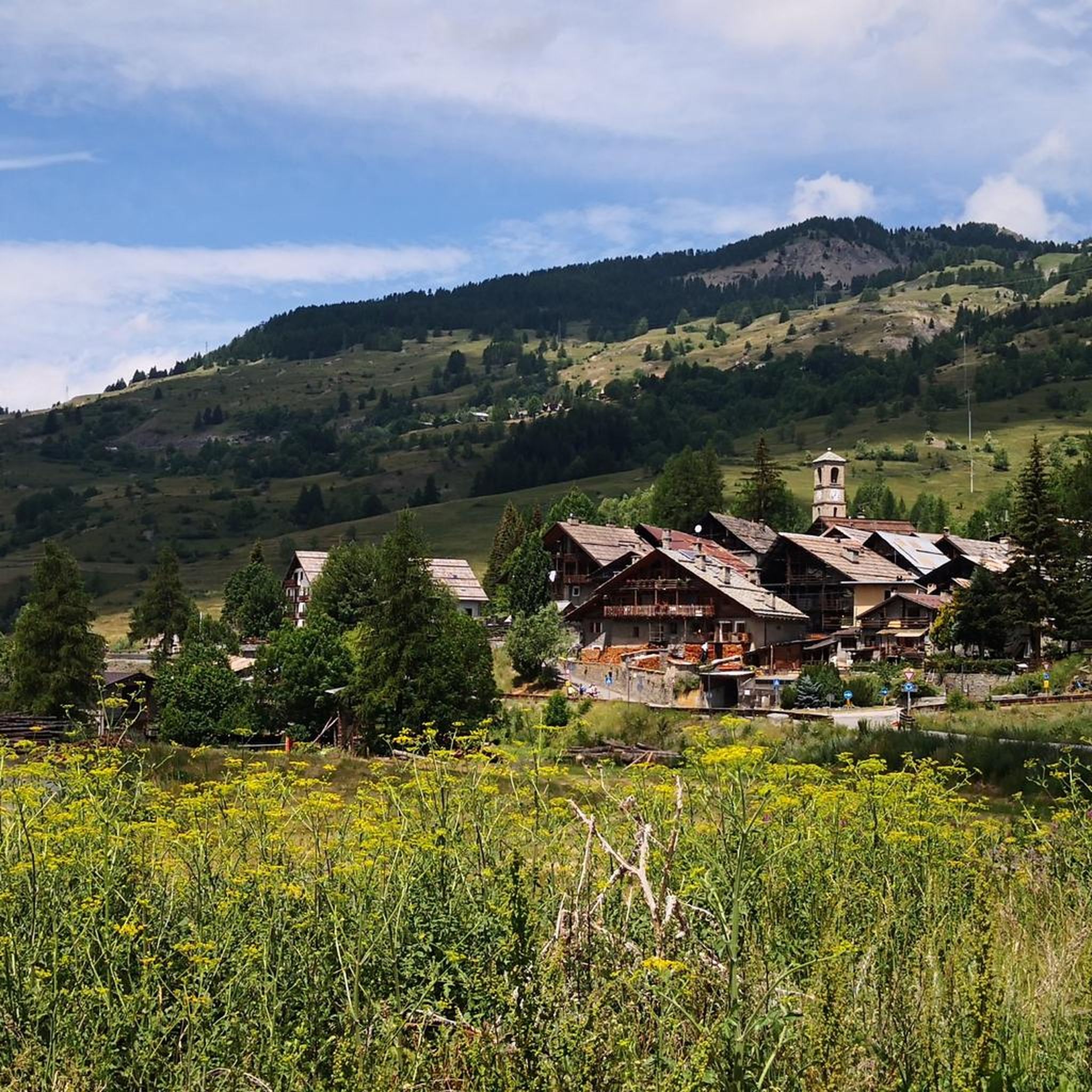
Hiking around Sauze Di Cesana offers diverse terrain in the Metropolitan City of Turin, characterized by high, rolling mountains, intense green meadows, and significant natural features. The region, situated near the French border, includes the dramatic Gorges of San Gervasio with their pale rock walls and the scenic Valle Argentera, through which the Pellice stream flows. Peaks exceeding 3,000 meters surround the area, providing an alpine backdrop for outdoor pursuits.
Best hiking trails around Sauze Di Cesana
- The most popular…
Last updated: October 10, 2026
3.8
(19)
114
hikers
8.89km
05:41
1,080m
1,080m
Hard hike. Very good fitness required. Sure-footedness, sturdy shoes and alpine experience required.
5.0
(2)
14
hikers
13.8km
04:59
720m
720m
Moderate hike. Good fitness required. Mostly accessible paths. Sure-footedness required.

3
hikers
6.21km
01:43
100m
100m
Easy hike. Great for any fitness level. Easily-accessible paths. Suitable for all skill levels.
3.7
(3)
13
hikers
8.68km
05:41
1,220m
1,220m
Hard hike. Very good fitness required. Mostly accessible paths. Sure-footedness required.
5.0
(3)
11
hikers
11.1km
03:58
690m
690m
Moderate hike. Good fitness required. Easily-accessible paths. Suitable for all skill levels.
Get access to more routes and recommendations from other explorers.
Already have an account?
Our route recommendations are based on thousands of hikes, rides, and runs completed by other people on komoot.
Start today with a free account
Your next adventure awaits.

Tips from the Community

Convenient parking...and on a day like this starting the walk is easy
0
0

The Bivacco on the top of the Bosco was dedicated to the Cesana mountain guide Mario Perona who died, along with 5 other people, in the crash of a heli-skiing helicopter in 2003.
2
0

A classic MTB ride, the descent towards Thures ends in an instant.
0
0

At the summit there is a small church refuge useful as a shelter or to warm up on cold days. It can be reached from Thures via paths or from Sauze di Cesana via a small road
0
0

road that leads to a mountain pasture with excellent cheeses
1
0
main road along the river
1
0
very nice waterfall to see
1
0
very easy path that leads to the waterfall
1
0
Frequently Asked Questions
What types of hiking trails are available around Sauze di Cesana?
Sauze di Cesana offers a diverse range of trails suitable for various abilities. You'll find everything from easy riverside walks with minimal elevation gain, such as the Walk along the river – province of Torino, to moderate routes that traverse forests before opening up to summit views, like the Cima del Bosco Summit Trail from Sauze di Cesana. For experienced hikers, there are challenging mountain ascents through varied landscapes, including routes like Cima del Pelvo and Punta Serpentiera Loop.
Are there any family-friendly hiking options in the area?
Yes, Sauze di Cesana provides several options for families. Easy routes, such as those found in Valle Argentera, are often on dirt roads with minimal elevation gain, making them suitable for all ages. The Walk along the river – province of Torino is another gentle path that offers a pleasant experience for families.
What natural landmarks or features can I see while hiking near Sauze di Cesana?
The region is rich in natural beauty. You can explore the dramatic Gorges of San Gervasio with their imposing pale rock walls, or the picturesque Valle Argentera, where the Pellice stream flows and a charming waterfall can be found near the Willy Jervis refuge. A major highlight is the 13 Lakes Plateau, featuring stunning alpine lakes like the Black Lake, White Lake, and Twin Lakes. The area is also surrounded by peaks exceeding 3,000 meters, offering expansive views.
Are there any historical sites or points of interest along the trails?
Yes, hikers can encounter historical elements during their outdoor adventures. Some paths lead past early 1900s forts, adding a historical dimension. Within Sauze di Cesana itself, the historic Church of San Restituto, dating back to 1065, is a notable cultural point of interest. For those interested in mountain history, the Mont Chaberton Fort is a significant nearby landmark.
What is the best time of year to go hiking in Sauze di Cesana?
The best time for hiking in Sauze di Cesana is generally from late spring through early autumn (May to October). During these months, the weather is typically mild, and the high-altitude trails are more likely to be free of snow, especially after the snowmelt in late spring. The intense green meadows are particularly vibrant in summer.
Are there any circular hiking routes available?
Yes, there are circular routes to explore. For instance, the Cima del Pelvo and Punta Serpentiera Loop offers a challenging circular experience with significant elevation gain and descent, allowing you to return to your starting point without retracing your steps.
What do other hikers say about the trails in Sauze di Cesana?
The hiking routes in Sauze di Cesana are highly regarded by the komoot community, with an average rating of 4.5 stars from over 550 reviews. Hikers often praise the varied terrain, from easy riverside paths to challenging mountain ascents, and the stunning natural features like the 13 Lakes Plateau and Valle Argentera.
Can I bring my dog on the hiking trails around Sauze di Cesana?
While many trails in the region are dog-friendly, it's always advisable to check specific regulations for each route or protected area. Generally, dogs are welcome on trails, but should be kept on a leash, especially in areas with wildlife or livestock, and owners are expected to clean up after their pets.
Are there any trails that lead to high mountain peaks or offer panoramic views?
Absolutely. Sauze di Cesana is surrounded by peaks exceeding 3,000 meters, providing numerous opportunities for panoramic views. Routes like the Cima del Bosco Summit Trail from Sauze di Cesana lead through forests before opening up to expansive summit vistas. For more challenging ascents, the Trail 612 to Colle della Ramière also offers stunning mountain landscapes.
How many hiking routes are there in total around Sauze di Cesana?
There are over 40 hiking routes available around Sauze di Cesana, catering to various difficulty levels. This includes 8 easy routes, 22 moderate routes, and 10 difficult routes, ensuring options for every hiker.
What is the typical elevation gain on trails in this region?
The elevation gain varies significantly depending on the trail's difficulty. Easy routes, such as the Walk along the river – province of Torino, have minimal elevation gain, around 100 meters. Moderate trails like Cima Roudel via Gran Miol Valley Trail can involve around 700 meters of ascent, while difficult routes, such as Cima del Pelvo and Punta Serpentiera Loop, can exceed 1200 meters of elevation gain.
Most popular routes around Sauze Di Cesana
Most popular attractions around Sauze Di Cesana

Get inspired with the komoot mobile app


Explore more
Browse the best Hikes in other regions.
