The best cycling routes around Sestriere
4.9
(40)
3,012
riders
28
rides
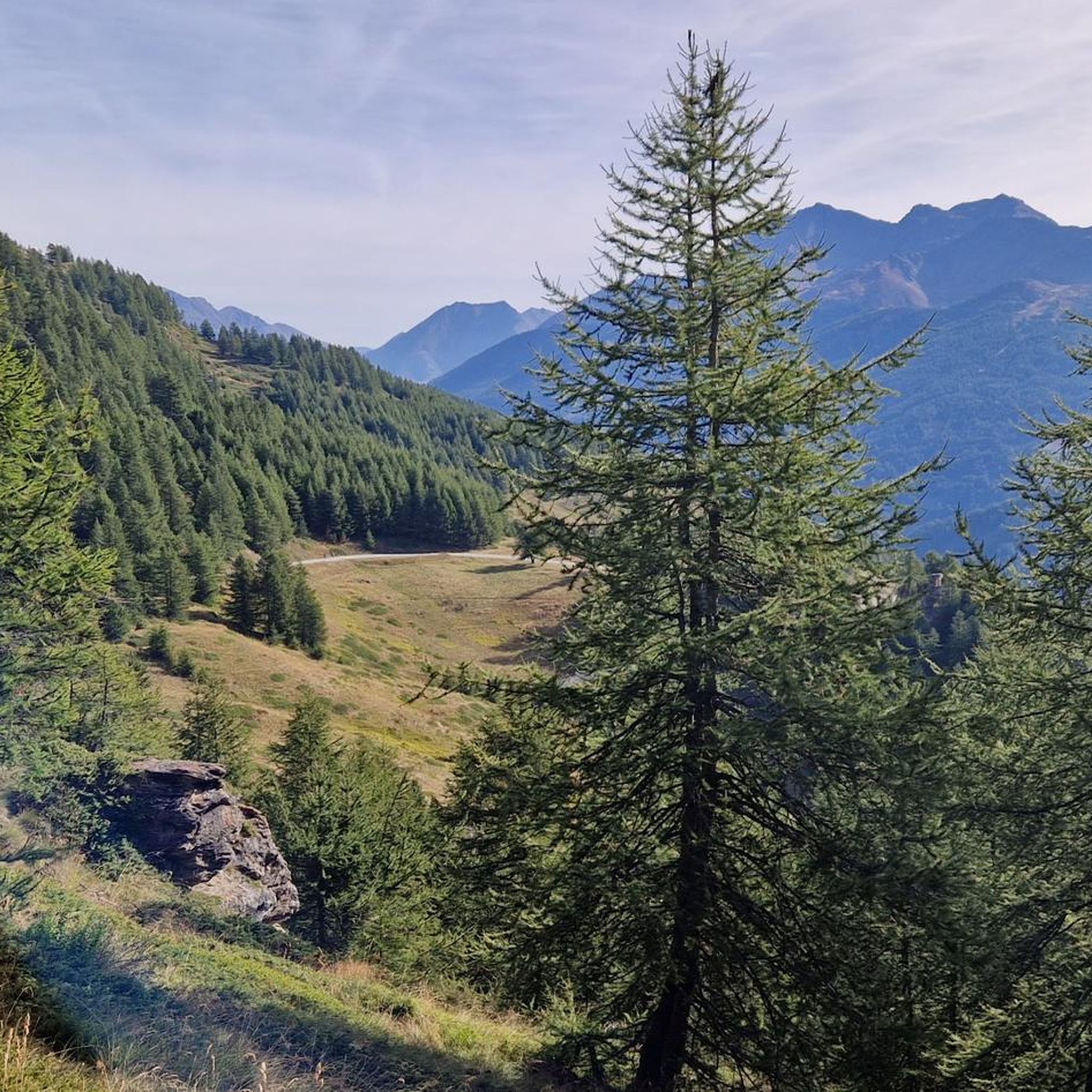
Touring cycling around Sestriere is characterized by its location in the Italian Piedmont Alps, offering a diverse landscape of high mountain paths and historic military dirt roads. The region features significant elevation gains, connecting the Susa and Chisone Valleys through an Alpine environment. Riders encounter lush meadows, forests of larch and Swiss pine, and rocky terrain at higher altitudes. This varied topography provides continuous panoramic views across the Alpine arc.
Best touring cycling routes around Sestriere
- The most popular touring…
Last updated: August 25, 2026
5.0
(2)
1,133
riders
26.8km
02:05
740m
740m
Hard bike ride. Very good fitness required. Mostly paved surfaces. Suitable for all skill levels.
4.3
(10)
839
riders
92.6km
06:43
2,050m
2,050m
Hard bike ride. Very good fitness required. Mostly paved surfaces. Suitable for all skill levels.

Sign up for free
4.4
(5)
384
riders
92.4km
07:15
2,540m
2,530m
Hard bike ride. Very good fitness required. Mostly paved surfaces. Suitable for all skill levels.
5.0
(5)
109
riders
84.5km
05:55
1,610m
1,610m
Hard bike ride. Very good fitness required. Mostly paved surfaces. Suitable for all skill levels.
5.0
(3)
128
riders
42.4km
04:49
1,430m
1,430m
Hard bike ride. Very good fitness required. Mostly paved surfaces. Suitable for all skill levels.
Get access to more routes and recommendations from other explorers.
Sign up for free
Already have an account?
Our route recommendations are based on thousands of hikes, rides, and runs completed by other people on komoot.
Start today with a free account
Your next adventure awaits.
Login or Signup
Popular around Sestriere
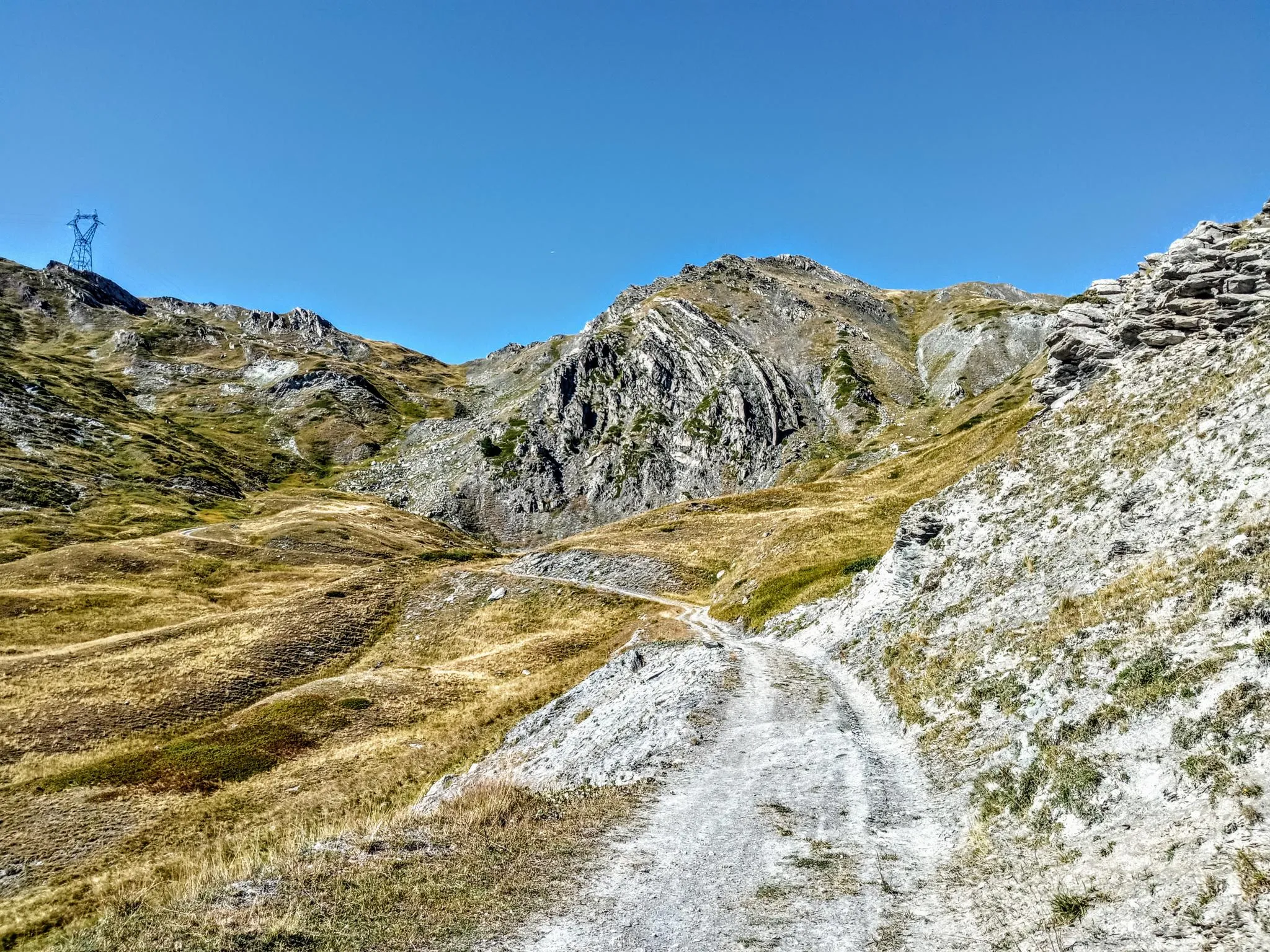
Between valleys and peaks – Ultra Gravel Tour des Alpes
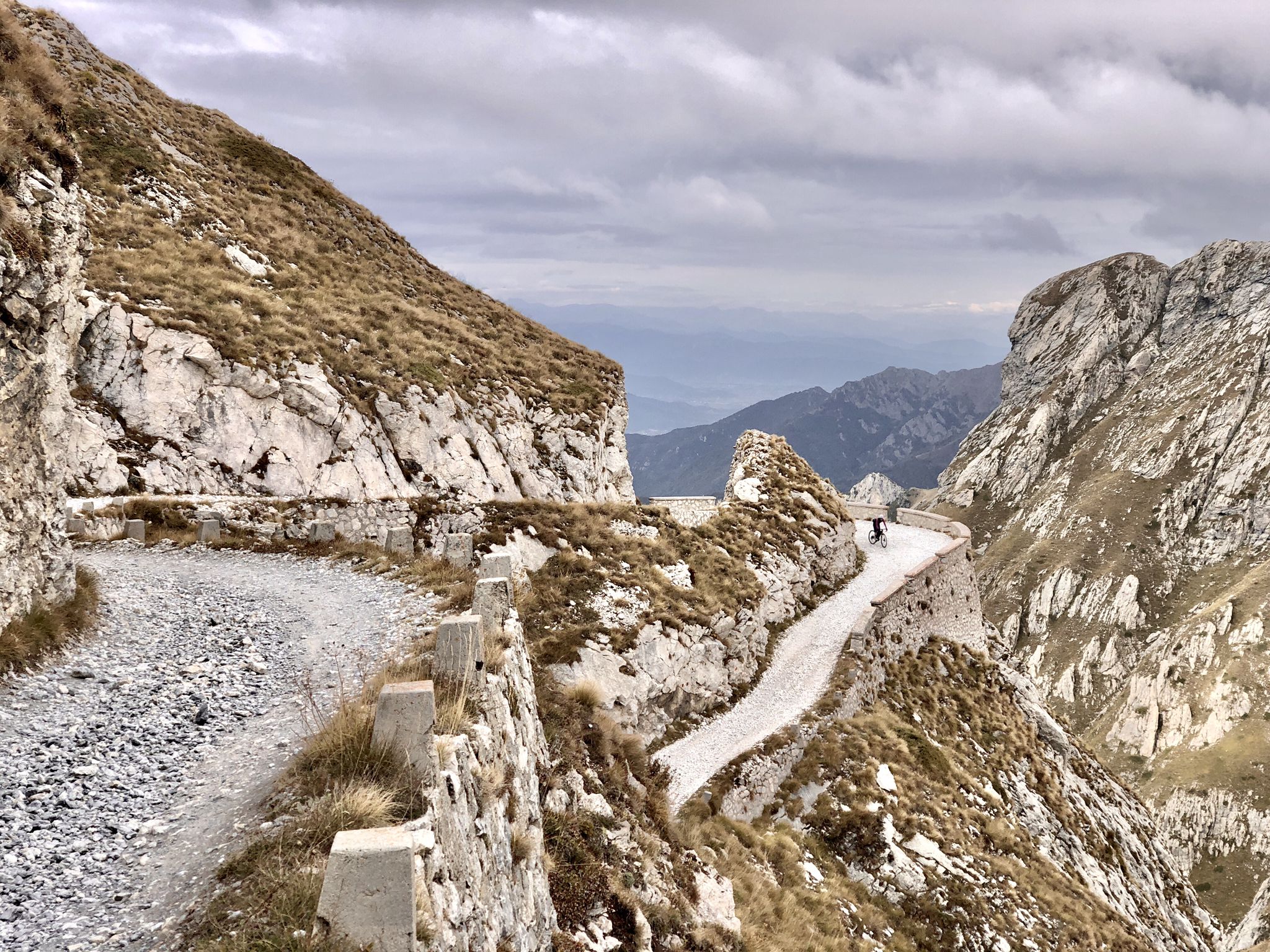
Rough and tough – spectacular gravel loops in the Alps
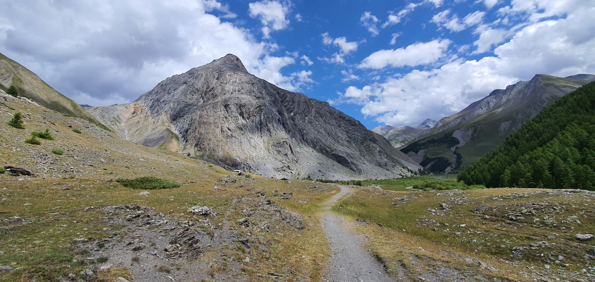
Western trans-alpine crossing – pure adventure on your mountain bike
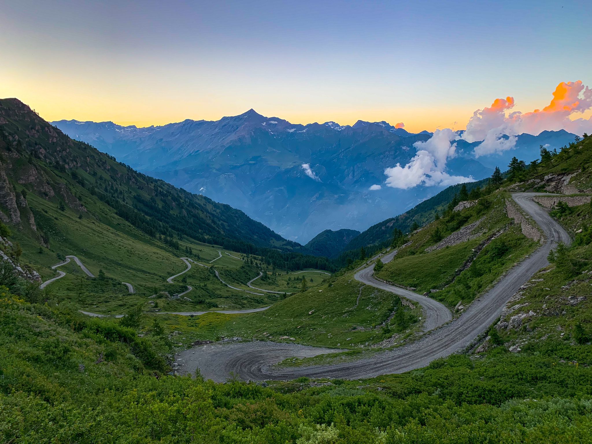
Chasing the sun across the Alps — unsupported solo
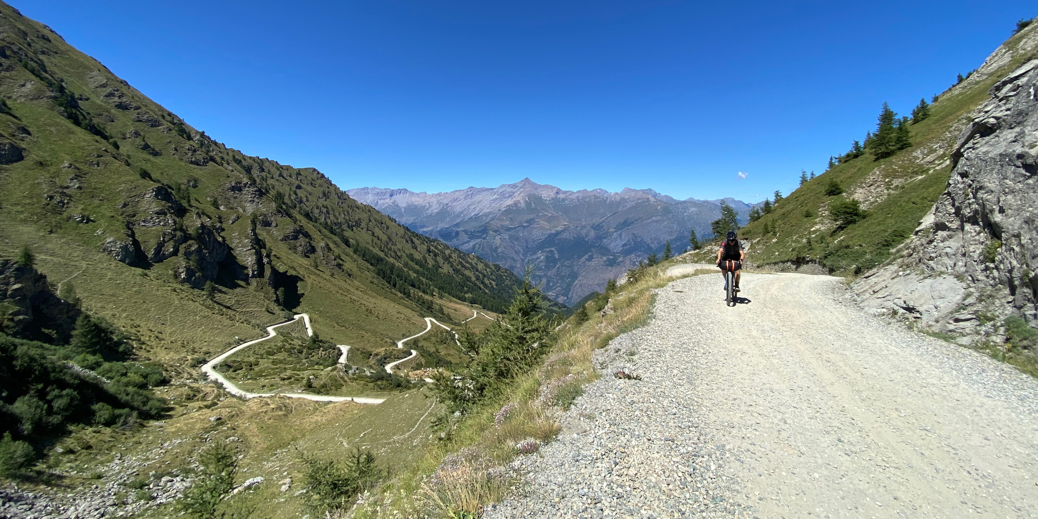
High altitude military roads – gravel routes on the Assietta road
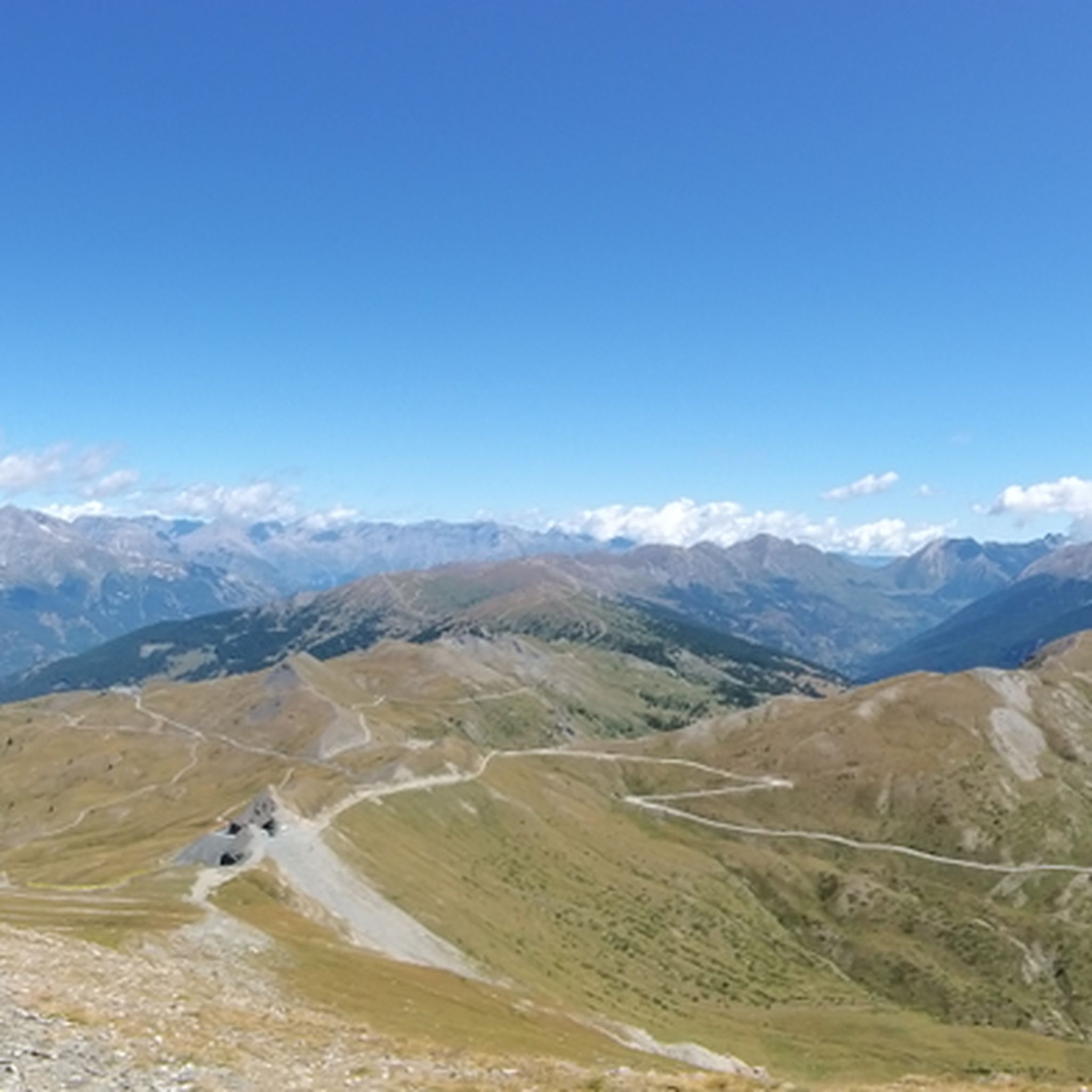
Hiking around Sestriere
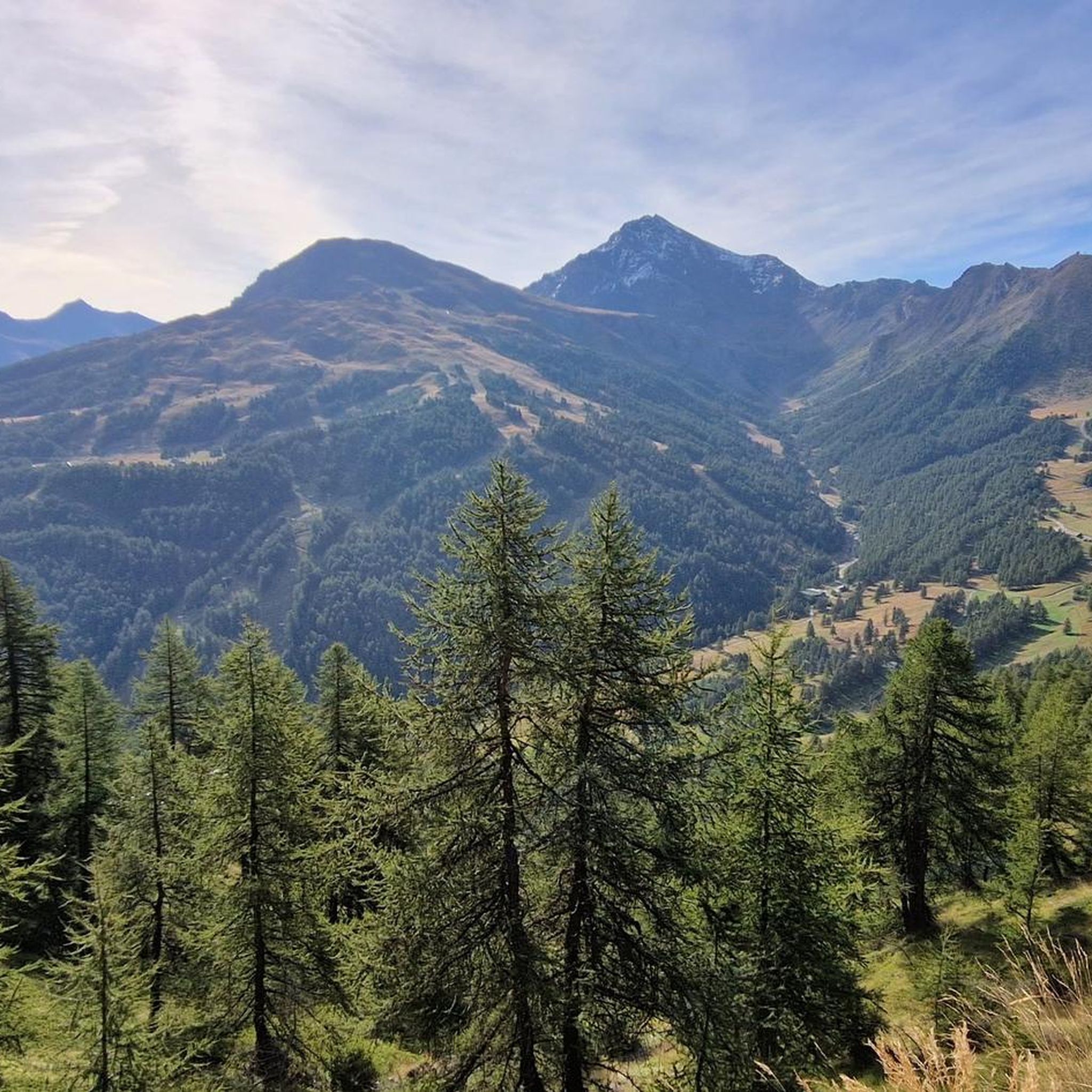
Road Cycling Routes around Sestriere
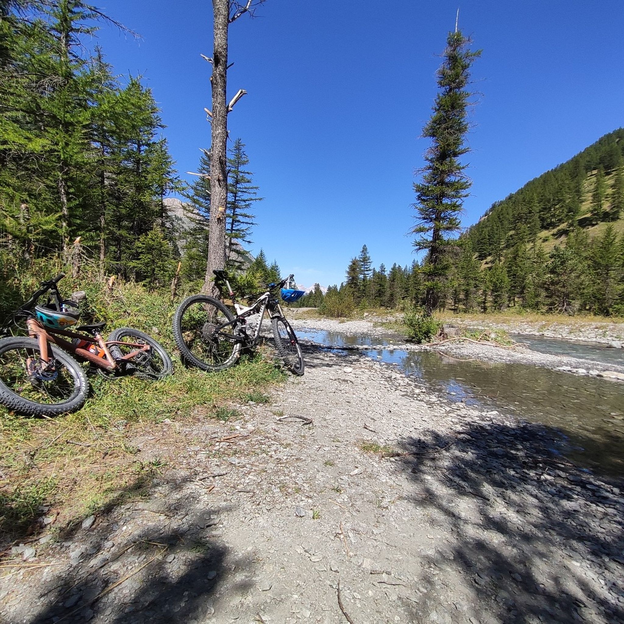
MTB Trails around Sestriere
Running Trails around Sestriere

Gravel biking around Sestriere
Other adventures around Sestriere


Tips from the Community

This hill is best appreciated when climbing from Monfol because it offers an excellent panoramic viewpoint over the Chisone valley. You arrive at the end of a long traverse, very restful especially if cycled due to the moderate gradients. The downside is the significant traffic of off-road vehicles, almost all foreign, that use the beautiful high-altitude road known as the Strada dell'Assietta. Make sure to refuel along the way BEFORE the pass, taking advantage of the many streams, because from the pass onwards, whether heading towards Sestriere or towards the Assietta, you'll find almost no water... and there's a lot of dust! Another recommendation: avoid this route if a thunderstorm threatens, as there are no shelters and you risk serious lightning strikes!
0
0

Returning from Susa-Susa (direction Monginevro-Cesana) on 07/26/2004, we found ourselves, as we knew, in front of the tunnel forbidden to bicycles and with the entrance to the old road that crosses the avalanche protection tunnels closed by a municipal ordinance. Passage prohibited for pedestrians and cyclists for safety reasons. Given the late hour, the many km already covered, and the open barrier, probably forced by some other cyclist who found themselves in a similar situation, we passed anyway. Unfortunately, however, the situation is this, meaning you shouldn't pass by bike. As of today, I recommend that those arriving from Briancon take the detour to the Colle della Scala (direction Nevache) and descend to Bardonecchia.
1
0

starting point for various Alpine tours
0
0
one of the many hills along the military road
0
0

A fortress worth seeing, unfortunately very busy.
0
0


Although the flag parade seen in some of the photos (which various users have uploaded to the highlight) could theoretically fit into a memorial for the victims of the two world wars – who came from many different nationalities – they do not belong in any context with the “Monumento ai caduti”.
0
0

It's the first thing you notice, even from afar, when you arrive at Monginevro
0
1
Frequently Asked Questions
What kind of terrain can I expect on touring cycling routes around Sestriere?
Touring cycling around Sestriere offers a diverse Alpine landscape. You'll encounter high mountain paths, historic military dirt roads (often called 'white roads'), lush meadows, and forests of larch and Swiss pine at lower altitudes. Higher elevations feature rocky terrain, providing continuous panoramic views across the Alpine arc, including vistas of the Susa and Chisone Valleys.
Are there routes suitable for less experienced touring cyclists in Sestriere?
While Sestriere is known for its challenging climbs and significant elevation gains, there are also numerous easy and moderate touring cycling routes available. These paths allow riders of varying fitness levels to enjoy the stunning Alpine scenery. Out of over 30 routes, 11 are classified as moderate and 1 as easy, ensuring options for everyone.
What are some notable historical or natural landmarks I can see along the touring cycling routes?
Sestriere's routes are rich in history and natural beauty. You can cycle past historic fortifications like the Fort of Exilles and the Fort of Fenestrelle. Natural features include the Lac Gignoux (Lake of Seven Colours) and the Montgenèvre Pass. The region also boasts the Strada dell'Assietta, Europe's highest drivable dirt road, offering a blend of history and natural landscapes.
What is the best time of year for touring cycling in Sestriere?
The best time for touring cycling in Sestriere is typically during the warmer months, from late spring to early autumn. This period offers more favorable weather conditions, with lush meadows and accessible high-altitude paths. The Alpine environment transitions from green landscapes to rocky scree, providing diverse scenery throughout the season.
Are there any circular touring cycling routes in Sestriere?
Yes, Sestriere offers several excellent circular touring cycling routes. For example, the challenging Col Basset – Monte Genevris loop from Sestriere covers nearly 40 km with significant elevation. Another option is the Sestriere – Poggio Capret loop from Sestriere, a 26.7 km route that provides a good challenge.
What do other touring cyclists say about the routes in Sestriere?
The touring cycling routes around Sestriere are highly rated by the komoot community, with an average score of 4.8 stars from over 30 reviews. Cyclists often praise the challenging high mountain paths, the stunning panoramic views of the Alpine arc, and the historical significance of routes that pass by old fortifications and military roads.
Are there any touring cycling routes that pass by mountain huts or refuges?
Yes, some touring cycling routes in Sestriere offer opportunities to pass by or stop at mountain huts. For instance, the Assietta Refuge is a notable hut in the area. Other refuges like Mulino di Laval Mountain Hut and Troncea Hut are also part of the region's network, providing potential rest stops or points of interest.
How many touring cycling routes are available around Sestriere?
There are over 30 touring cycling routes available around Sestriere, offering a wide range of options for different skill levels and preferences. This includes 1 easy, 11 moderate, and 19 difficult routes, ensuring a suitable challenge for every touring cyclist.
Can I find routes that are suitable for e-bikes in Sestriere?
Yes, Sestriere is increasingly accommodating for e-bike excursions. The availability of e-bikes makes high-altitude roads like the famous Strada dell'Assietta accessible to a wider audience, allowing more people to enjoy the challenging terrain and breathtaking views without requiring extreme fitness.
Are there any specific routes that are particularly challenging for experienced touring cyclists?
For experienced touring cyclists seeking a significant challenge, Sestriere offers routes with substantial elevation gains. The View of the Fort of Exilles – View of Fort of Exilles loop from Sestriere is a difficult 92.4 km path with over 2,500 meters of ascent, offering extensive Alpine scenery and historical fortifications.
What kind of views can I expect on the touring cycling routes in Sestriere?
The touring cycling routes in Sestriere offer continuous panoramic views of the Alpine arc. You can expect to see majestic peaks like Mount Rocciamelone and Gran Paradiso, the Monviso Massif, and dual vistas of Sestriere and Sauze d'Oulx, as well as the Susa and Chisone Valleys. High points like Basset Hill (2,421 meters) and Mount Fraiteve (2,701 meters) provide particularly breathtaking panoramas.
Most popular routes around Sestriere
Most popular attractions around Sestriere

Get inspired with the komoot mobile app


Explore more
Browse the best Cycling routes in other regions.
